Ćwilin via Czarny Dział from Mszana Dolna - the yellow trail
Nearby: Mszana Dolna| Distance | 9.2km |
|---|---|
| Time | 4h 12min |
| Ascents | 765m |
| Descents | 96m |
wb_sunny Route in the sun
directions_car Access by car
directions_bus Can be reached by bus
The yellow trail to Ćwilin from Mszana Dolna through Czarny Dział is a suggestion for a longer but very scenic hike in the Beskid Wyspowy mountains.
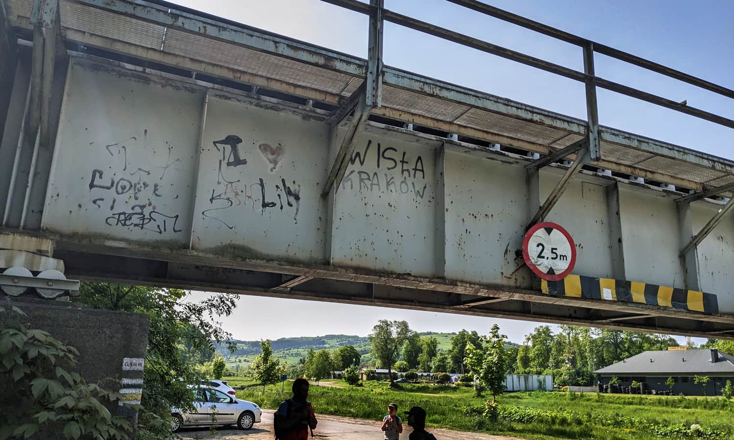
Starting point of the yellow trail in Mszana Dolna
The starting point of the trail in Mszana Dolna can be easily found near the City Hall. You can park in the center (for example, near the City Hall on weekends) or in the parking bays on Zielona Street, near the railway viaduct.
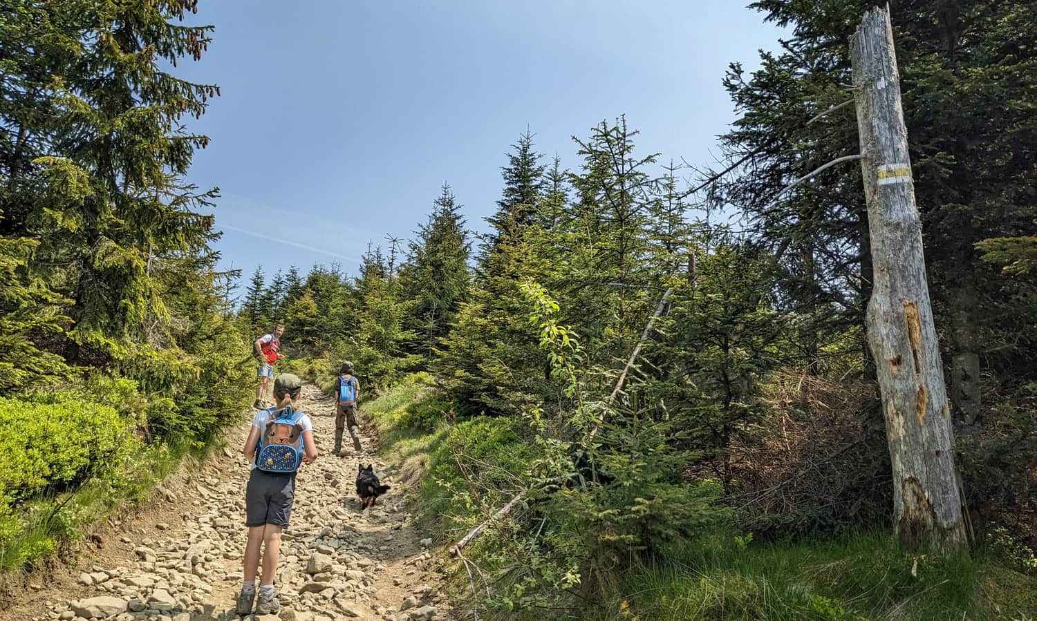
Marking of the yellow trail
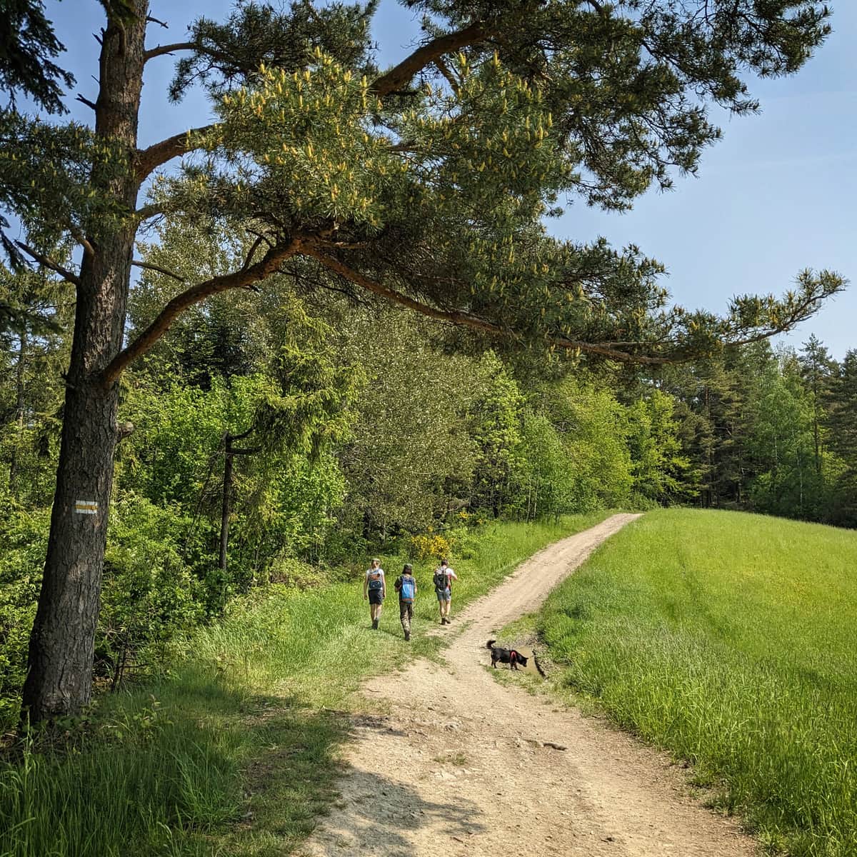
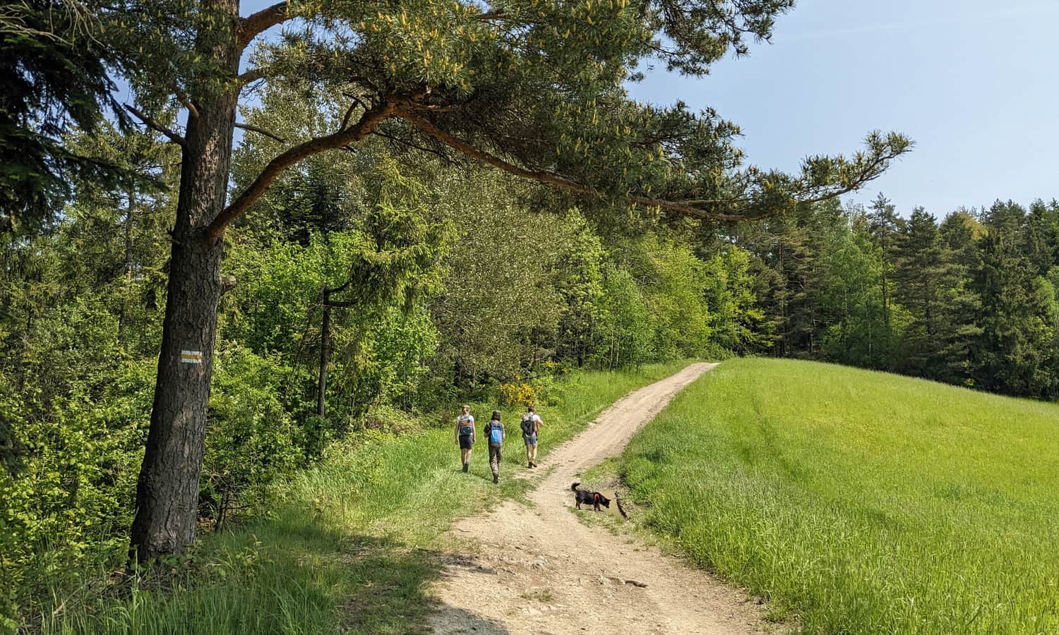
According to guidebooks, the marking of the yellow trail from Mszana Dolna to Czarny Dział leaves much to be desired... When walking along Mszanka River in Mszana Dolna, for example, we have to turn left onto the first concrete road (even though there is no sign!). This road runs along a small stream that flows into Mszanka River near Zielona Street, and we will follow it until we reach the foot of Wsołowa.
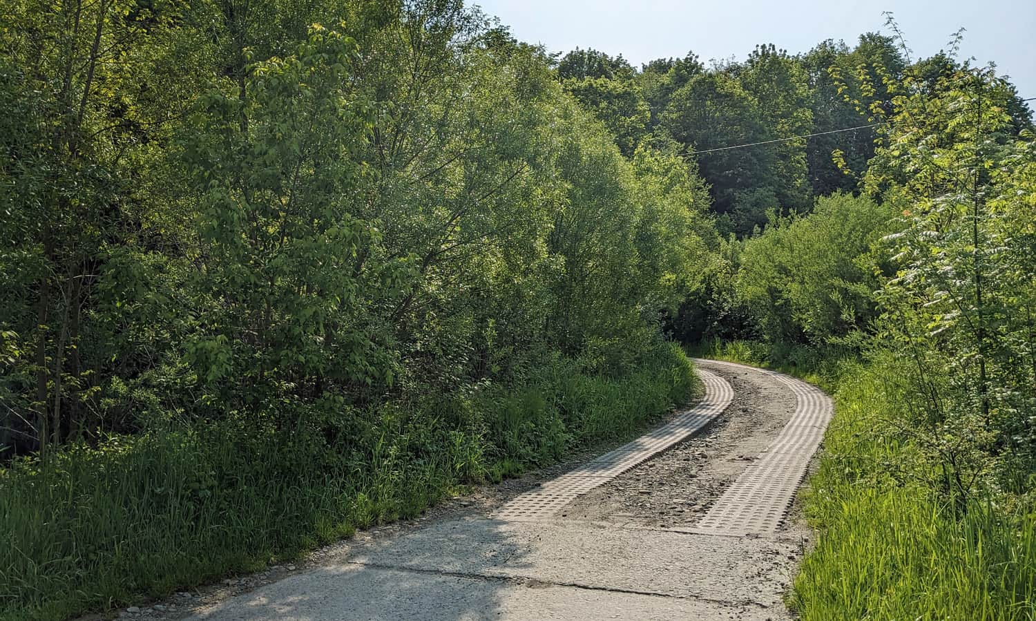
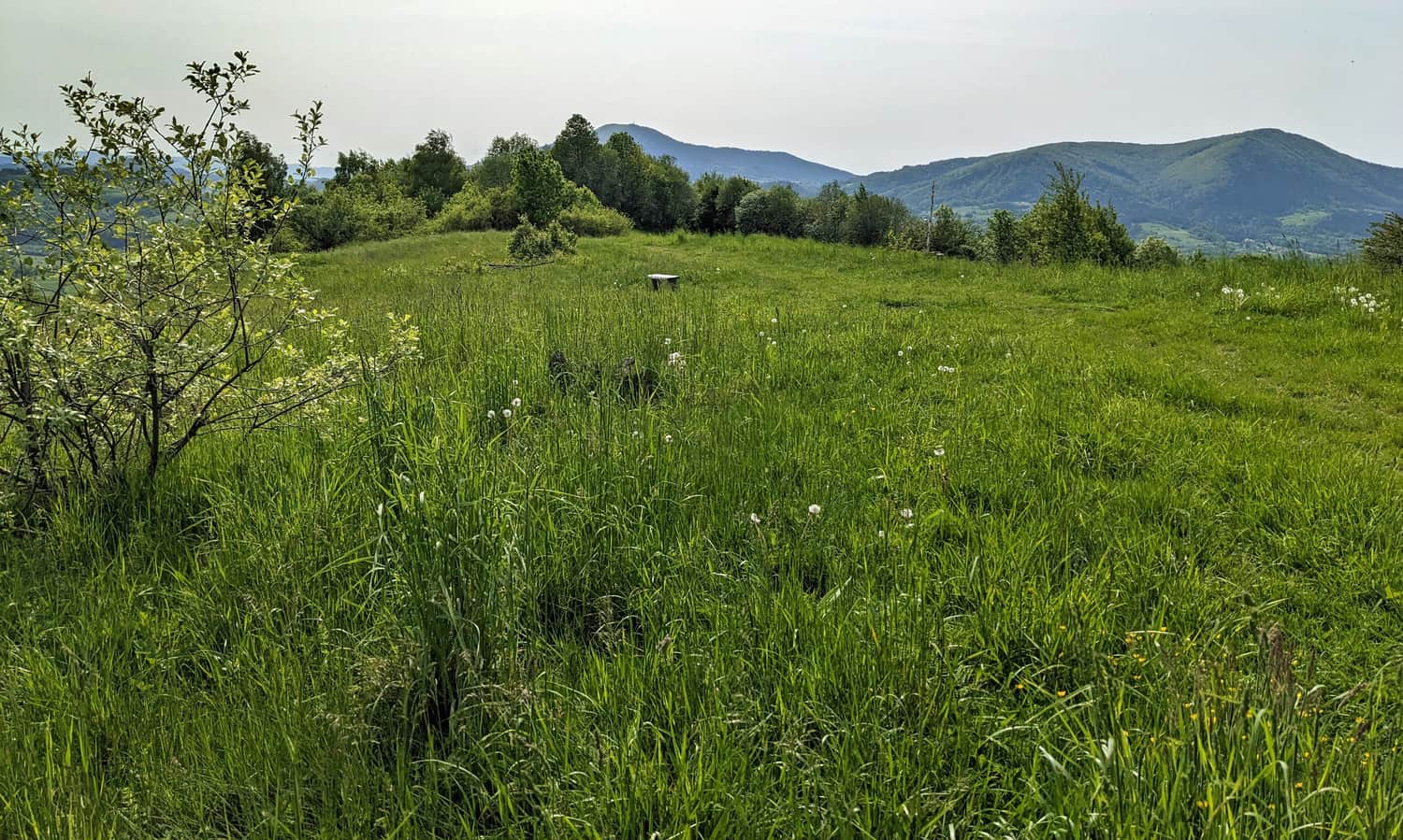
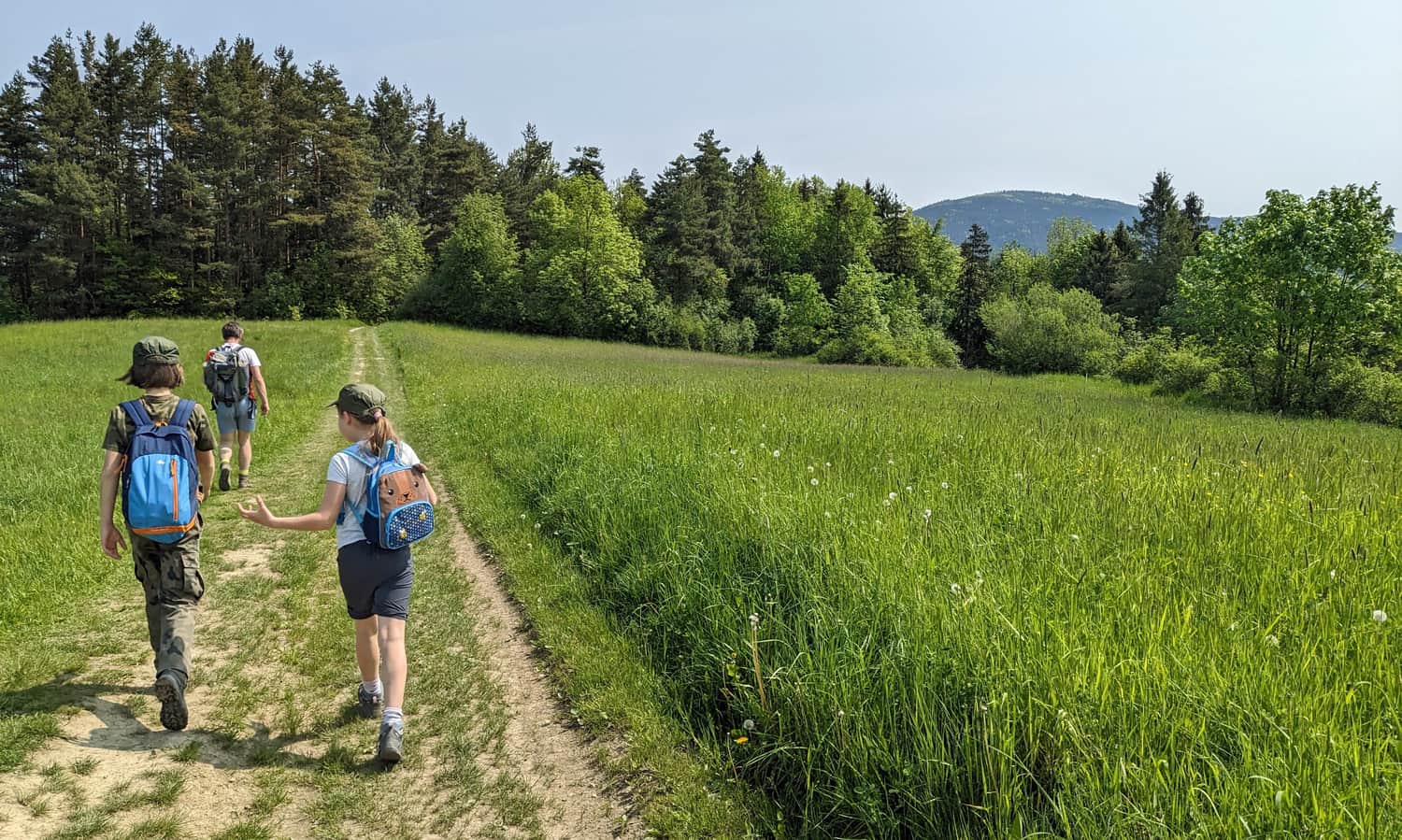
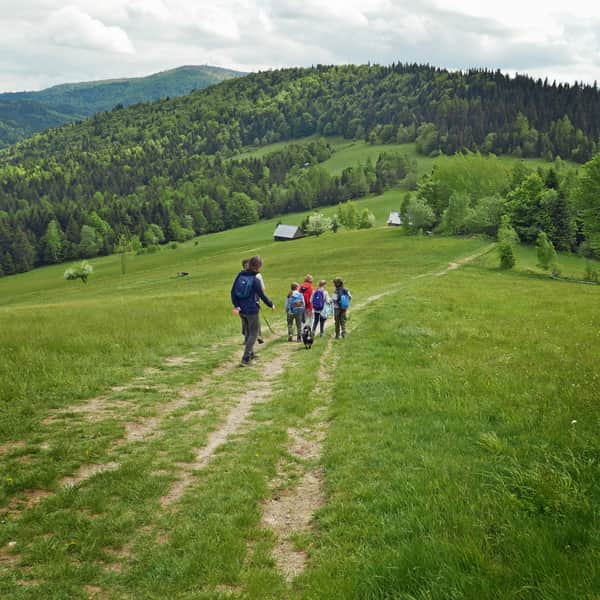
Along this road, we pass the last buildings and enter scenic meadows. The road becomes unpaved and sometimes less visible. Remember to walk in such a way that the bushes with the stream are on your right side when in doubt. It's also worth checking the GPS location on the map from time to time.

Views from the yellow trail Mszana Dolna - Czarny Dział
After entering the meadows above Mszana, it's worth taking a look around! Behind us, there are Luboń Wielki and Szczebel:
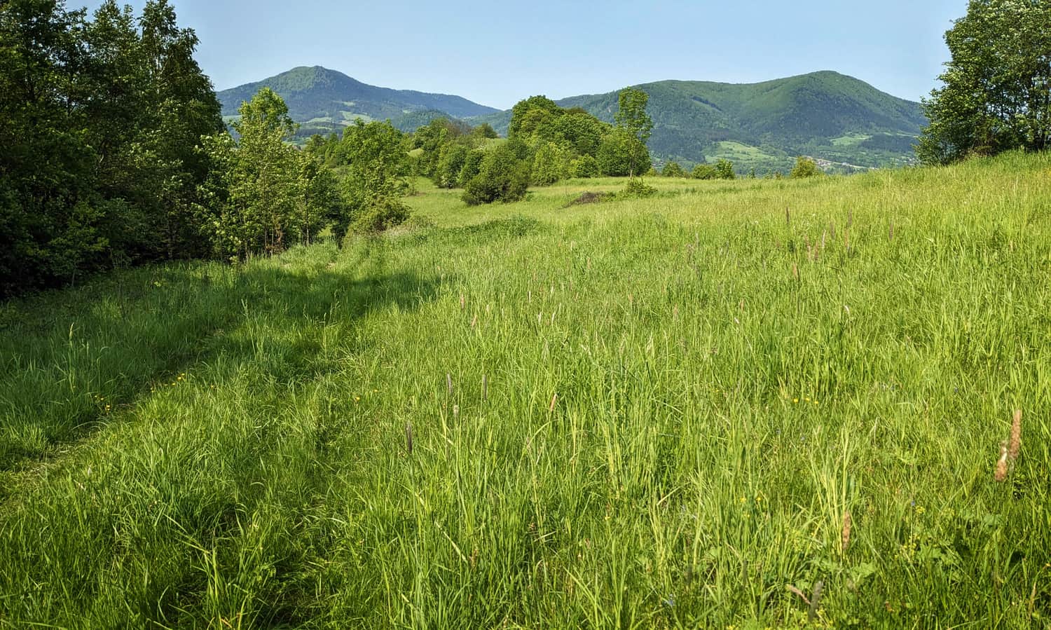
...and on the side, there is the majestic massif of the three-peaked Lubogoszcz:
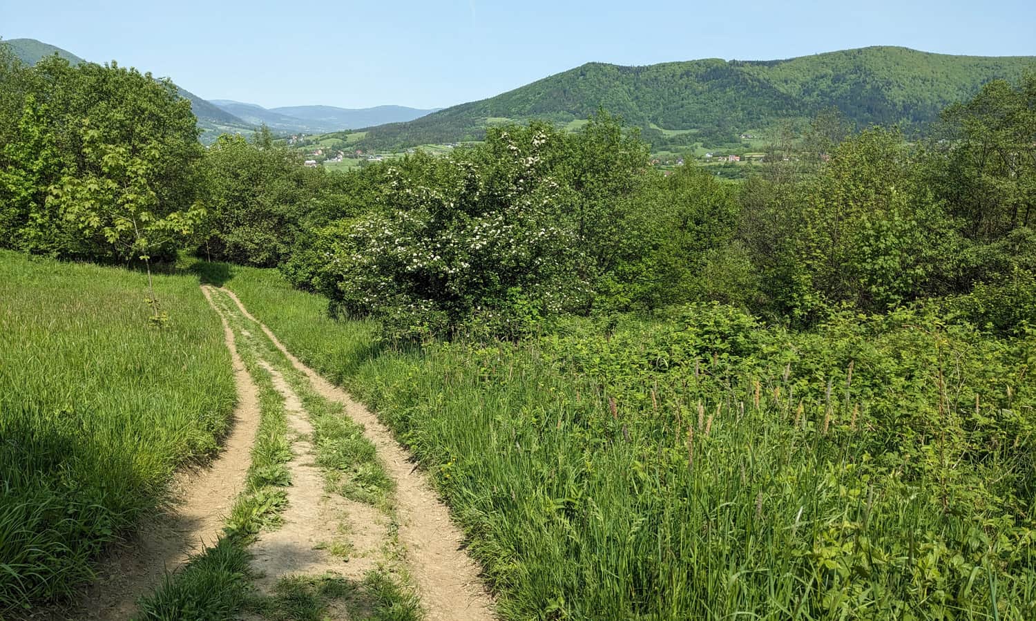
Wsołowa above Mszana Dolna
Wsołowa is a scenic hill above Mszana Dolna. The yellow trail bypasses its summit, but if you have a moment, it's worth stopping by. From Wsołowa, we can see a wide panorama to the southwest.
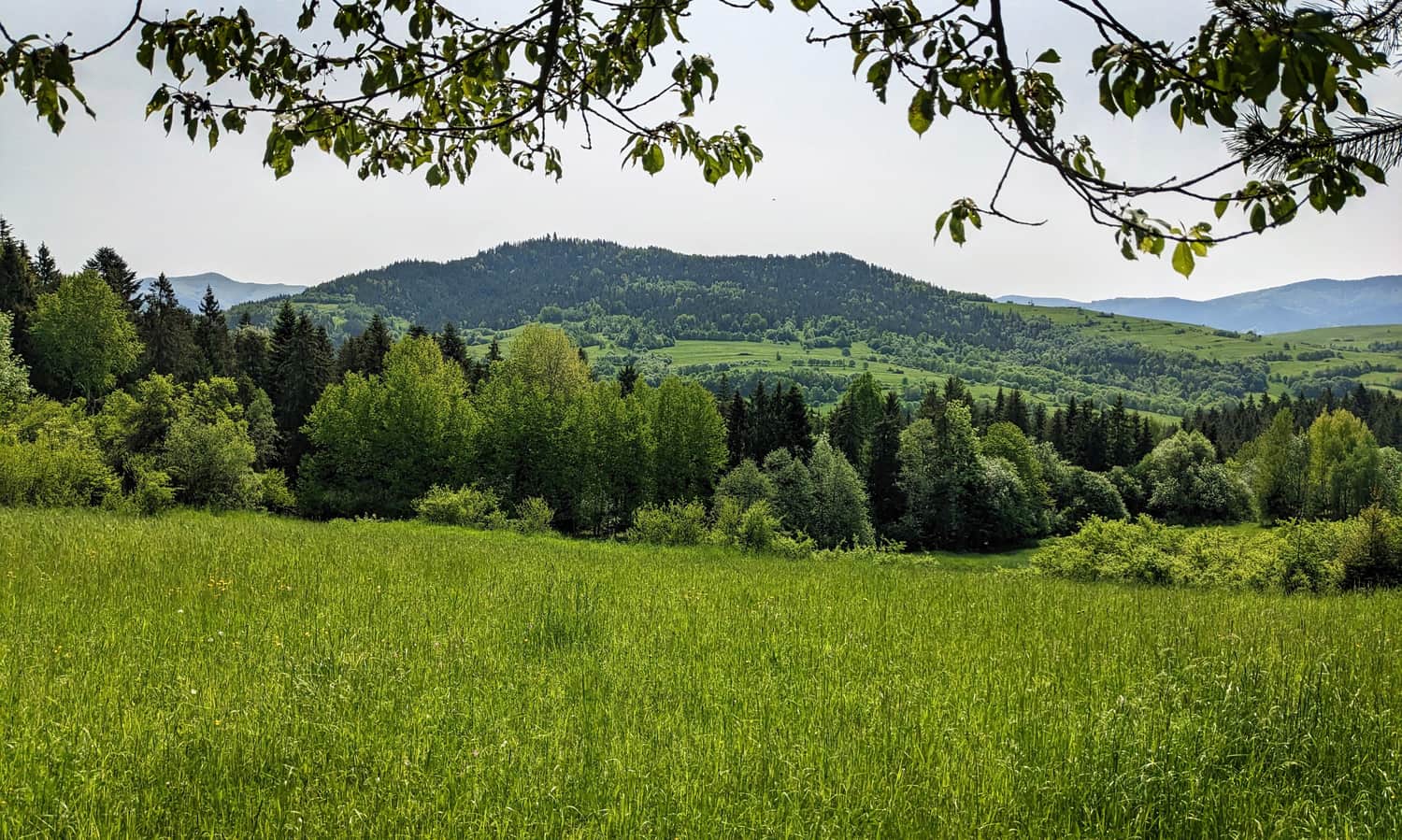
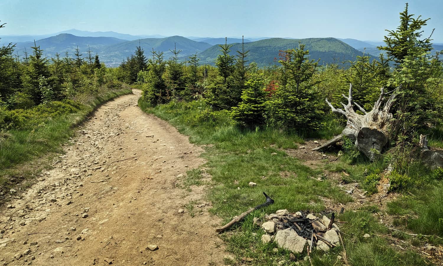
Czarny Dział above Łostówka
Continuing towards Czarny Dział, we walk through the forest and along its edge. On the right, we have a view of Ostra and Ogorzała, the ridges of the Gorce Mountains, and the "kopę" of Mogielica:
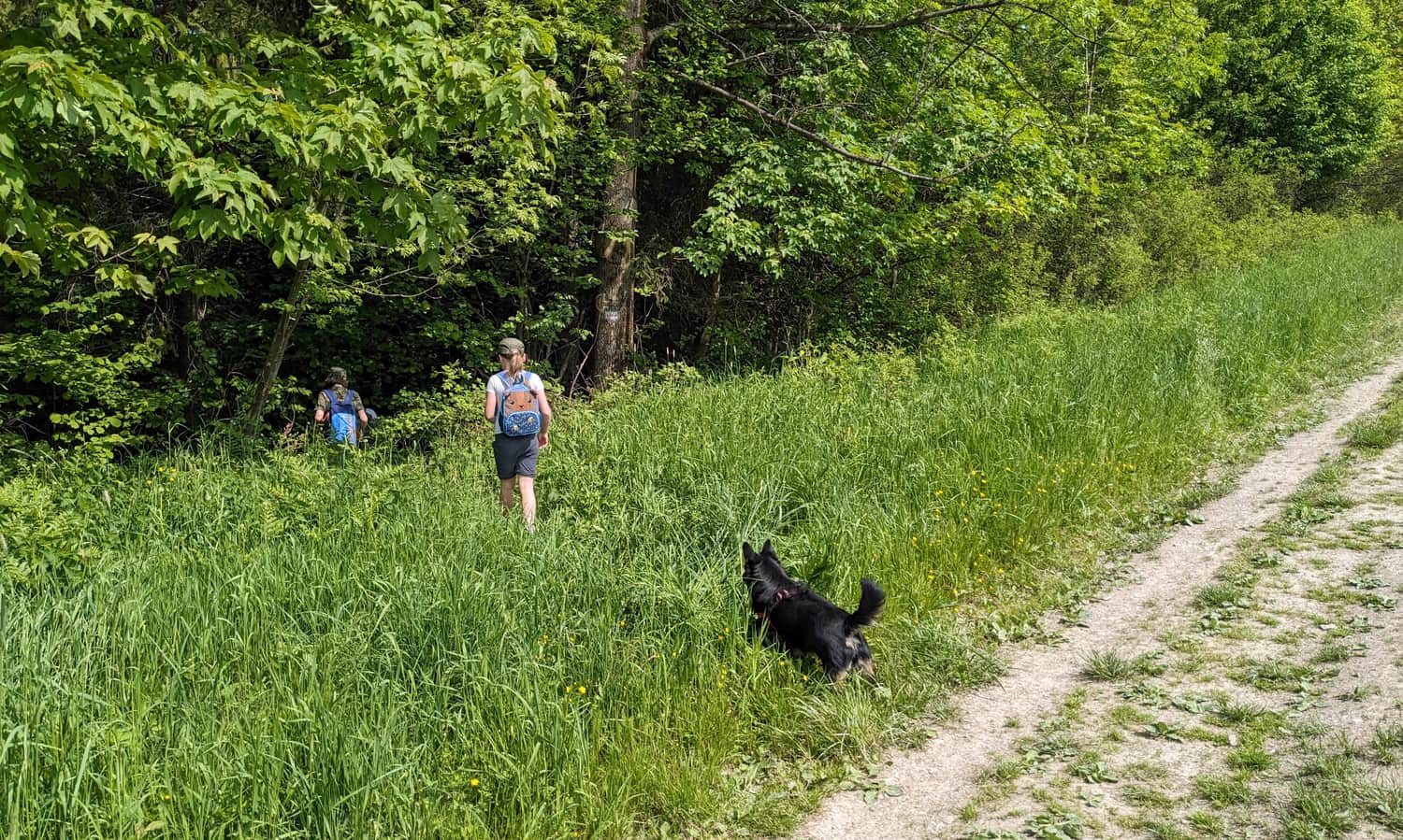
Attention! At some point, the yellow trail turns into the forest and leads along a narrow forest path on its edge, only to return to a dirt road after about 10-15 minutes.
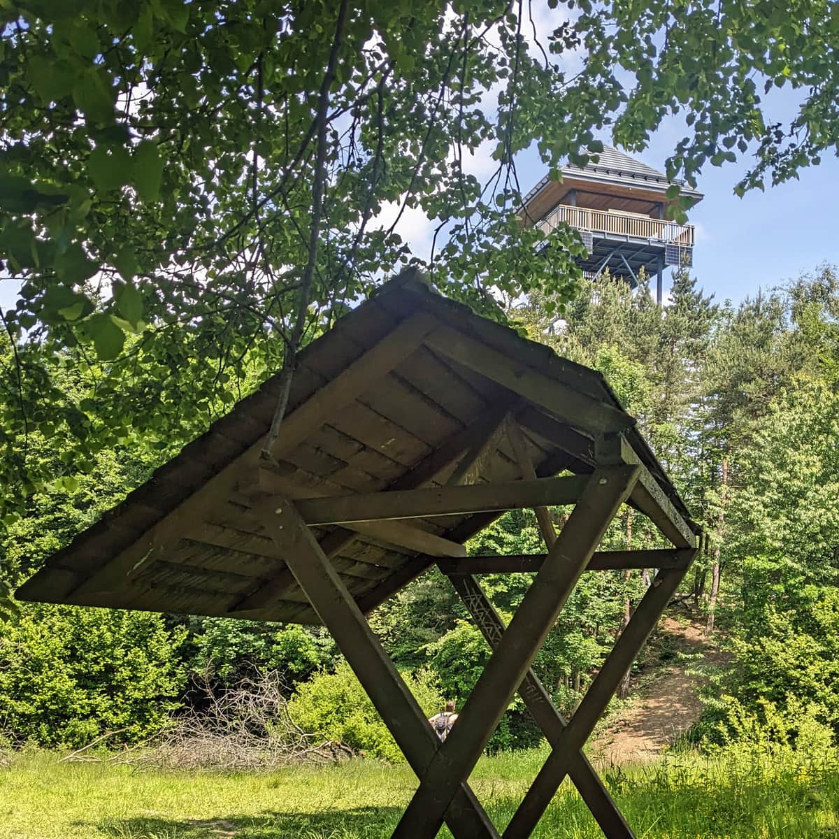
After about 1.5 hours from the start of the trail, we reach the summit of Czarny Dział at an altitude of 673 meters. Here, we will find a bench and a table waiting for us:
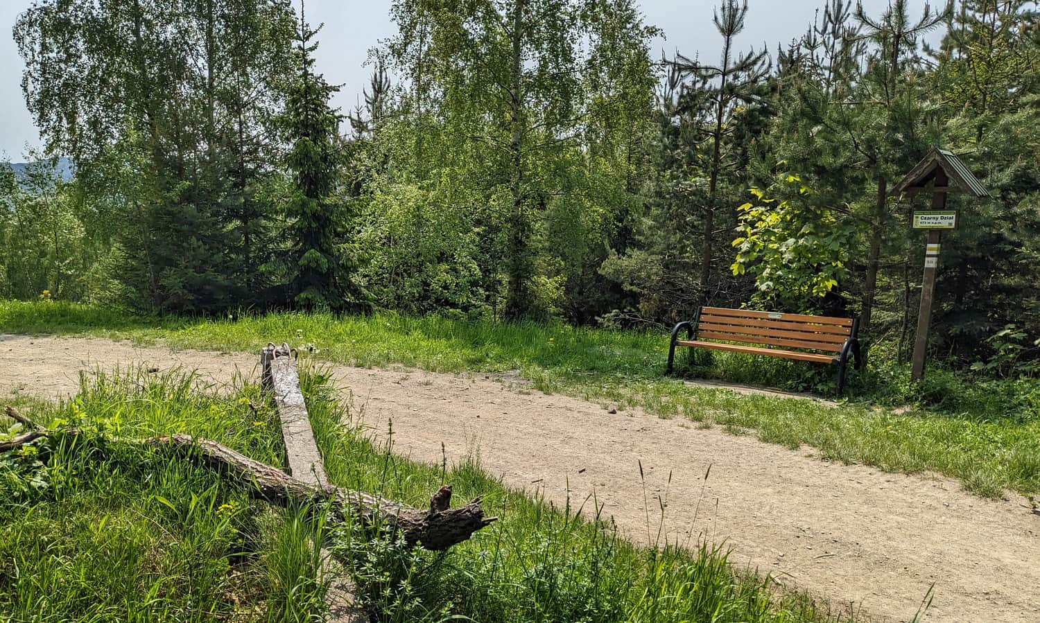
...and a view of our hiking destination: the summit of Ćwilin.
At this point, we are approximately halfway through the journey, but the climb is still ahead of us...
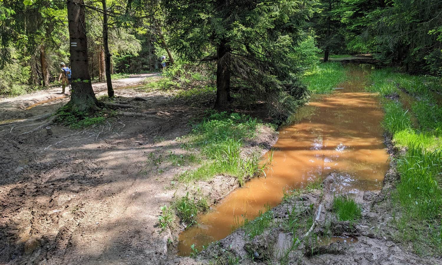
Czarny Dział - Ćwilin
From Czarny Dział, we descend into a vast depression, full of large puddles and mud:
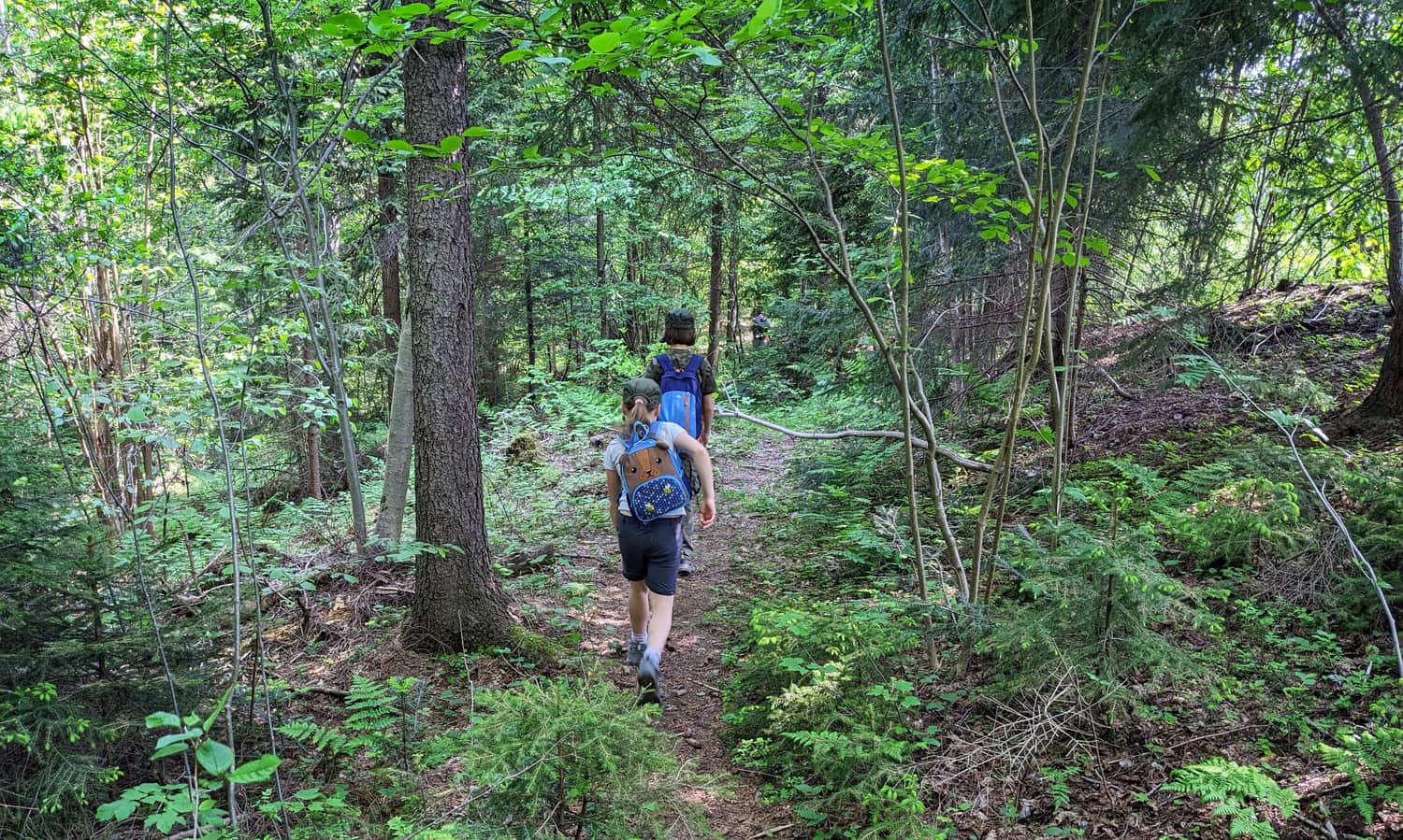
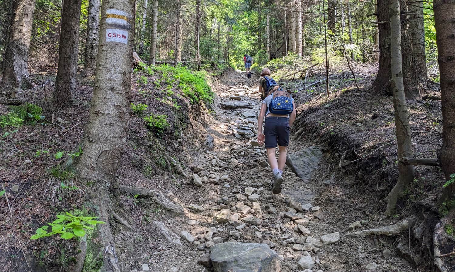
...and then we start the ascent to the summit. This is the most challenging section of the yellow trail. From the pass after Czarny Dział, we have to overcome about 400 meters of elevation difference... We can do it! Fortunately, we climb through dense fir forest.
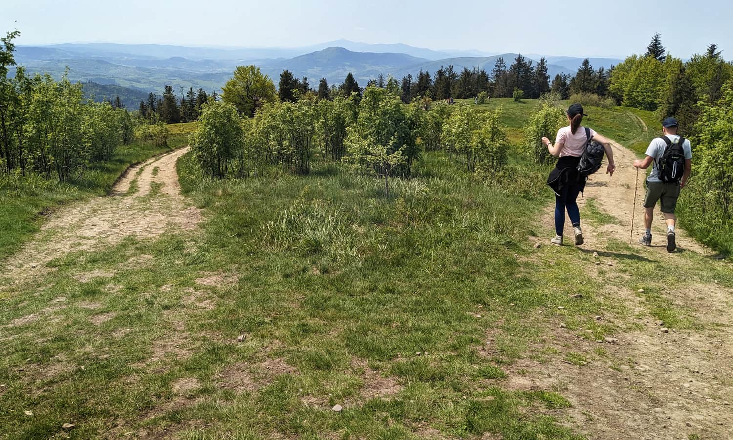
When the forest around us becomes thinner, it's a sign that we are slowly entering overgrown Polana Michurowa. Be sure to look back - behind us, the majestic Babia Góra and the Pilica range have appeared.
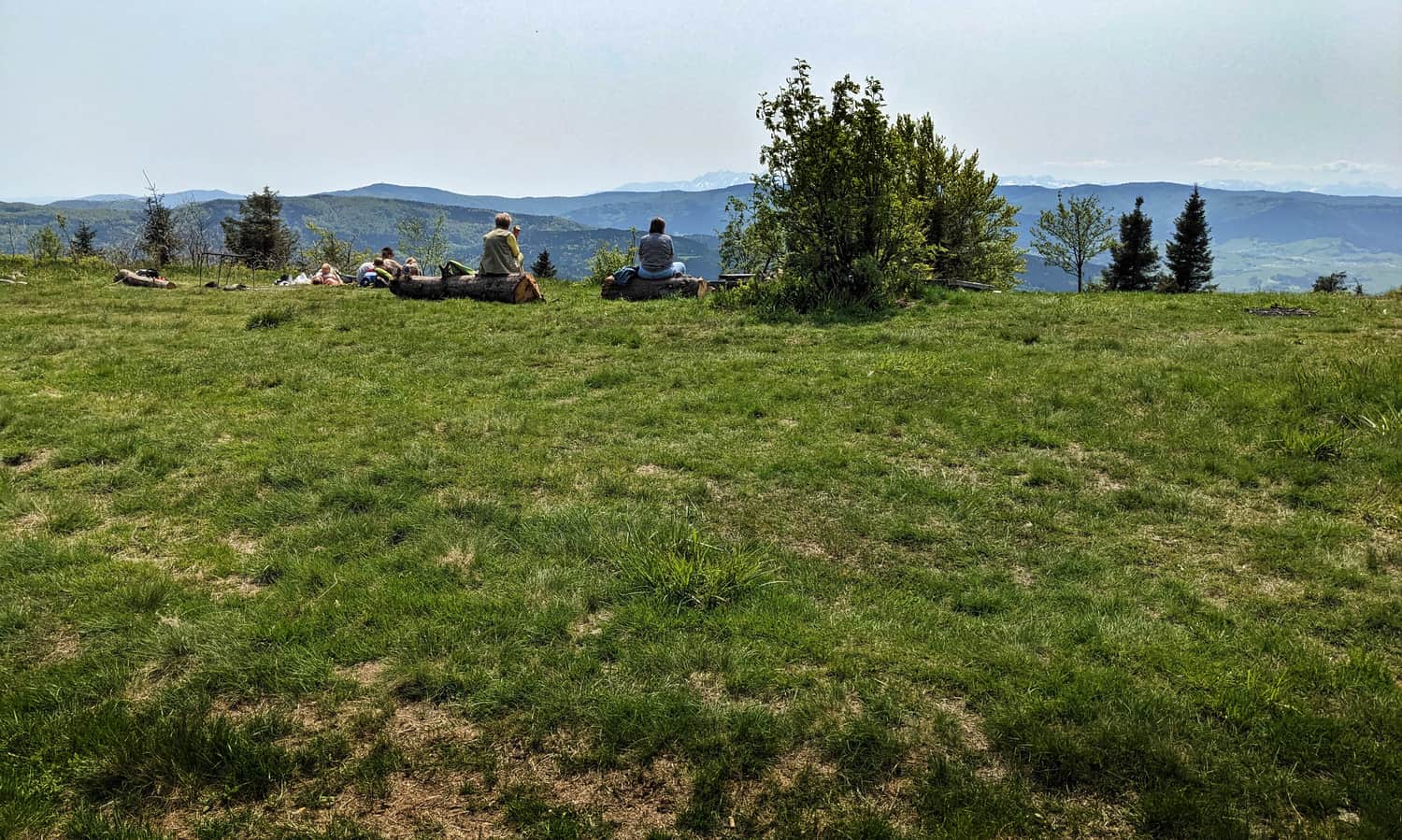
Ćwilin - Polana Michurowa and the summit
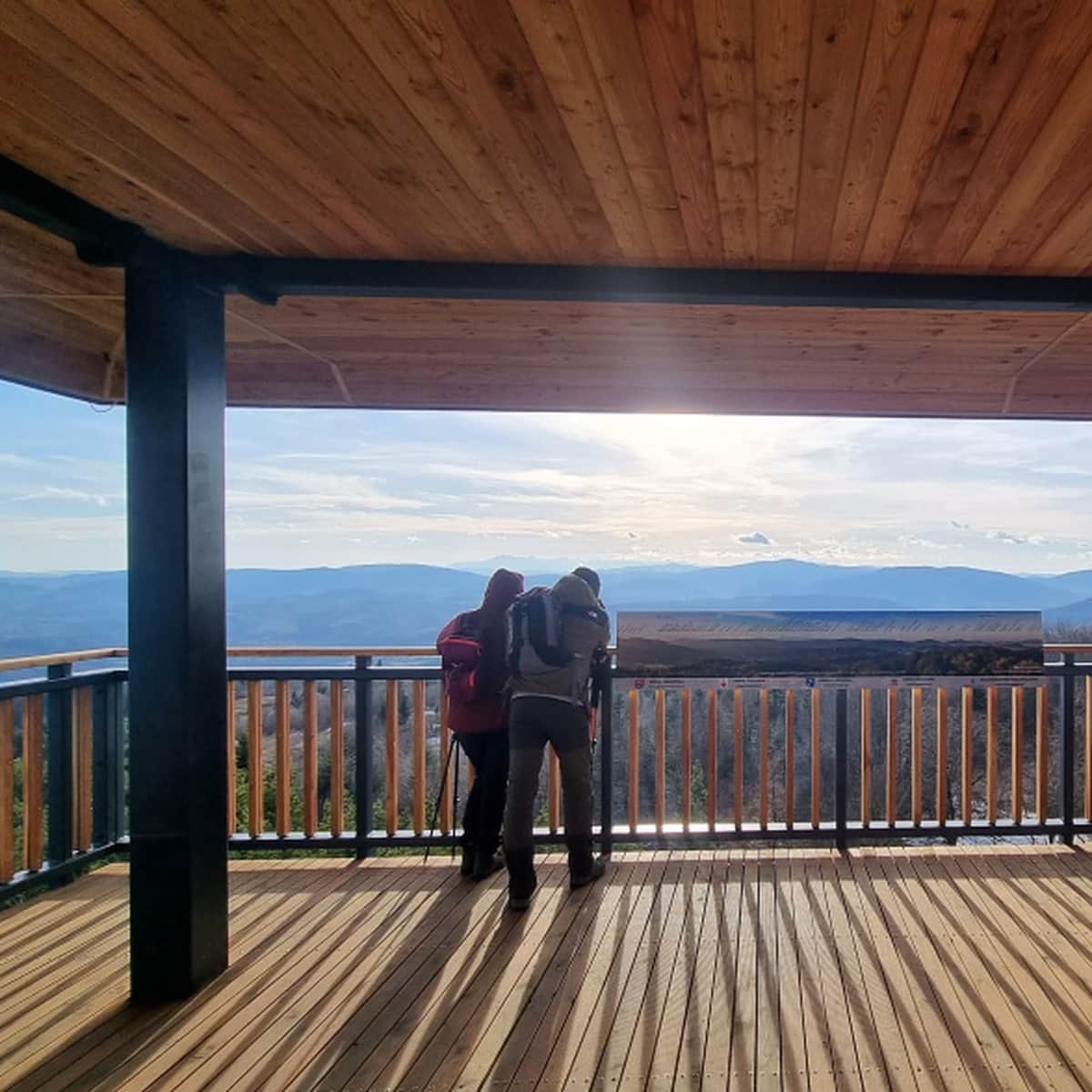
On the vast and incredibly scenic Polana Michurowa at the top of Ćwilin, it's worth stopping for a while. The panorama from here is one of the most beautiful in the Beskid Wyspowy mountains!
On the left, we can see Mogielica, followed by the Beskid Sądecki with Radziejowa, Pieniny with Wysoka, Gorce (including the towers on Luban and Gorc), Turbacz, and behind it, the Tatra range. Babia Góra dominates the west, slightly obscured by Luboń Wielki. Next to it are the ranges of the Beskid Żywiecki and Śląski.
Ps. We consider this route to be one of the top 3 most beautiful scenic trails in the Beskid Wyspowy mountains - discover the others!
Beskid Wyspowy: 3 Most Beautiful Scenic Trails
Beskid Wyspowy is a range of the Beskids located southeast of Krakow, between the valleys of the Raba and Dunajec rivers, from Mszana Dolna to Limanowa. The hills are mostly forested, yet there are plenty of scenic spots and even scenic trails to be found here! ...