Trails and Routes from Zakopane
Tatra National Park is located about 2 km from the center of Zakopane, which means that the nearest trails in the Tatra Mountains are about a half-hour walk away. Which trails are closest to Zakopane?
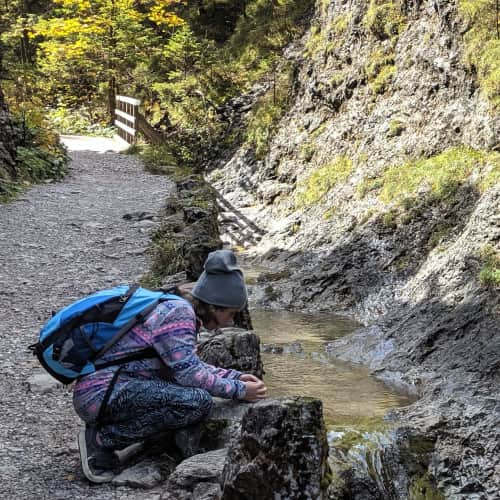
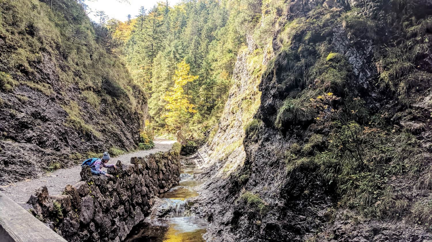
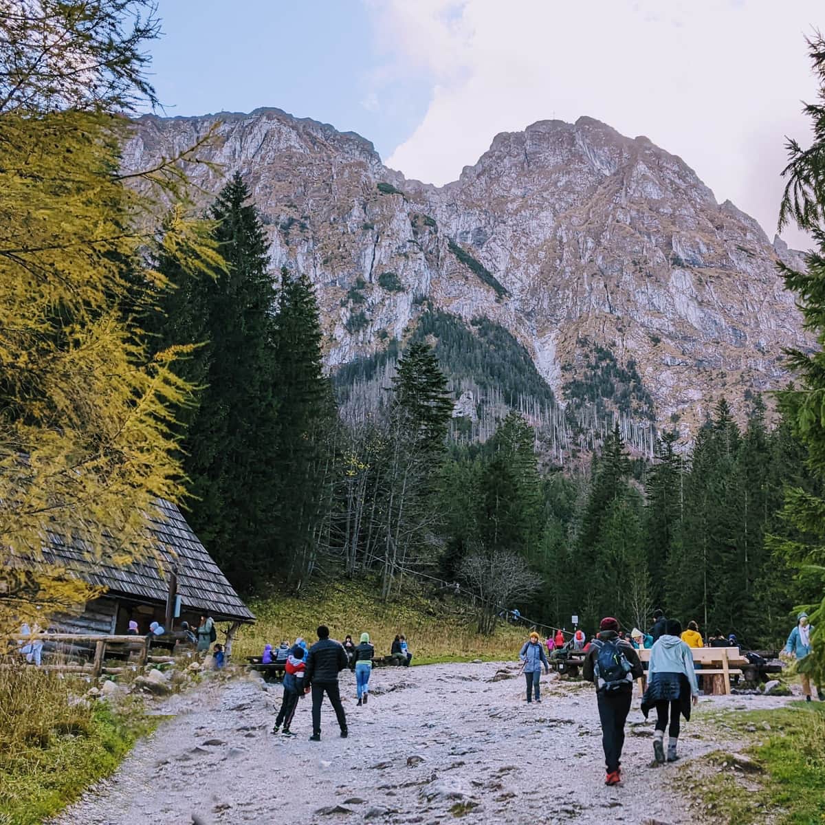
1. Białego Potoku Valley - yellow trail
This is one of the most charming Tatra valleys, located closest to the city - about 2 km and a 30-minute walk from the center. The path through it is not as wide as in the popular Chochołowska Valley - Białego Potoku Valley is a rocky gorge that leads us to a waterfall. Its charm is enhanced by rocky gates, steep slopes, spires, and numerous wooden bridges over the murmuring stream.
Easy
Biały Potok Valley

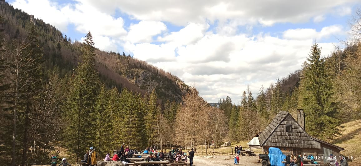
2. Strążyska Valley - red trail
Strążyska Valley is located about 2.5 km from the center of Zakopane and about a 35-minute walk - if you choose to walk, instead of taking the Strążyska street, we definitely recommend the route through Polana Lipki - from the meadow, you can enjoy a view of Giewont and walk away from the hustle and bustle of the city and cars. Strążyska Valley itself is a shaded, fairly flat forest trail that leads us to Polana Strążyska and Siklawica waterfall.
Easy
Strążyska Valley and Siklawica Waterfall - Trail and Attractions

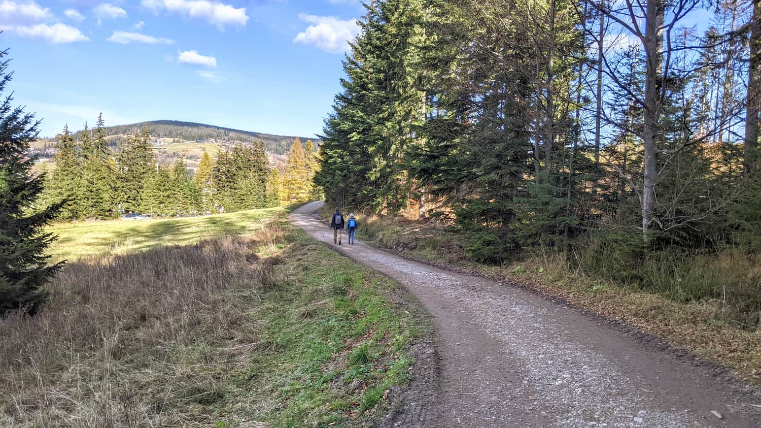
3. Road under the Ridges - black trail
This wide path runs along the edge of the forest and Tatra National Park - it is prepared for bicycles or strollers with inflatable wheels. The path connects the entrances to many Tatra valleys - Dolina Strążyska, Białego Potoku Valley, Dolina Małej Łąki, and Dolina Kościeliska all start from it. From the trail, we have a view of Zakopane and Gubałówka. From the Road under the Ridges, we can turn off near the ski jumps and walk through it to Dolina Kościeliska.
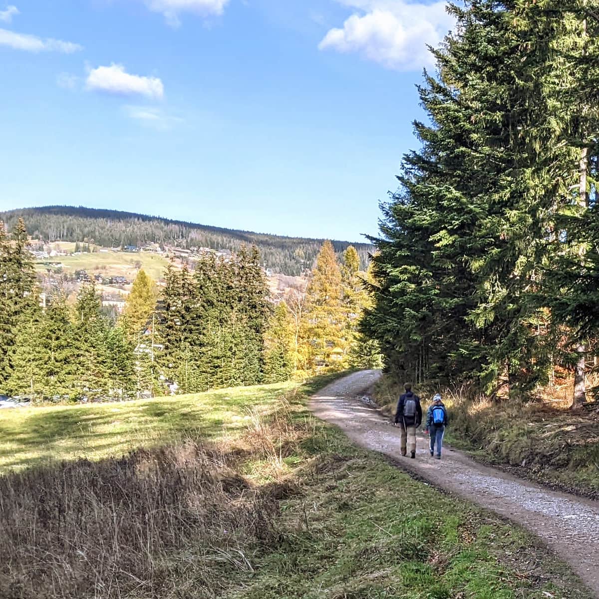
Easy
Road under the Regle

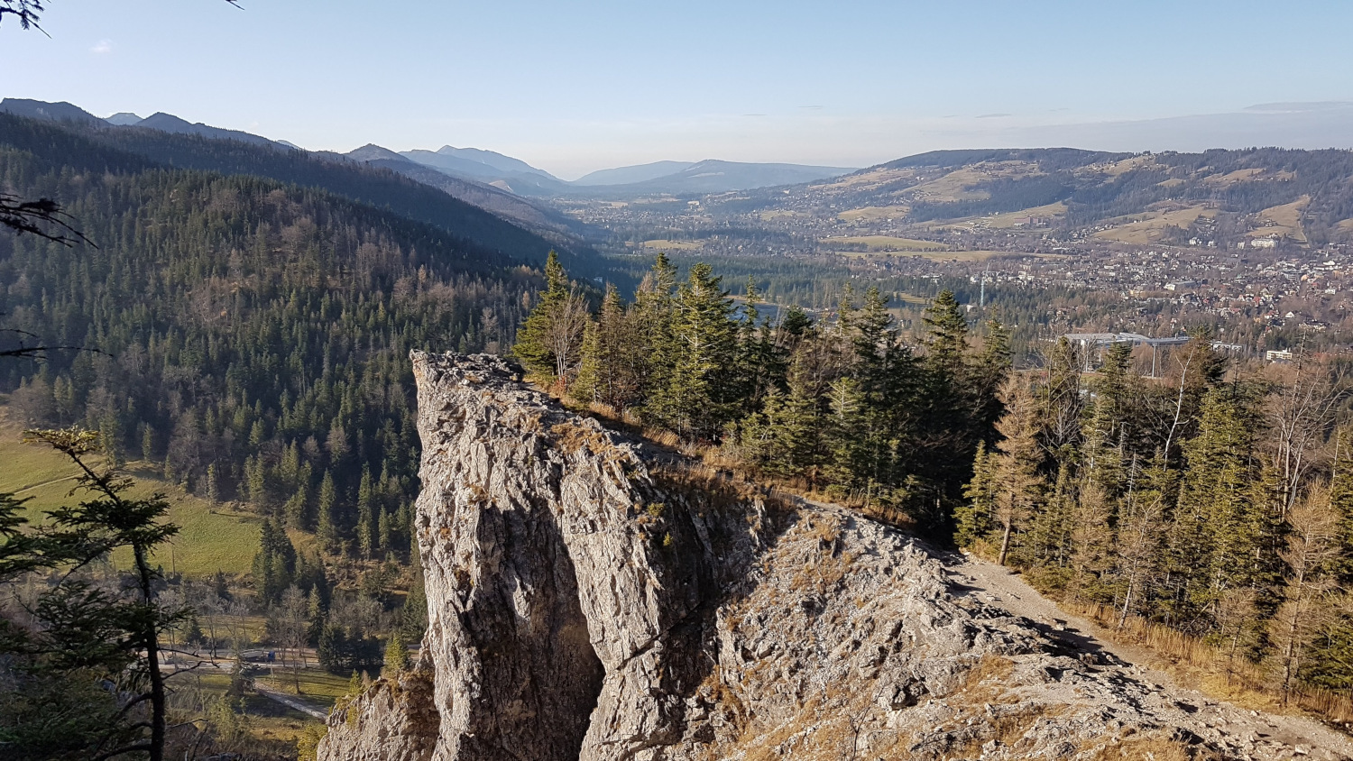
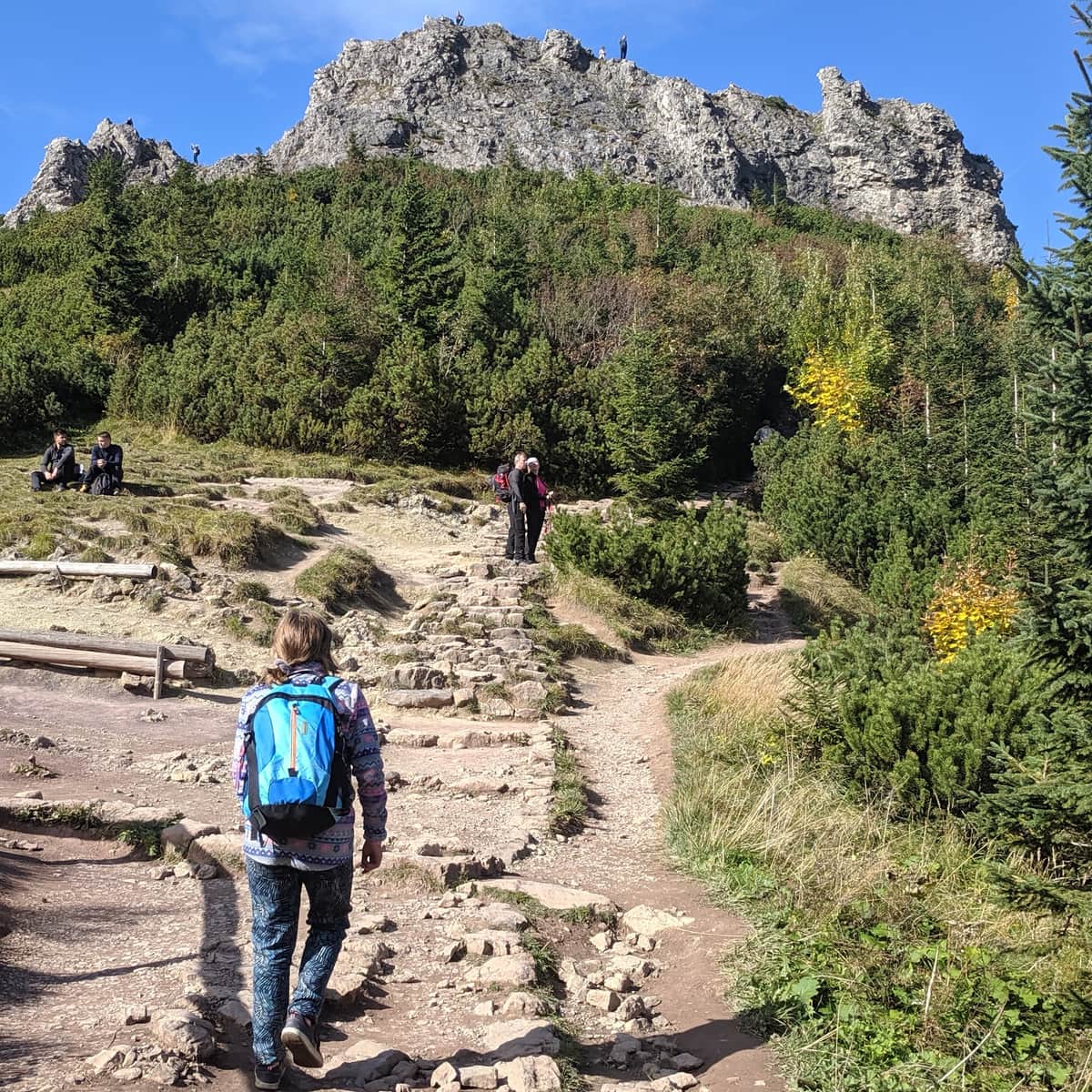
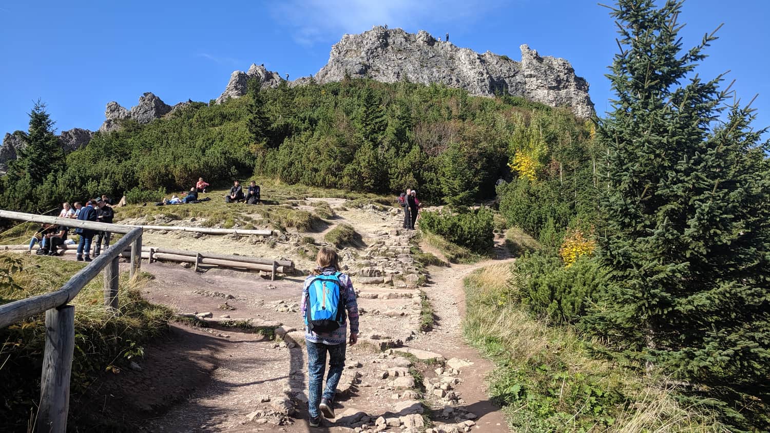
4. Sarnia Skała (Deer Rock)
Sarnia Skała is one of the easiest ascents to the summit in the Tatras, and at the same time, it should be manageable for early school-age children - it will be a real challenge for them! The approach to Sarnia Skała is located at the end of Strążyska Valley and Białego Potoku Valley - we can also make a loop through Sarnia Skała: ascend it through Dolina Białego and descend through Dolina Strążyska.
Medium
From Zakopane to Sarnia Skala Peak

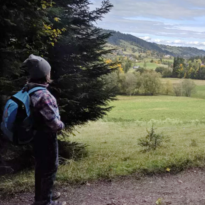
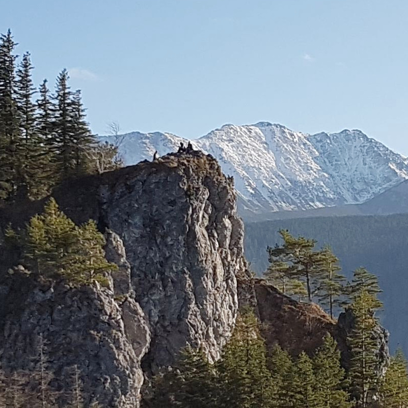
4. Nosal
Nosal is one of the lowest and easiest peaks in the Tatras, and at the same time, it offers beautiful views with a panoramic view, and it is located closest to the center of Zakopane. This makes it a great option for first adventures and serves as an introduction to conquering the Tatras. Nosal is often chosen by families with children.
Medium
Nosal - an easy and scenic peak from Zakopane