check_circle In a room
check_circle Restaurant or bar nearby
check_circle Restroom available
check_circle Baby changing table
Błatnia (917 m above sea level) is not a very prominent mountain, but it has beautiful views. It is in the northern part of the Silesian Beskids in southern Poland. It is easy to reach, has many marked trails, and there is a small mountain hut where you can rest. This makes Błatnia a popular hiking destination.
Błatnia or Błotny?
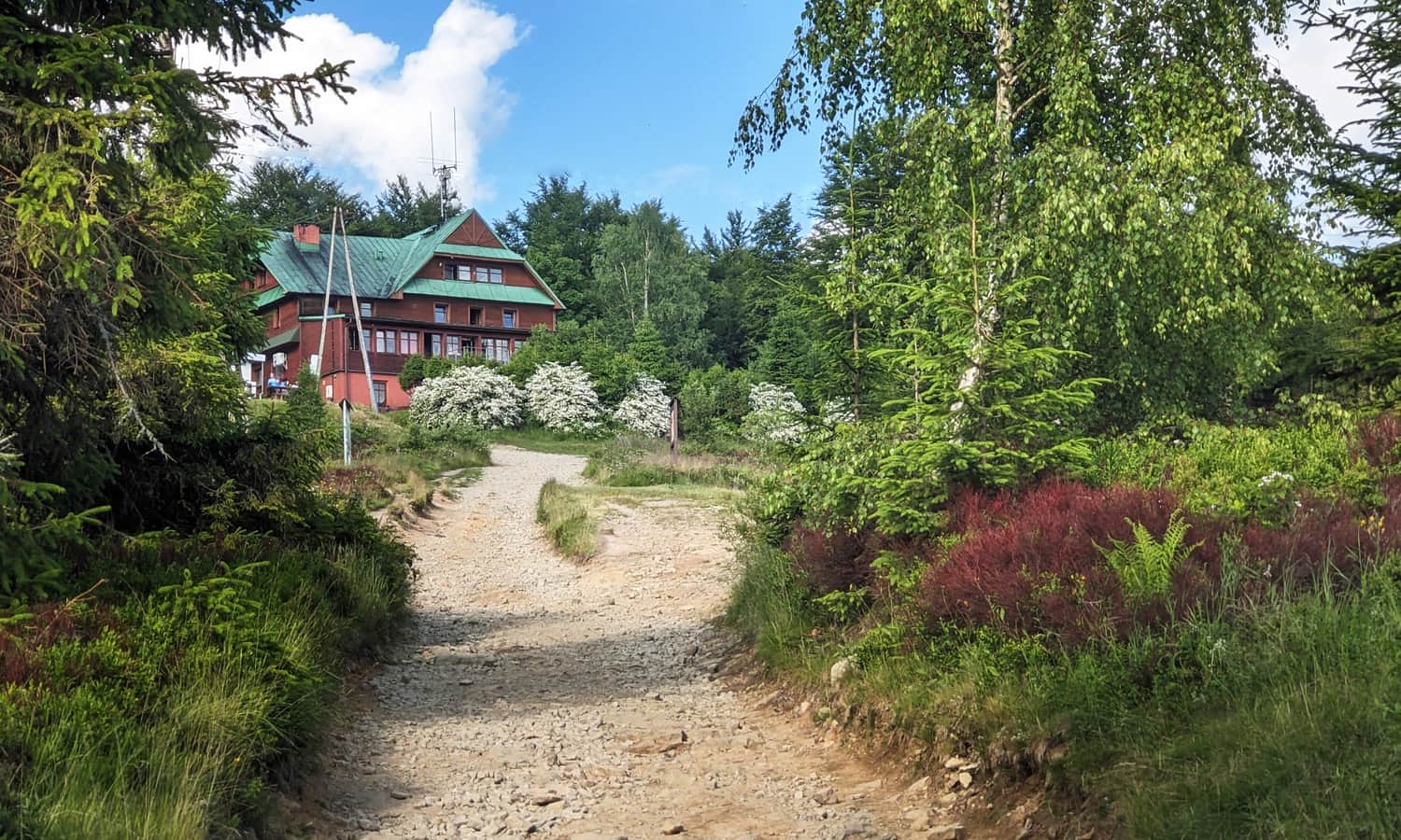
On maps you may see two names for this mountain: Błatnia or Błotny. The name "Błotny" is said to be older and historical. Local people often call the mountain "Błotnio". For now, the name on trail signs, near the mountain hut, and at the summit is "Błatnia".
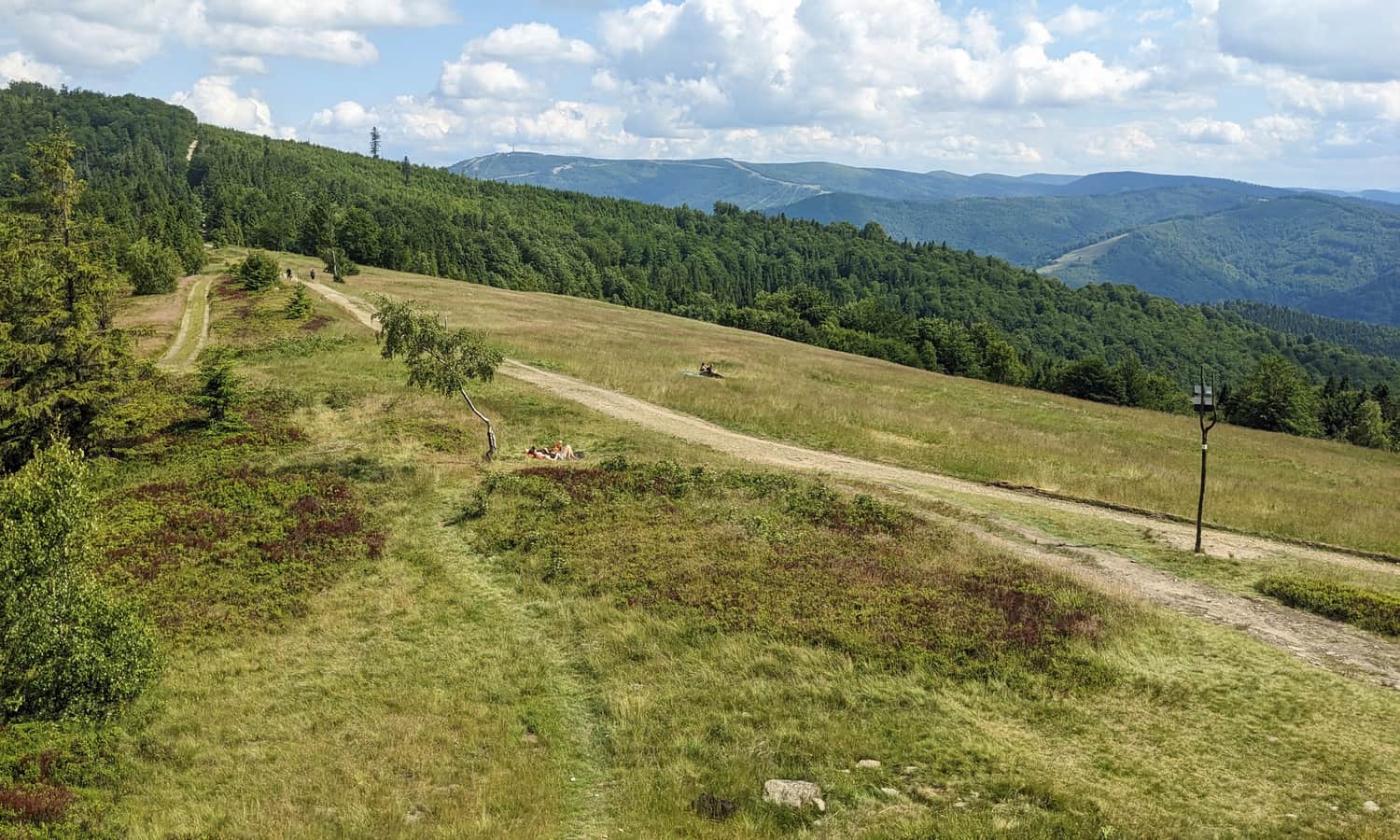
Błatnia, 917 m above sea level - scenic meadows at the summit
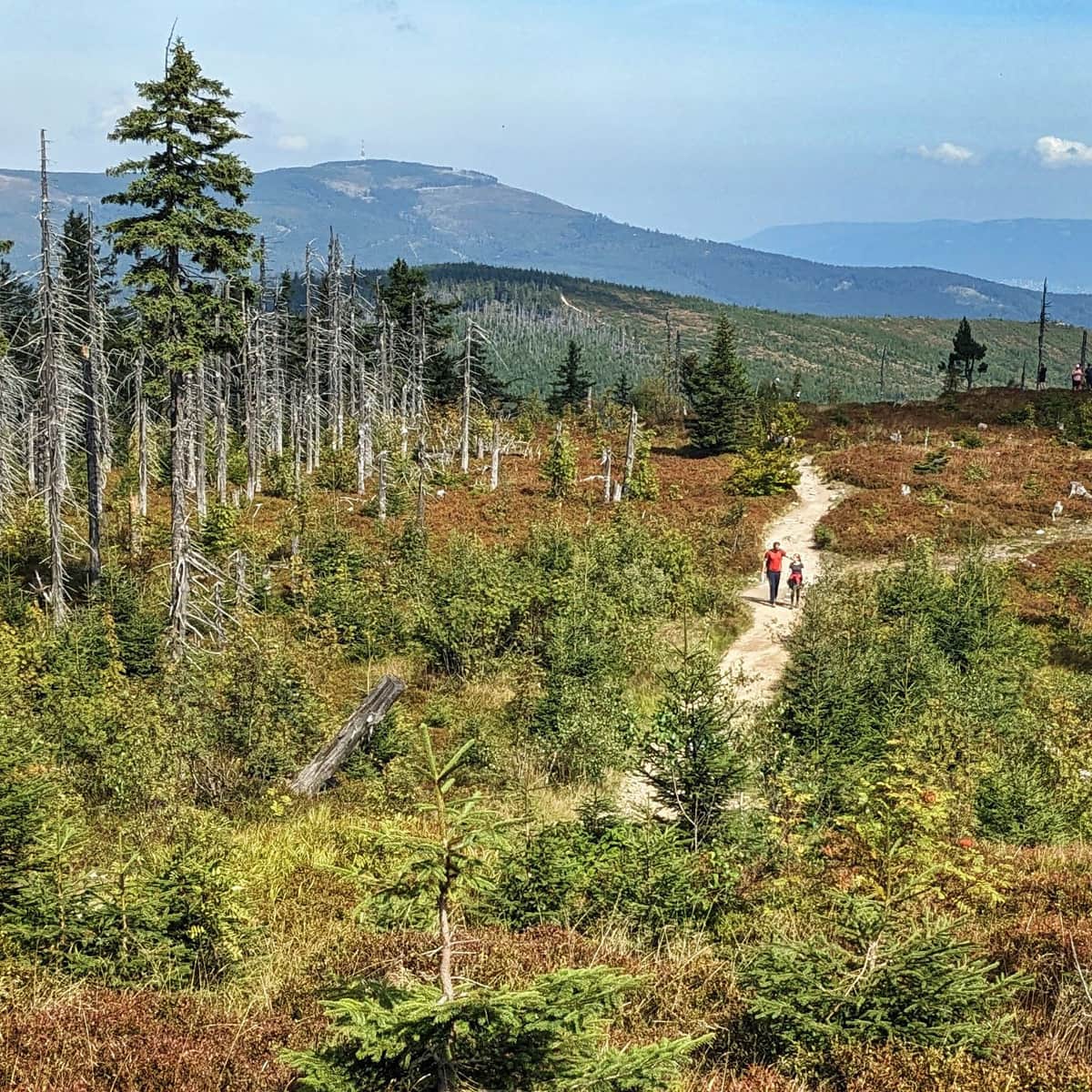
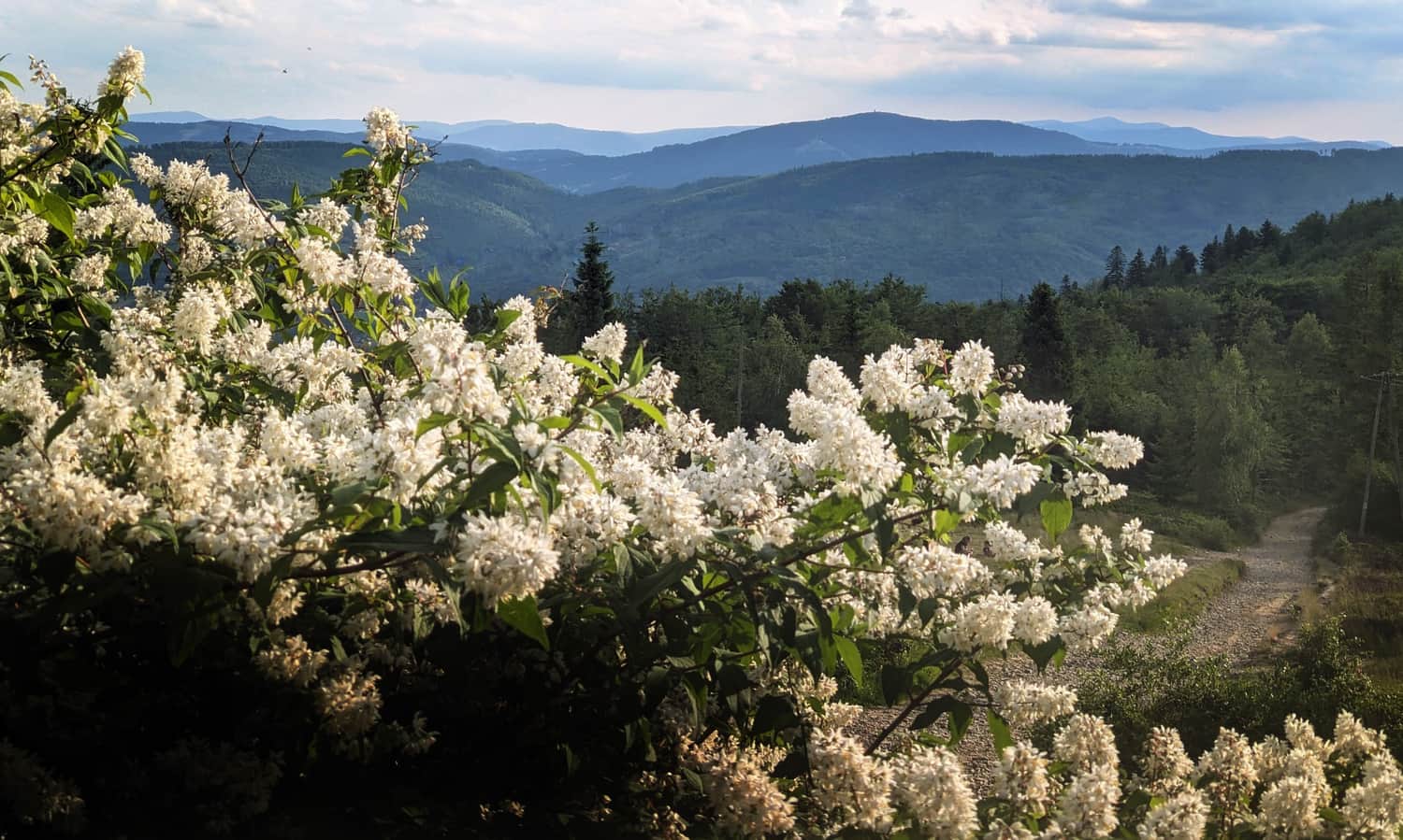
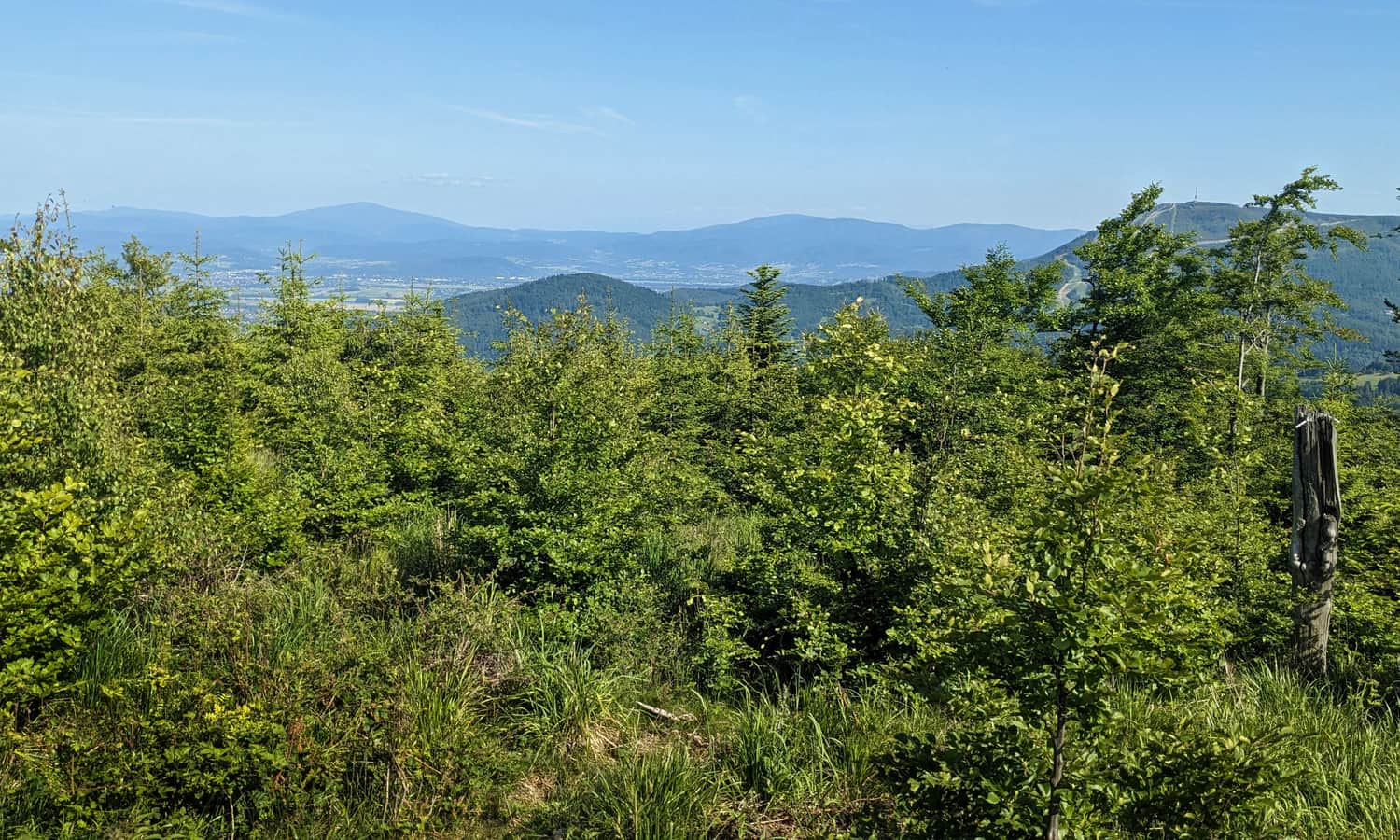
A big advantage of the low Błatnia summit is its wide open meadows with great views. In good weather, you can see not only Skrzyczne, Malinowska Skała, Barania Góra, Stożek, Czantoria, and Równica. You can also see more distant mountains, such as Wielka Racza in the Żywiec Beskids, Slovak peaks such as Veľký Kriváň and Veľká Lúka in the Little Fatra range, and Czech peaks in the Silesian-Moravian Beskids.
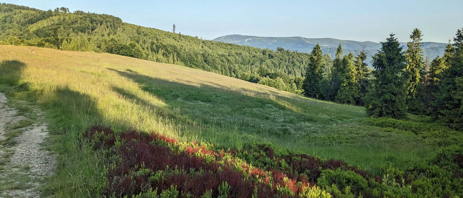
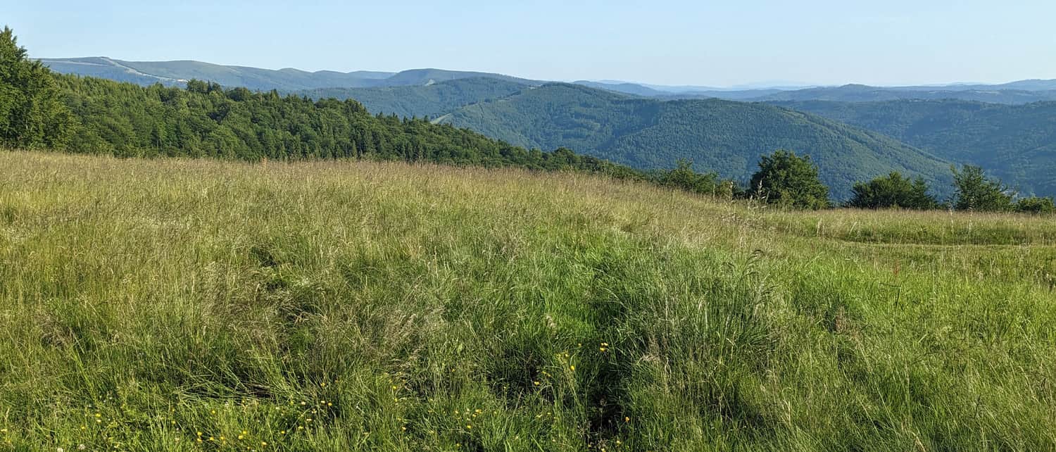
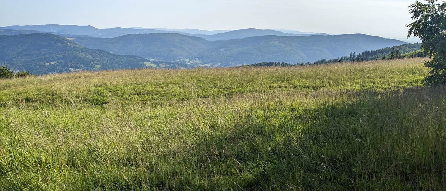
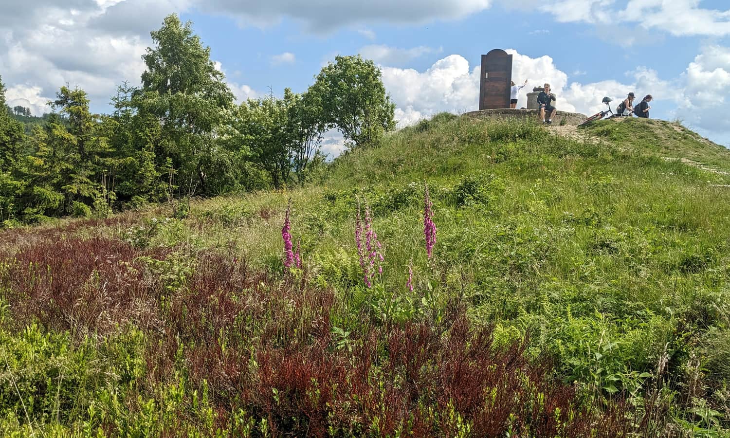
Another attraction on Błatnia is a large wooden throne where you can take photos. However, a picnic on the meadow will probably be more comfortable and just as nice for photos.
PTTK Mountain Hut on Błatnia
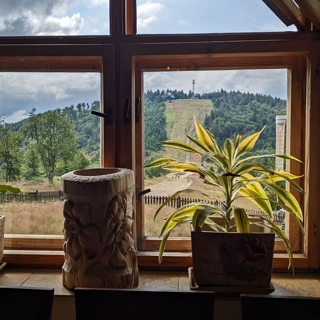
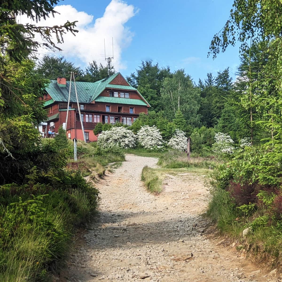
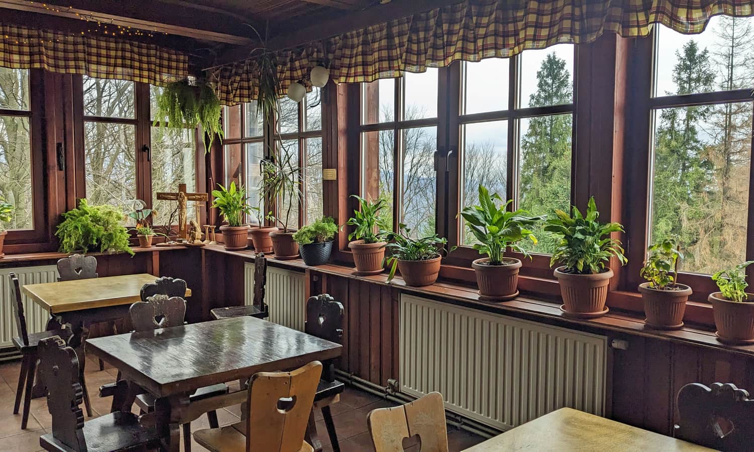
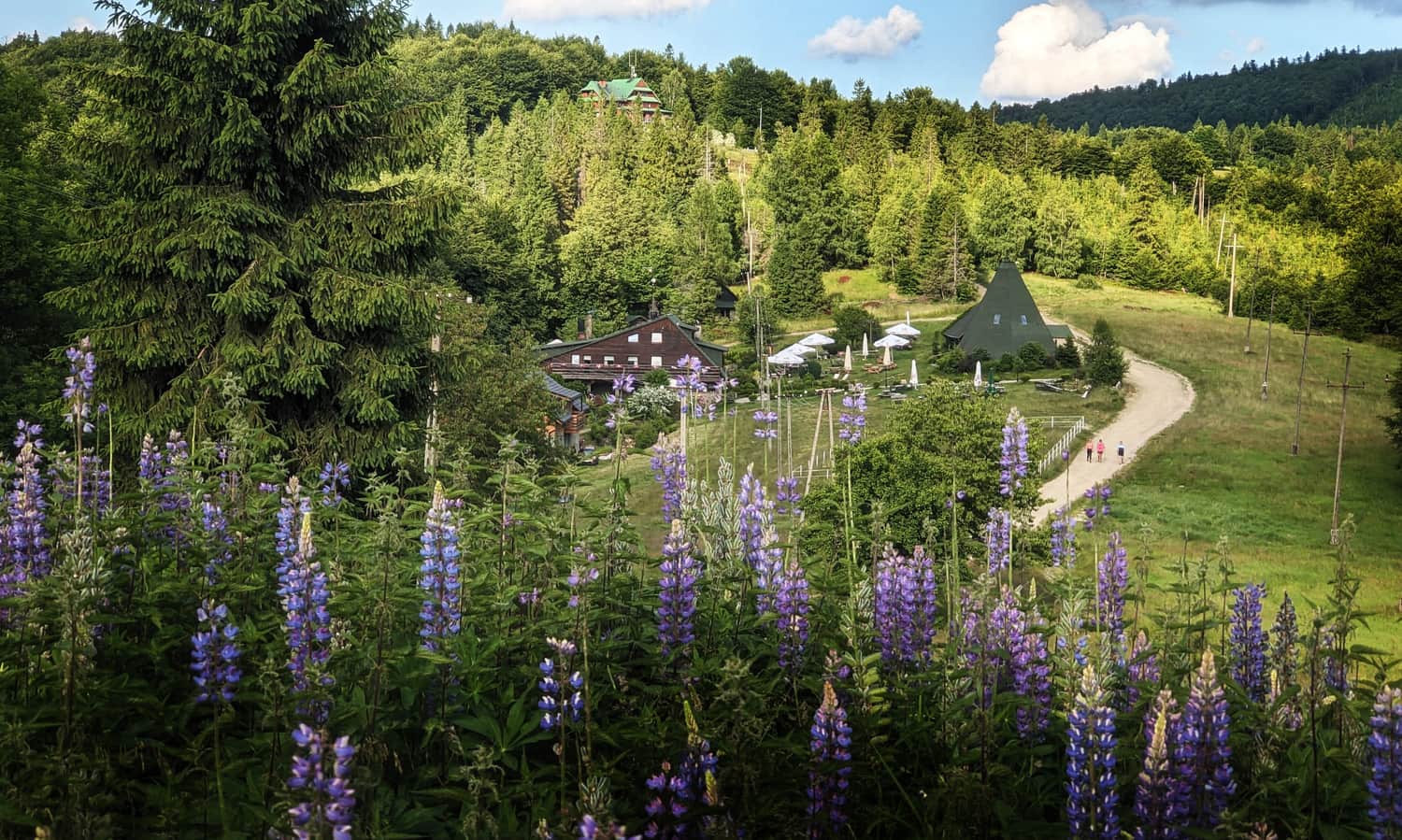
About 200 m from the summit of Błatnia there is a small but charming PTTK mountain hut. PTTK is the Polish Tourist and Sightseeing Society. The first tourist base in this place was built almost 100 years ago. Today you can rest here, eat something, buy souvenirs, and stay overnight. It is better to book accommodation in advance. In the toilet there is a baby changing table.
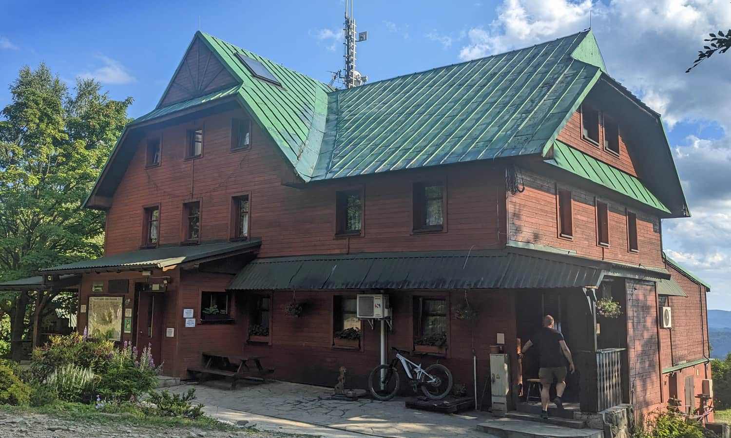
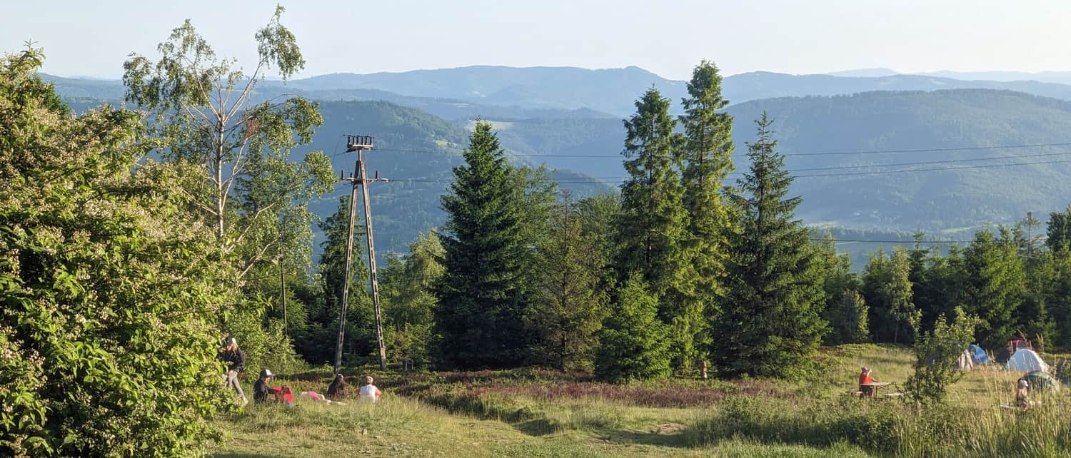
Although the mountain hut is below the summit, there is also a scenic meadow here. It has views to the south-west, many benches and tables, and space for a picnic blanket.
How to get to Błatnia?
How can you reach Błatnia, both the summit with its scenic meadows and the PTTK Mountain Hut?
The easiest trail to Błatnia
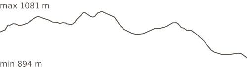
The easiest route to Błatnia is not the shortest one. It starts at the upper station of the gondola lift to Szyndzielnia. After taking the gondola up, you do not really climb to Błatnia. You mostly go down. There are only short uphill sections before the summits of Trzy Kopce and Stołów. In total, there is only about 200 m of ascent.
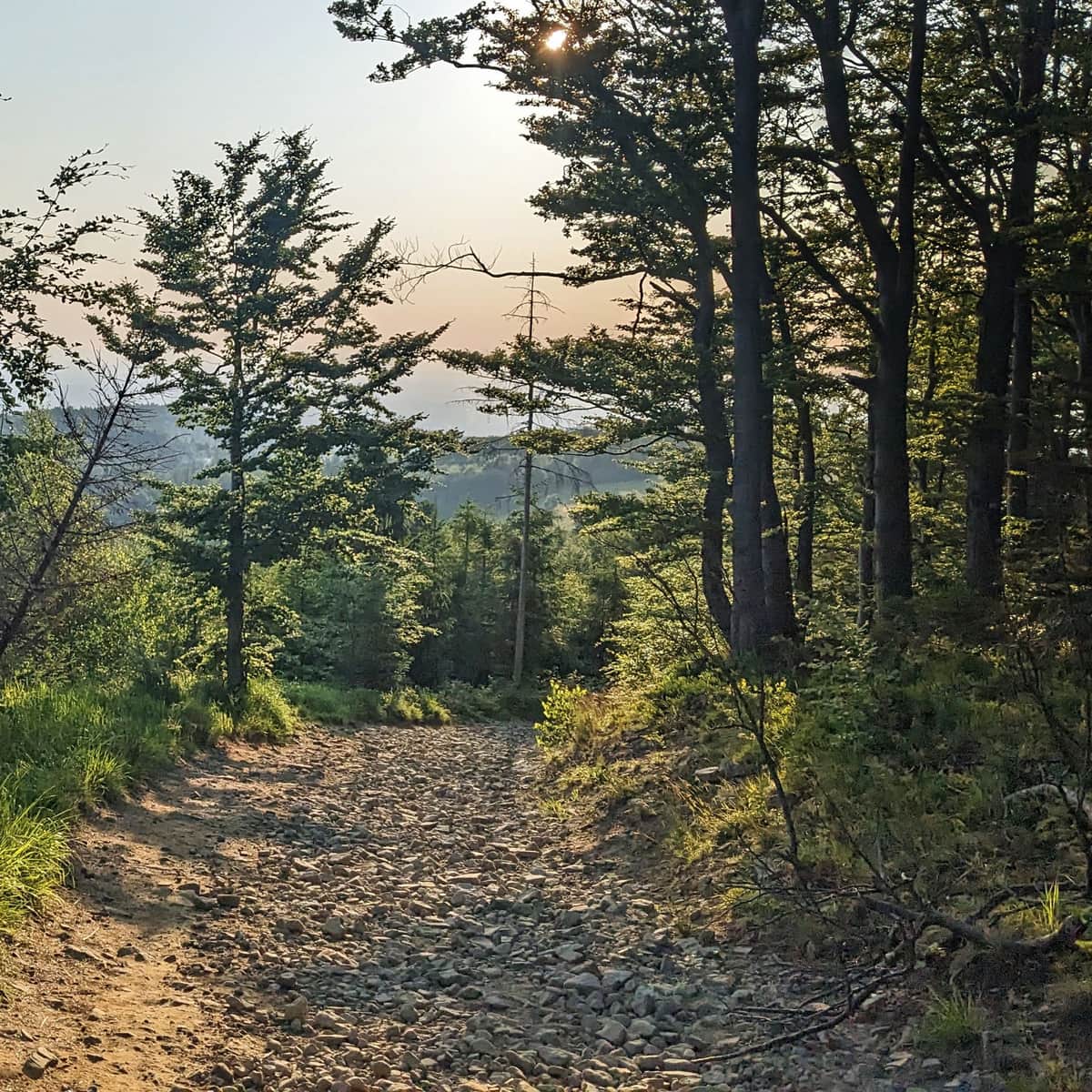
Medium
From Szyndzielnia to Błatnia
The shortest trail to Błatnia
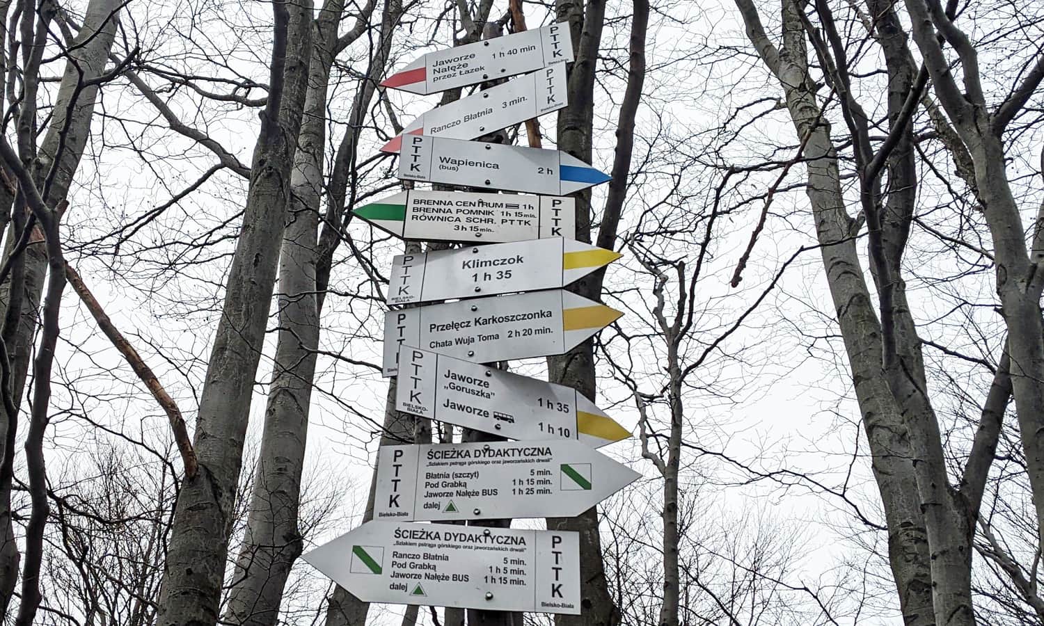
The shortest route to the summit of Błatnia follows the yellow trail from the car park on Turystyczna Street in Jaworze. The nearest bus stop is Jaworze Górne. The route is only 4 km long, with 440 m of ascent. One way takes about 1 hour 45 minutes.
To Błatnia from Wapienica Valley
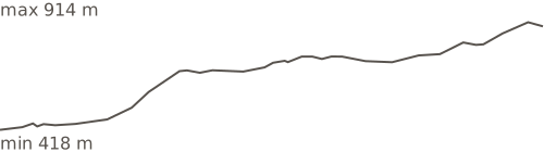
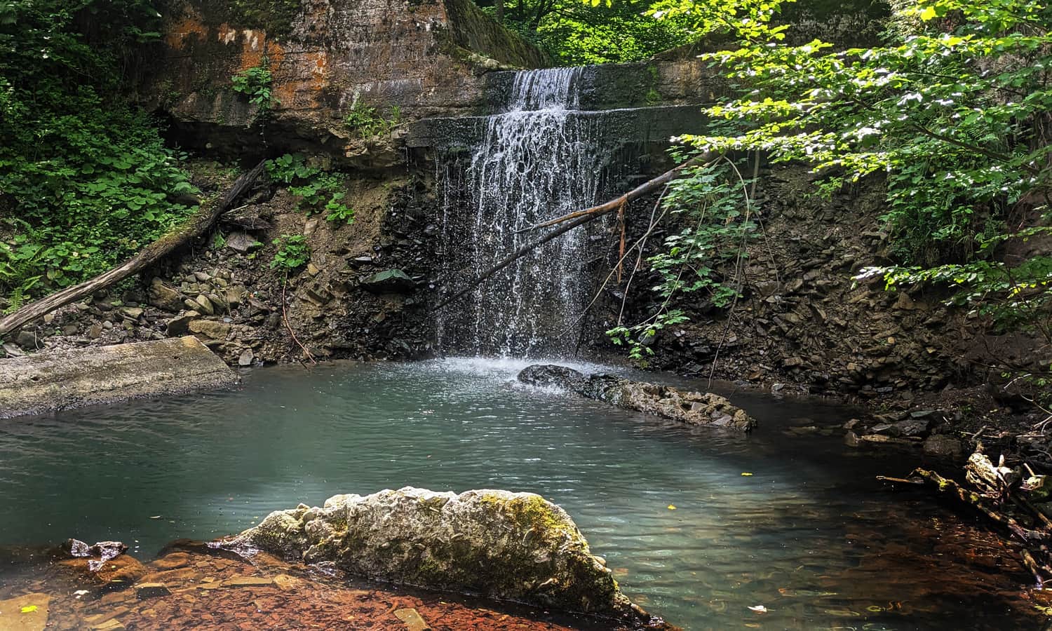
From Wapienica, a district of Bielsko-Biała, you can hike to Błatnia through the summits of Palenica and Wysokie. On the way you will pass a pretty valley with a waterfall on the Wapieniczanka stream, the Wielka Łąka reservoir, mysterious stone circles and burial mounds, and a "forest church".
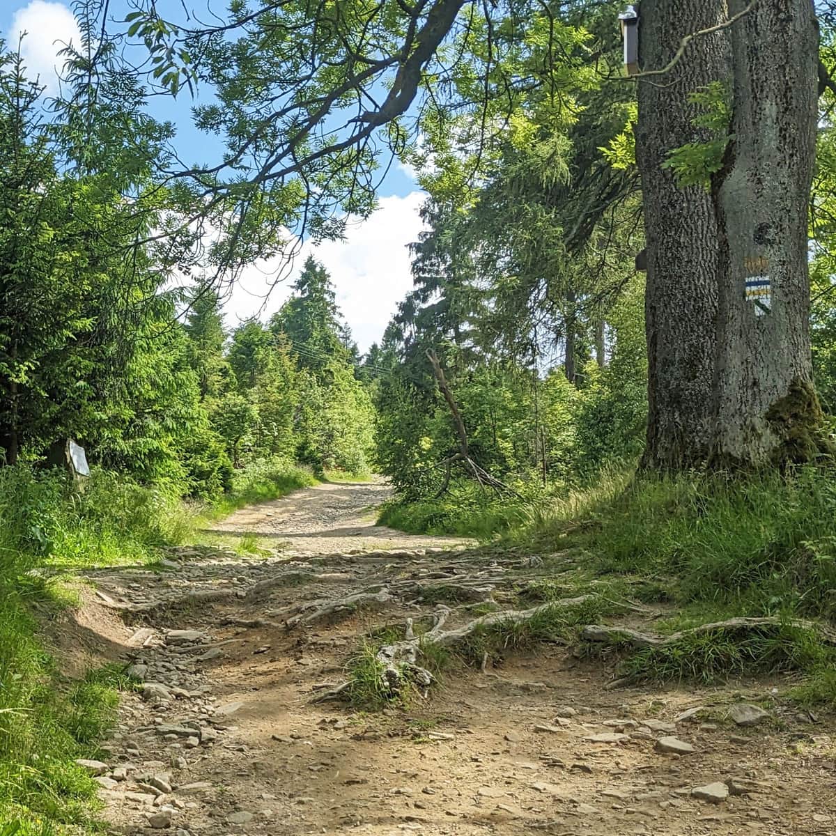
Medium
Blue trail from Wapienica Valley to Błatnia
Other trails to Błatnia
- From Brenna by the green trail, or by the black trail and then the green trail: 5 km, 500 m of ascent - about 2 hours one way.
- Educational trail from the Jaworze Nałęże bus stop or car park: 4.5 km, 460 m of ascent - about 2 hours one way.
- From the centre of Szczyrk: first follow the yellow trail to Chata Wuja Toma, then take the Way of St. James to the yellow trail: 8 km, 675 m of ascent - about 3 hours one way.
- From Górki Wielkie by the green and red trails: 9 km, 675 m of ascent - about 3.5 hours one way.
- Yellow trail from the car park on Tartaczna Street in Wapienica, through Szyndzielnia and Klimczok: 12 km, 770 m of ascent - about 4 hours one way.
Błatnia - things to see at the summit
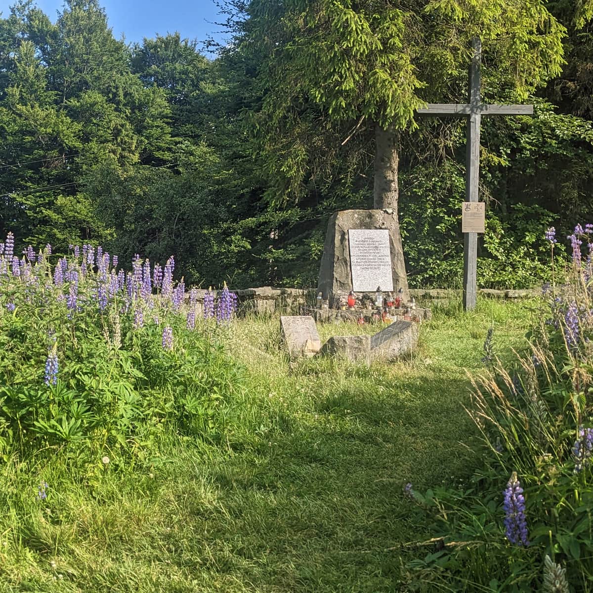
Besides the views and a rest at the mountain hut, you can also walk to Ranczo Błatnia. It offers accommodation, food, and a small playground. You can also visit the nearby summit of Wielka Cisowa, which has an interesting World War II partisan history. It is about 10 minutes from the PTTK Błatnia Mountain Hut.
Wielka Cisowa
Wielka Cisowa (878 m above sea level) is a pleasant mountain in the Silesian Beskids in southern Poland. It is not very prominent, but it is worth visiting. It is close to Błatnia, a more popular mountain with good views. How can you get there, and what can you see on the summit? ...

More in the Region Beskid Śląski (Silesian Beskid)