
From Szyndzielnia to Błatnia
Nearby: Bielsko-Biała| Distance | 6.3km |
|---|---|
| Time | 2h 5min |
| Ascents | 208m |
| Descents | 312m |
beach_access Route in the shade
restaurant Restaurant or bar nearby
directions_bus Access by public transport
wc Toilet along the route
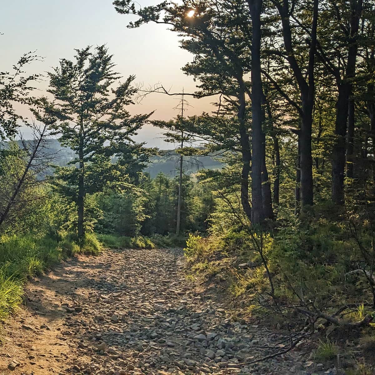
The trail between the shelters at Szyndzielnia and Błatnia is an easy and attractive route in the Silesian Beskids. A wide, comfortable path takes you through the forest and scenic meadows without major terrain difficulties.
Błatnia from the Szyndzielnia Shelter
To go to Błatnia from Szyndzielnia, you first need to reach Szyndzielnia itself. You can choose from several hiking trails or take a convenient gondola lift. Remember, the PTTK Shelter at Szyndzielnia is not just a place to stay and eat, but also a viewpoint - it's worth stopping here for a while.

Szyndzielnia - Shelter, Views, and Trails to the Peak
Szyndzielnia (1028 meters above sea level) is a peak in the Silesian Beskids, known for being unique in many ways. What should tourists know about it, what attractions await, and which trail should they choose to get there? ...
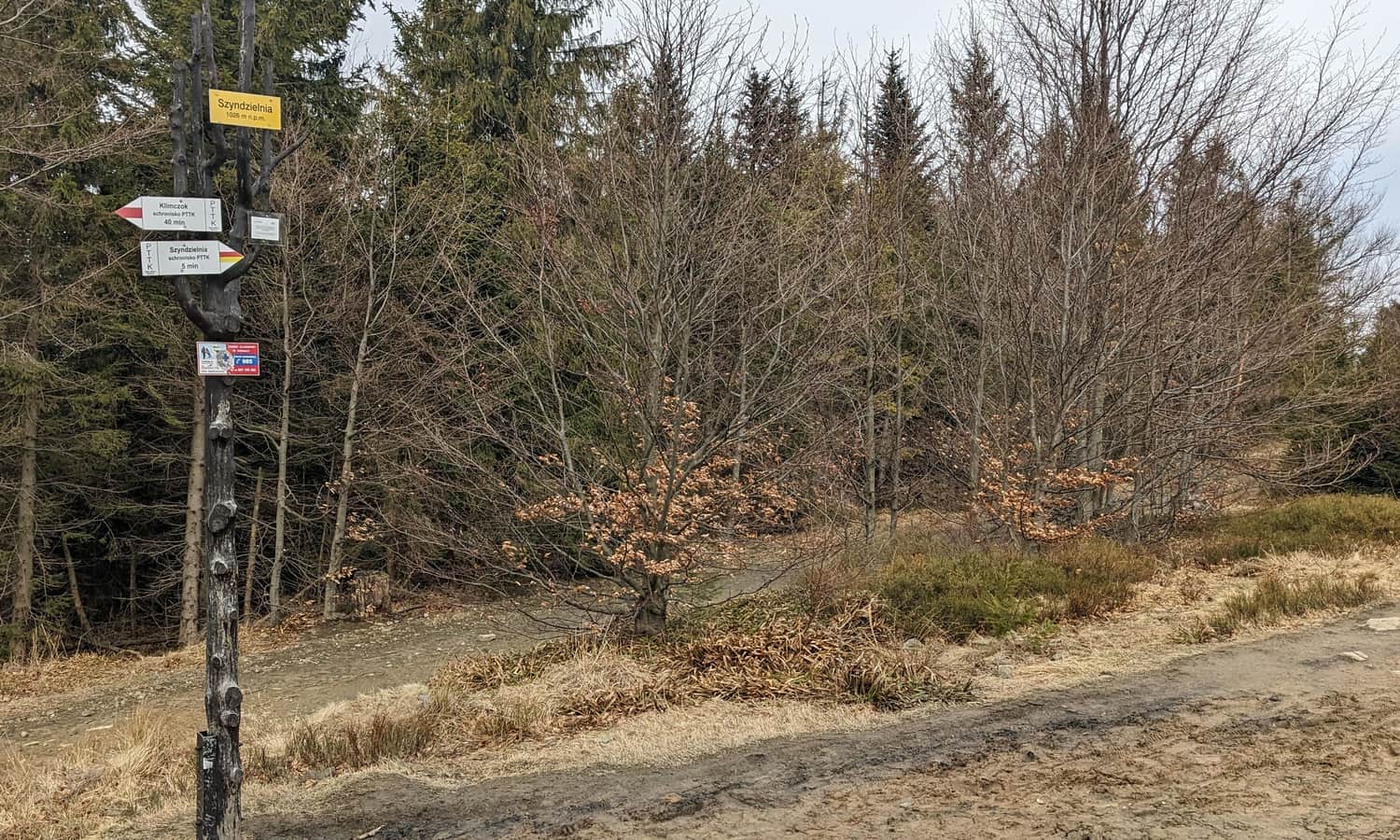
Szyndzielnia Peak, 1028 meters above sea level, and the Trail to Błatnia
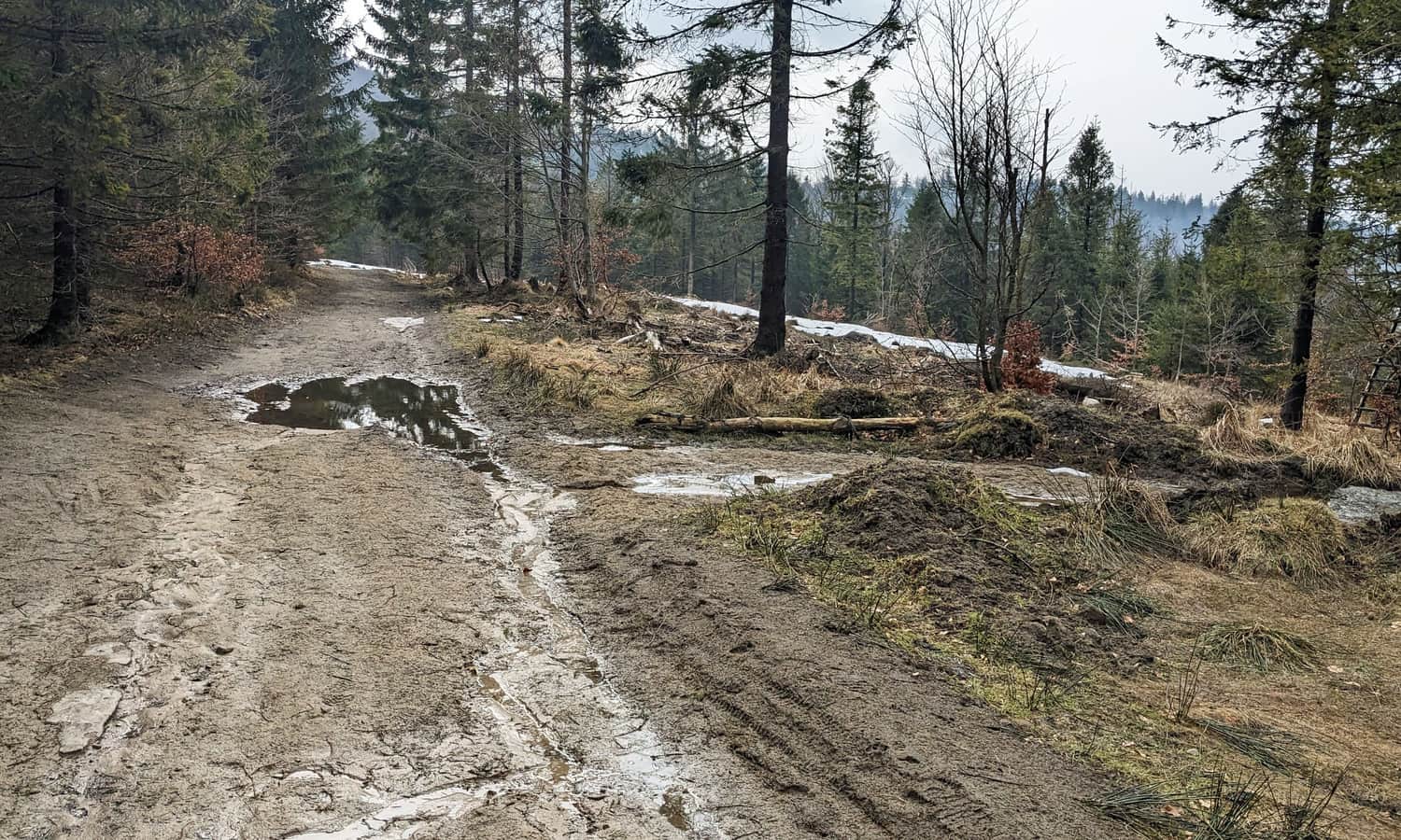
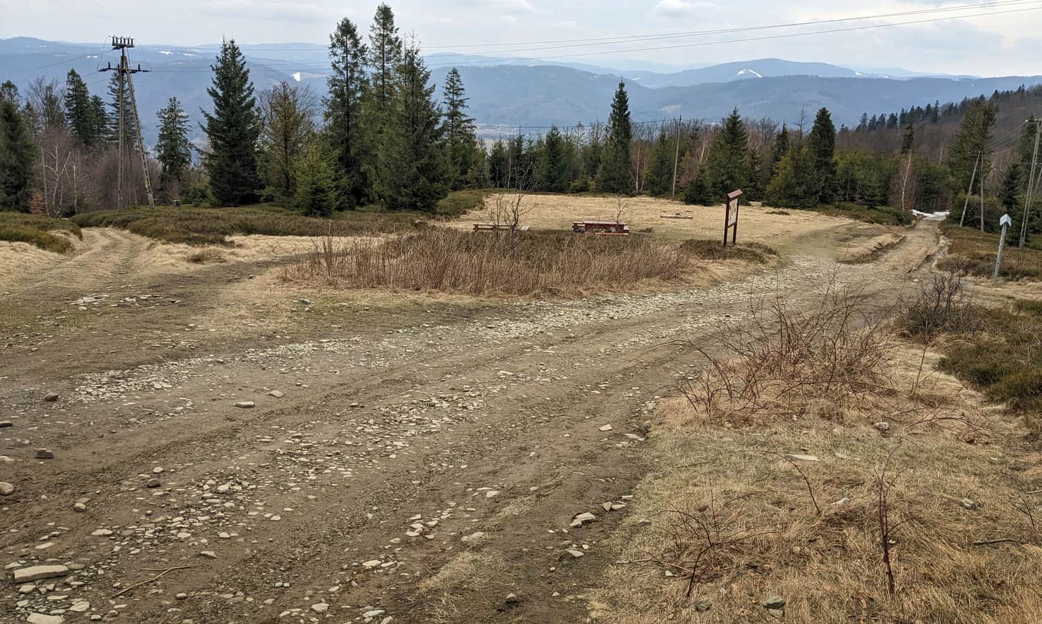
From the shelter, we walk a comfortable forest road following the red and yellow trails to the top of Szyndzielnia - apart from a sign, there are no additional attractions here (just the forest around).
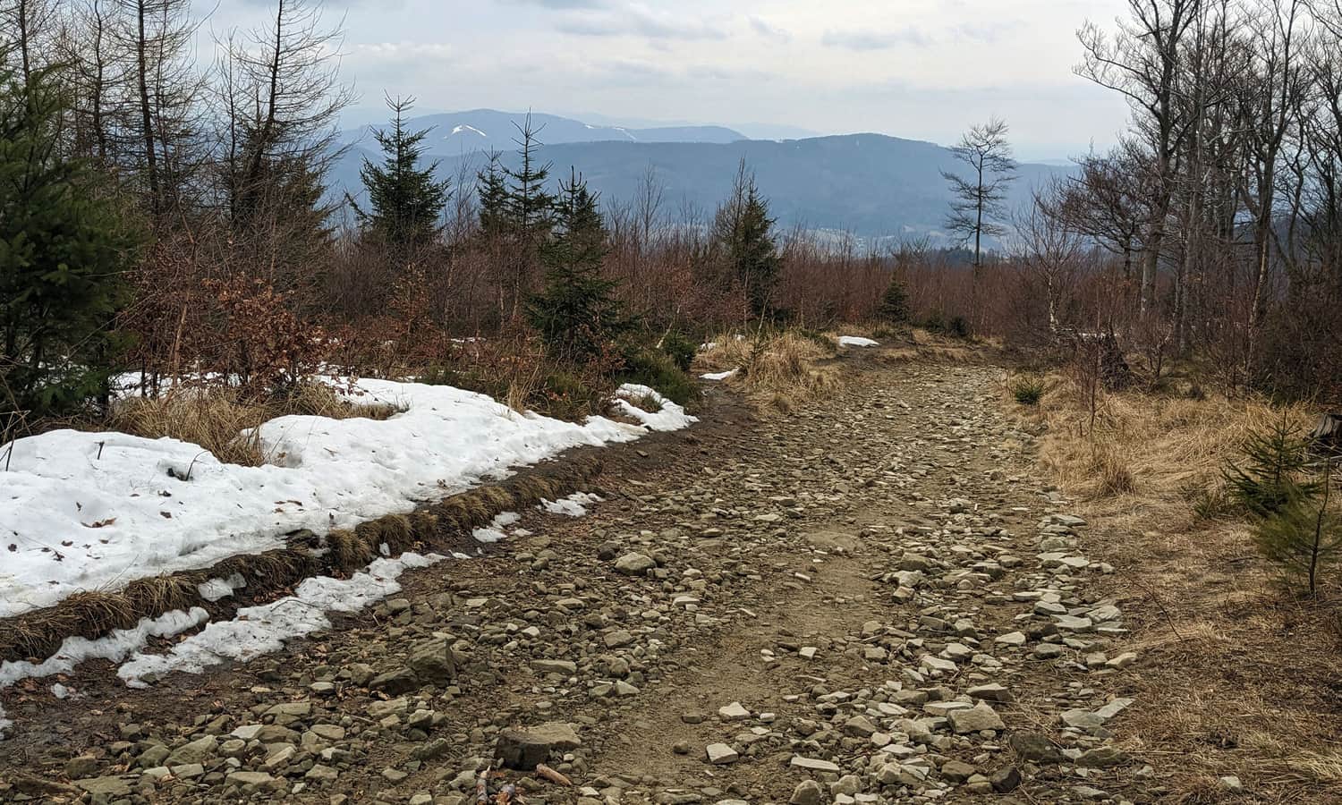
Then we continue on the same path until we reach the black trail, which allows us to bypass the Klimczok peak. The black trail traverses the peak on a comfortable, wide forest road until it meets the yellow signs again.
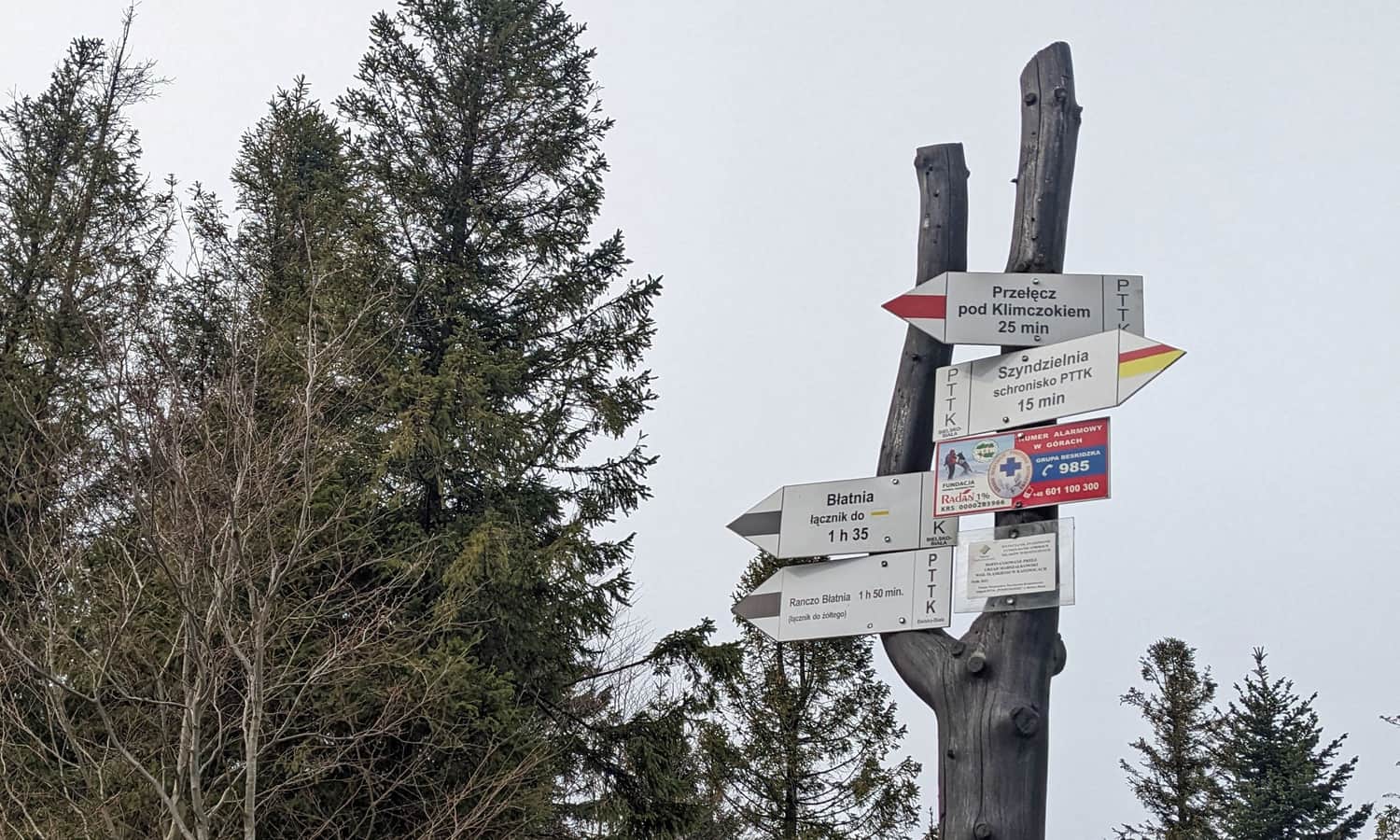
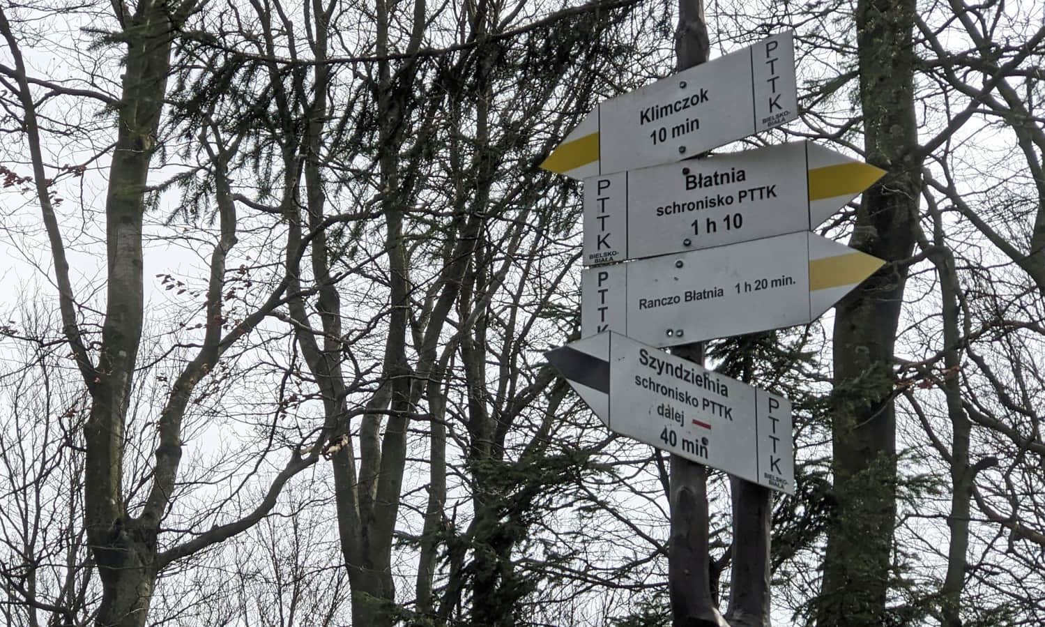
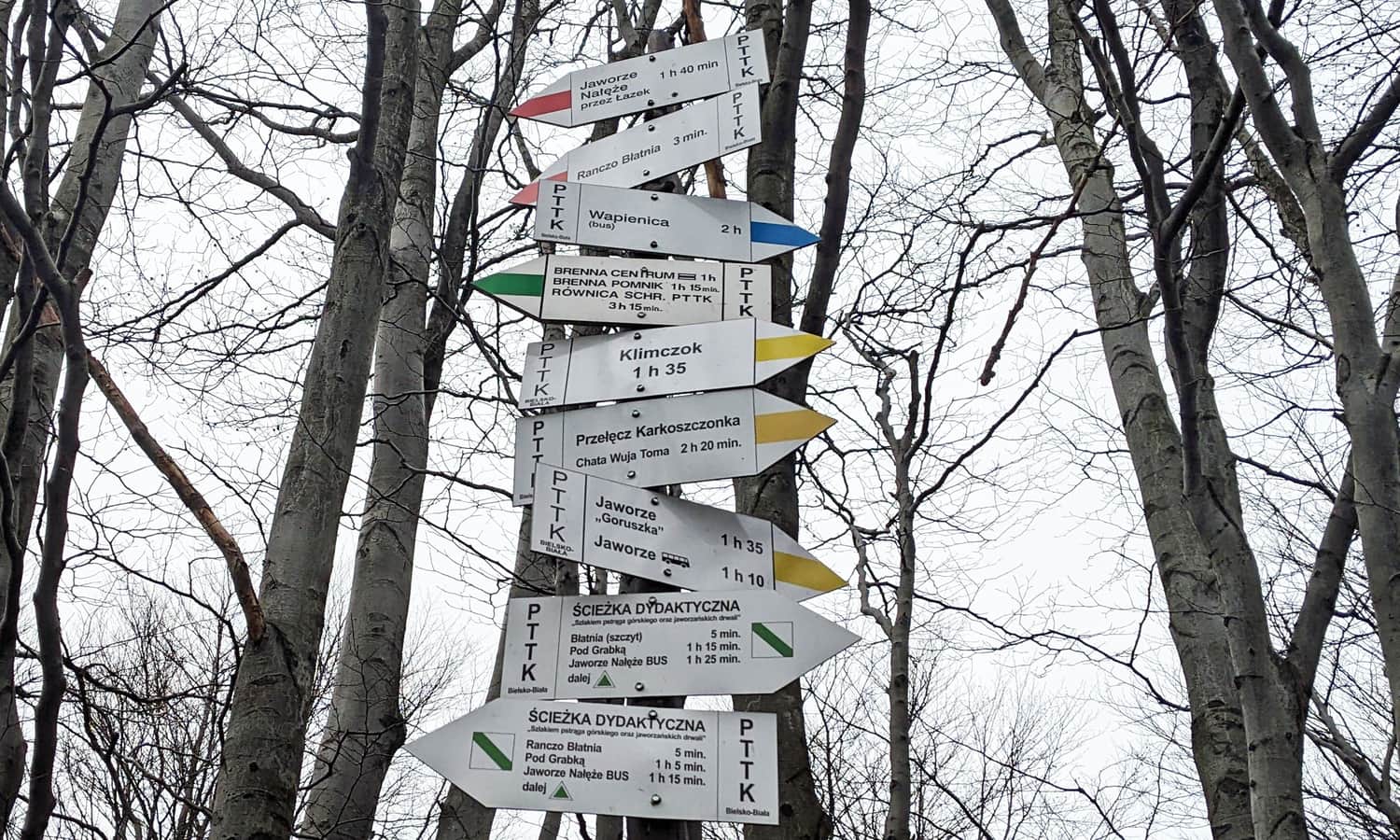
Yellow Trail to Błatnia
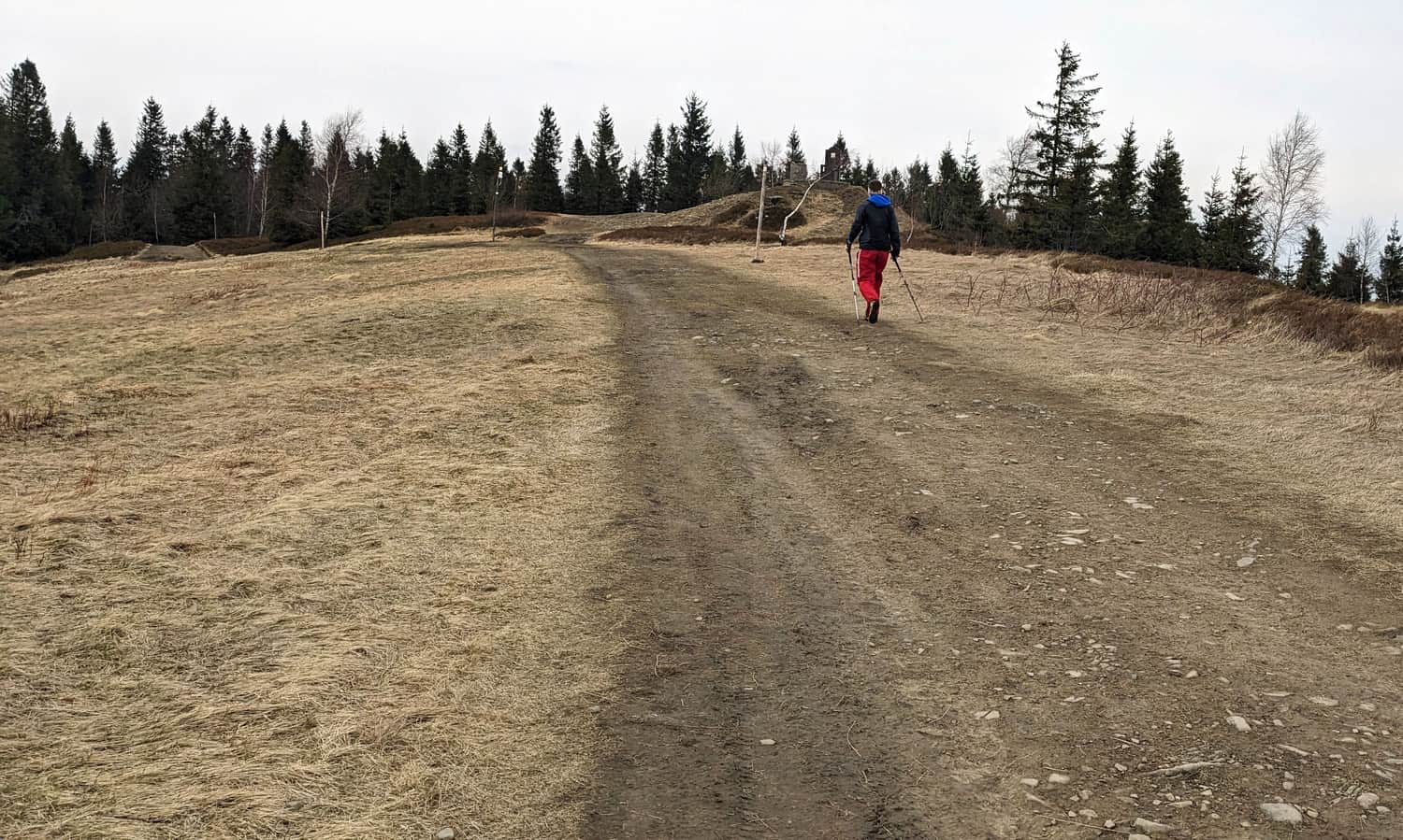
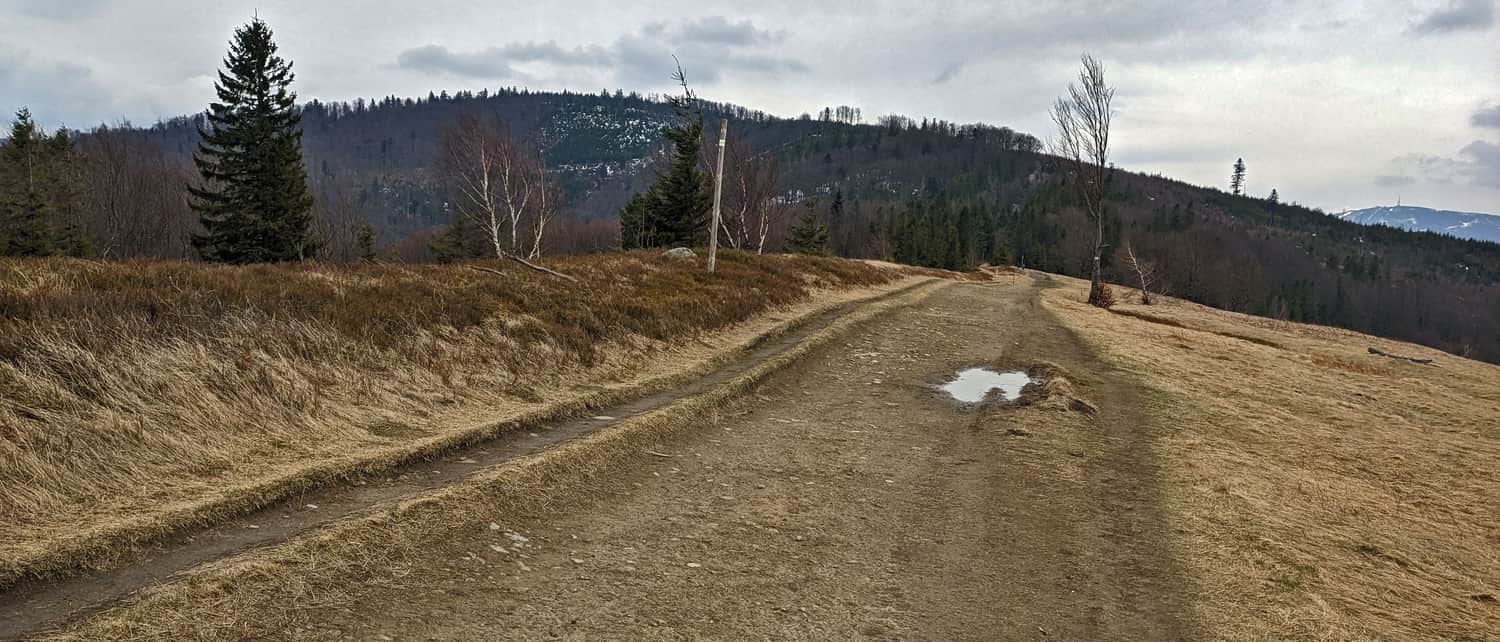
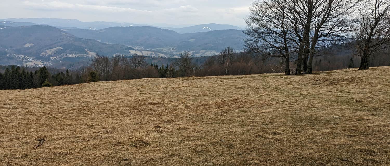
From the intersection of the black and yellow trails, turn right and follow the yellow signs, which will lead you to the peaks of Trzy Kopce, Stołowa, and finally to Błatnia itself. Along the way, there will be a few light, short climbs, but mostly you'll be going downhill or on flat ground.
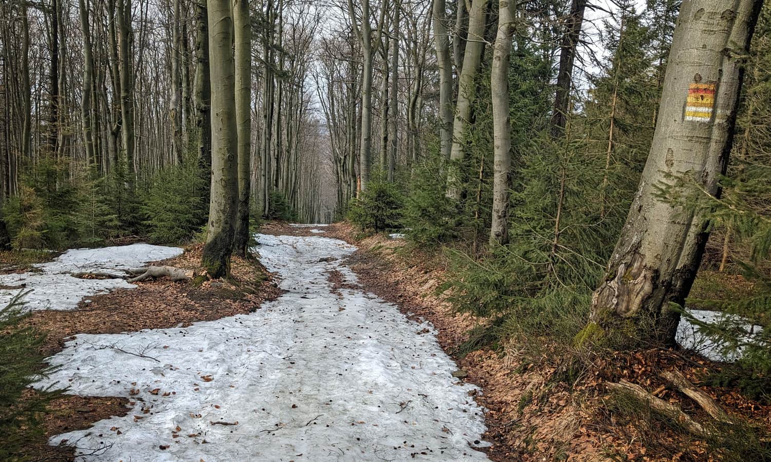
Before reaching the destination, there are a few attractions, such as this beautiful beech alley:
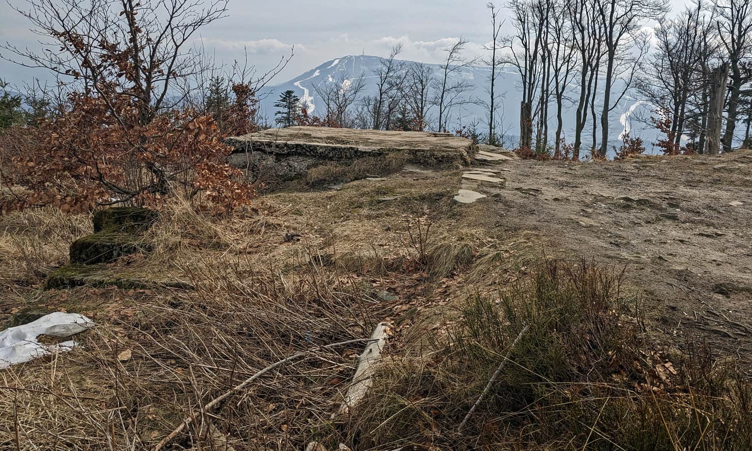
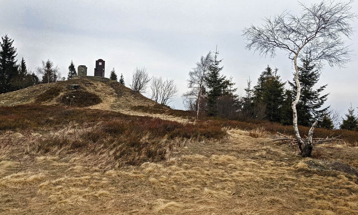
Also, the ruins of a pre-war shelter at Trzy Kopce with a view of Skrzyczne, the border of the "Stok Szyndzielni" reserve, and beautiful meadows on the way to the top of Błatnia.
Błatnia, 917 meters above sea level: Peak, Meadows, and Views
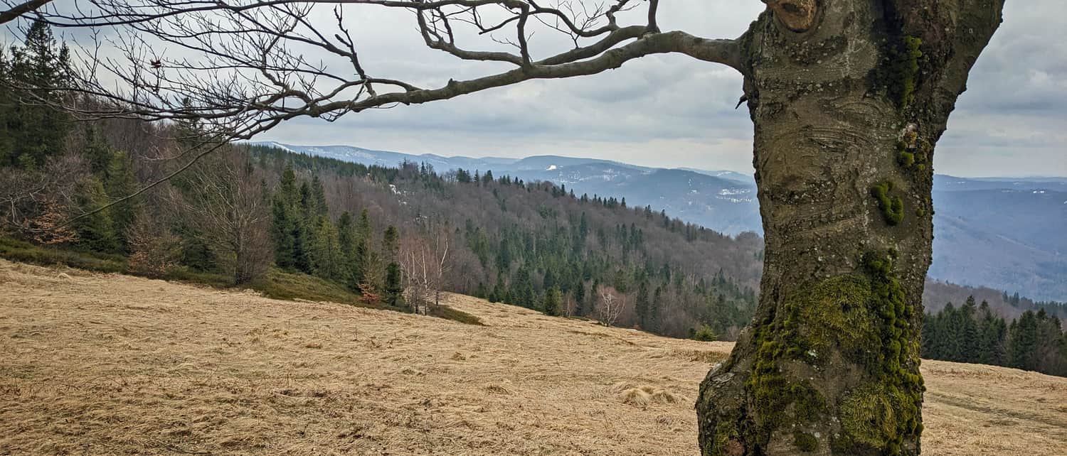
A big plus of the low Błatnia peak is the vast and incredibly scenic meadows. With good visibility, you can see not only Skrzyczne, Malinowska Skała, Barania Góra, Stożek, Czantoria, and Równica, but also further away Wielka Racza in the Żywiec Beskids, Slovak peaks like Wielki Krywań from the Little Fatra and Wielka Luka from the Little Fatra, and Czech peaks of the Silesian-Moravian Beskids.
An additional attraction of Błatnia is the possibility to rest on a large wooden throne (although a picnic on the meadow might be more comfortable...)
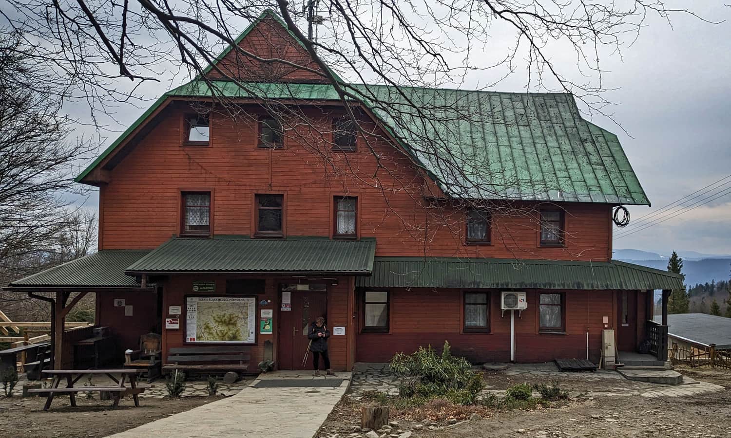
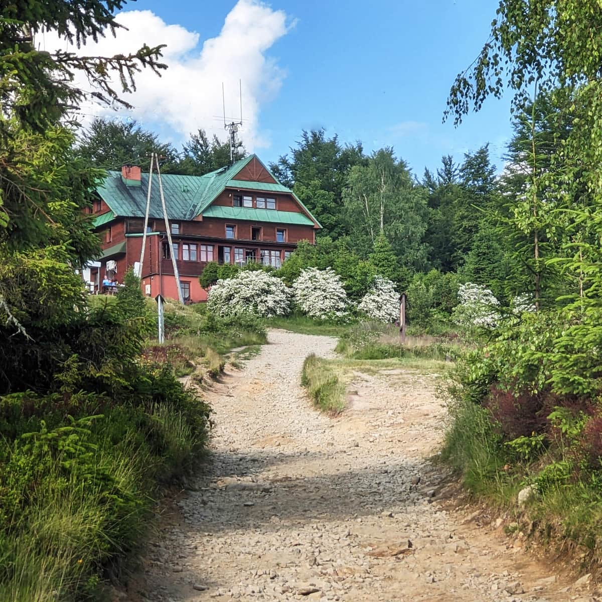
PTTK Shelter at Błatnia
To reach the shelter from the top of Błatnia, continue following the yellow signs for about 200 meters and descend below the peak. At the shelter, which has a nearly 100-year history, you can enjoy warm meals, drinks, snacks, and souvenirs. You can also stamp your book or use the restroom with a changing table for babies. From the terrace of the shelter and the meadows below, there is a wide panorama to the southwest.
More about the PTTK Shelter at Błatnia and other trails to the peak in the article:
Błatnia - Shelter, Trails, and Views
Błatnia, 917 meters above sea level, is a not very prominent but scenic peak in the northern part of the Silesian Beskids. It's easy to reach, has many trails, and you can rest at a cozy mountain shelter, making Błatnia a popular hiking destination. ...
Return from Błatnia to Szyndzielnia
We return to Szyndzielnia on the same yellow trail - note: this way will be a bit more uphill than from Szyndzielnia to Błatnia! The return journey should take about 2 hours.

Publish Date:
Last Updated:
More in the Region Beskid Śląski (Silesian Beskid)


