
Szyndzielnia - Shelter, Views, and Trails to the Peak

Szyndzielnia (1028 meters above sea level) is a peak in the Silesian Beskids, known for being unique in many ways. What should tourists know about it, what attractions await, and which trail should they choose to get there?
Szyndzielnia - Attractions at the Top
Why should tourists visit Szyndzielnia? What interesting things are there at the top?
Views from Szyndzielnia
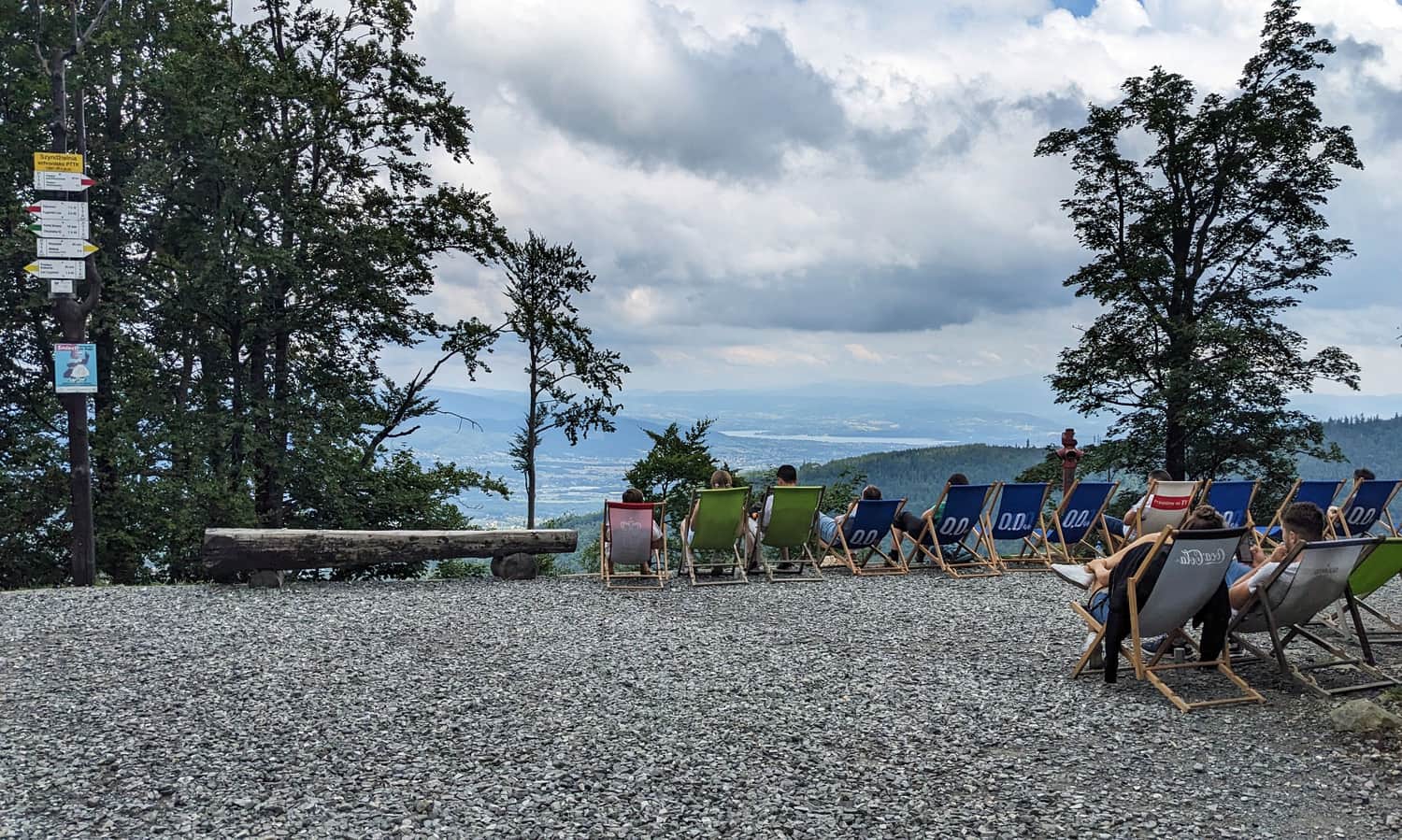
The top of Szyndzielnia is forested, so besides taking a photo with the sign, there isn't much else to do. However, a beautiful view to the southwest, including the majestic Babia Góra, can be seen near the mountain shelter.
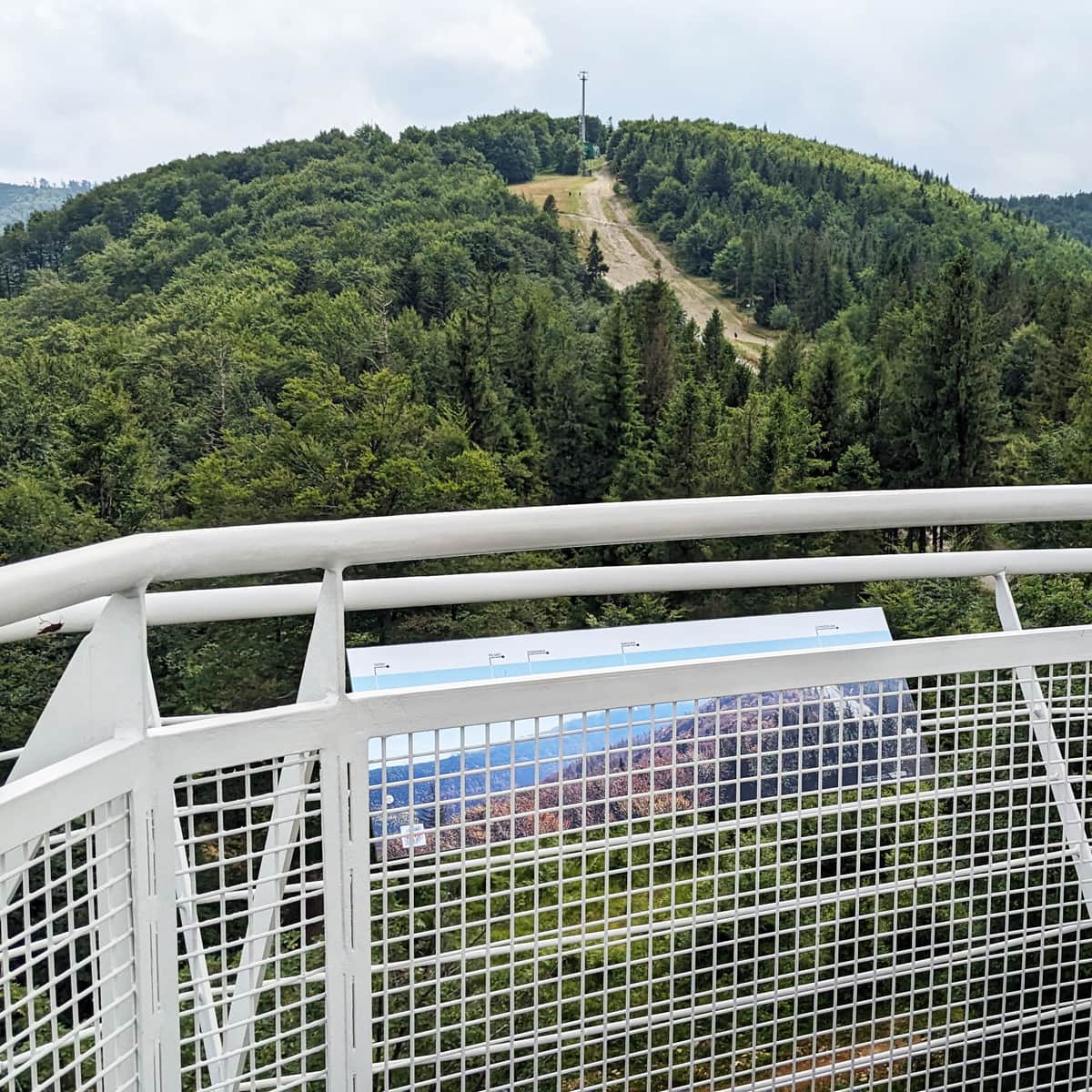
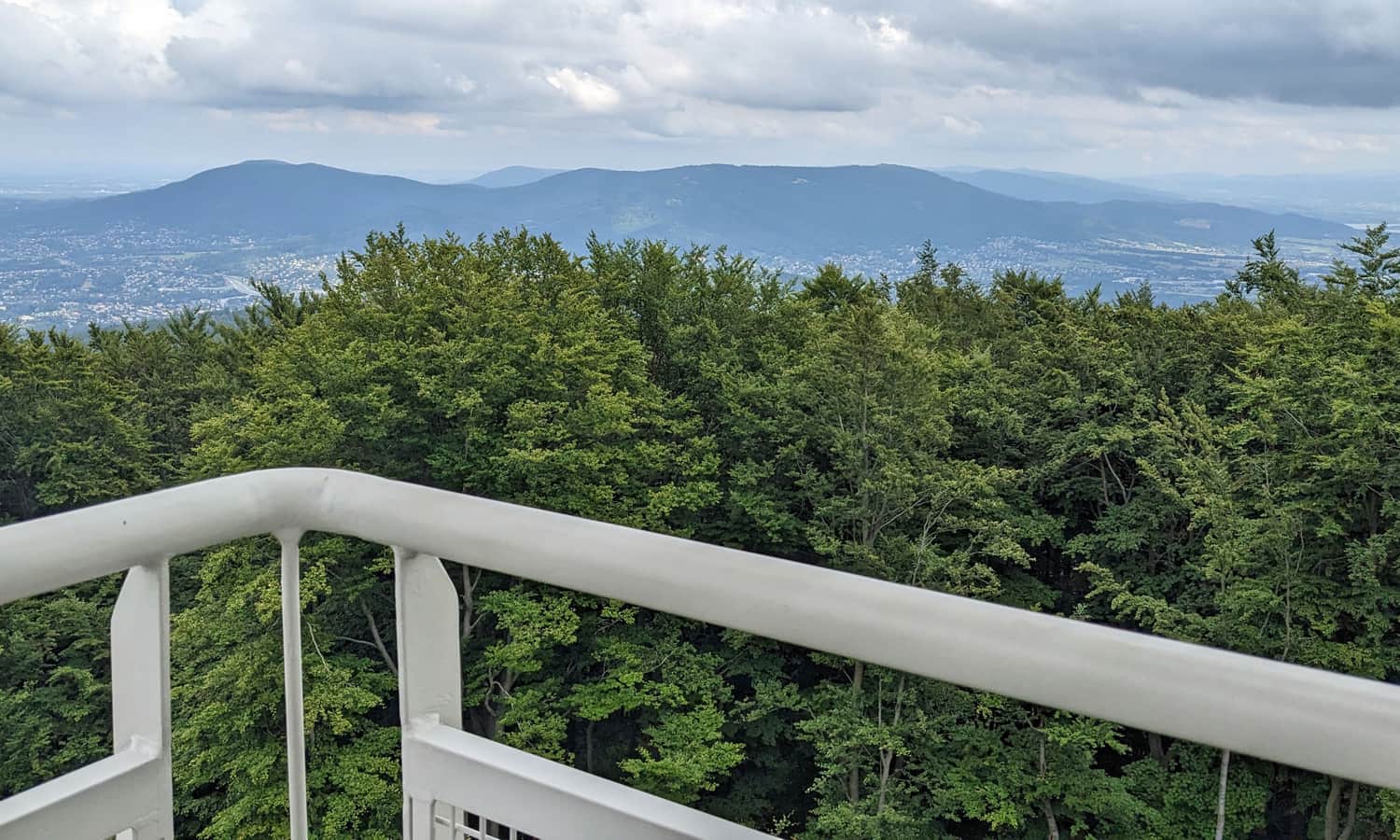
Viewing Tower on Szyndzielnia
For even wider views in all directions, visit the viewing terrace on the tower. The tower is located near the upper station of the gondola lift, about 1 km from the peak (600 meters from the shelter). Note: entry is paid, and the tower is only open during the gondola's operating hours.
Observation Tower on Szyndzielnia
The observation tower on Szyndzielnia is an extra attraction for tourists who take the gondola lift and for hikers who reach the peak using the extensive network of walking trails. Built in 2015, the 18-meter high tower allows us to rise above the treetops and enjoy beautiful views in all directions. ...
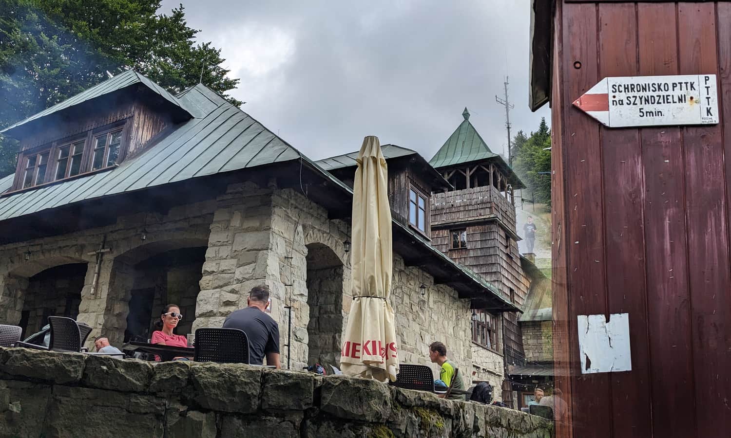
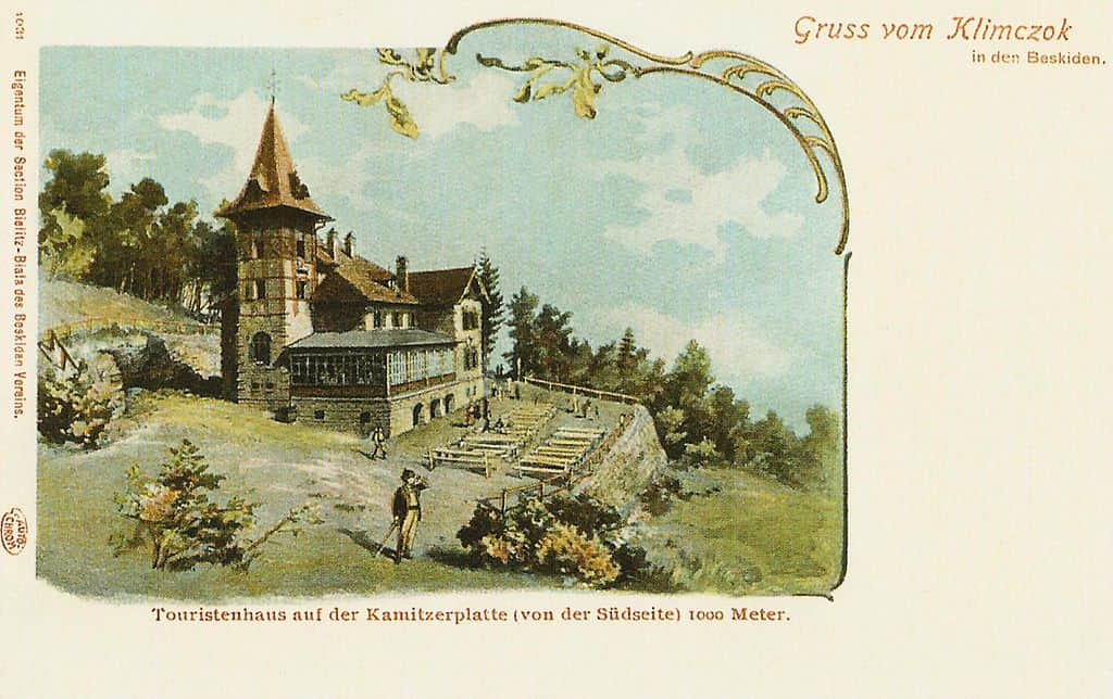
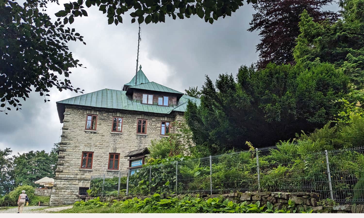
PTTK Shelter on Szyndzielnia
The shelter, located just below the peak of Szyndzielnia, has a long and rich history. See how it looked at the beginning of the 20th century:
Today, tourists will find accommodation, a large restaurant, a grill bar, a souvenir shop, and a viewing terrace with deck chairs.
How to Get to Szyndzielnia - All Trails and Routes to the Peak
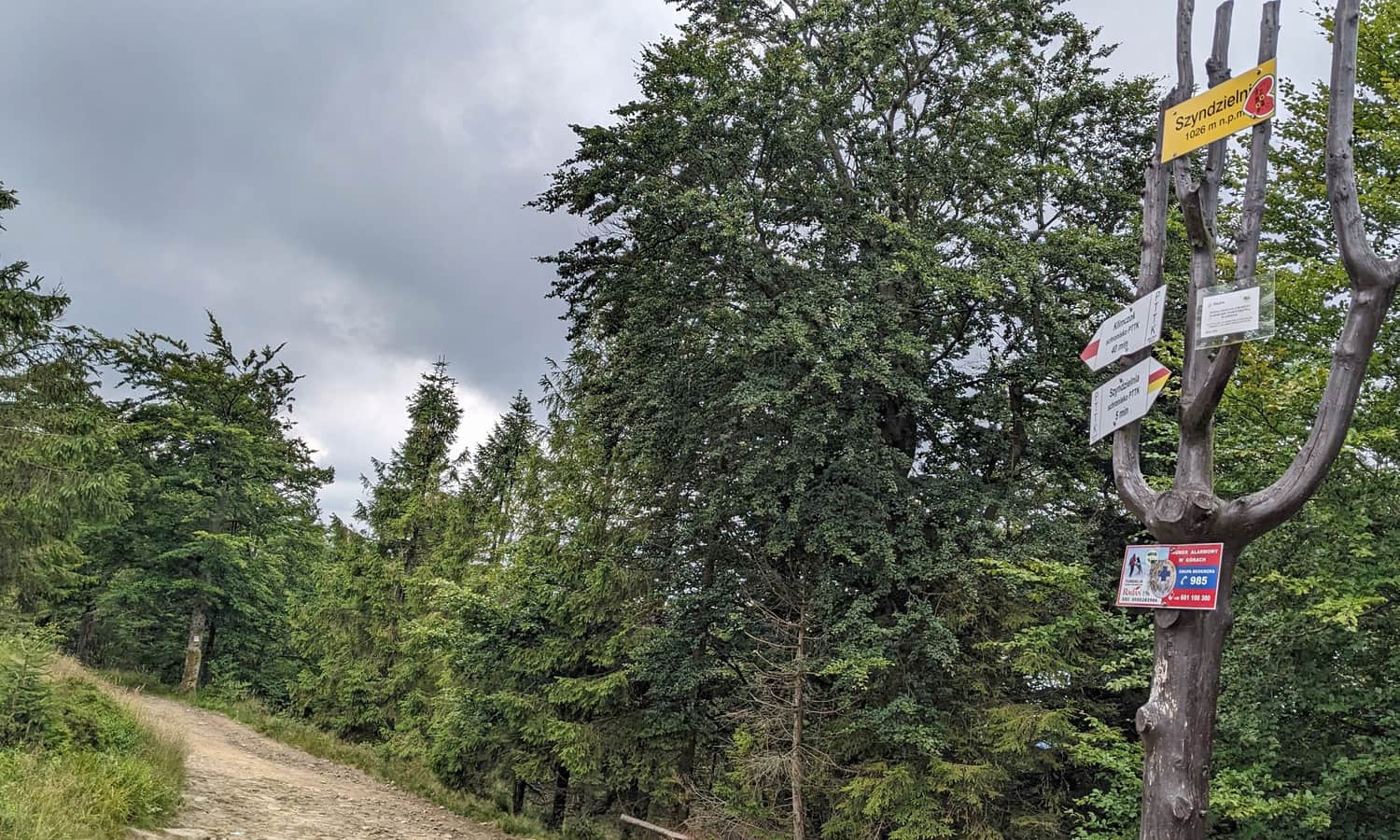
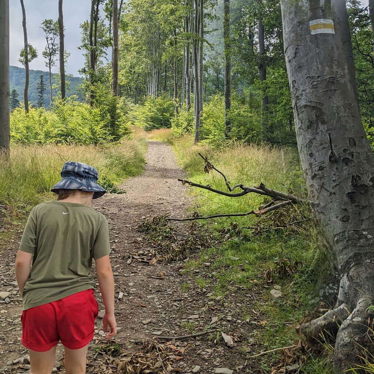
Around the peak of Szyndzielnia, there is a rich network of hiking and biking trails. Tourists can reach it from Bielsko-Biała, Bystra, Szczyrk, and Brenna.
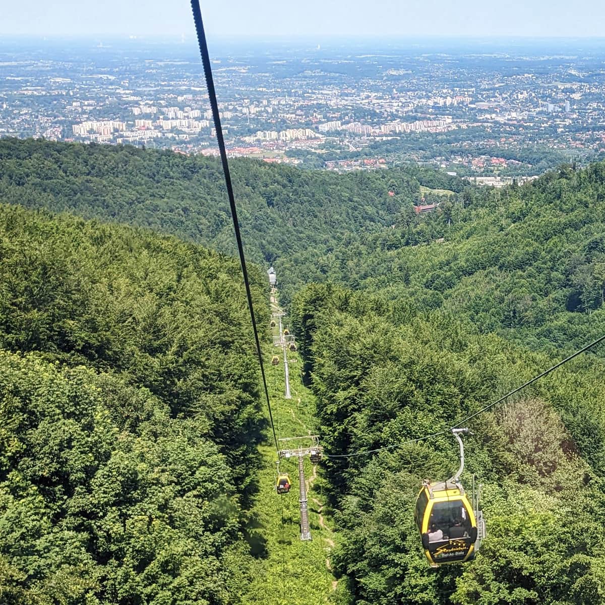
Easiest Way to Szyndzielnia: Gondola Lift
The easiest way to reach Szyndzielnia is by gondola lift from Bielsko-Biała. After getting off at the upper station, it's about 600 meters to the shelter (and about 1 km to the peak).
Easy
Gondola to Szyndzielnia

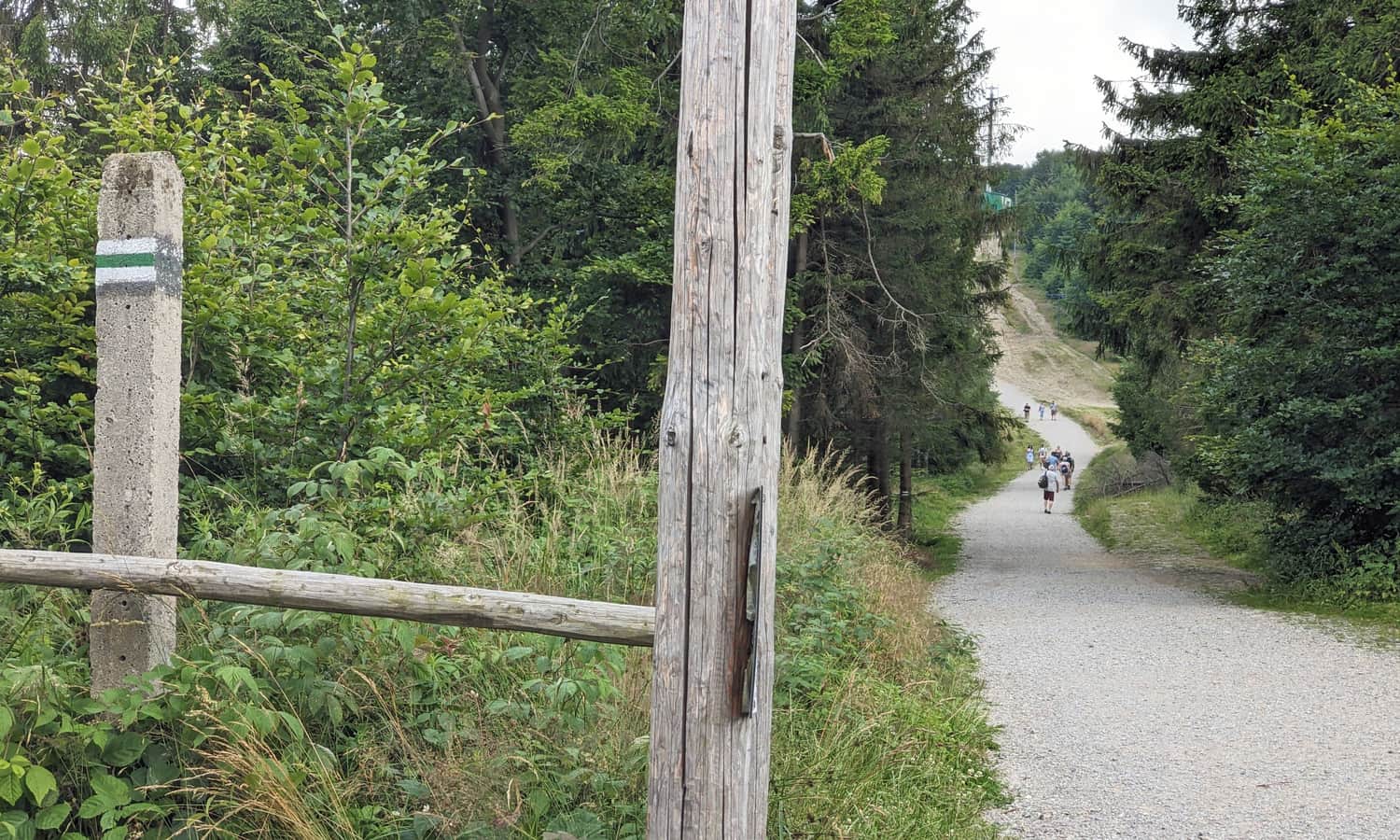
Red and Green Trail from Bielsko-Biała to Szyndzielnia
The red and green trails are hiking paths to the peak of Szyndzielnia, running almost parallel to the gondola line. Tourists can combine them into an easy and not too long loop. The round trip is less than 12 km.

Medium
Szyndzielnia. Loop: Red and Green Trail

To Szyndzielnia via Kozia Góra
A longer but interesting route is the trail to Szyndzielnia from the east, with a stop at the Stefanka shelter on Kozia Góra. Tourists can reach Kozia Góra either from Bielsko-Biała (red or green trail) or from Bystra:
Medium
Szyndzielnia through Kozia Góra from Bystra

Other Trails to Szyndzielnia
What other ways can tourists reach the peak of Szyndzielnia? There are many options!
- Yellow trail from Bielsko-Biała, Olszówka Street via Kołowrót: 7 km, 720 meters elevation difference, about 3 hours one way
- Yellow trail from the Wapienica Valley: 6 km, 600 meters elevation difference, about 2.5 hours one way
- Blue + red trail from Szczyrk: 6 km, 570 meters elevation difference, about 2.5 hours one way
- Blue + red trail from Bystra via PTTK shelter under Klimczok: 7 km, 640 meters elevation difference, about 2:45 hours one way
- Green + yellow trail from Brenna via PTTK shelter on Błatnia: 10 km, 780 meters elevation difference, about 4 hours one way
Szyndzielnia is the Most... - Facts and Curiosities about Szyndzielnia
No, Szyndzielnia is not the highest. The neighboring Klimczok (1117 meters above sea level) is higher, and the highest in the Silesian Beskids is Skrzyczne (1257 meters above sea level). However, Szyndzielnia is the northernmost peak of the Carpathians exceeding 1000 meters above sea level.
The shelter on Szyndzielnia is the oldest preserved (with minor renovations) shelter in the Polish Beskids. It was built by the German tourist association Beskidenverein in 1897!
Szyndzielnia is also one of the best-developed and most accessible peaks in the Beskids. It has a gondola lift (the first in post-war Poland!), a rich network of hiking and biking trails, a shelter, and a viewing tower. What more could tourists want?
Where Does the Name Szyndzielnia Come From?
The name Szyndzielnia comes from the local term for shingles: szyndzioł. It was also called Szyndzielny or Szędzielny Groń. Names related to the word szyndzioł can be found in other regions, for example, Szyndzielny Potok flows from the slopes of Rysianka and Lipowski Wierch in the neighboring Żywiec Beskids, and a mountain with the same name is also found on the way to Kłodzka Góra.

Publish Date:
Last Updated: