
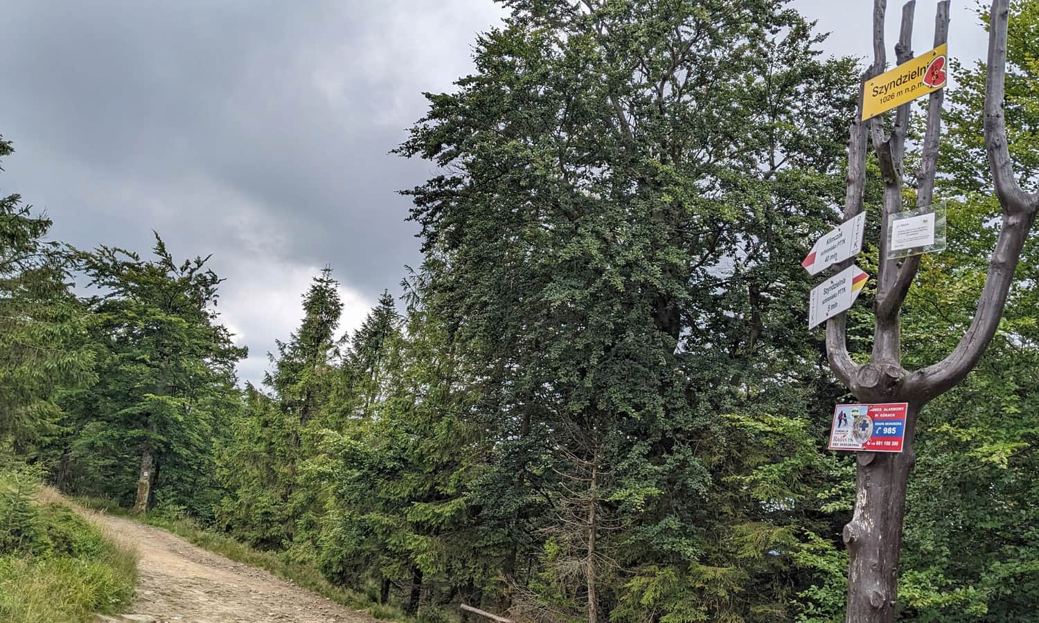
Szyndzielnia through Kozia Góra from Bystra
Nearby: Bielsko-Białabeach_access Route in the shade
restaurant Restaurant or bar nearby
sports_basketball Playground along the route
directions_car Access by car
directions_bus Can be reached by bus
wc Toilet along the route
The trail to Szyndzielnia (1028 meters above sea level) through Kozia Góra is an interesting route to reach this popular and scenic peak in the Silesian Beskids. A great thing about this route is that you can visit the Stefanka mountain hut along the way, and there are usually fewer tourists compared to the trails near the gondola lift.
From Bystra to Kozia Góra
The first part of our hike is reaching the Stefanka mountain hut and the top of Kozia Góra. You can get here from Bielsko-Biała (red and green trails from Pocztowa Street) or take a shorter route from Bystra.
In Bystra, there are two large free parking lots. The red trail will take you to the blue signs in about 30 minutes, and after another 20-30 minutes, you'll reach the hut just below the top of Kozia Góra.
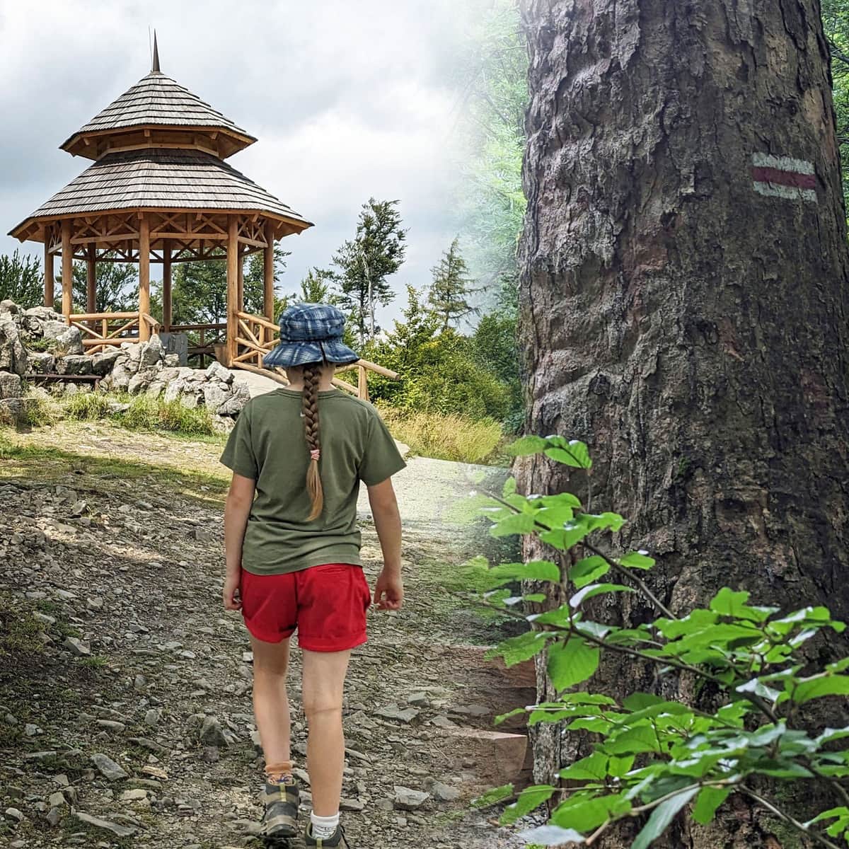
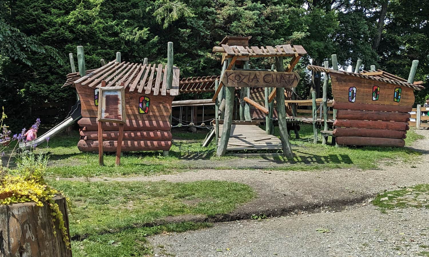
This is a good place for a first stop on the way to Szyndzielnia. You can rest at the hut (meadows, benches, tables, a large playground, and a buffet with simple snacks) or in a quiet, scenic gazebo at the top, just a few minutes from the hut.
Learn more about this part of the trail here:
Easy
From Bystra to Kozia Góra: Red and Blue Trail

From Kozia Góra through Kołowrót to Szyndzielnia
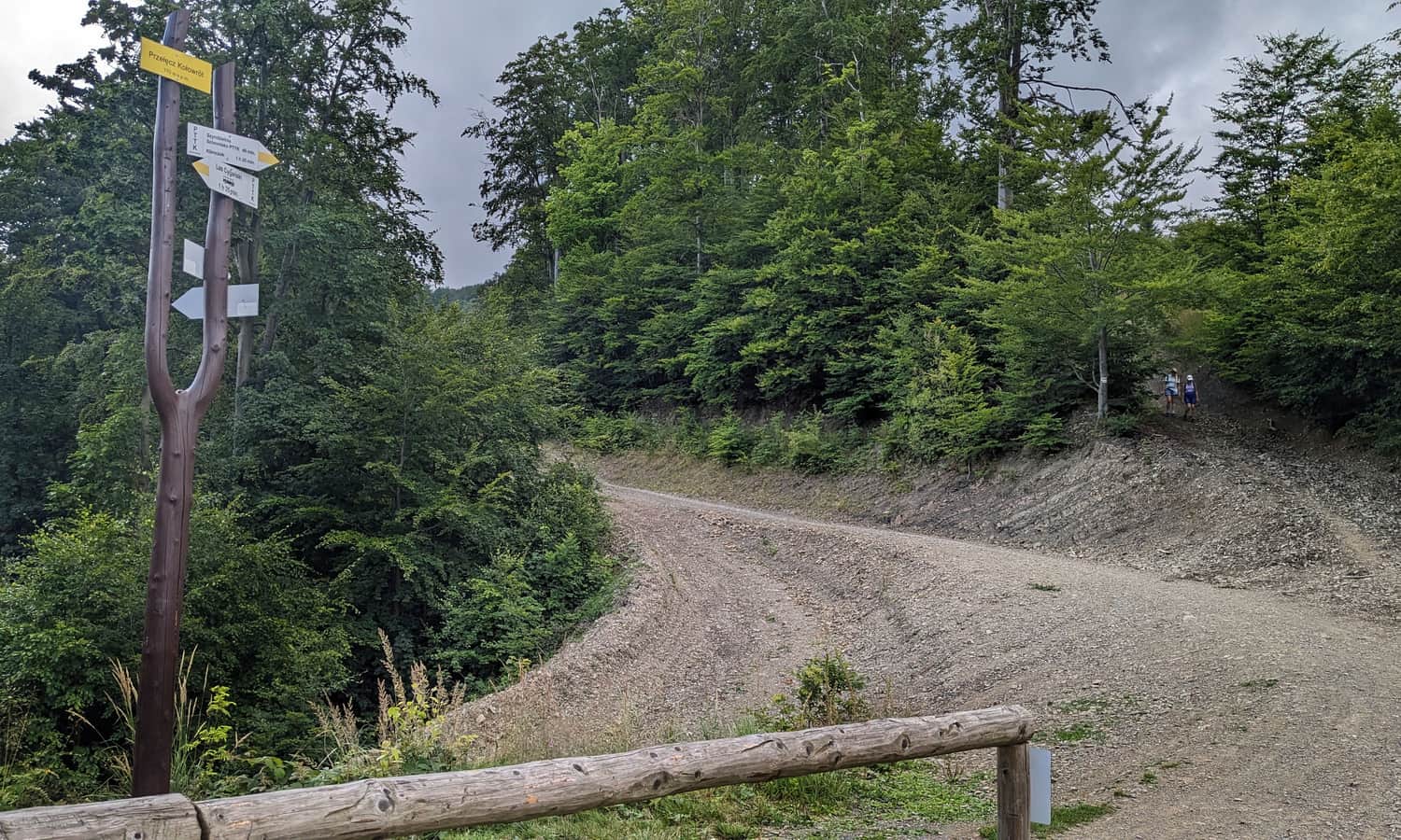
From the top of Kozia Góra, head down to the intersection with the yellow trail at the Pass under Kozia. There's also a small gazebo here.
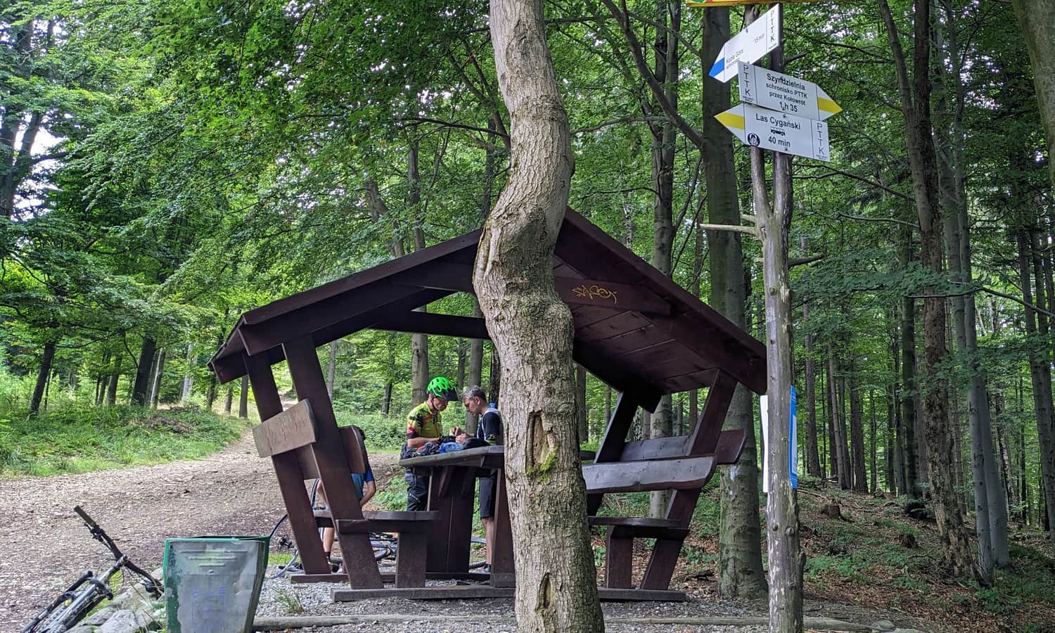
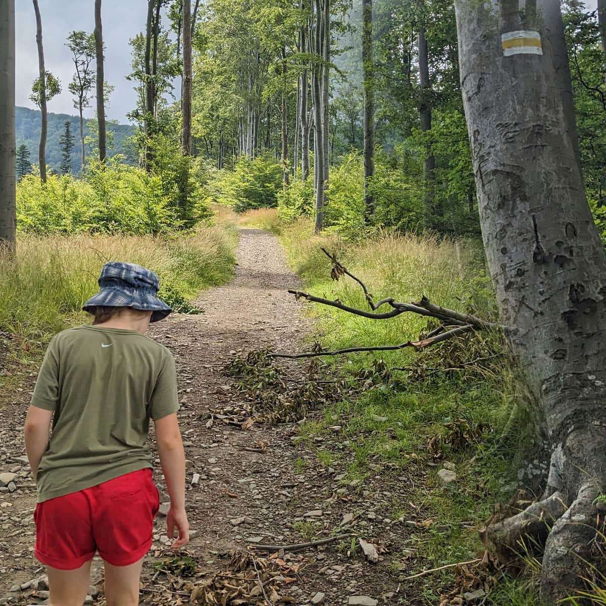
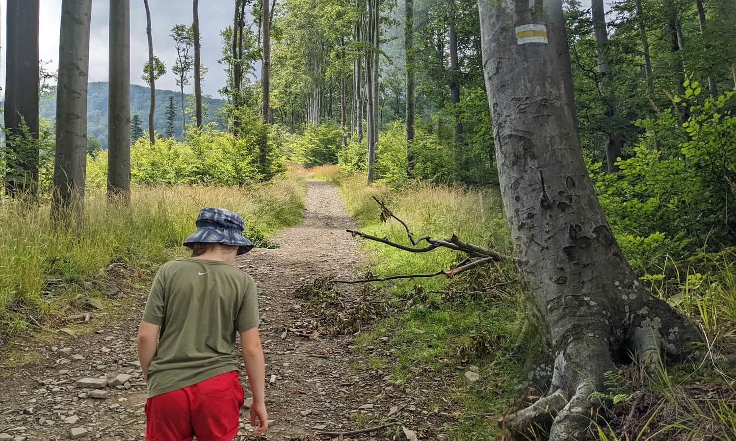
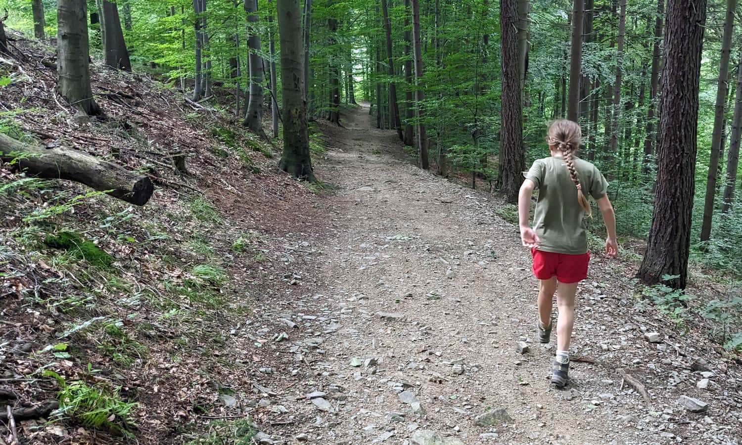
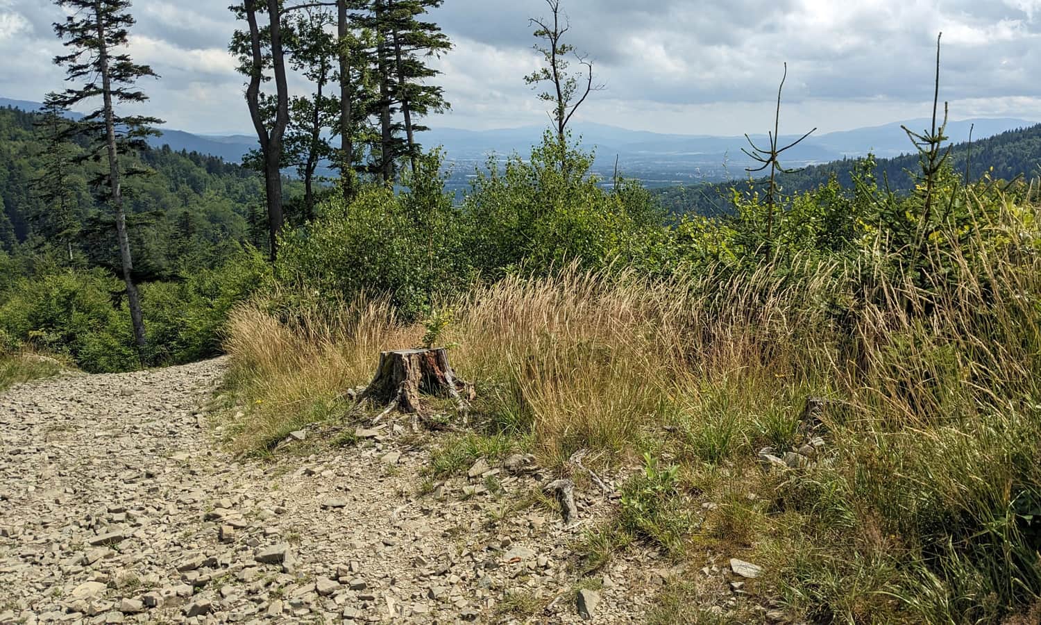
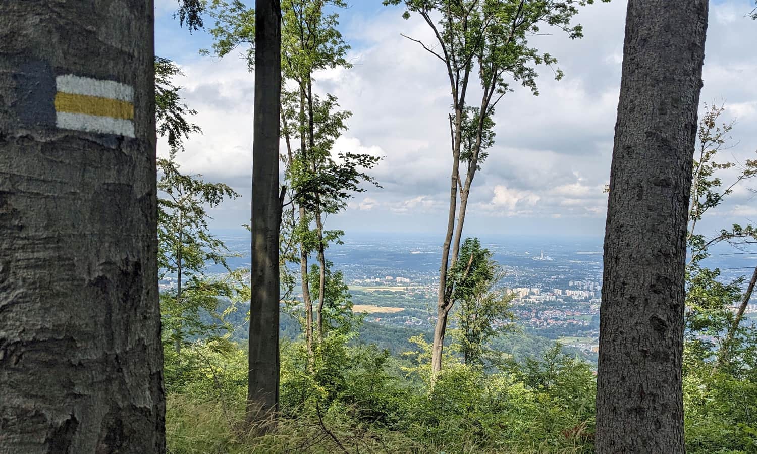
From the Pass, follow the yellow trail towards the peak of Kołowrót (788 meters above sea level). This 2-kilometer section involves some climbing, with a height difference of about 200 meters. The path is comfortable and wide, leading through the forest, but there are some scenic viewpoints along the way.
Kołowrót - peak and pass
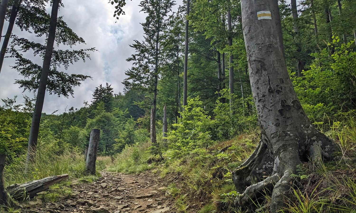
After reaching the peak of Kołowrót, descend to the pass with the same name. Here, you meet the green trail, which also comes from Bystra (but skips Stefanka and Kozia Góra). From the Kołowrót Pass, there's a fairly steep climb ahead. Soon it gets a bit easier, though it's still uphill!
Szyndzielnia: mountain hut and peak
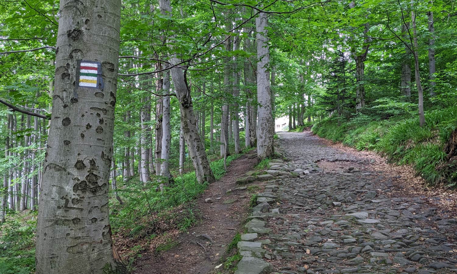
Just before reaching the mountain hut, our yellow trail joins the red and green signs from Bielsko-Biała. Now, a comfortable stone path leads us to the destination.
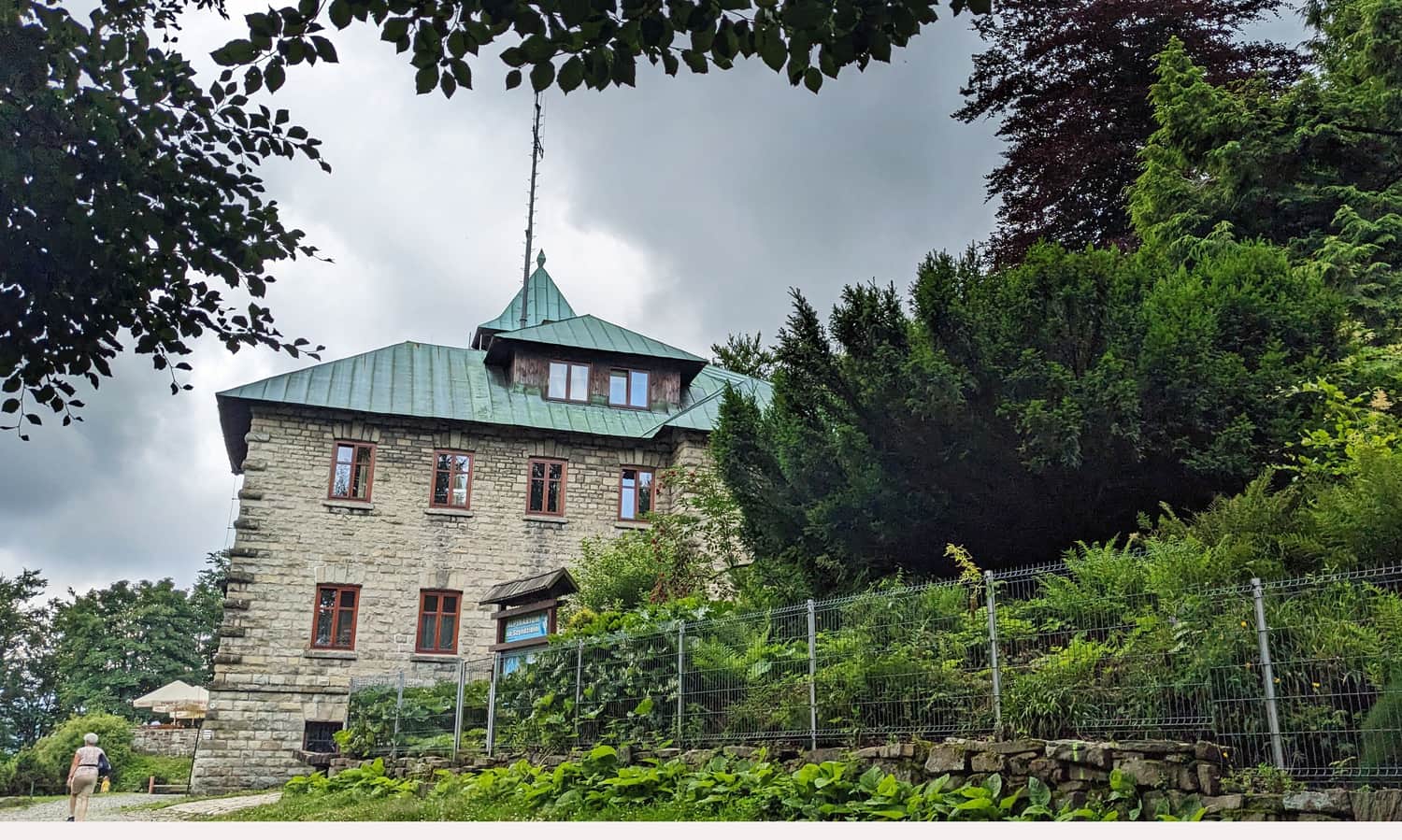
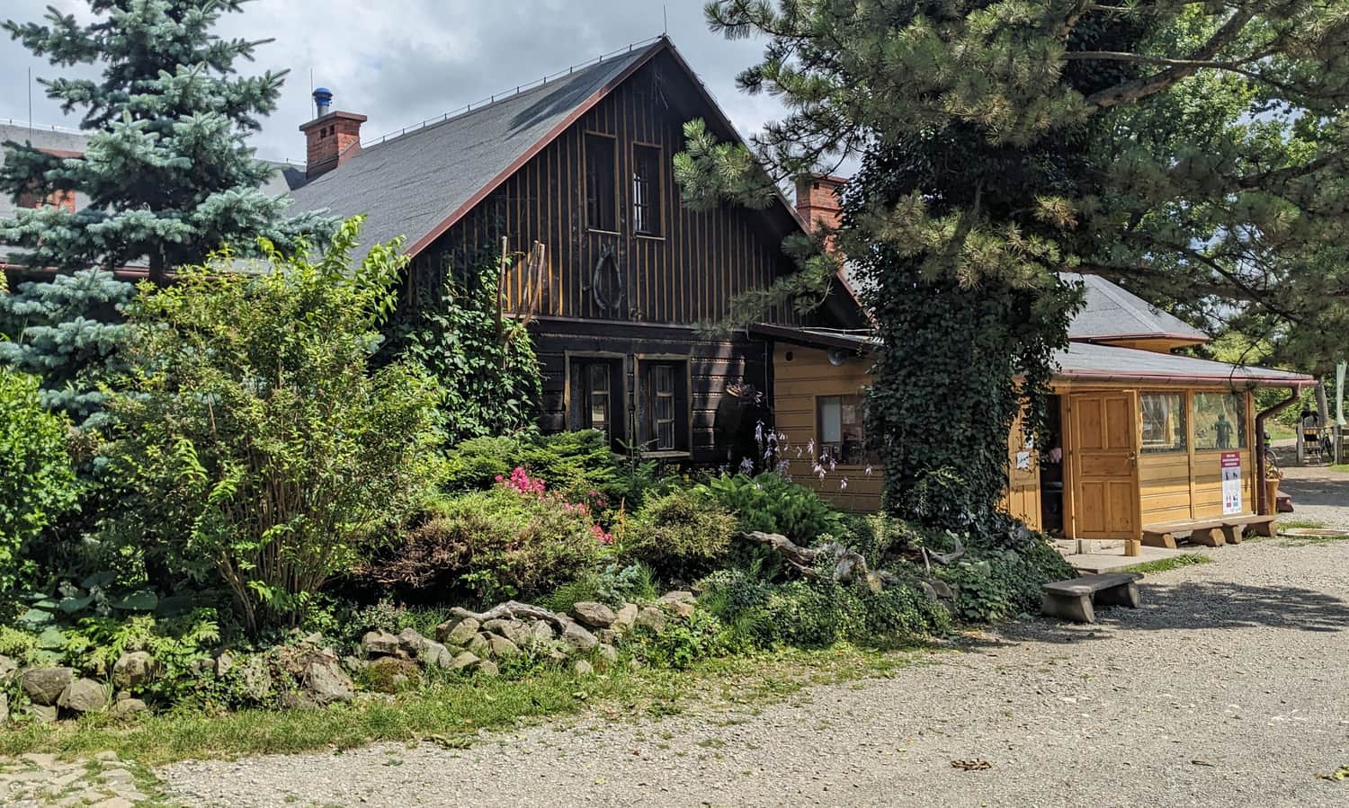
At the PTTK Mountain Hut on Szyndzielnia, you can relax on the scenic terrace, enjoy the restaurant, and buy souvenirs. Below the hut, near the upper gondola station, there's an additional attraction - a paid viewing tower.
To reach the forested peak of Szyndzielnia (1028 meters above sea level), you need to walk about 400 meters (around 10 minutes) on the same yellow trail.
What else is worth knowing about Szyndzielnia, the mountain hut, and other trails to the peak?

Szyndzielnia - Shelter, Views, and Trails to the Peak
Szyndzielnia (1028 meters above sea level) is a peak in the Silesian Beskids, known for being unique in many ways. What should tourists know about it, what attractions await, and which trail should they choose to get there? ...

Publish Date:
Last Updated:
More in the Region Beskid Śląski (Silesian Beskid)


