
From Bystra to Kozia Góra: Red and Blue Trail
Nearby: Bielsko-Białabeach_access Route in the shade
restaurant Restaurant or bar nearby
sports_basketball Playground along the route
directions_car Access by car
directions_bus Can be reached by bus
wc Toilet along the route
Kozia Góra, 683 meters above sea level, is an easily accessible peak in the Silesian Beskids. It's famous for the mountain shelter with a playground that kids love. If you start from Bystra, there is a large parking area available, and it takes only about 1 to 1.5 hours to reach the top.
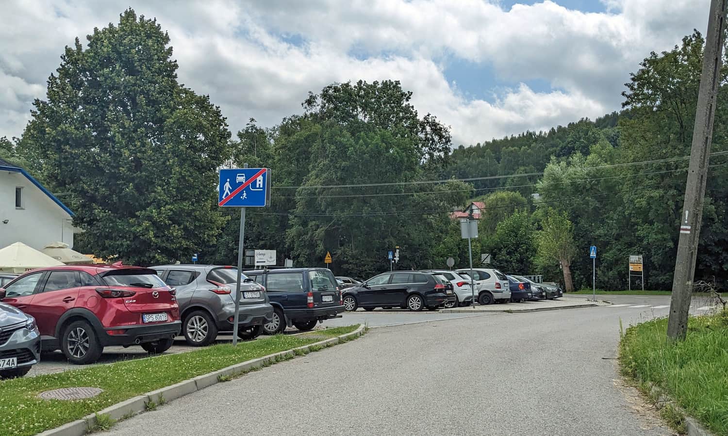
Parking in Bystra by the Red Trail
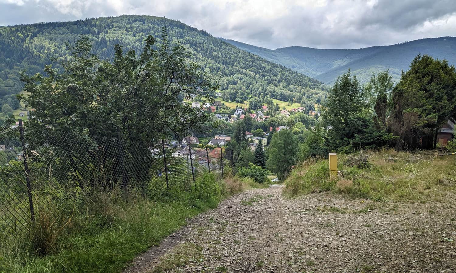
Right by the red trail on J. Fałata Street, you'll find a large, free parking lot. Next to it, there's a restaurant and a small park by the Białka stream. If the parking is full, there's another large parking area across the stream on Klimczoka Street, also by the trail.
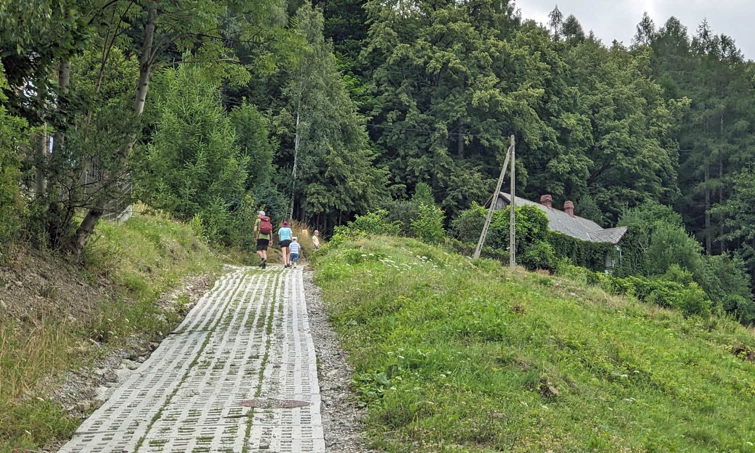
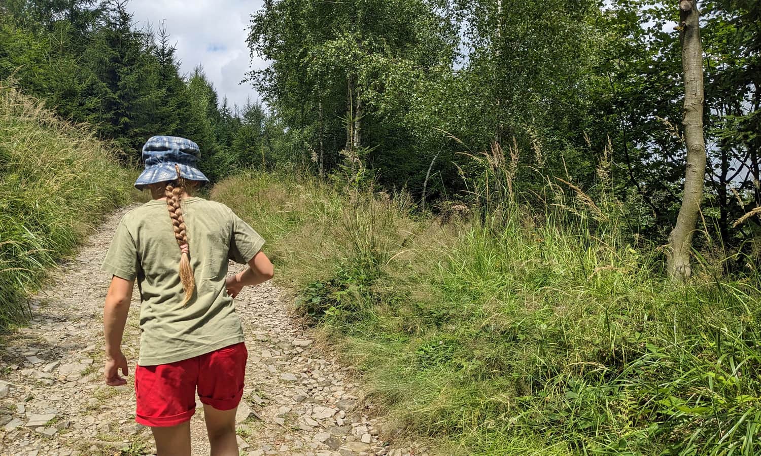
Start of the Red Trail in Bystra
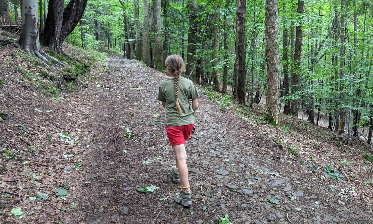
The trail takes you along Beskidzka Street towards the forest. Before entering the comfortable forest path, it's worth looking back at the Białka Valley and the surrounding Beskid peaks.
Blue Trail to Kozia Góra
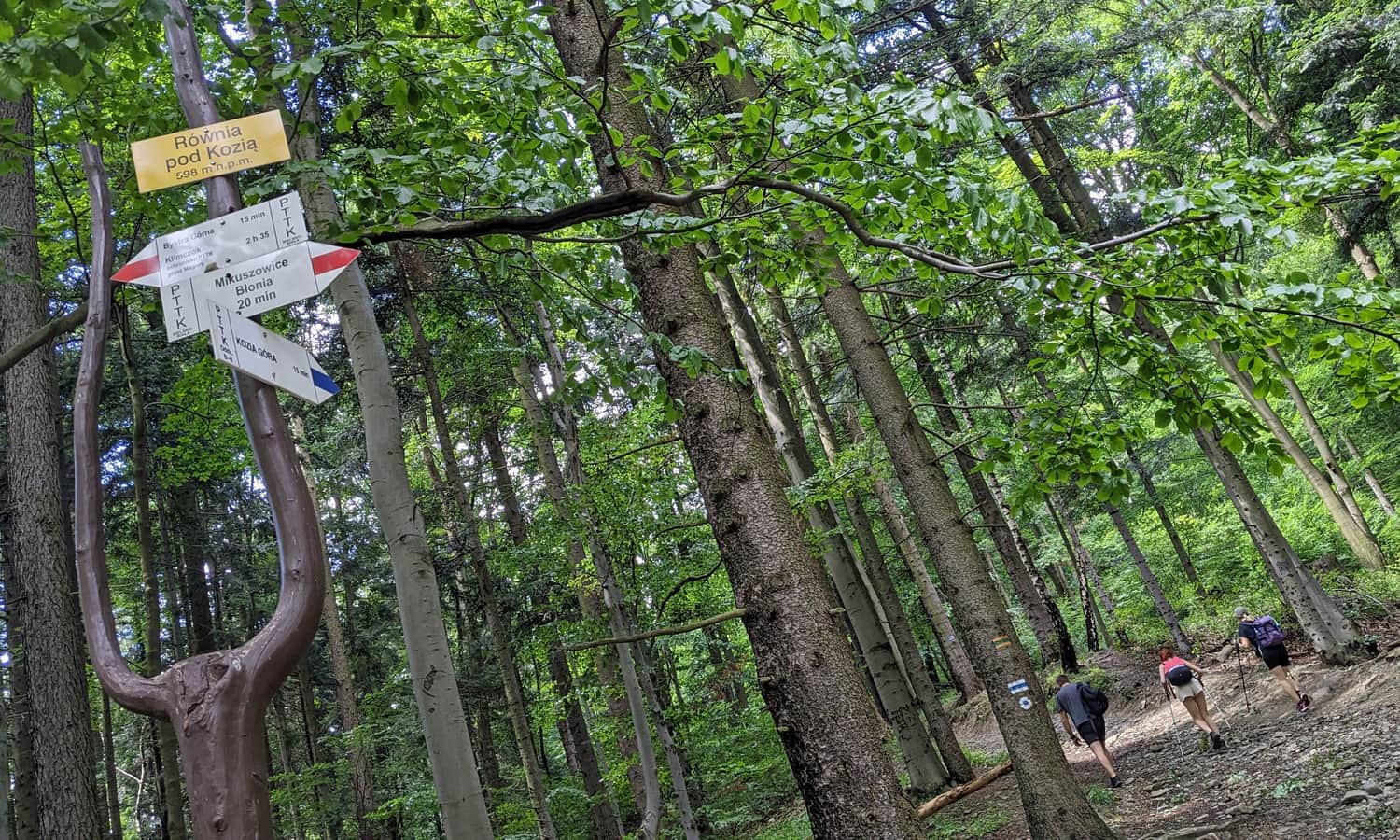
About 30 minutes after starting the trail, you will reach a crossroads at Równia pod Kozią. Here, leave the red trail signs that lead to Bielsko-Biała and turn left onto the blue trail. A wide, comfortable forest road will take you to the shelter on Kozia Górka in about 20-30 minutes.
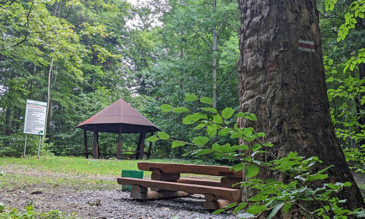
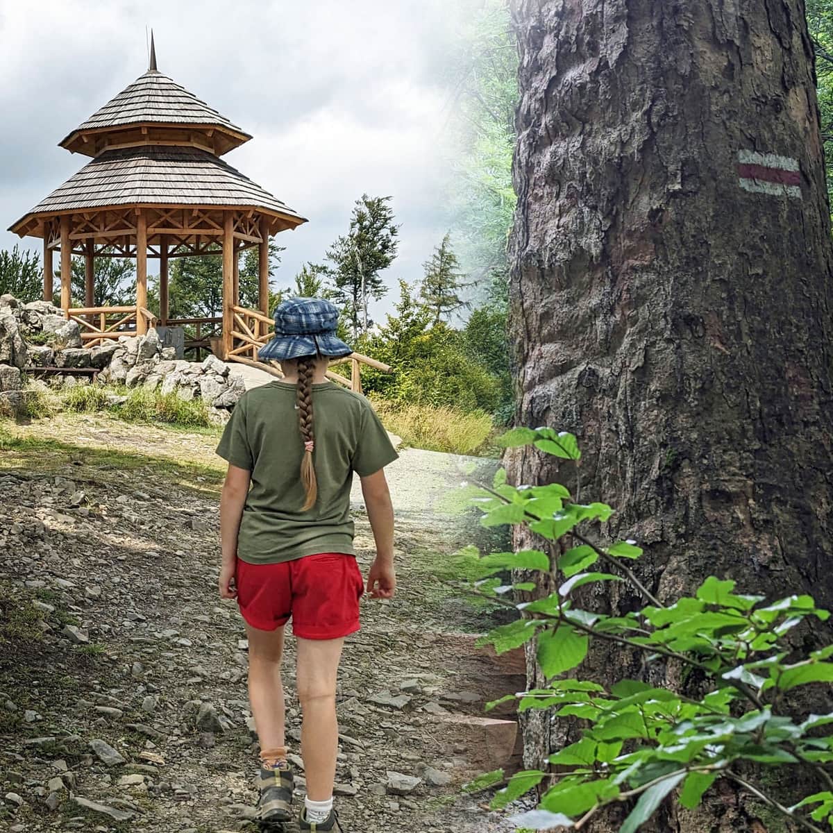
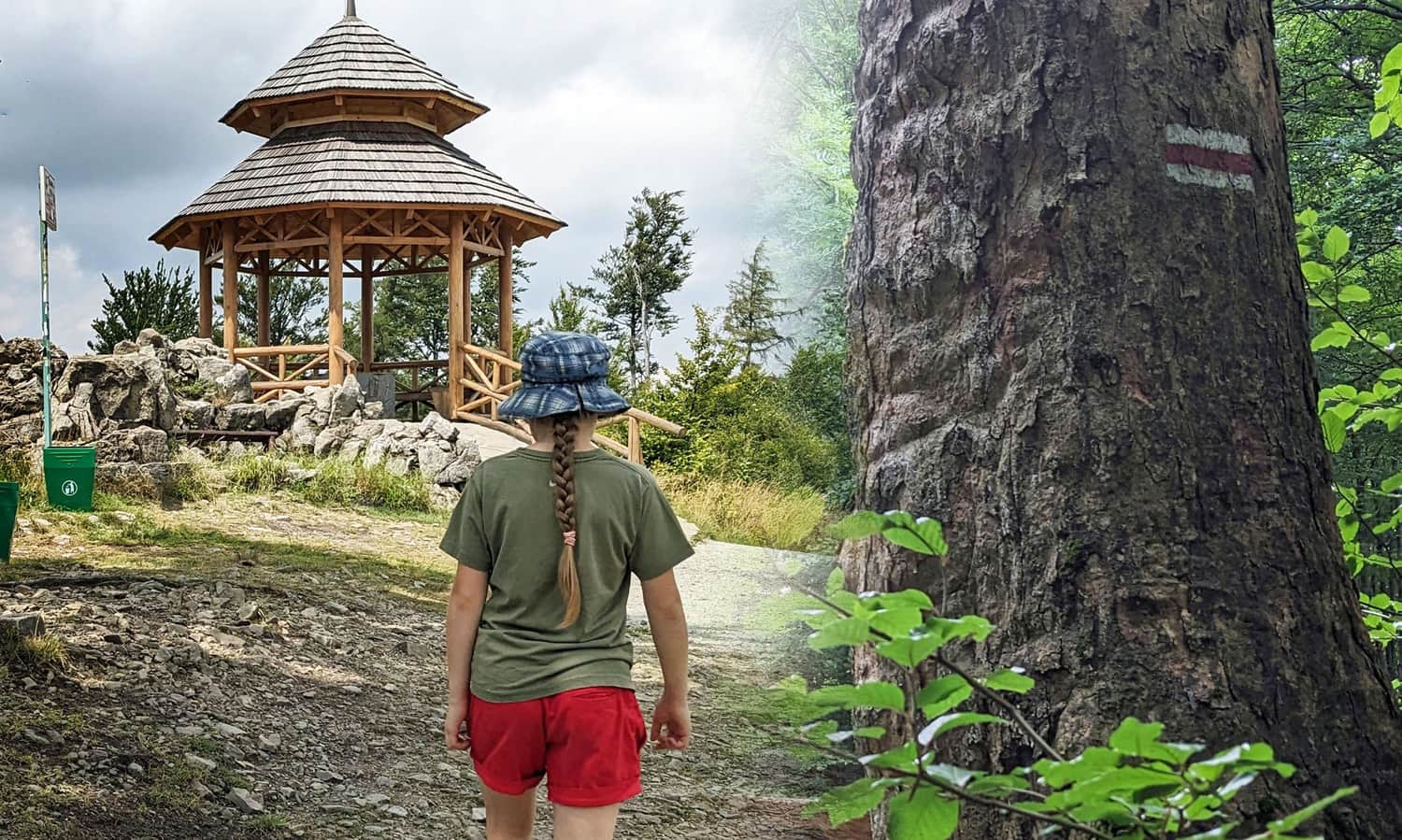
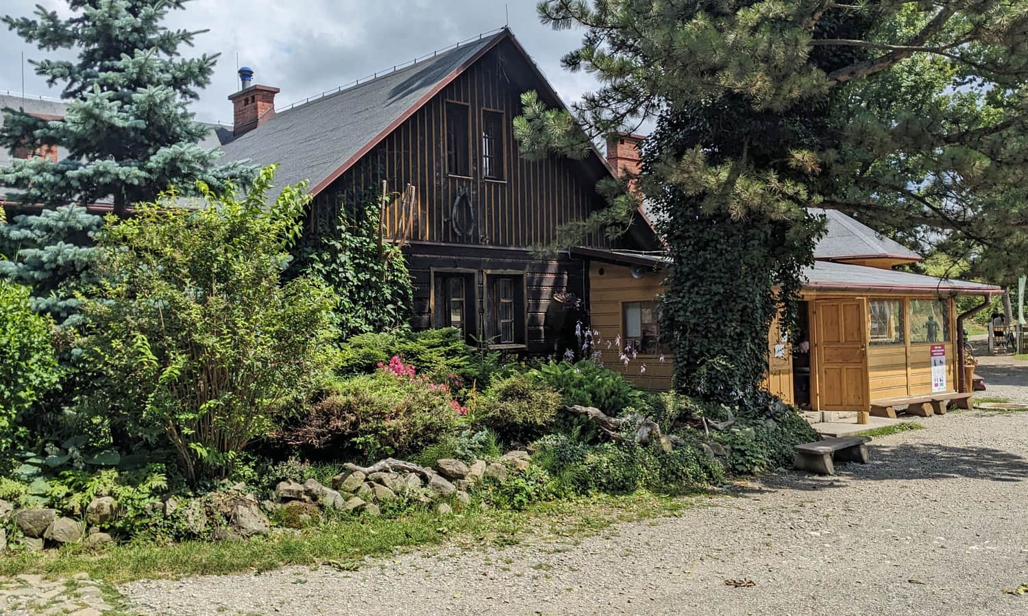
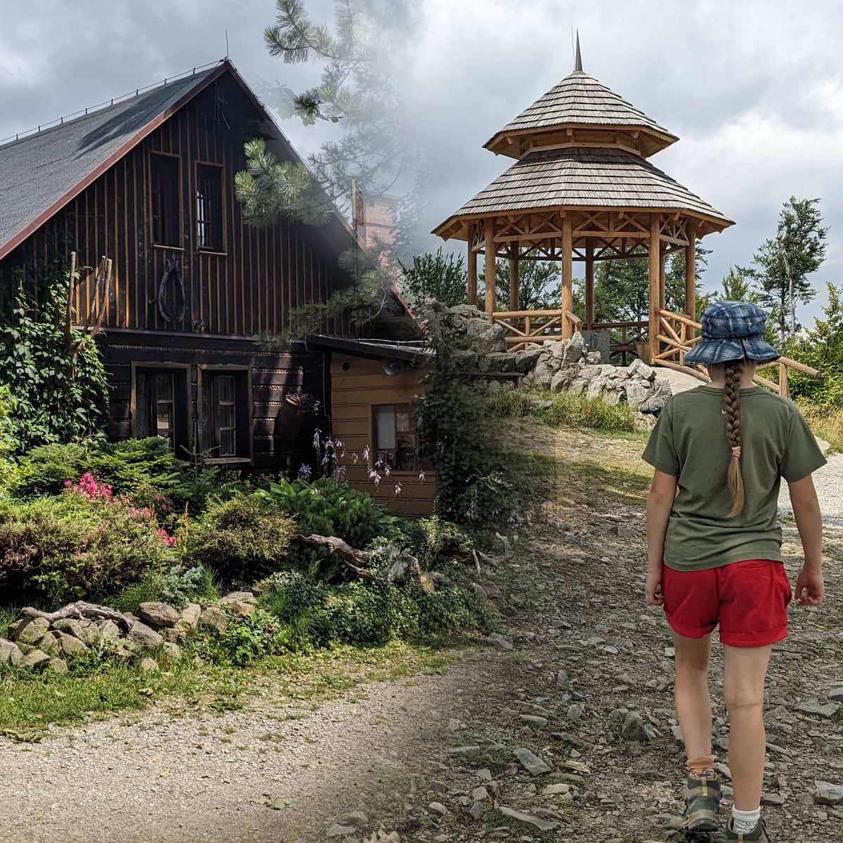
Stefanka Shelter and Kozia Góra Peak, 683 meters above sea level
The shelter, with a snack bar, a large picnic meadow, and a pretty big playground, is located just below the peak of Kozia Góra.
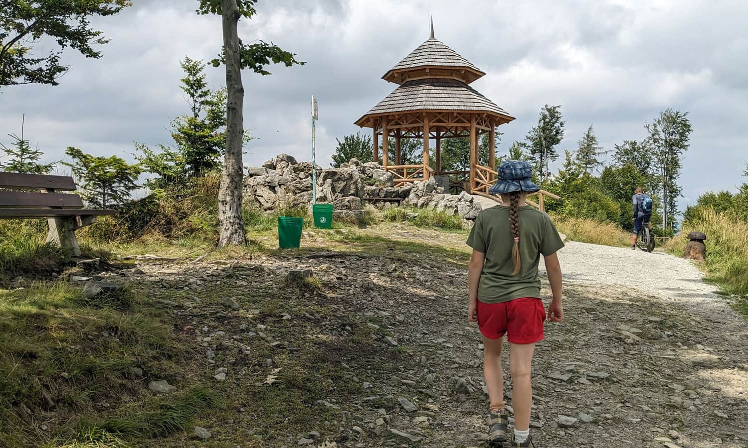
From the shelter, continue on the blue trail to reach the scenic gazebo at the top in just a few minutes.
Read more about the Stefanka Shelter and other trails to Kozia Góra here:
Kozia Góra: Stefanka Lodge, trails, attractions, views
Kozia Góra and Stefanka Lodge is an easy-to-reach and attractive place for hikers of all ages. After a short and easy walk through the forest, you reach the lodge with a large playground and picnic meadow. Which trail should you choose and what attractions await you here? ...

More in the Region Beskid Śląski (Silesian Beskid)


