
check_circle In a room
check_circle Restaurant or bar nearby
check_circle Restroom available
check_circle Baby changing table
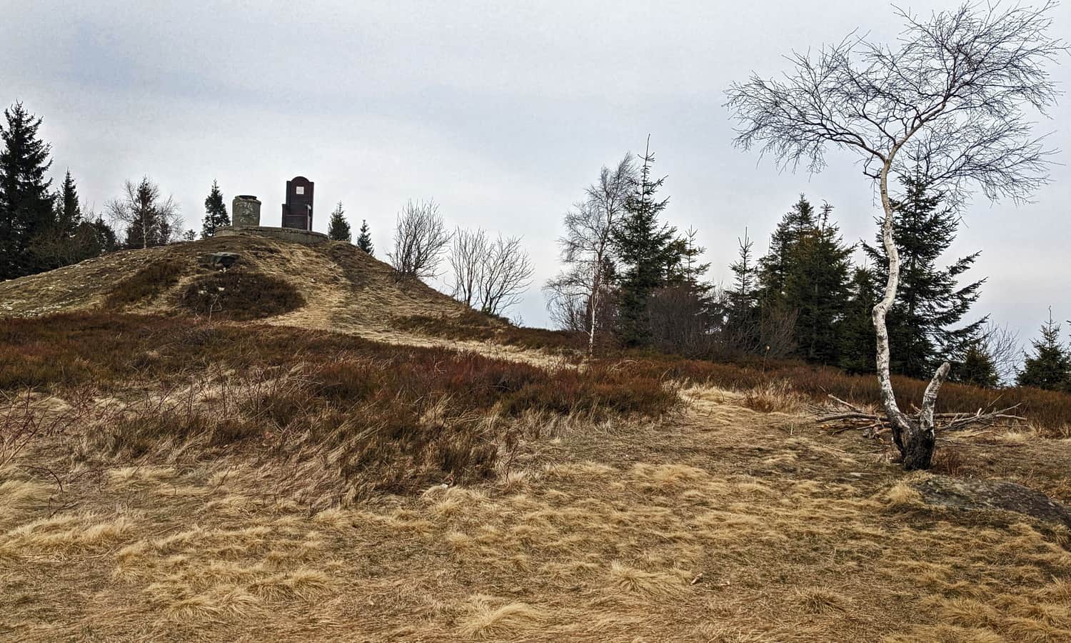
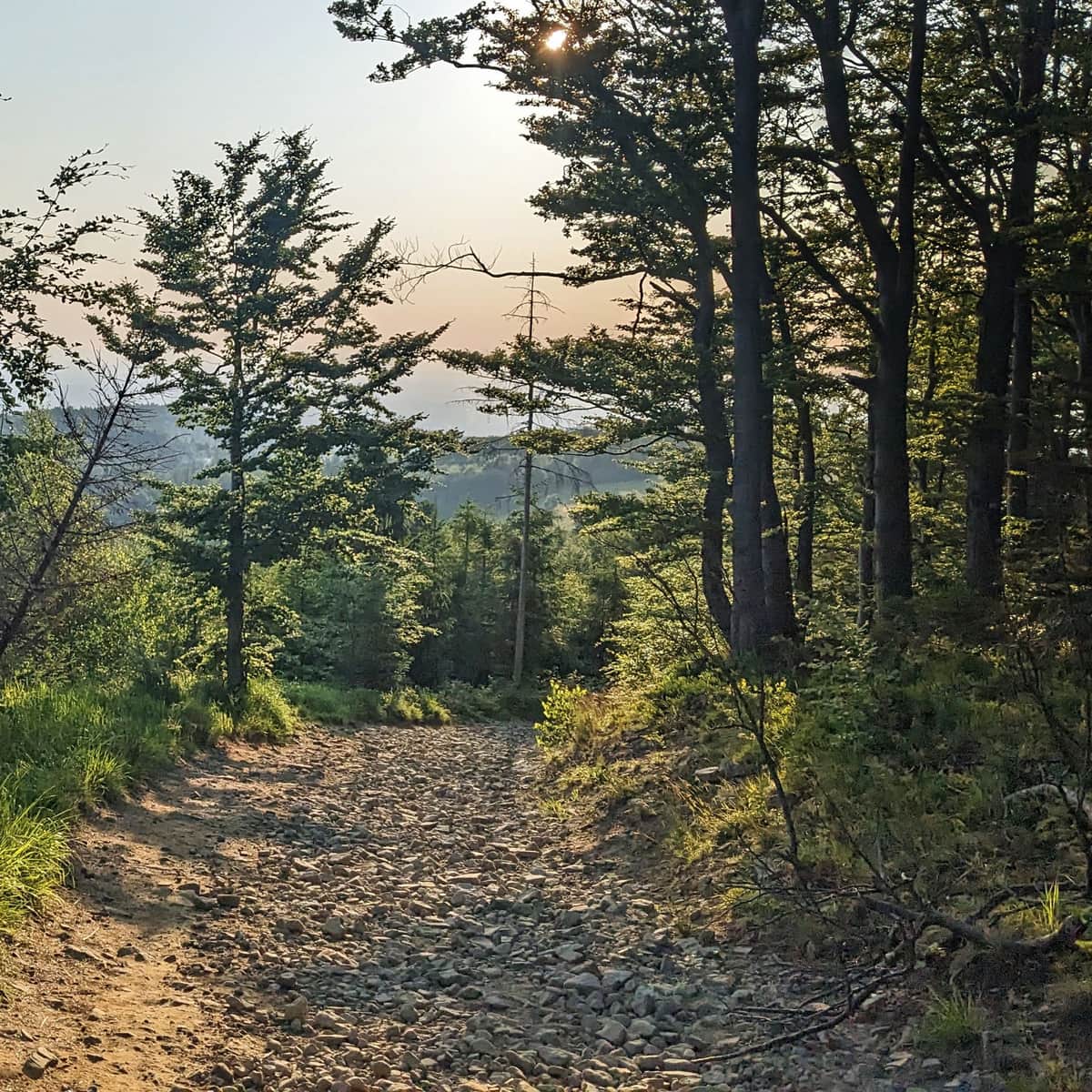
Błatnia (917 meters above sea level) is a not very prominent but scenic peak in the northern part of the Silesian Beskids. It's easy to reach, has many trails, and you can rest at a cozy mountain shelter, making Błatnia a popular hiking destination.
Błatnia or Błotny?
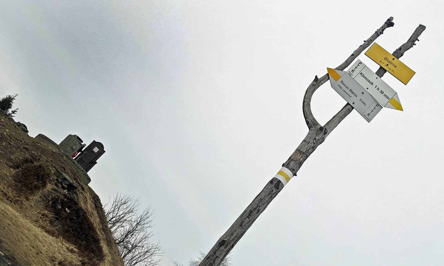
On maps, you might find two names for the peak: Błatnia or Błotny. The name "Błotny" is said to be older and historical, but locals often call the peak "Błotnio". Currently, the name "Błatnia" is on trail signs, at the shelter, and at the peak itself.
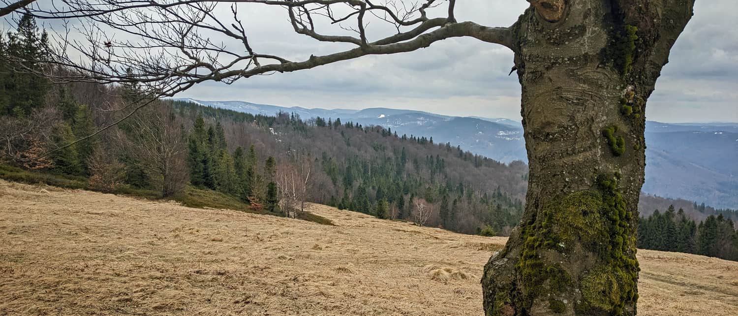
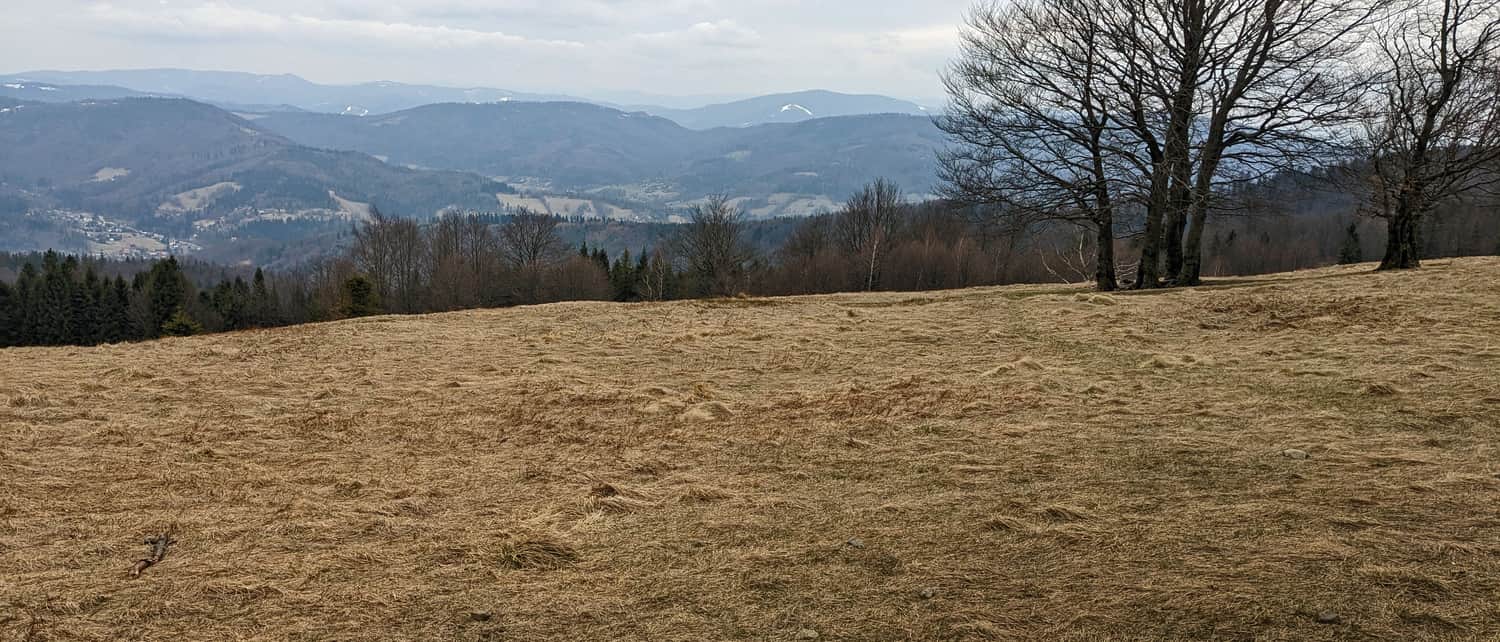
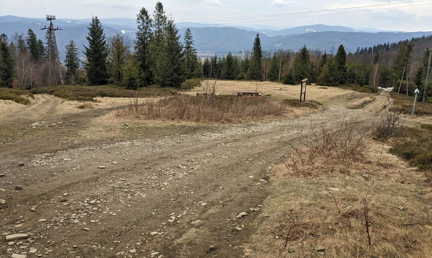
Błatnia, 917 meters above sea level - Scenic Meadows at the Top
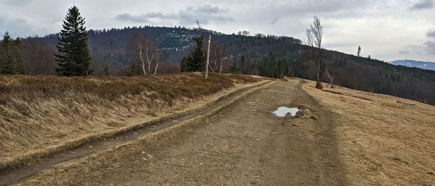
A big plus of the low Błatnia peak is the wide and very scenic meadows. On a clear day, you can see not only Skrzyczne, Malinowska Skała, Barania Góra, Stożek, Czantoria, and Równica, but also further peaks like Wielka Racza in the Żywiec Beskids, Slovak peaks like Wielki Krywań and Wielka Luka from the Little Fatra, and Czech peaks of the Silesian-Moravian Beskids.
Another attraction of Błatnia is the chance to rest on a big wooden throne (though a picnic on the meadow might be more comfortable and just as photogenic).
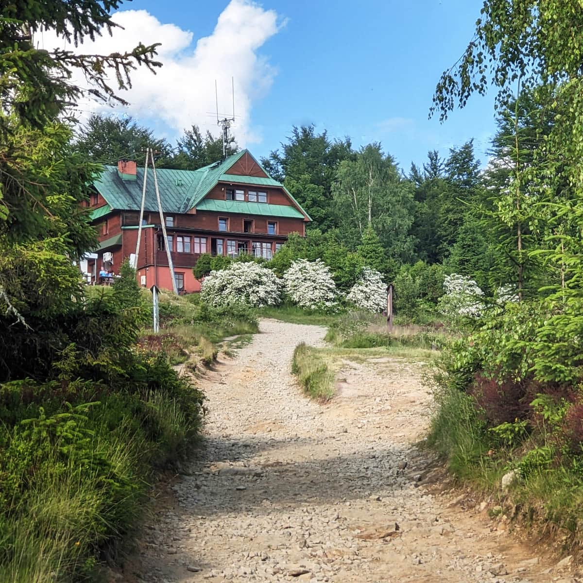
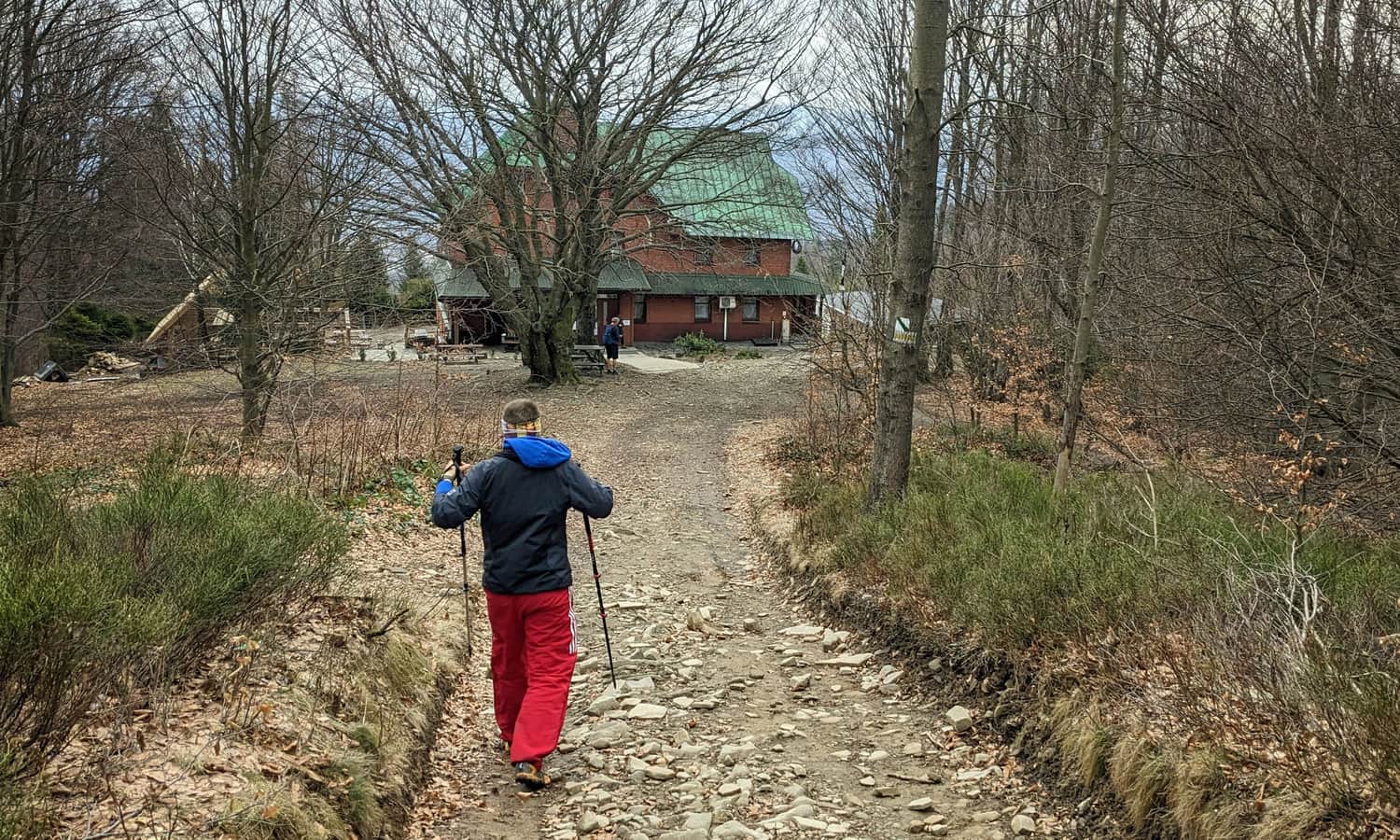
PTTK Shelter on Błatnia
Just about 200 meters from the top of Błatnia is a small but charming PTTK Shelter. Did you know that the first tourist base here was built almost 100 years ago? Today, you can rest, eat, buy souvenirs, and of course, stay overnight (it's best to book in advance). There's a baby changing station in the restroom.
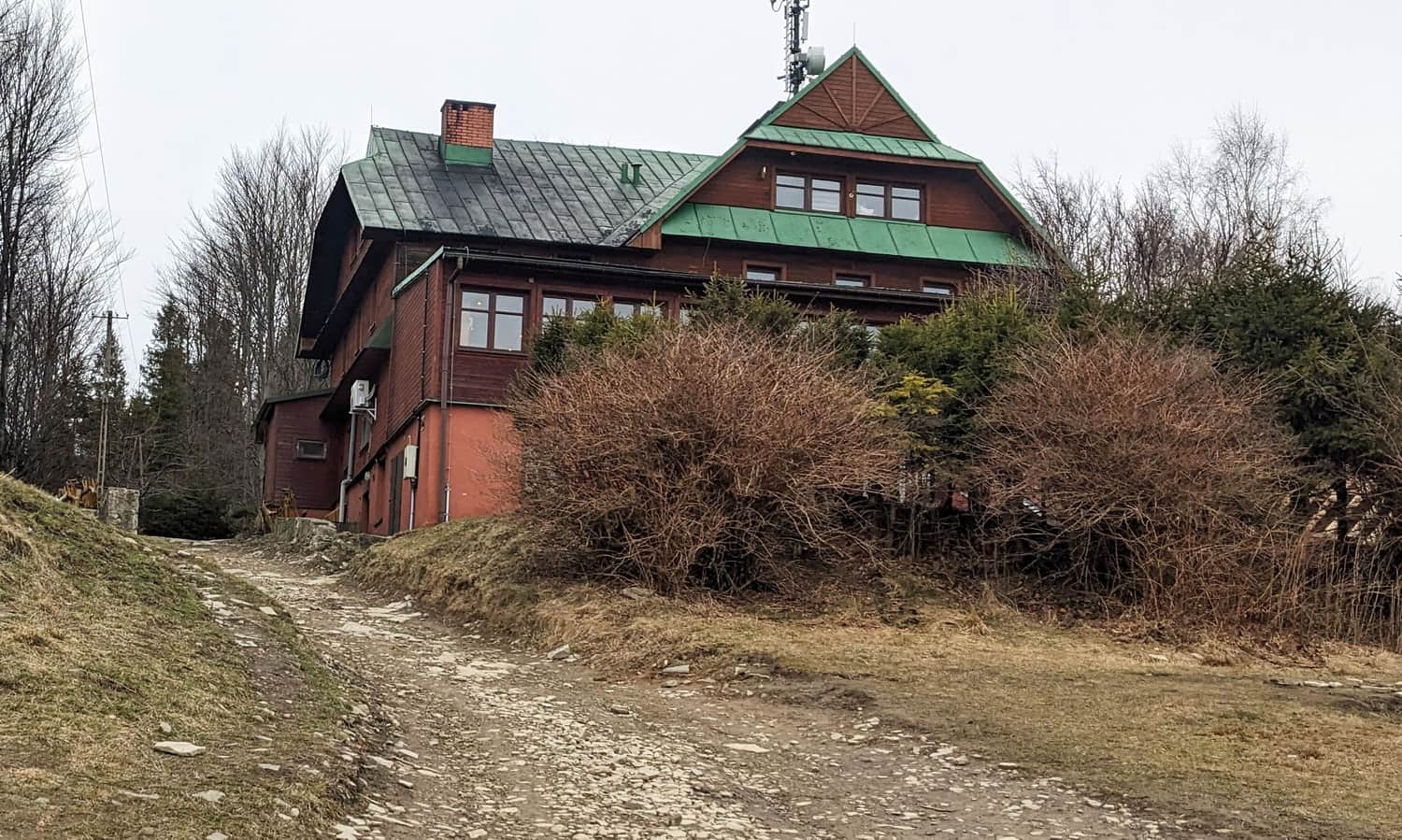
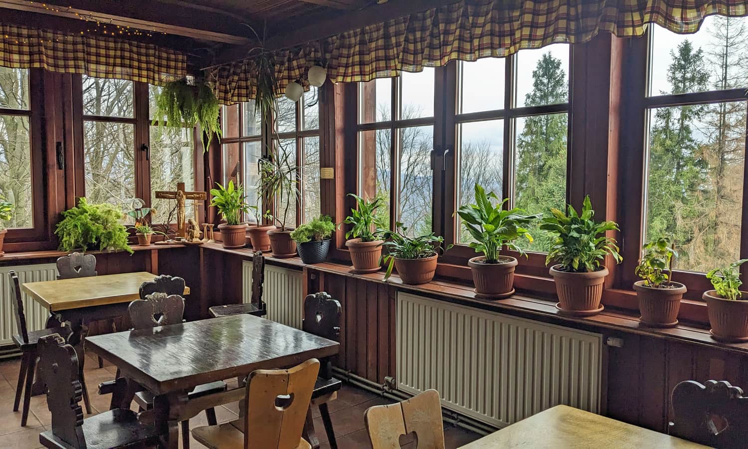
Even though the shelter is below the peak, there's also a scenic meadow here with a view to the southwest, and many benches, tables, and spots for a picnic blanket!
How to Get to Błatnia?
So, how do you get to Błatnia: both to the peak and scenic meadows, and to the PTTK Shelter on Błatnia?
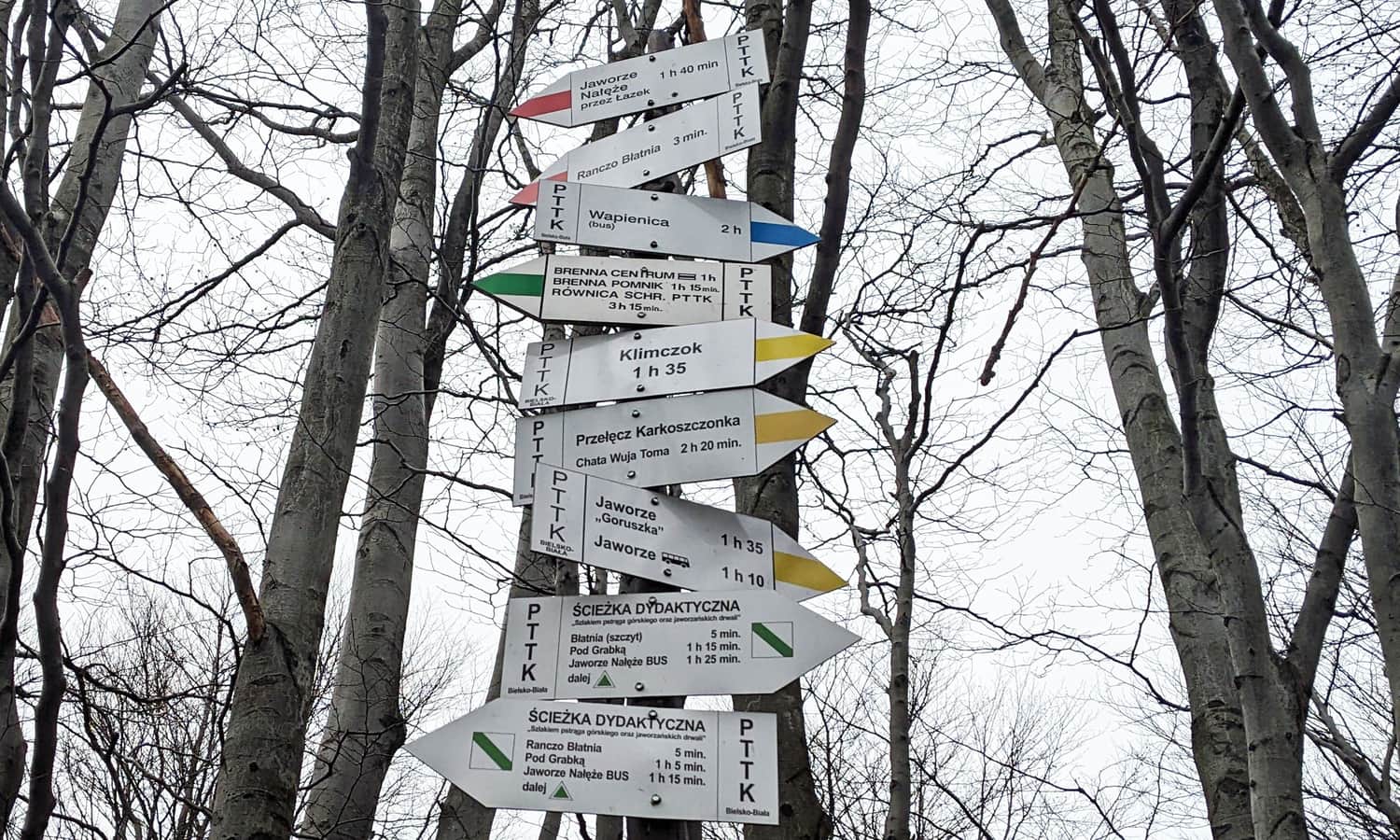
Easiest Trail to Błatnia
While not the shortest, the easiest way to Błatnia is from the upper station of the gondola lift to Szyndzielnia. After reaching the upper station, you actually "descend" to the top of Błatnia. There are only short uphill sections before the peaks of Trzy Kopce and Stołowa (a total of about 200 meters elevation gain).
Medium
From Szyndzielnia to Błatnia

Shortest Trail to Błatnia
The shortest way to the top of Błatnia is the yellow trail from the parking lot on Turystyczna Street in Jaworze (Jaworze Górne bus stop). It's just 4 km to walk, with a 440-meter elevation gain, taking about 1 hour and 45 minutes one way.
Other Trails to Błatnia
- From Brenna, green (or black + green) trail: 5 km, 500 meters elevation gain - about 2 hours one way.
- Educational path from Jaworze Nałęże bus stop/parking: 4.5 km, 460 meters elevation gain - about 2 hours one way.
- Blue trail from Wapienica Zapora bus stop: 6.5 km, 530 meters elevation gain - about 2 hours and 40 minutes one way.
- From the center of Szczyrk: first yellow to Chata Wuja Toma, then St. Jacob's Road to the yellow trail: 8 km, 675 meters elevation gain - about 3 hours one way.
- From Górki Wielkie, green + red trail: 9 km, 675 meters elevation gain - about 3.5 hours one way.
- Yellow trail from the parking lot on Tartaczna Street in Wapienica through Szyndzielnia and Klimczok: 12 km, 770 meters elevation gain - about 4 hours one way.

Publish Date:
Last Updated:
More in the Region Beskid Śląski (Silesian Beskid)


