
Stożek Wielki - All Trails to the Summit, Shelter, and Views
Turystyczna 1943-460 Wisła
check_circle Sloping terrain
check_circle Restaurant or bar nearby
check_circle Restroom available
Stożek Wielki (978 meters above sea level) is a popular hiking destination in the Silesian Beskids, a mountain range in Poland. It's a beautiful spot to watch the sunrise and sunset. Which trail should you choose to reach Stożek Wielki, and what views and attractions await you?
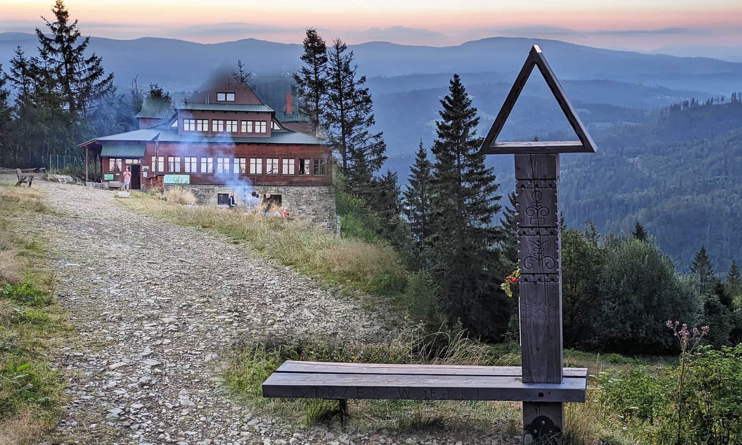
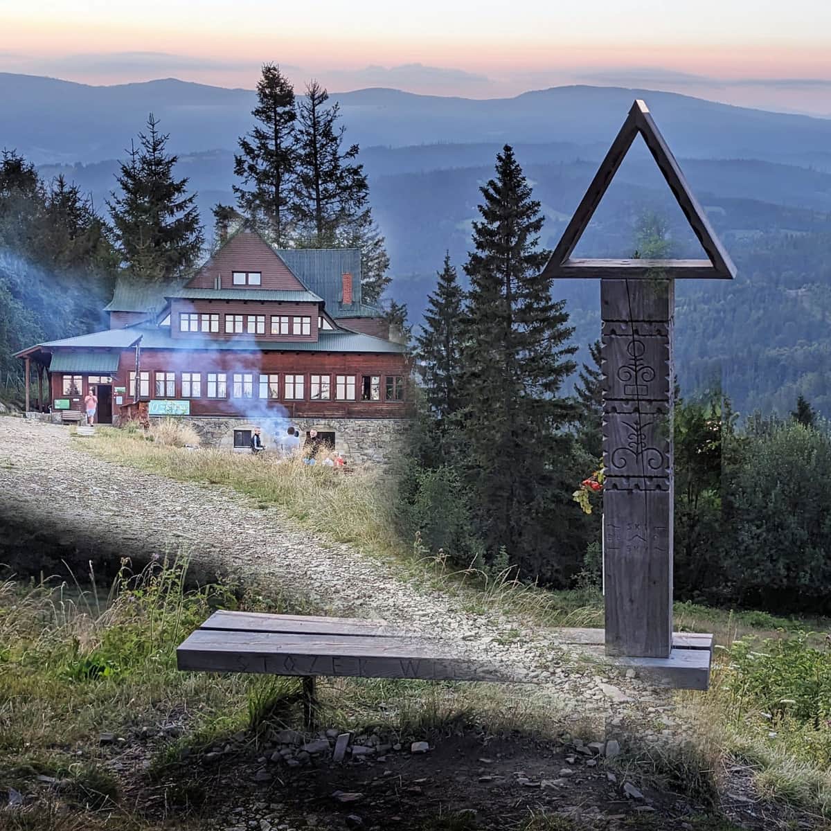
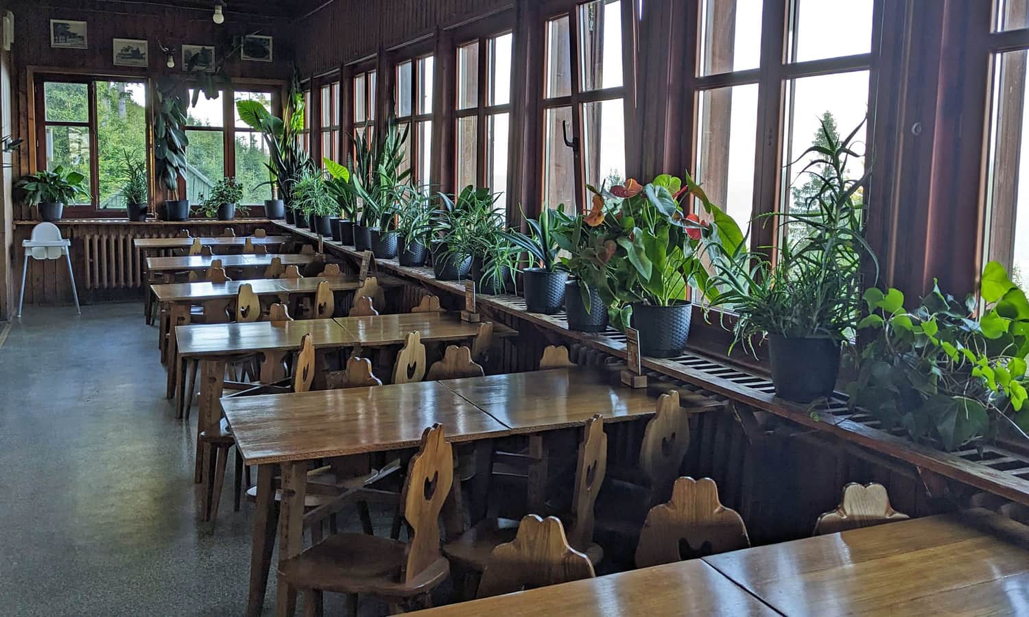
PTTK Stożek Shelter - Attractions and Views
What should you know about the shelter near the top of Stożek Wielki? What secrets does this place hold, and what attractions can you find here?
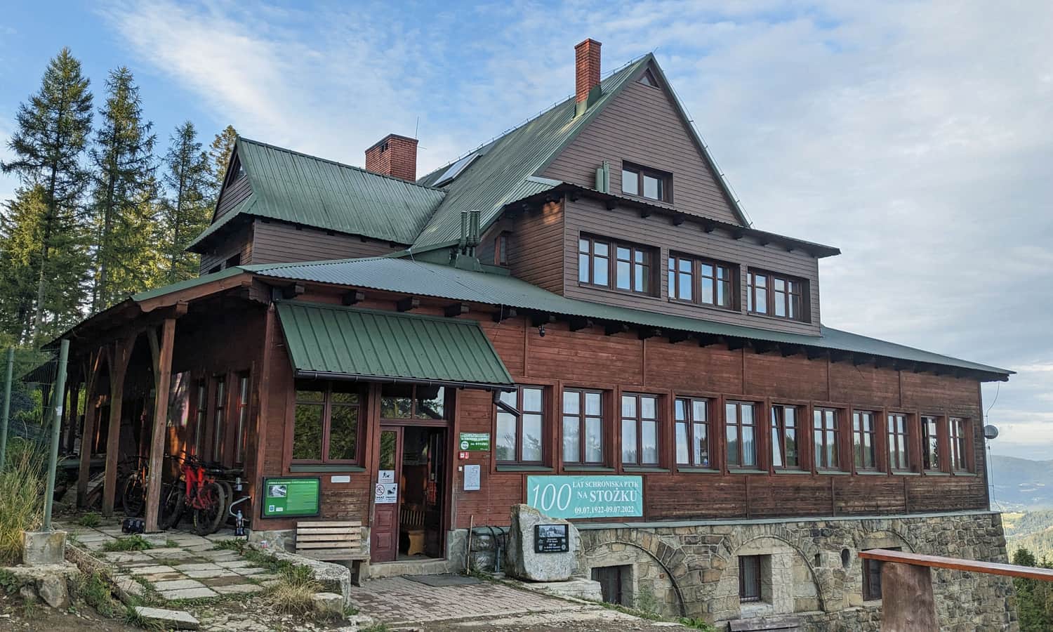
Interesting Facts about the PTTK Shelter on Stożek Wielki
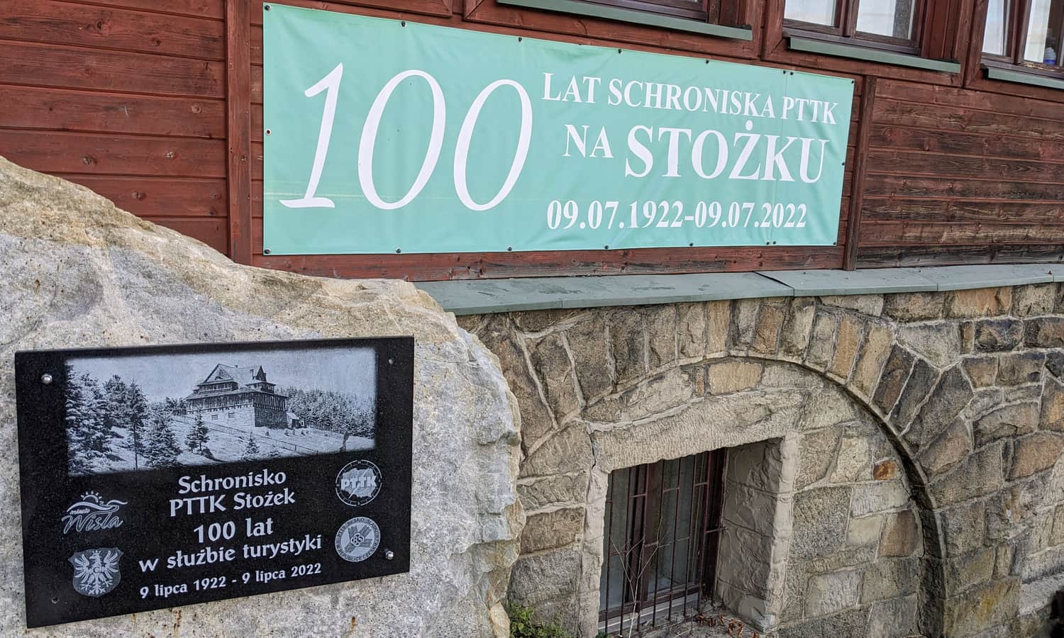
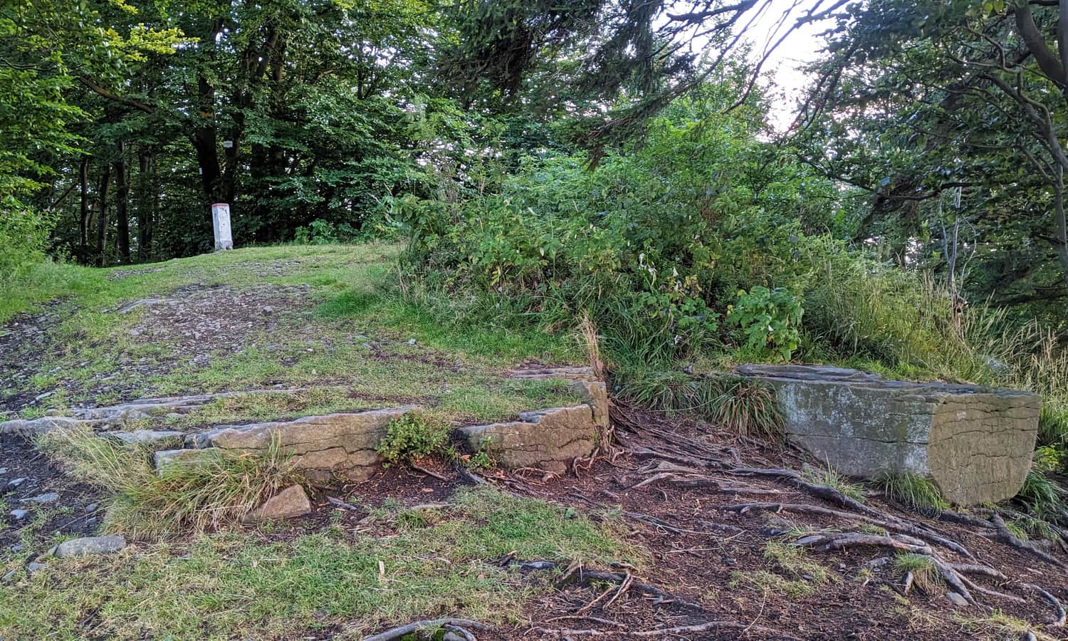
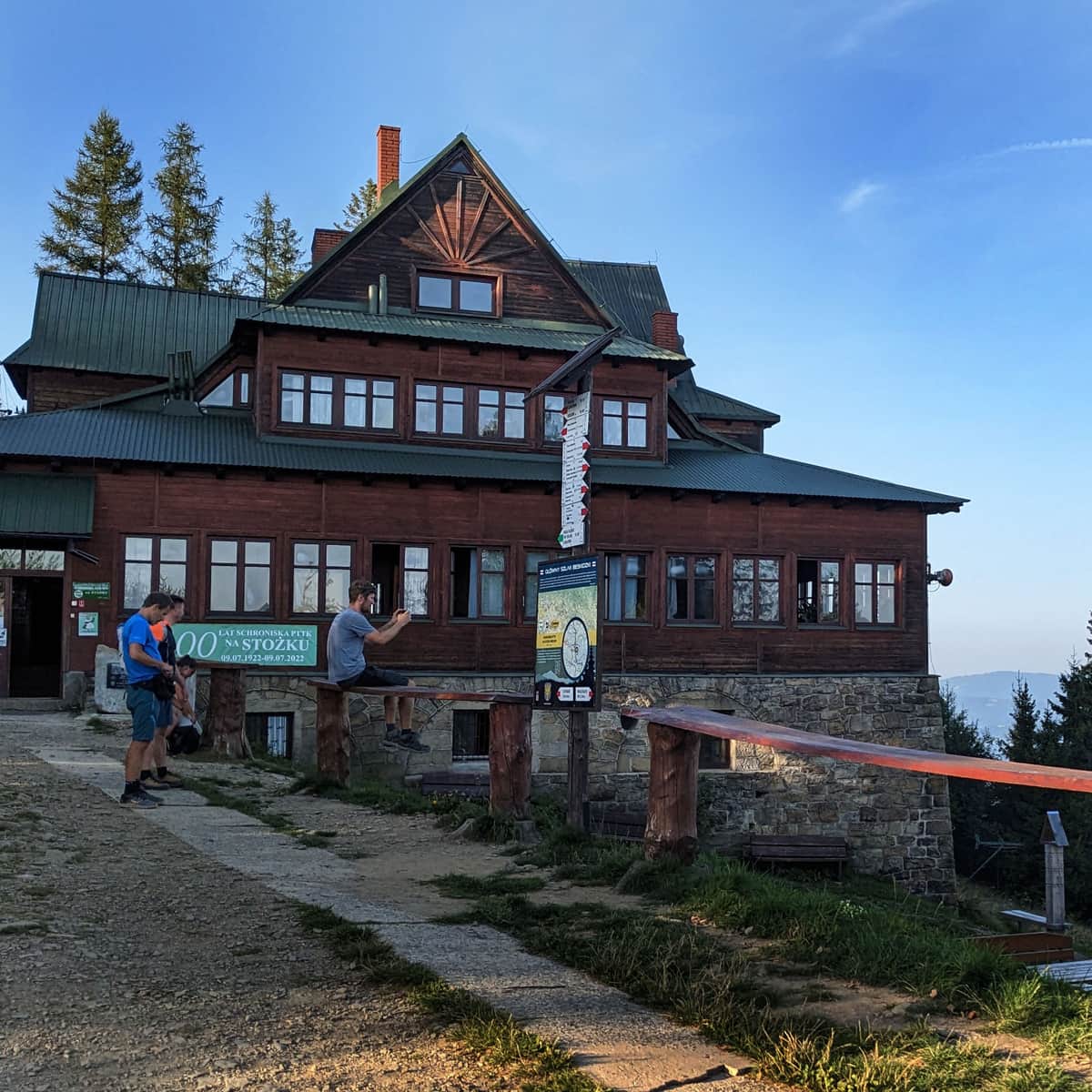
Did you know that the shelter on Stożek Wielki is the oldest Polish shelter in the Silesian Beskids? The idea to build it came right after World War I, and it was completed after the Polish-Czechoslovak border was finalized in 1920. The official opening was on July 9, 1922.
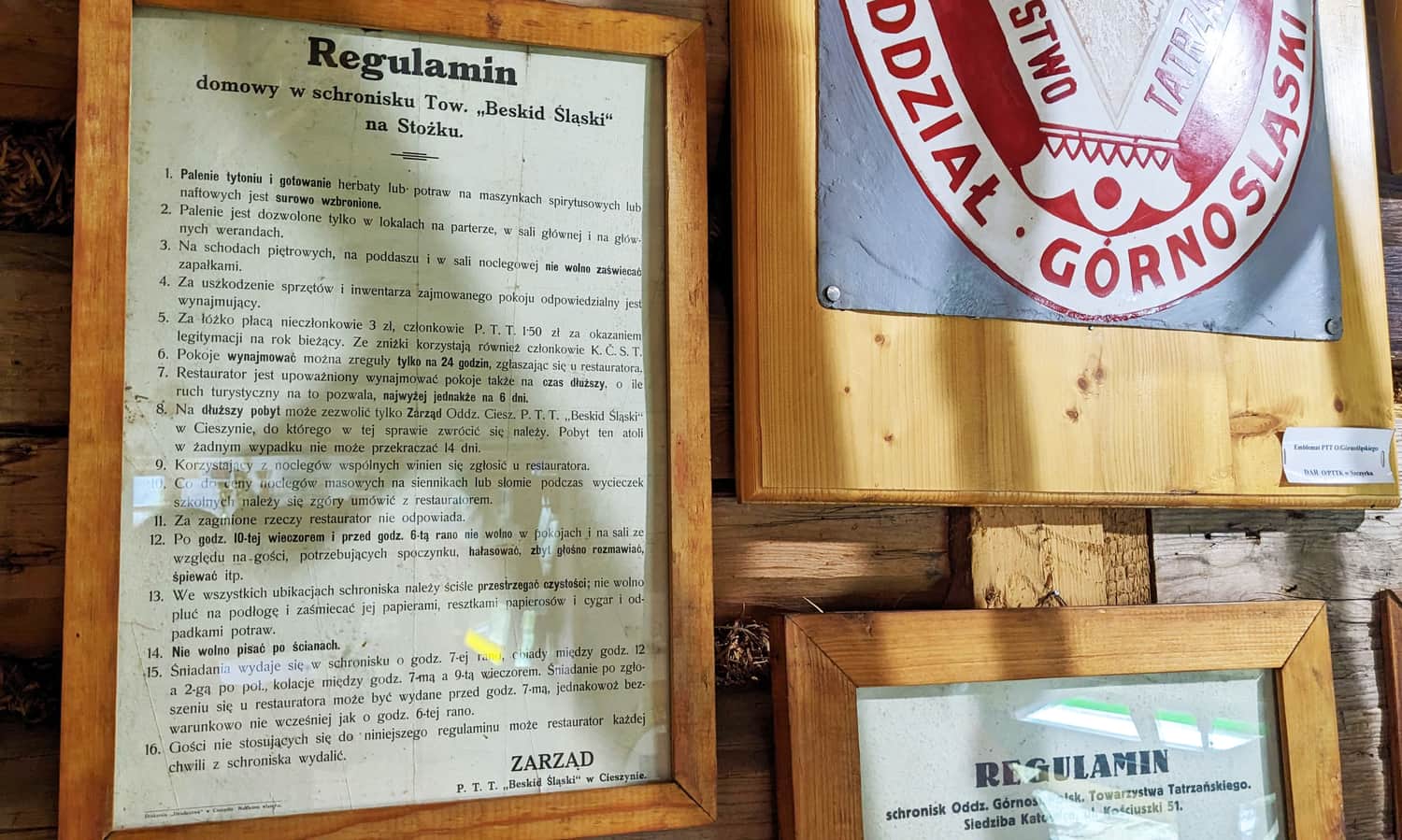
In the museum at the PTTK Shelter on Przysłop under Barania Góra, you can find the regulations of the pre-war shelter:
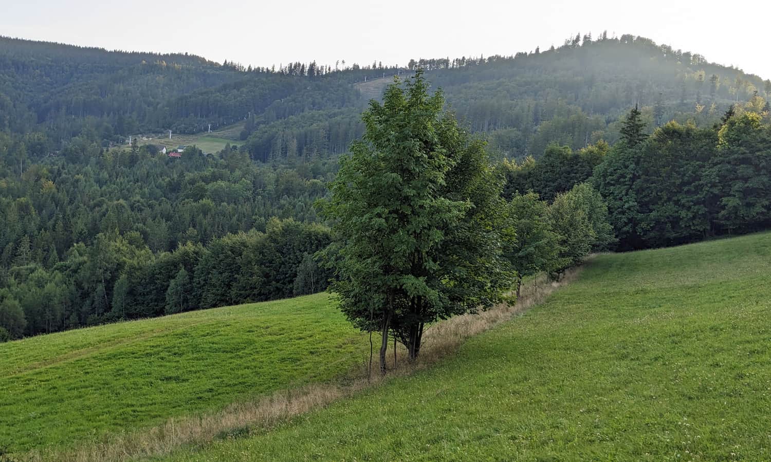
Views from Stożek Wielki
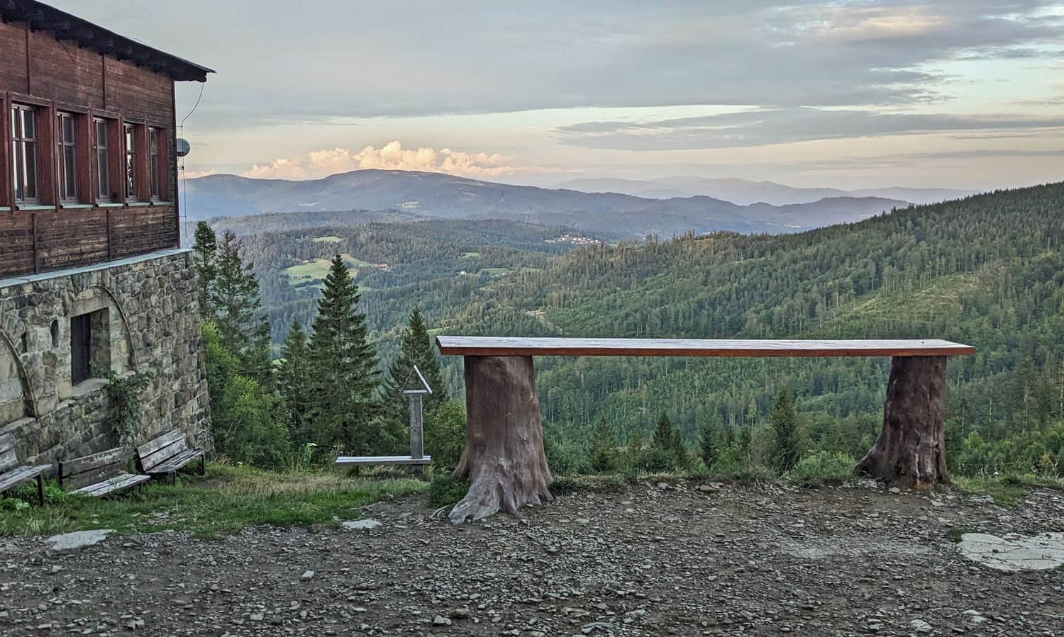
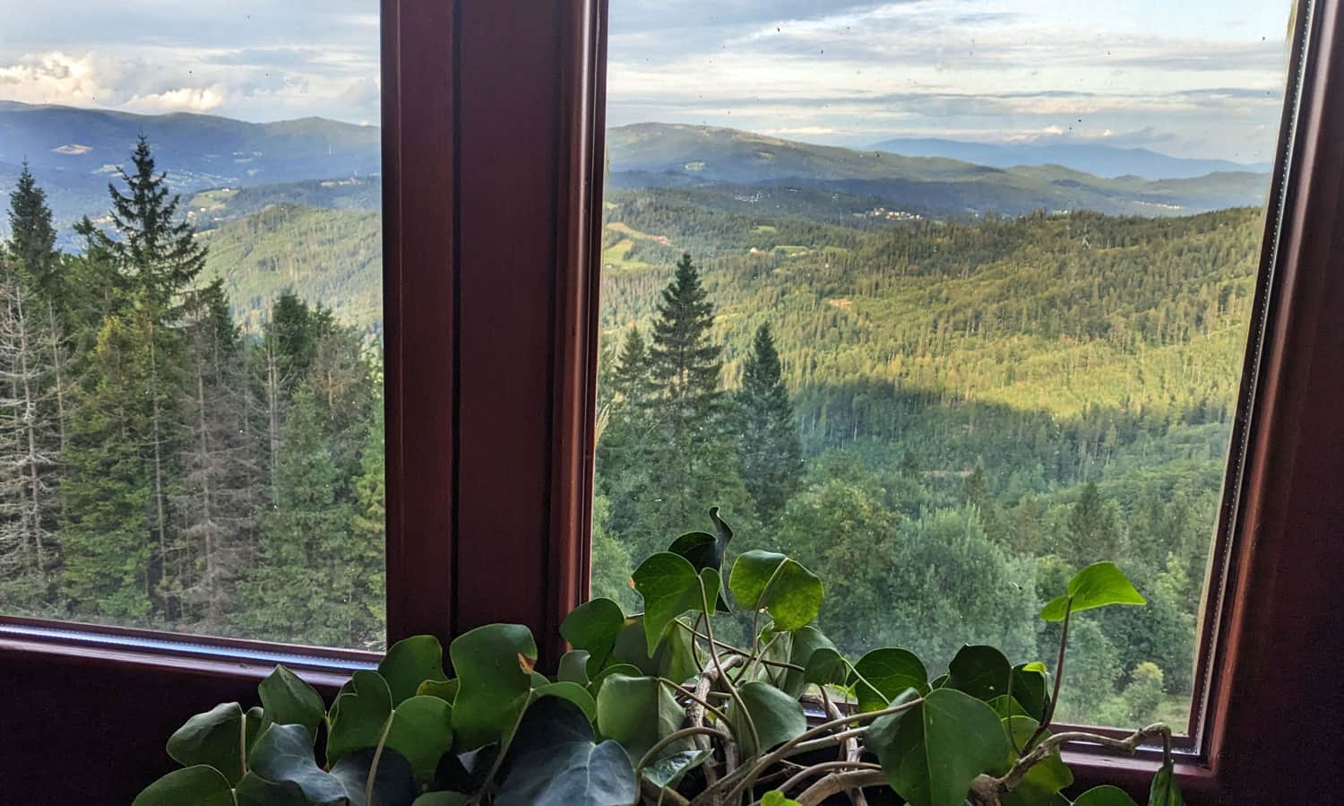
From the clearing where the PTTK Stożek Shelter is located, you can see eastward, mainly towards the neighboring Wiślańskie Range with Barania Góra as the main feature. On a clear day, you can also see the Tatra Mountains on the horizon.
Sunrise on Stożek Wielki
The panorama from Stożek is most beautiful at dawn. Thanks to the shelter's location, many guests staying overnight can enjoy the sunrise over the mountains right from their room, without leaving the warmth of their bed!
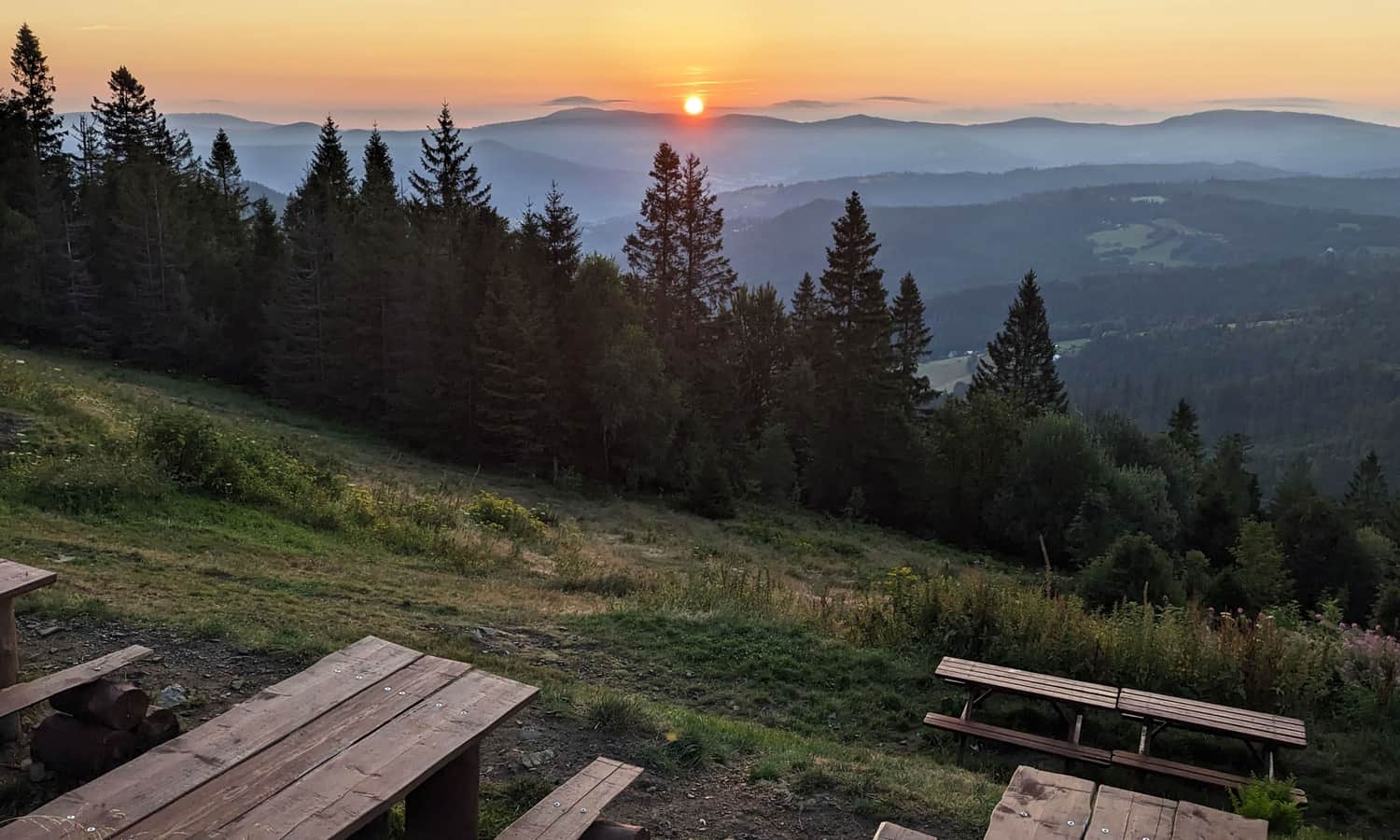
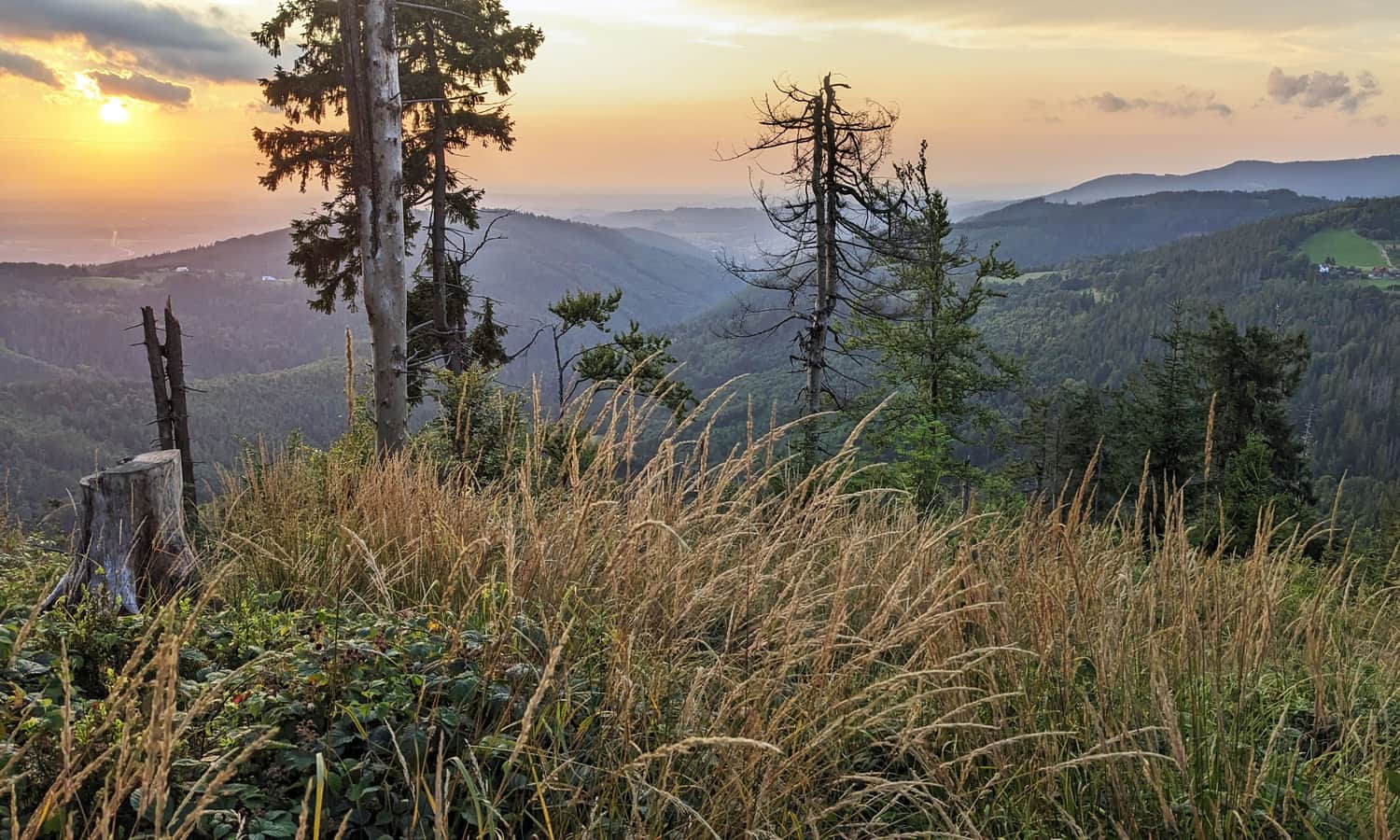
Sunset at the Summit of Stożek Wielki
To see the sunset on Stożek Wielki, you need to walk from the shelter to the summit, following an unmarked path to the wooded peak.
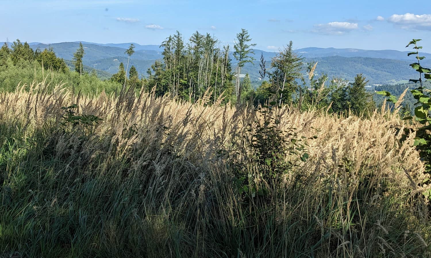
Just below the summit, on the northern slopes, the forest thins out, offering the best view not only of the dominant Wielka Czantoria but also of the sun setting over the Olza Valley:
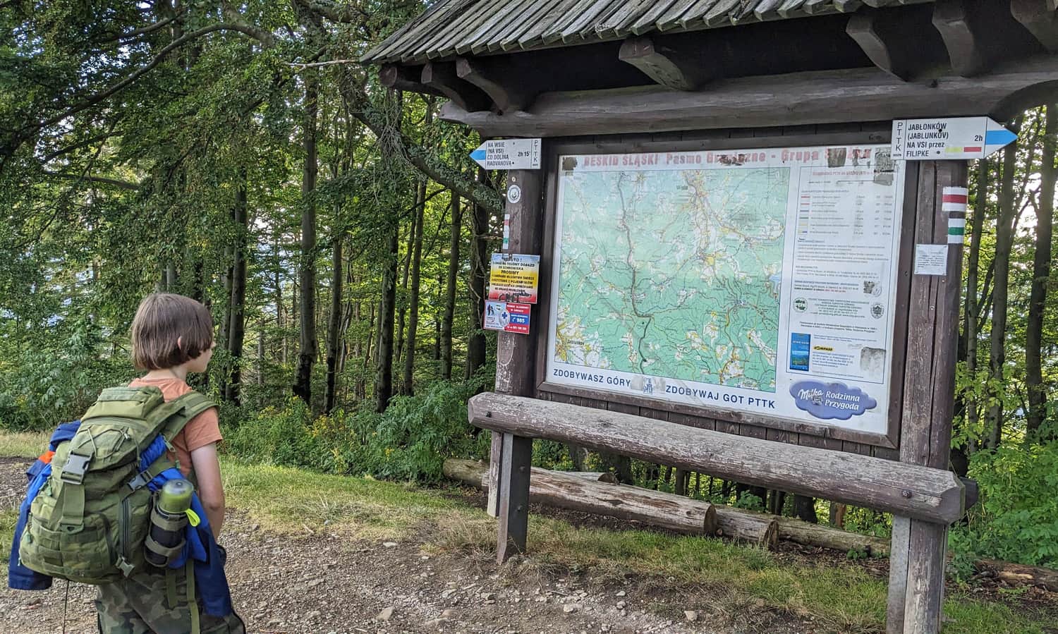
All Trails to Stożek Wielki
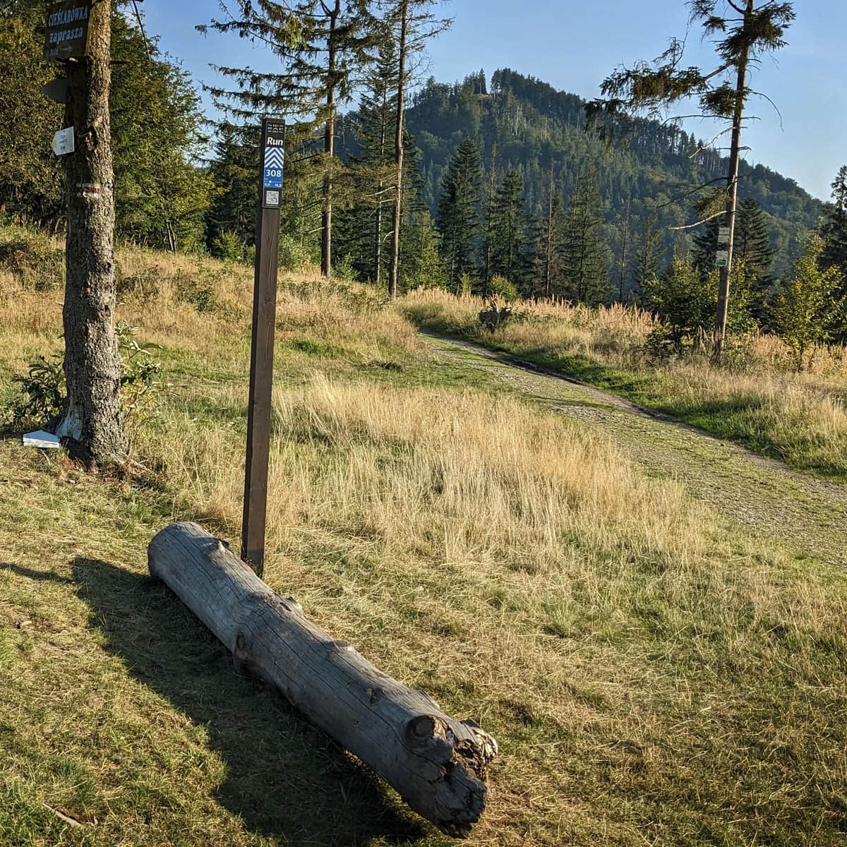
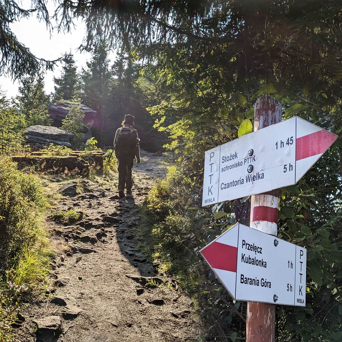
Near the summit of Stożek Wielki, right by the shelter, there are two long-distance hiking trails: the red Main Beskid Trail and the green trail, which connects the peaks of the Little and Silesian Beskids in a long loop, including Magurka Wilkowicka, Skrzyczne, Malinowska Skała, Barania Góra, and Stożek Wielki.
Chairlift to Stożek Wielki
The easiest and quickest way to reach the shelter on Stożek Wielki is by taking the chairlift in Wisła Łabajów (parking at the lower station). From the upper station, it's only about a 300-meter walk to the shelter on a straightforward path.
Note! The chairlift operates year-round but not every day - outside the ski season, it usually runs on weekends or by phone appointment for groups (phone number: 602690584, current lift operation information: stozekwisla.pl >>>)
Easiest and Quickest Route from Stożek Mały Settlement to Stożek Wielki
On foot, the easiest and quickest way to reach Stożek Wielki is from the Stożek Mały settlement. It's only a 1.5 km walk with a 150-meter elevation gain (about 30-40 minutes).
Unfortunately, there is no designated parking here. You can use this route if you are staying overnight at one of the local farm stays, arrive by bike, or if someone drops you off by car and then parks in Wisła.
Scenic Trail to Stożek Wielki
Without significant elevation changes, but with beautiful views along the way, you can reach Stożek Wielki by hiking along the ridge from Czantoria and Soszów (you can take a year-round chairlift to both Soszów Wielki and Czantoria Wielka).
Medium
Walking along the ridge: Czantoria - Soszów - Stożek

From Wisła to Stożek Wielki
The most popular hiking trails to the summit of Stożek Wielki start from Wisła. You have several routes to choose from:
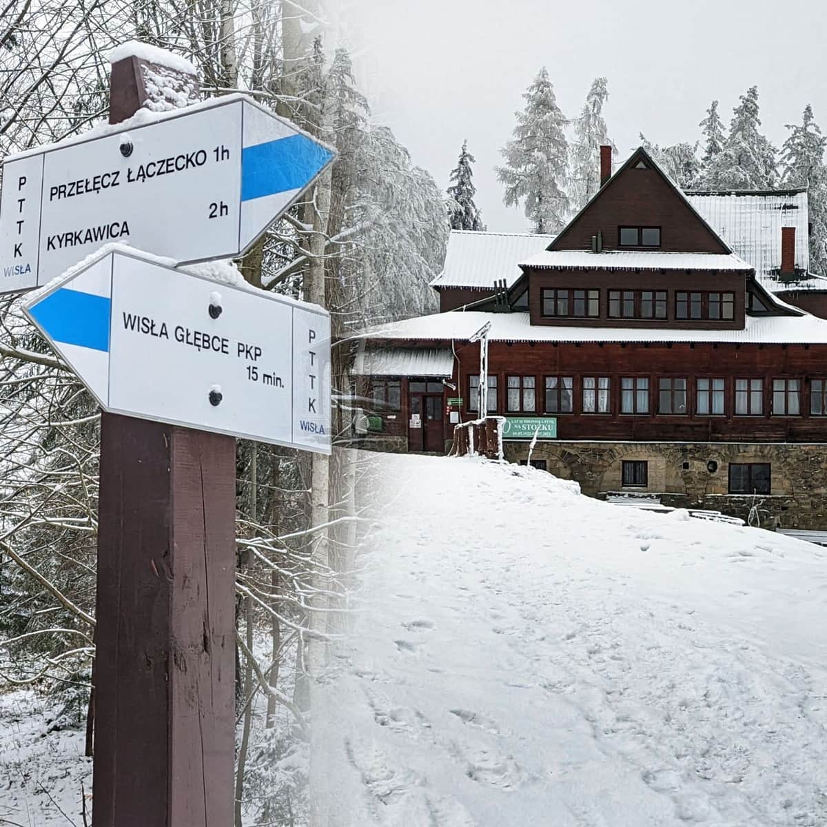
* Blue trail from PKP Wisła Głębce through Przełęcz Łączecko: 7 km, 470 meters elevation gain, about 2:30 hours one way
Medium
Blue Trail to Stożek from Wisła Głębce - Winter

*Yellow trail from PKP Wisła Dziechcinka: 7 km, 470 meters elevation gain, about 2:45 hours one way
*Blue + yellow trail from PKP Wisła Dziechcinka: 8.5 km, 630 meters elevation gain, about 3:15 hours one way
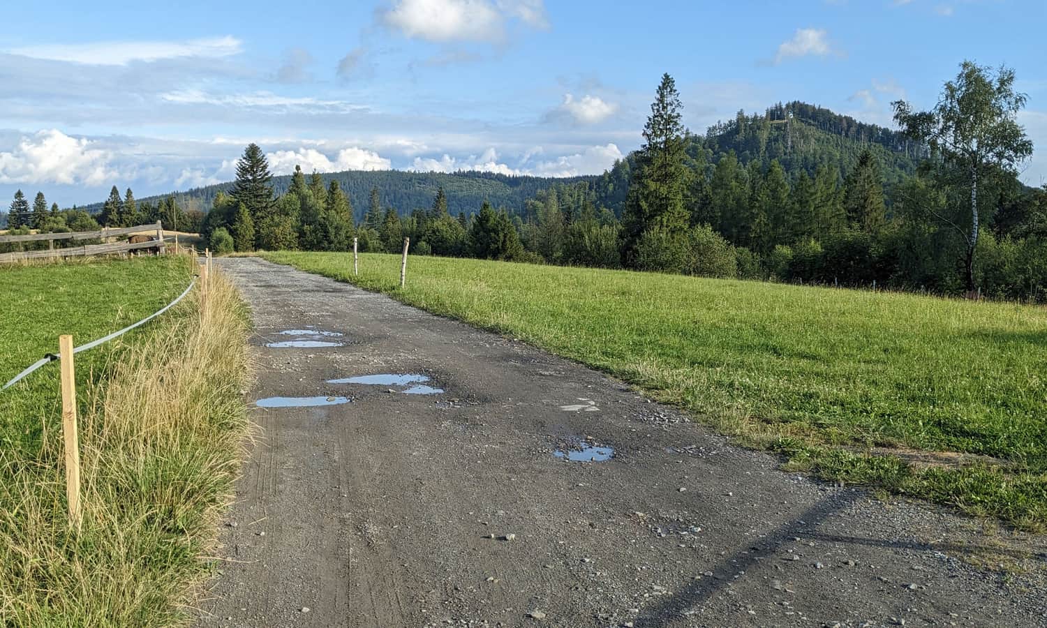
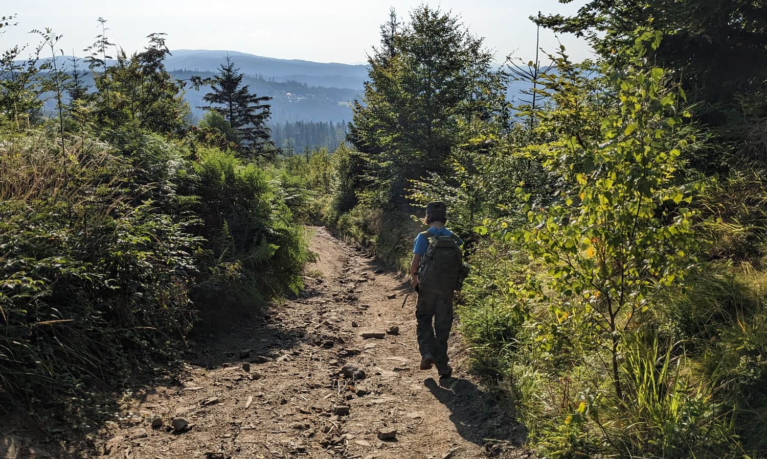
*Shortest, easiest, and quickest trail from Wisła to Stożek Wielki, the green trail from Wisła Łabajów: 2.5 km, 360 meters elevation gain, about 1:30 hours one way
Medium
Green trail Wisła Łabajów - Stożek Wielki

From Przełęcz Kubalonka to Stożek Wielki
This route is more challenging but offers several viewpoints and interesting rock formations along the way:
Medium
From Kubalonka Pass to Stożek Wielki

From Istebna to Stożek Wielki
Another route to the summit of Stożek Wielki leads from Istebna. The entire green trail from the town center is 7.5 km, with a 480-meter elevation gain, taking about 2:45 hours one way.
To Stożek Wielki from the Czech Republic
You can also reach the border summit of Stożek Wielki from the Czech side, for example, from the town of Jablunkov (via blue or yellow trails) and from the town of Bukovec (red + blue trail).

More in the Region Beskid Śląski (Silesian Beskid)


