
Green trail Wisła Łabajów - Stożek Wielki
beach_access Route in the shade
restaurant Restaurant or bar nearby
directions_car Access by car
train Access by train possible
wc Toilet along the route
The green trail from Wisła Łabajów is one of the shortest and most popular routes to the peak of Stożek Wielki (979 m above sea level) and to the PTTK shelter located just below it, which has a history of over 100 years.
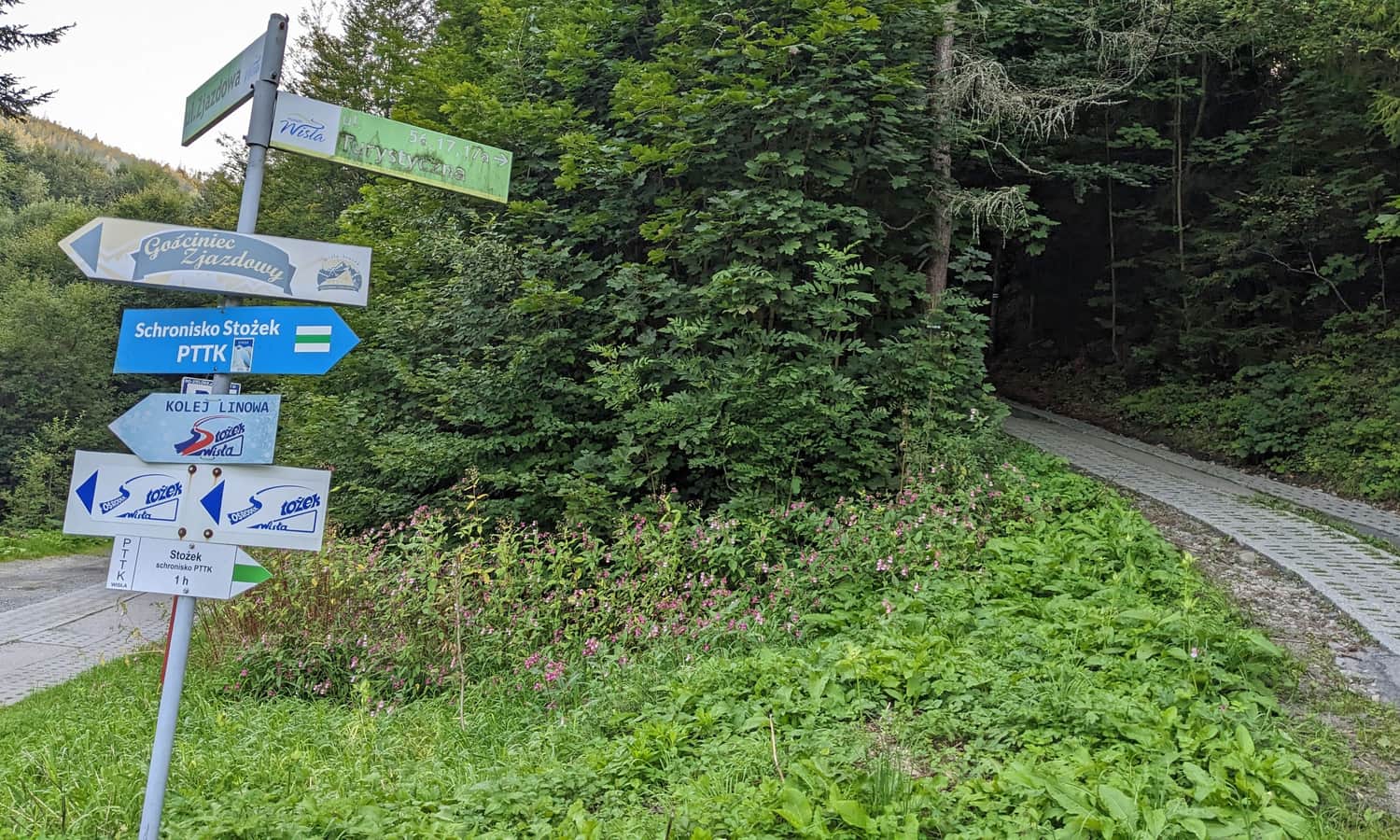
Start of the green trail Wisła - Stożek Wielki
The green trail to Stożek Wielki starts from the PKP Wisła Głębce station, which is the final station of the railway line running through the upper Wisła valley. The first 3 km of the route is an asphalt road, so it's worth shortening this section if possible by driving or taking a bus to the edge of the forest. There is a large parking lot where the trail turns off the road into the forest.
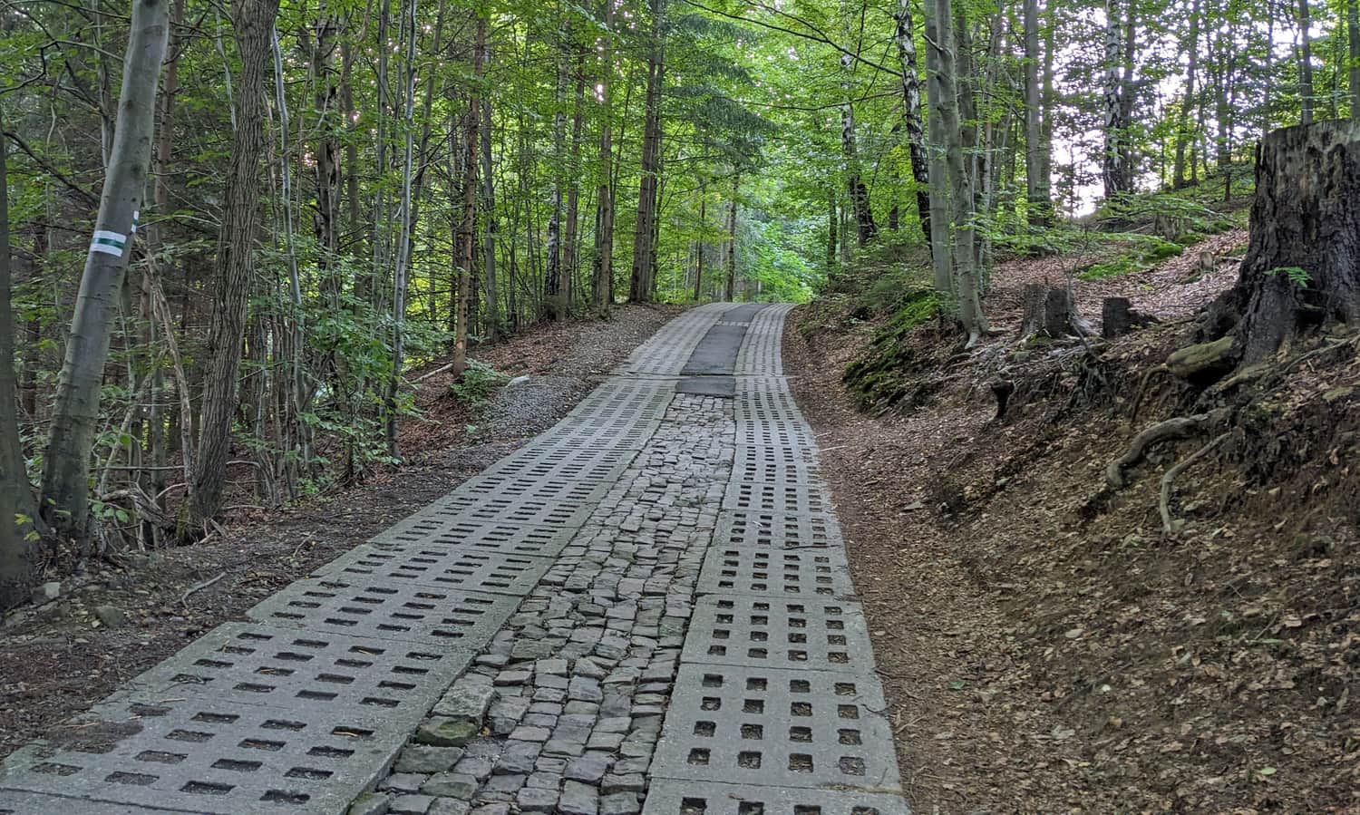
Initially, we walk along a road paved with concrete slabs to a small mountain settlement:
Green trail Wisła Łabajów - Stożek Wielki
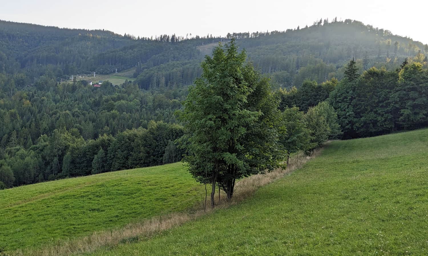
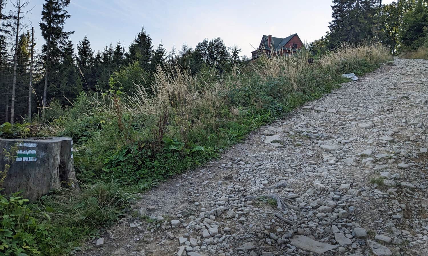
After a short forest section, we enter meadows with a small mountain settlement (a few houses). From here, we can see our destination: the peak of Stożek Wielki.
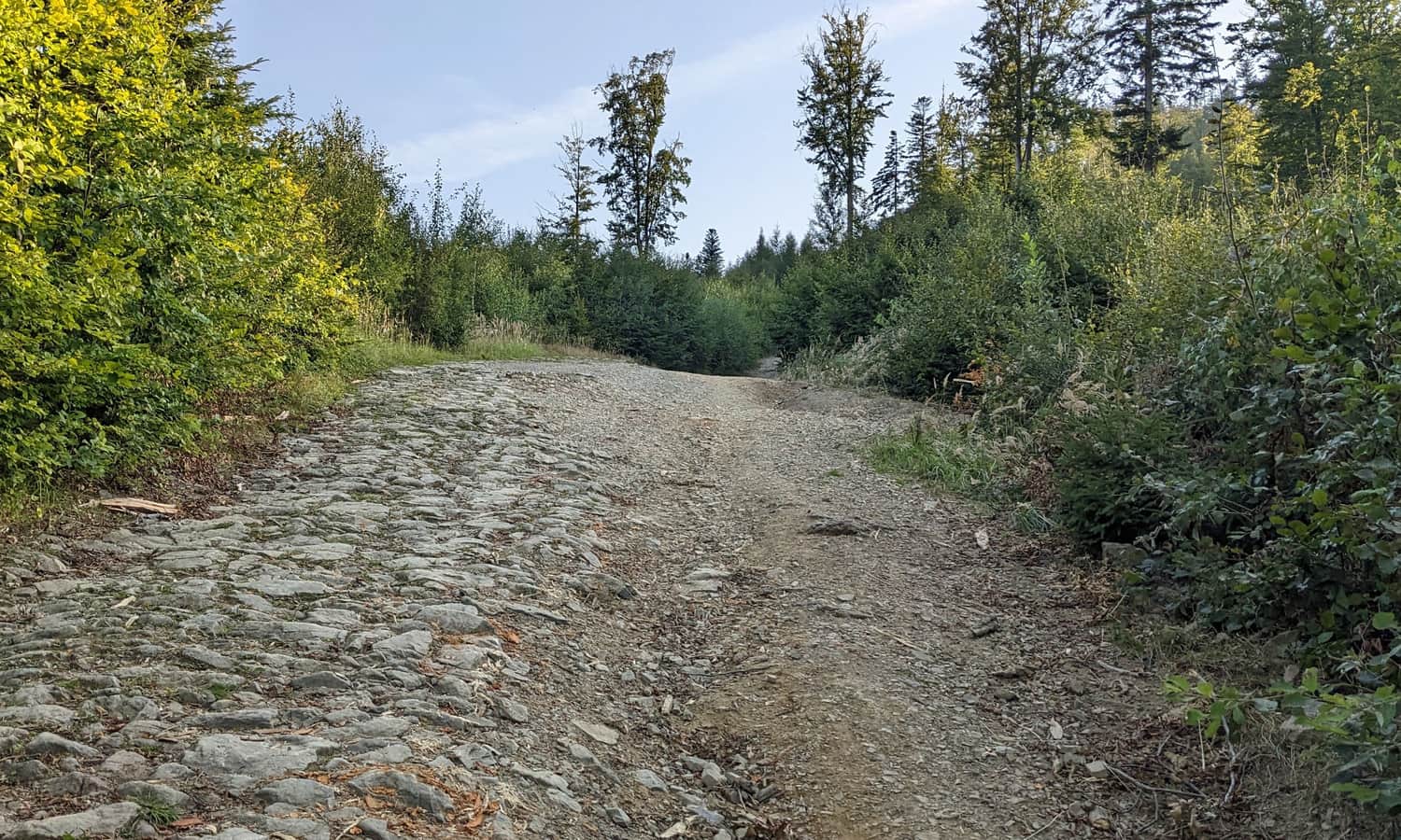
Then we walk through the forest again. Initially, the ascent is quite gentle, but the closer we get to the peak, the steeper the path becomes.
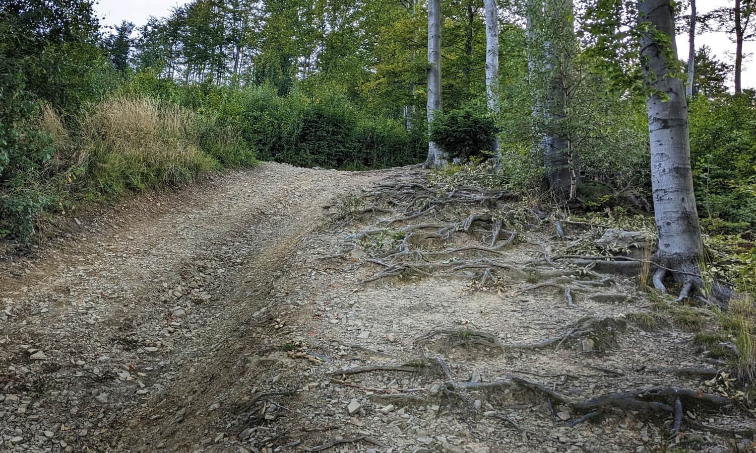
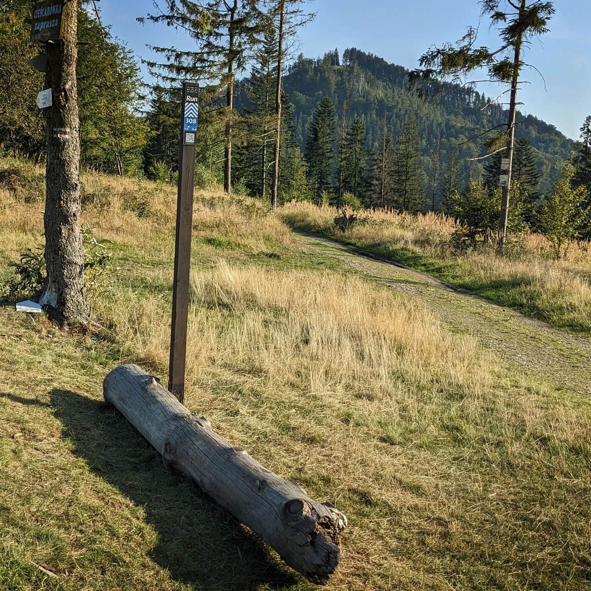
Just before the peak, we come across the red signs of the Main Beskid Trail and the yellow one connecting the center of Wisła with the Czech town of Jablunkov.
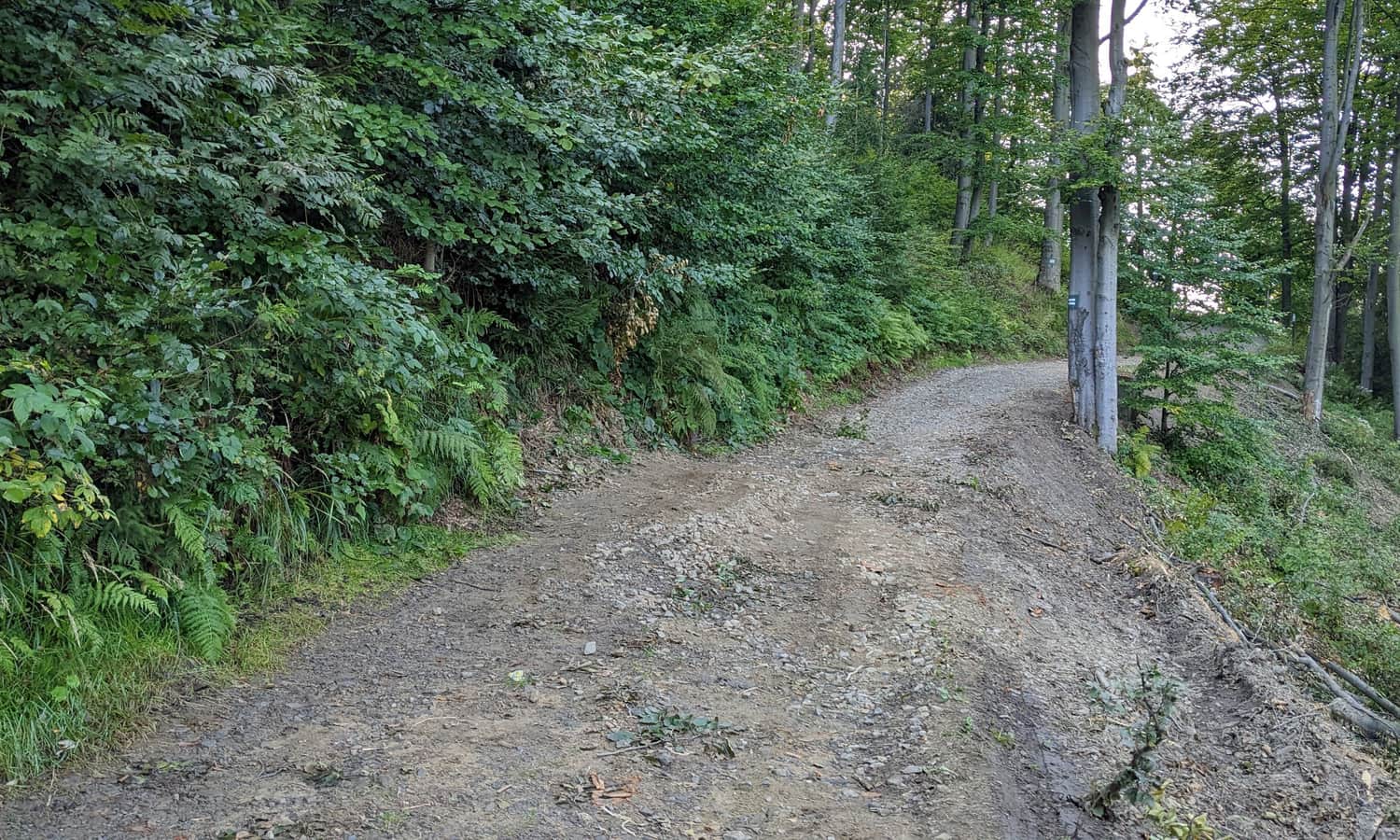
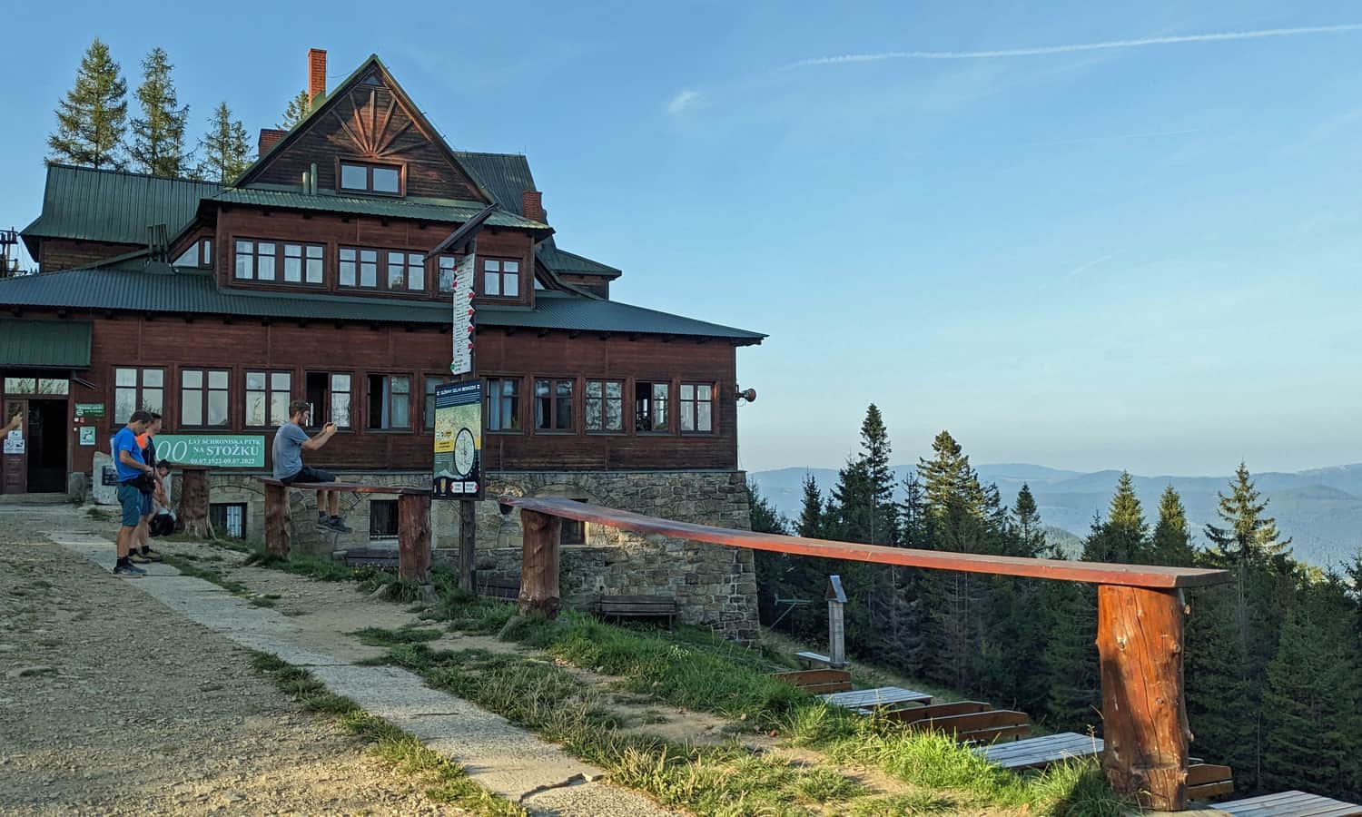
The last part of the trail traverses the very peak of Stożek Wielki (it is on our right) and leads us to the PTTK shelter on Stożek Wielki.
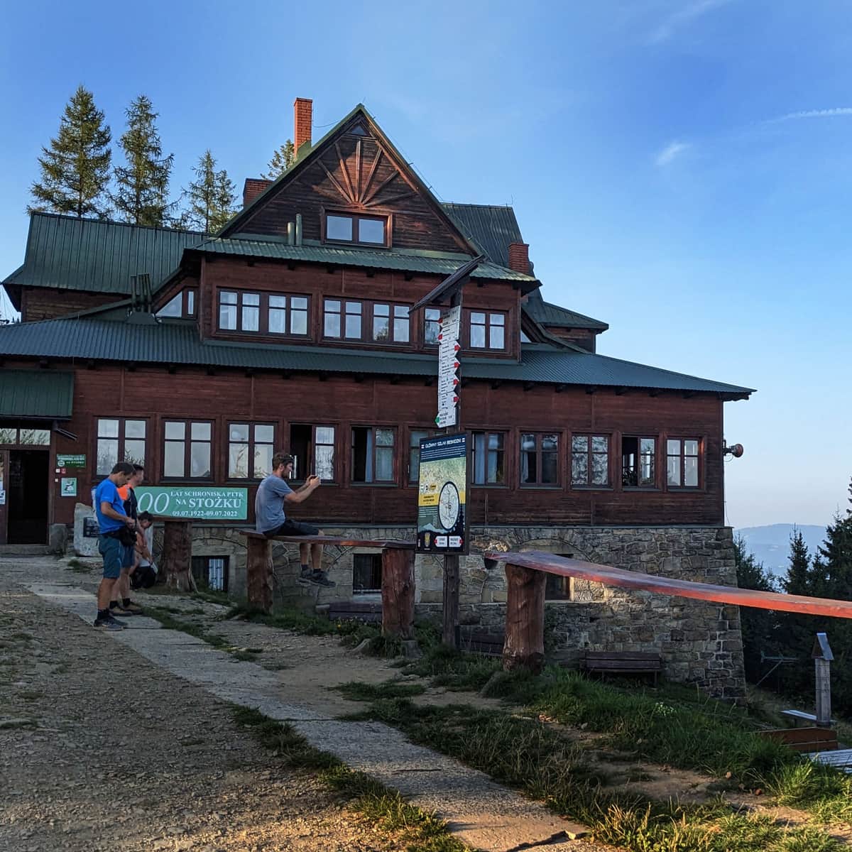
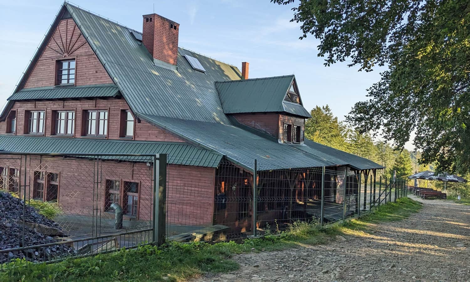
PTTK Shelter Stożek Wielki
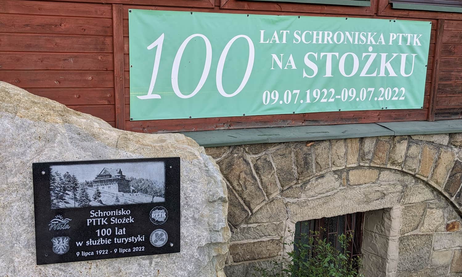
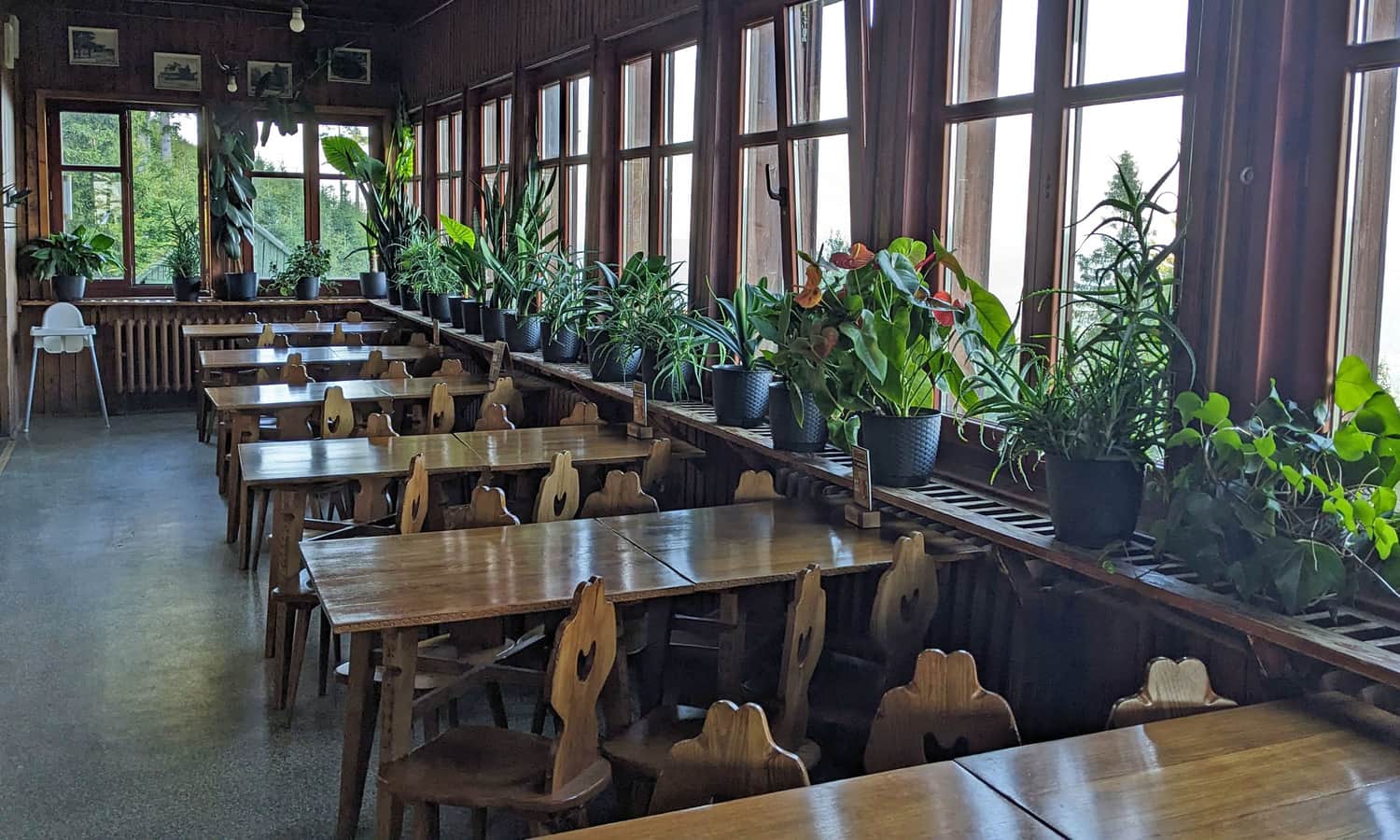
Did you know that the shelter at the peak of Stożek Wielki is over a hundred years old? It was built in 1920-22 and, apart from necessary renovations, it has survived in its original form to this day. Today, we can spend the night, eat, buy souvenirs and get a commemorative stamp.
The Stożek chairlift also reaches the shelter - it operates all year round, as in addition to a small ski slope, downhill bike routes have also been designated here.
Stożek Wielki, 979 m above sea level - views
The peak of Stożek Wielki is forested. Near the shelter, we will find a small clearing with a view to the east:
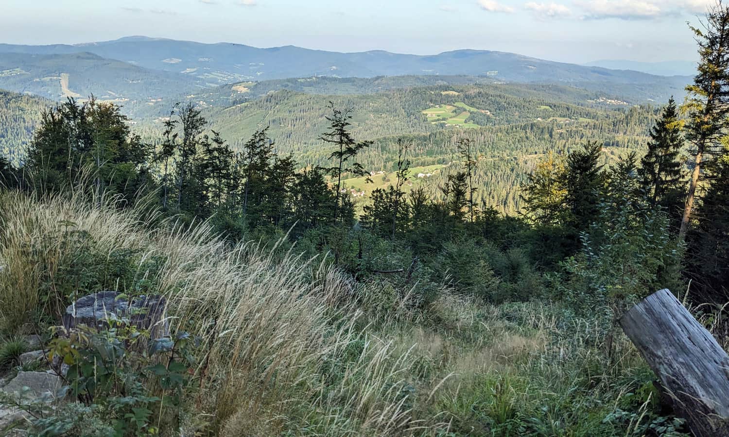
For wider panoramas, we can go down to the Stożek Mały settlement: the red trail to the north, about 1.5 km / 30 min. from the shelter.
Return from Stożek Wielki to Wisła
From the shelter on Stożek Wielki, we can return to Wisła by the same green trail (the descent to the parking lot is about 40 min, and to the PKP Głębce station: about 1.5 hours).
If we don't have to return the same way, it's worth continuing north along the scenic ridge Stożek Wielki > Cieślar > Soszów > Czantoria Wielka. Along the way, there are several trails leading down to the Wisła valley (and the PKP line), as well as the possibility of taking a cable car from Soszów, or from under Czantoria (directly to the PKP Ustroń Polana station).
Medium
Walking along the ridge: Czantoria - Soszów - Stożek


More in the Region Beskid Śląski (Silesian Beskid)


