
Walking along the ridge: Czantoria - Soszów - Stożek
Town: Sobótka Nearby: Bielsko-Białabeach_access Route in the shade
restaurant Restaurant or bar nearby
directions_car Access by car
train Access by train possible
wc Toilet along the route
The trail along the ridge between Czantoria Wielka and Stożek is a picturesque and easy route with beautiful scenic meadows and several gastronomic points along the way: shelters on Stożek and Soszów, and Chata and Koliba on Czantoria.
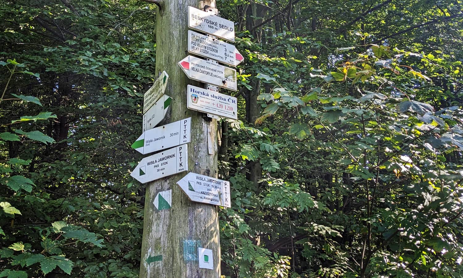
How to get to the ridge of Czantoria and Stożek?
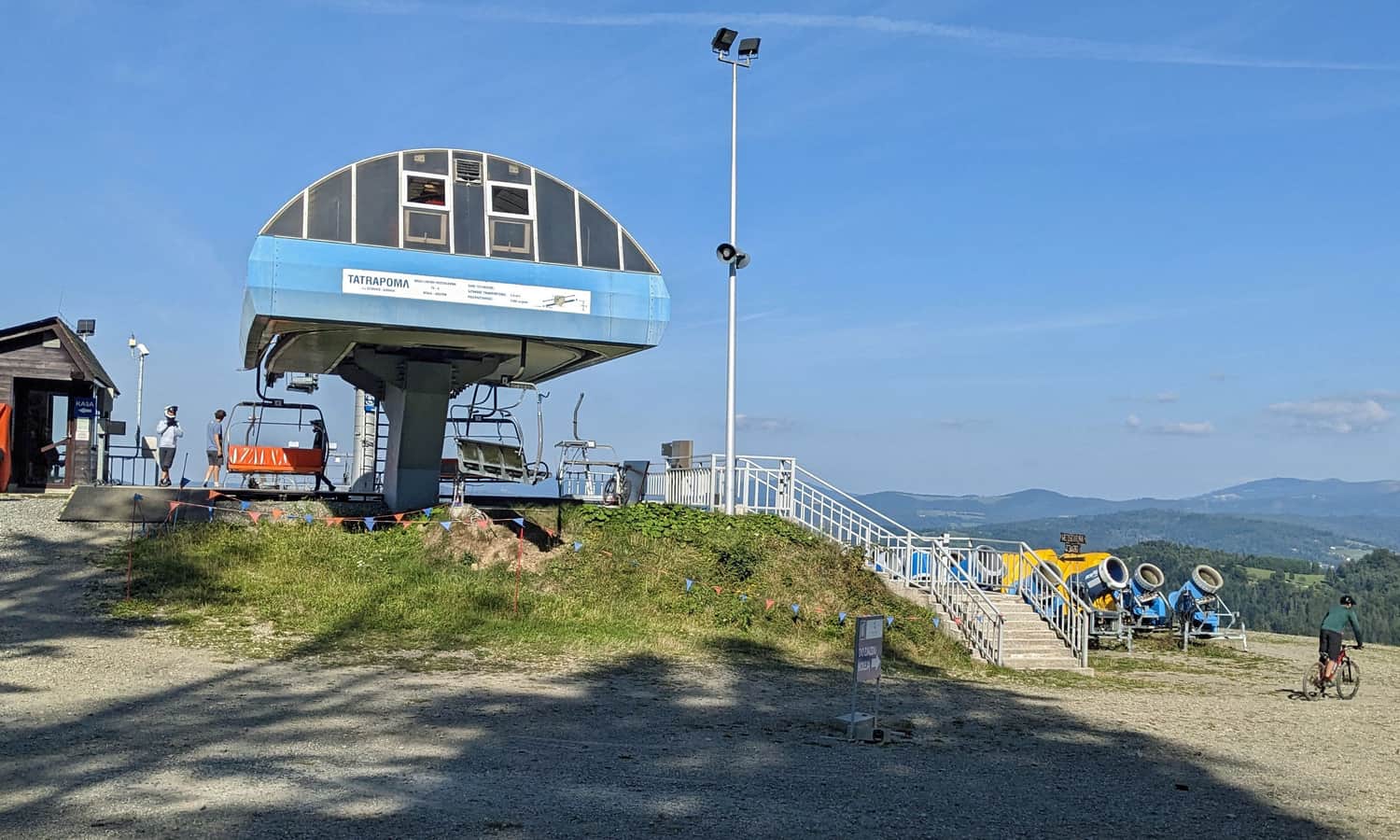
Of course, before we start our hike along the picturesque ridge, we need to get there somehow. For this purpose, we can use several year-round chairlifts:
- from Ustroń Polana to Polana Stokłosica under Wielka Czantoria, about which we write more here >>>
- to Soszów Wielki from the Jawornik valley in Wisła
- to Stożek from Wisła Łabajów
Of course, we can also walk here, for example, the green trail to Stożek from Wisła Łabajów or the red trail to Czantoria from Ustroń Polana or many others.
Hiking along the scenic ridge Wielka Czantoria - Soszów - Stożek Wielki
In this article, we describe the route from north to south, i.e. from Czantoria towards Stożek, but of course, you can also conquer it in the opposite direction. However, it is worth considering that although the sums of descents and ascents in both directions are similar, when hiking from north to south, we will have the "downhill" route (including the steep slope of Czantoria) a bit more often than "uphill".
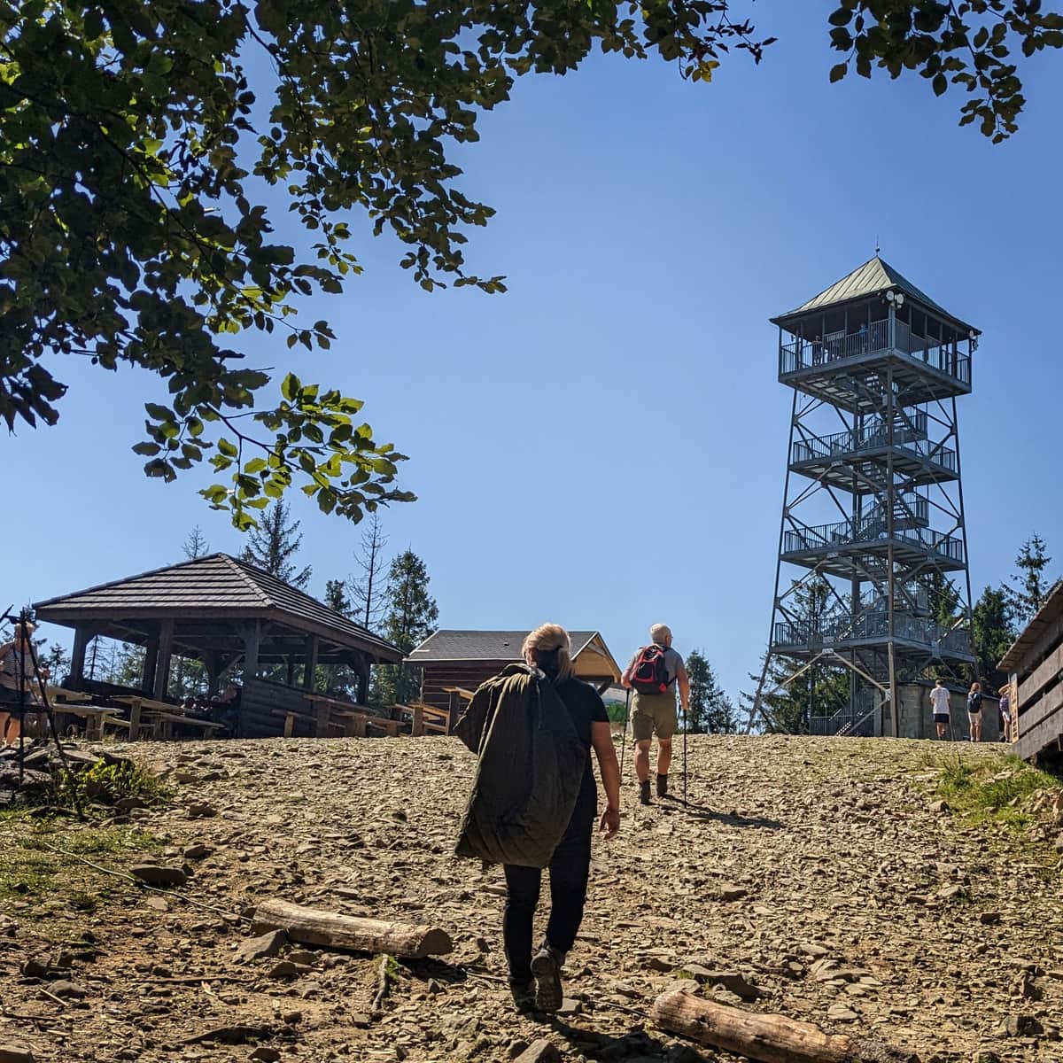
Wielka Czantoria, 995 m above sea level - peak and observation tower
The biggest attraction of the Czantoria peak is the observation tower (entrance fee). From the upper terrace, there is a beautiful view in all directions!
At the very top in the season, there are also stalls with snacks and drinks. The Czech Chata na Czantoria (former shelter) and the Polish Koliba na Czantoria have a better gastronomic offer. Both facilities are located about 1 km below the peak (access via the blue, green and yellow trail to the north).
You can find more interesting facts about Czantoria in this article:
Czantoria - trails, observation tower and shelter
The Great Czantoria (995 m above sea level) may not be the highest, but it is one of the most popular peaks in the Silesian Beskids. Thanks to the cable car, it is very easily accessible, and from the terrace of the observation tower, there is a beautiful view of the surroundings and neighboring Beskid ranges. On a clear day, you can also see the Tatra Mountains and the picturesque Slovak Little Fatra. ...
Wielka Czantoria - Przełęcz Beskidek
The section of the red trail from Czantoria to Soszów is initially quite a long (and sometimes steep) descent from the peak of Czantoria to Przełęcz Beskidek. An interesting place along the way is this cross:
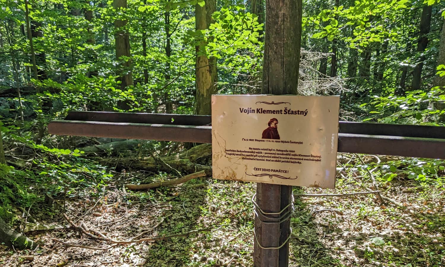
It commemorates the death of a Czech soldier who died here while marking the Polish-Czechoslovak border. It is worth mentioning here that after regaining independence in 1918, the border between Poland and Czechoslovakia in the Czantoria and Stożek area was not established for a long time and battles were fought on this border for quite a long time. Its current course, i.e. along the ridge of Czantoria and Stożek, was established by the Council of Ambassadors only in 1920.
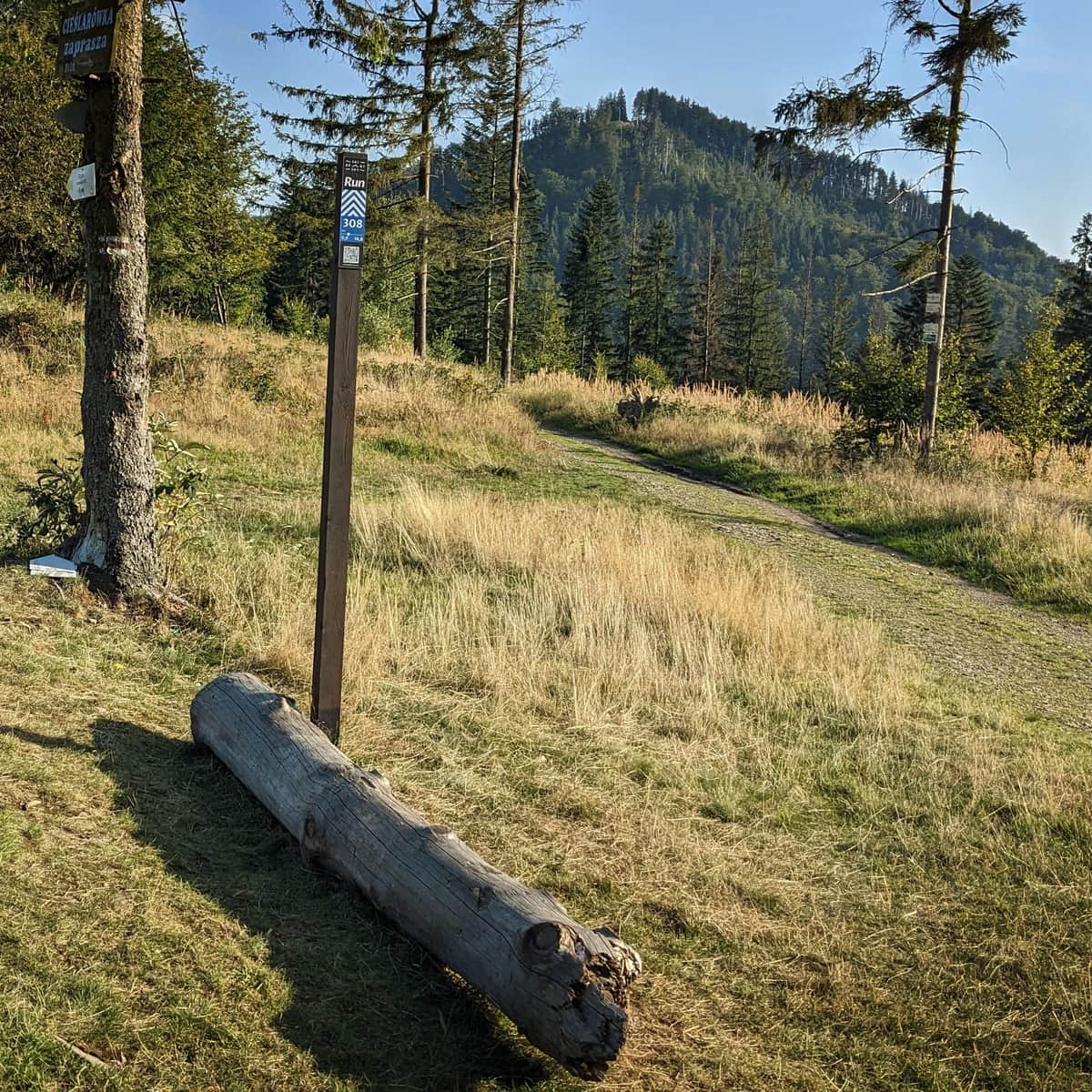
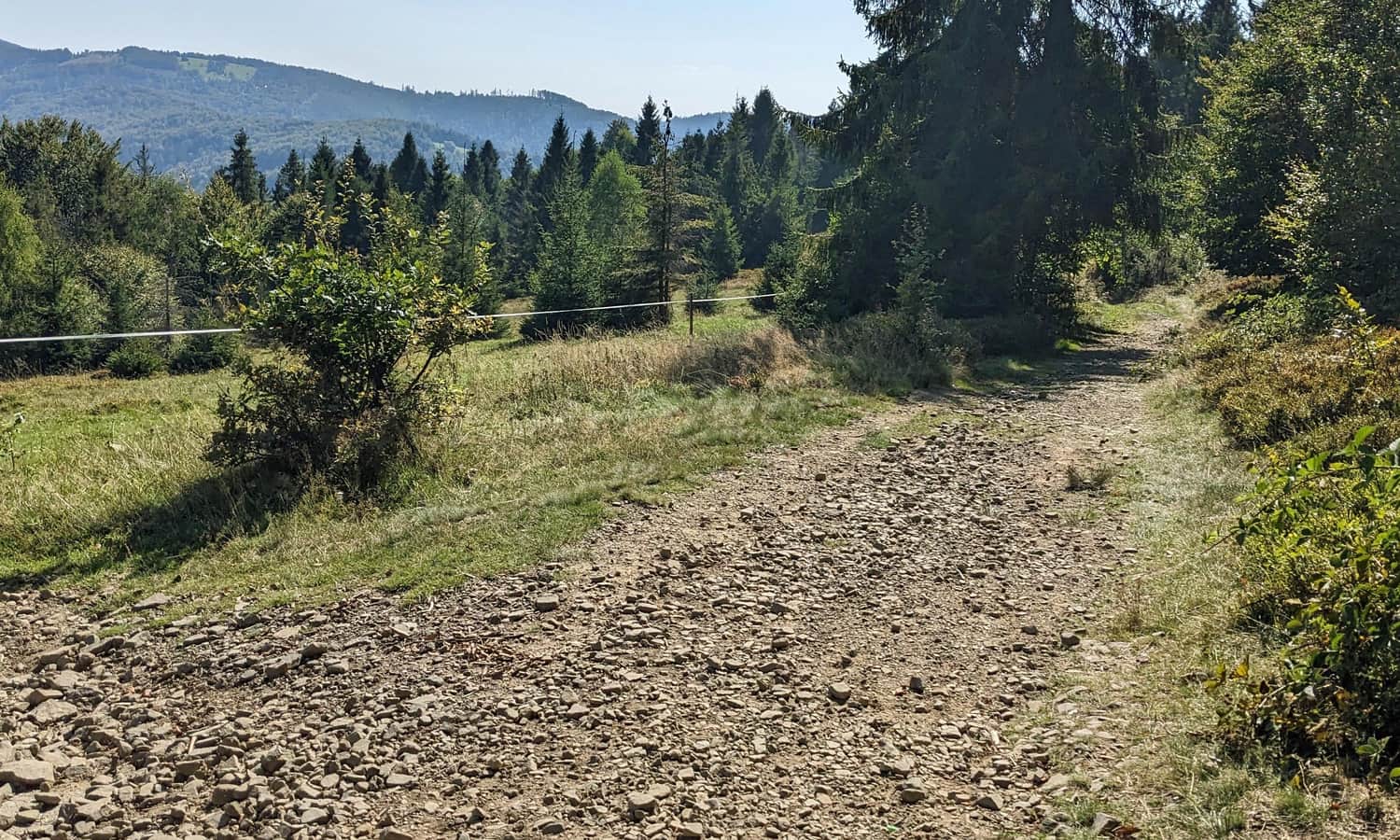
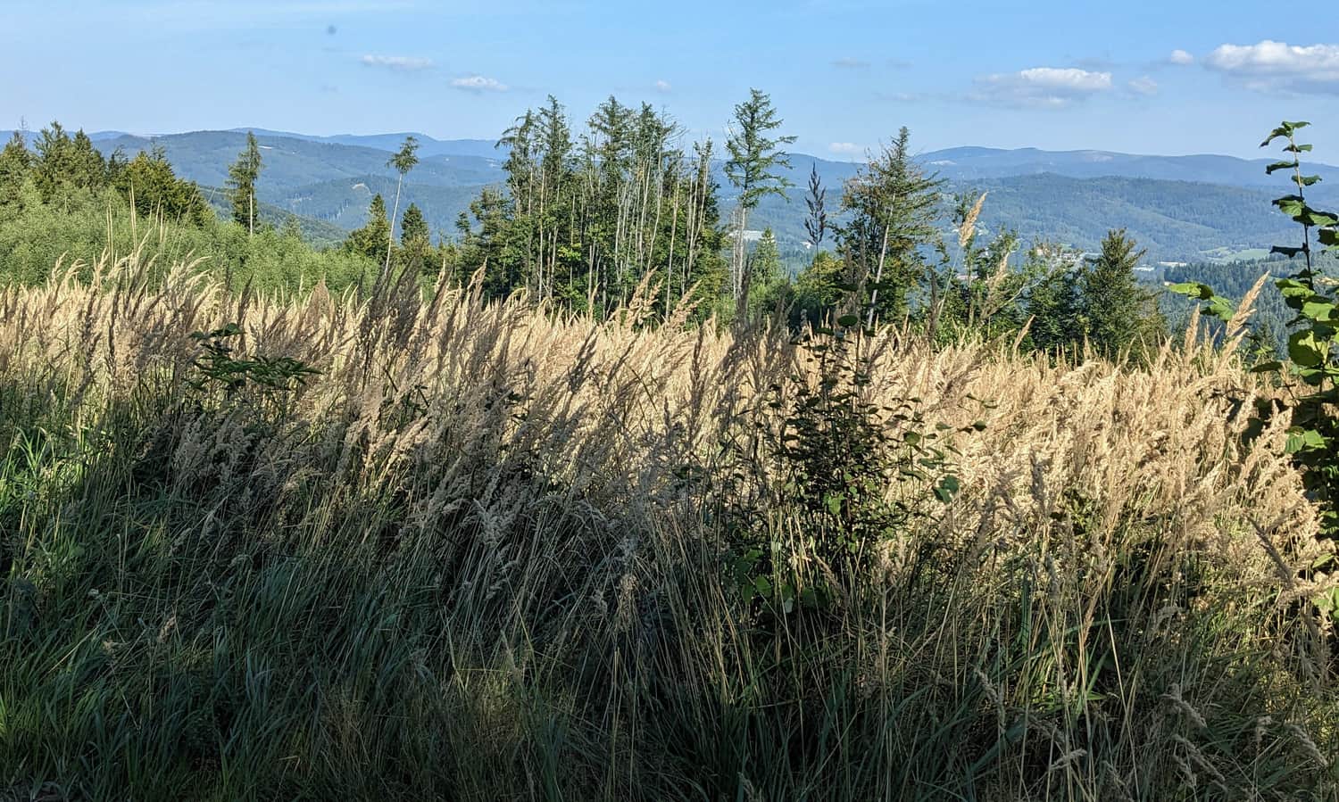
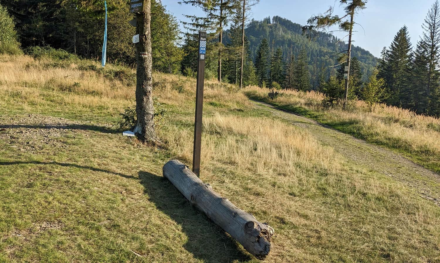
Before Przełęcz Beskidek, the first scenic meadow awaits us:
Przełęcz Beskidek - Soszów Wielki (886 m above sea level)
After about descent from the peak of Wielka Czantoria, we reach a clear depression, i.e. Przełęcz Beskidek:
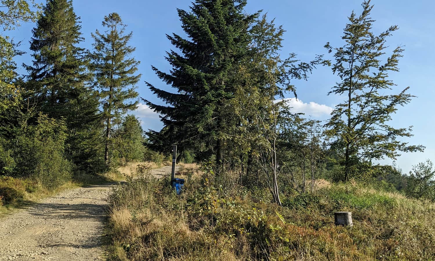
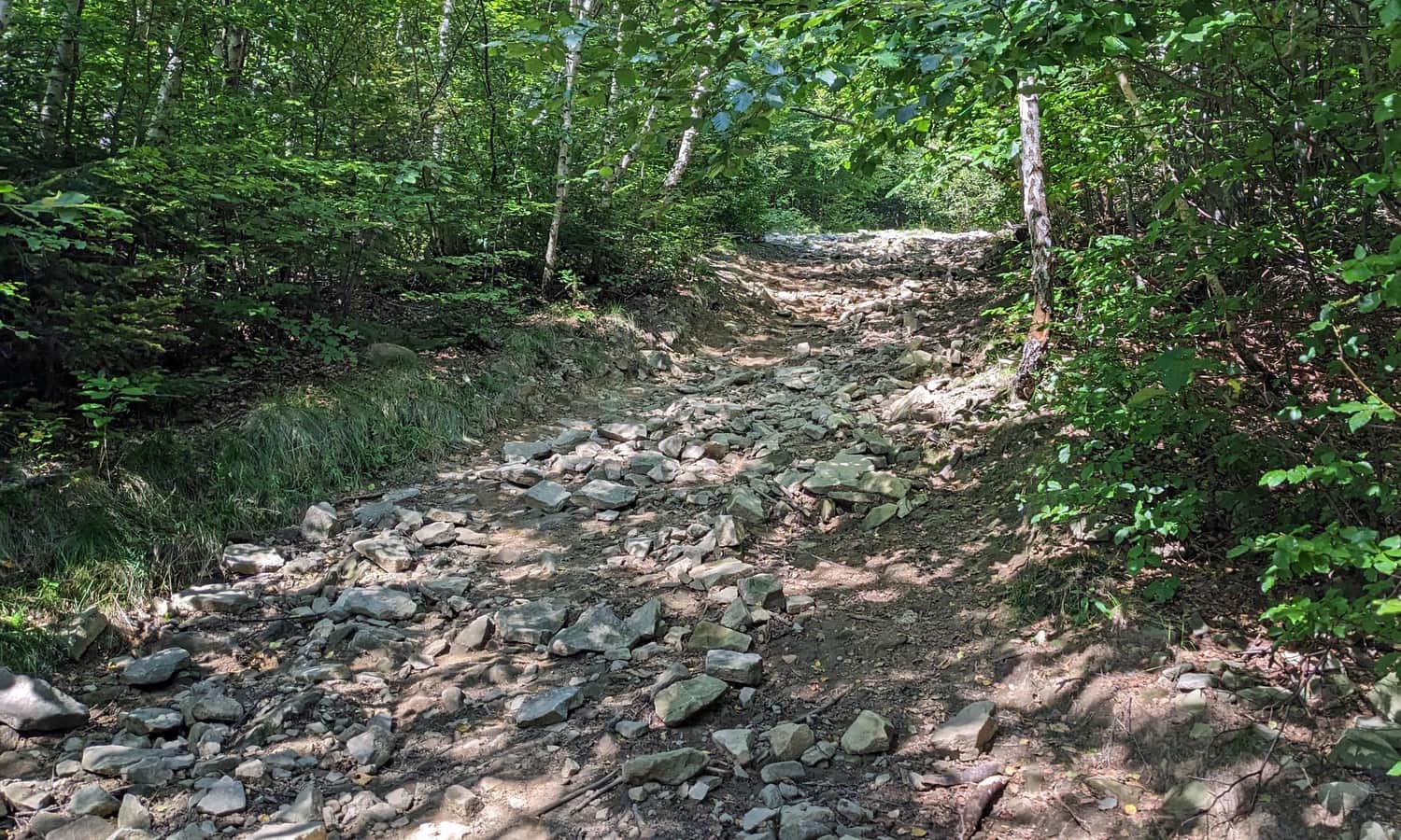
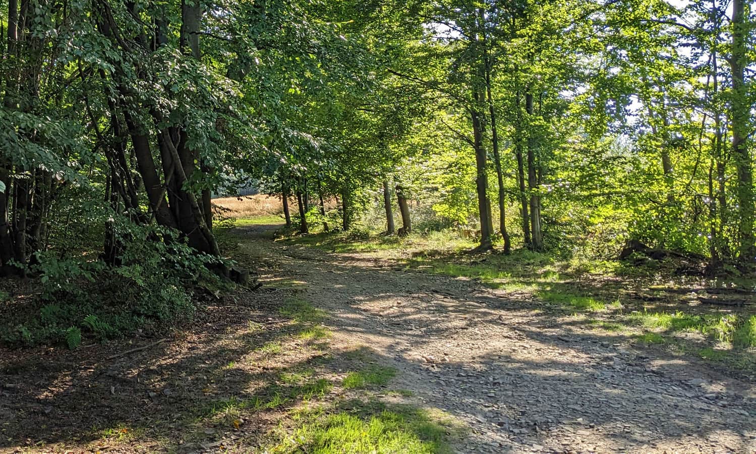
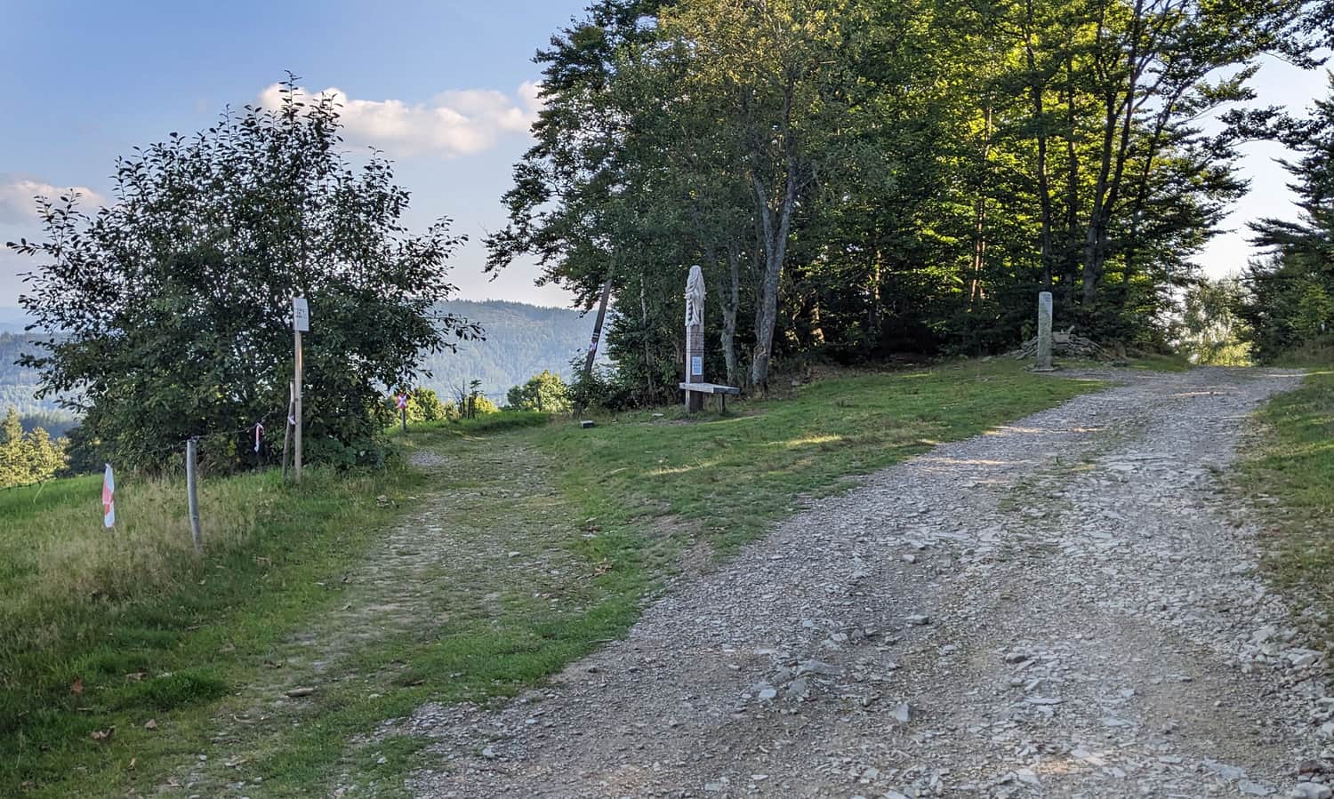
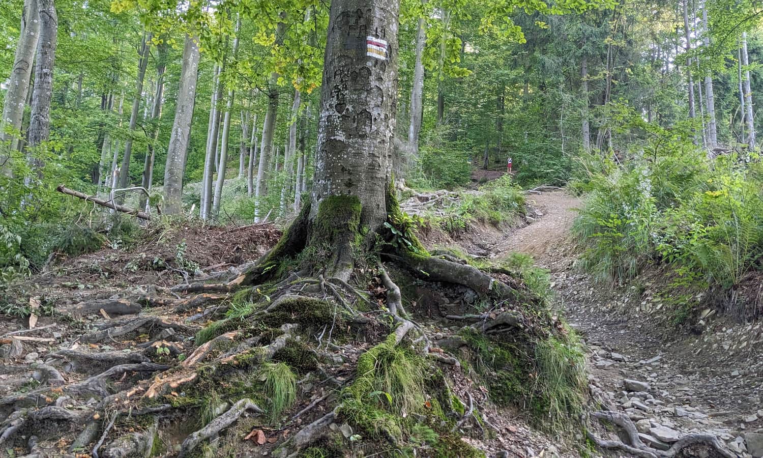
The further route from Przełęcz Beskidek is very varied: sometimes it leads through the forest, sometimes through scenic meadows:
Through a small and forested culmination of Soszów Mały, we reach the shelter under Soszów Wielki.
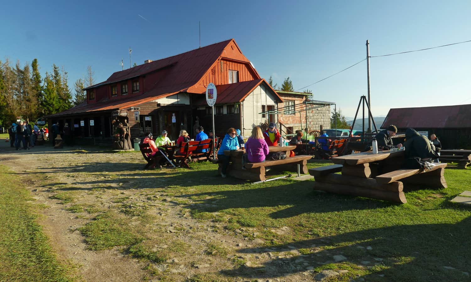
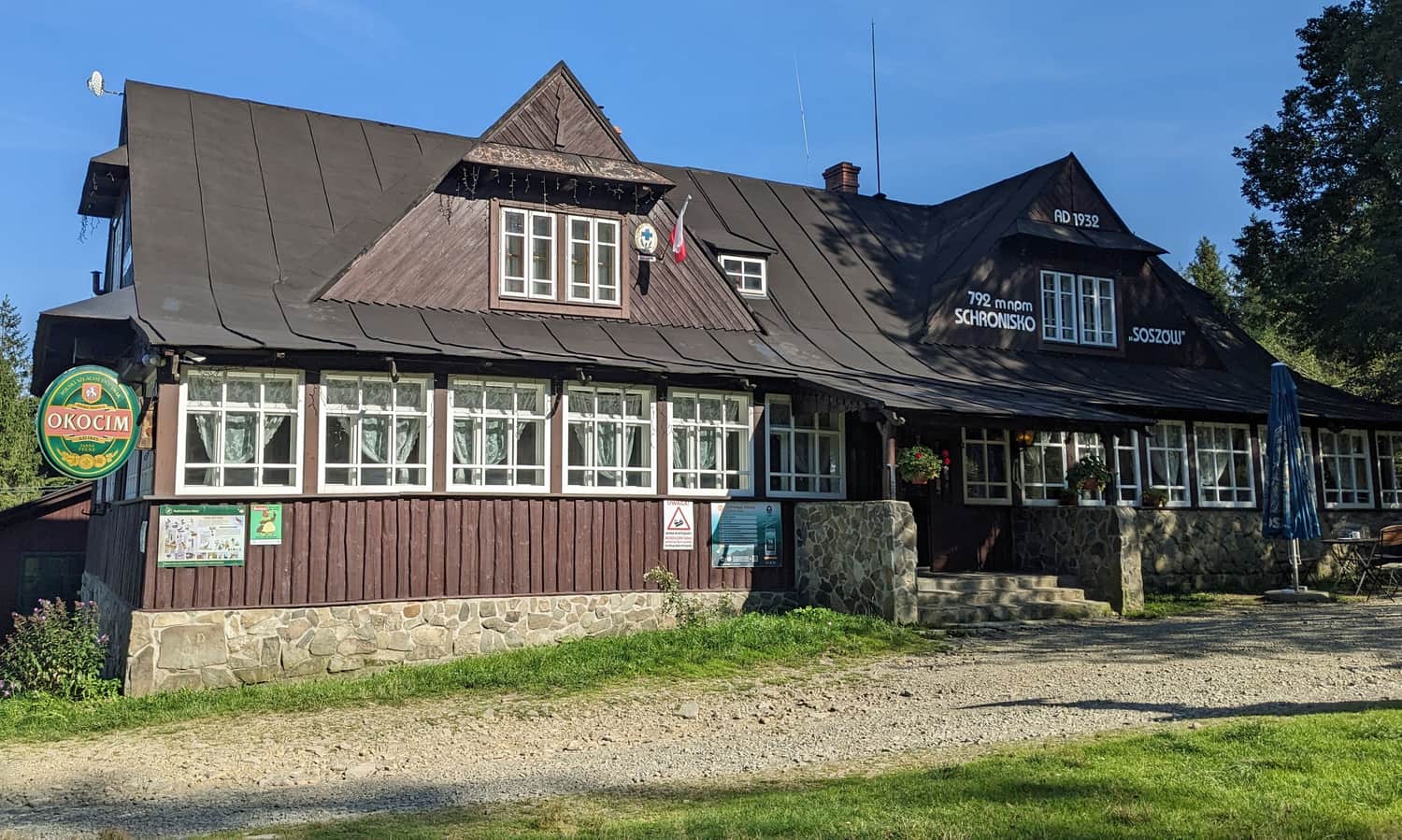
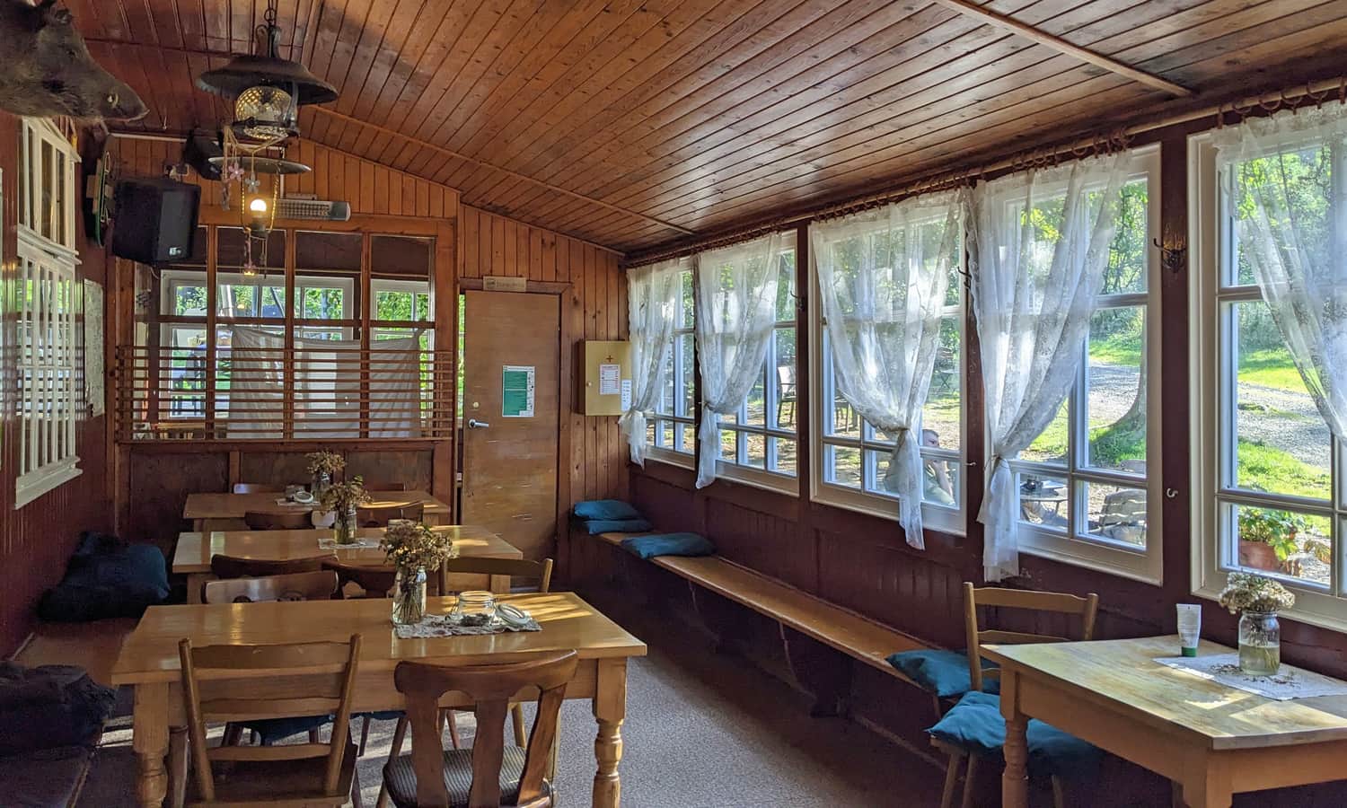
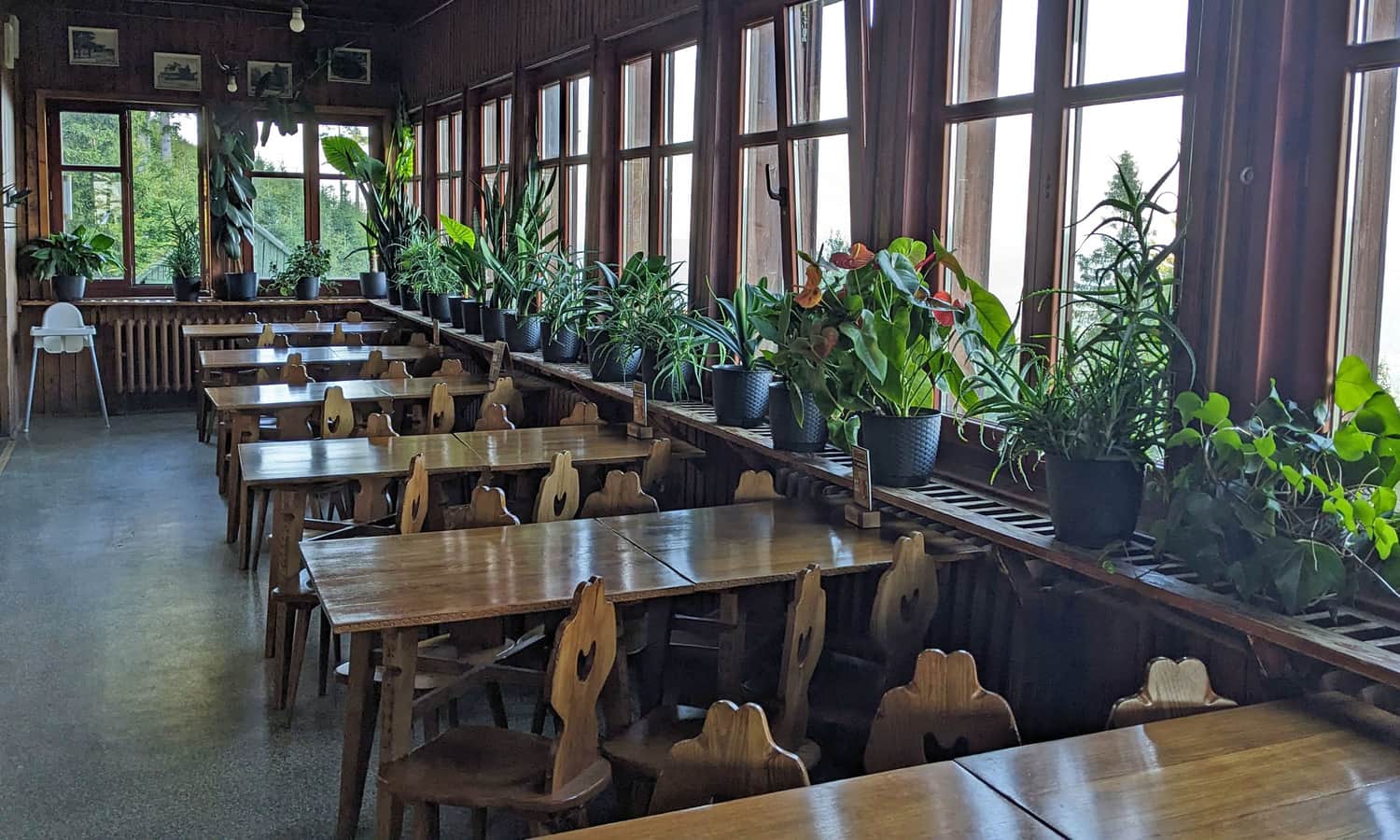
PTTK Soszów Shelter
The shelter under Soszów Wielki is a nice place where it is worth stopping during a hike along the ridge of Czantoria and Stożek. You can order simple lunch dishes here, buy snacks, drinks, stamp a souvenir stamp. Just above the shelter is the peak of Soszów Wielki with scenic meadows.
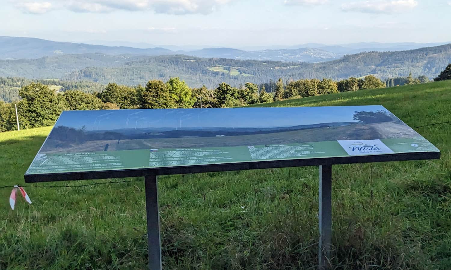
Cieślar, 918 m above sea level.
The next peak that we will conquer going from Czantoria towards Stożek is Cieślar. Here awaits us a carved bench and more scenic meadows.
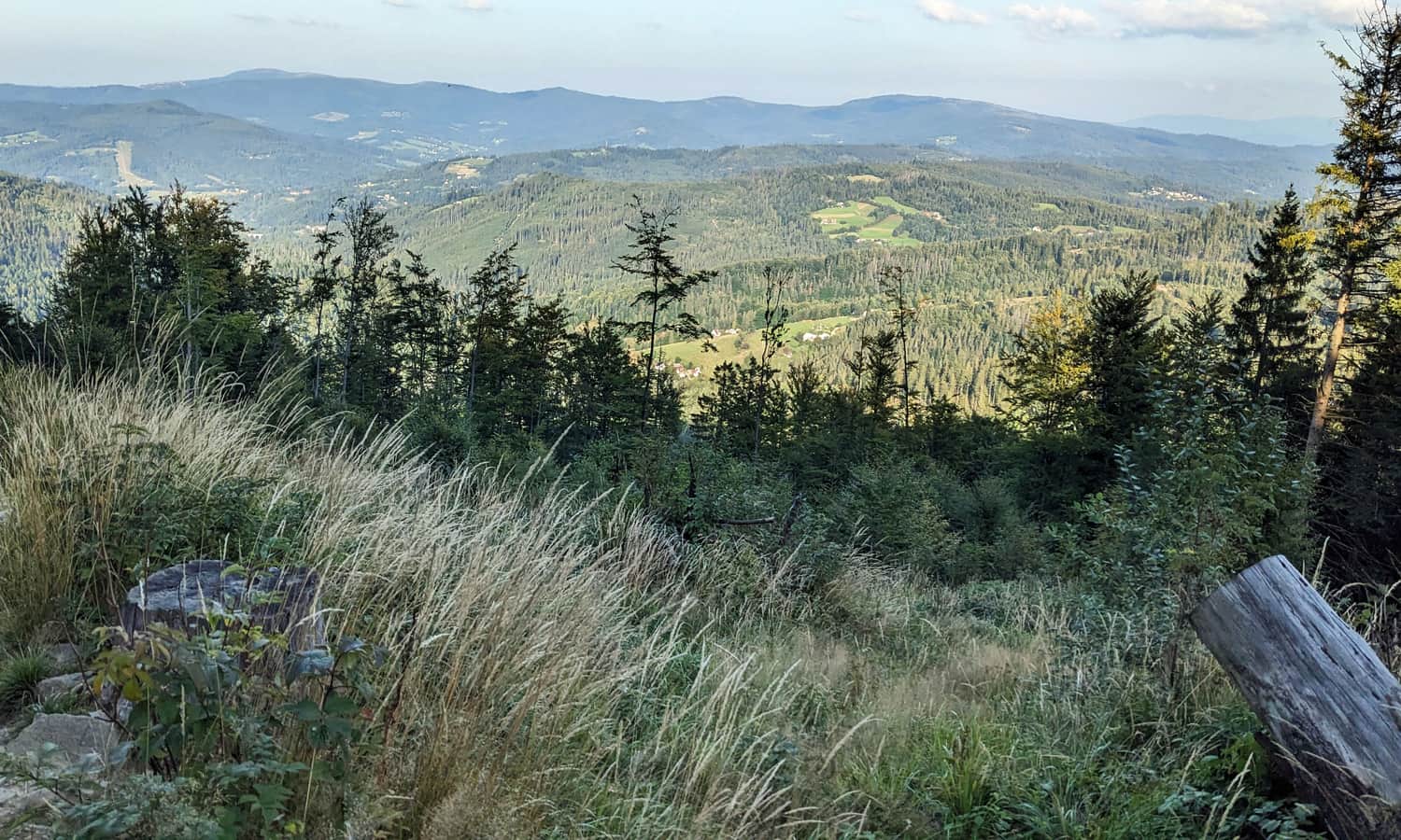
Stożek Wielki, 979 m above sea level.
Going from Cieślar further along the red trail, we pass the settlement on Stożek Mały. From here we can see the goal of our hike: Stożek Wielki, which indeed resembles a clear "cone" in its shape:
...and we start quite a steep (but fortunately not long) ascent through the forest to the peak of Stożek Wielki.
Just before the shelter, after joining the green trail from Wisła Łabajów, the road becomes wide, comfortable... and scenic!
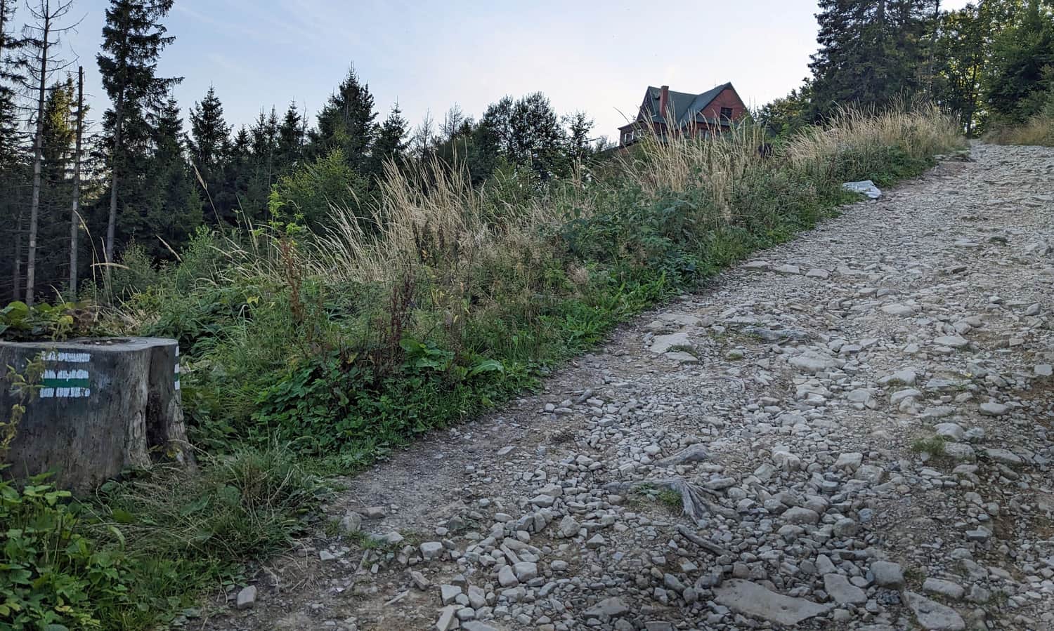
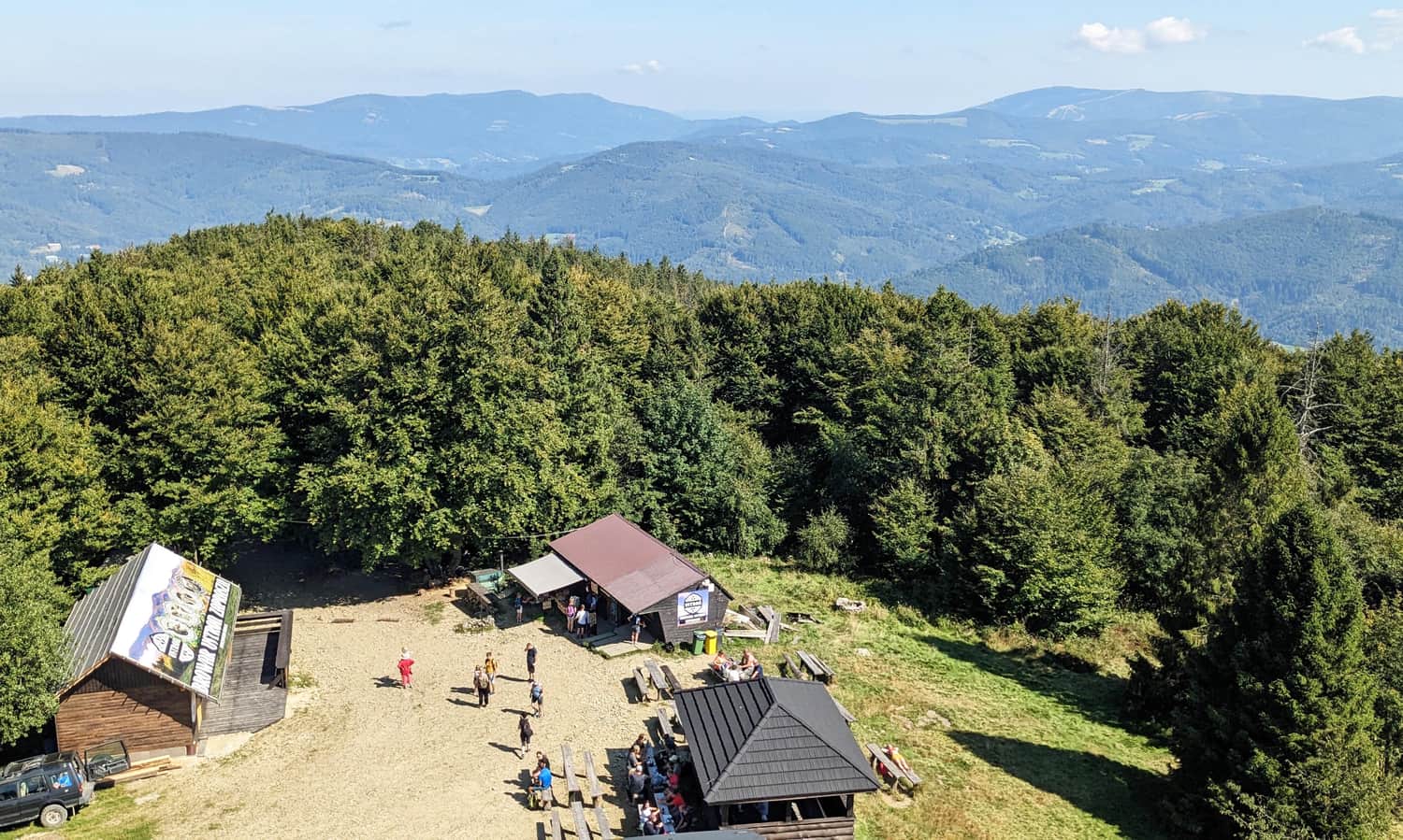
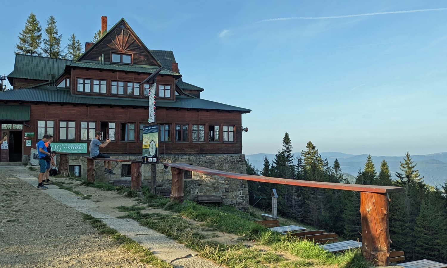
PTTK Stożek Shelter
Just below the top of Wielki Stożek (which the trail bypasses) awaits us the PTTK Stożek Shelter: it is the oldest Polish shelter in the Silesian Beskids, opened shortly after regaining independence in 1922.
...and back?
The return from Stożek to Czantoria along the same trail will take us about 3 hours. We can also descend from Stożek Wielki along the green trail to Wisła and the Wisła Głębce railway station (5 km, about 1.5 hours) and return to Ustroń by train, or use many other trails and the aforementioned lifts that will check us from the ridge to the Wisła valley.

More in the Region Beskid Śląski (Silesian Beskid)


