Chairlift to Czantoria
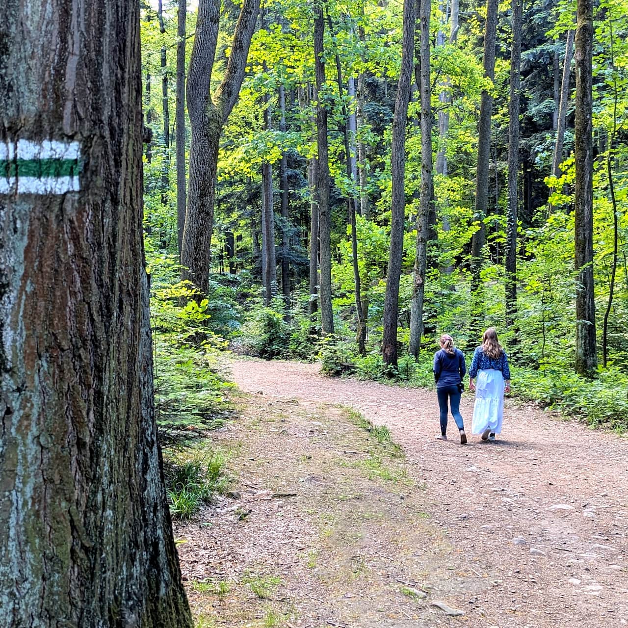
Nearby: Bielsko-Białabeach_access Route in the shade
restaurant Restaurant or bar nearby
train Access by train possible
wc Toilet along the route
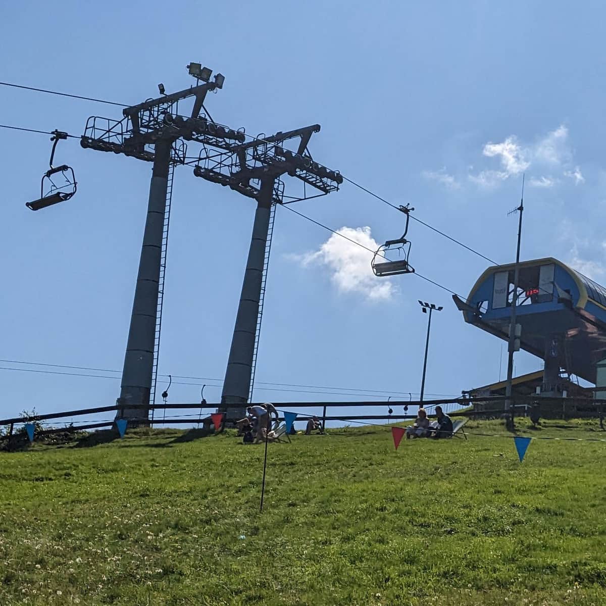
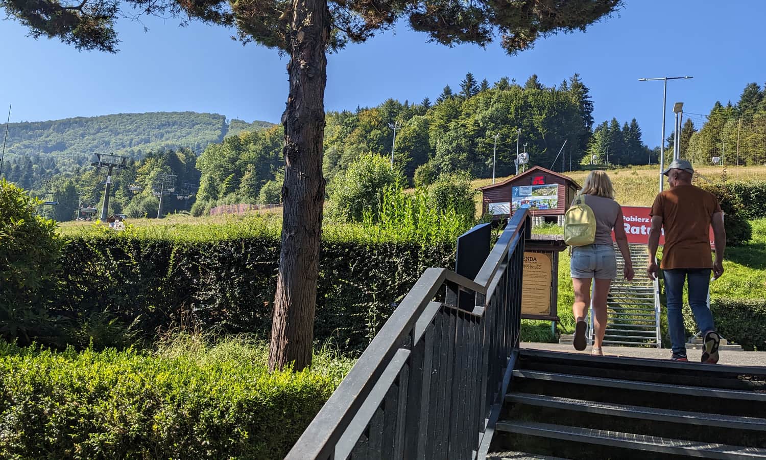
The year-round chairlift to Czantoria is the easiest and fastest way to the top. From the upper lift station to the summit and the observation tower, it's only about 1 km, and to the dining facilities, which are the Chalet and the Koliba on Czantoria, it's about 2 km.
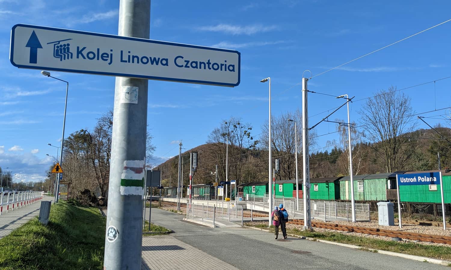
Chairlift to Czantoria in Ustroń
The lower lift station is located in Ustroń Polana. There are numerous parking lots (both paid and free) nearby. Also, the Ustroń Polana train station is just 500 m from the lift station - so you can also get here by train.
The four-person benches take us to Polana Stokłosica. In about 8 minutes, we cover a distance of 1600 m and overcome a height difference of 462 m.
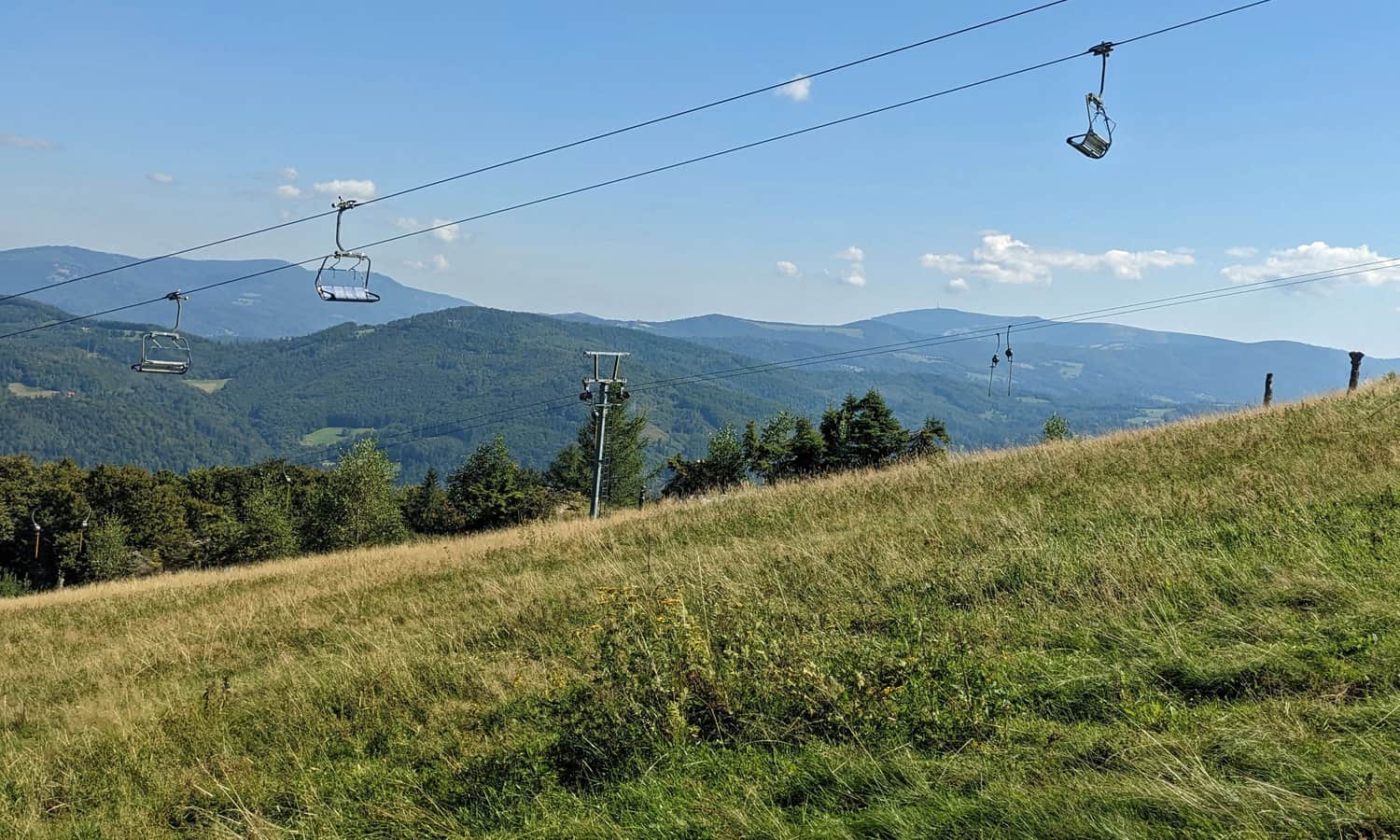
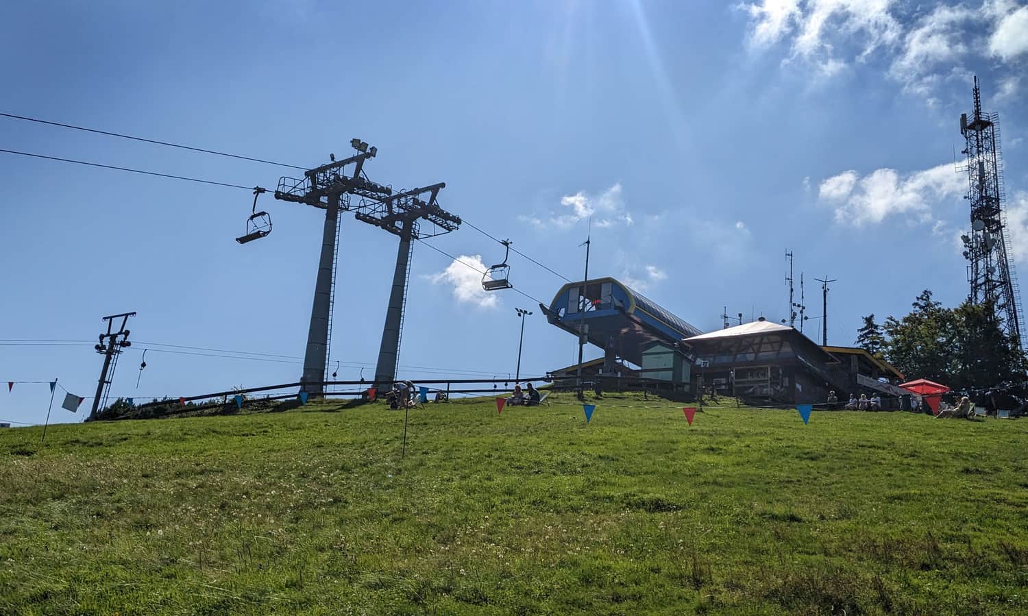
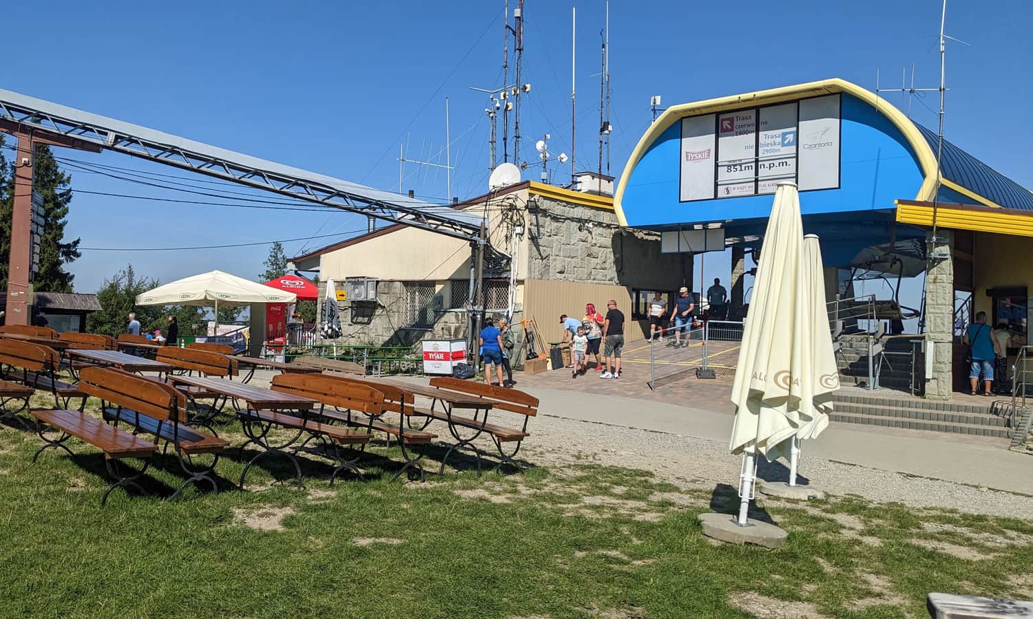
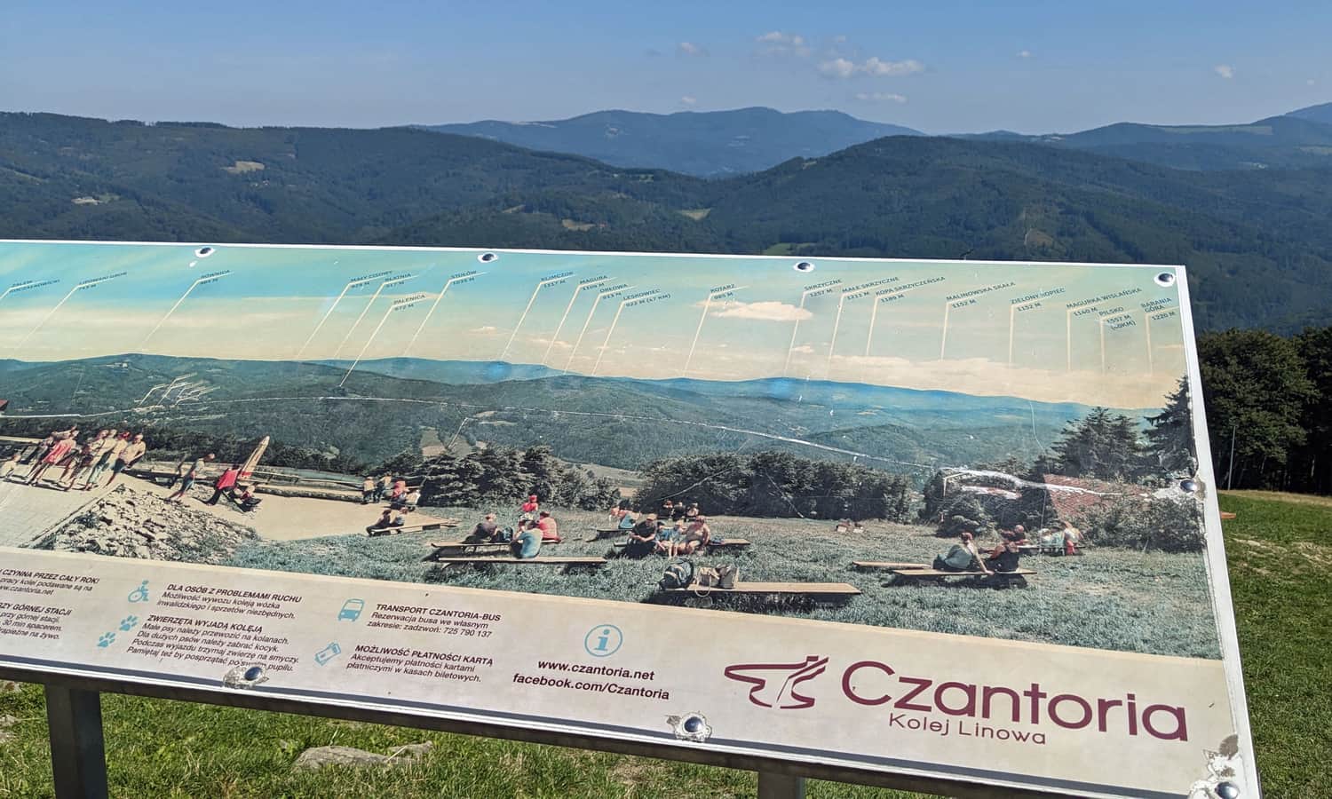
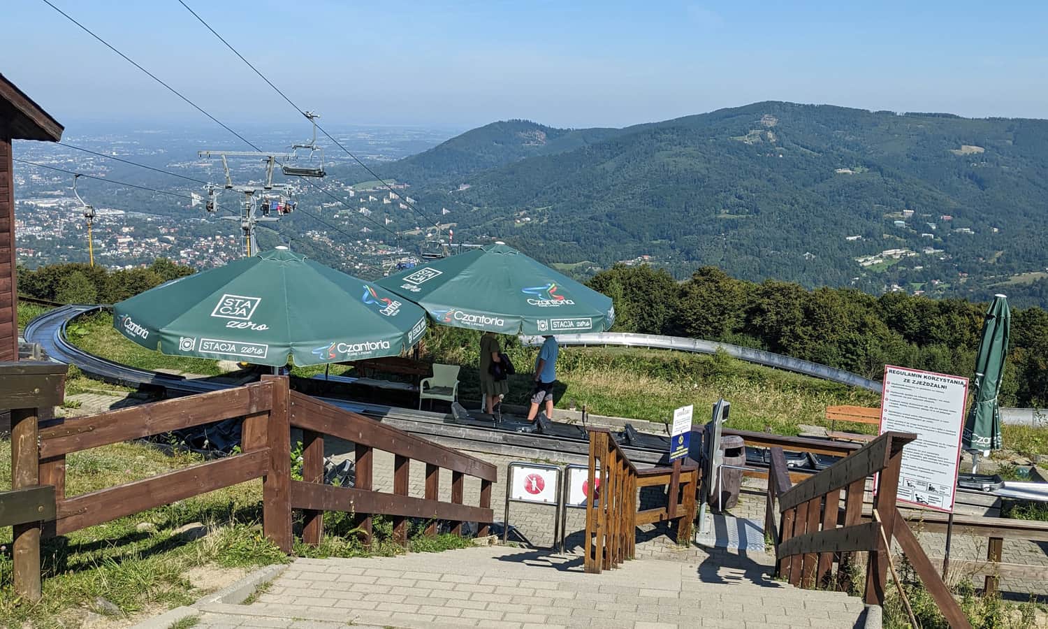
Polana Stokłosica, upper lift station to Czantoria
At Polana Stokłosica, we are greeted by a scenic meadow (panorama to the east), dining facilities (snack booths), souvenir shops, and a summer toboggan run.
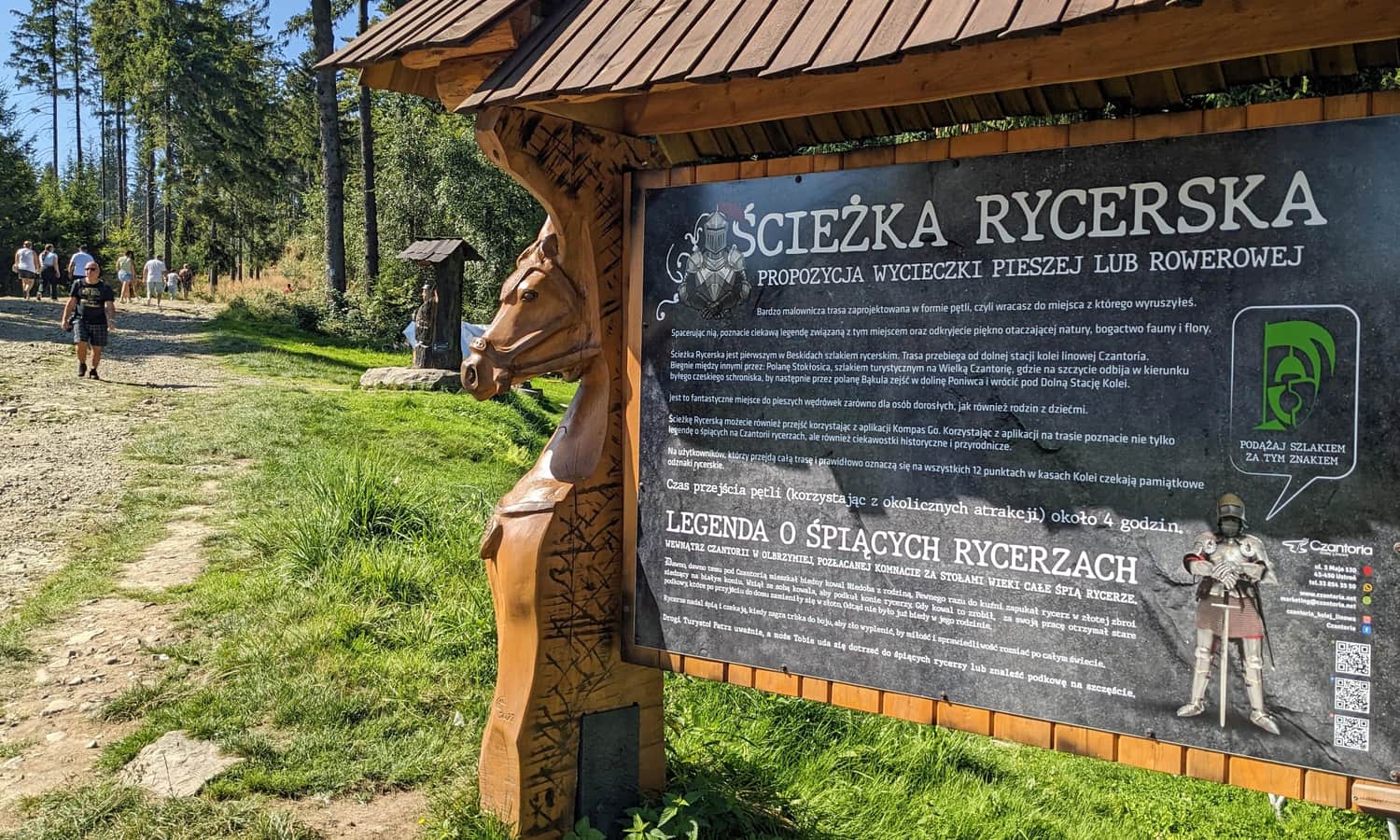
It's also worth familiarizing yourself with the legend of knights sleeping in caves under Czantoria (similar to the Tatra knights under Giewont). You can find the plaque at the entrance to the trail towards the summit.
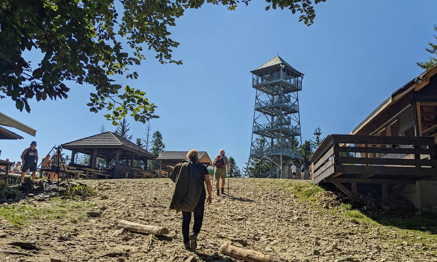
From Polana Stokłosica to the observation tower on Czantoria
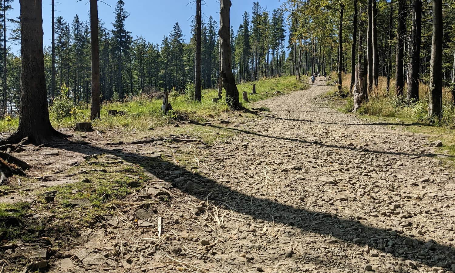
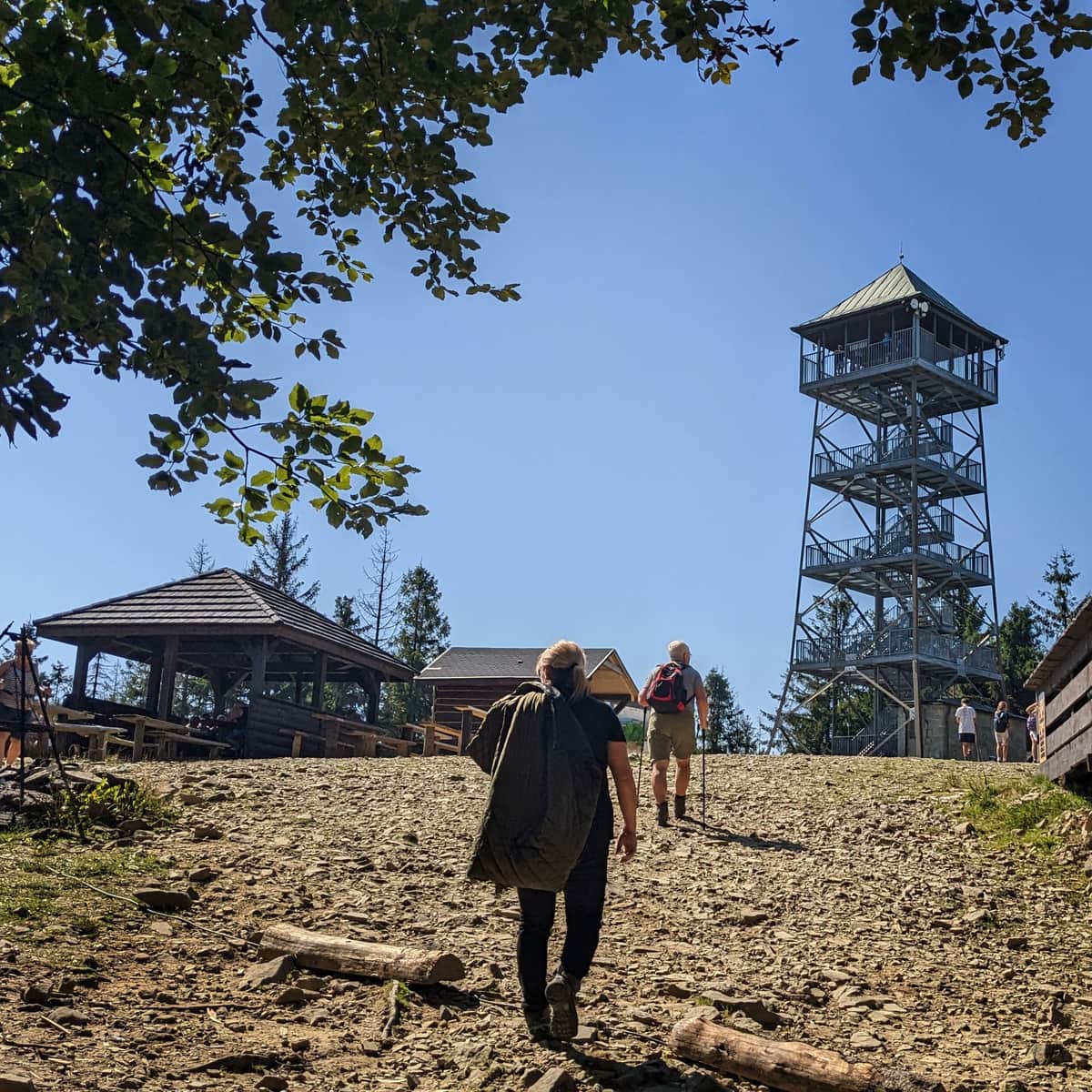
To reach the summit of Czantoria, we need to walk about 1 km on a footpath (red signs). The path is wide, comfortable, but still "off-road". There is a small height difference to overcome (about 150 m), so it will be a bit uphill. If you plan to come here with a stroller, only a large-wheeled off-road version will do.
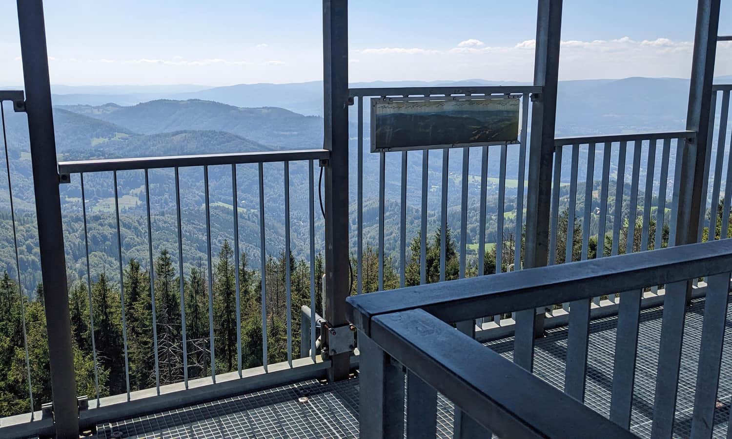
Observation tower on Czantoria
After about half an hour of forest walk, we reach the summit of Czantoria. There are a few seasonal snack booths and souvenir shops, but most importantly, an observation tower. There is an entrance fee, but it's really worth spending a few zlotys. The view in all four directions is beautiful!
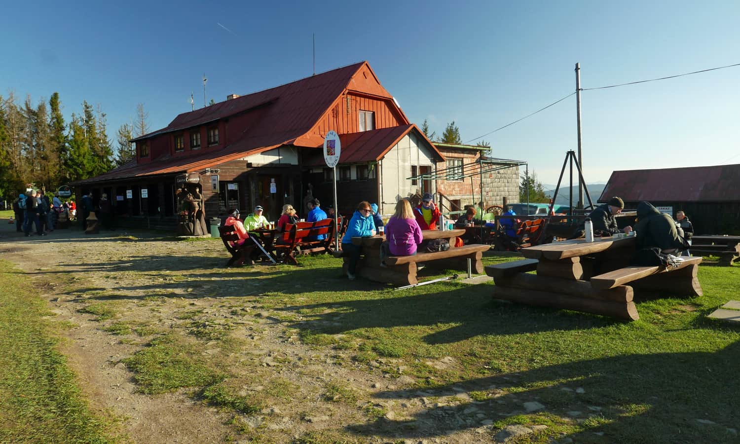
Koliba and Chata on Czantoria
From the summit and the observation tower, a wide forest road descends north towards the Czech Chata on Czantoria and the Polish Koliba on Czantoria. These places, about 1 km from the tower, offer simple lunch dishes, souvenirs, stamps.
Czantoria - what next?
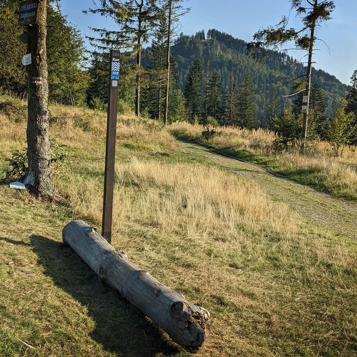
Firstly, we can return to Ustroń the same way (the descent by the red trail will take us about 1 hour). We can also descend to Ustroń Poniwiec by the blue trail. This route will be slightly longer (about 5 km, 1:15 min), but not as steep.
We can also head north and descend from the summit of Mała Czantoria by the yellow trail to the Ustroń Zdrój train station (from the summit of Czantoria it's 9 km, 2.5 hours).
Another idea is to walk along the ridge to the south towards Soszów (shelter), Cieślar and Stożek (another shelter):
Medium
Walking along the ridge: Czantoria - Soszów - Stożek

Czantoria - facts and trivia
You can find more about the attractions waiting for us at the summit of Czantoria, the views from the tower, other trails to the summit, and a whole lot of trivia about this place in this article:
Czantoria - trails, observation tower and shelter
The Great Czantoria (995 m above sea level) may not be the highest, but it is one of the most popular peaks in the Silesian Beskids. Thanks to the cable car, it is very easily accessible, and from the terrace of the observation tower, there is a beautiful view of the surroundings and neighboring Beskid ranges. On a clear day, you can also see the Tatra Mountains and the picturesque Slovak Little Fatra. ...

More in the Region Beskid Śląski (Silesian Beskid)