
Blue Trail to Stożek from Wisła Głębce - Winter
Nearby: Bielsko-Białabeach_access Route in the shade
restaurant Restaurant or bar nearby
directions_car Access by car
directions_bus Can be reached by bus
train Access by train possible
wc Toilet along the route
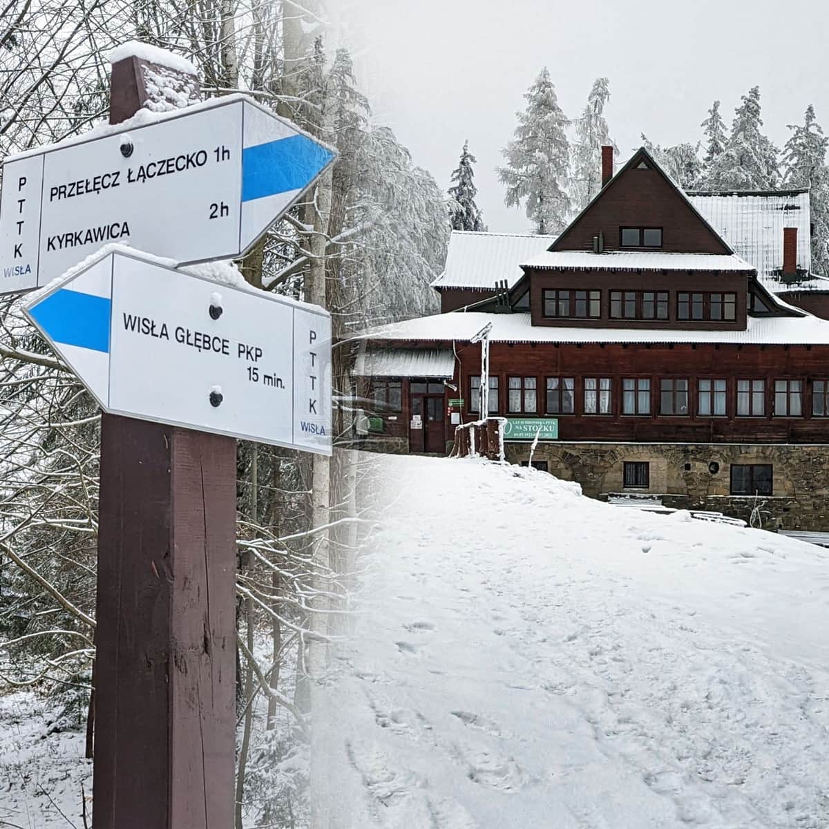
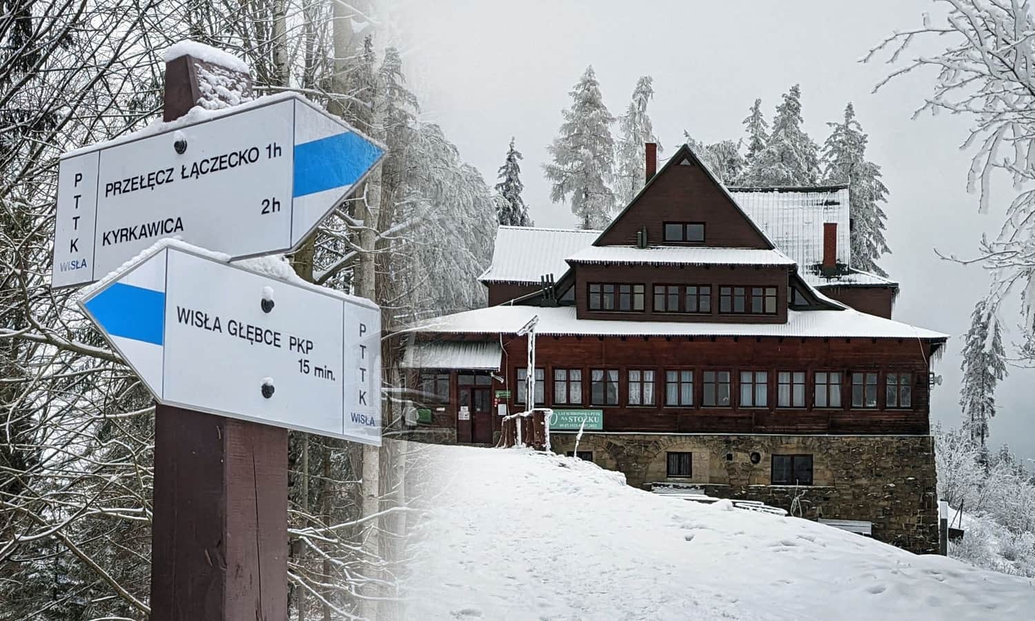
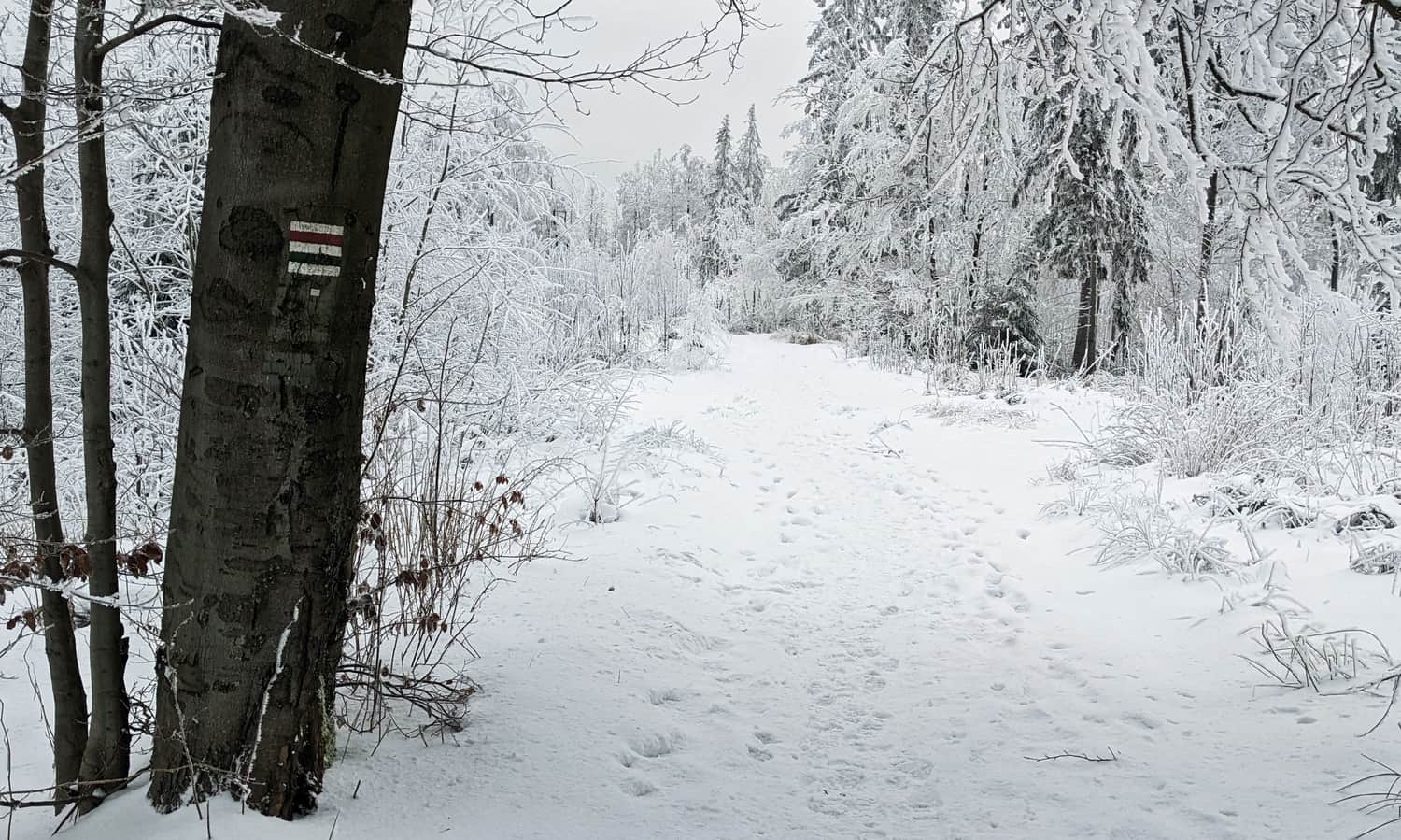
The Blue Trail from Wisła Głębce to Stożek Wielki is an easy forest path with several scenic spots along the way. At the end, there is a cozy mountain hut where you can rest and have a meal before continuing your hike.
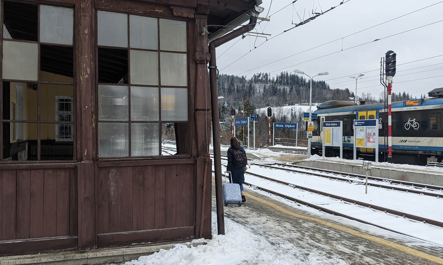
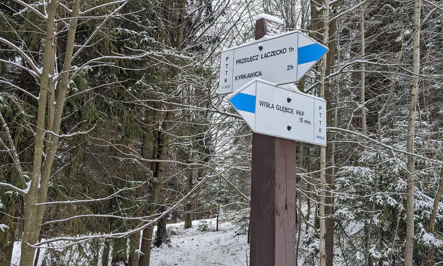
Start of the Trail to Stożek - Wisła Głębce Train Station
You can reach the Wisła Głębce train station by train (e.g., from Katowice) or by bus. If you drive, you can park your car here. Two trails to Stożek start here: the blue and the green. The green trail follows Turystyczna Street for a while and only enters the forest path after 3 km, in Wisła Łabajów. More about this trail here: GREEN TRAIL TO STOŻEK >>>
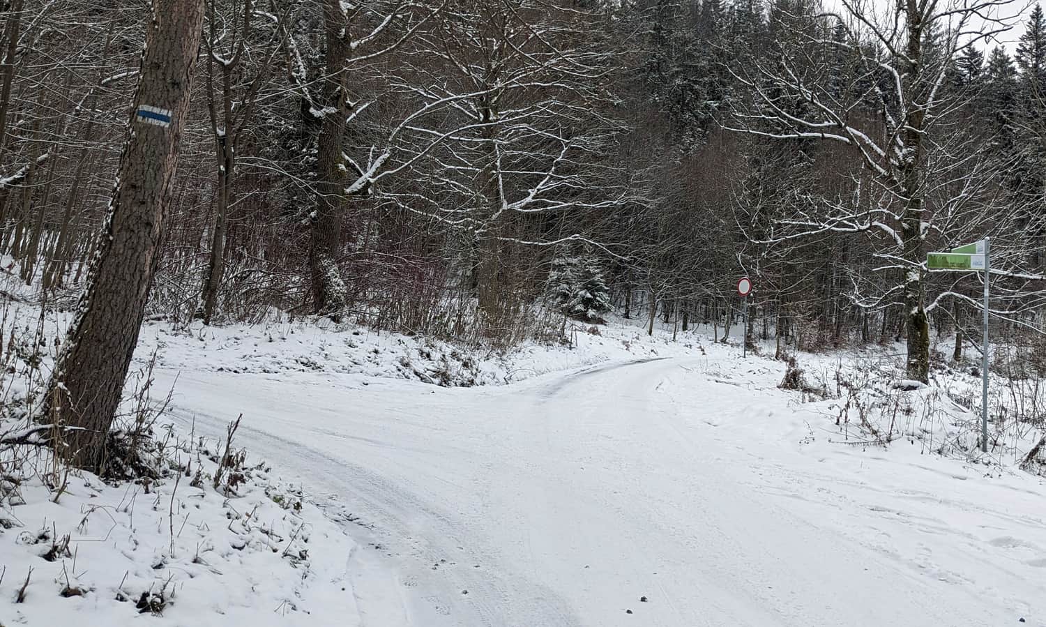
Mraźnica Settlement
Less than an hour into the hike, you reach the picturesque Mraźnica settlement. Its name comes from the place where winter sheepfolds were located, with sheep grazing on higher pastures in summer. After a short asphalt section, you enter the forest again and soon reach the Łączecko Pass.
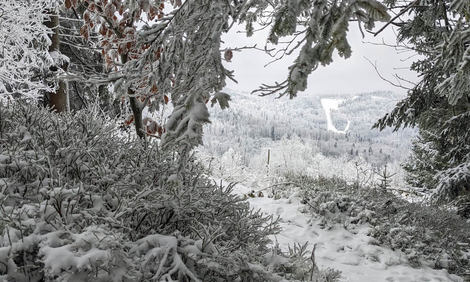
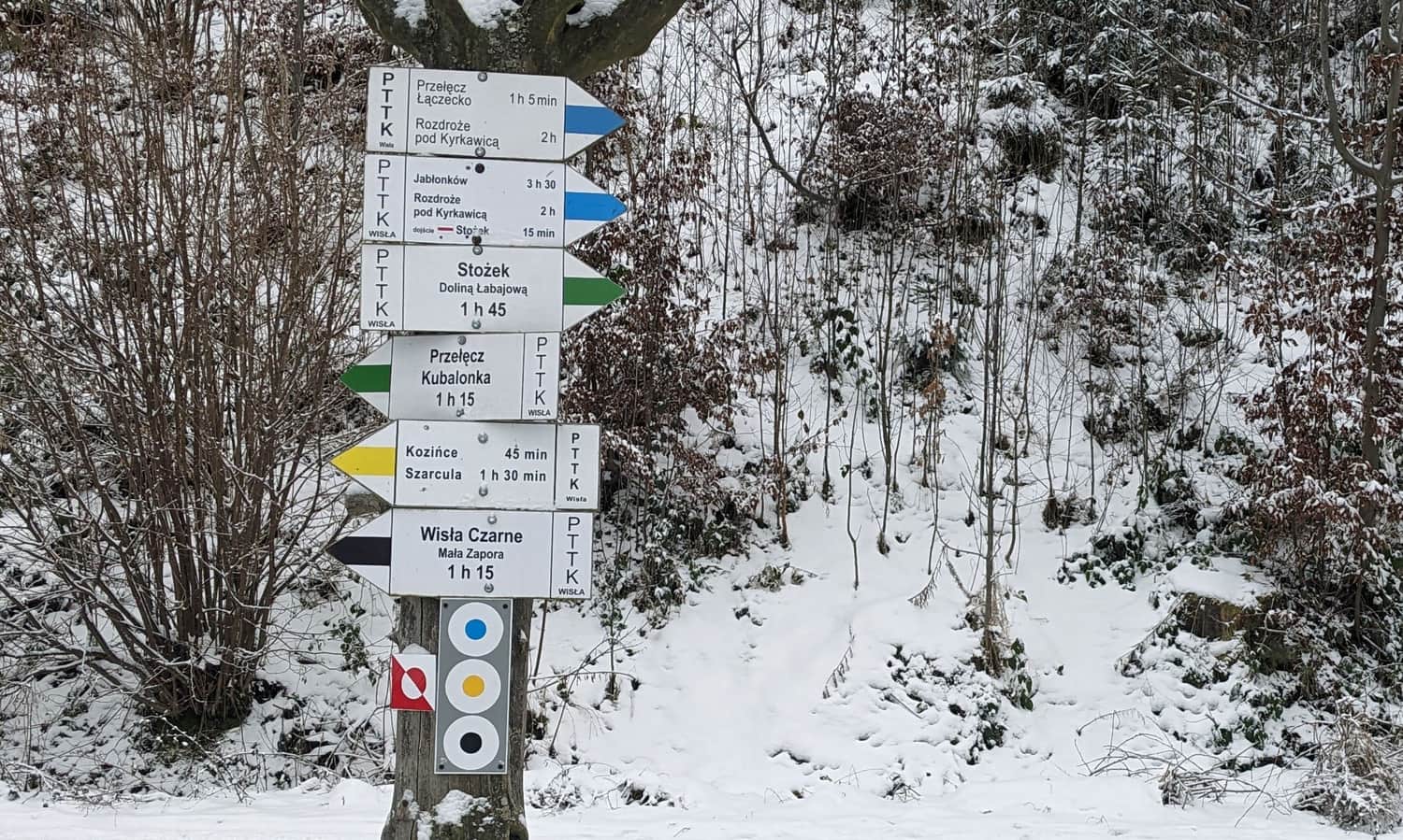
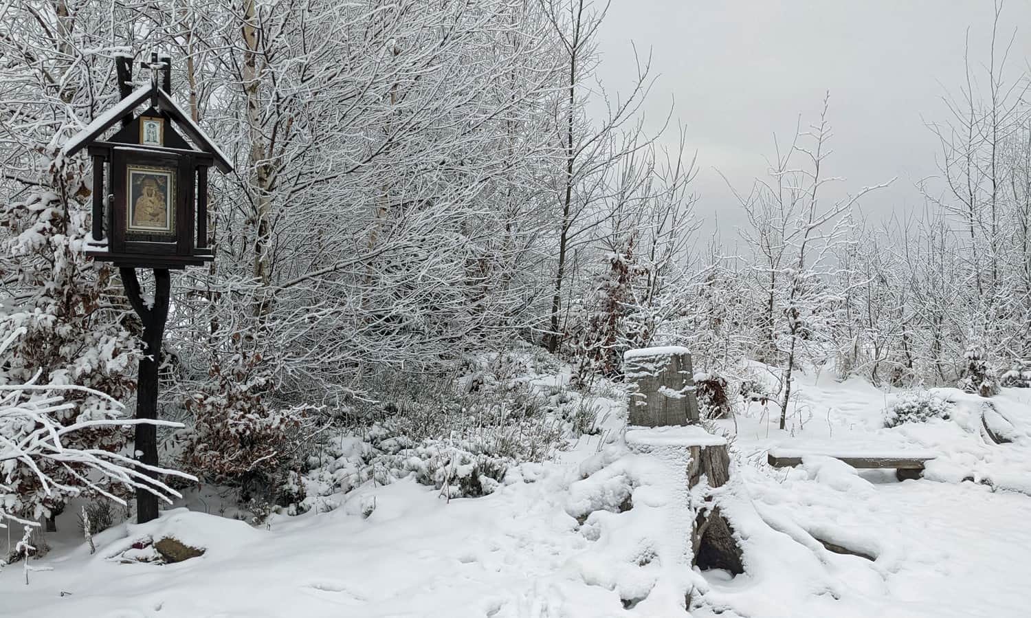
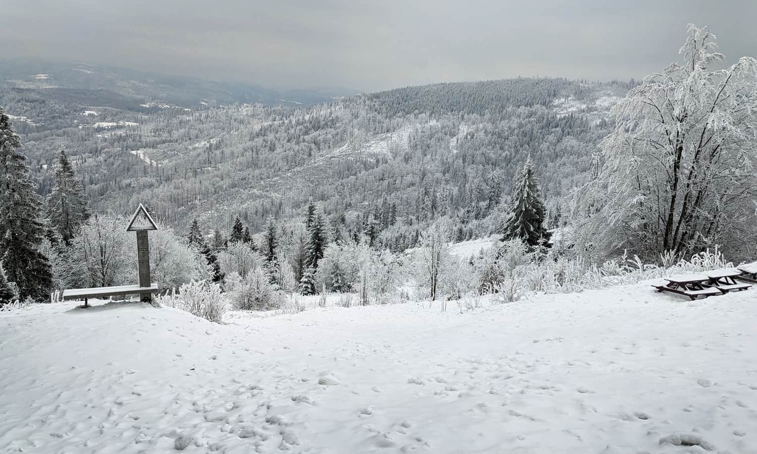
Łączecko Pass, 787 m above sea level
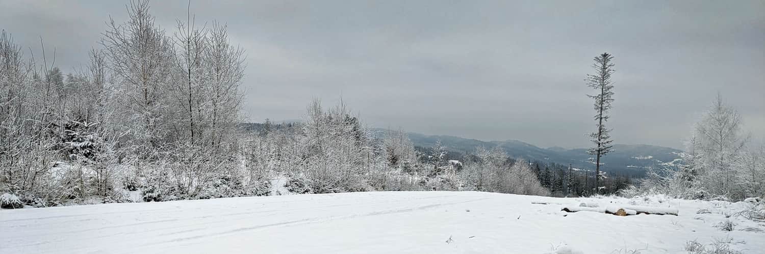
At the spacious Łączecko Pass, our blue trail intersects with the red Main Beskid Trail. This is halfway for us: we've covered half the distance and more than half the elevation gain to Stożek.
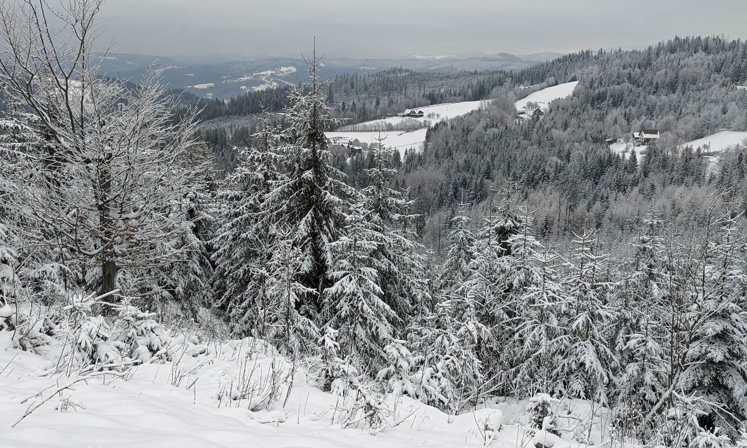
You can rest on a bench by the chapel here, and in good weather, enjoy views both north to the Upper Wisła Valley and south towards the Upper Olza Valley. You can see Czantoria, Barania Góra, Pilsko, the peaks of the so-called Raczański Pocket (including Rycerzowa and Wielka Racza), and even the Tatra Mountains.
From Łączecko Pass to Stożek: Blue or Red Trail?
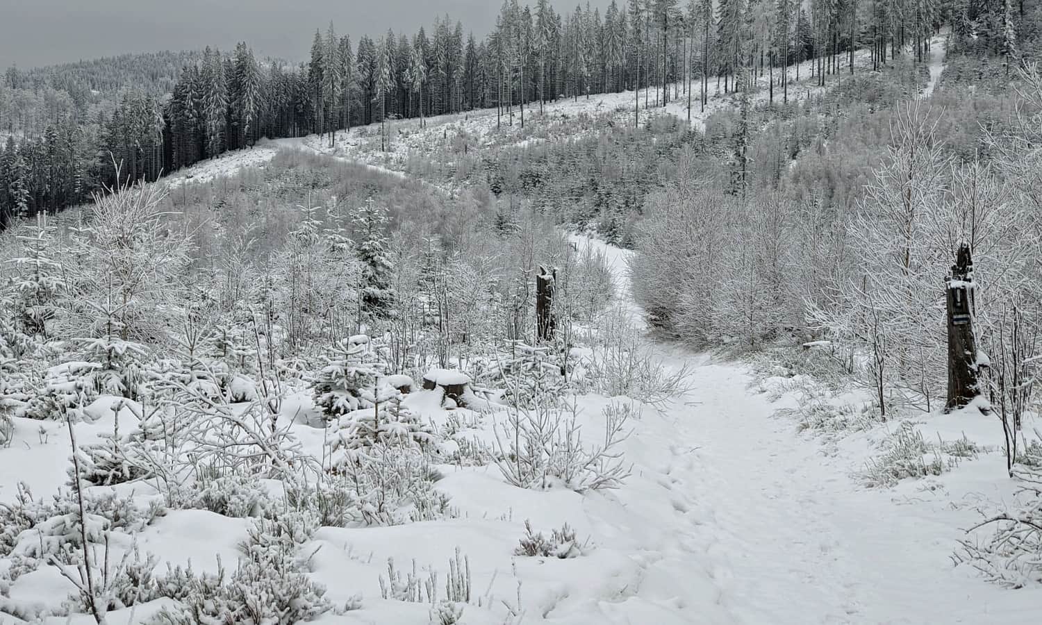
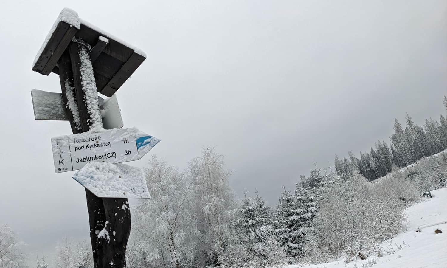
From Łączecko Pass to Stożek Wielki, you have two options: our blue trail, which is quicker and easier, following a comfortable forest path around the Kiczor peak, or the red trail through Kiczory (this route is a bit longer and steeper but offers additional attractions like rock formations).
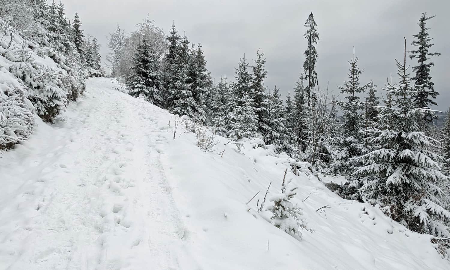
Choosing the blue markers, after about an hour, you reach the Polish-Czech border and an intersection with the red and green trails. Here, the blue trail descends into the Czech side, but you turn right and reach your destination in a few minutes.
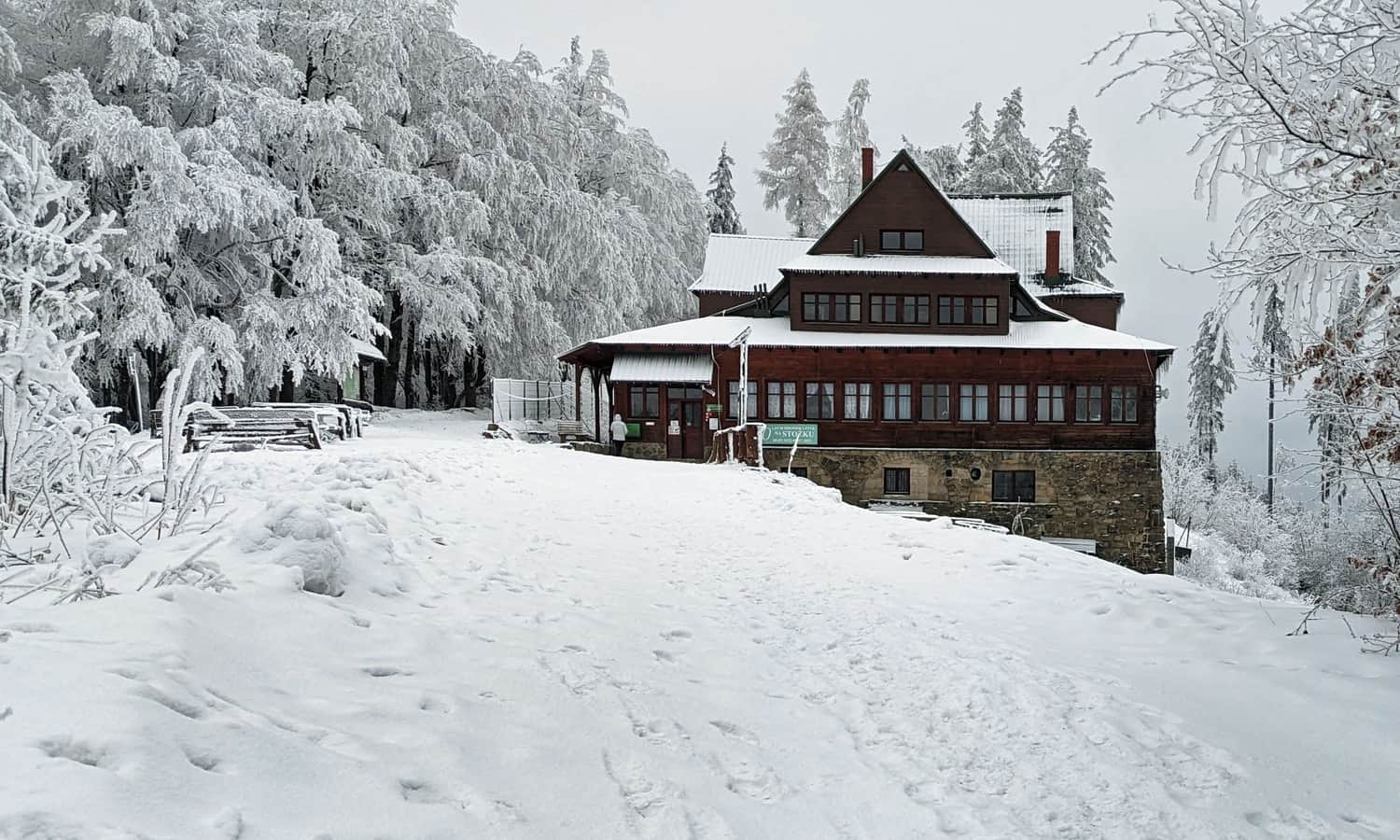
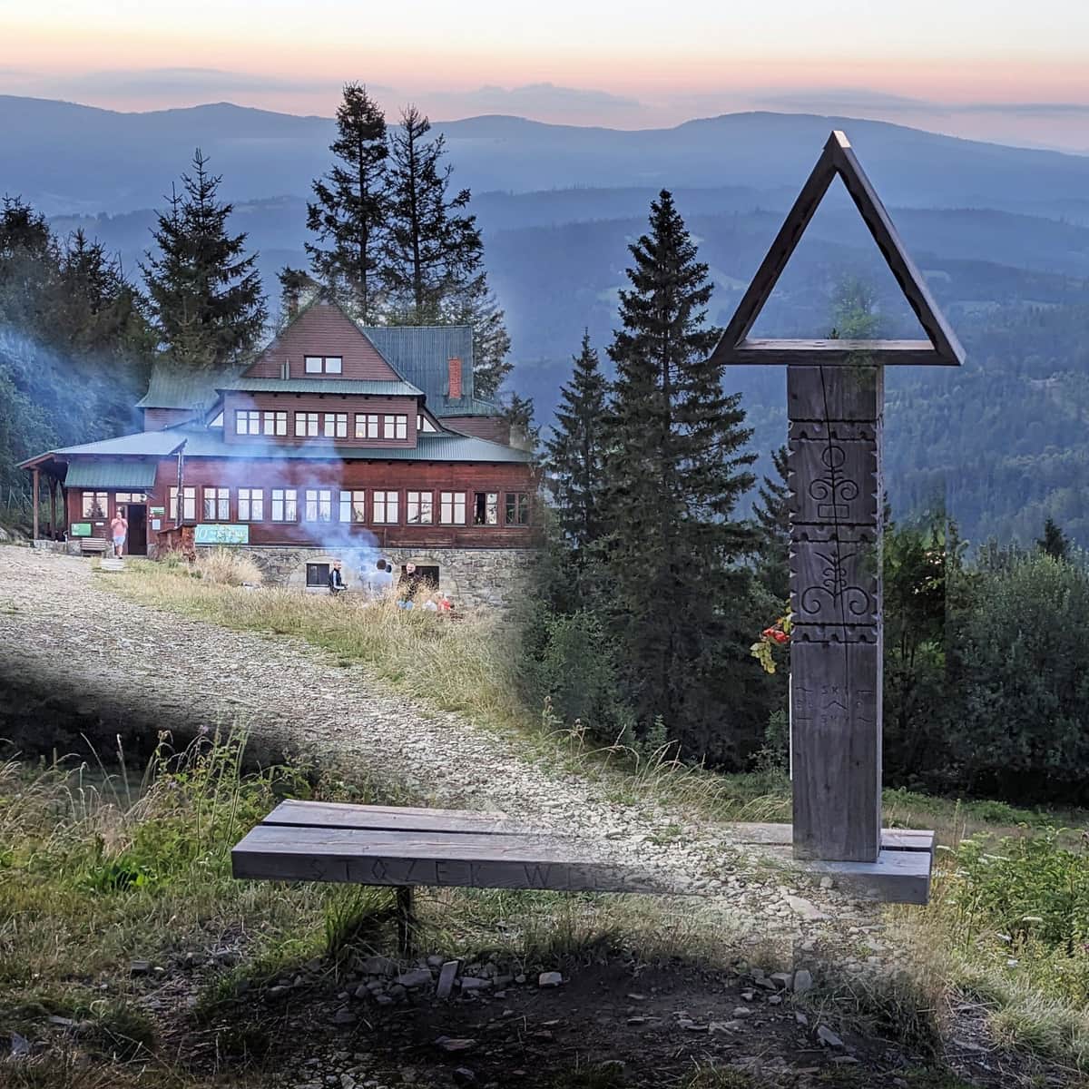
Stożek Wielki, 978 m above sea level. Mountain Hut, Views, and Other Attractions
At the top of Wielki Stożek, you can rest and have a meal at the mountain hut and enjoy the view from the clearing where it is located.
Find more interesting facts about this place here:
Stożek Wielki - All Trails to the Summit, Shelter, and Views
Stożek Wielki (978 meters above sea level) is a popular hiking destination in the Silesian Beskids and a beautiful spot to watch the sunrise and sunset. Which trail should you choose to reach Stożek Wielki, and what views and attractions await you? ...
You can return to Wisła Głębce via the same trail (descent takes about 2 hours) or the shorter green trail (about 1.5 hours). You can also continue along the ridge towards Soszów and Czantoria, and descend to Wisła via the yellow trail from the Stożek Mały settlement, yellow and blue through Krzakowska Skała (leading to Wisła Dziechcinka train station), or from Soszów via the green trail (leading to Wisła Uzdrowisko train station) or blue (to Wisła Jawornik train station).
Medium
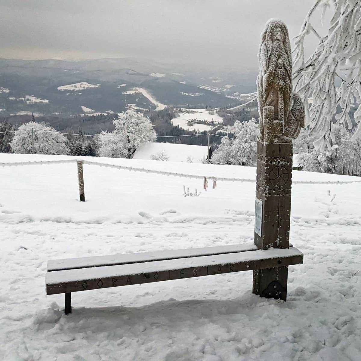
Winter Walk in the Silesian Beskids: Stożek - Cieślar - Soszów


More in the Region Beskid Śląski (Silesian Beskid)


