Blue trail from Wapienica Valley to Błatnia
Nearby: Bielsko-Białabeach_access Route in the shade
restaurant Restaurant or bar nearby
directions_car Access by car
directions_bus Access by public transport
wc Toilet along the route
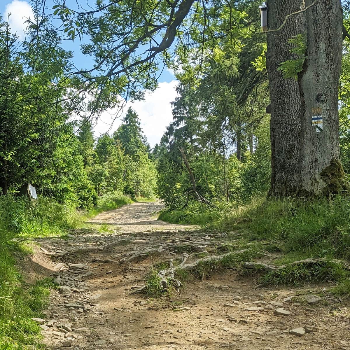
The blue trail from Wapienica to Błatnia, 917 m above sea level, is a medium-difficulty hiking route. Along the way you will pass a few interesting places connected with local history. At the end, there is a scenic summit and a friendly mountain hut.
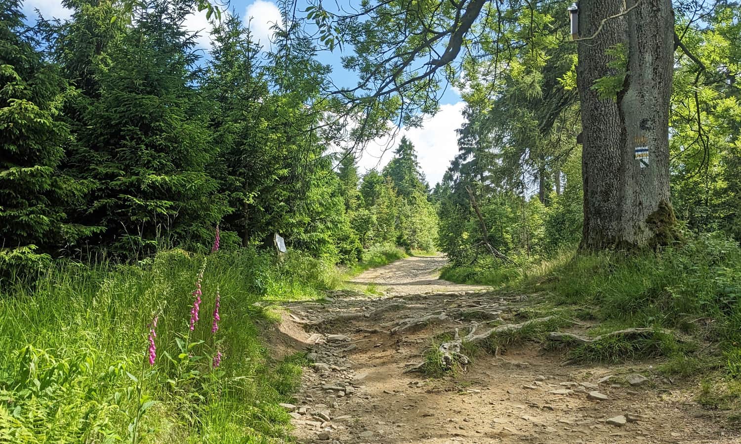
Start of the blue trail in Bielsko-Biała Wapienica
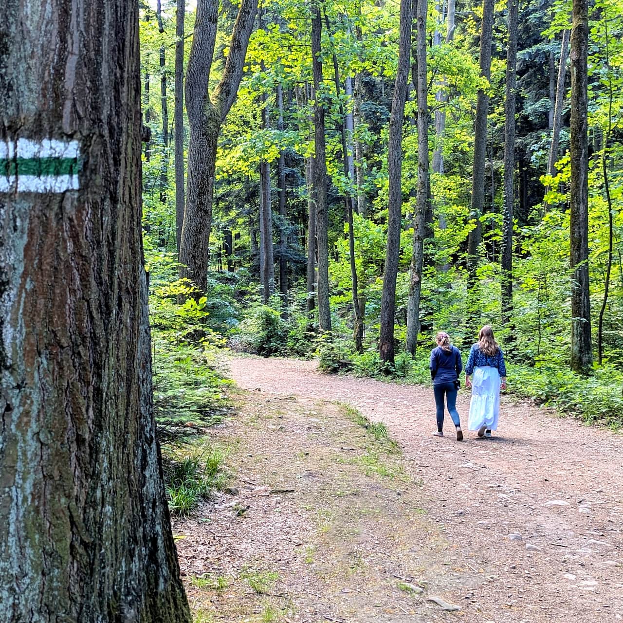
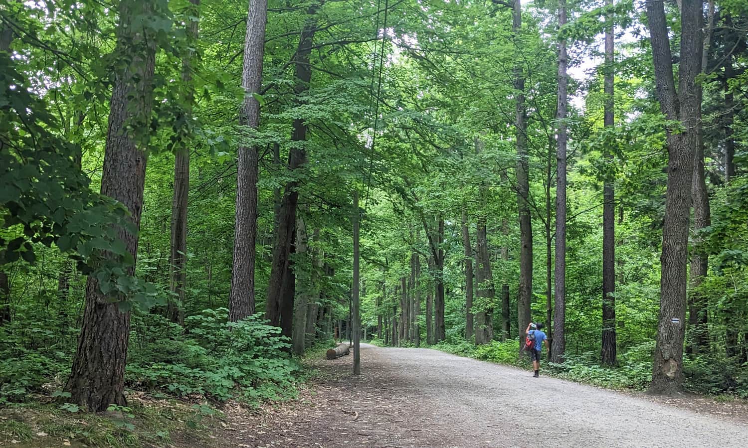
Wapienica is a district of Bielsko-Biała. You can get there by car or by city bus, including directly from the main train station. The first part of the hike goes through the forested Wapienica Valley. The road here is straight, wide, and comfortable, so it is a good warm-up before the steeper climb.
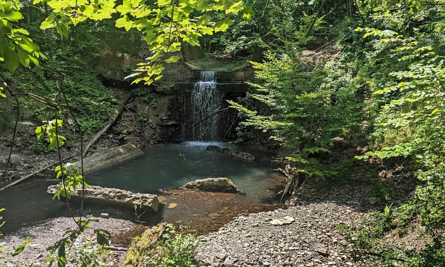
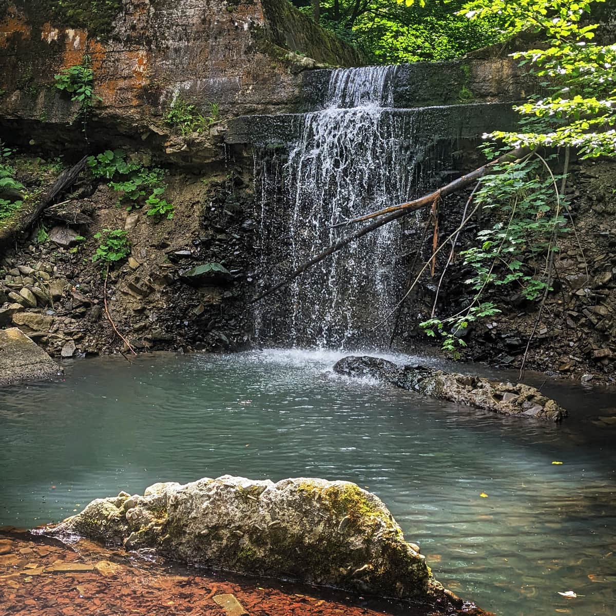
On the way, you can see a small but picturesque waterfall. Be careful, because the descent is down a steep slope. You will also pass the artificial water reservoir "Wielka Łąka".
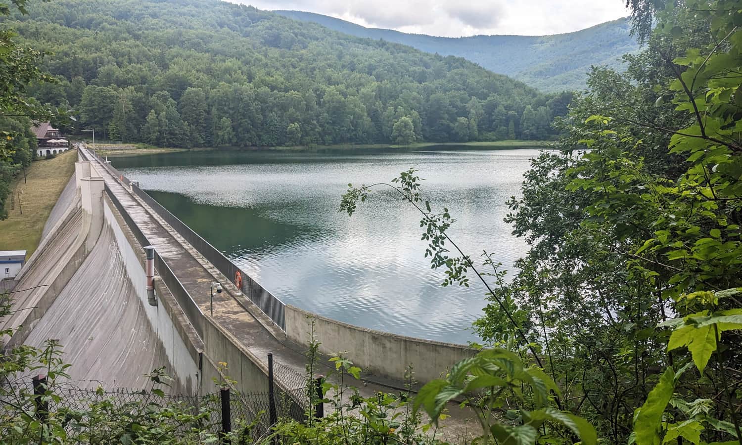
Did you know that this valley was a favorite walking place of Duchess Luiza Sułkowska? You can find more photos and interesting facts about this place in this article:
Wapienica Valley and Wielka Łąka Reservoir
Wapienica Valley, near the Wielka Łąka Reservoir, is a great place for a walk in the forest. The paths are comfortable, and there is a large car park and places to eat nearby. ...
From Wapienica Valley to Palenica
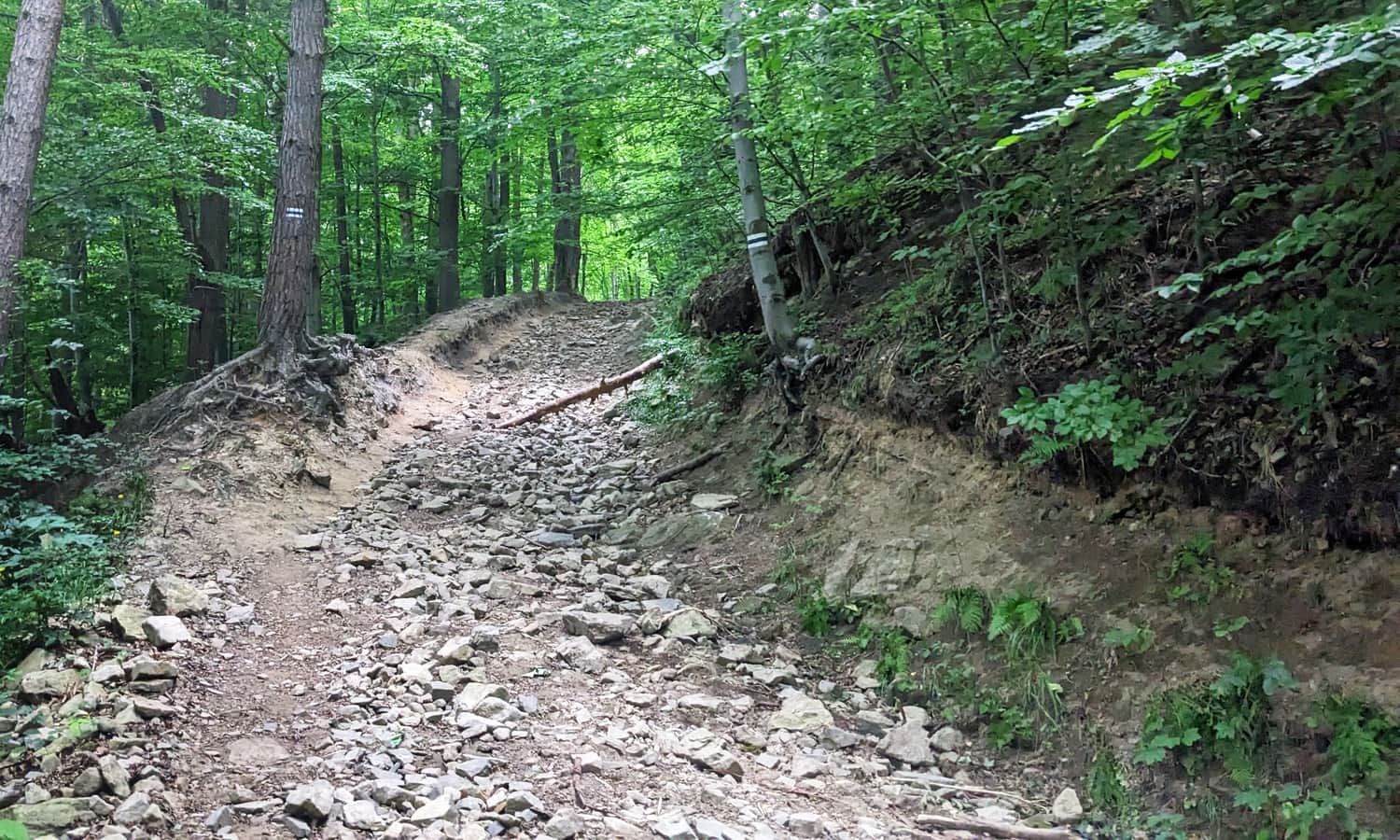
After you reach the area near the Wielka Łąka reservoir, where you can see the water between the trees, the real climb begins. This is the hardest and steepest part of the whole route to Błatnia. The blue trail climbs along a stony road to the top of Palenica. In less than 1 km, you gain about 200 m of elevation.
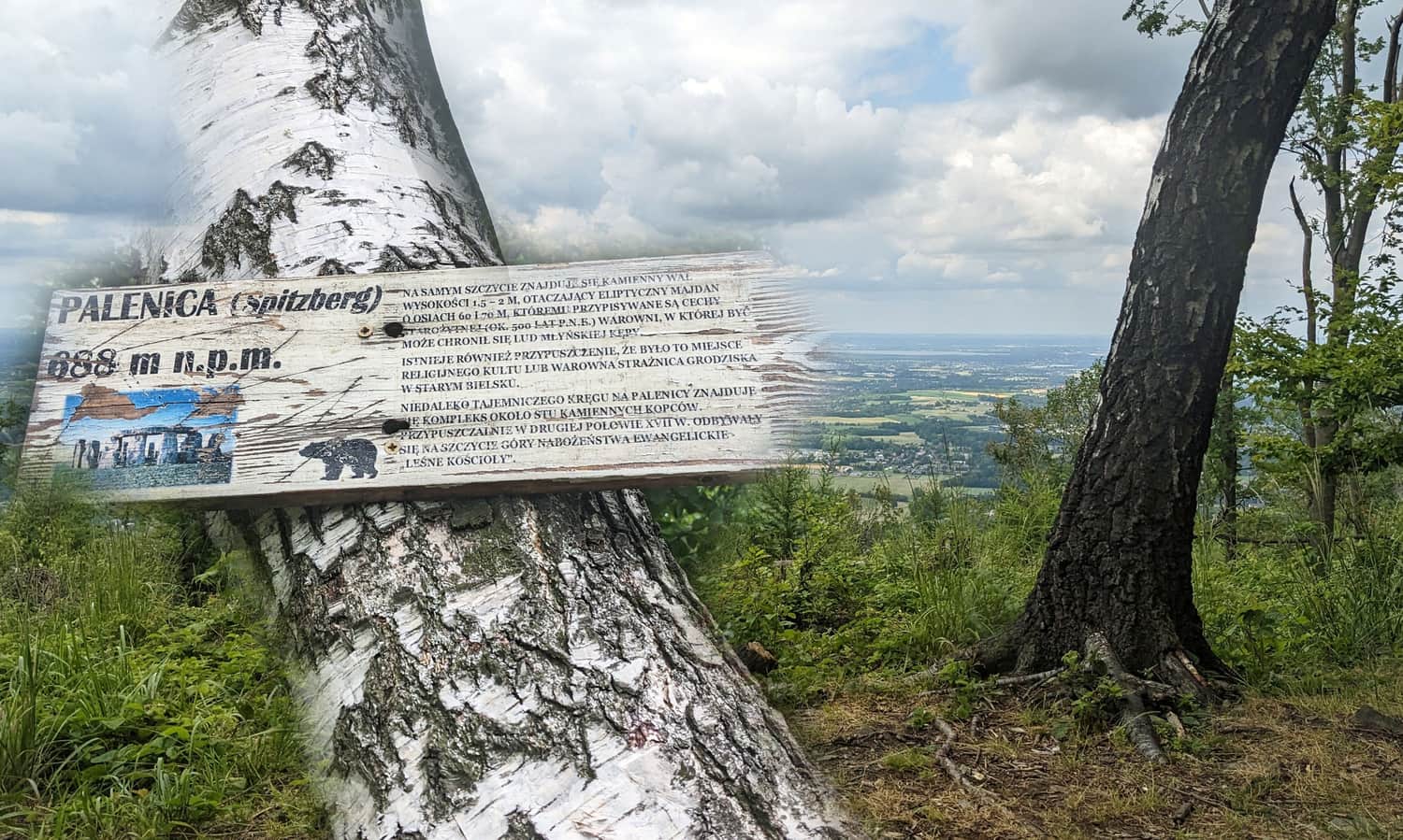
Palenica, 688 m above sea level
At the top of Palenica, it is worth stopping not only to rest after the steep climb, but also to learn about this unusual place. To do this, leave the marked trail for a short time and take the narrow but visible path to the right. It leads to the actual summit. After about 200 m, you will reach a viewpoint and a place connected with stories about a mysterious stone circle and stone mounds. Some people wonder if it was once a pagan place of worship.
From Palenica to Wysokie, 756 m above sea level
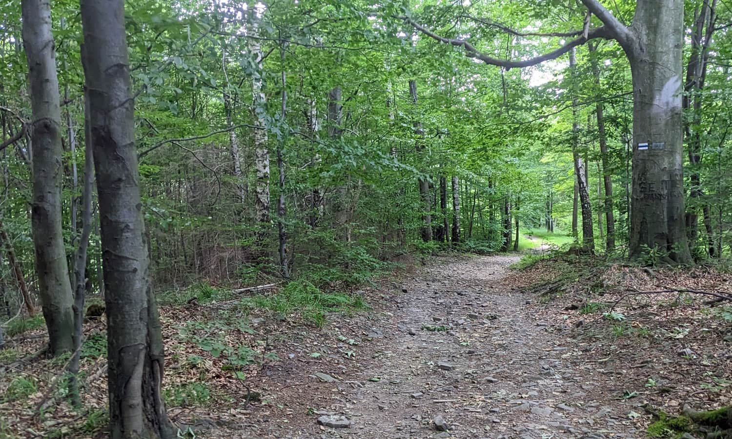
After reaching Palenica, you continue with an easier walk along the ridge towards Wysokie. The elevation changes are small here, and between the trees you can find small openings with views. On the left, you pass the border of the "Jaworzyna" Nature Reserve, which protects, among other things, a forest with many sycamore maples.
Forest church in Jaworze
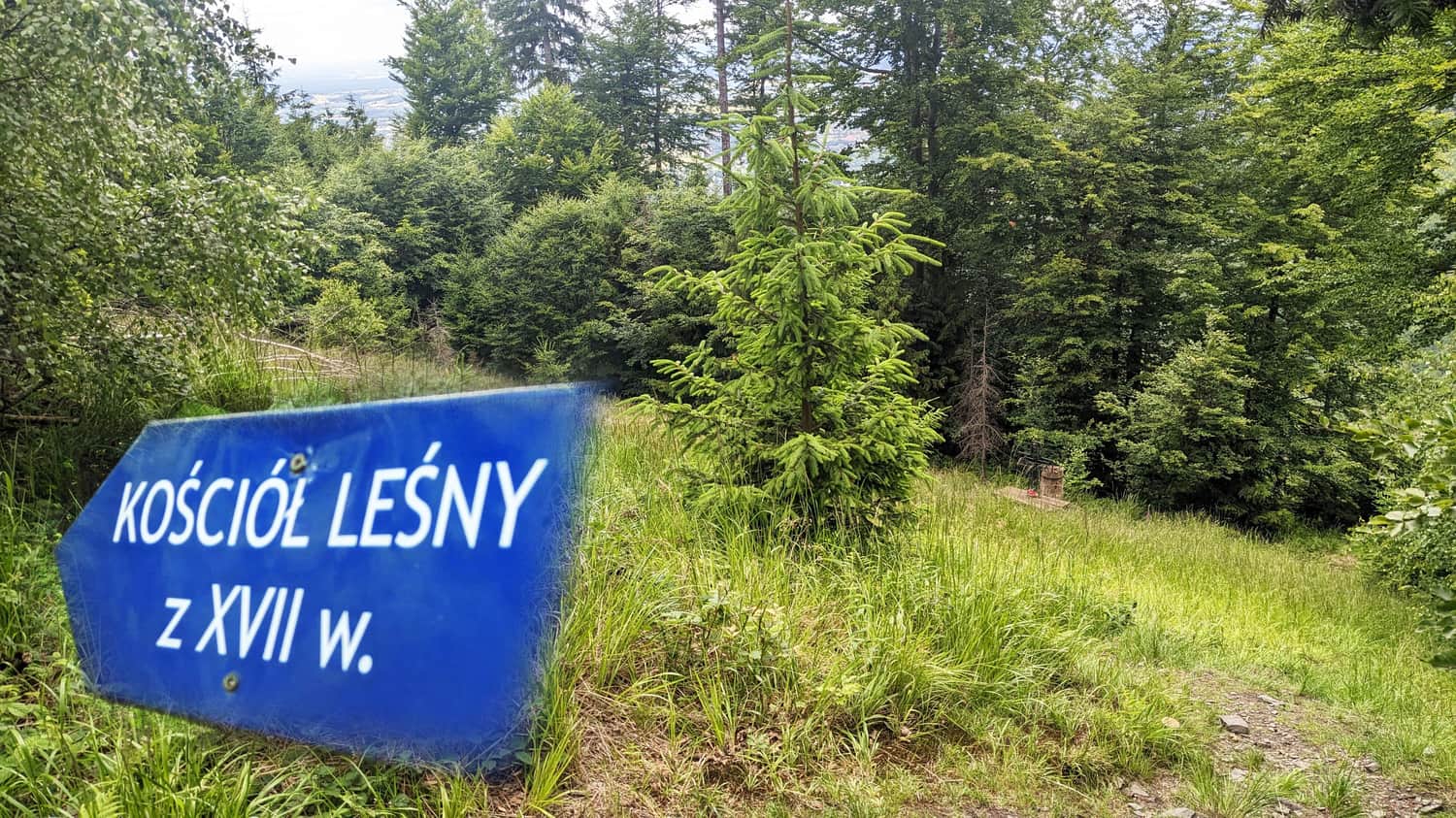
At the sign marking the Wysokie summit, it is worth leaving the blue trail again and taking a fairly wide road to the right. After about 10 minutes, and after another turn to the right, you will reach the so-called "forest church". This was a place where secret Protestant services were held during times of religious persecution.
From Wysokie through Przykra to Błatnia
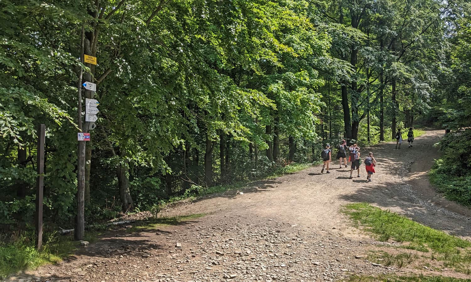
Return to the blue trail and continue along a comfortable forest road. After reaching the summit of Przykra, 824 m above sea level, you go down to the pass called "Siodło pod Przykrą". From there, get ready for the final climb to the summit.
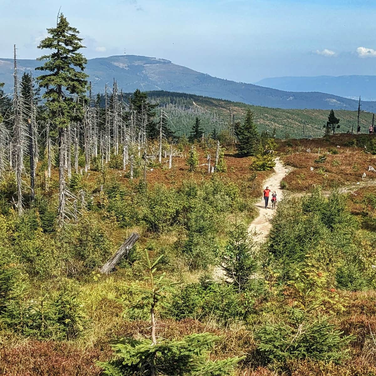
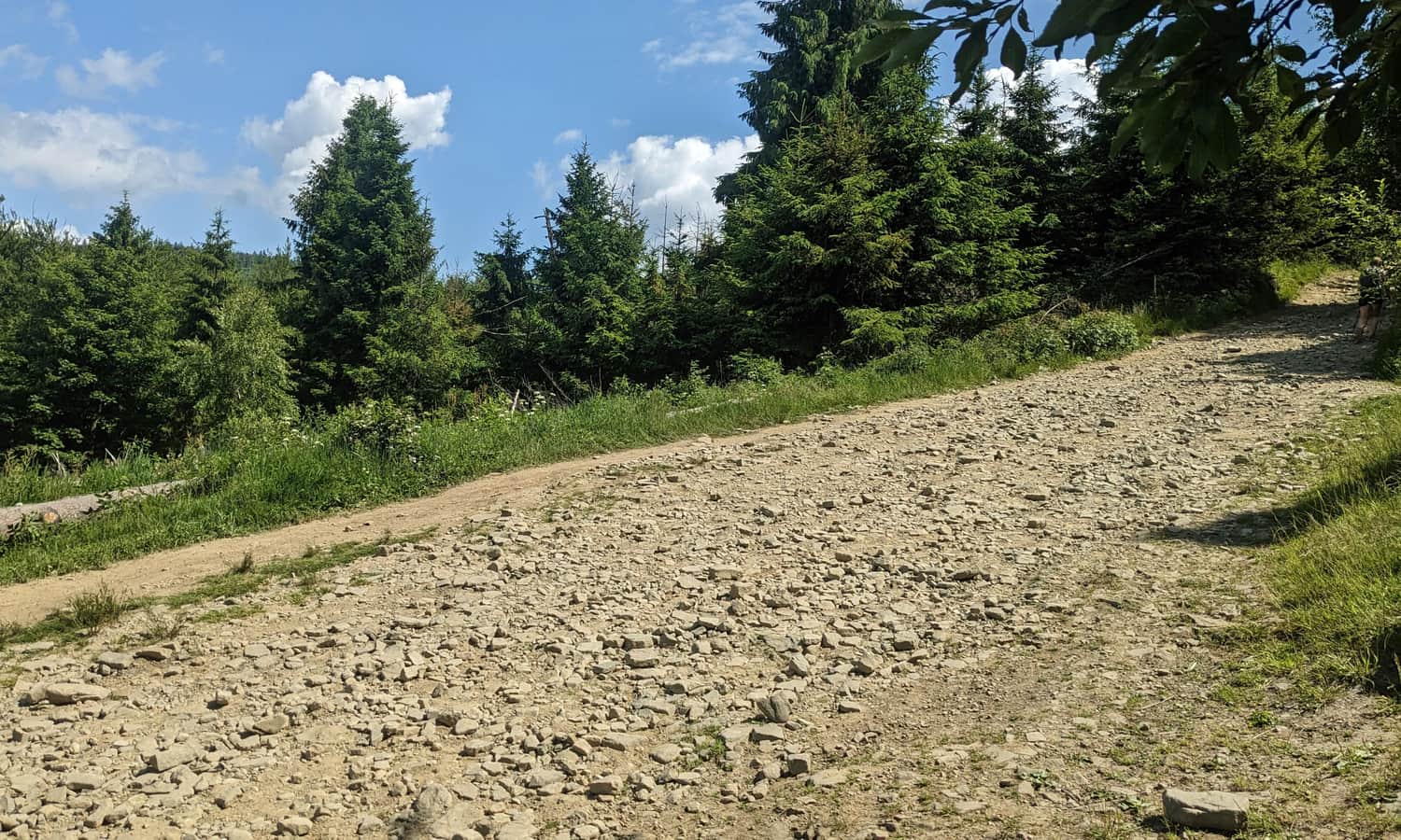
The climb to the top of Błatnia again requires gaining more elevation. This time it is about 100 m over a distance of 1 km, so it is easier than the climb to Palenica. On a sunny day, the lack of shade may be a problem, because this part goes across open scenic meadows.
Trail to the mountain hut and to the summit of Błatnia
Important: when you get close to the summit of Błatnia, the blue trail signs, together with the yellow signs that joined the route at Siodło pod Przykrą, turn right. This way leads first to the mountain hut and only later to the summit. If you want to stand on the highest point of Błatnia first and rest in the hut afterward, choose the path more to the left, marked with white and green squares.
Błatnia, 917 m above sea level
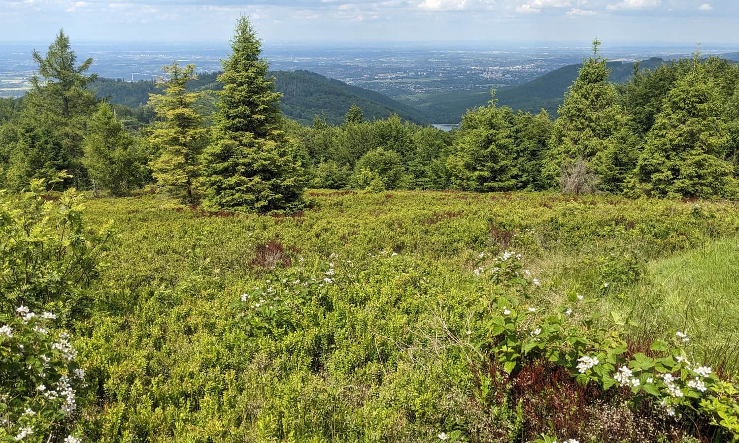
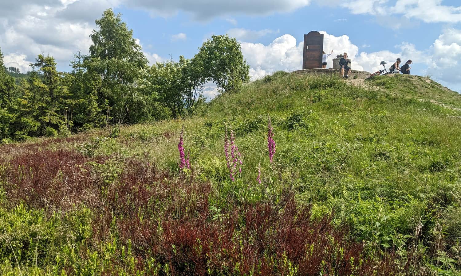
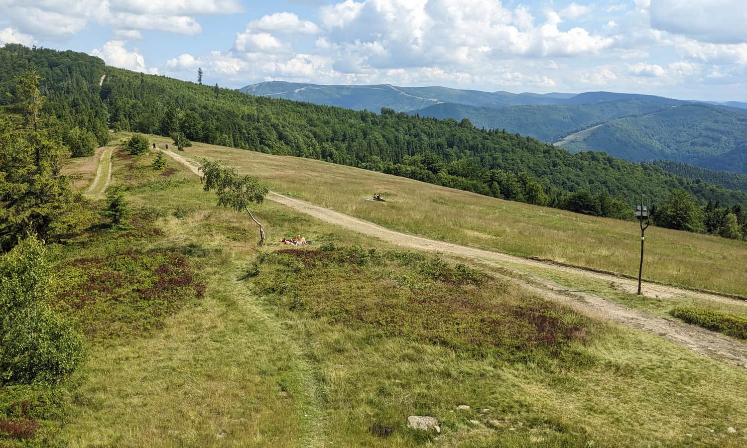
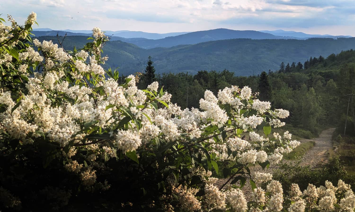
The summit of Błatnia is a beautiful open meadow with wide views. From here you can see the panorama to the south, towards Skrzyczne, Barania Góra, and the Upper Vistula Valley. You can also see part of the view to the north. An extra attraction is a huge wooden "throne" for hikers who reach the summit.
PTTK Błatnia Mountain Hut
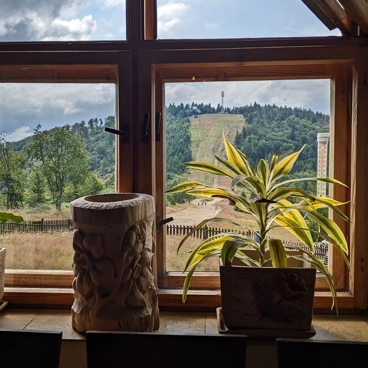
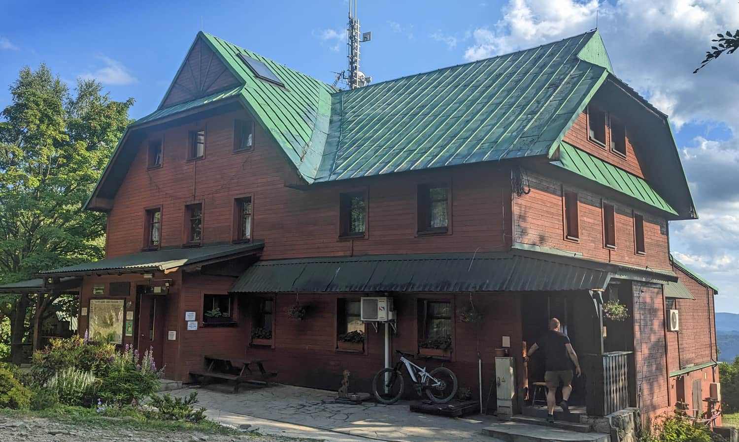
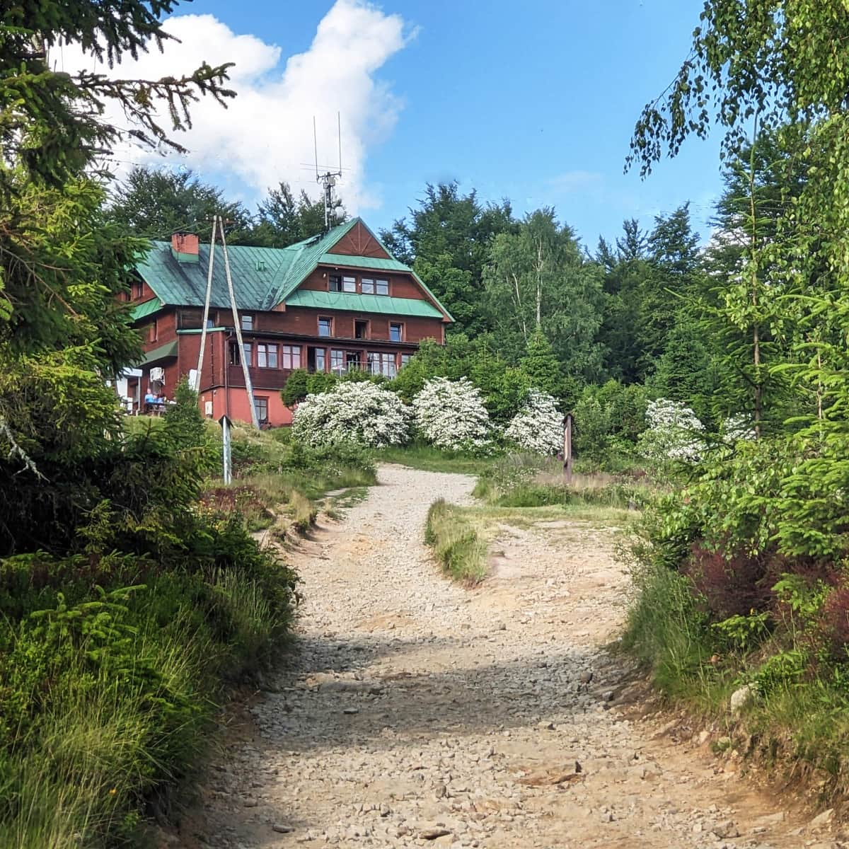
The cozy PTTK Błatnia Mountain Hut is about 200 m from the summit. PTTK is a Polish tourist organization that runs many traditional mountain huts. To reach the hut from the summit, follow the yellow signs west. You can rest here, eat something, buy a souvenir, and use the toilet. The hut offers accommodation, simple hot meals, snacks, and drinks. The view is not as wide as from the summit, but it looks in a slightly different direction, more to the south-west, towards the Stożek and Czantoria mountain ranges.
You can read more about Błatnia, its attractions, and other trails to the summit here:
Błatnia - mountain hut, trails, and views
Błatnia, 917 m above sea level, is not a very prominent mountain, but it has beautiful views. It is in the northern part of the Silesian Beskids in southern Poland. It is easy to reach, has many marked trails, and there is a small mountain hut where you can rest. This makes Błatnia a popular hiking destination. ...

More in the Region Beskid Śląski (Silesian Beskid)