
Równica from Ustroń - two trails
Nearby: Bielsko-Biała| Distance | 9.4km |
|---|---|
| Time | 3h 44min |
| Ascents | 555m |
| Descents | 528m |
beach_access Route in the shade
restaurant Restaurant or bar nearby
sports_tennis Attractions for children
directions_car Access by car
train Access by train possible
wc Toilet along the route
Równica (884 m above sea level) is a low, but easily accessible and very scenic peak in the Silesian Beskids. How to get to Równica from Ustroń and which of the two trails to choose? What attractions await us along the way, and what at the very top?
Red trail to Równica from Ustroń x 2!
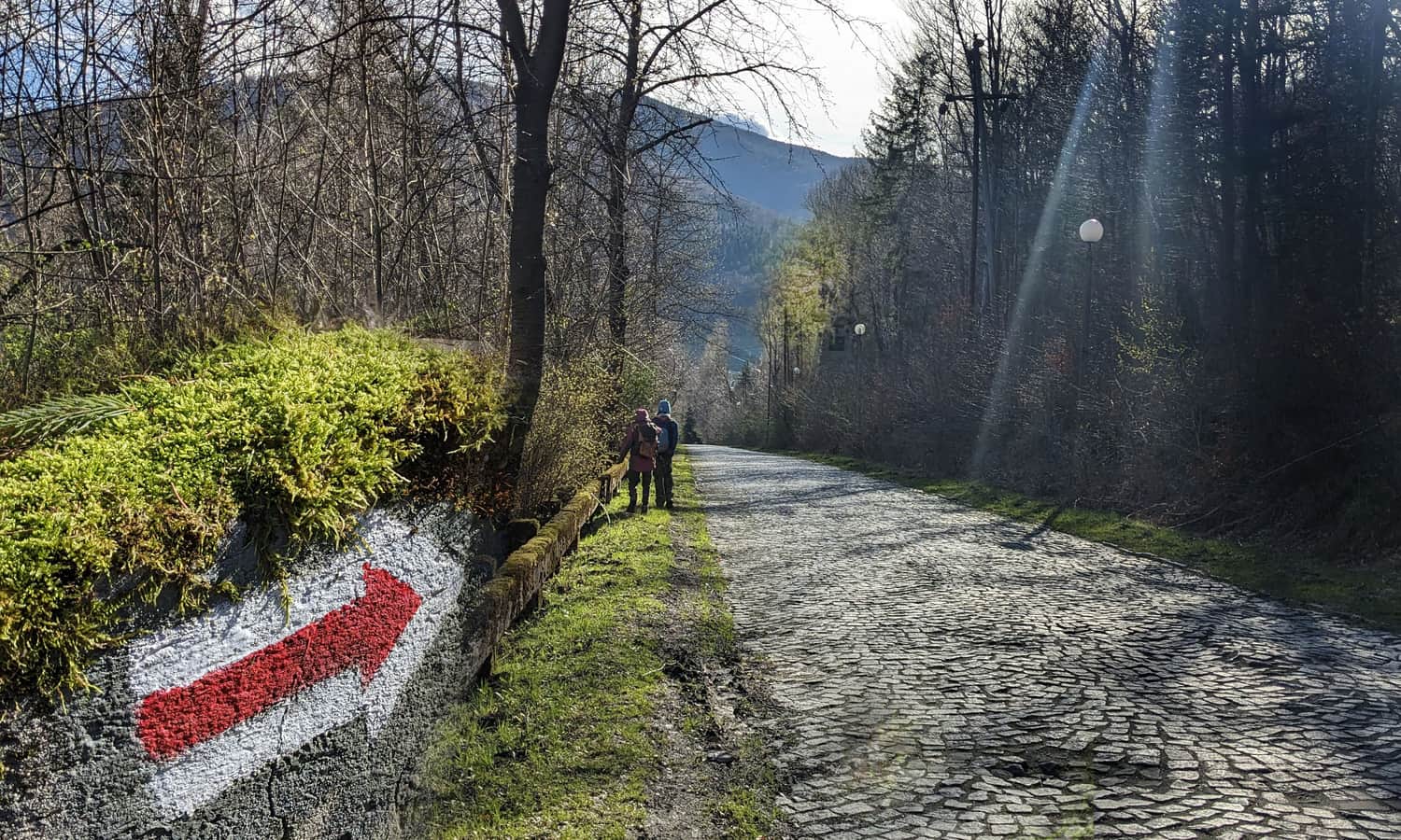
It happens that when setting out from Ustroń to Równica we have two routes to choose from: the red trail from Ustroń Polana and also the red trail from Ustroń Zdrój. In reality, it's the same trail, which turns back under the summit of Równica and descends back to another place in the same town.
Ustroń Zdrój - Równica
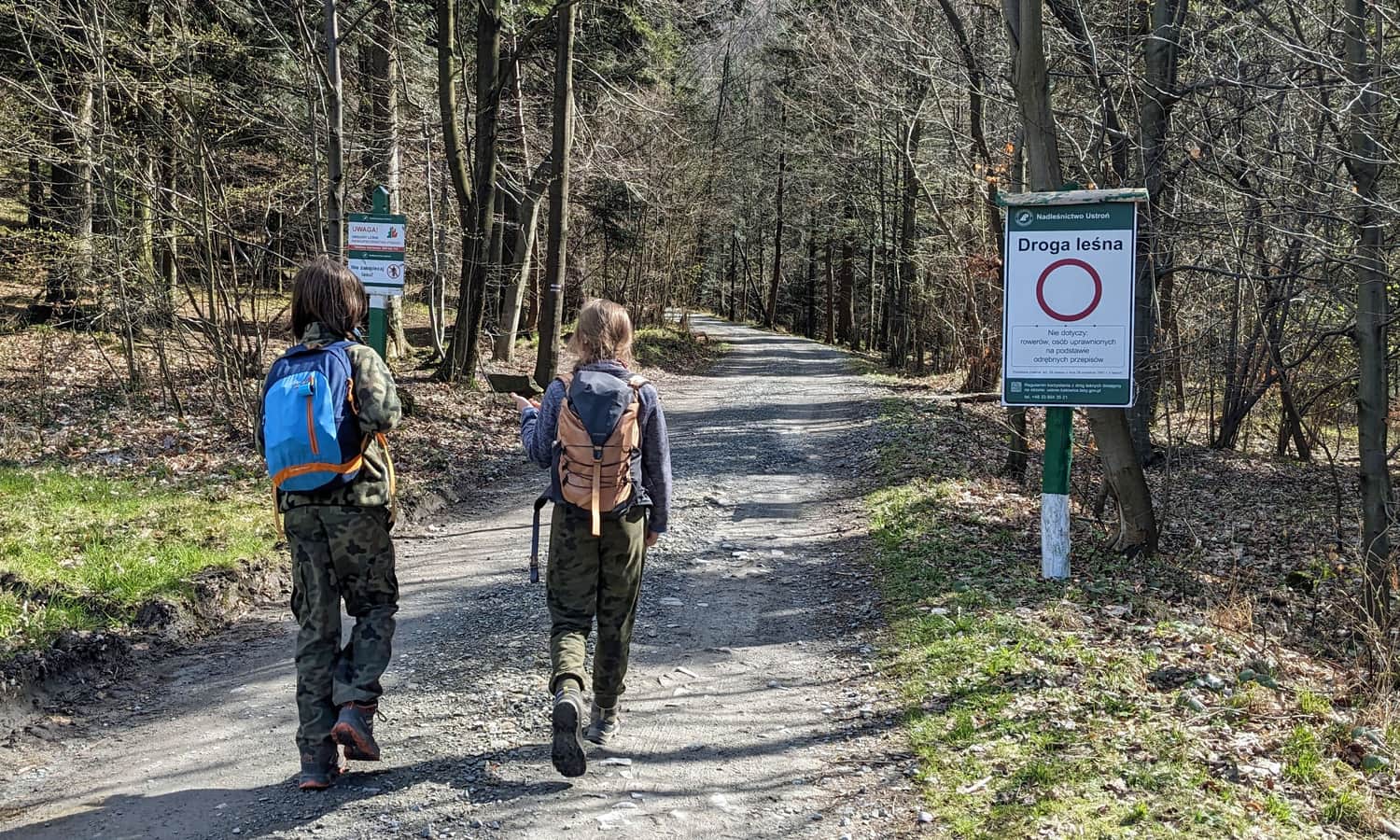
The red trail starts at the PKP Ustroń Zdrój station. This is where the famous "dot" is located, which is the beginning (or end) of the longest mountain trail in Poland: the Main Beskids Trail, measuring as much as 500 km! It's worth leaving the car in the parking lots in the town center, as there will be no such possibility just before entering the forest.
The first section of the trail is a walk up the Gościeradowiec stream through the spa town's streets. The "Gościeradowiec" path leading to the Iron Source was laid along the stream valley. We can also descend to the very source from the red trail on Lecznicza Street.
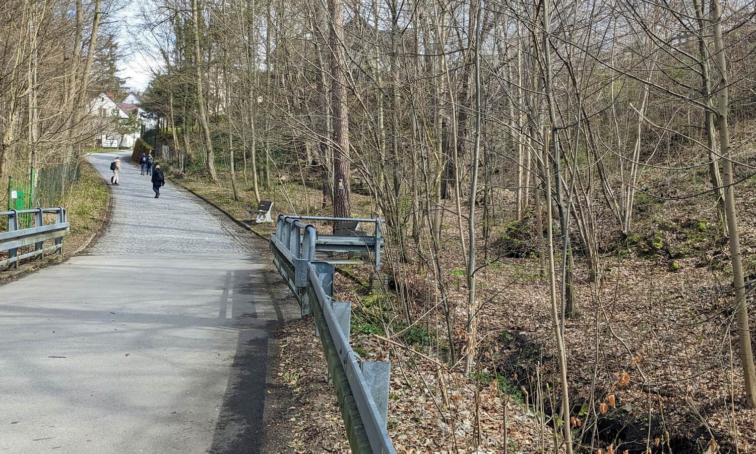
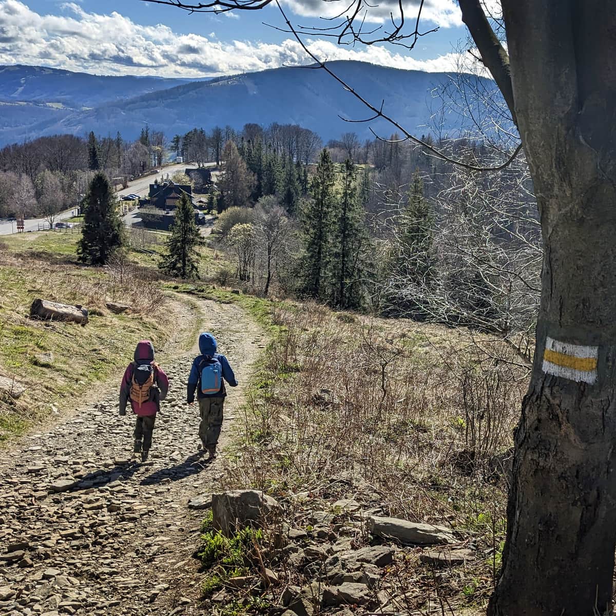
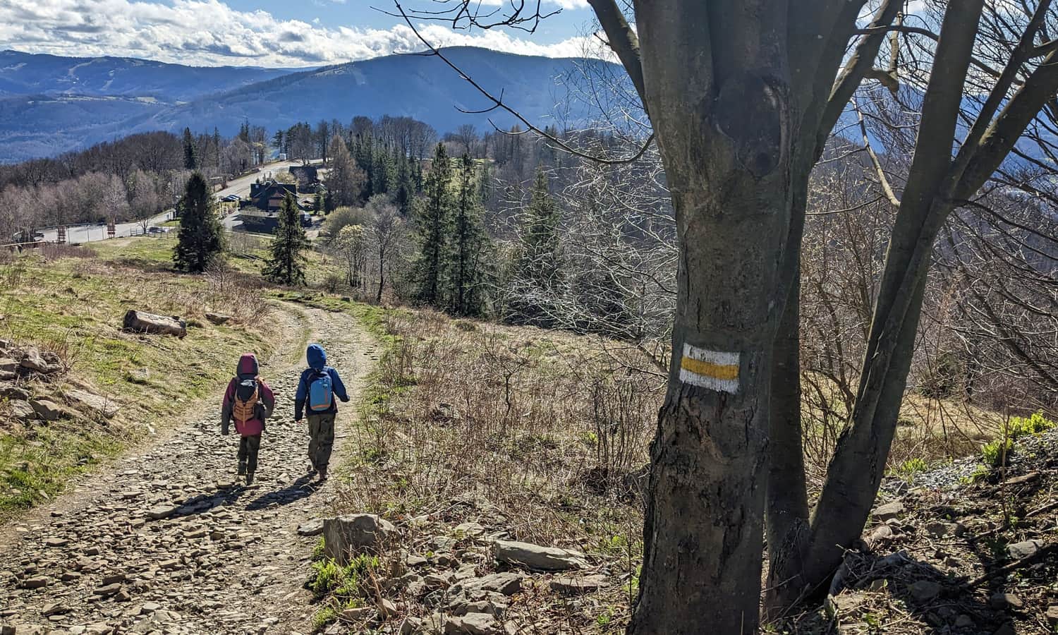
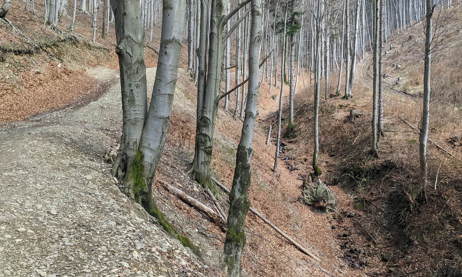
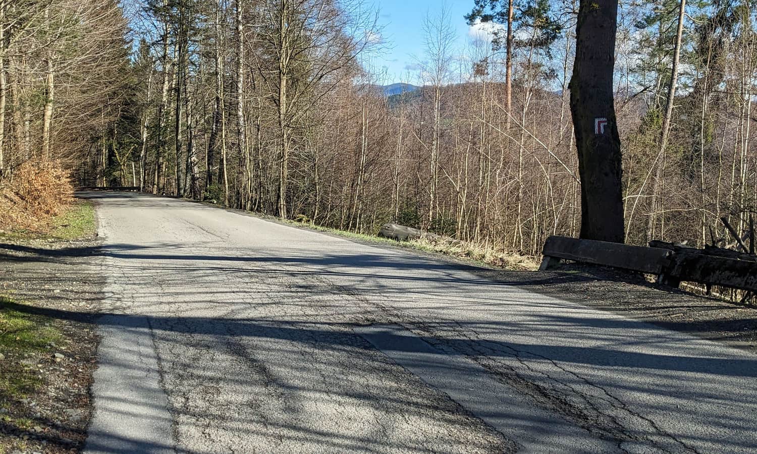
After about half an hour from the start of the trail in the center of Ustroń, we enter the forest. The road is wide and comfortable, but as we continue to climb up the Gościeradowiec stream, it gradually becomes steeper.
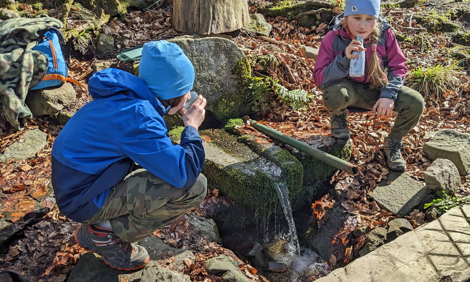
Evangelicals' Stone and spring on Równica
On the way to Równica, it's worth stopping (and resting after the steep climb) at the so-called Evangelicals' Stone. This is a place where secret services were held during the counter-reformation (second half of the 17th century) and persecution of Protestants.
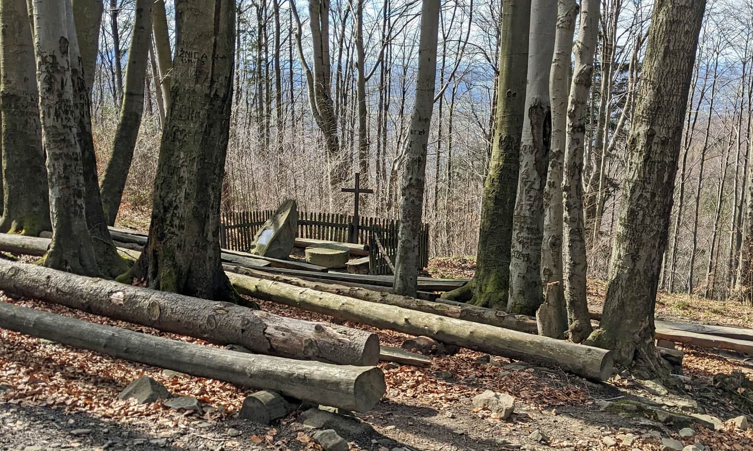
Today, we can try to read the words, dates, and symbols carved in stone, rest on forest benches, and drink refreshing water from the spring.
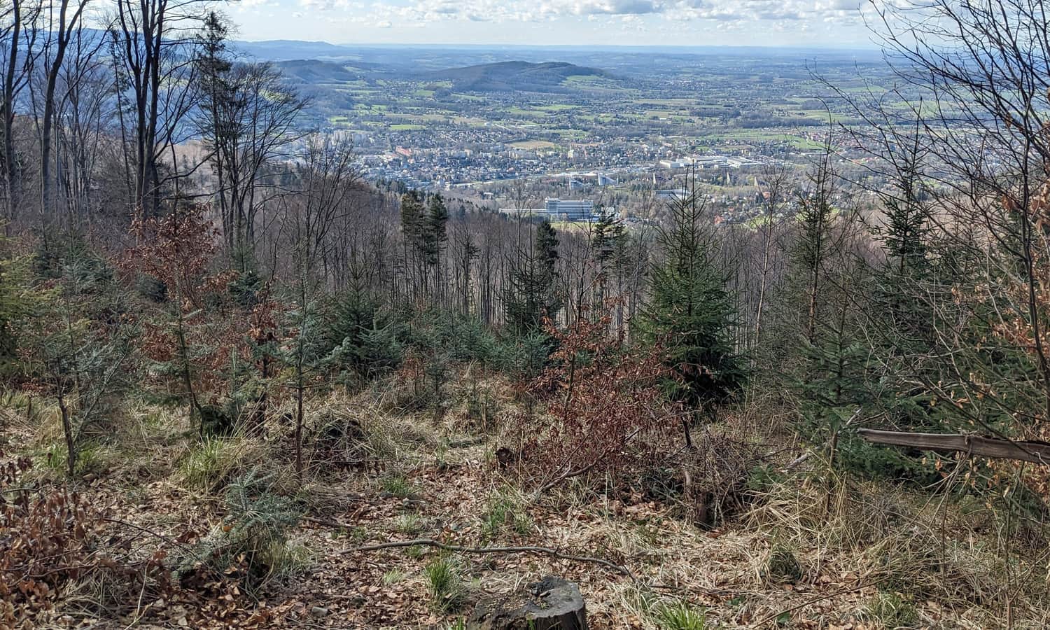
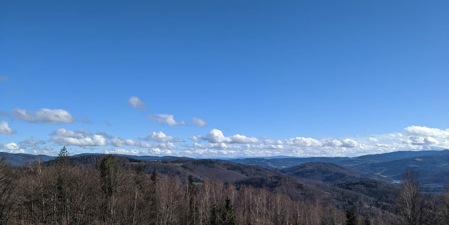
Along the way, there are a few viewing windows to the northwest:
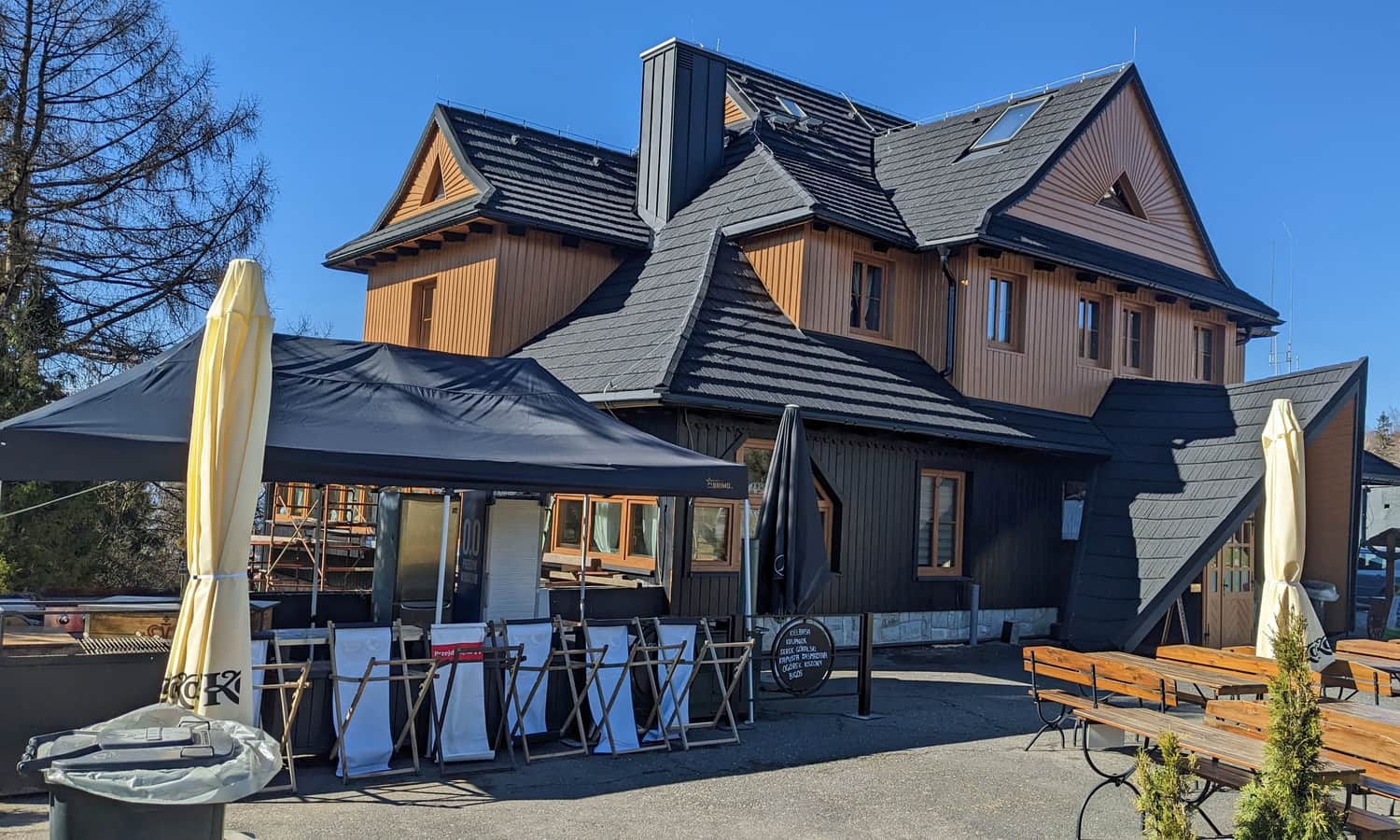
Równica - attractions and shelter
After about 1.5-2 hours from the start of the trail, we reach the former PTTK shelter on Równica, whose history dates back to the 1920s. Today, it's an elegant restaurant with the possibility of accommodation in the Inn. In addition, there are numerous parking lots (access road from Ustroń Jaszowiec), a rope park, and a bit below, an amusement park with a year-round toboggan run and other attractions.
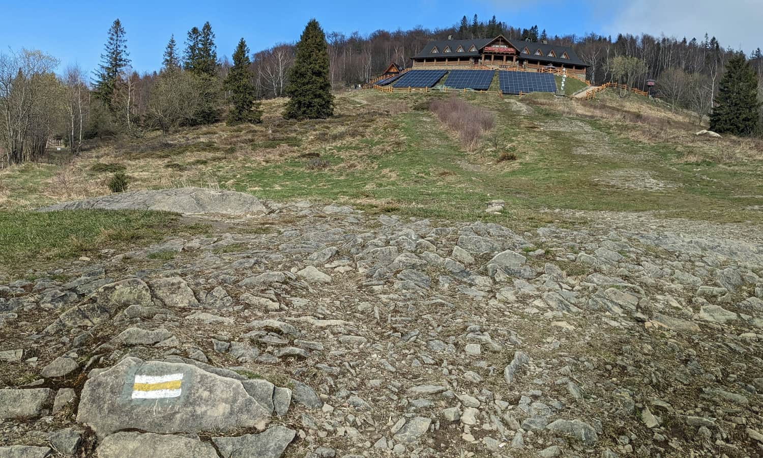
Yellow trail to the summit of Równica
To conquer the very summit of Równica, you need to climb up the yellow trail, through the meadows next to the manor-restaurant.
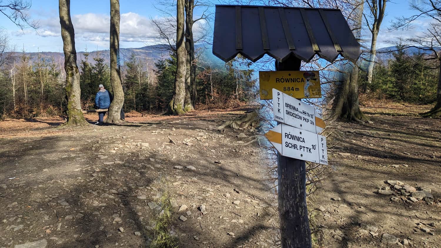
The climb to the summit of Równica from the shelter will take us about 15-20 min. The very top is forested, but you can peek between the trees to the northeast towards the Brennica valley.
Views from Równica
The most beautiful views unfold from the meadows at the edge of the forest under the summit of Równica. From here, you can see the valley of the upper Vistula, to the right the Stożek and Czantoria range, and behind them the Czech peaks of the Silesian-Moravian Beskids. Straight ahead, you can see the ridges of the Raczański Sack, including Wielka Racza. To the left, the Wiślańskie Range with Barania Góra and Malinowska Skała. With excellent visibility, you can even see the peaks of the Little Fatra.
Ustroń Polana - Równica
The second route from Ustroń to Równica, but also the red trail, leads from the PKP Ustroń Polana station up the Jaszowiec stream. However, this route has one downside: it crosses the access road to Równica several times, and partly also runs along its side.
The only real advantage of this route is that it can be combined into a loop with the Ustroń Zdrój - Równica trail: go up one side and down the other. Between the two stations Ustroń Zdrój PKP and Ustroń Polna PKP *distance approx. 3.5 km) Silesian Railways trains run, as well as local buses and minibuses.
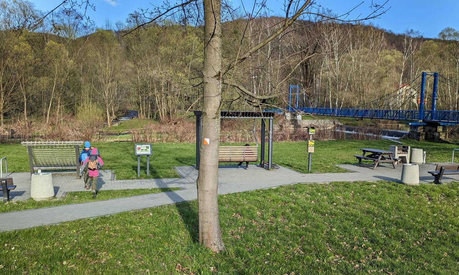
If we had to wait for transport in Ustroń Polana, or simply feel like resting after a hike, we recommend the picnic spot by the Vistula: right by the bridge and the red trail:

More in the Region Beskid Śląski (Silesian Beskid)


