
Trails to Lubań - peak and observation tower
Lubań (1211 m above sea level) is an incredibly scenic peak in the Gorce Mountains, on the border of the Beskid Sądecki and Pieniny ranges. From the observation tower, you can enjoy a picturesque panorama of the Tatra peaks, Czorsztyńskie Lake, the Dunajec River Gorge and the entire sea of Beskid hills!
Lubań - peak and attractions
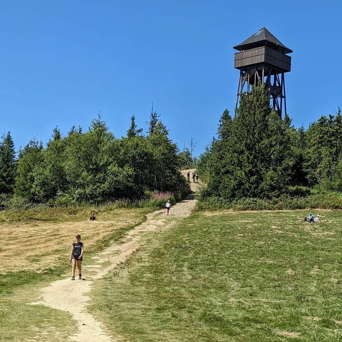
What awaits us at the top of Lubań? First and foremost, an observation tower, but more on that in a moment. Before we get there, let's stop at the picturesque clearing where, in the summer season, there is a student tent base, belonging to the Student Mountain Guide Group in Krakow. It's busy and cheerful here in the summer!
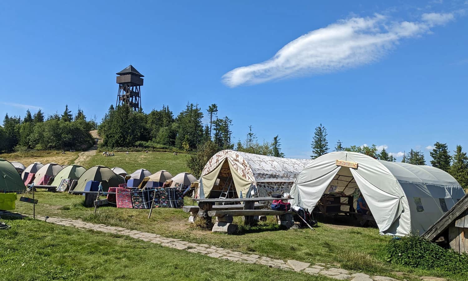
Throughout the year on the clearing, you will find benches, tables, and a covered shelter.
Shelter on Lubań?
Near the clearing under Lubań, we will find the foundations of a former mountain shelter. The first one was burned down during World War II during a hunt for partisans stationed here. In the 70s of the 20th century, a small shepherd's hut was built here, which unfortunately only survived for two years - it was destroyed by a fire.
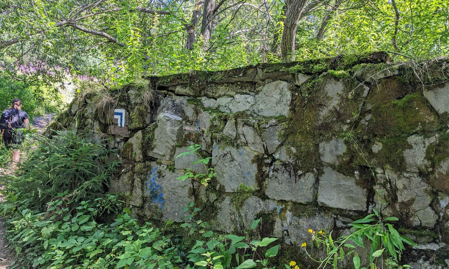
A few years ago, a project for a new shelter was created, but so far construction has not started.
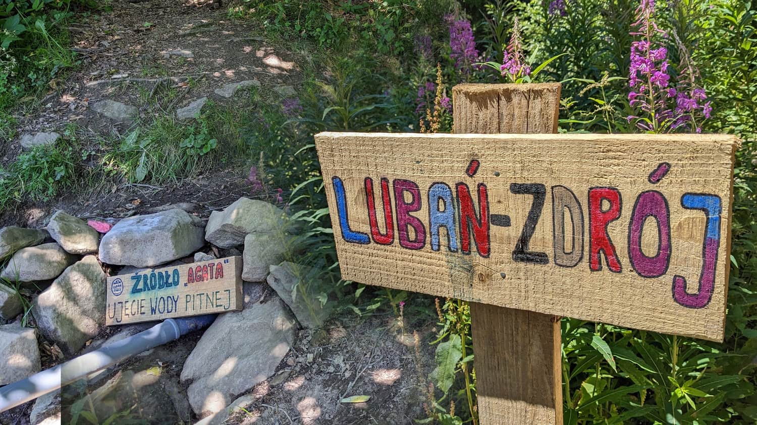
Spring on Lubań
On the blue trail, between the tent base and the ruins of the shelter, there is a spring with delicious, refreshing drinking water:
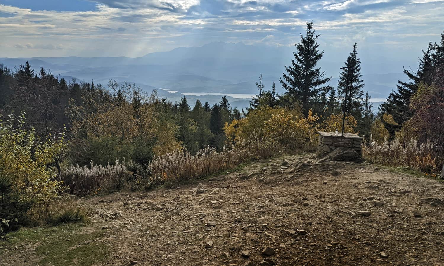
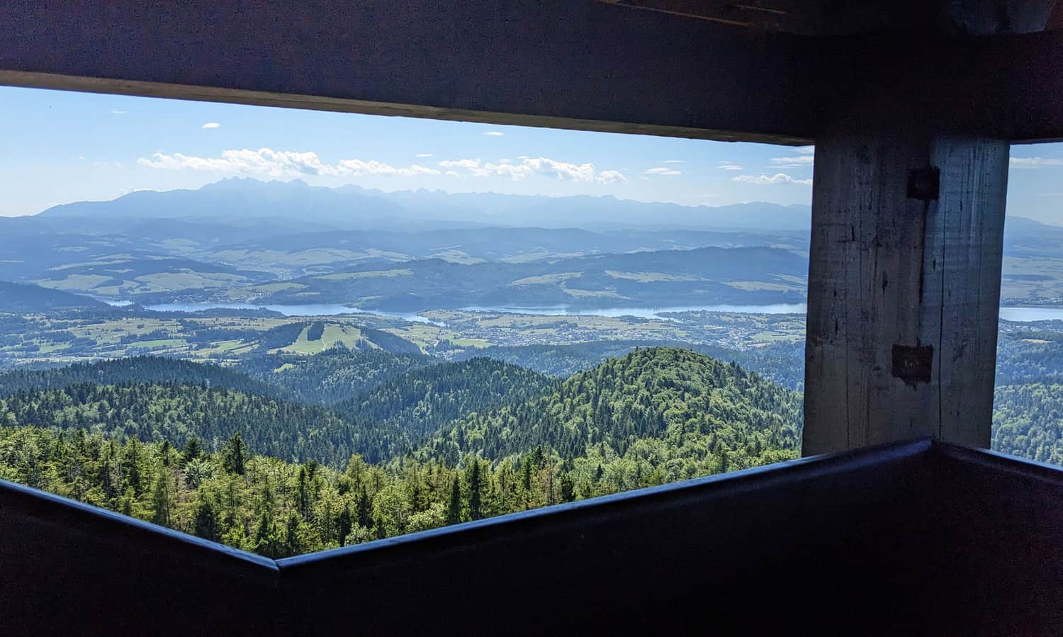
Lubań - views
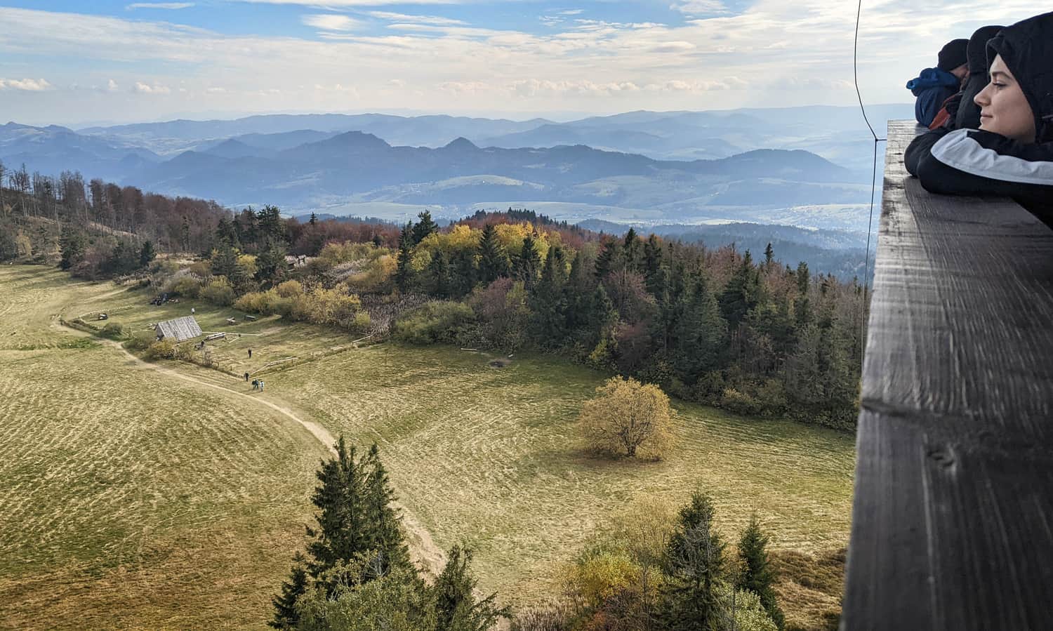
As you can see, the clearing is surrounded by forest, and the peak itself is also forested - except for a "window" to the south:
For more, we have to climb the tower - if not to the very top, then at least above the tree line.
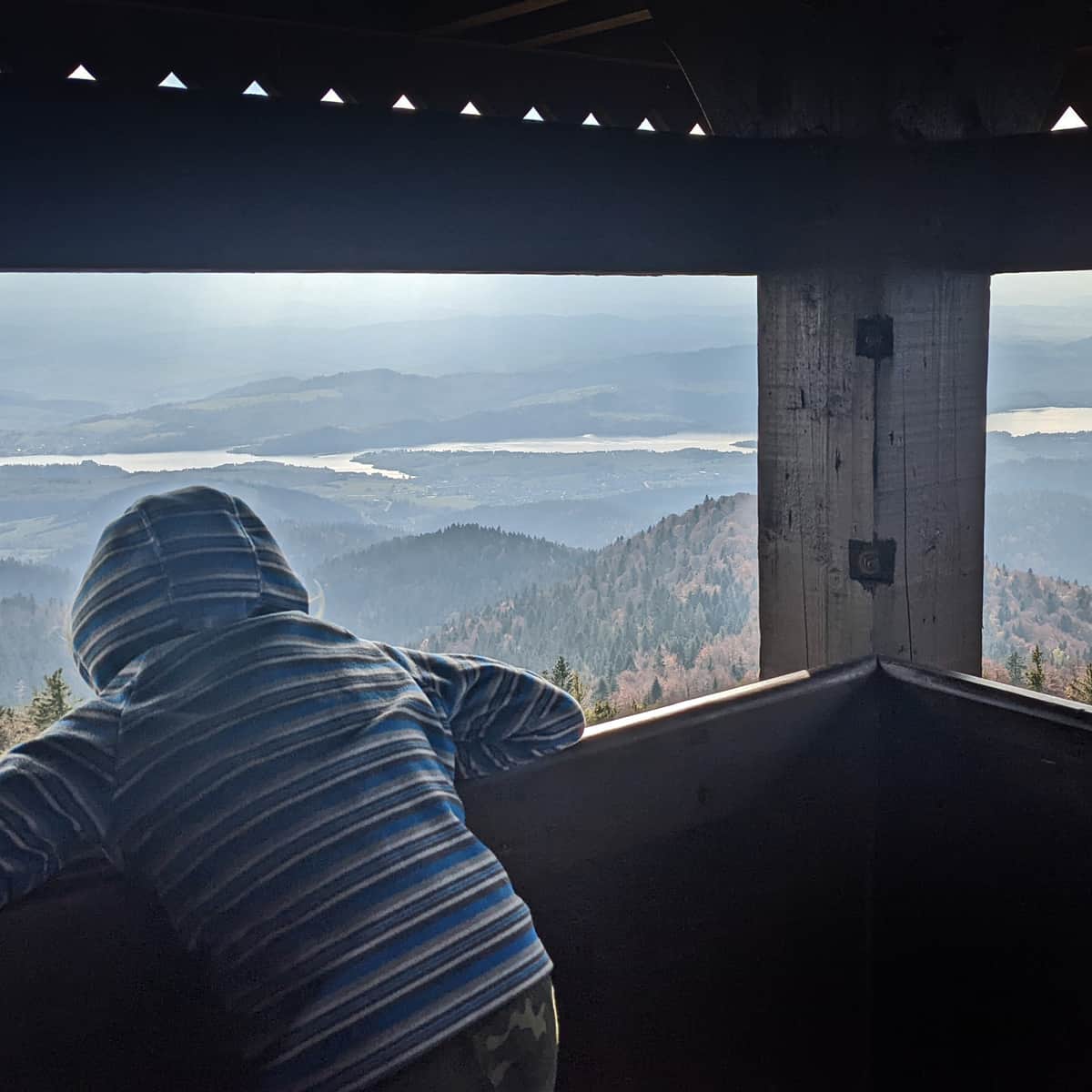
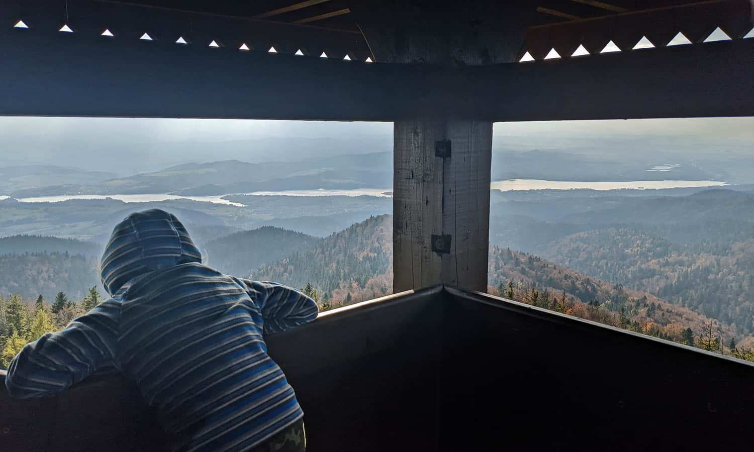
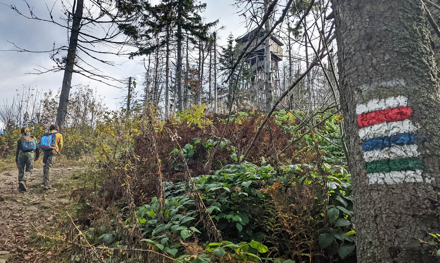
Observation tower on Lubań
There is no shelter on Lubań, but there is a tower - and what a view! The views from the terrace, rising 20 m above the surroundings, are breathtaking! We will climb the tower via comfortable, wide stairs.
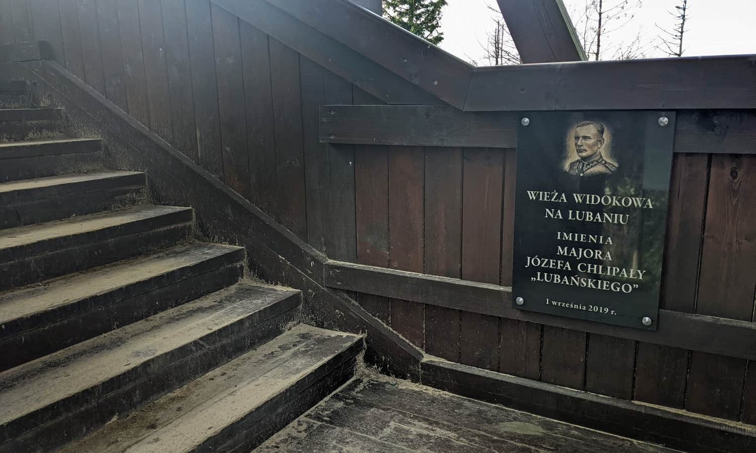
At the top, we have views in all 4 directions, what exactly we are looking at, we can learn from detailed information boards.
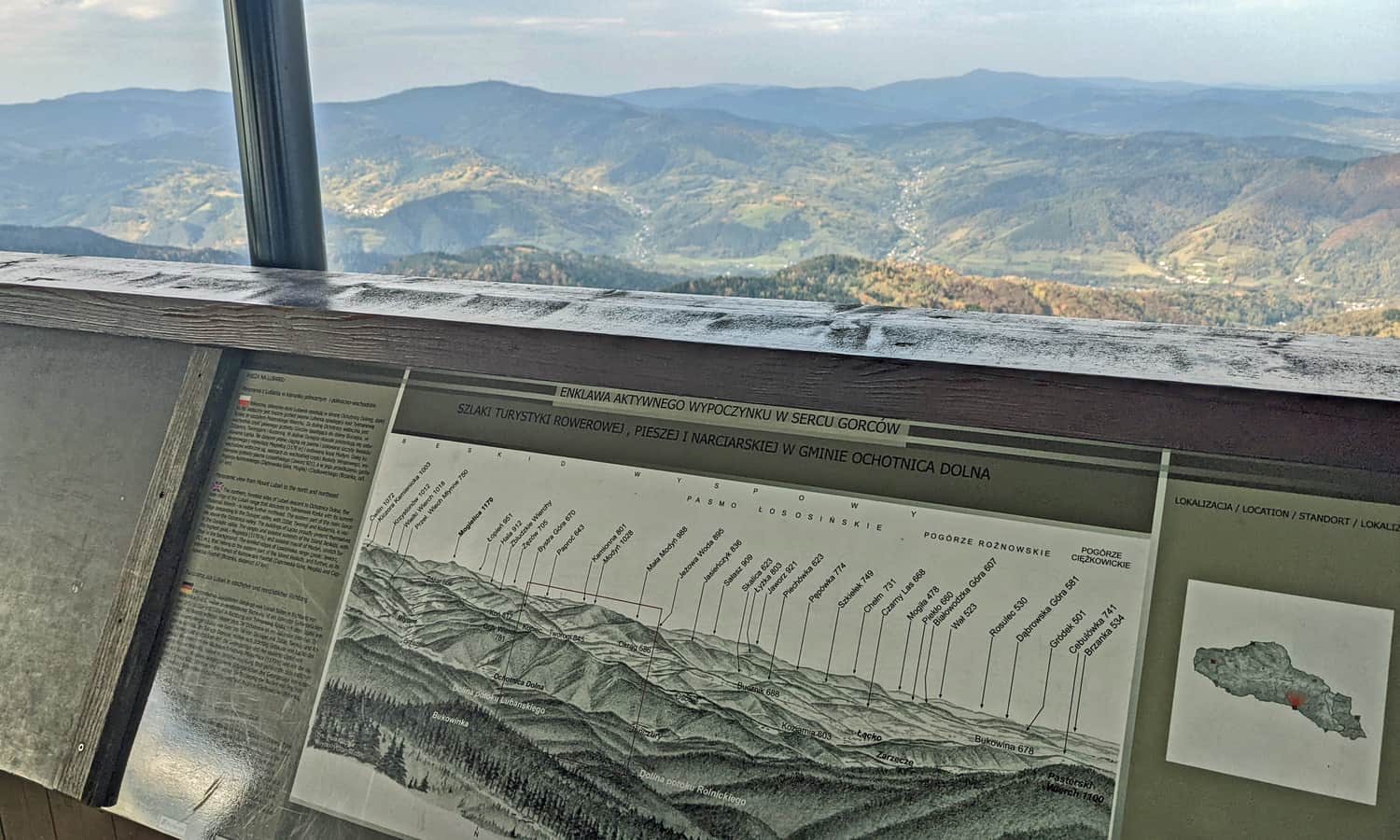
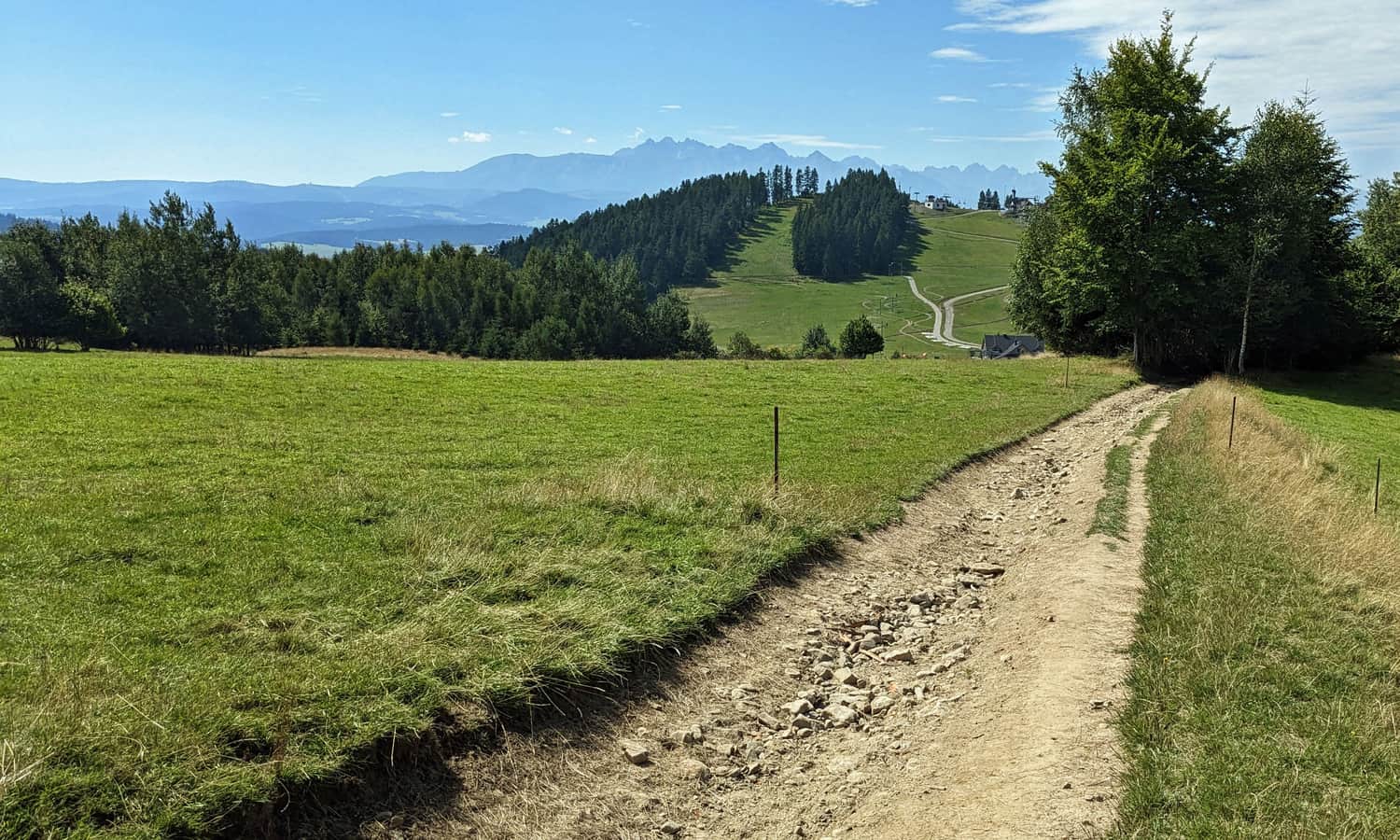
To the south, we will see the Tatra Mountains, and the Czorsztyńskie Lake stretching at their feet, to the east: Pieniny and the gentle hills of Beskid Sądecki, from the north - Beskid Wyspowy with the dominating Mogielica, to the west: Gorce, and far in the background we will see the characteristic silhouette of Babia Góra.
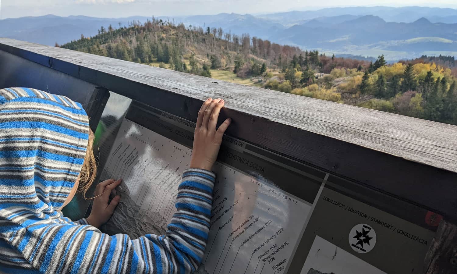
Ps.1. As you can see, the railing is high - little ones won't fall out. Even older children will have to be lifted up to see something...
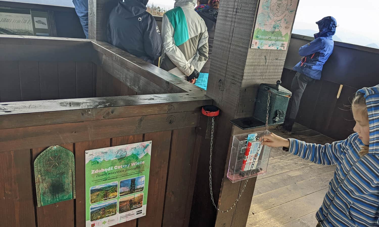
Ps.2. Don't forget to stamp a souvenir stamp! Will you be able to spot the other observation towers in the area: on Magurki, Gorc and Koziarz? Or maybe also those a bit further on Mogielica and Modyni?
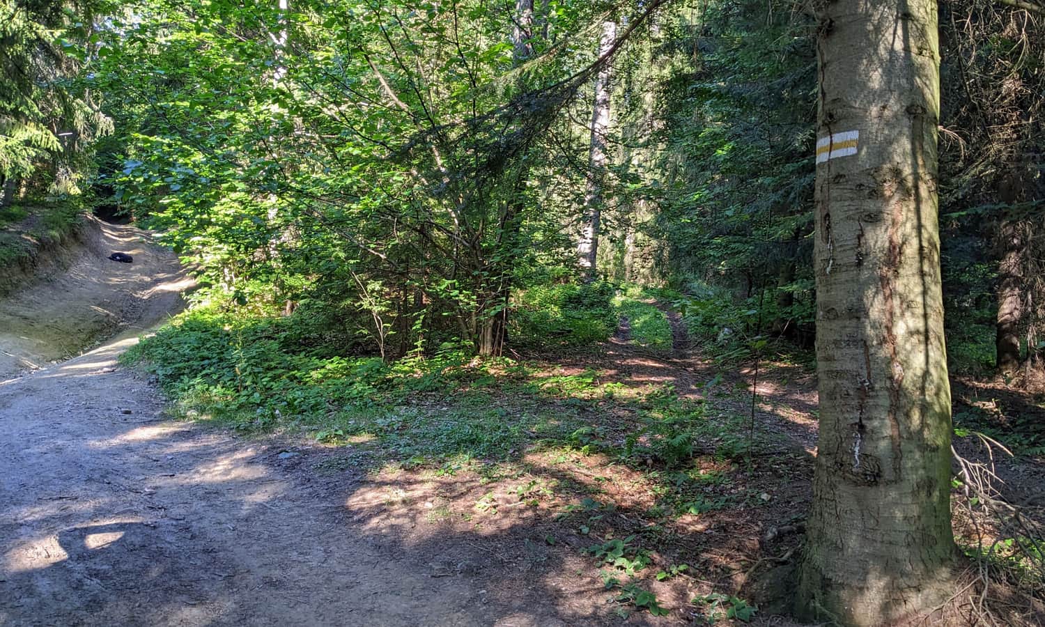
Trails to Lubań
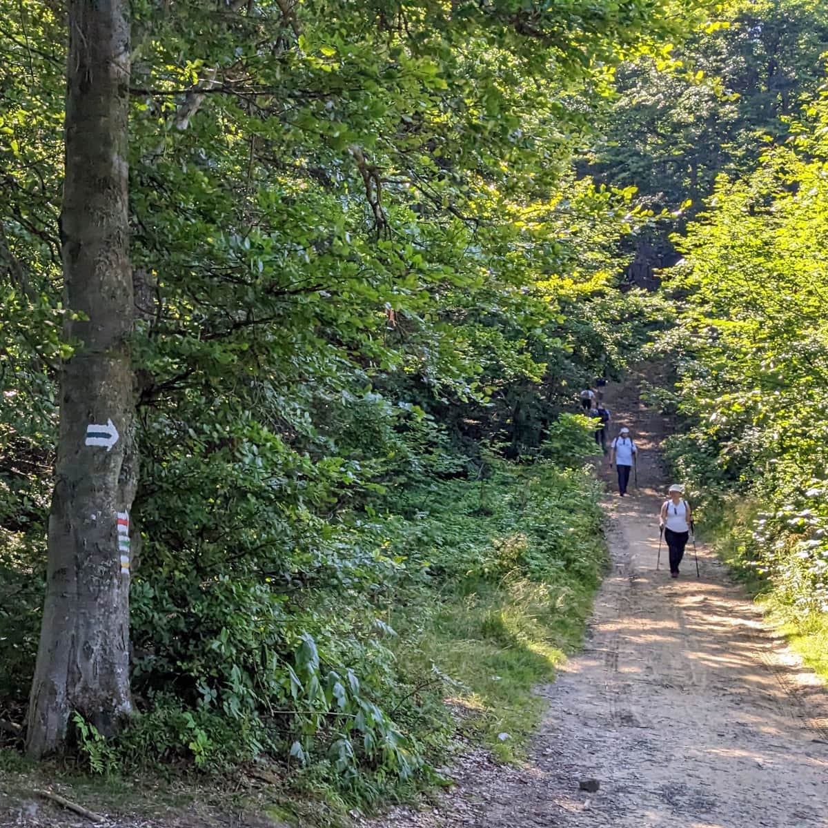
How to get to the top of Lubań? There are many trails leading here from all surrounding towns. The most popular are the trails leading from the south, from the Pieniny towns: Krościenko nad Dunajcem, Czorsztyn, Grywałd, Kluszkowce and Maniowy, but we can also reach the top from the north: from Ochotnica Dolna and from Tylmanowa (this trail has the largest elevation gain, over 900 m difference in altitude) or from the west: a long, ridge trail from the hamlet of Studzionki near Ochotnica Górna.
Easiest and shortest trail to Lubań
The easiest way to get to Lubań is via its southern slopes: the blue trail from Przełęcz Snozka at the foot of the Wdżar mountain. There is a large parking lot here and a unique monument by W. Hasior "Organs". On the way, we have the opportunity to see the ruins of the shelter and replenish water supplies at the spring with drinking water.
We will reach the top in about 2.5 hours. We have 5.5 km and almost 600 m of elevation gain to cover. Just before the clearing at the top, there is one quite steep ascent.
Medium
To Lubań from Snozka Pass - blue trail

Shaded and gentle trail to Lubań
If you don't like steep ascents, we recommend the yellow trail from Kluszkowce. It is longer than the blue one, but much gentler and more shaded. Both trails can be combined into a loop.
Medium
Kluszkowce: yellow trail to Lubań

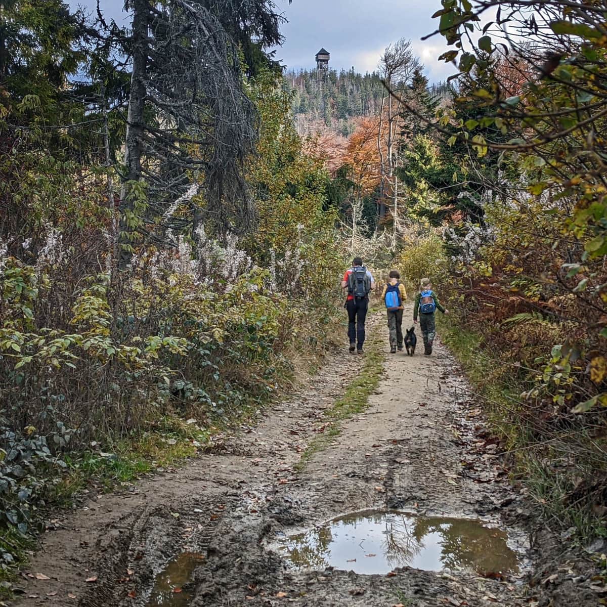
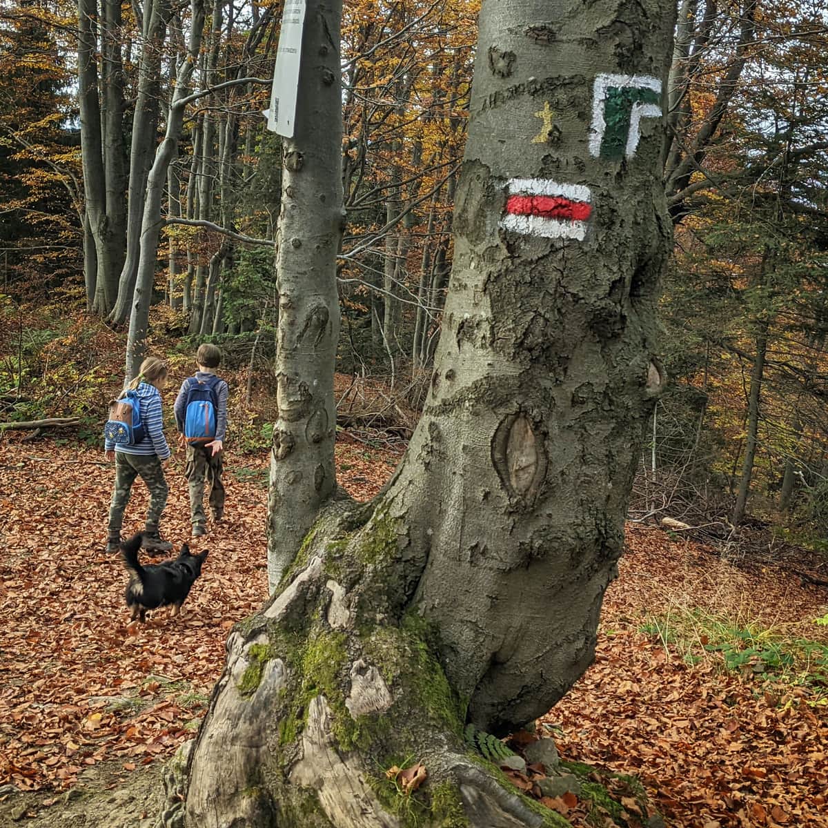
Loop to Lubań from Ochotnica Dolna
If you like to climb to the top and descend other trails, we recommend a hike to Lubań from the north: the blue and green trail from Ochotnica Dolna:
Medium
Blue trail to Lubań from Ochotnica Dolna

We went up the gentler blue trail, and descended the steeper green one:
Medium
From Ochotnica Dolna to Luban - green trail

Of course, you can also reverse this direction. Such a trip will take you a minimum of 5 hours, you will walk 15 km and overcome an elevation gain of about 800 m.
Trails to Lubań - map
Here is a map of the trails and places described in the article:

Publish Date:
Last Updated: