From Ochotnica Dolna to Luban - green trail
Nearby: Szczawnica| Distance | 7.0km |
|---|---|
| Time | 3h 42min |
| Ascents | 786m |
| Descents | 103m |
beach_access Route in the shade
directions_car Access by car
directions_bus Can be reached by bus
An alternative route from Ochotnica Dolna to Luban, which can be combined into a loop with the more popular blue trail. The journey begins easy on an asphalt and forest road, then steeply uphill through the forest, and then calmly along the ridge.
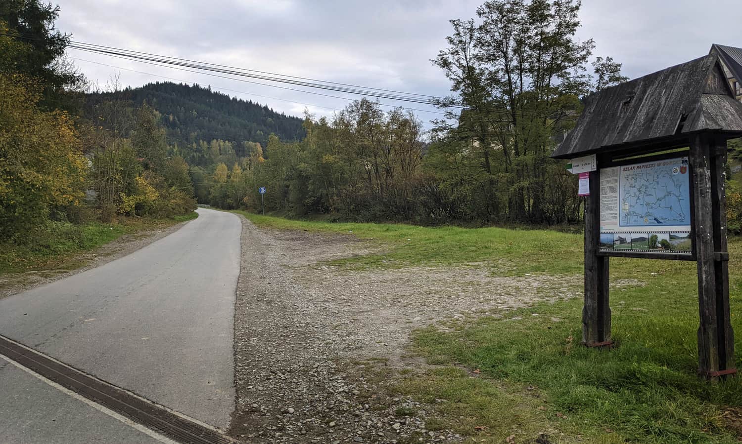
Start of the green trail to Luban in Ochotnica Dolna
You can reach Ochotnica by bus, van or car. A large parking lot and main bus stop are located in the town center, near the Municipal Office building. However, the green trail starts further west, in the Hologowka district - it's better to go there and save yourself a walk along the road. At the start of the trail, you will also find ample parking.
From the main road, the green trail leads us along the asphalt for quite a while, through the buildings of the Kudowe district - however, don't count on leaving your car here (the road is narrow, and everywhere is private property).
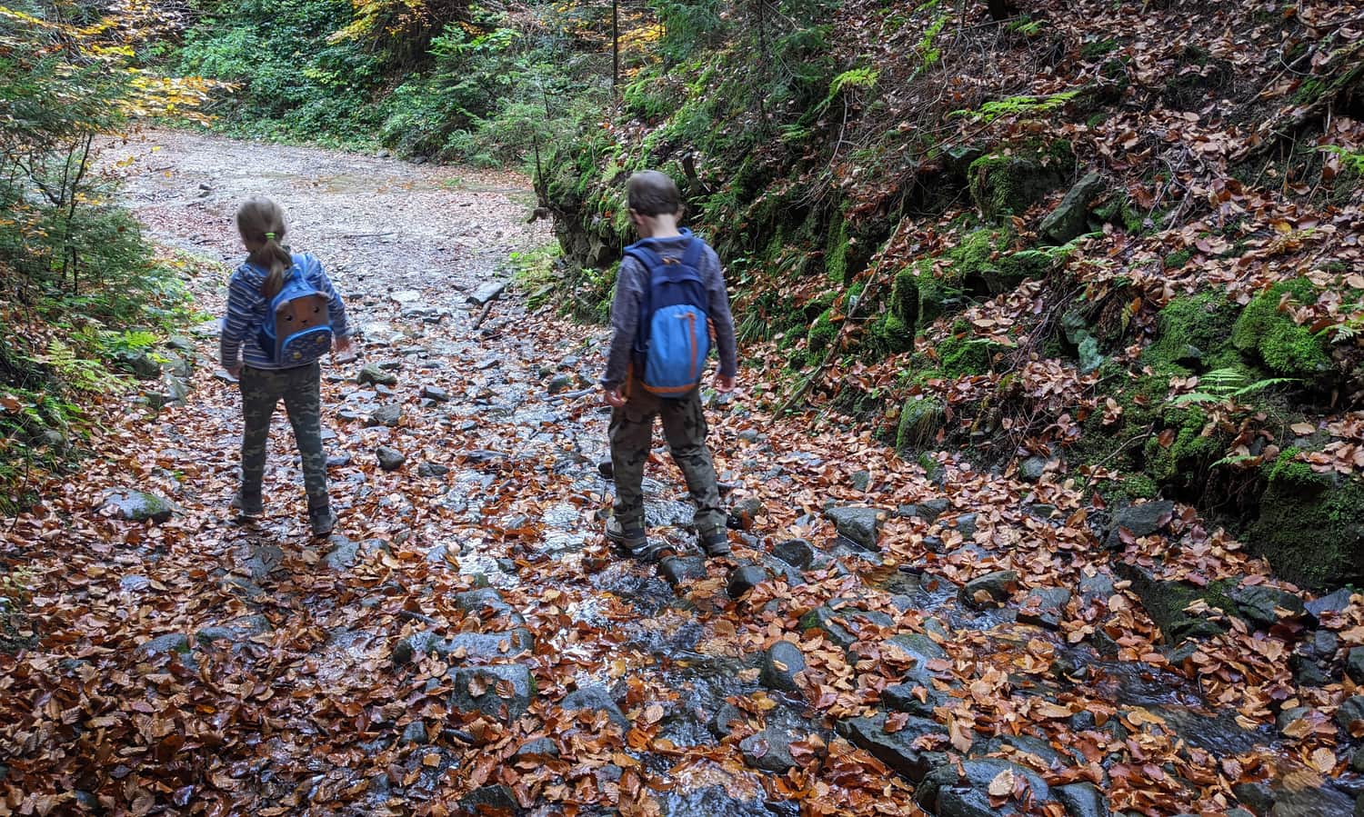
After about 30 minutes, the asphalt will turn into a wide forest road.
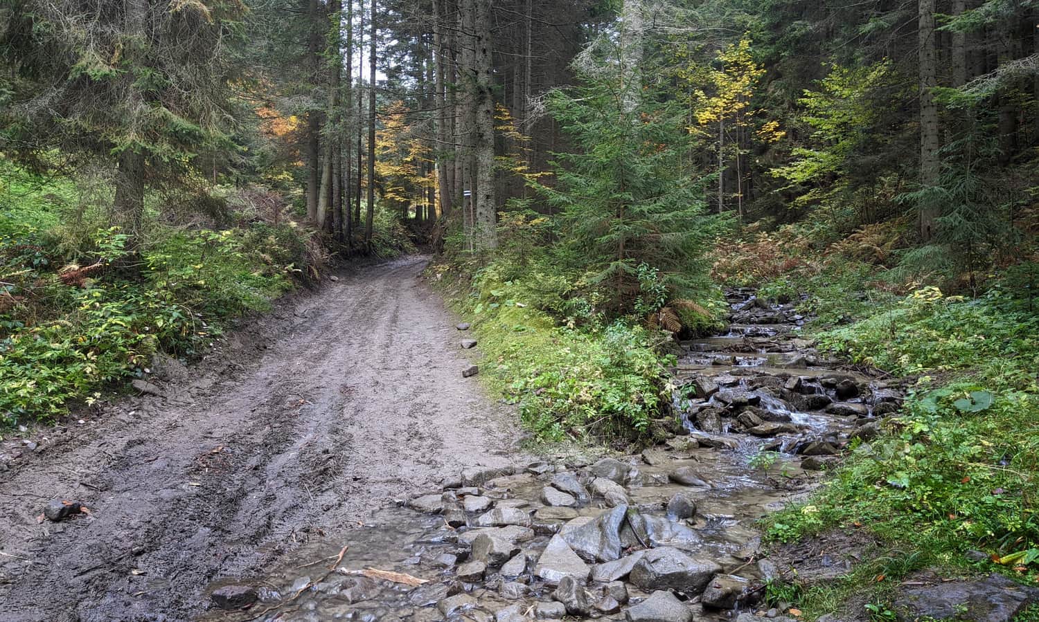
We will be walking along the Kudowski, and then the Rochowski stream. This section of the trail is very easy, good for a "warm-up", we ascend very gently, and the only obstacle might be a muddy road, or crossing streams several times (although this is rather an attraction!):
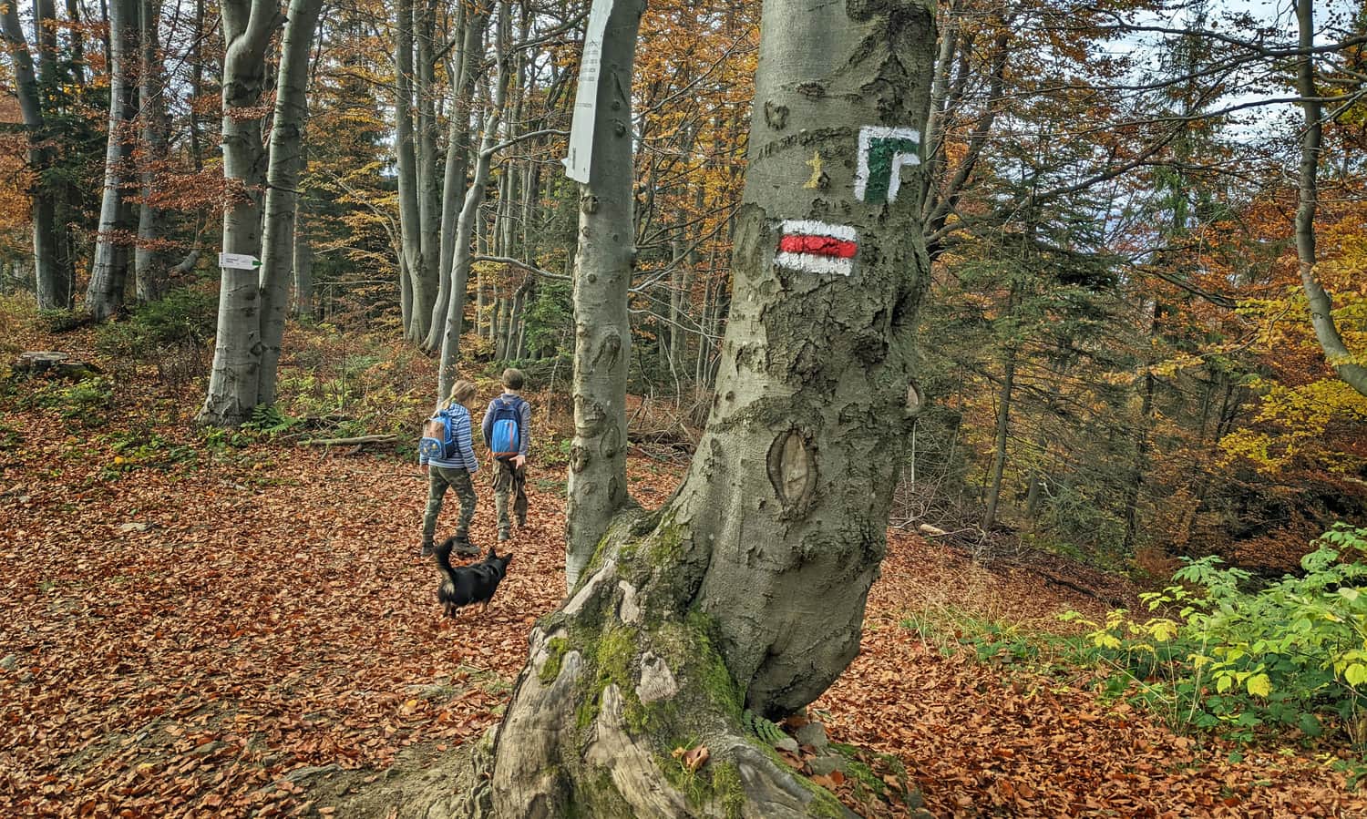
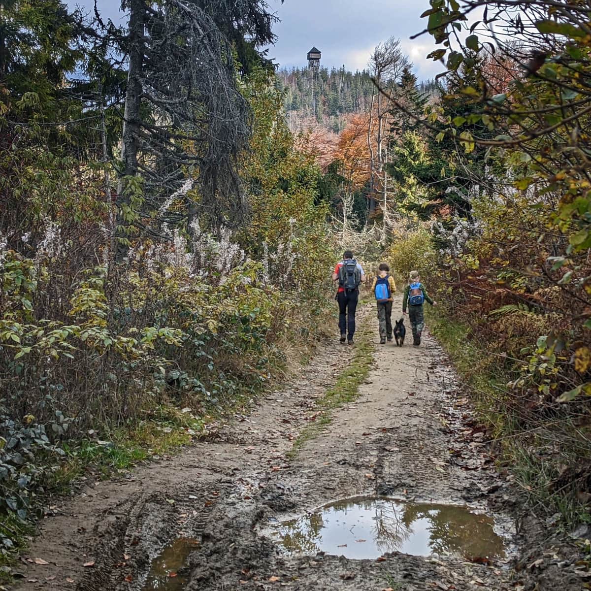
Green trail - climb to the ridge
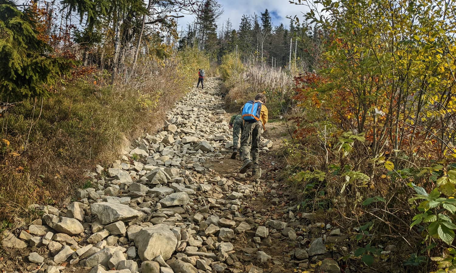
After a calm start, we have about half an hour of real climbing: in a 2 km section we have to overcome more than 350 m of altitude difference. We climb narrow forest ravines - in summer it will be pleasantly cool, but in the late afternoon quite dark.
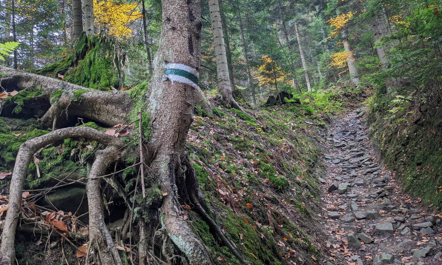
On the way, literally one mini-window on two hills with towers - perhaps Magurki and Gorc? Or rather Gorc and Mogielica?
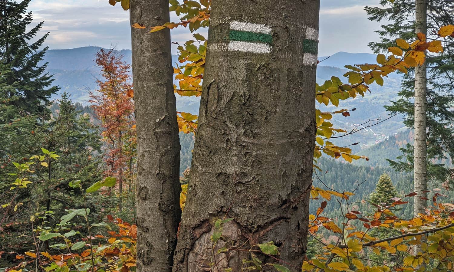
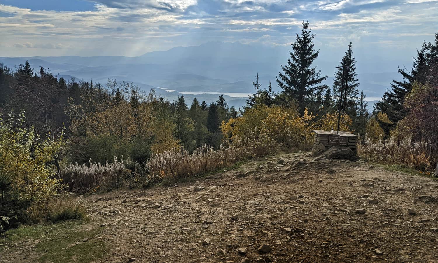
Along the ridge to Luban!
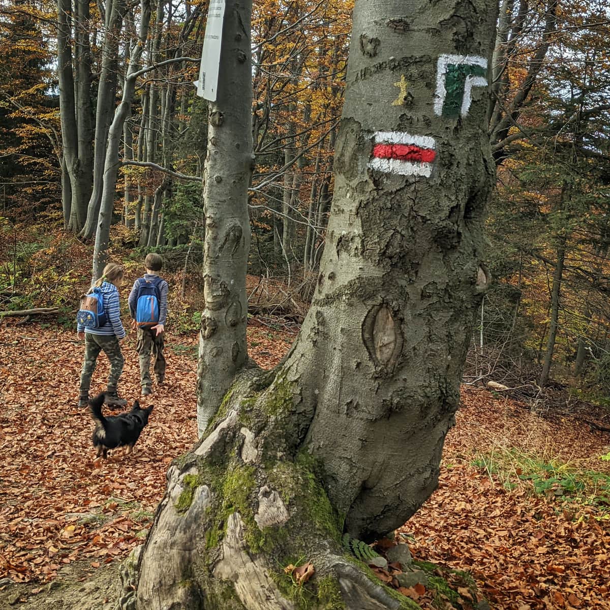
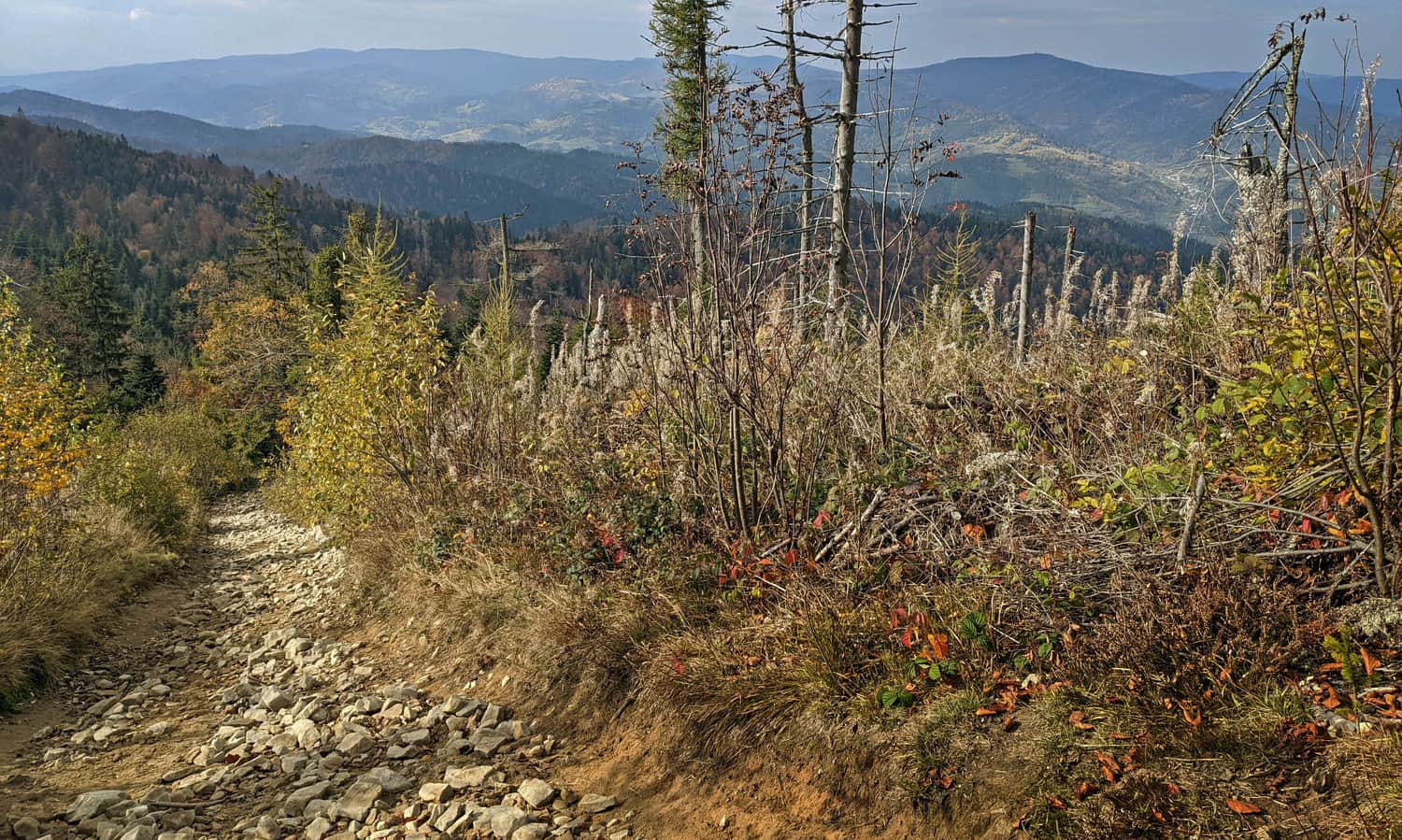
When our green trail joins the red "ridge" one, it means that we have 2 km (approx. half an hour) of peaceful forest walk ahead of us - unfortunately still without special views... But there will be more meadows and sun.
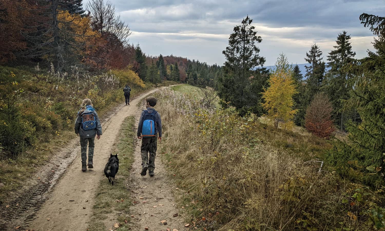
In turn, the yellow trail from Kluszkowce and the blue one from Ochotnica will join us, soon we will see the goal of our hike: the observation tower on the top of Luban.
Climb to Luban
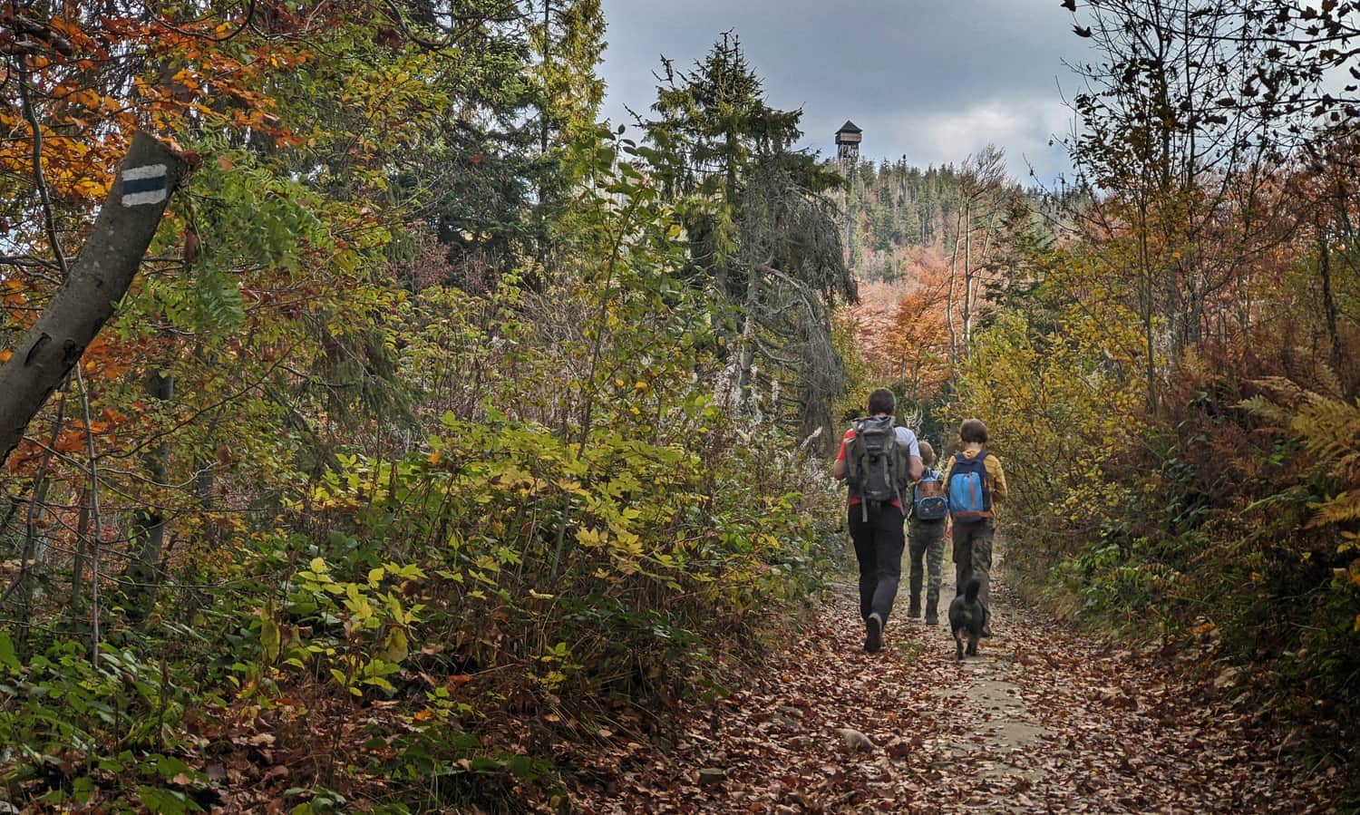
When the yellow trail turns right, we face a choice: a shorter, steep, rocky road to the top (i.e. straight ahead following the red, green and blue signs), or a gentler bypass through the forest (yellow trail).
We chose the harder version:
...but with views!
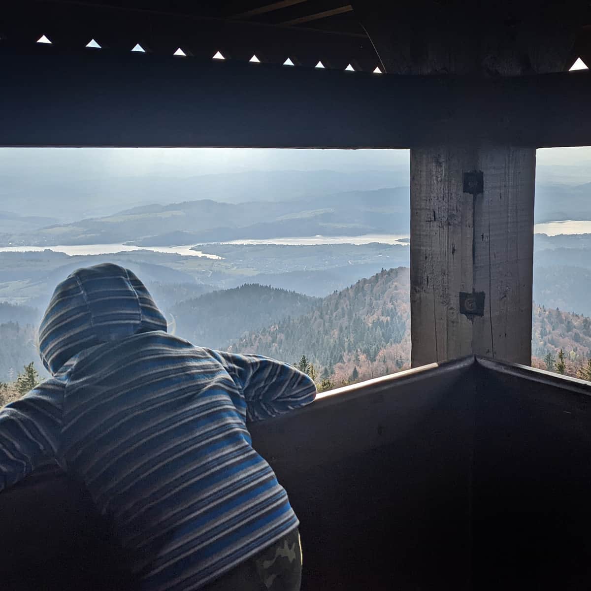
Top of Luban and the observation tower
At the top of Luban, be sure to climb the observation tower! The 360-degree panorama is amazing! What else is worth knowing about the top of Luban? You can read here:
Trails to Lubań - peak and observation tower
Lubań is an incredibly scenic peak in the Gorce Mountains, on the border of the Beskid Wyspowy and Pieniny ranges. From the observation tower, you can enjoy a picturesque panorama of the Tatra peaks, Czorsztyńskie Lake, the Dunajec River Gorge and the entire sea of Beskid hills. ...
Return to Ochotnica the same way, or for a change, take the blue trail. It is similar in length, leads entirely through the forest (a few small meadows along the way). You will descend to Ochotnica near the church. From there, it's 2 km along the main road to the start of the green trail (there is a safe sidewalk along the entire length).
Medium
Blue trail to Lubań from Ochotnica Dolna


More in the Region Gorce (Gorce)