Blue trail to Lubań from Ochotnica Dolna
Nearby: Szczawnica| Distance | 6.7km |
|---|---|
| Time | 3h 32min |
| Ascents | 749m |
| Descents | 45m |
beach_access Route in the shade
directions_car Access by car
directions_bus Can be reached by bus
The popular and shortest trail from Ochotnica Dolna to Lubań. At the top, a lookout tower and a beautiful panorama of the Tatra Mountains, Pieniny, Beskid Sądecki and Wyspowy, and Gorce await us.
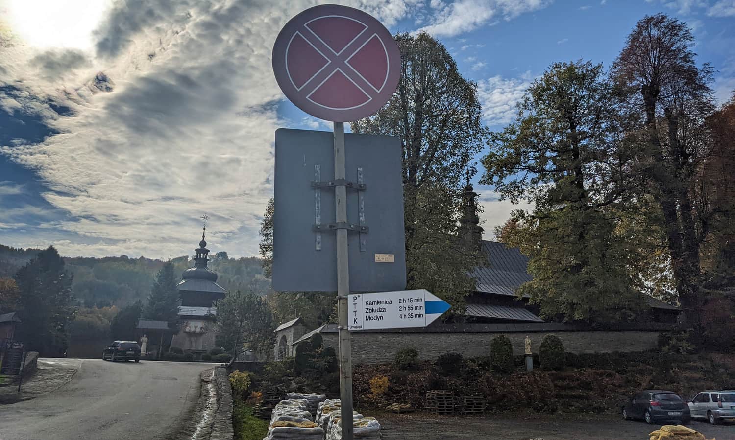
Start of the blue trail to Lubań in Ochotnica Dolna
The blue trail begins at the main bus stop, next to the Municipal Office. There is also a large parking lot here. However, we can stop earlier - near the school and church, at the monument commemorating the pacification of the village. There is also a parking lot here (even larger).
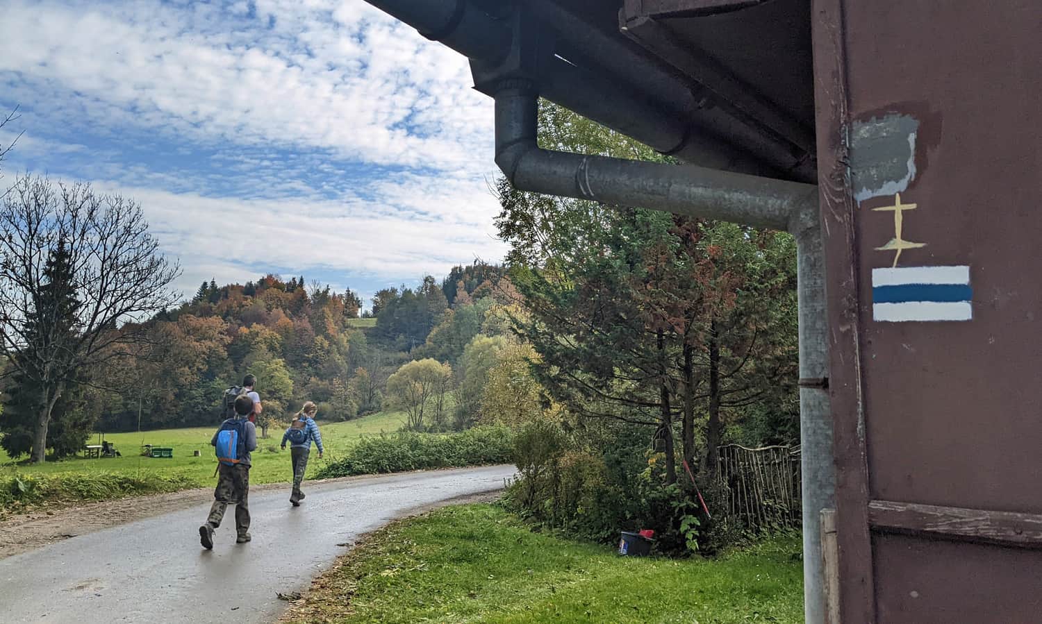
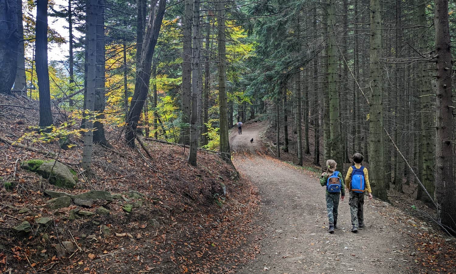
After about 10 minutes, we leave the asphalt road and turn onto a narrow path on the left into the forest - watch out! It's easy to miss this moment, so keep an eye out!
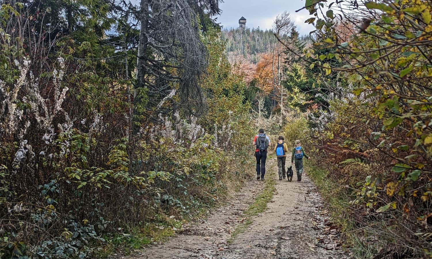
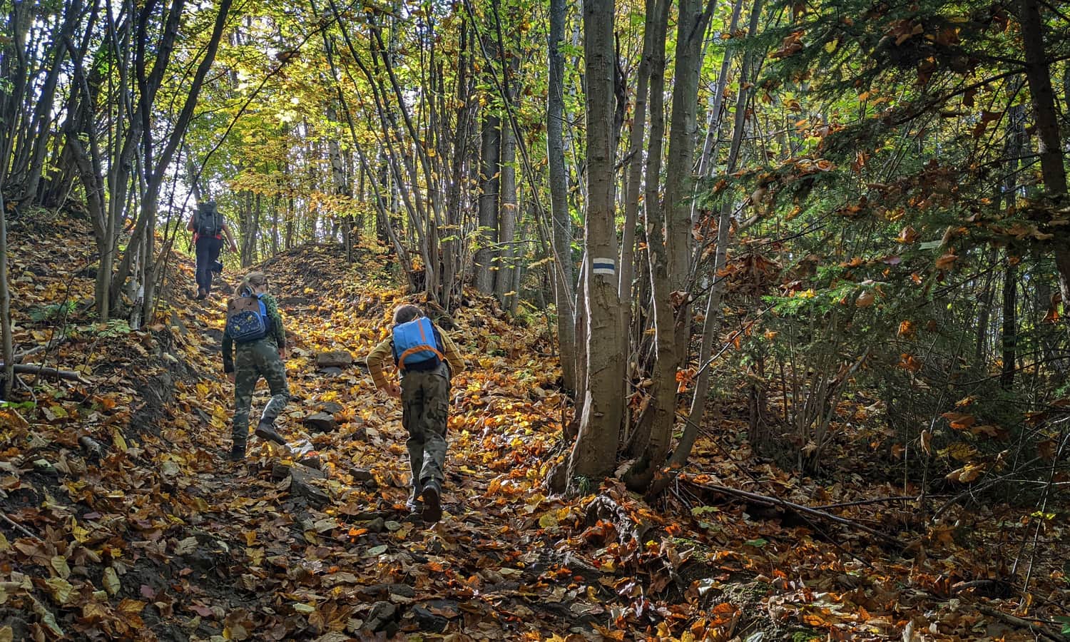
The trail leads us through the forest all the time - alternating between narrow paths and wide forest tracks. We are constantly climbing, but the road is varied: sometimes it's a bit harder, sometimes quite flat and walkable.
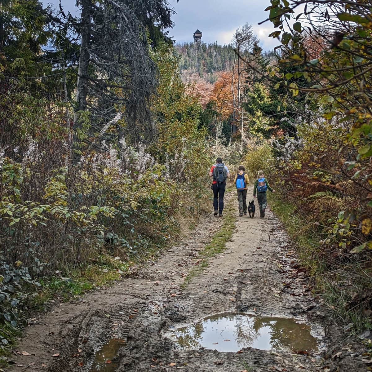
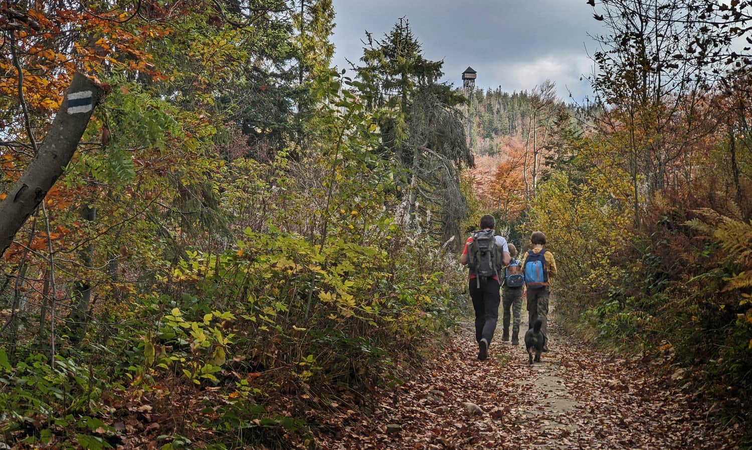
After about 2-2.5 hours from the start of the trail, we will reach the ridge and join the other trails: red, green, and yellow. Yes: you can already see the goal of our hike: the lookout tower at the top of Lubań!
Climbing to the top of Lubań
Soon we face the final climb and decision: do we go the longer, easier way, i.e., the yellow trail, which turns right, or do we go straight: steeply uphill over loose stones:
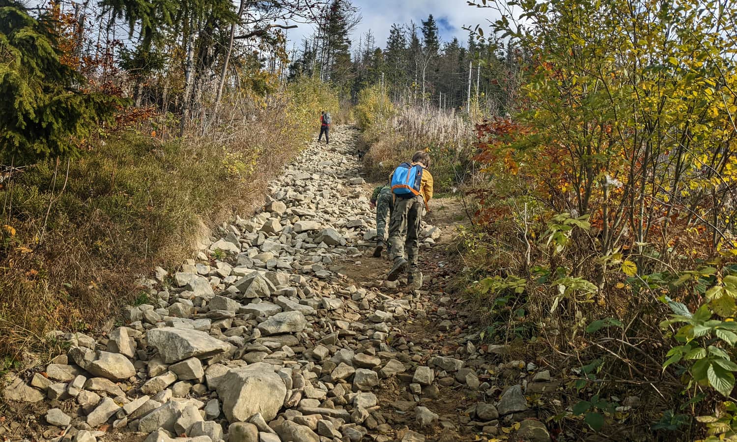
...but with views:
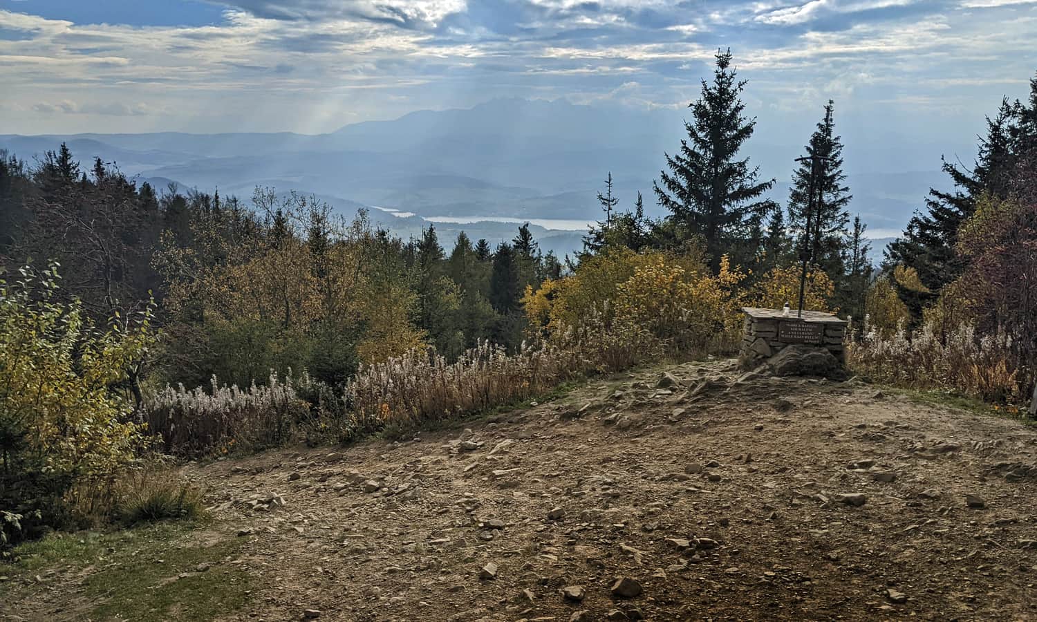
Lubań: peak and lookout tower
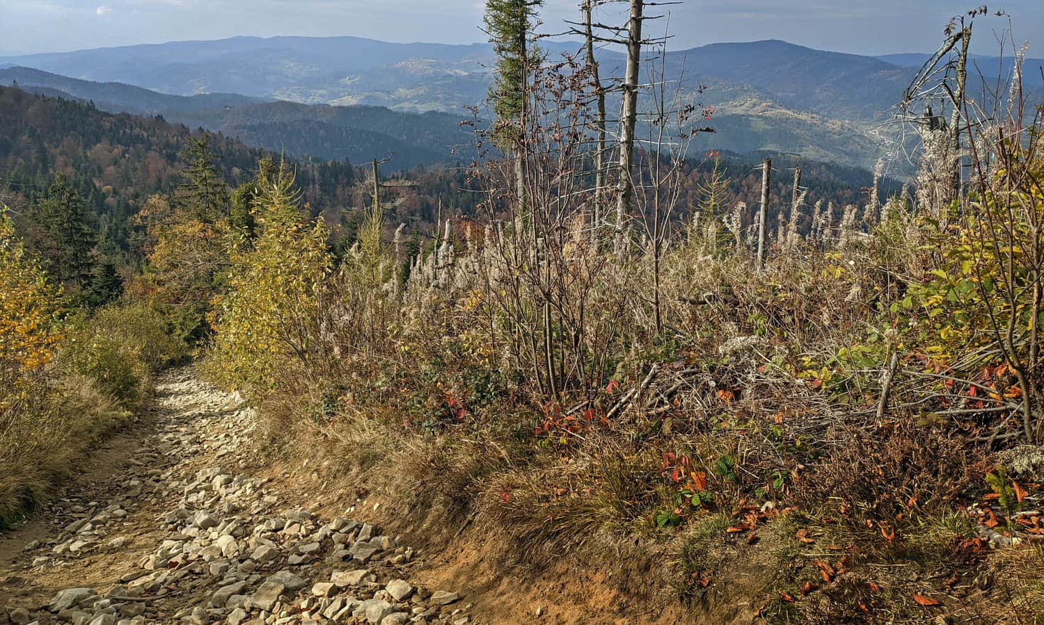
At the top of Lubań (1211 m above sea level), a view to the south awaits us: the Tatra Mountains and Lake Czorsztyńskie:
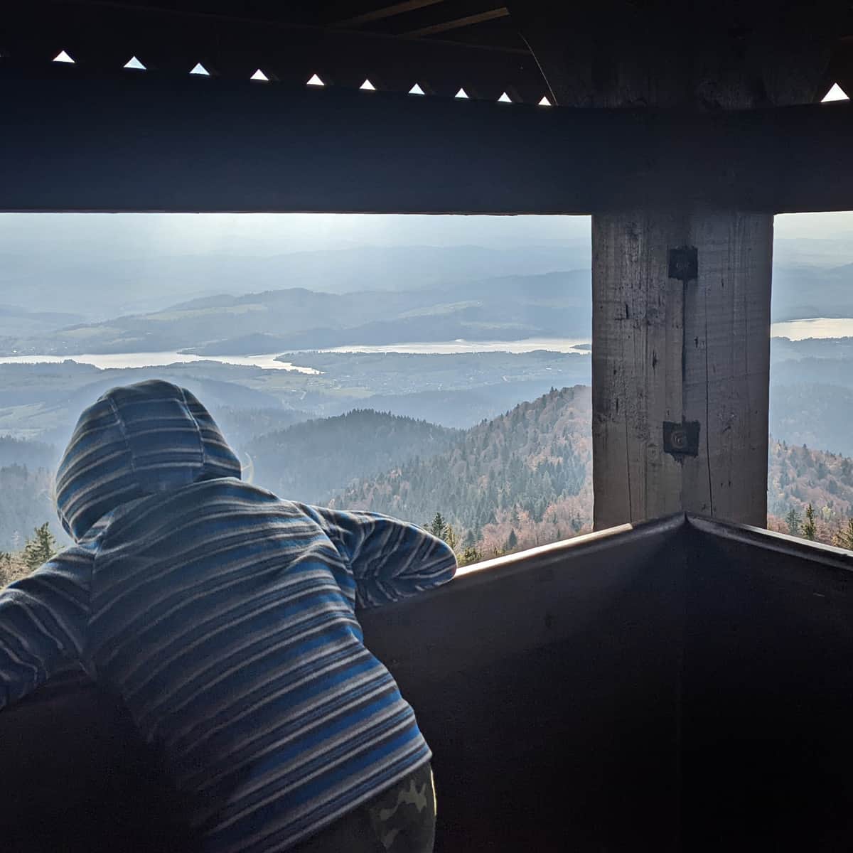
For the most beautiful panorama on all 4 sides of the world, you have to climb the lookout tower! What else is worth knowing about the top of Lubań? Read here:
Trails to Lubań - peak and observation tower
Lubań is an incredibly scenic peak in the Gorce Mountains, on the border of the Beskid Wyspowy and Pieniny ranges. From the observation tower, you can enjoy a picturesque panorama of the Tatra peaks, Czorsztyńskie Lake, the Dunajec River Gorge and the entire sea of Beskid hills. ...
Return to Ochotnica the same way, or alternatively via the green trail. Then we will walk along the ridge for longer, then steeply through the forest for a while, jump over streams and reach Ochotnica via an asphalt road. From the descent of the green trail to the start of the blue one, we walk along the sidewalk along the main road for about half an hour (2 km).
Medium
Blue trail to Lubań from Ochotnica Dolna


Publish Date:
Last Updated:
More in the Region Gorce (Gorce)