Błędne Skały (Errant Rocks) - trails and attractions
check_circle Difficulties for parents with a baby in a carrier
check_circle Parking
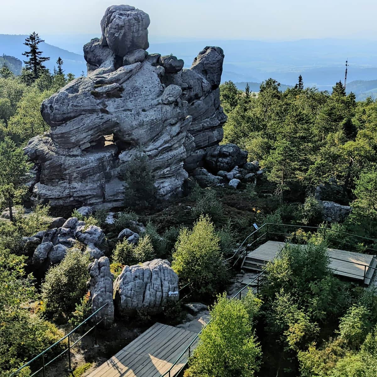
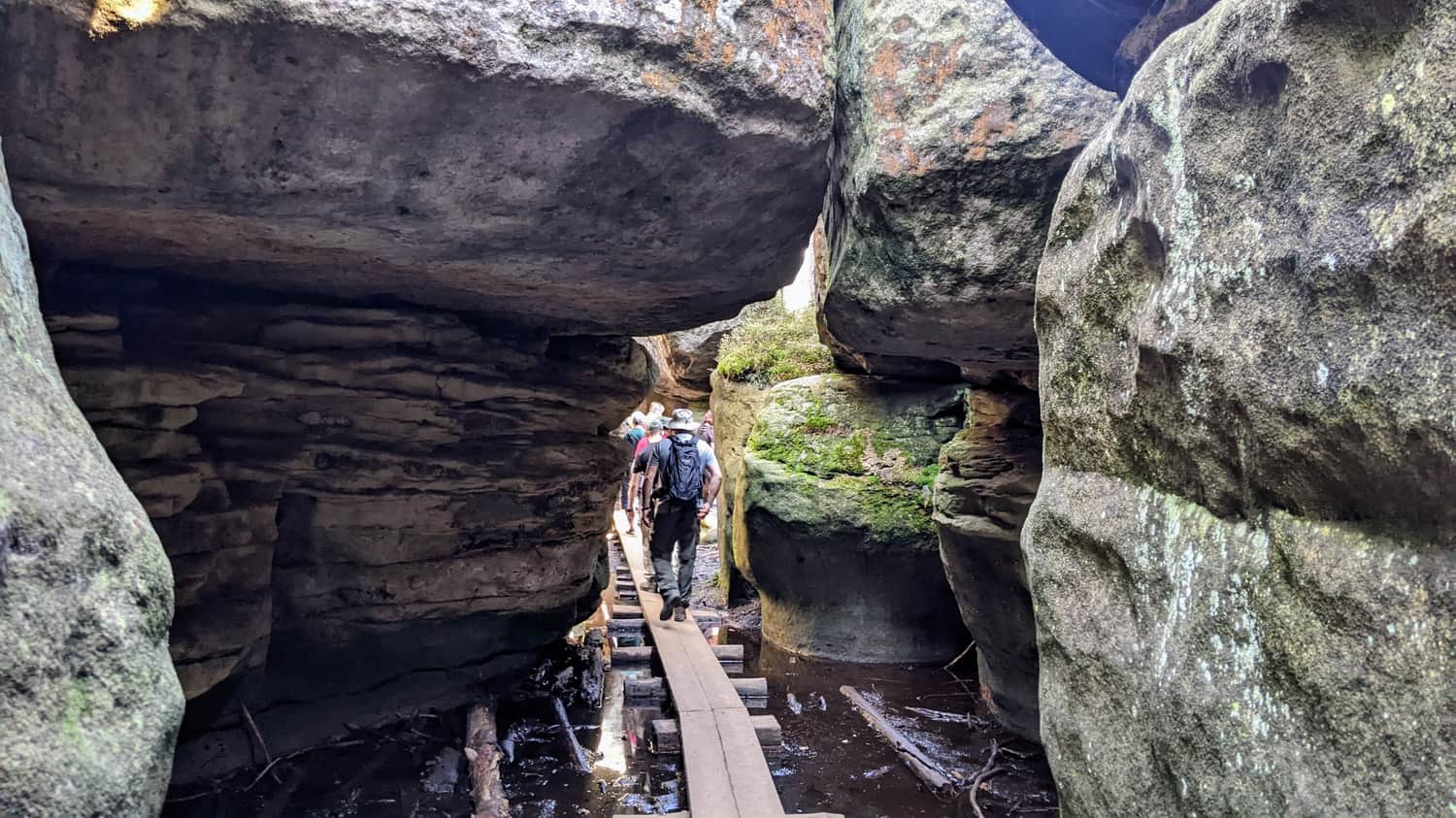
Błędne Skały, also known as the Errant Rocks, located near the town of Kudowa Zdrój, on the border with the Czech Republic, is undoubtedly one of the biggest attractions of the Polish Table Mountains! We walk through narrow passages and charming corners between rocky blocks with imaginative shapes. The area of the former Błędne Skały Reserve covers an area of approximately 22 hectares and is located on the slopes of Skalniak at an altitude of 852 meters. Scenes for the movies "The Chronicles of Narnia: Prince Caspian" and "The Merry Devil's Friend" were filmed among the rock formations here.
- The trail through Błędne Skały is one-way and takes about 40 minutes to complete.
- Entrance to the Błędne Skały tourist route is subject to a fee and limited, so it is advisable to buy a ticket in advance during the season.
- Due to significant shading between the rocks, the temperature here can be lower even in summer - it is worth having an extra sweater for yourself and the little ones.
- For carrying children, a carrier that places the child in front, not on the back, will be much more suitable.
- The trail is also accessible after the ticket offices are closed and outside the season, but access to the upper parking lot is closed at that time.
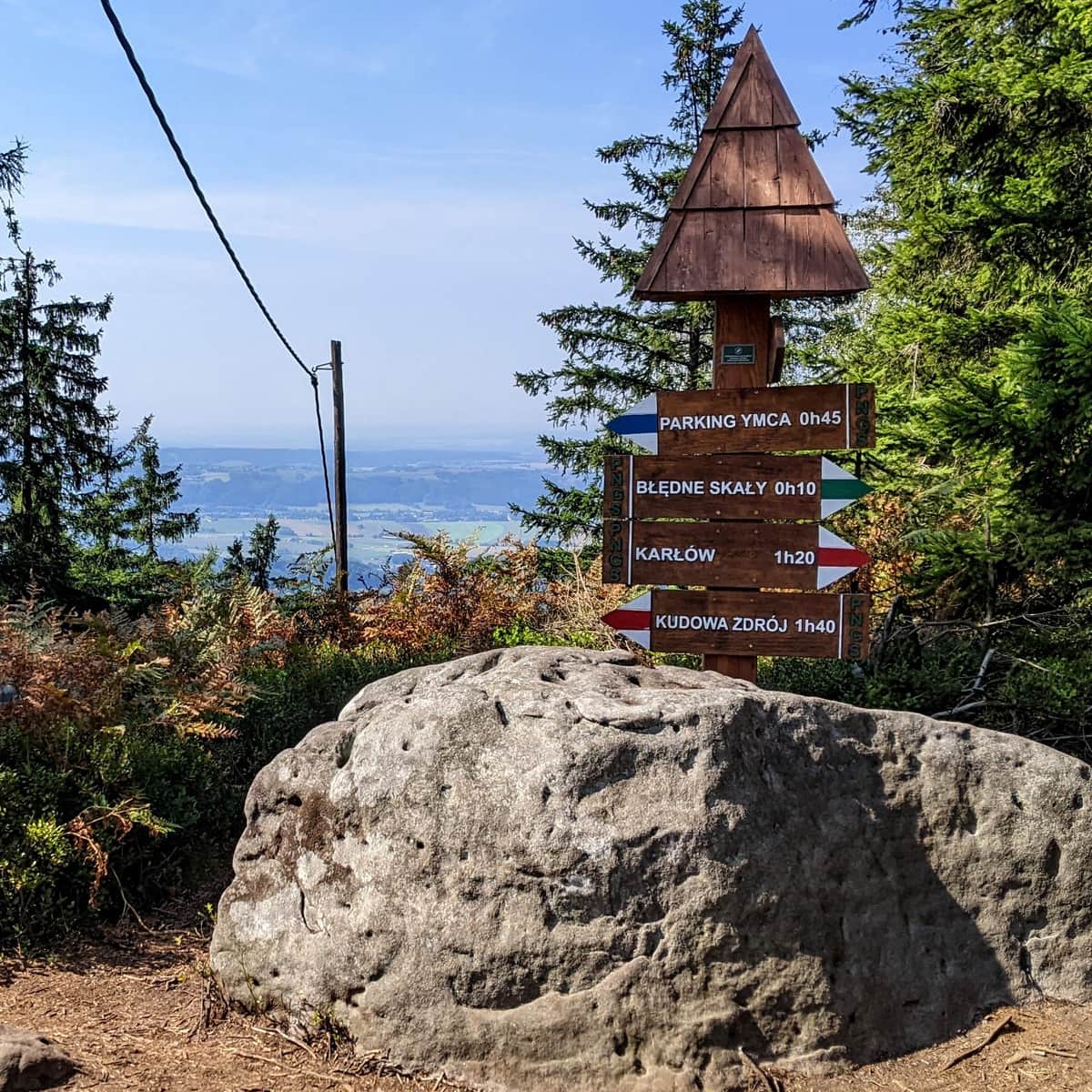
Błędne Skały - where to park?
There are two parking lots near Błędne Skały: the nearest one is the upper paid parking lot (due to shuttle traffic, entry and exit are at specified times), and the lower free parking lot. From the lower parking lot, we have about a one and a half hour walk to reach Błędne Skały. We can also park in the town of Karłów - there are many parking lots - and walk for an hour and about forty minutes from Karłów to Błędne Skały.
Descriptions of trails leading to Błędne Skały
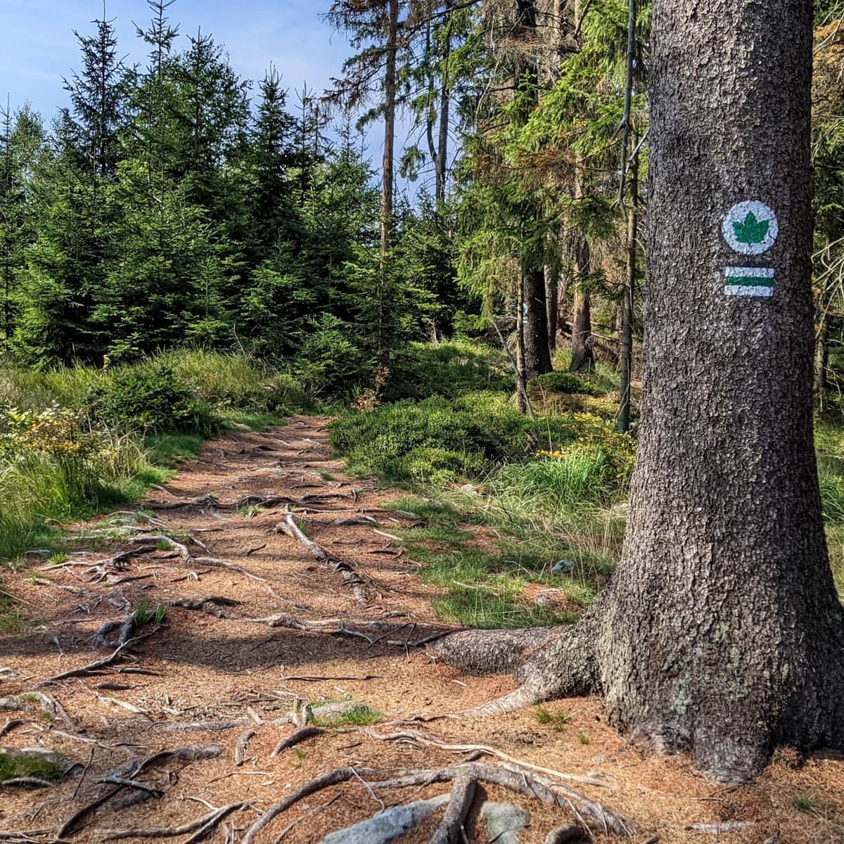
From nearby towns - Kudowa Zdrój, Karłów, or the Imka Glade, you can hike to Błędne Skały using mountain trails:
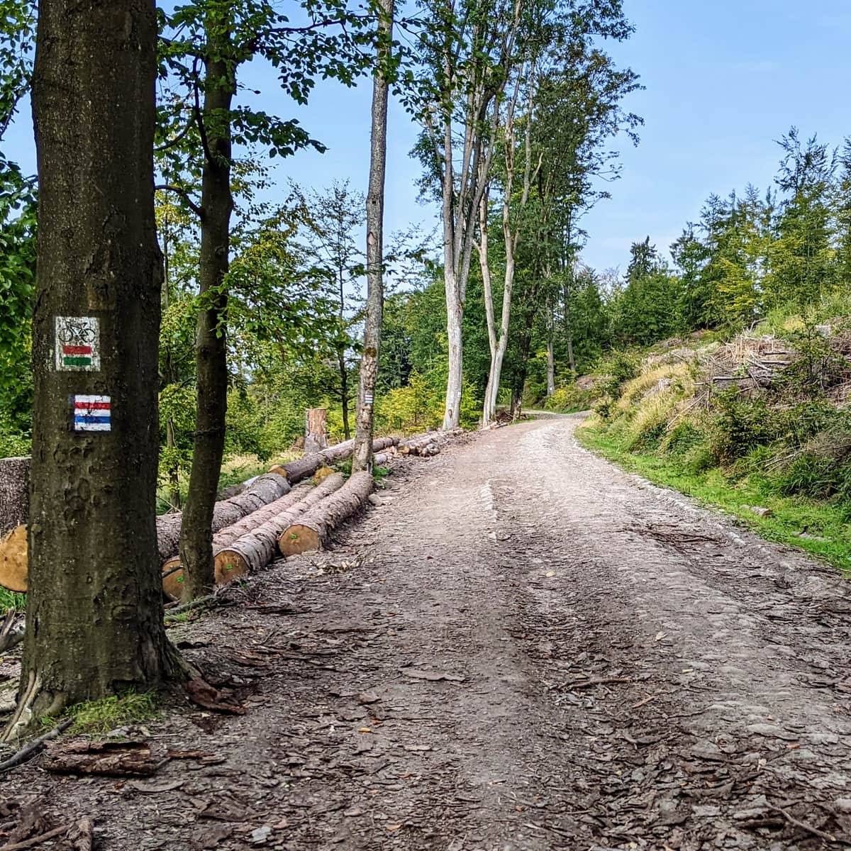
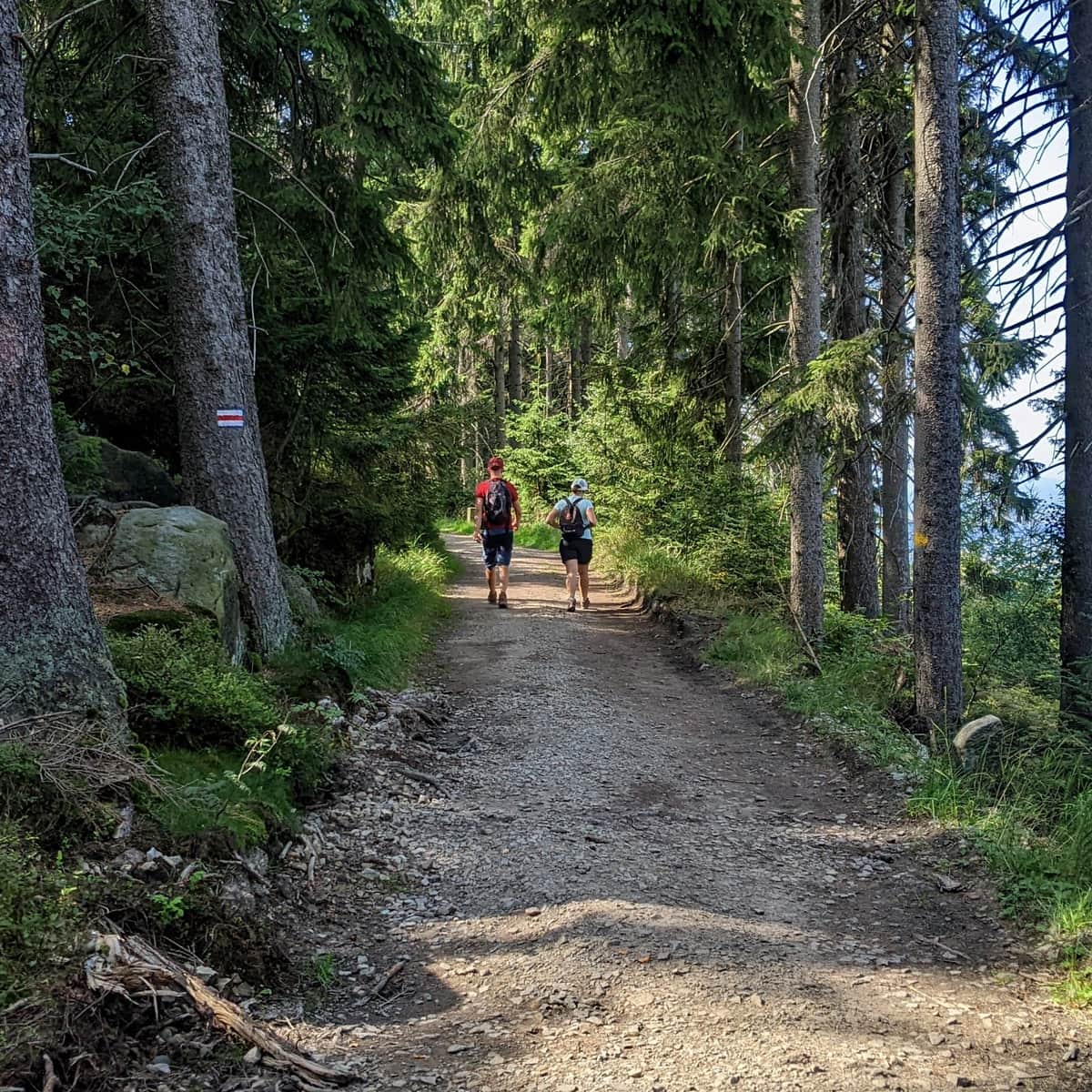
1. Blue Trail from the free YMCA parking lot and the Imka Glade to Błędne Skały
The "Imka" parking lot is a glade located near the Stu Zakrętów Road (DW No. 387) near the entrance to Błędne Skały. The blue trail starts from the parking lot and leads us to Błędne Skały. The trail is typical of mountainous terrain and can be steep, with large rocks to climb!
Medium
From Imka Glade (Free YMCA Parking) to Błędne Skały - blue trail

2. From Karłów to Błędne Skały
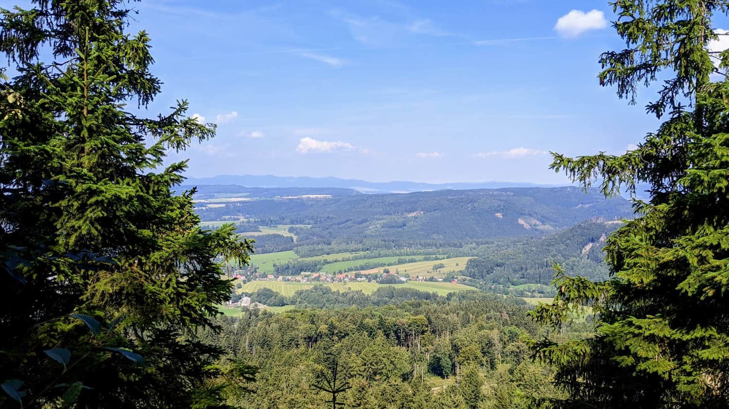
We can also hike from Karłów to Błędne Skały - there are many parking lots in Karłów. The trail from Karłów to Błędne Skały offers beautiful views, passing through a meadow overlooking Szczeliniec:
Medium
From Karlów to Błędne Skały (Errant Rocks) - an excellent trail connecting the two biggest attractions of Góry Stołowe

3. From Kudowa Zdrój
It is also possible to hike from Kudowa Zdrój to Błędne Skały using a mountain trail. Unfortunately, the city itself has not taken care of pedestrian safety - the exit from Kudowa requires walking about 700 meters along a road without a sidewalk or shoulder, where traffic can be quite heavy...
Difficult
Trail from Kudowa-Zdrój to Błędne Skały (Errant Rocks)

Upper Parking - the closest parking to Błędne Skały
If you want to get as close as possible to Błędne Skały, you can park right at the entrance - at the upper paid parking lot. Entry to the parking lot is allowed every 15 minutes, and then exits from the parking lot take place for the next 15 minutes - the road leading to the parking lot is one-way. Please note that during the summer season, due to a large number of visitors and limited capacity, this road can get congested...
Błędne Skały - small and large loop
There are two loops here - a shorter one leading through the rock labyrinth and a longer one around Błędne Skały. In addition, there are uphill sections to reach the viewpoints.
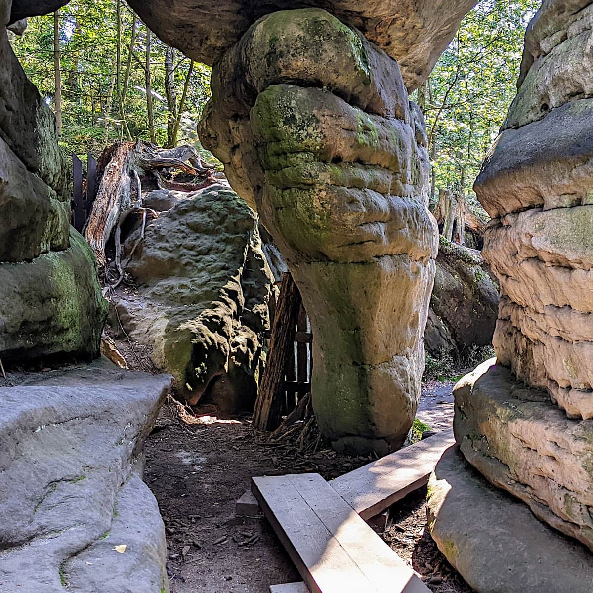
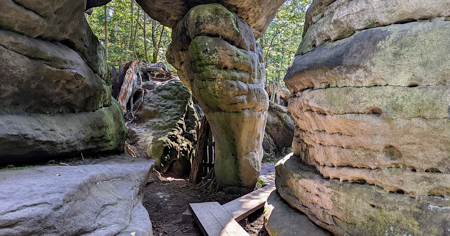
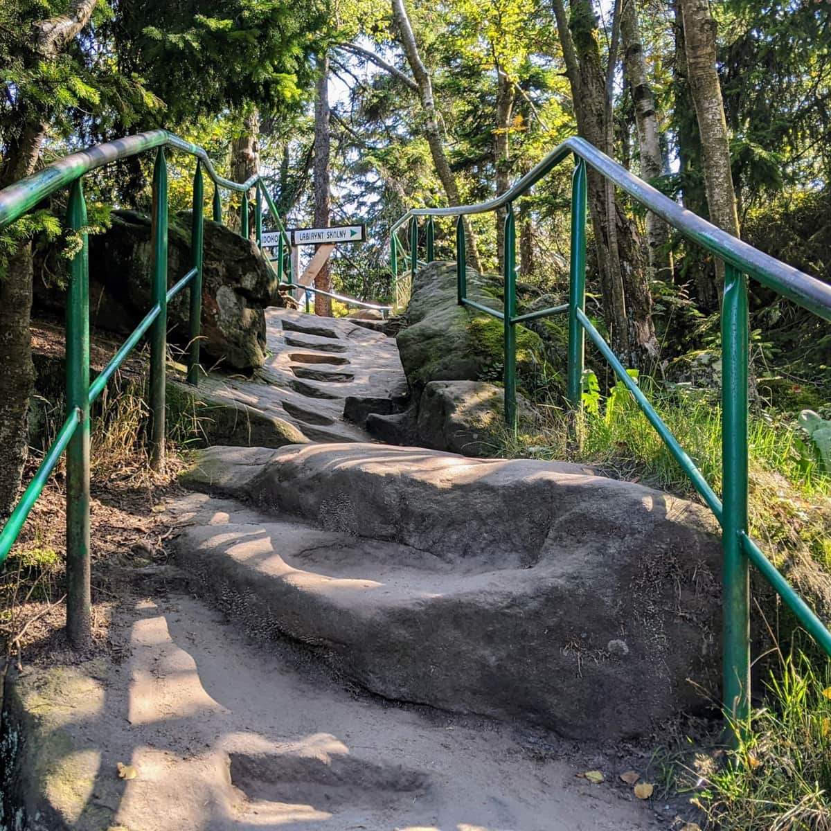
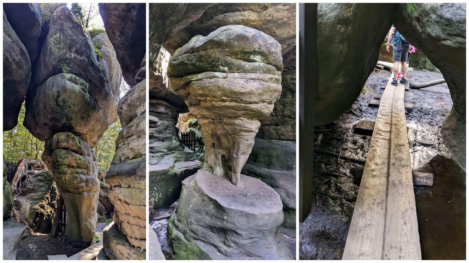
Small loop: rock labyrinth
The small loop with viewpoints takes us among the rocks - we walk on wooden walkways, as water tends to accumulate in the crevices, making it a bit muddy. In the summer, we feel a blissful coolness here, almost like in a cave. The passages between the rocks can be really narrow! The rock formations themselves have names, such as "Kurza Stopka" (Chicken's Foot).
Medium
Magical Labyrinth "Errant Rocks" - Loop starting from the ticket office

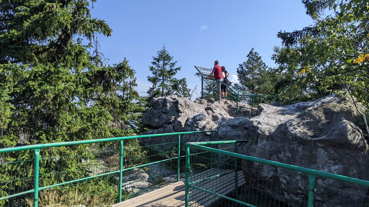
Large loop: around Błędne Skały
You can also walk around Błędne Skały, which is a scenic and easy hike.
Easy
Trail around the Errant Rocks

Attention! Błędne Skały in winter
Entrance to Błędne Skały is free during the winter season, but the upper parking lot is closed, and the entrance road is made available for pedestrians. Therefore, it is best to park at the free YMCA parking lot during winter. The toilet facilities at the upper parking lot are also closed.
How were Błędne Skały formed?
During the Cretaceous period, when mighty dinosaurs roamed the land, most of the areas of our country were covered by a warm, shallow sea, and the local areas formed its bay. Rivers flowing into the sea carried with them gravel and sand, which settled on the seabed. These areas were uplifted along with the Sudetes during the Alpine orogeny and have since undergone erosion and weathering. Uneven hardness of the individual sandstone layers resulted in the formation of cracks of various widths and heights.

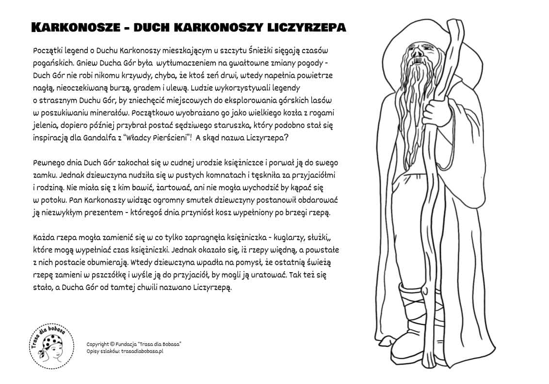
Legend of Liczyrzepa and Błędne Skały - coloring page for children
According to ancient legends, the shapes of Błędne Skały were the work of Liczyrzepa - the spirit of the Karkonosze Mountains. Allegedly, in the past, there was a regular mountain called Skalniak in the place of today's Błędne Skały. It became a place of worship for the local residents, who climbed to its summit to pay homage to the gods. Angry Liczyrzepa stomped his foot, causing the mountain to collapse into a rocky rubble with numerous passages and crevices.

Publish Date: