From Karlów to Błędne Skały (Errant Rocks) - an excellent trail connecting the two biggest attractions of Góry Stołowe
Nearby: Kłodzko
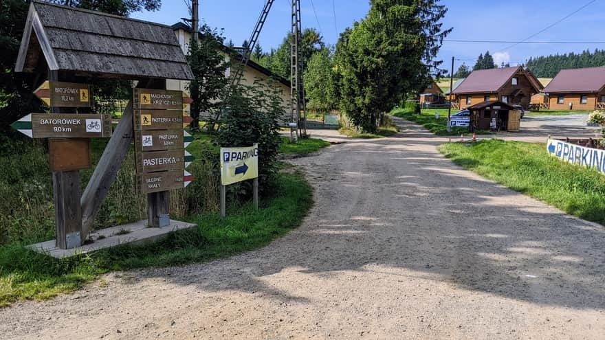
Karlów is a small village known as the gateway to Szczeliniec Wielki, but it is also not far from the Błędne Skały - less than 5km away, and you can reach it by a beautiful red PTTK trail. During the season, there are buses to Karlów, but it is difficult to get here without a car. There are many accommodations and parking lots in the village.
The trail from Karlów to Błędne Skały pleasantly surprised us and we highly recommend it to hiking enthusiasts.
- Karlów is also a starting point for Szczeliniec Wielki, and there are plenty of parking lots and accommodations here.
- The trail offers scenic views and connects the two biggest attractions of Góry Stołowe: Szczeliniec Wielki and Błędne Skały.
Pasterskie Łąki (Shepherd's Meadows)
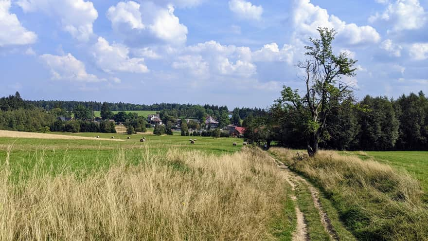
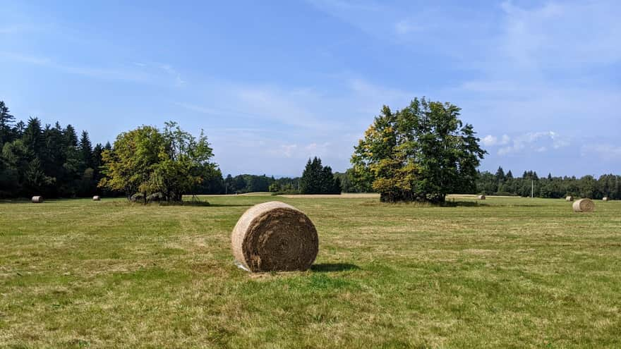
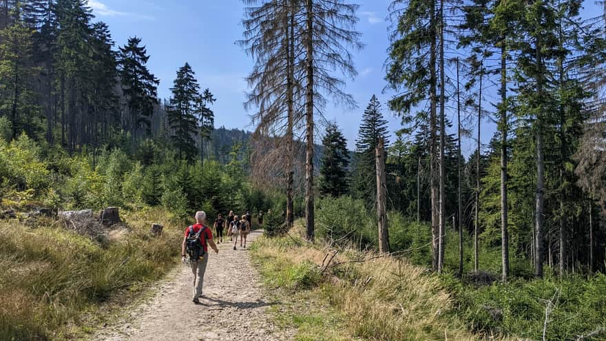
After just a few meters, we enter a vast and picturesque meadow. In its further part, we will come across several large boulders covered with small groves. We will have a constant view of Szczeliniec Wielki.
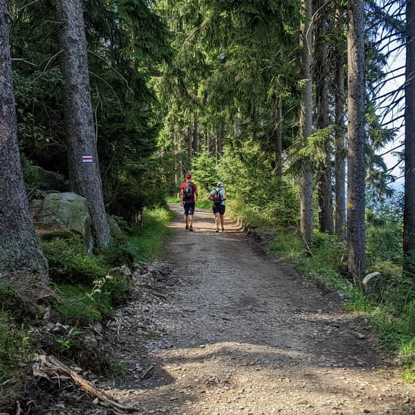
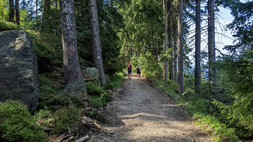
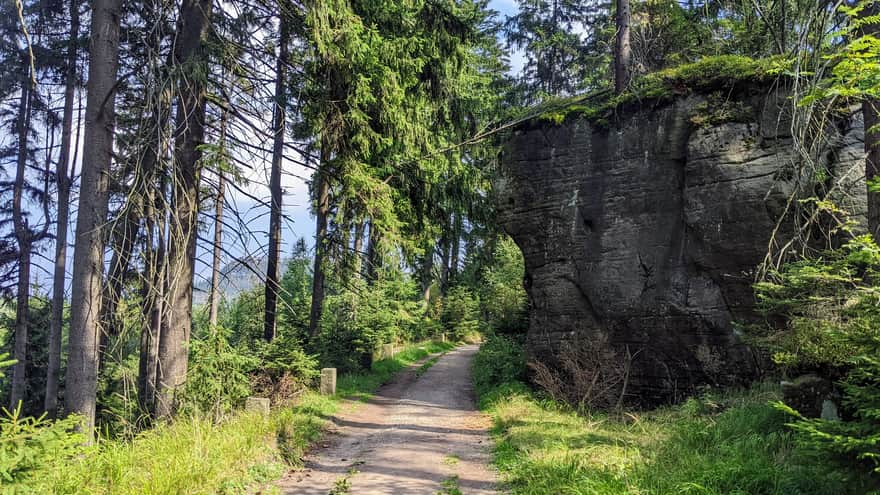
Passing through the forest
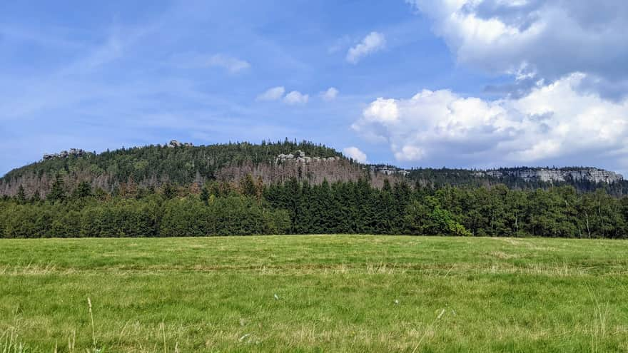
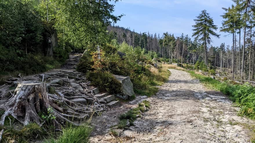
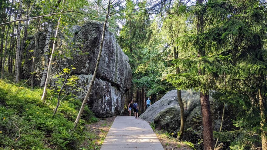
From the meadow, we enter a dense forest, which quickly starts to thin out, revealing beautiful views. The path will be wide for most of this section. Along the entire trail, we will encounter blocks and rock formations of various sizes. This section of the trail is gentle, first leading uphill and then gently descending towards the waterfall.
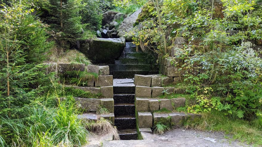
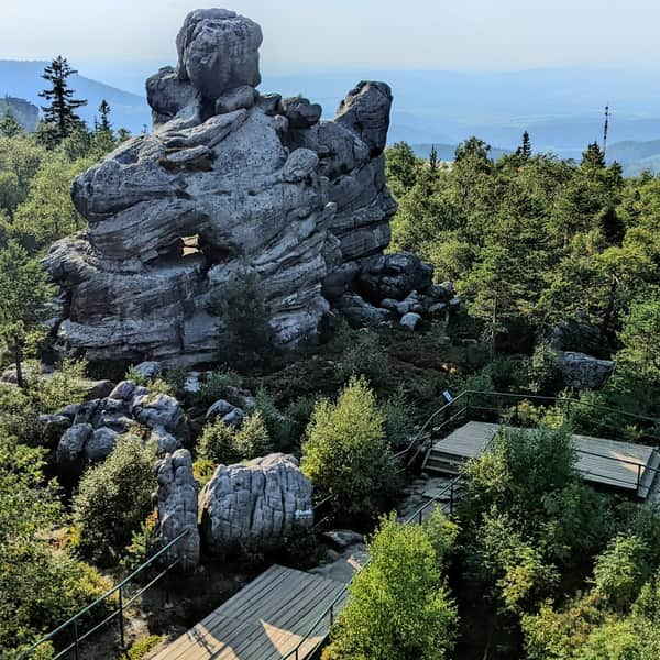
Approaching Błędne Skały
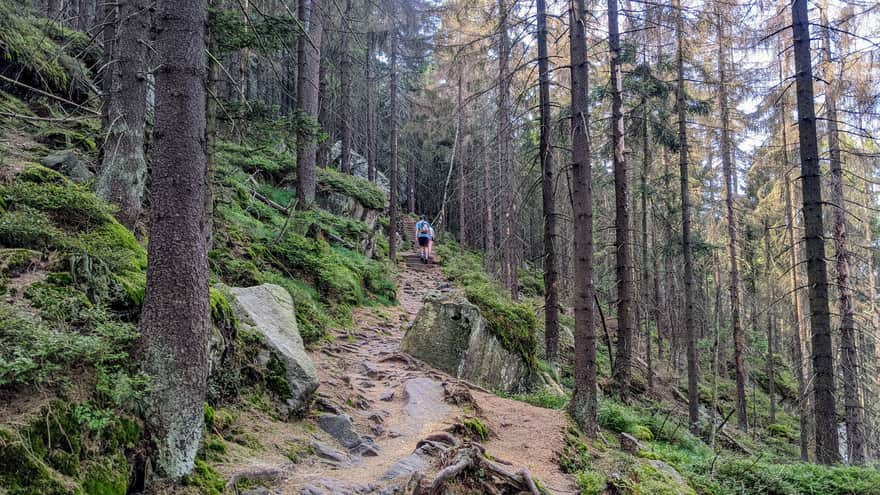
After the waterfall, the trail turns left, and here we will gain most of the elevation - Błędne Skały are located on top of Skalniak, which is 852 meters high.
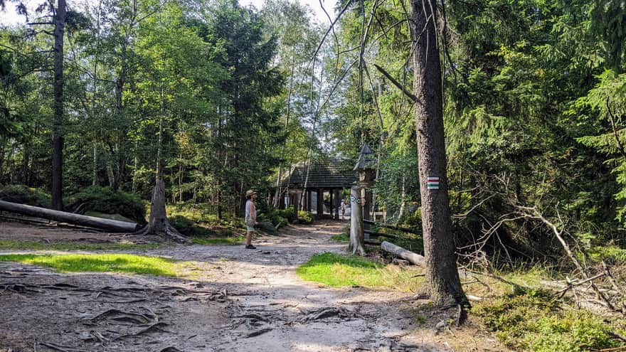
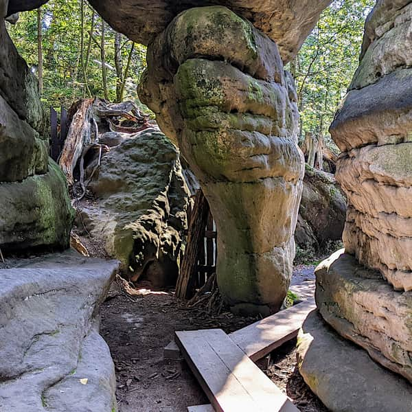
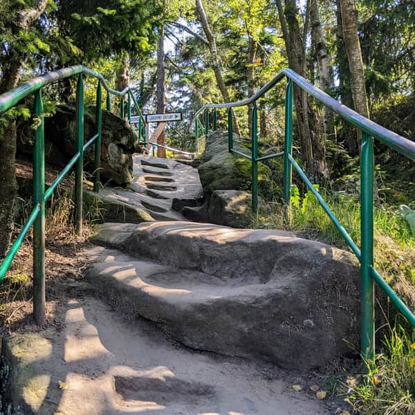
Approaching the ticket booths
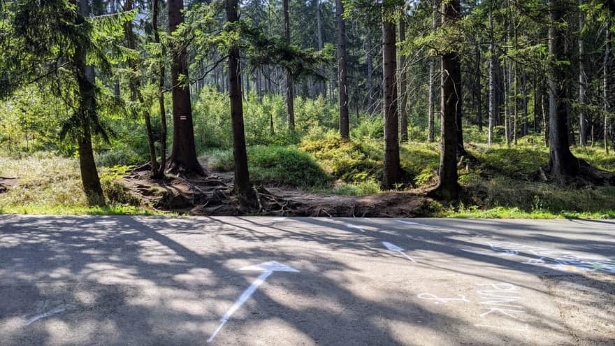
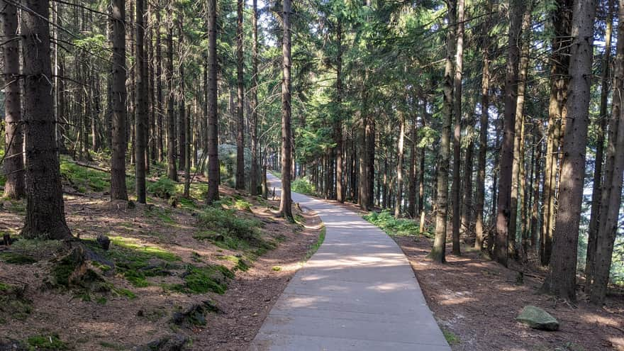
The trail first leads us to the exit of the rocky labyrinth, so we still have to walk another 500 meters uphill to reach the ticket booths, as the path through the Błędne Skały rock maze is one-way. This section is comfortable and enjoyable, and it can be quickly covered as the surface is paved with concrete slabs. Along the way, there will be two viewpoints.
Medium
Magical Labyrinth "Errant Rocks" - Loop starting from the ticket office


Publish Date: 2023-10-01