Trail from Kudowa-Zdrój to Błędne Skały (Errant Rocks)
Nearby: Kudowa-Zdrójdirections_bus Can be reached by bus
train Access by train possible
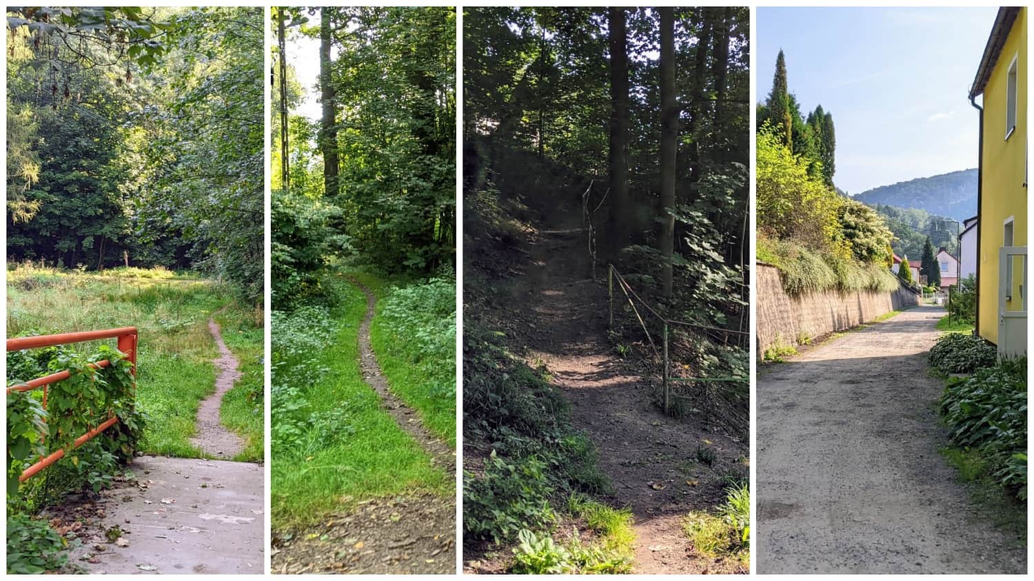
The easiest way to get to Błędne Skały from Kudowa-Zdrój is by car (public transportation is very limited here...). For those who enjoy longer walks, taking the hiking trail is also a good option. The route is picturesque, pleasant, and safe, except for a section of 700 meters without a sidewalk when leaving the town.
A shorter and safer hiking trail starts from the village of Karłów, but finding buses there is difficult, especially during the off-season.
Medium
From Karlów to Błędne Skały (Errant Rocks) - an excellent trail connecting the two biggest attractions of Góry Stołowe

Getting there and starting the trail
One of the advantages of Kudowa-Zdrój is the possibility of reaching it by train, and the size of the town (around 10,000 inhabitants), which provides a large base of restaurants and accommodations. If you want to start the trail right from the train station, you will need to walk an additional 2 kilometers from the station to the city center.
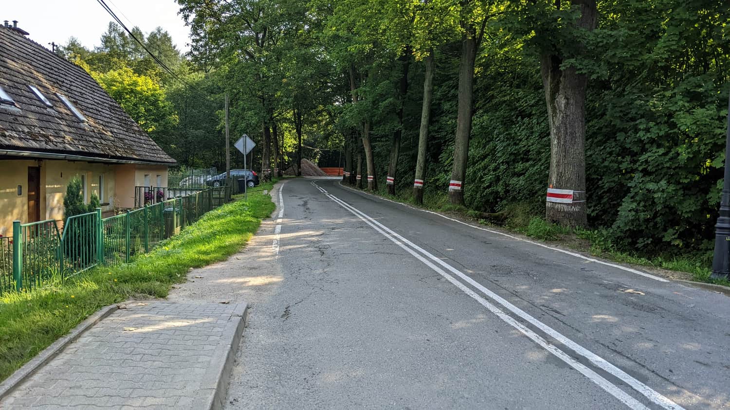
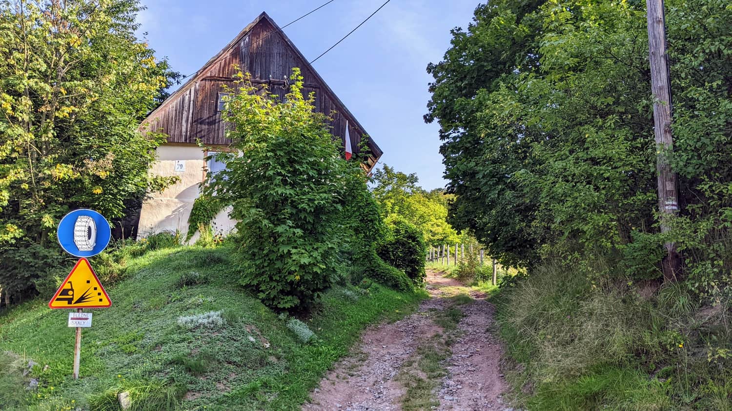
The first 1.5 kilometers involve leaving the town, with 700 meters of road without a sidewalk, and cars can drive quite fast here...
Right next to the road, you will come across a wooden historic bell tower.

Avoiding the dangerous road section
We managed to shorten the unpleasant section without a sidewalk by 400 meters by crossing a small bridge and taking a narrow path along the river.
The rest of the trail
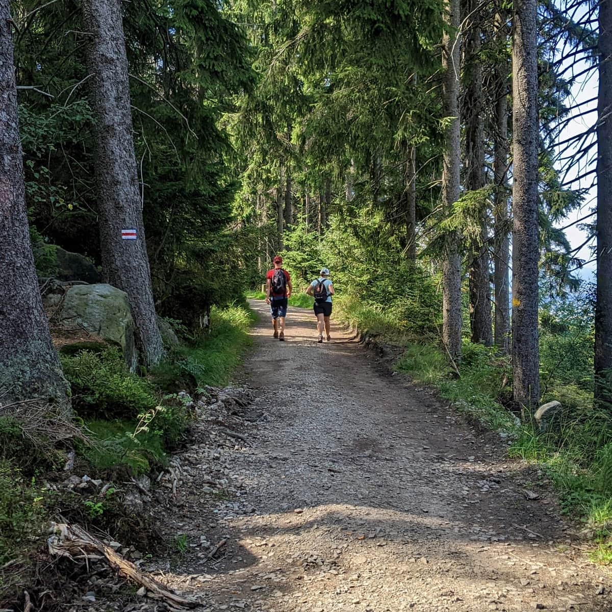
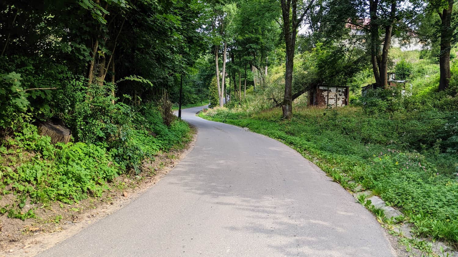
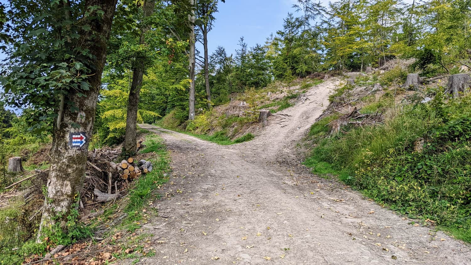
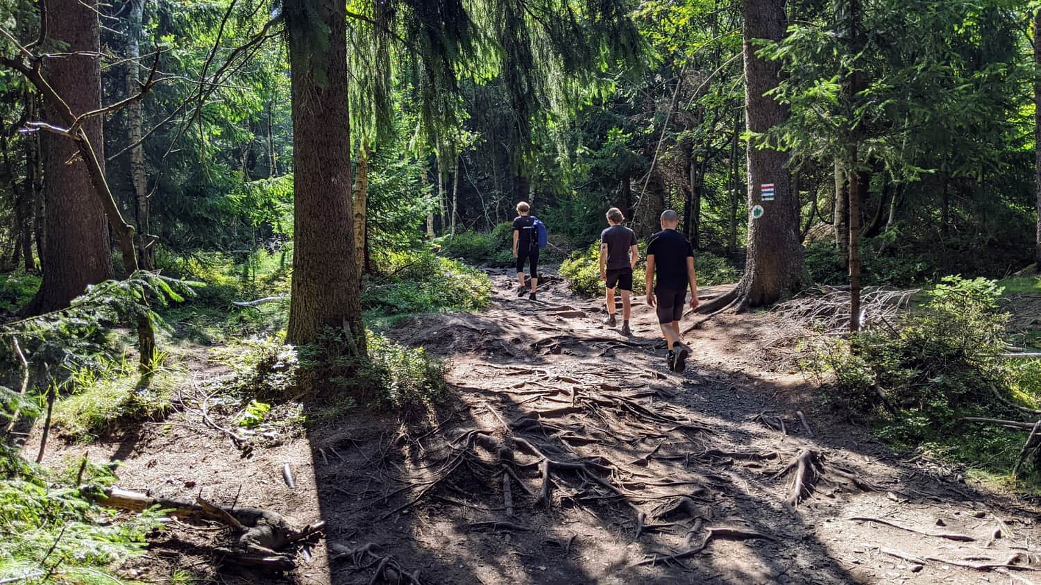
After bypassing the dangerous section, the remaining part of the trail to Błędne Skały is a pleasant hike. First, we will hike through the forest and then walk a short stretch on a road with low traffic.
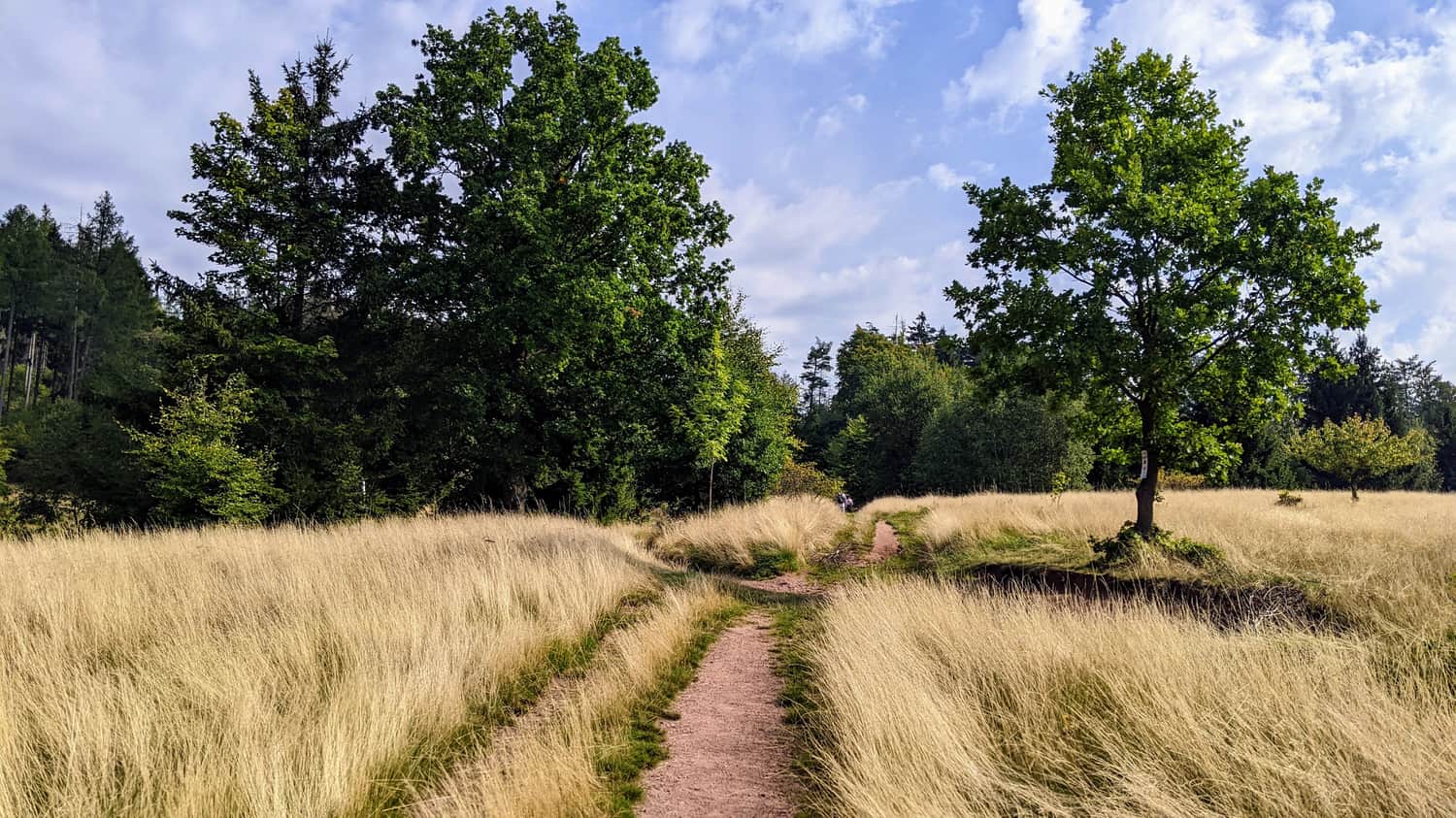
Two notable parts of the trail are a scenic meadow halfway and the ascent to Błędne Skały, where you will be rewarded with many beautiful views.
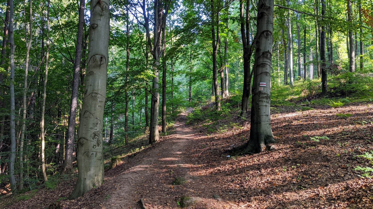
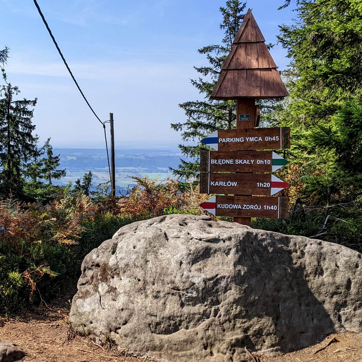
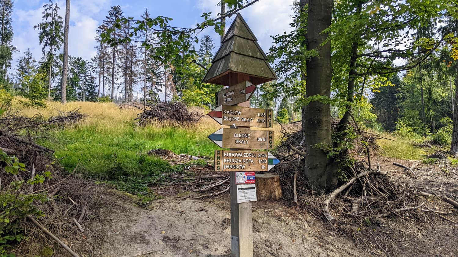
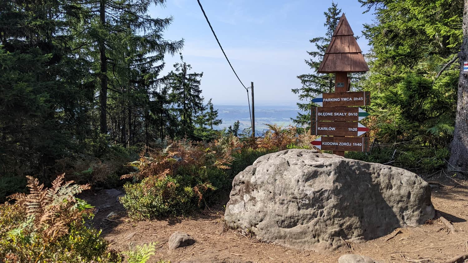
At some point, the red trail we are following merges with the blue trail leading from Polana Imka (free YMCA parking). If you carefully look at the sign, you may feel a little bit deceived because our trail indicates 20 minutes to the destination, while the blue trail only takes 15 minutes. However, this is because the blue trail ends at the parking lot, while the red trail takes us all the way to the ticket office.
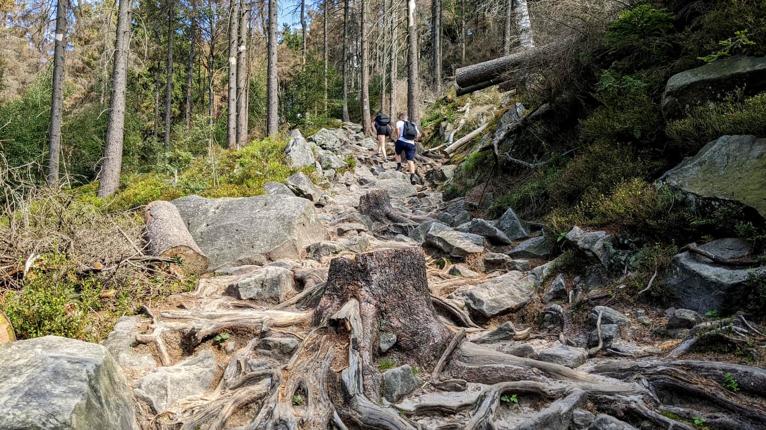
Final stretch uphill
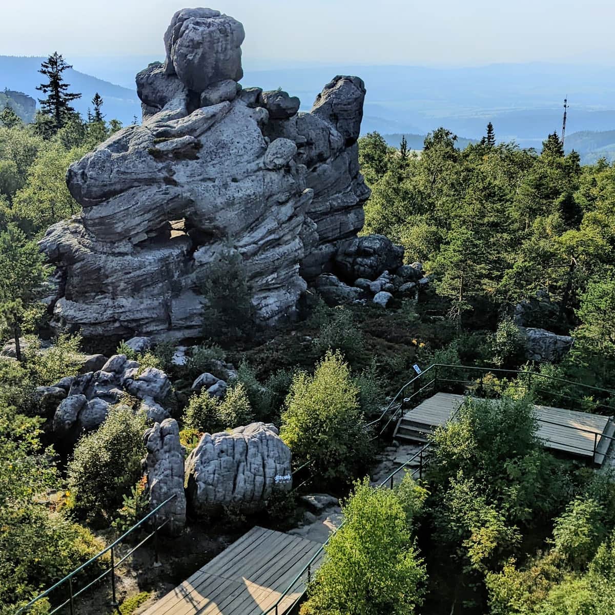
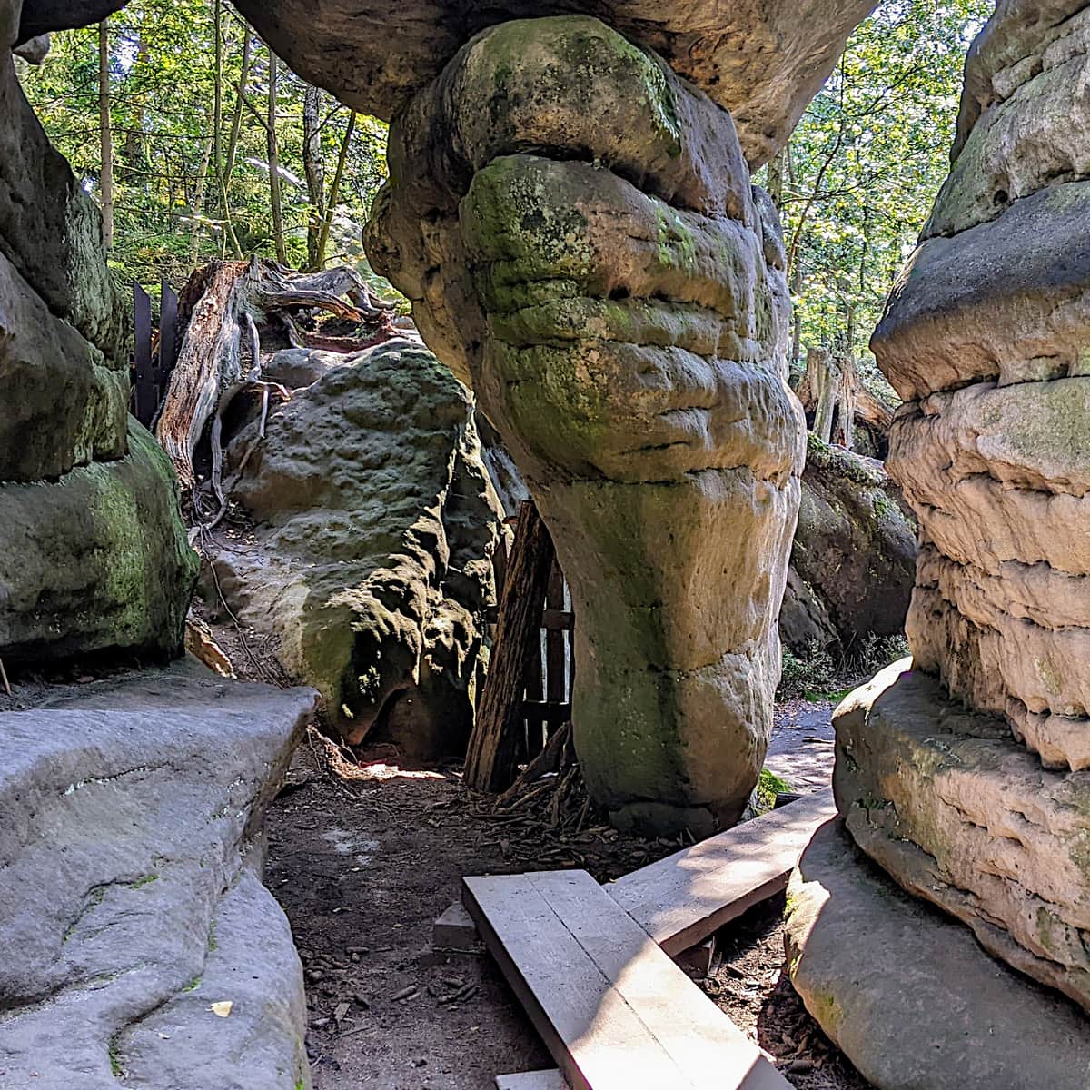
From this point, the trail changes its character a bit, and at times, it will be quite steep. Błędne Skały are located at the top of Skalniak hill, which has an elevation of 852 meters. Along the trail, you will encounter wooden footbridges and, of course, the rocks that you came here for... more and more rocks.
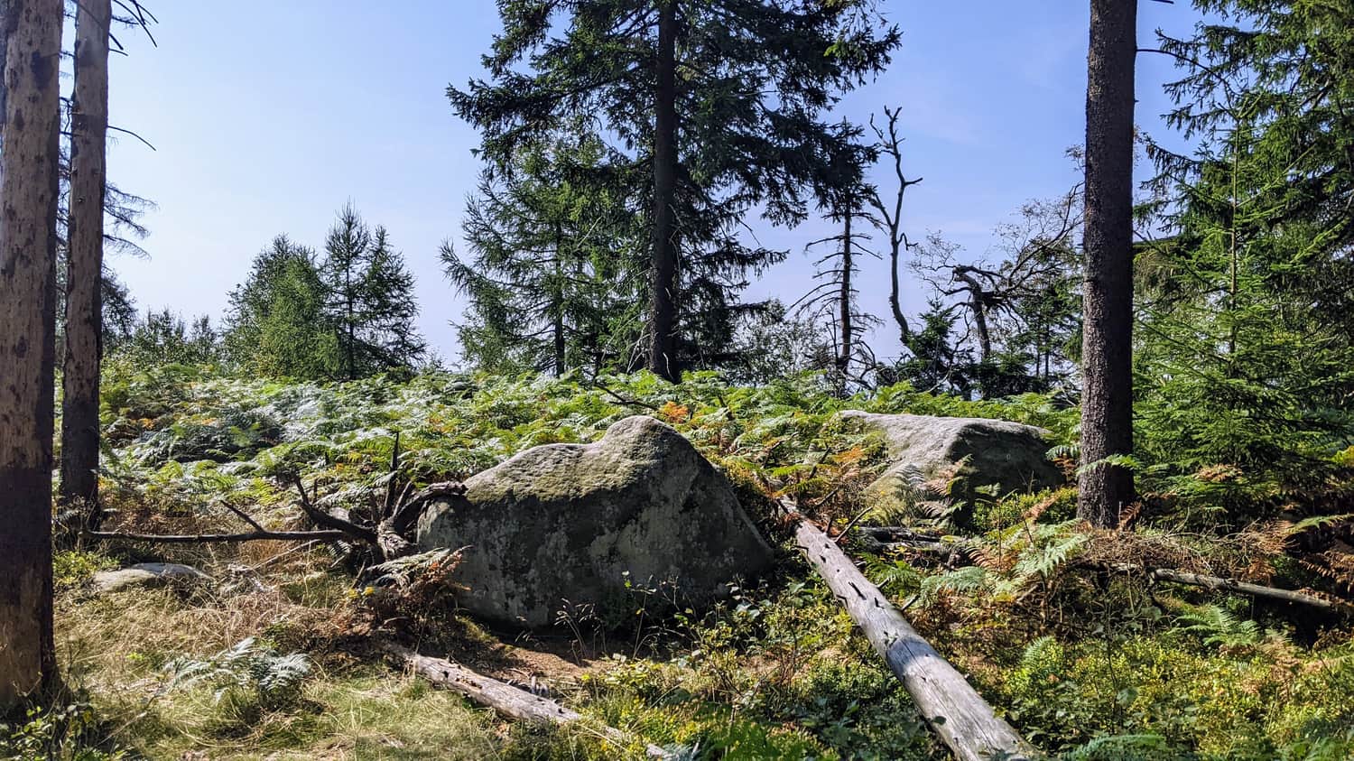
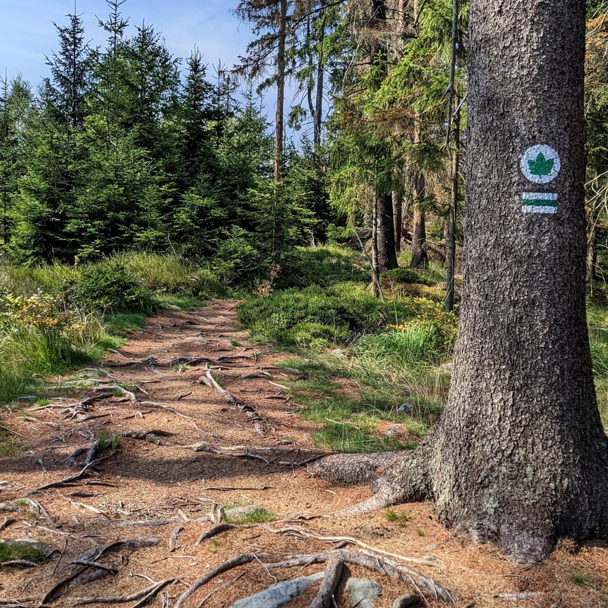
You won't miss the intersection with the green trail, marked by a characteristic trail sign next to a large rock on a meadow with ferns and a viewpoint. Take a moment to stop here.
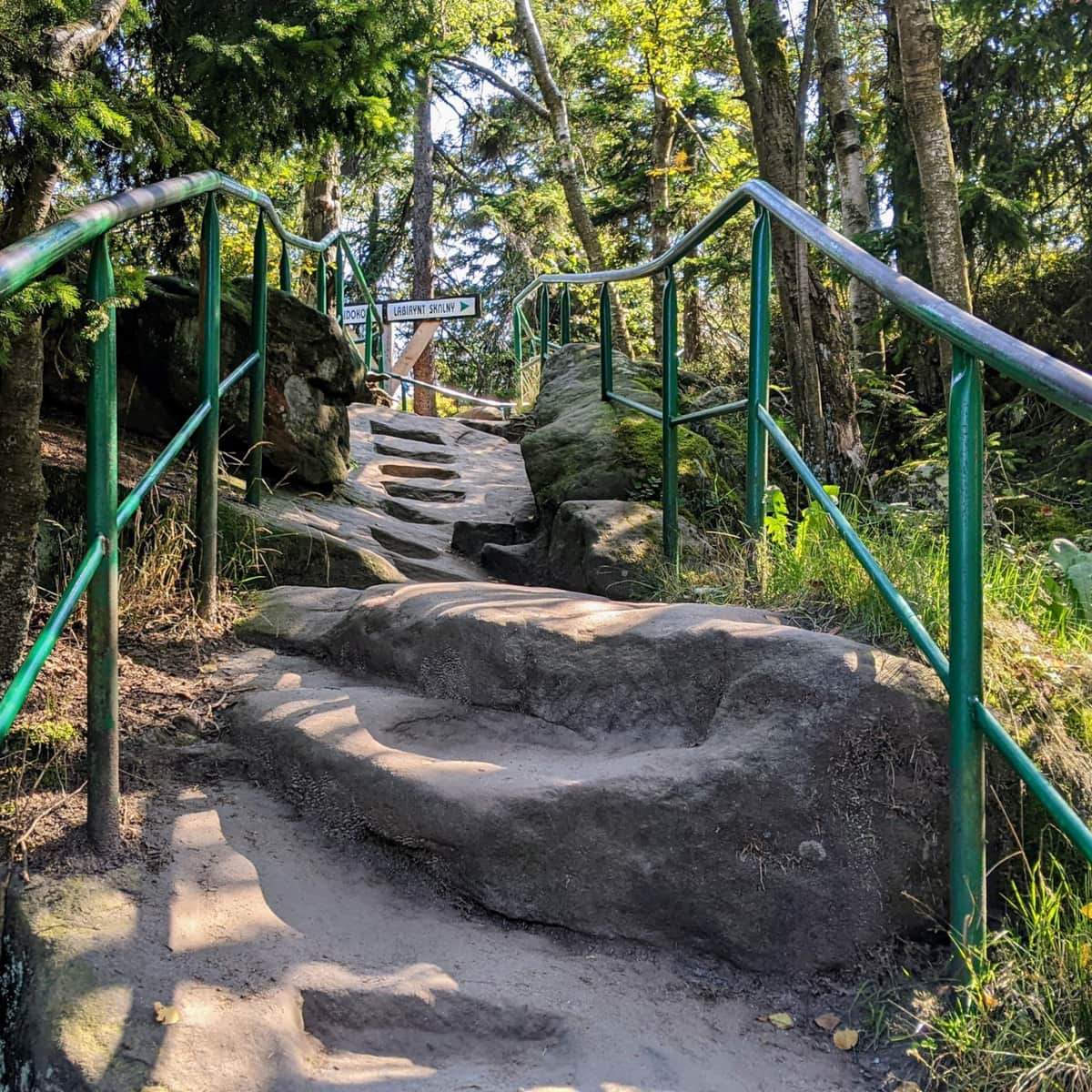
Parking and entrance to the rock labyrinth
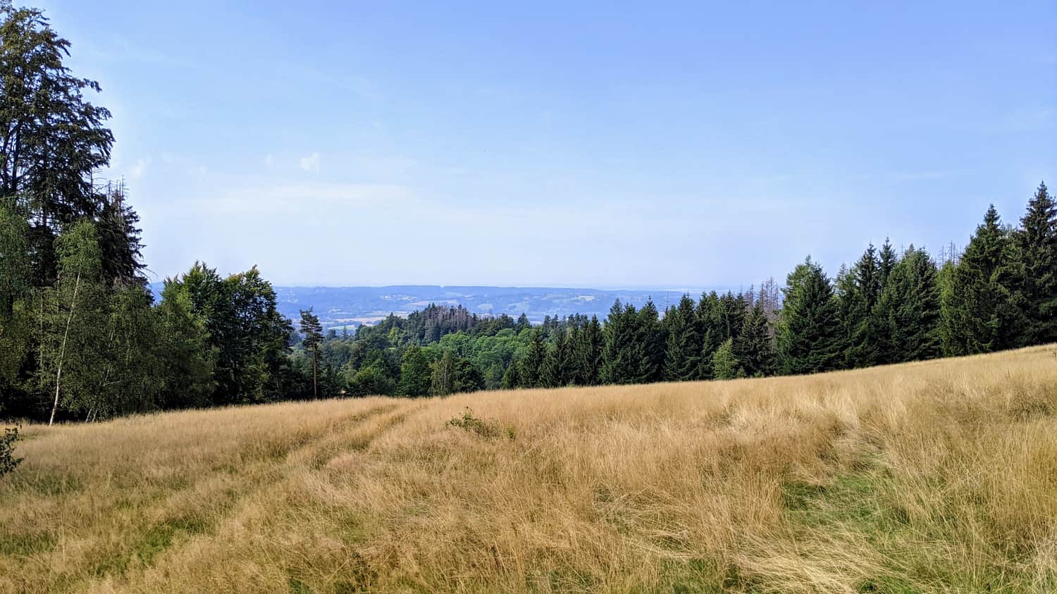
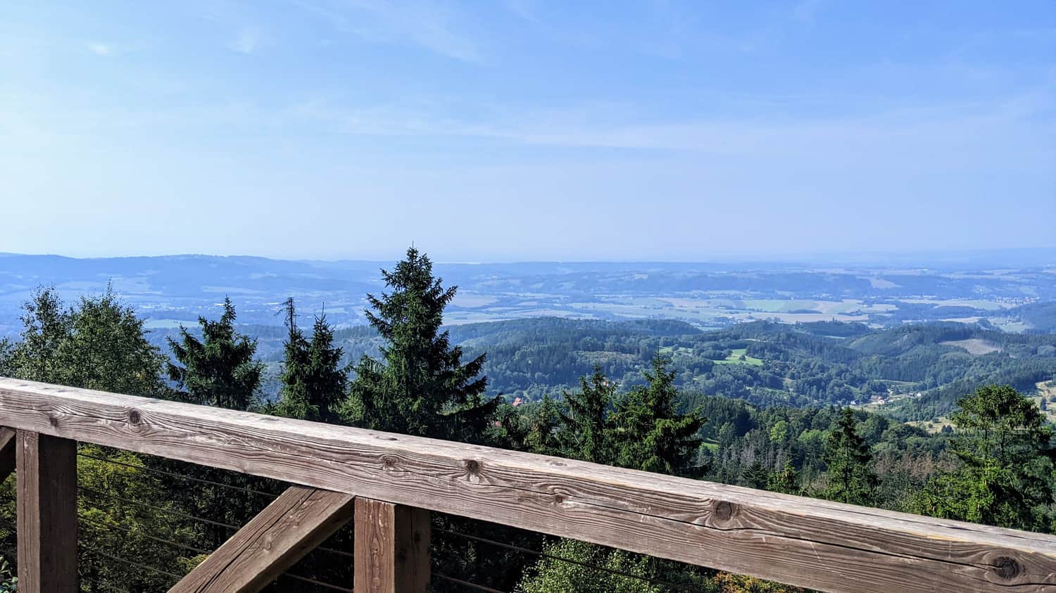
The trail leads us to a parking lot and the entrance to the rock labyrinth. Right next to the parking lot, there is a viewpoint - as you may remember, we climbed to the top of Skalniak, where Błędne Skały are located, so from the hill, you can enjoy beautiful views of the surroundings.
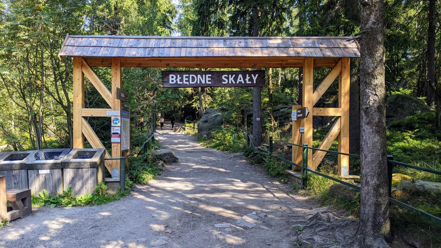
Błędne Skały
Here we have two loops - a shorter one leading through the rock labyrinth and a longer one around Błędne Skały. In addition, there are viewpoints along the way.
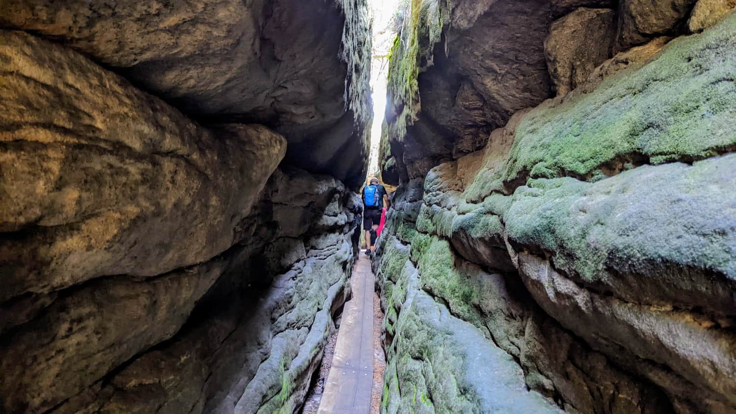
Small loop: the rock labyrinth
The small loop with viewpoints takes us among the rocks - we walk on wooden footbridges because water tends to accumulate in the crevices, making it a bit muddy. In the summer, you will feel a blissful coolness here, almost like in a cave. The passages between the rocks can be really narrow!
Medium
Magical Labyrinth "Errant Rocks" - Loop starting from the ticket office

Big loop: around Błędne Skały
You can also walk around Błędne Skały - it's a scenic and easy walk. The area itself is beautifully situated.
Easy
Trail around the Errant Rocks

See also:
Błędne Skały (Errant Rocks) - trails and attractions
Błędne Skały, also known as the Errant Rocks, is undoubtedly one of the biggest attractions of the Polish Table Mountains! ...

Publish Date:
Last Updated: