
The Red Trail to Mount Szyndzielnia
Nearby: Bielsko-Biała| Distance | 6.0km |
|---|---|
| Time | 3h 7min |
| Ascents | 648m |
| Descents | 60m |
beach_access Route in the shade
restaurant Restaurant or bar nearby
sports_basketball Playground along the route
directions_bus Access by public transport
wc Toilet along the route
The red trail to Szyndzielnia (1,028 m / 3,373 ft) is the most popular walking route to this viewpoint peak overlooking the city of Bielsko-Biała in southern Poland. The route gains about 600 m (1,970 ft) of elevation using wide switchbacks, with no difficult steep sections.
Start of the red trail to Szyndzielnia
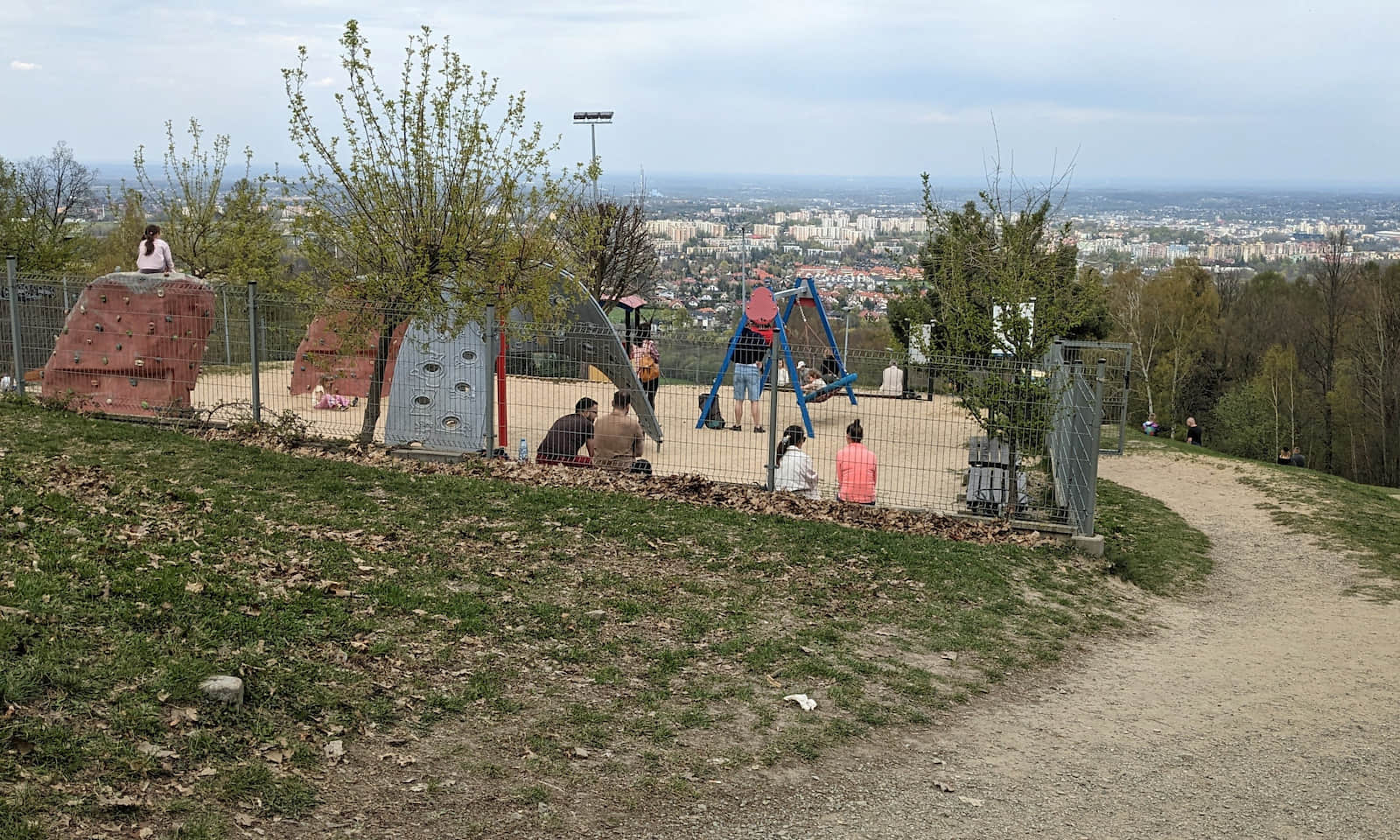
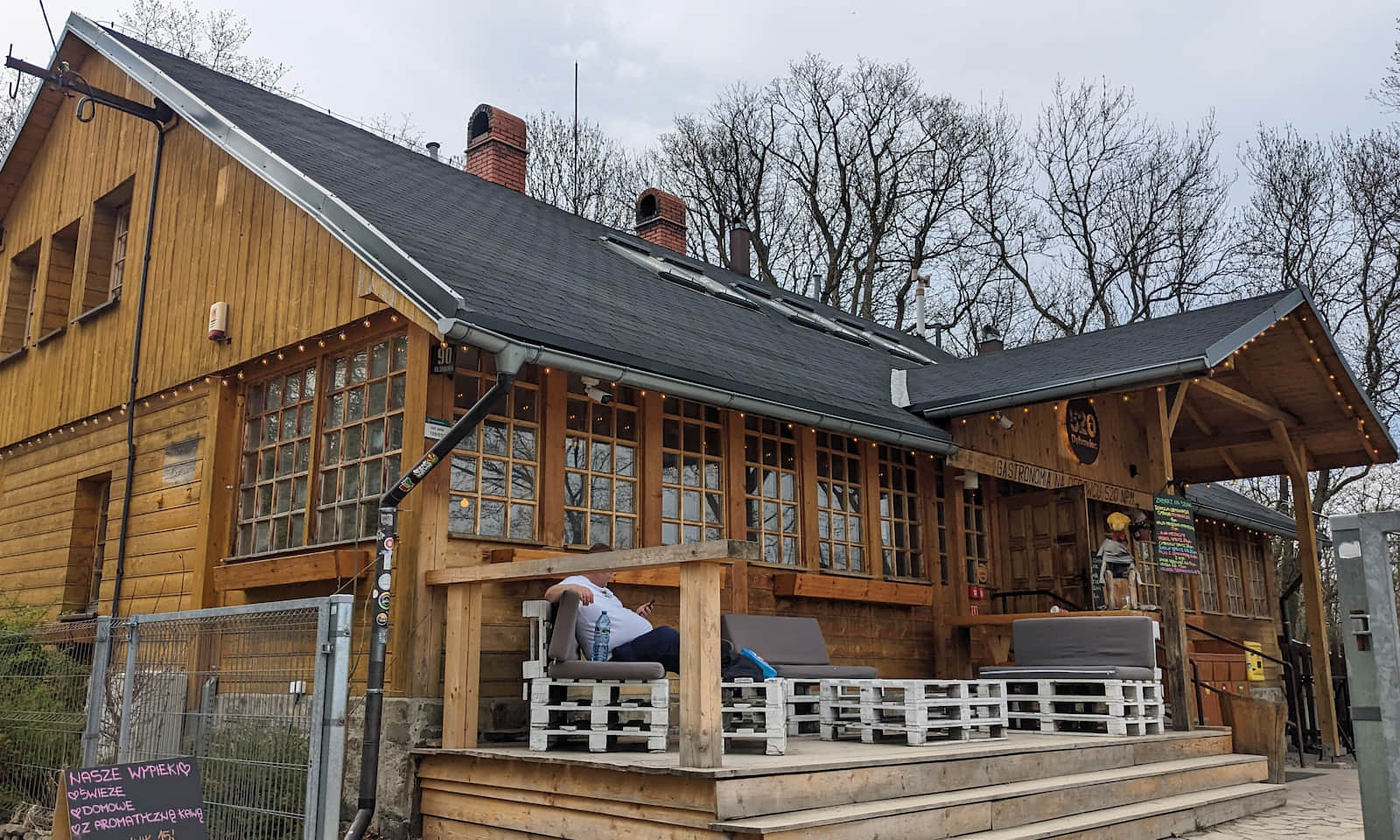
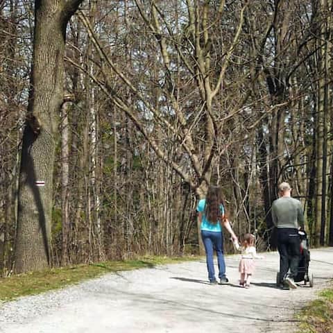
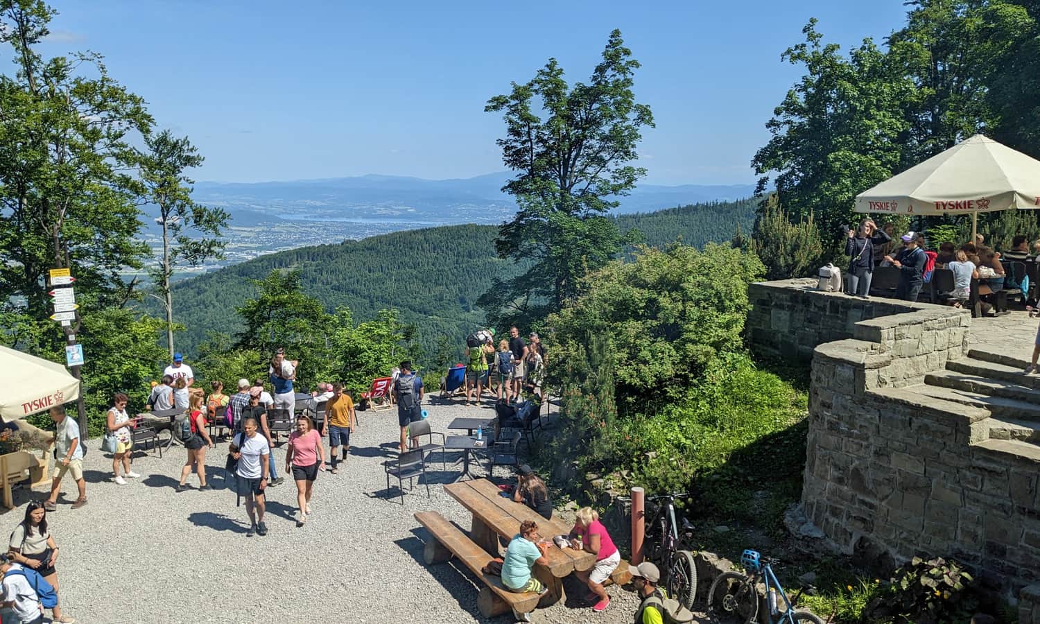
It is best to start the red trail hike to Szyndzielnia in the Olszówka Górna neighborhood of Bielsko-Biała. There is a bus stop nearby (Karbowa) and a parking lot. The first part follows an easy road up to Dębowiec Meadow (Polana Dębowiec). This is a good place for a first break: there is a simple inn with basic meals and drinks, a playground, and a large open picnic meadow with views:
More about this section of the trail:
Easy
Dębowiec from Olszówka Górna

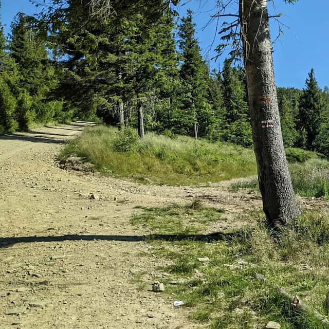
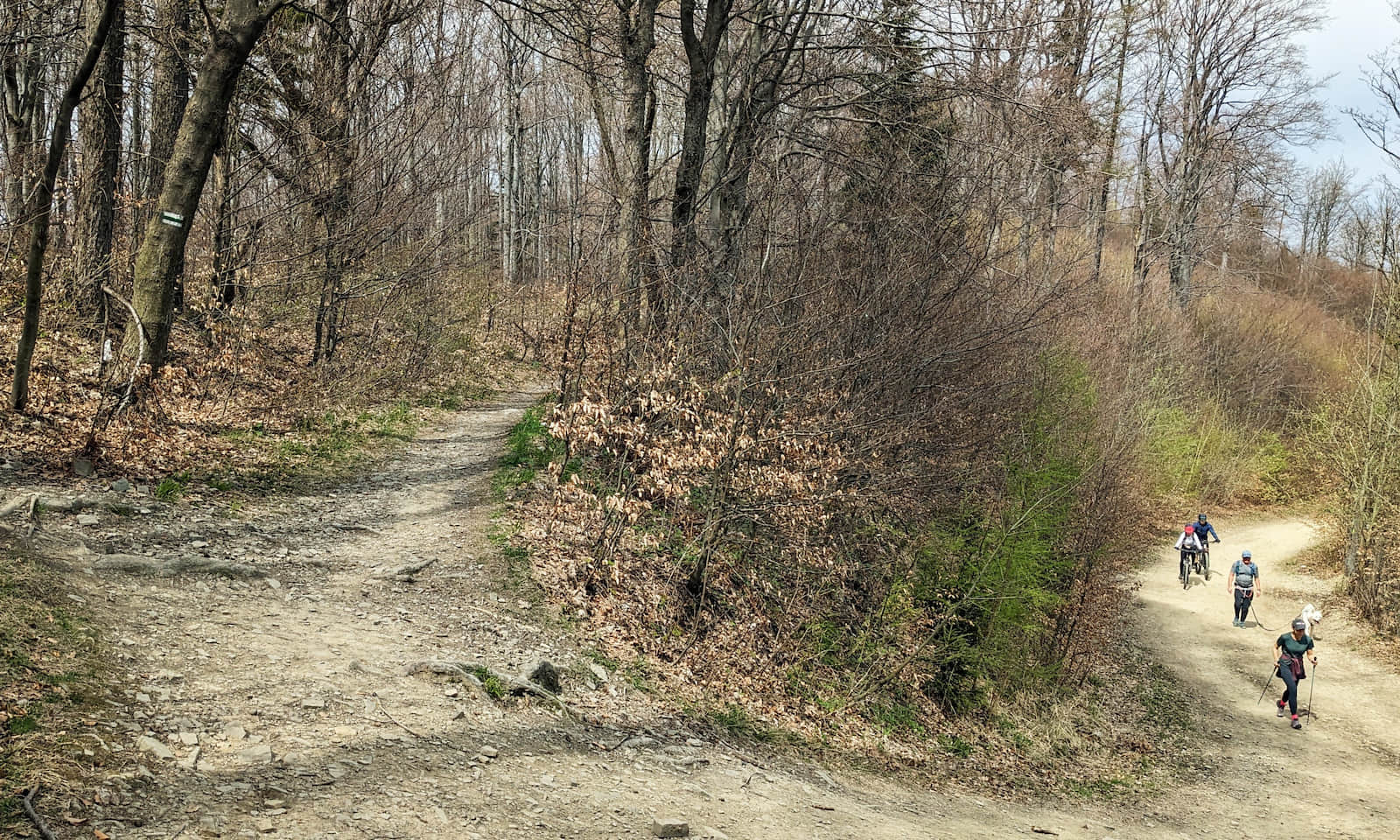
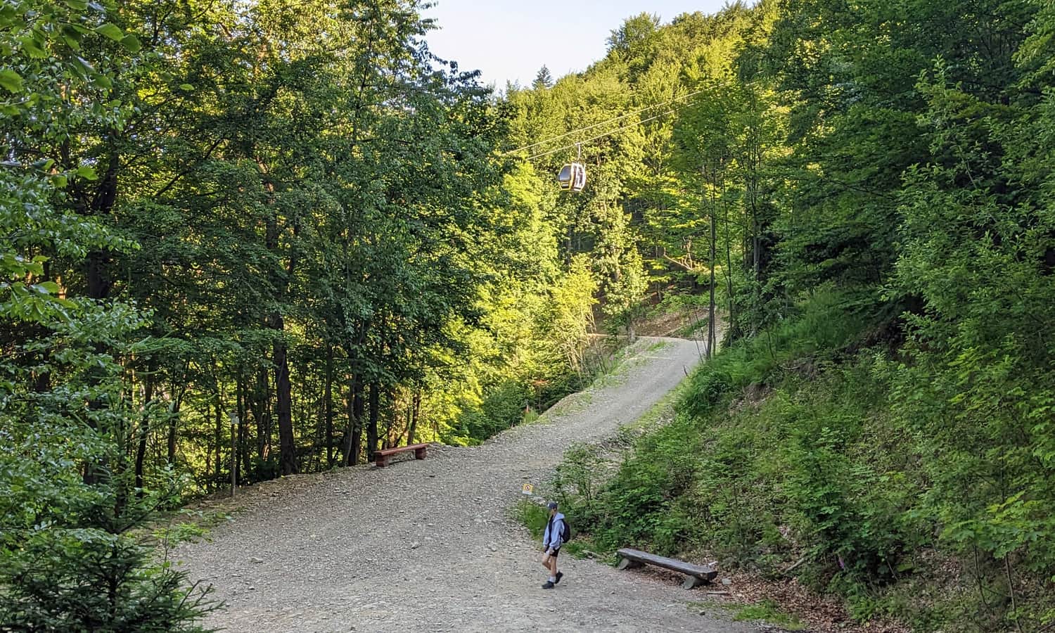
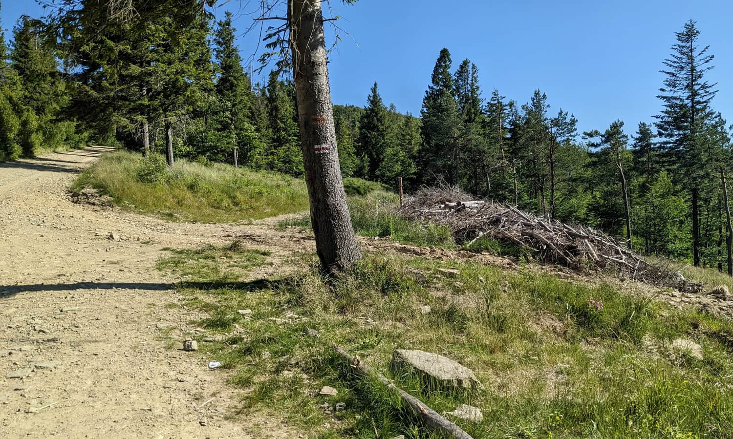
While hiking the red trail to Szyndzielnia, you will cross the green trail several times. The red trail stays on a comfortable road with many bends, while the green trail cuts the corners on forest shortcuts. (In Poland, trail colors show the route, not the difficulty.) You will also be able to wave to people using the gondola cable car:
Attention!
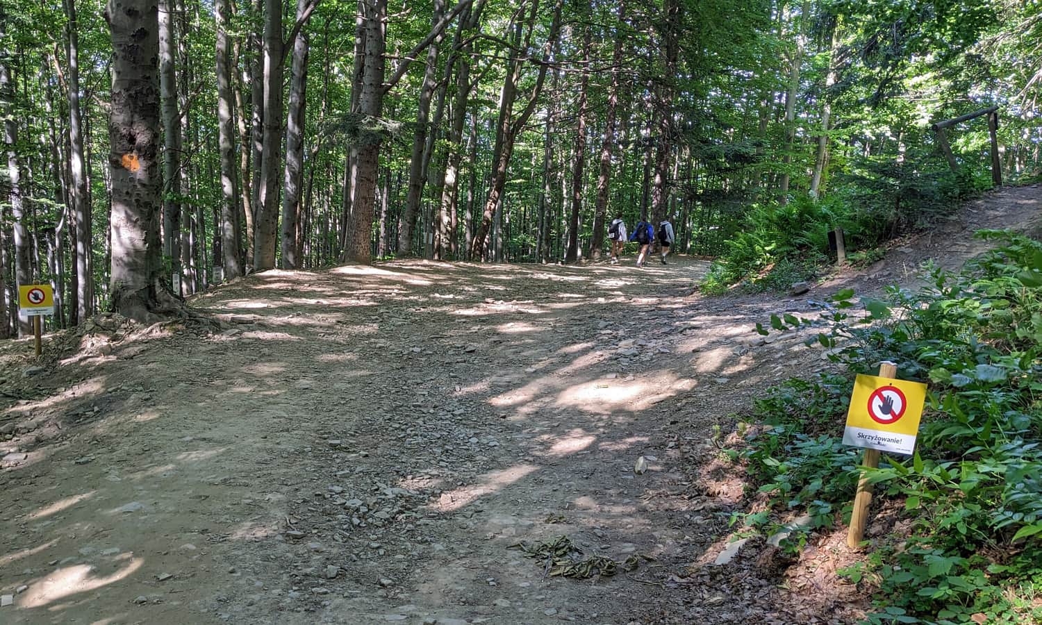
Many bike trails cross the slopes of Szyndzielnia and Dębowiec. Crossings with hiking trails are marked. Please watch both the signs and for fast riders on bikes!
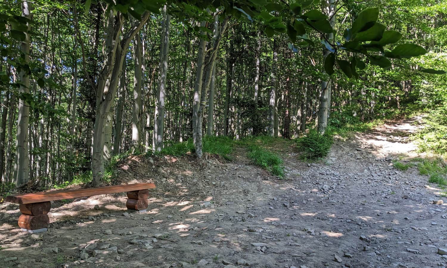
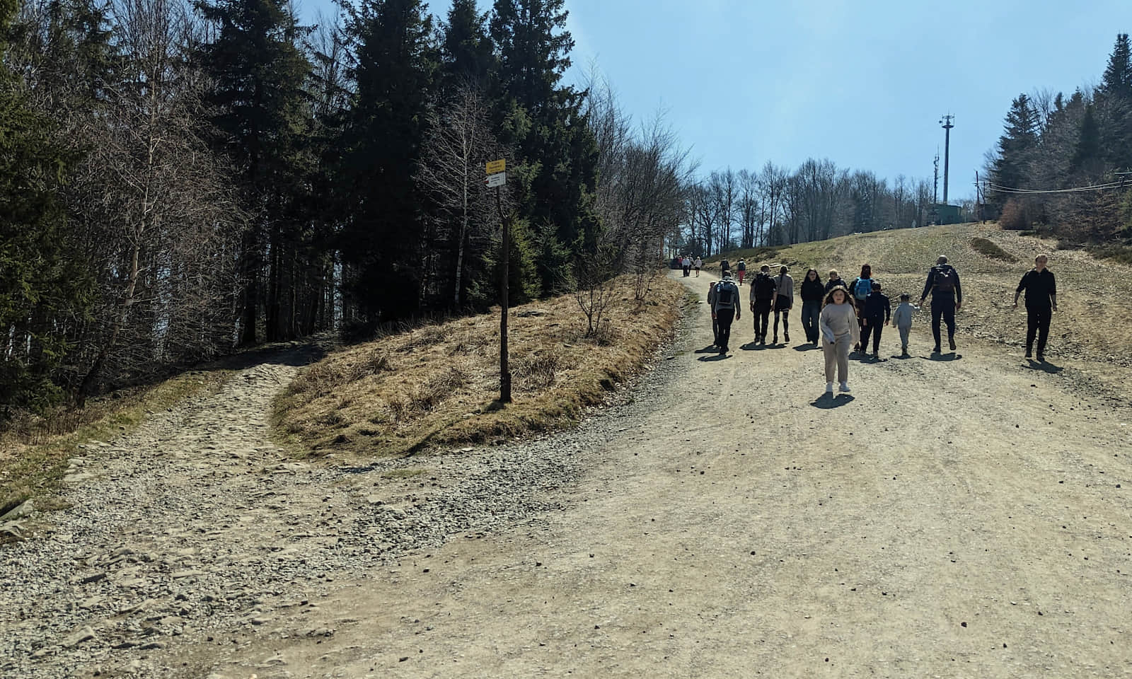
Just before you reach the upper station of the gondola, the forest opens a bit and you get a few small viewpoints:
PTTK mountain hut and the summit of Szyndzielnia
When you reach the wide meadow above the upper gondola station, the mountain hut (PTTK – Polish Tourist and Sightseeing Society) is only a 5–10 minute walk away:
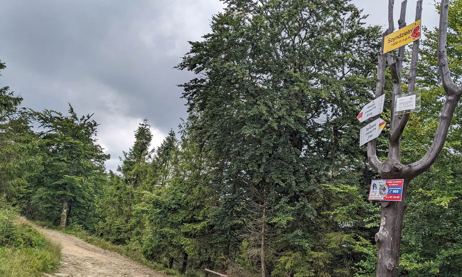
From the hut it takes about 10 more minutes to the very top of Szyndzielnia, 1,028 m (3,373 ft). Keep following the red markers:
More about the Szyndzielnia hut, views, attractions, and other trails to the summit here:

Mount Szyndzielnia – mountain hut, scenic views, and trails to the summit.
Szyndzielnia (1,028 m a.s.l.) is a peak in the Silesian Beskids with lots to offer. What is worth knowing, what attractions await at the top, and which trail should you choose to get there? ...
...and the way back
For the return you can ride the gondola down, walk back the same red route, or choose the green trail, which is shorter and therefore faster, but steeper. This makes a classic hiking loop on Szyndzielnia.

Medium
Szyndzielnia. Loop: Red and Green Trail


More in the Region Beskid Śląski (Silesian Beskid)


