
Scenic ridge trail: Skrzyczne - Barania Góra
Nearby: Bielsko-Biała| Distance | 10.0km |
|---|---|
| Time | 3h 34min |
| Ascents | 431m |
| Descents | 466m |
wb_sunny Route in the sun
restaurant Restaurant or bar nearby
directions_car Access by car
directions_bus Can be reached by bus
A beautiful scenic route along the ridge between the highest peaks of the Silesian Beskids: Skrzyczne (1257 m above sea level) and Barania Góra (1215 m above sea level) leads through the picturesque and incredibly photogenic Malinowska Rock. The altitude difference may seem small, but as it is with ridge trails: we will be hiking up and down. A steep climb awaits just below the summit of Barania Góra.
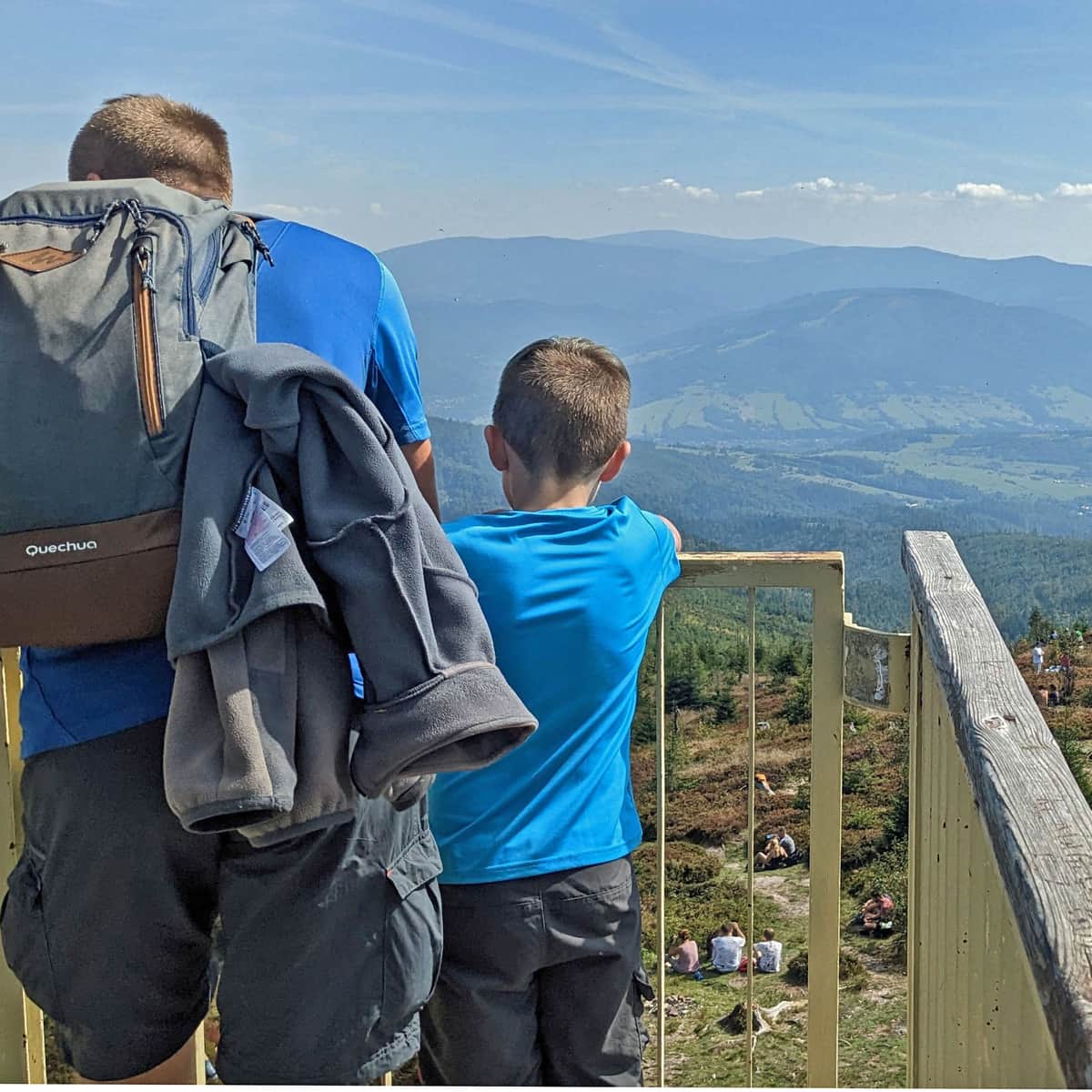
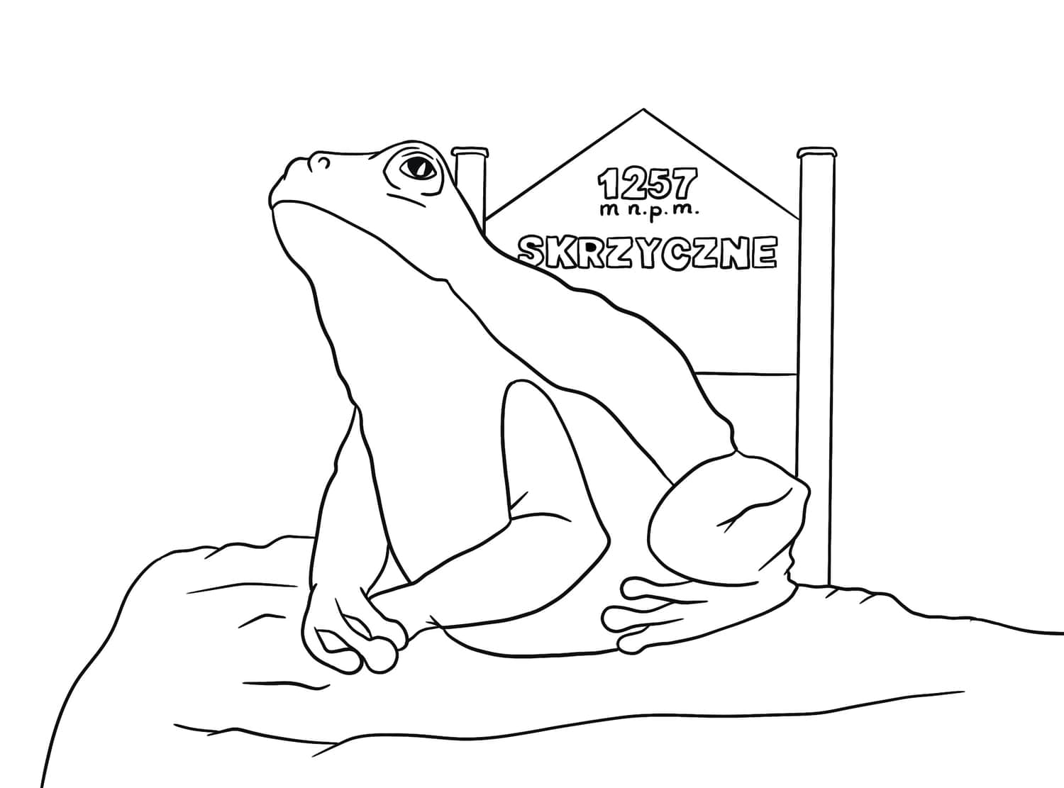
Skrzyczne, 1257 m above sea level
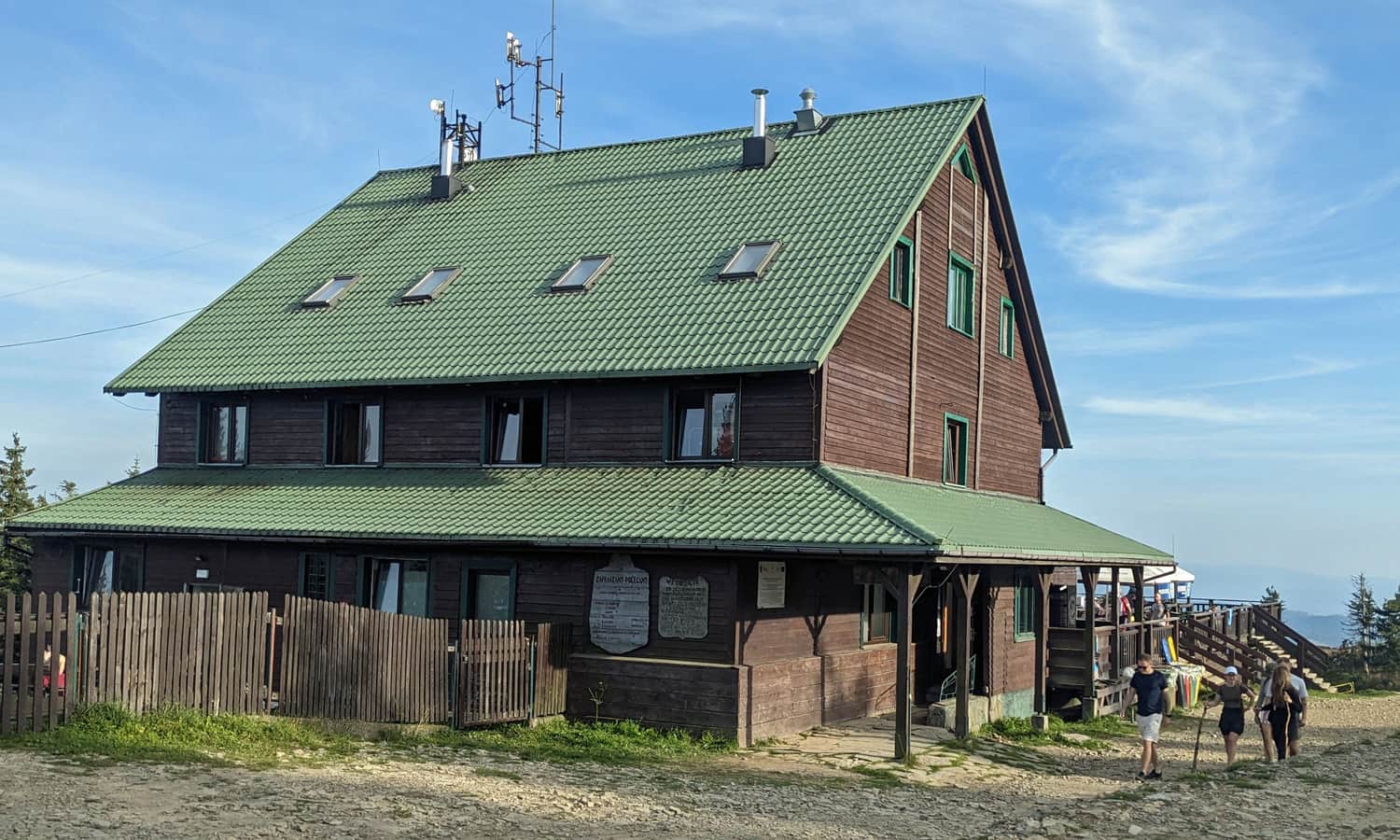
The ridge route begins at the highest peak of the Silesian Beskids. You can get here on foot (e.g. from Szczyrk or Lipowa), but if you plan to go all the way to Barania Góra, consider taking the cable car: either to Skrzyczne itself (cable car to Skrzyczne >>>) or to Małe Skrzyczne - this will shorten the route by about 1 km (cable car to Małe Skrzyczne >>>). At Skrzyczne, there is a PTTK shelter (hot meals, snacks, drinks, toilet).
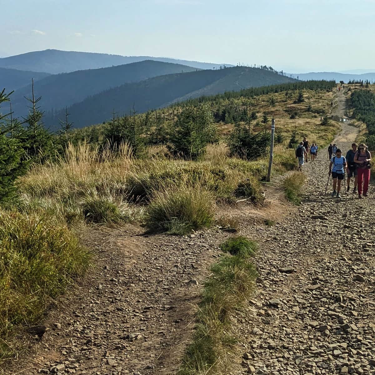
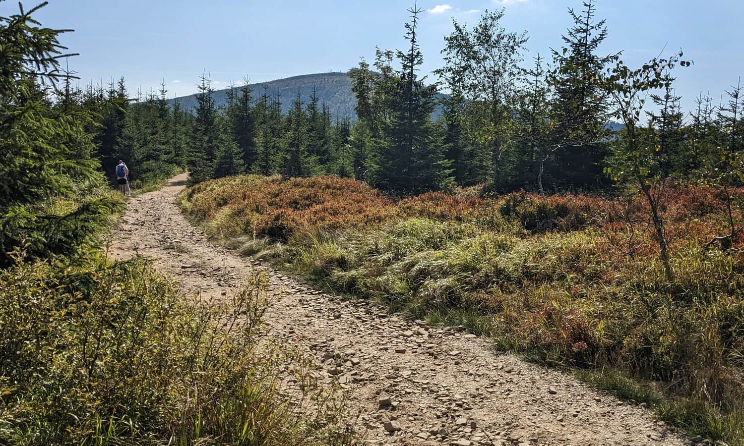
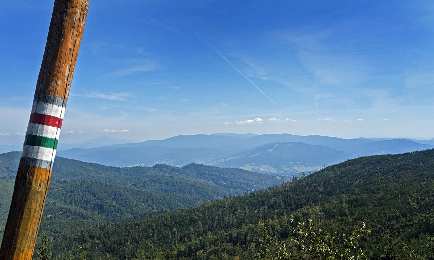
From Skrzyczne, we descend the green, ridge trail along a very scenic, wide road towards Kopa Skrzyczeńska and Malinowska Rock.
Beautiful panoramas spread on both sides: to the west on the Silesian Beskids: including the Stożek and Czantoria ranges, to the east: the Żywiecki Beskids with the dominating Babia Góra.
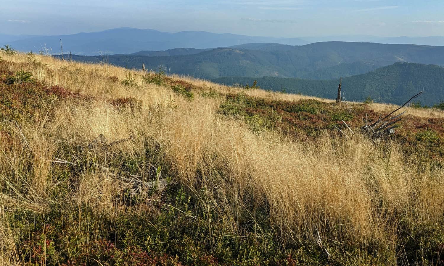
Our destination, Barania Góra can be seen right in front of us: it's that big green hill in the background:
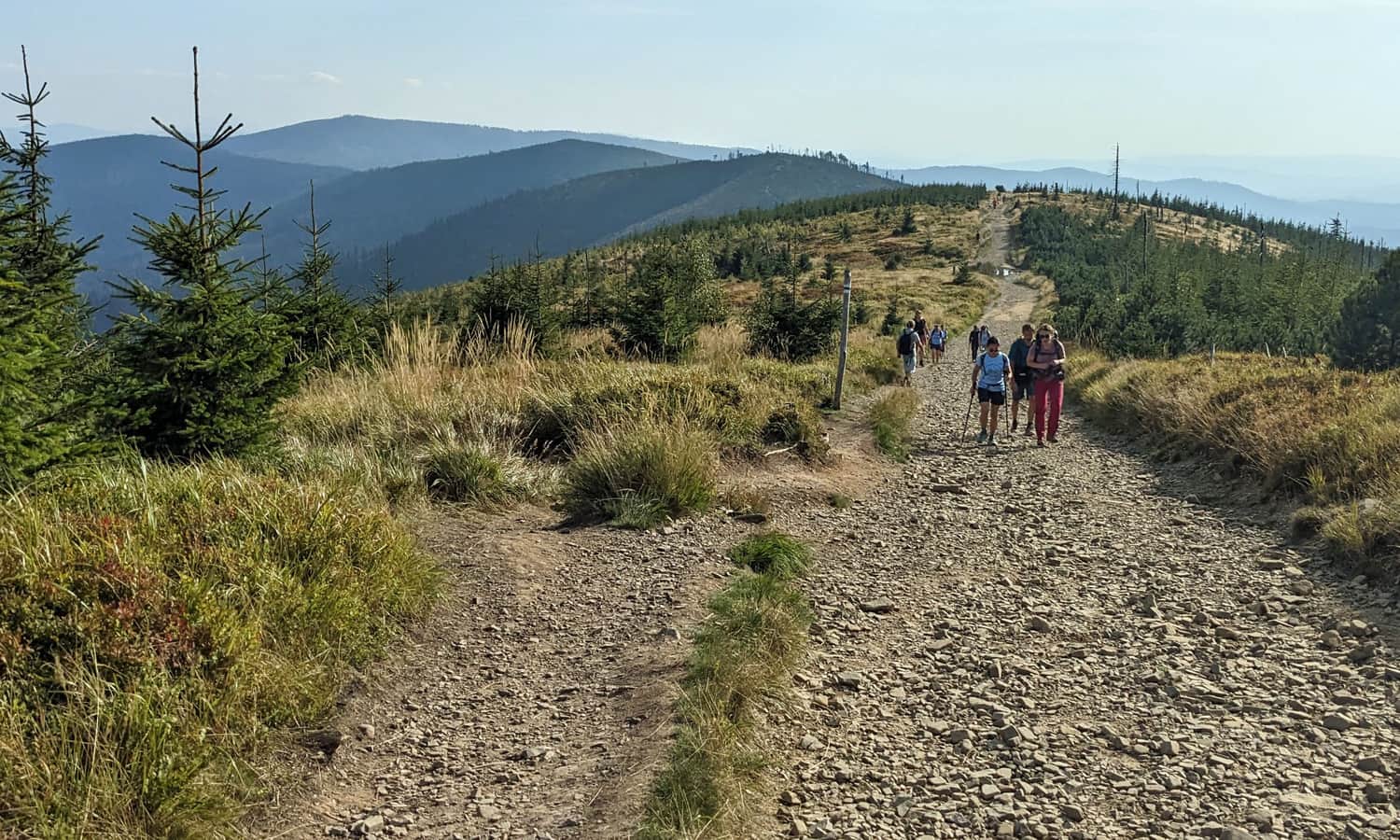
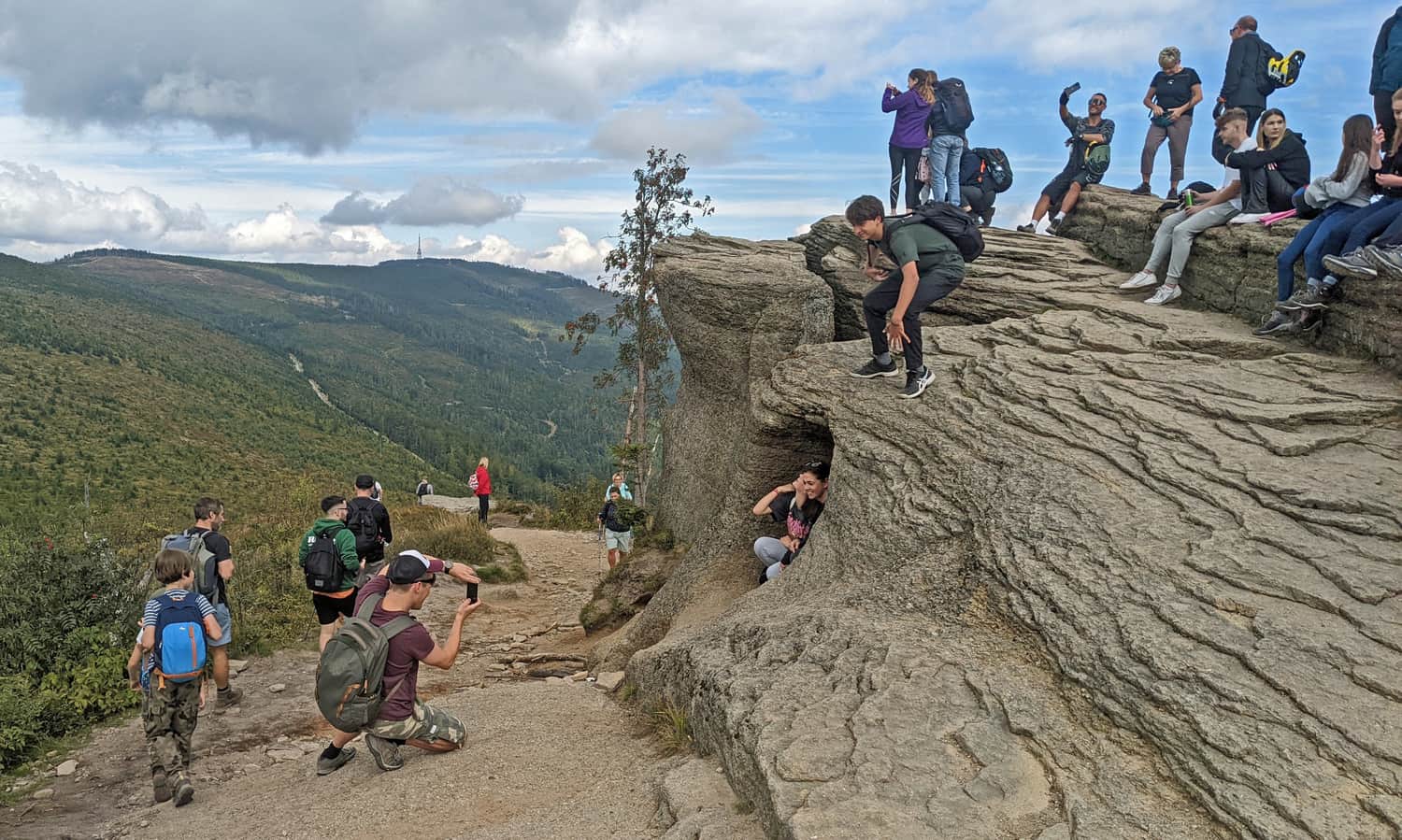
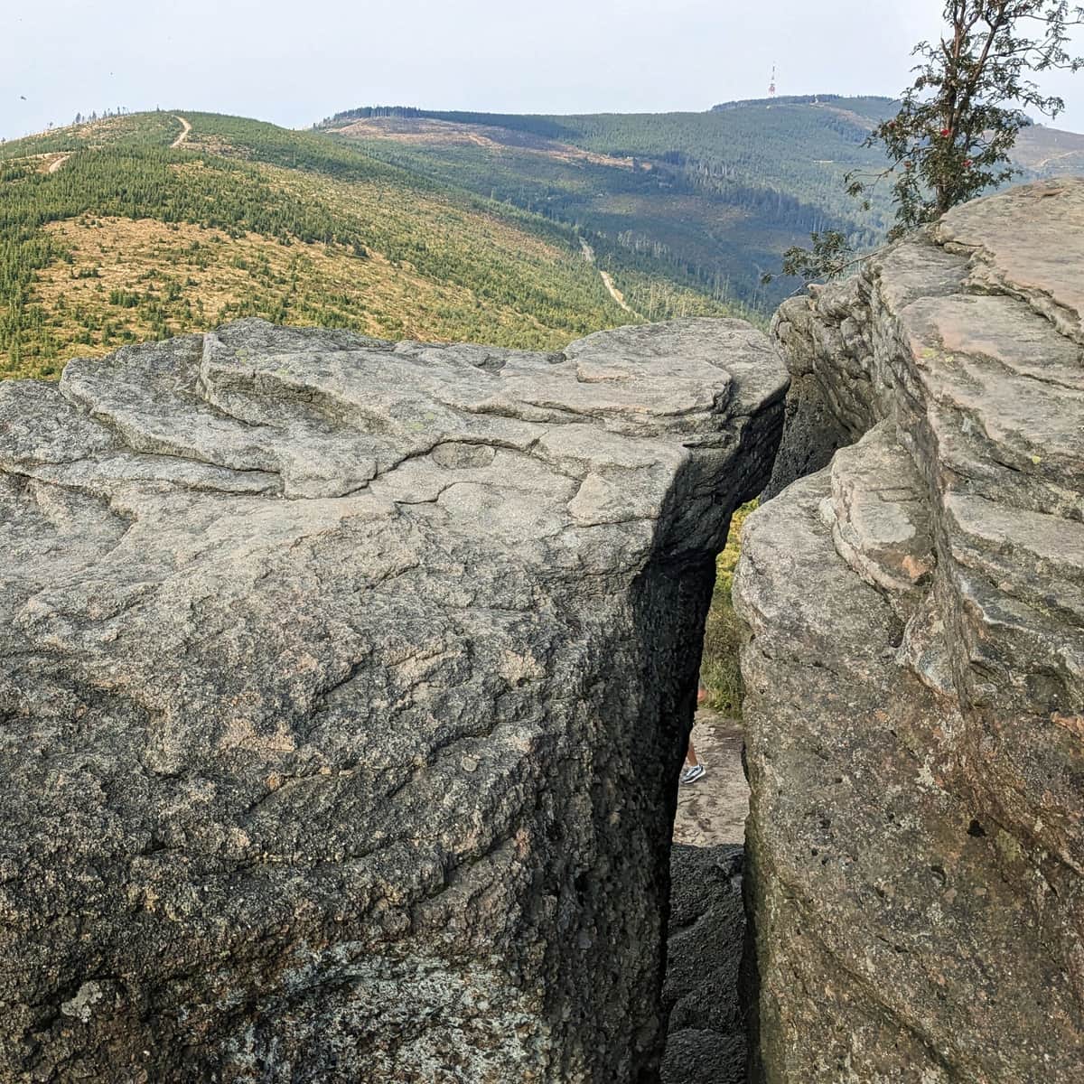
About an hour after leaving Skrzyczne, the first uphill climb awaits us: we conquer Malinowska Rock:
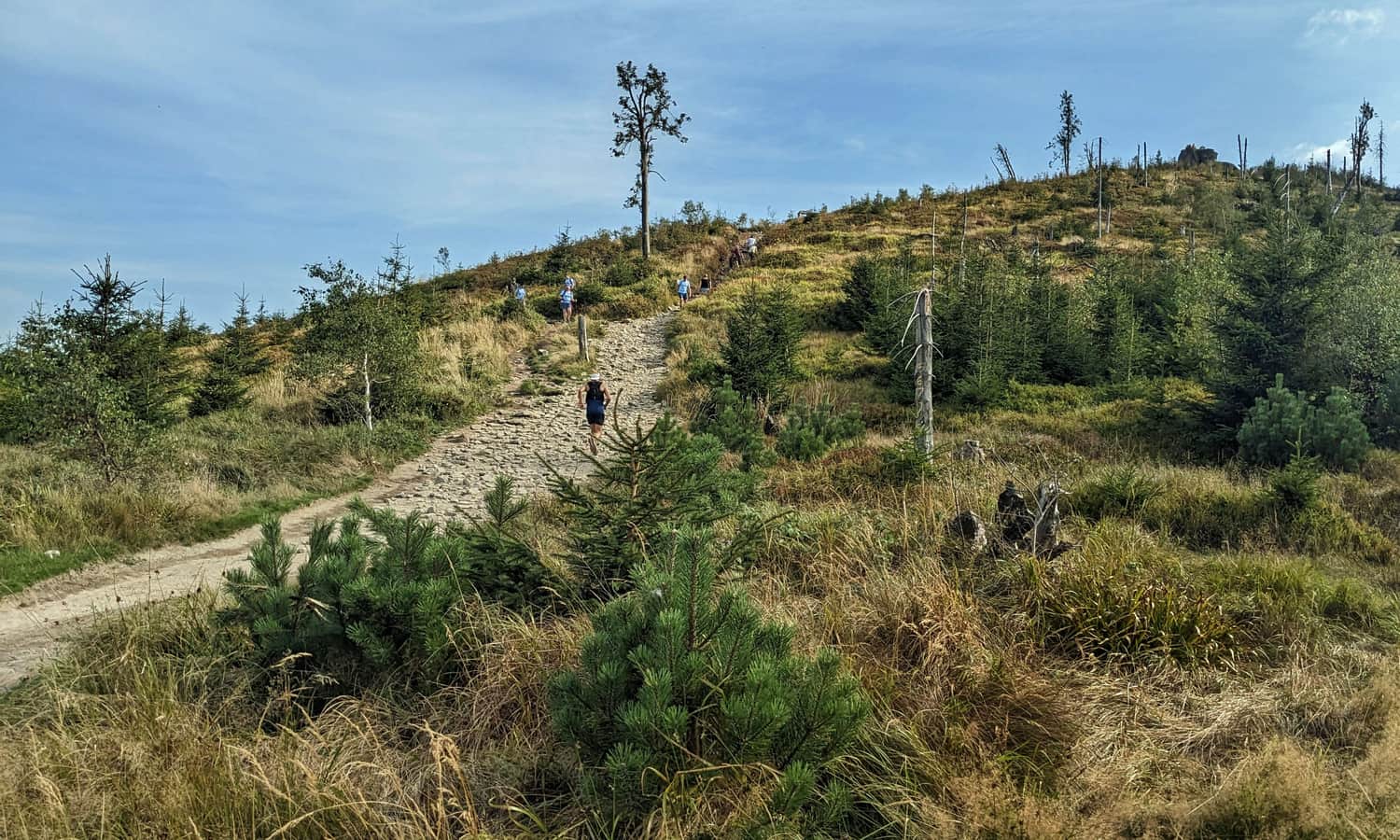
Malinowska Rock, 1152 m above sea level
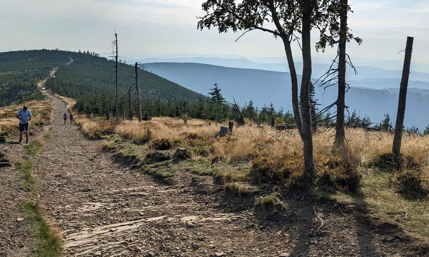
The famous rock outcrop marks about half of our ridge route. So far it has been mostly "downhill", but the steepest climbs are still ahead of us. Here's the route we've already covered:
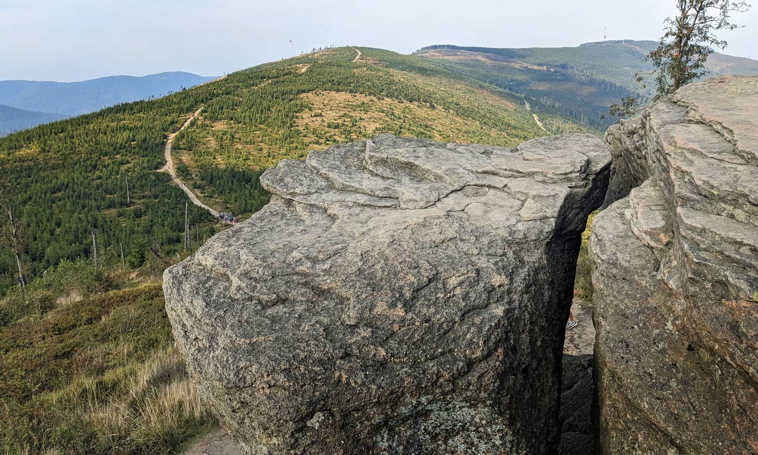
It's worth spending more time at Malinowska Rock, which is the destination of many tourists. Maybe we can wait for the right moment and take a nice picture?
You can find more interesting facts about Malinowska Rock here:
Malinowska Rock - facts, trivia and trails
Malinowska Rock (1152 m above sea level) is one of the most famous places in the Silesian Beskids. This incredibly picturesque rock outcrop has been captured in thousands of photos. Why is it so popular? How can you get there? Here's everything you need to know about Malinowska Rock! ...
From Malinowska Rock to Barania Góra
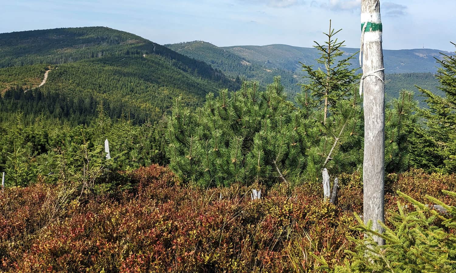
Initially from Malinowska Rock we go down again, we lose about 100 m in height, to immediately "recover" it by climbing to Zielony Kopiec, 1152 m above sea level. After Zielony Kopiec, another decrease and another climb awaits us - this time to Magurka Wiślańska.
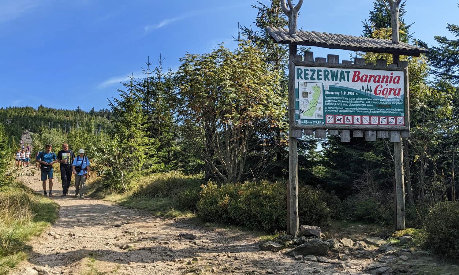
Barania Góra Reserve
Just before the summit of Magurka Wiślańska, we come across the signs of the Barania Góra Reserve, which protects natural upper mountain forests and the source areas of the Biała and Czarna Wisełka. On its territory, there is a ban on bringing dogs, but as long as we walk with a four-legged friend along its border (i.e. up to the very summit) we do not violate the regulations.
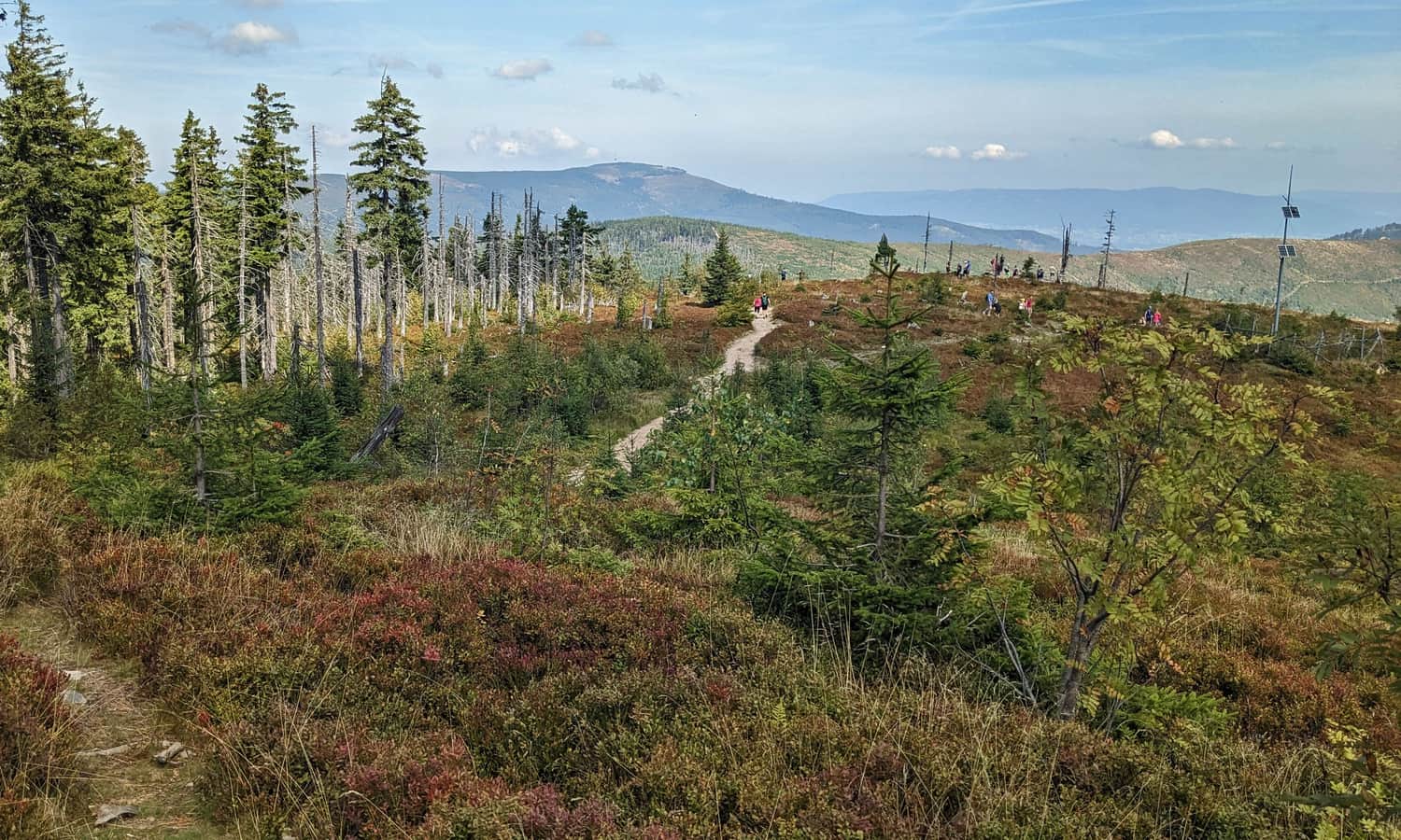
After joining the red trail from Węgierska Górka, the last section of the hike awaits us, but at the same time also its most difficult and steepest part: the climb to the summit of Barania Góra through sunny blueberry meadows.
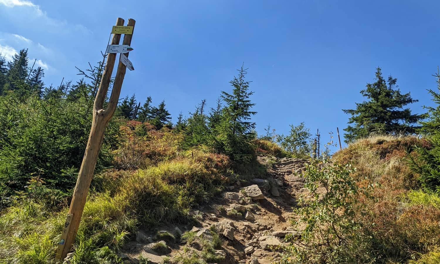
Barania Góra, 1215 m above sea level
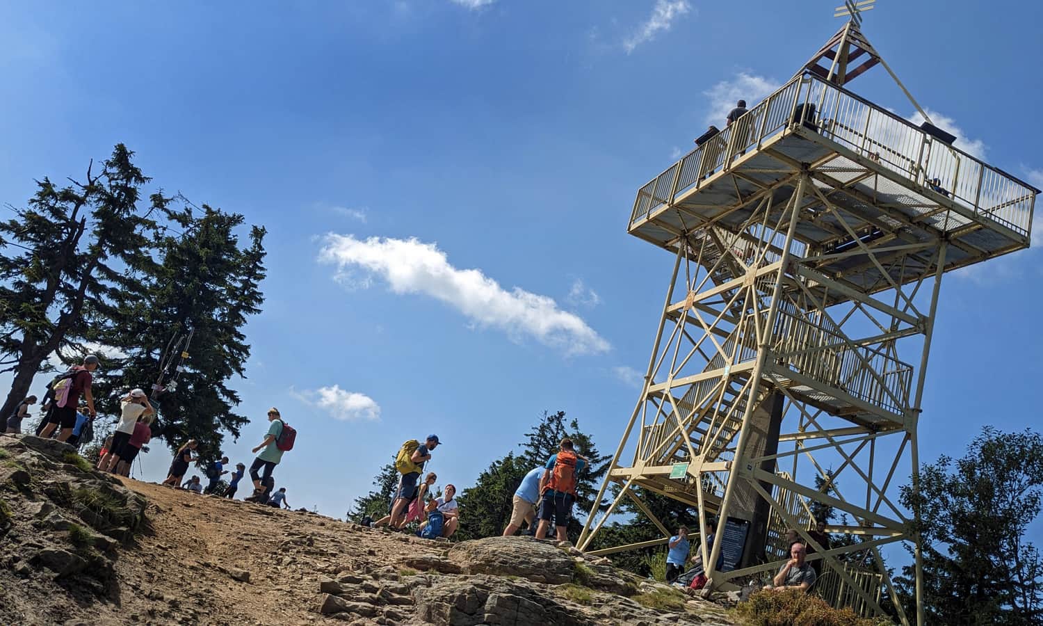
Beautiful views await us at the top of Barania Góra. Perhaps we have already got used to them during almost 10 km of our hike, but here we can sit down and enjoy them calmly. Can you see the mast on Skrzyczne, which is the beginning of our route?
An even wider panorama (also to the west) will be from the 15-meter observation tower:
You can read more about the summit of Barania Góra, views, attractions and other trails leading here:
Barania Góra - trails, tower, views and trivia
Barania Góra, 1215 m above sea level is the second highest peak of the Silesian Beskids. This is where the Queen of Polish Rivers - the Vistula has its source. What should you know about Barania Góra? What trails lead to the summit and which one to choose? ...
Back to Skrzyczne
The return journey along the same route will take us another 3.5 hours. (again we will be going down and up the hill). If we plan to take the cable car from Skrzyczne, it is worth checking in advance what time the last ride is planned!

Publish Date:
Last Updated:
More in the Region Beskid Śląski (Silesian Beskid)


