
Hala and Magurka Radziechowska from Węgierska Górka
Nearby: Bielsko-Biała| Distance | 9.2km |
|---|---|
| Time | 4h 20min |
| Ascents | 817m |
| Descents | 130m |
beach_access Route in the shade
directions_car Access by car
directions_bus Can be reached by bus
train Access by train possible
The red trail from Węgierska Górka to Magurka Radziechowska is a long forest path with a beautiful view at Hala Radziechowska along the way and interesting rock formations near the top.
Start of the Red Trail to Magurka Radziechowska in Węgierska Górka
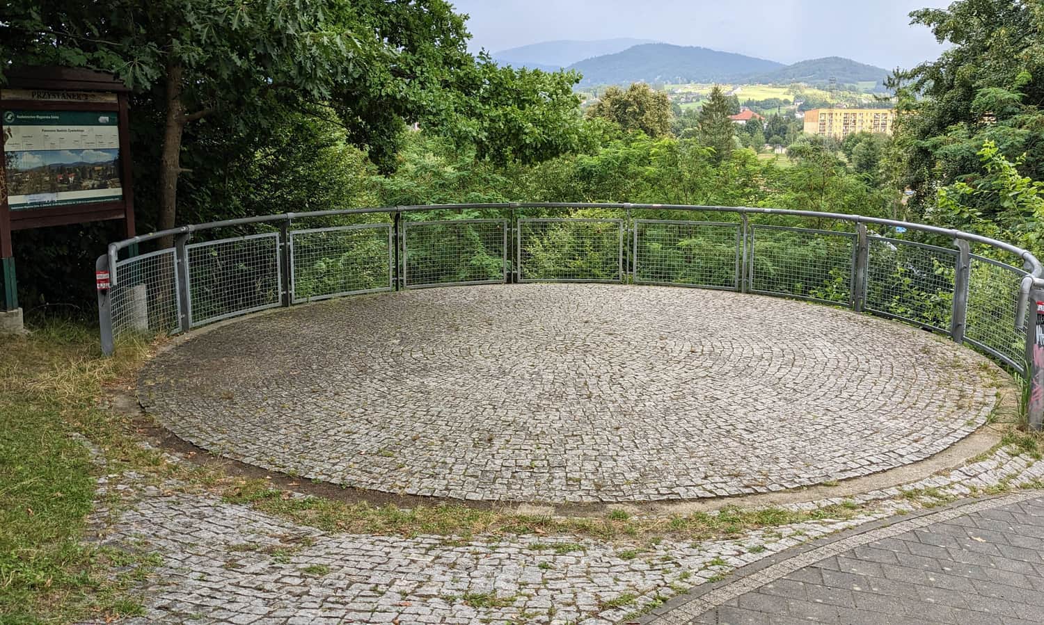
The red trail goes through the center of Węgierska Górka. You can find it near the train station and the main road (bus stops). By car, you can drive closer to the Soła Valley and look for parking near the park by the river and the pool complex.
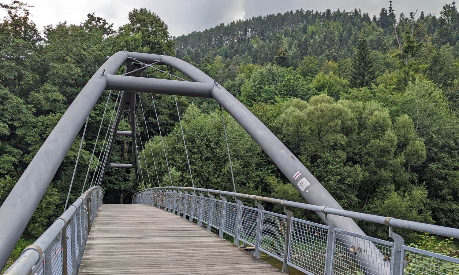
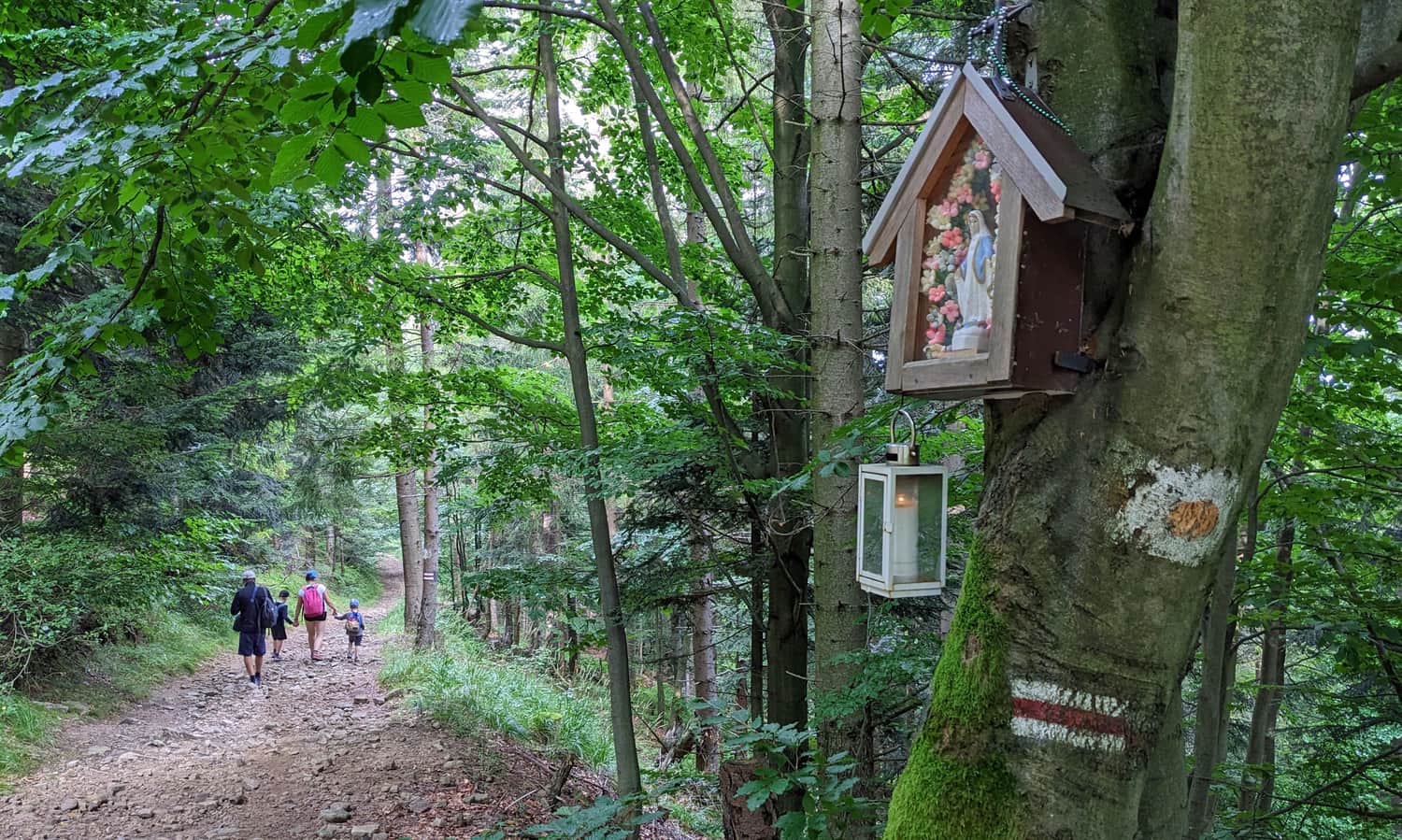
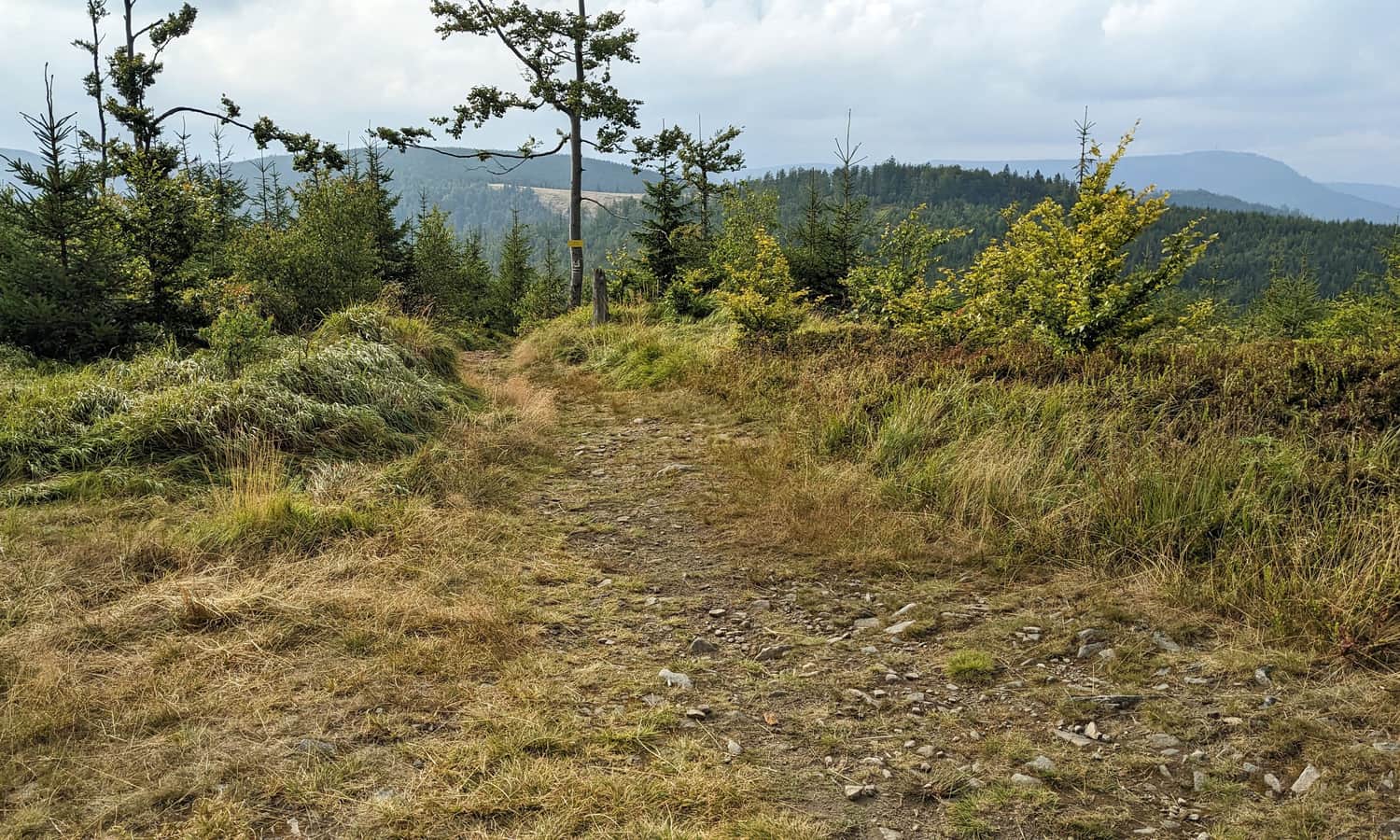
After crossing the bridge over Soła, you reach a small viewpoint to the east. Soon, you will enter the forest, which will be with you for the next 5 km (about 2 hours) until you reach the top of Glinne.
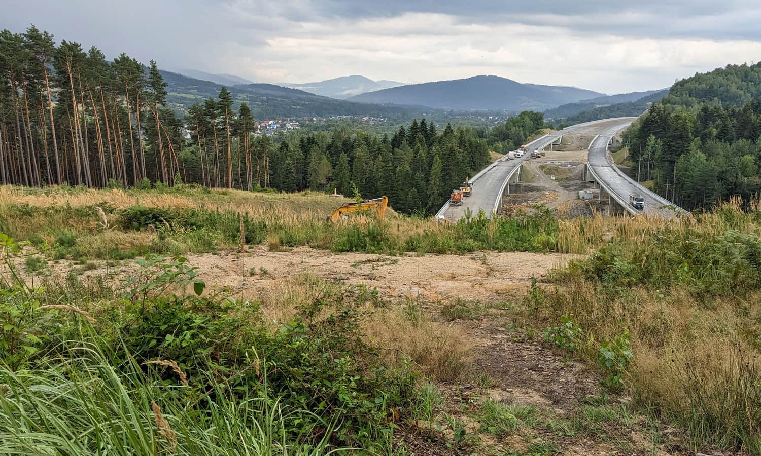
Construction of the S1 Route near the Red Trail in Węgierska Górka
Information boards warn about difficulties due to the construction of the S1 route. Honestly, we didn't encounter any major issues, just an interesting view:
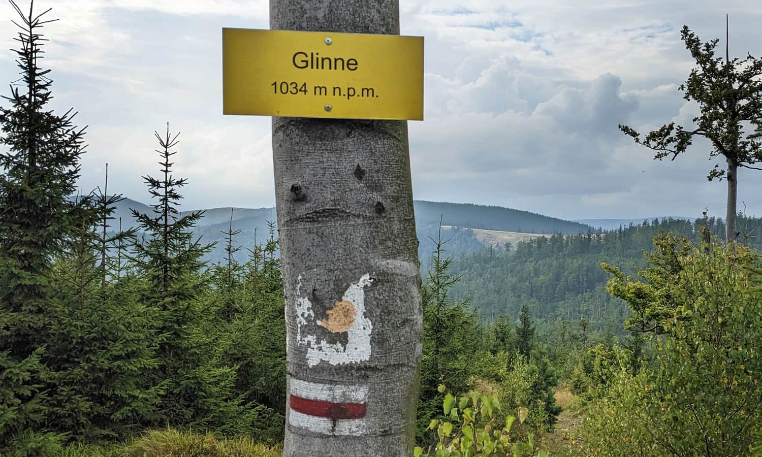
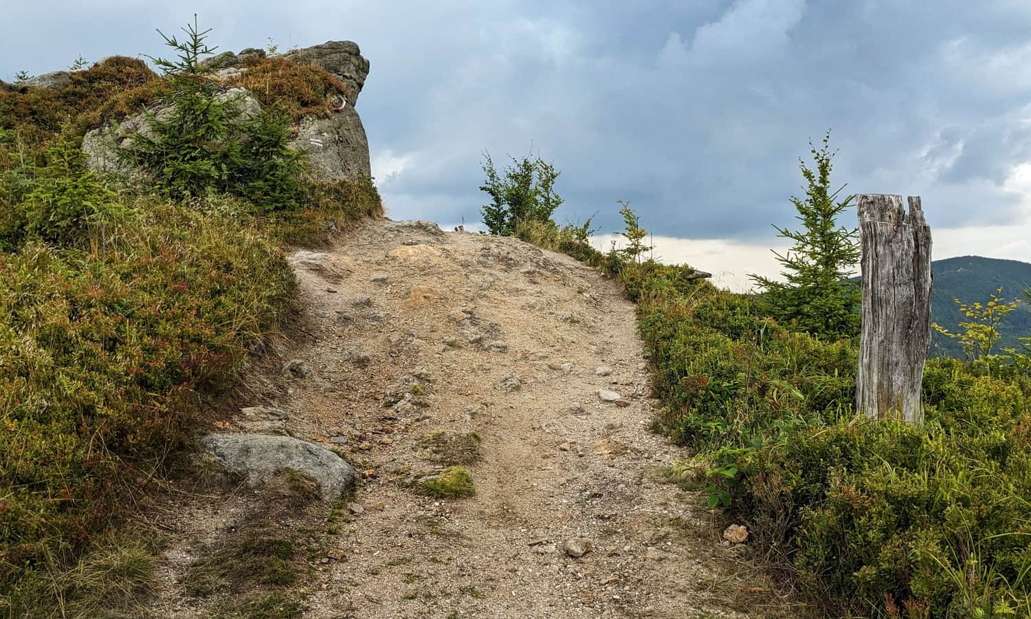
Climbing Glinne, 1034 meters above sea level
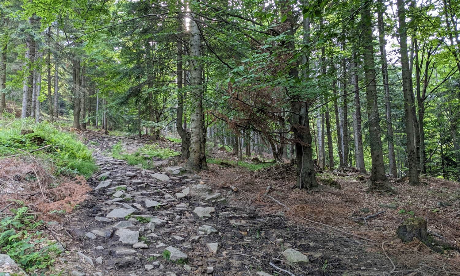
The climb to the top of Glinne is about 5 km of forest road: sometimes less steep, sometimes more.
Once you reach the partly overgrown summit, you will find the first "view window" to the north and northwest, including Hala Radziechowska, which you will soon reach:
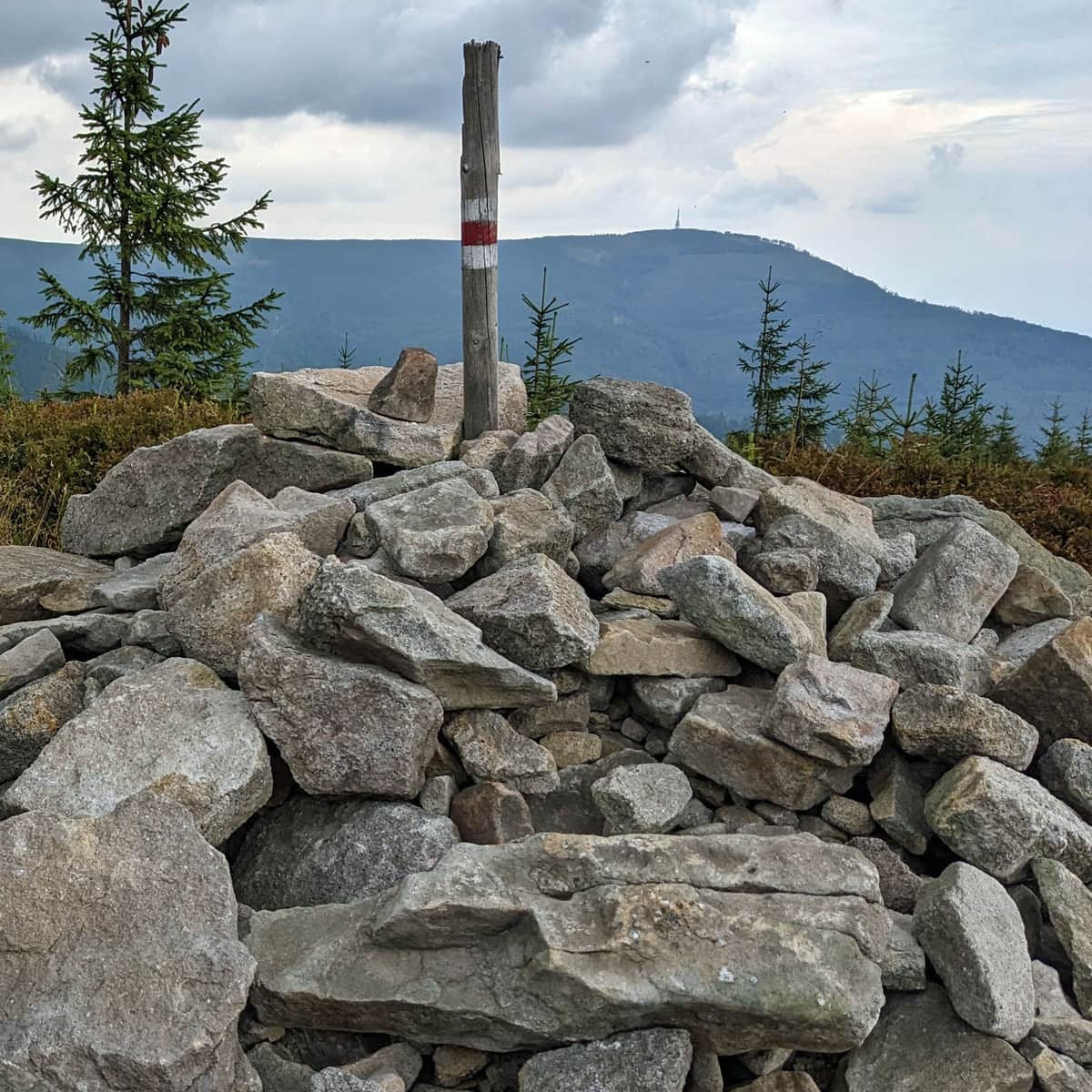
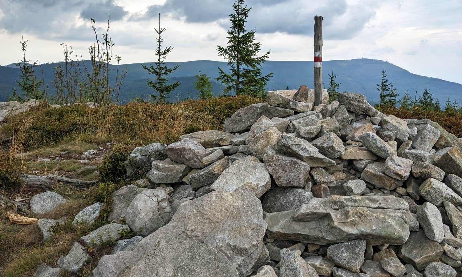
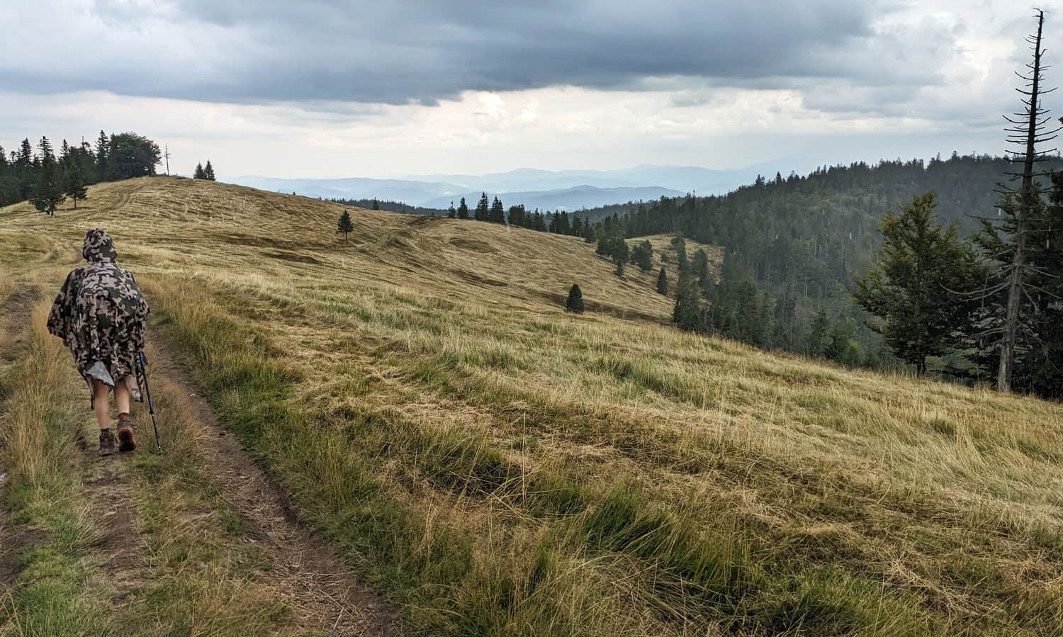
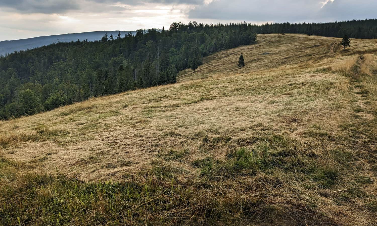
Hala Radziechowska and the Summit of Magurka Radziechowska, 1108 meters above sea level
After descending from the top of Glinne, you gently rise to the vast meadows of Hala Radziechowska. From here, the panoramas are very wide and almost "all-around." Unfortunately, we were caught by rain here, and the clouds spoiled the view a bit... No worries, we will definitely come back!
After approaching the summit with the "Magurka Radziechowska" sign and the trail junction (the green trail from Lipowa Ostra also arrives here), be sure to go a bit further on the red trail (about 10 minutes) towards the beautiful rock formations - it's really worth it!
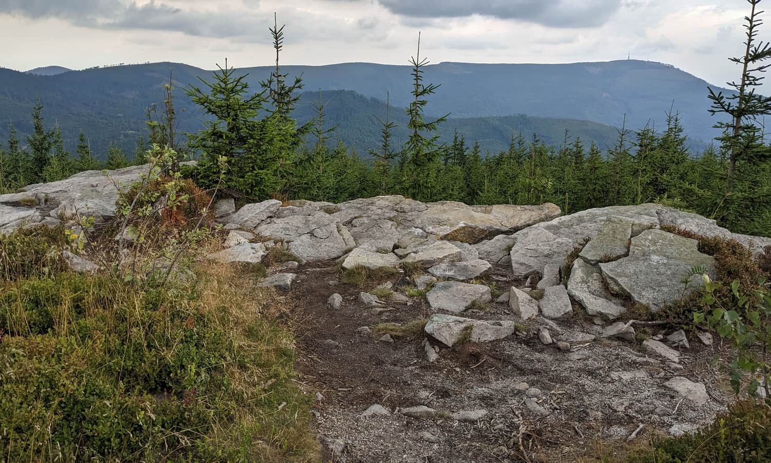
Read more about the rocks on Magurka Radziechowska and the trails leading to them here:
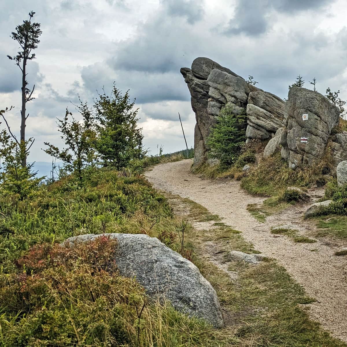
How to reach the rocks on Magurka Radziechowska?
The scenic rock formations on Magurka Radziechowska are one of the most beautiful and picturesque places in the Silesian Beskids. Which trail should you take to reach the rocks on Magurka Radziechowska and what views await you here? ...
...Magurka Radziechowska and What Next?
From Magurka Radziechowska, you can go back down to the center of Węgierska Górka (going down the red trail takes about 2.5 hours).
You can also walk another 2 km / about 40 minutes along the scenic ridge to Magurka Wiślańska and from there head either right towards Malinowska Skała (+6 km, about 2 hours) and Skrzyczne (+10 km, 3 hours), or left to the scenic summit of Barania Góra (+4 km, about 1.5 hours).

More in the Region Beskid Śląski (Silesian Beskid)


