
How to reach the rocks on Magurka Radziechowska?
Town: Węgierska Górka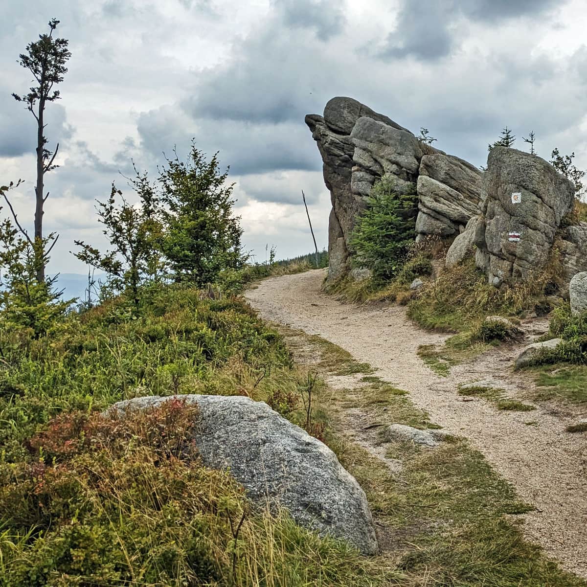
check_circle Slopes
check_circle Mainly in the sun
The scenic rock formations on Magurka Radziechowska are one of the most beautiful and picturesque places in the Silesian Beskids. Which trail should you take to reach the rocks on Magurka Radziechowska and what views await you here?
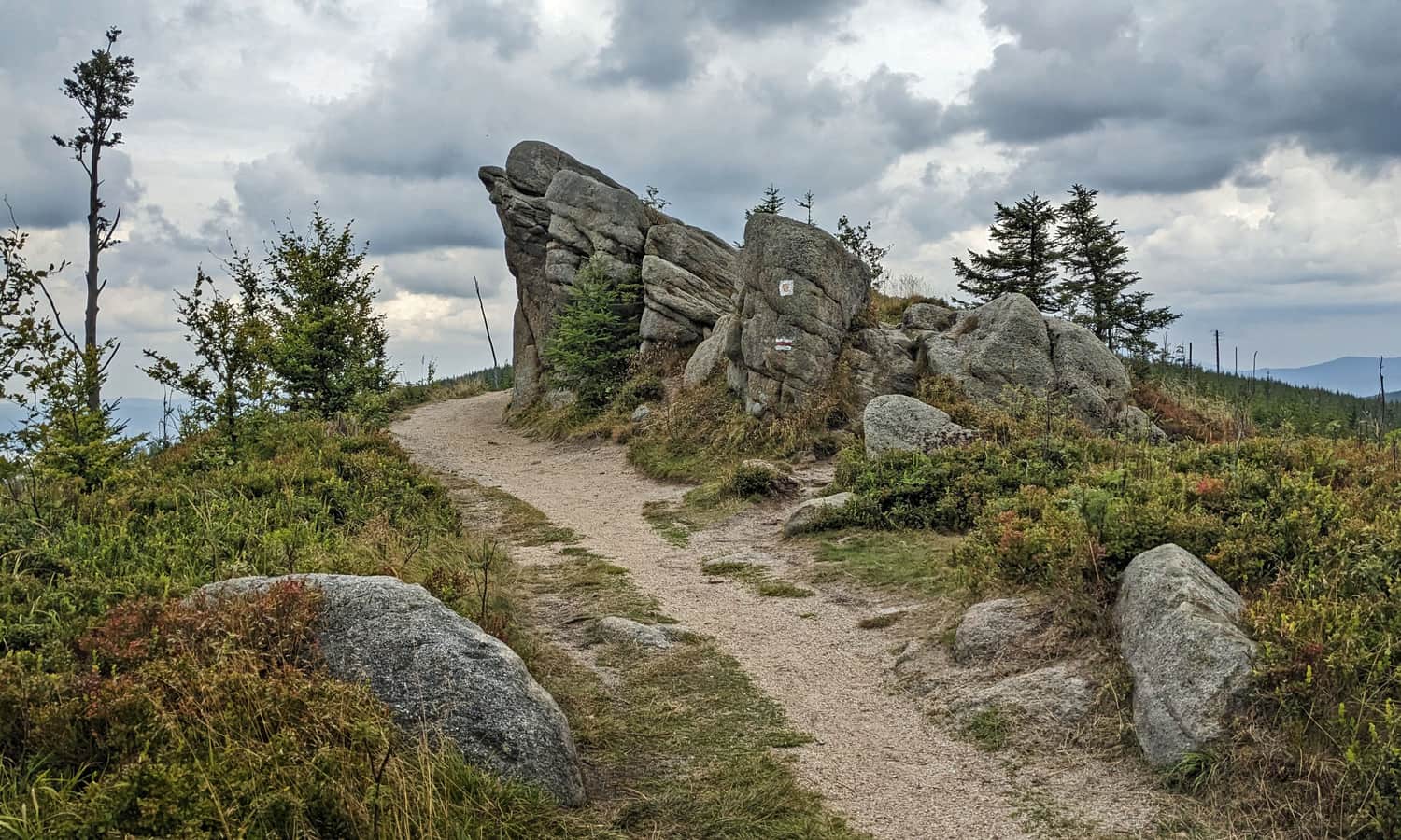
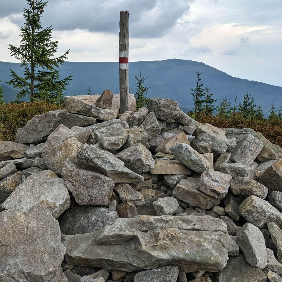
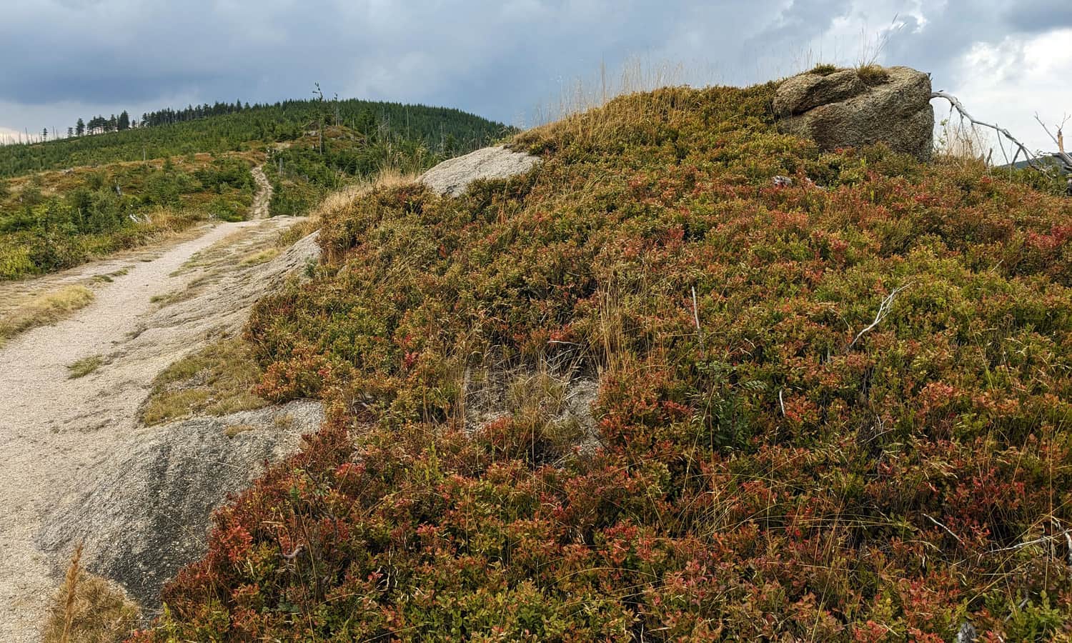
Rocks on Magurka Radziechowska
Near the famous and supposedly most photogenic Malinowska Rock, in the same Wisła Range, just under 6 km away, or about a 1.5-2 hour walk along the ridge, there is a beautiful group of rock formations on Magurka Radziechowska. Is it more beautiful and interesting than the celebrity rock? You decide:
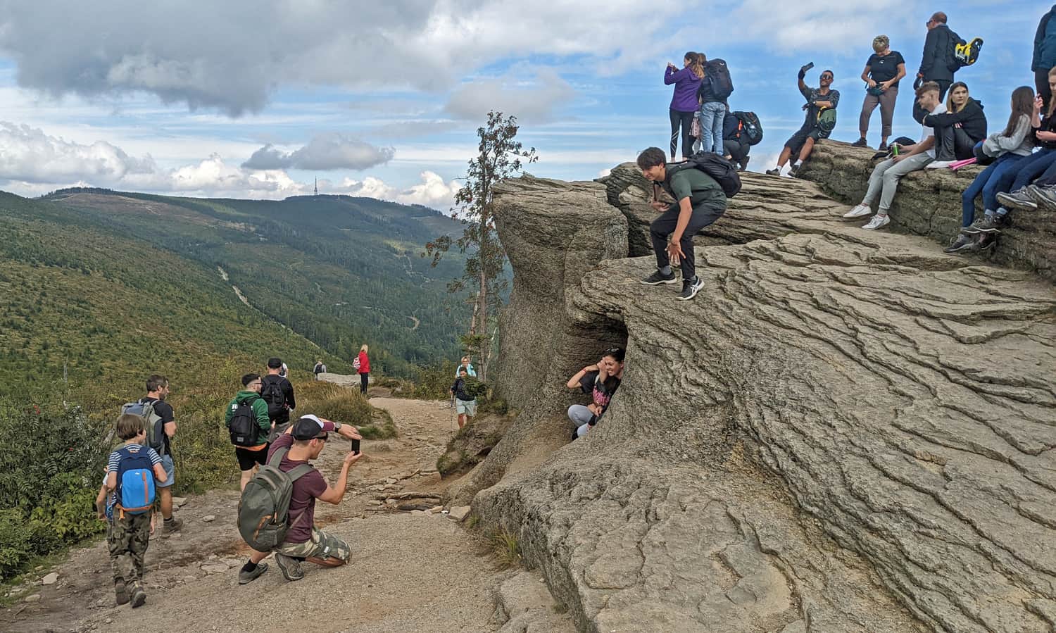
One thing is certain - you will never encounter the crowds and photo queues here like at Malinowska Rock!
How to reach the rocks on Magurka Radziechowska?
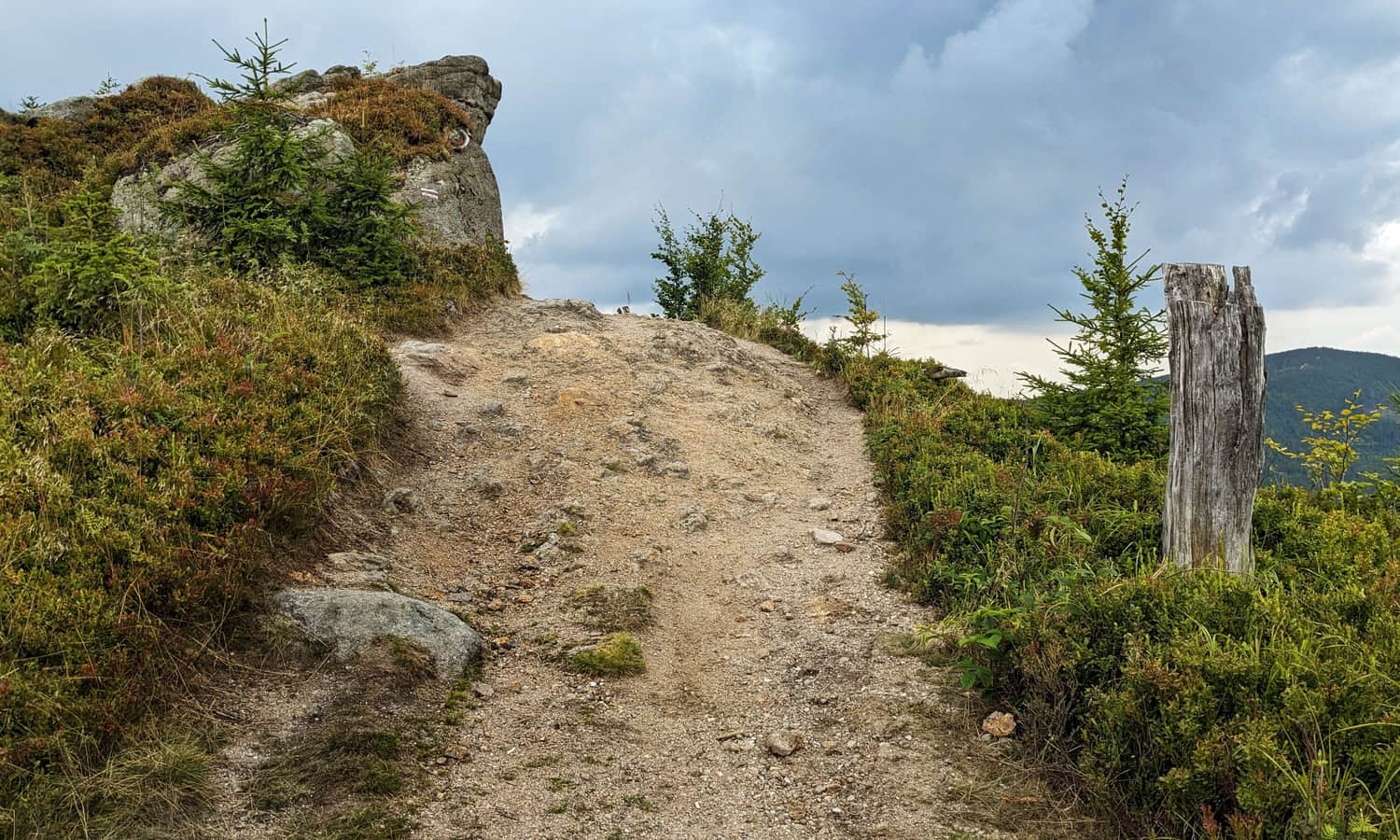
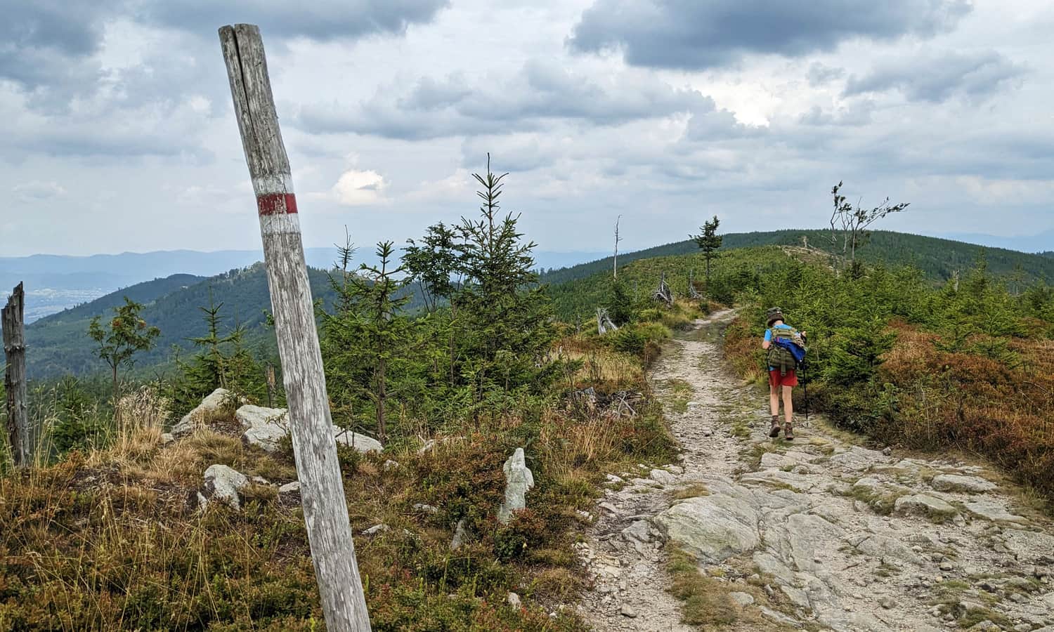
At the foot of the rocks passes the long-distance red Main Beskid Trail. You can reach here from Barania Góra (4 km, about 1:15 hours) or from Węgierska Górka (10 km, about 3:45 hours).
Here is a comparison of several different trails, routes, and possible loops to the rocks on Magurka Radziechowska:
- Red trail from the PTTK shelter at Przysłop under Barania Góra: 6 km, 350 m elevation difference, about 2 hours one way.
- Green trail from Lipowa Ostre + red section: 7 km, 625 m elevation difference, about 2:50 hours one way (can be combined in a loop with the yellow trail, total: 19 km, 900 m elevation difference, about 6 hours).
- Yellow trail from Lipowa Ostre through Malinowska Rock and Magurka Wiślańska: 12 km, 820 m elevation difference, about 4:20 hours one way (can be combined in a loop with the green trail, total: 19 km, 900 m elevation difference, about 6 hours).
- Blue trail from the village of Radziechowy + red section: 8 km, 640 m elevation difference, about 3 hours one way.
- From Salmopol Pass / Biały Krzyż: red + green + red trail: 8 km, 520 m elevation difference, about 2:50 hours one way.
- From Wisła Czarne via the yellow trail through Cieńków + green to Magurka Wiślańska + red: 10 km, 650 m elevation difference, about 3:30 hours one way (can be combined in a loop with the blue trail, total: 20 km, 890 m elevation difference, about 6:30 hours).
- From Wisła Czarne via the blue trail through the Biała Wisełka Valley + red: 10 km, 710 m elevation difference, about 3:45 hours one way (can be combined in a loop with the yellow trail, total: 20 km, 890 m elevation difference, about 6:30 hours).
- Red trail from Węgierska Górka: 10 km, 800 m elevation difference, about 3:45 hours one way.
Medium
Hala and Magurka Radziechowska from Węgierska Górka


Publish Date:
Last Updated:
More in the Region Beskid Śląski (Silesian Beskid)


