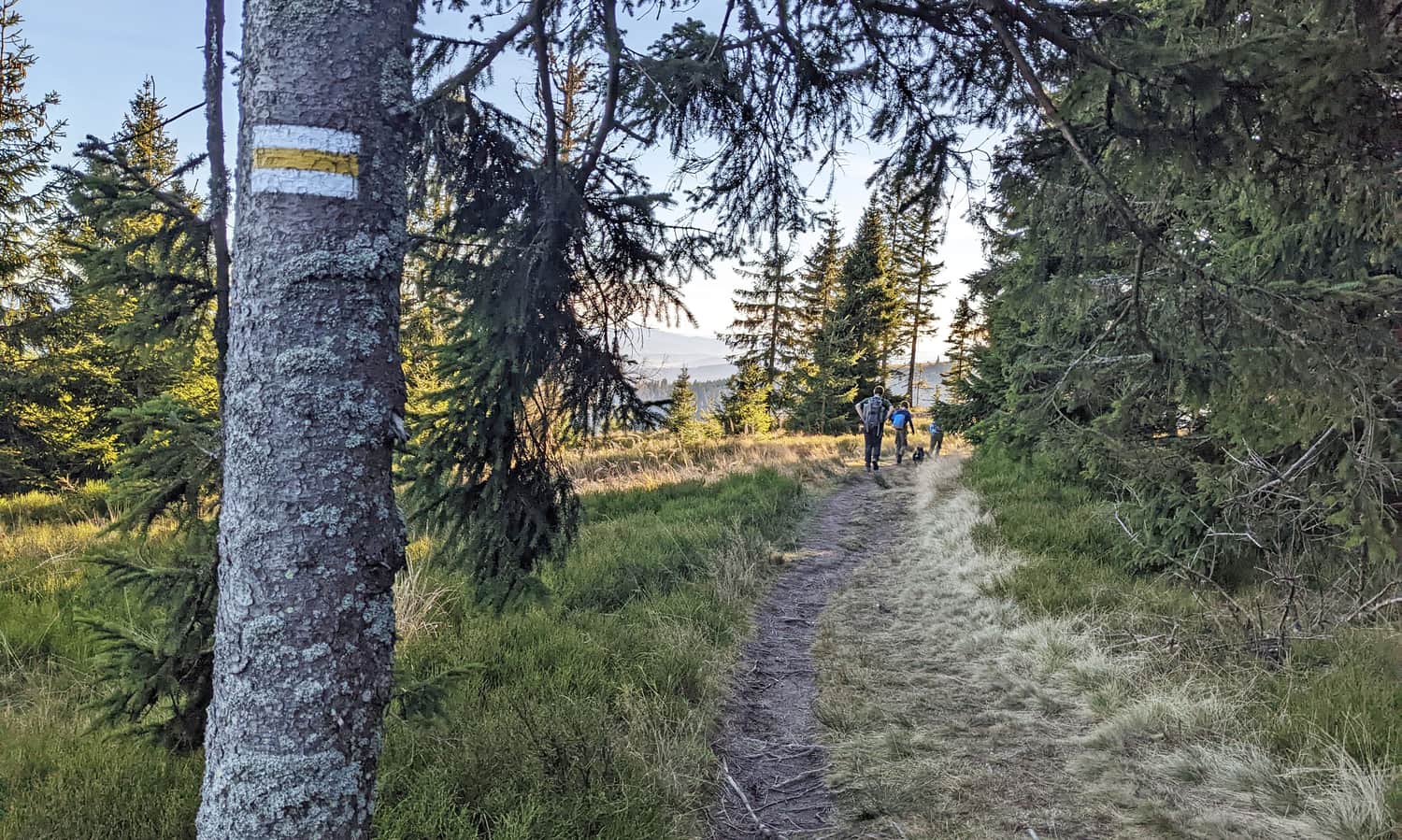
From Rysianka to Romanka - yellow trail
Nearby: Żywiecbeach_access Route in the shade
restaurant Restaurant or bar nearby
wc Toilet along the route
warning No dogs allowed
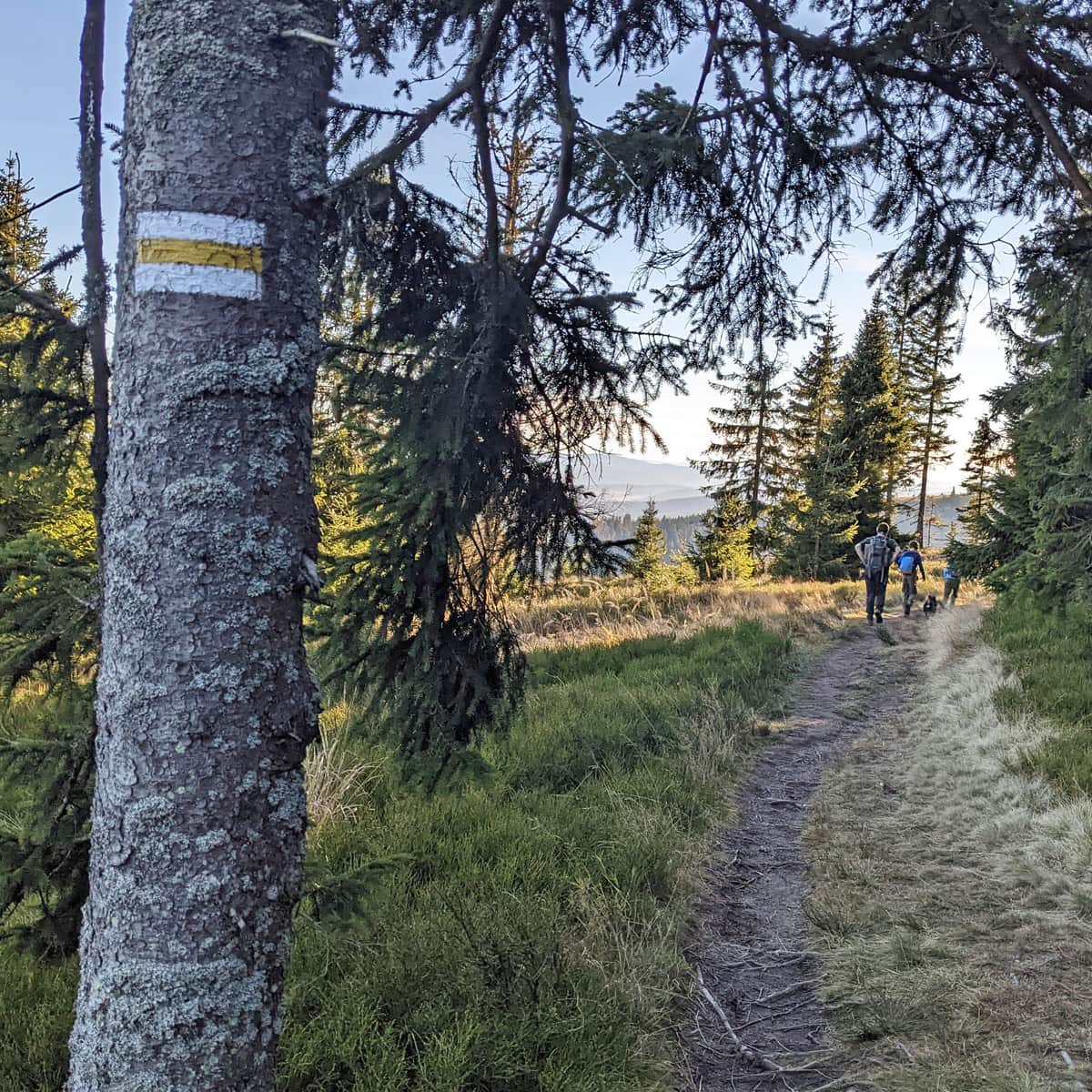
The section of the yellow trail from Rysianka to Romanka may not offer as wide panoramas as the scenic walk between Lipowska and Redykalna, but it is beautiful here too! Above all, it's worth taking this route to conquer the highest peak of this mountain group.
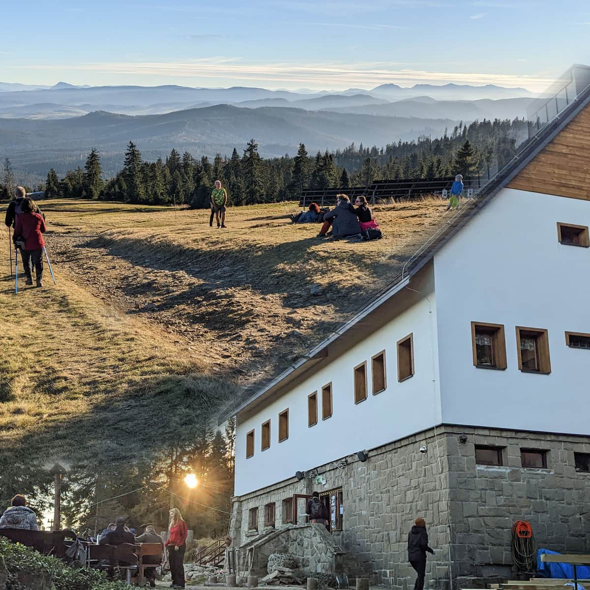
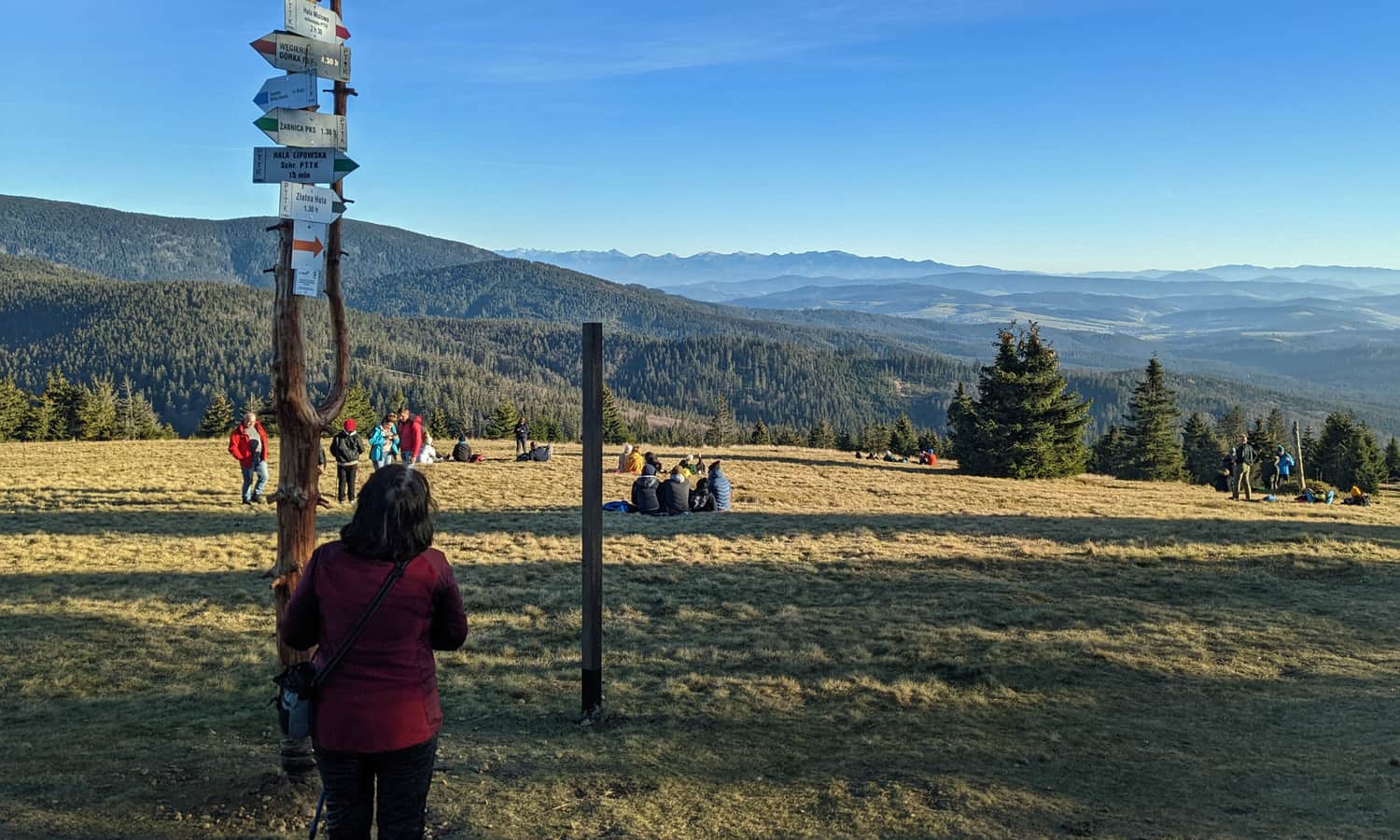
Rysianka, 1224 m above sea level.
To embark on the journey from Rysianka to Romanka, we first need to reach Rysianka. We can choose from the green trail from Żabnica (about 6.5 km, almost 700 m elevation gain, about 2:45 hours), the blue trail from Sopotnia Wielka (about 4.5 km, 500 m elevation gain, about 2 hours), the yellow trail from Rajcza (13.5 km, just under 700 m elevation gain, 5 hours), the blue trail from the center of Złatna (about 10 km, 750 m elevation gains, 3:45 hours), or the black trail from Złatna Huta (4.3 km, just over 500 m elevation gains, about 2 hours).
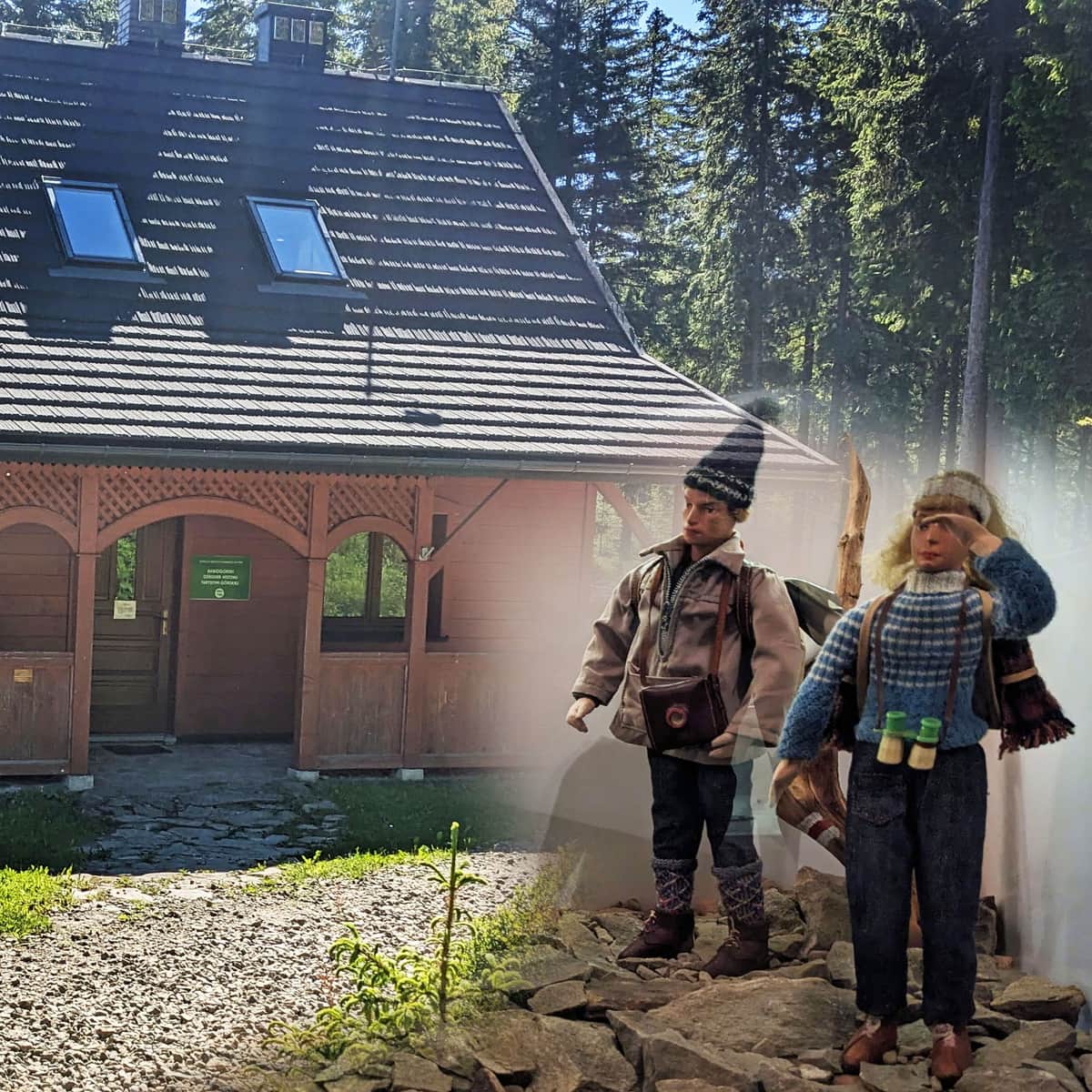
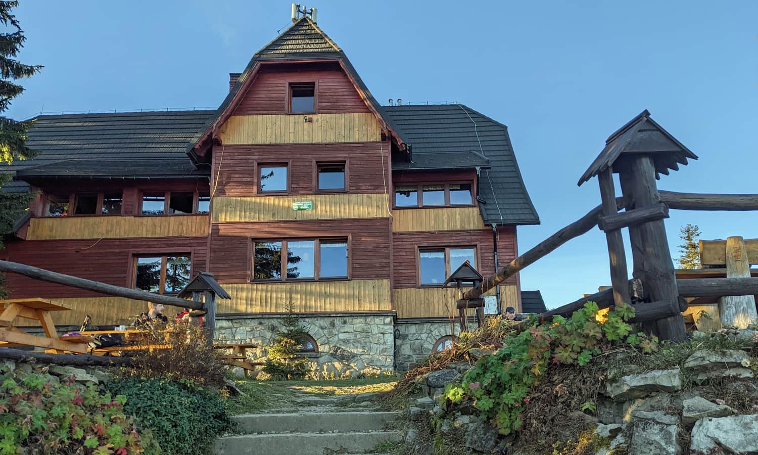
However you get here, there is a charming pre-war shelter and a beautiful, scenic meadow:
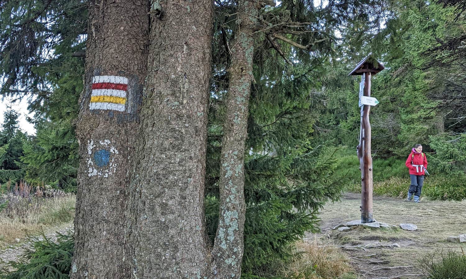
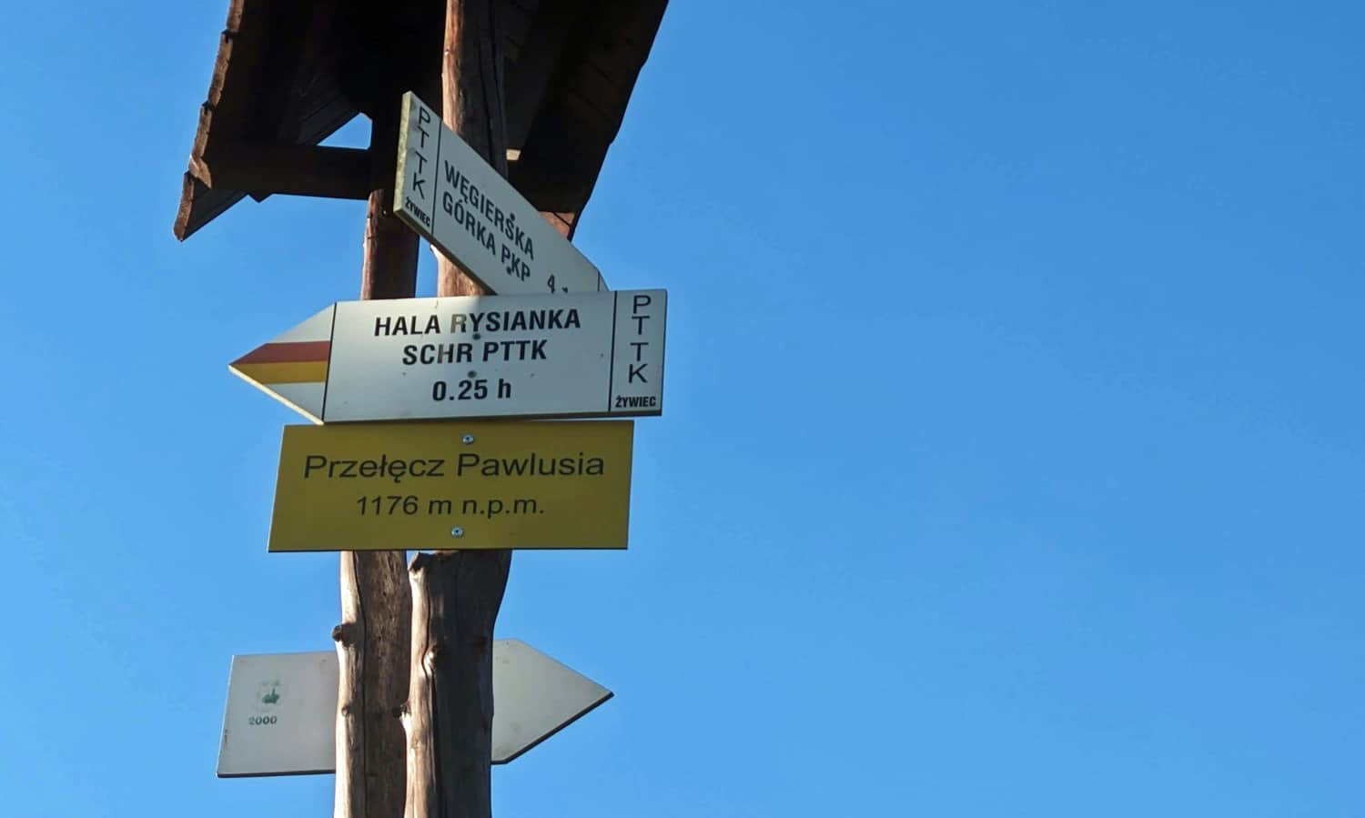
Rysianka - Pawlusia Pass
The first stage of the journey is the descent from Rysianka to the Pawlusia Pass. Here, the green trail departs from the yellow and red signs:
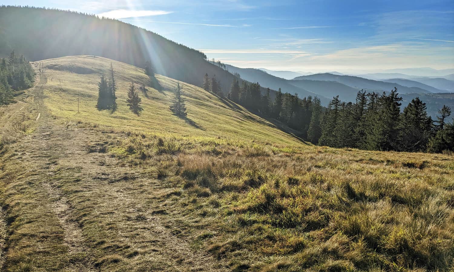
Scenic Pawlusia Meadow
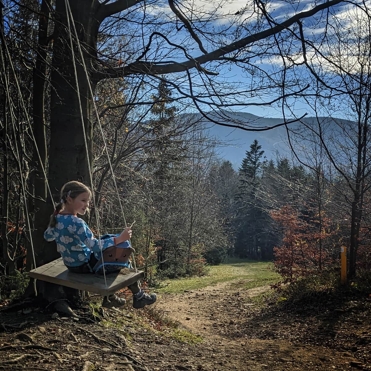
Just past the pass, we reach the extensive, "humpy" and empty (especially compared to the crowds on Rysianka) Pawlusia Meadow with a beautiful view to the west.
Martoszka 1189 - red trail and Łyśniowska Meadow
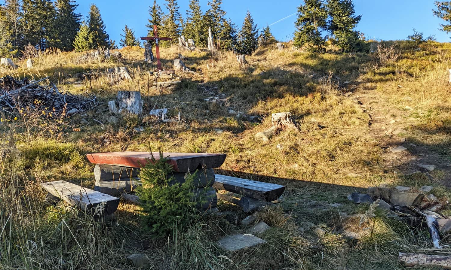
After Pawlusia Meadow, we reach the second (!) Pawlusia Pass. This time, the red trail departs from us, which does not lead to the summit of Romanka, but traverses its steep western slopes.
The yellow signs, meanwhile, continue to climb to the southern summit of Romanka, Martoszka. Don't expect a separate sign here. But there is a table, benches, and a cross.
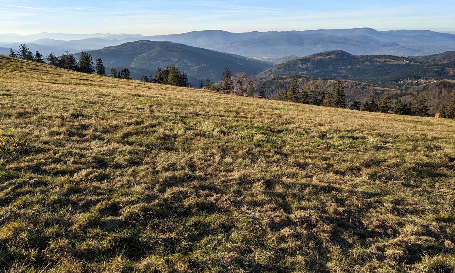
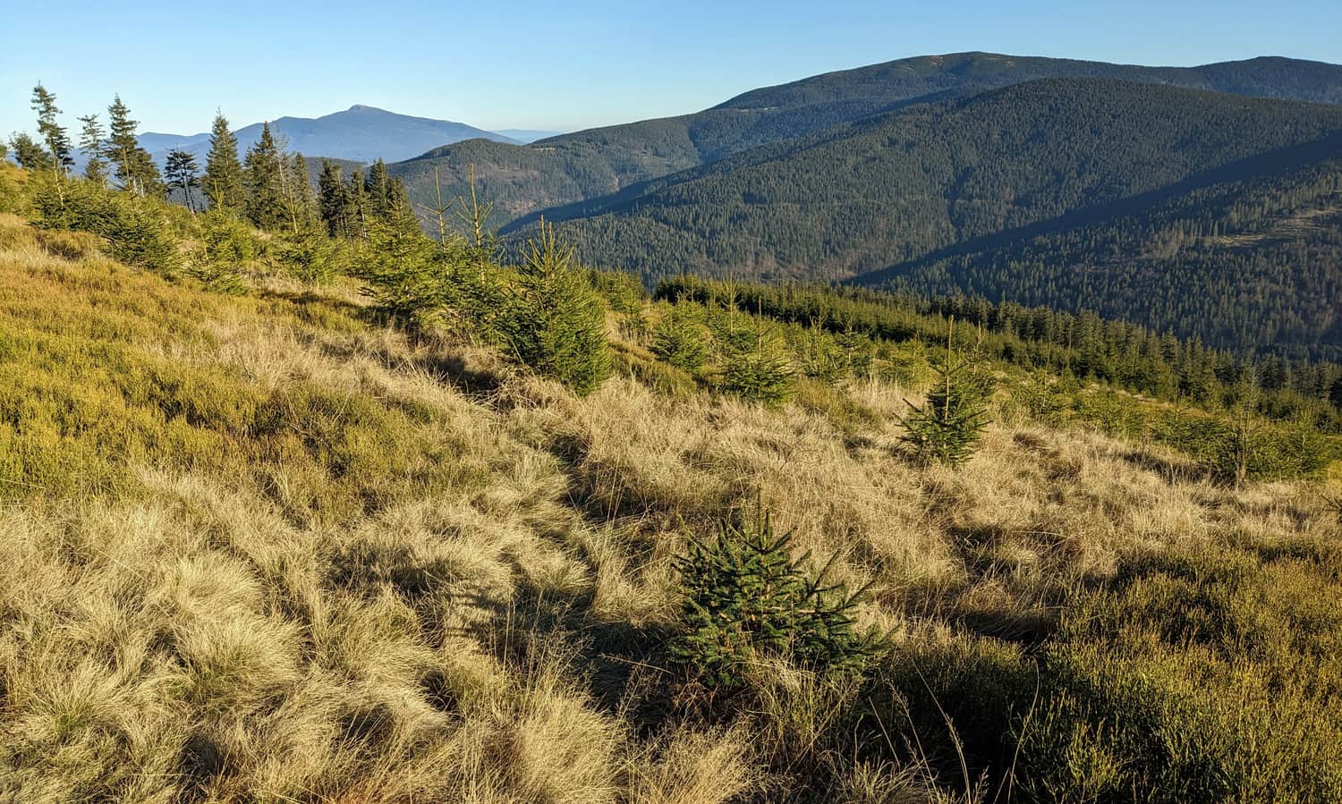
The overgrown meadow on Martoszka, known as Łyśniowska Meadow, opens up views to the east. From here we can see the forested slopes of Pilsko and the Babia Góra peeking out from behind it.
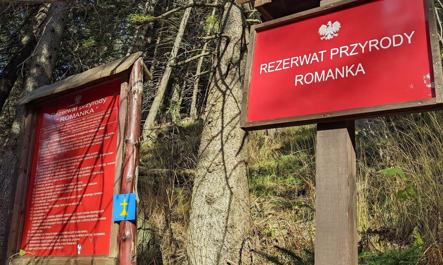
Romanka Reserve and climb to Romanka on the yellow trail
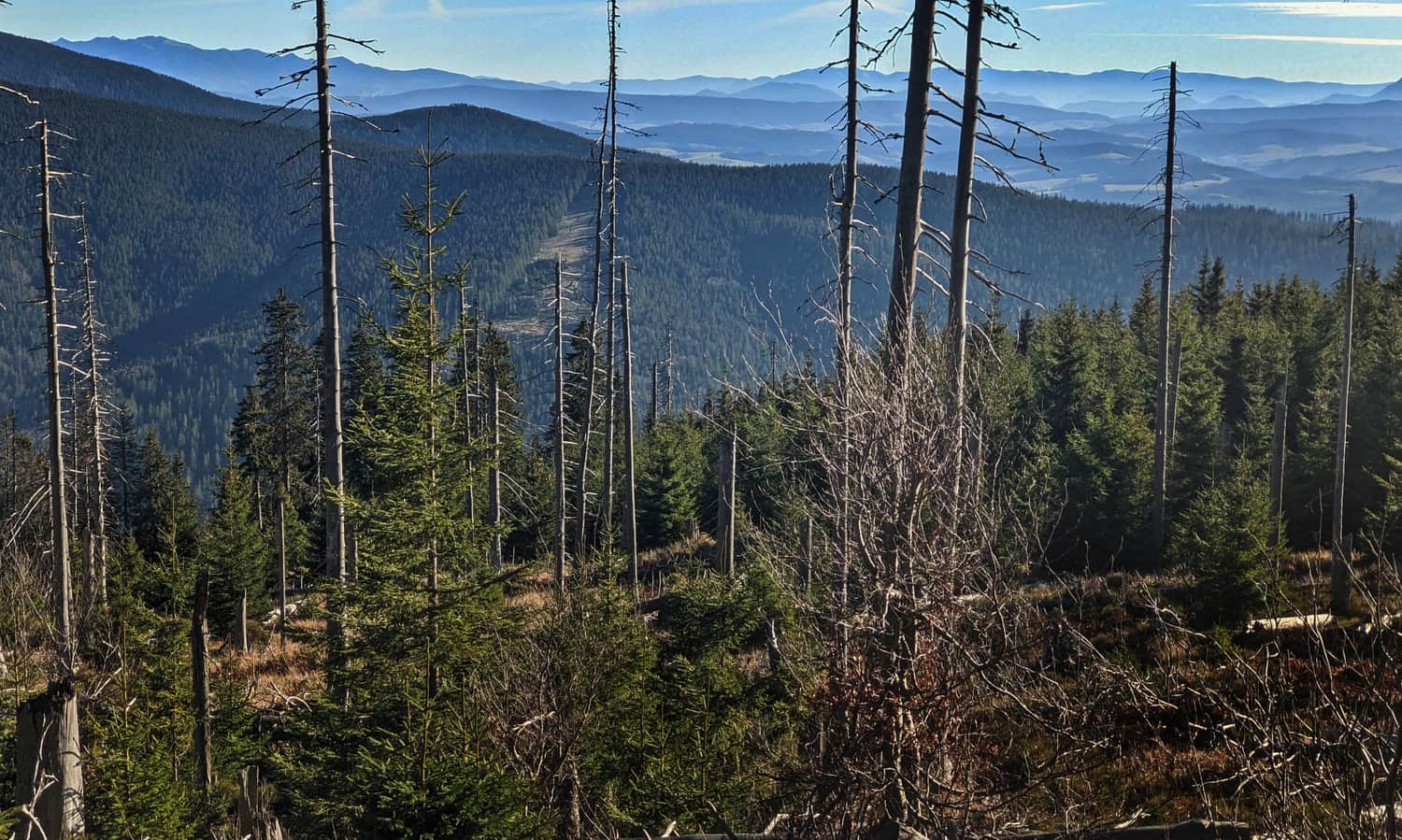
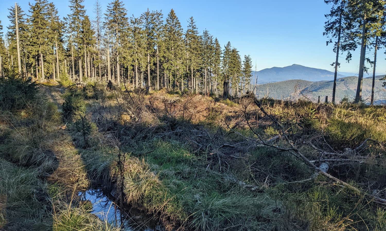
The last section of the climb to Romanka is a path through the forest, or along its edge. From time to time, a small window will open up to the east and southeast.
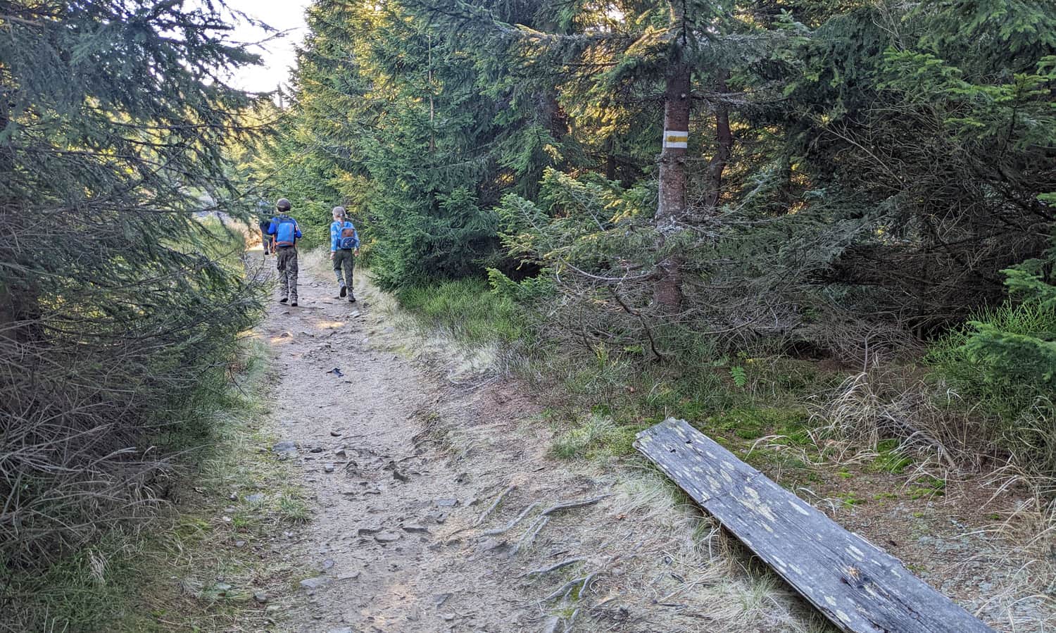
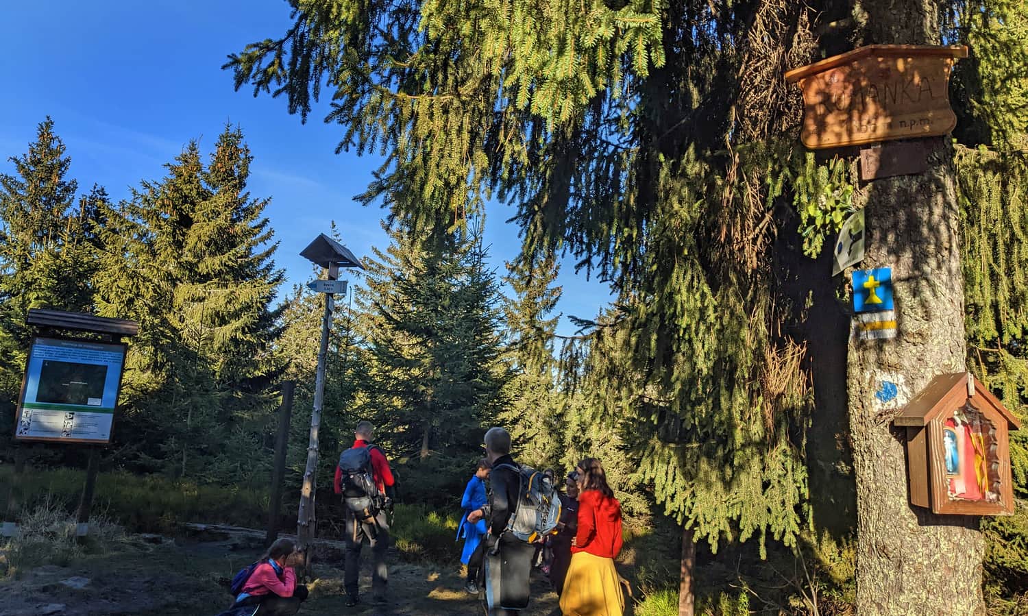
Here we also enter the Romanka Reserve, which means we can't, for example, leave the marked trail. There's also a ban on bringing dogs.
Romanka, 1366 m above sea level - peak and views
Before we reach the fully forested peak of Romanka, it's worth enjoying the views that reveal themselves before we reach our destination. The Western Tatras peek out from behind Pilsko, and behind them are the Slovak Low Tatras.