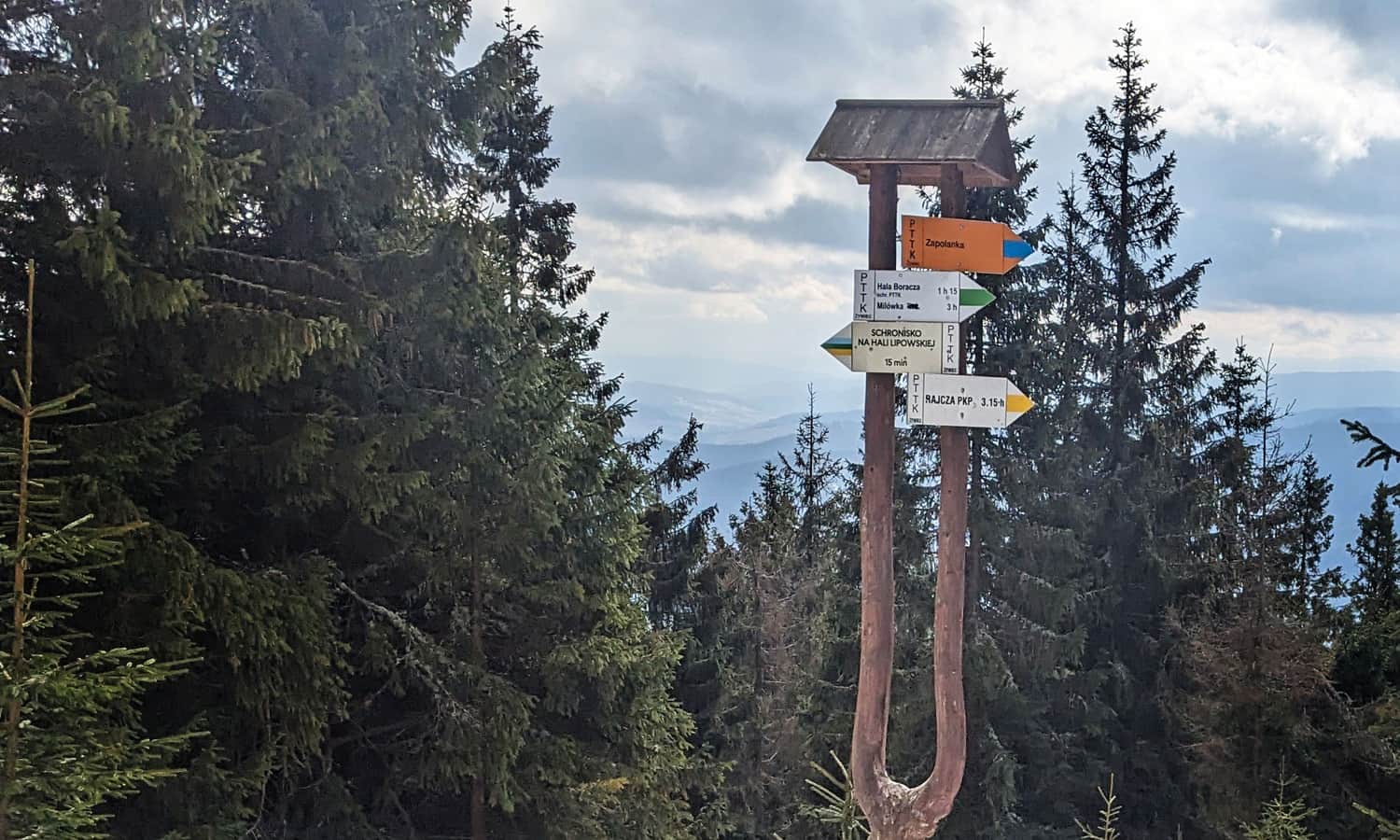
From Rajcza through Zapolanka to Redykalny Wierch, Lipowska and Rysianka
Nearby: Żywiecbeach_access Route in the shade
restaurant Restaurant or bar nearby
directions_car Access by car
directions_bus Can be reached by bus
train Access by train possible
wc Toilet along the route
baby_changing_station Baby changing facilities along the route
The yellow trail leading from Rajcza to the scenic Hala Redykalnego, Lipowski Wierch and Rysianka (and even to the top of Romanka) is not as popular as the classic loop from Żabnica, but it offers equally beautiful views and a bit more peace along the way. You can reach the start of the trail by train and it's possible to complete the loop using a different trail.
Start of the yellow trail in Rajcza
The yellow trail begins at the Rajcza train station and, before reaching the center of the town, it turns at the Rajcza Nickulina bus stop into a side valley of the stream with the same name (Nickulina). If you have a car, it's worth driving a bit further - this way you will save almost 4 km of walking on asphalt. You can find a small parking lot at the Nickulina estate opposite the chapel, just before the trail enters the forest.
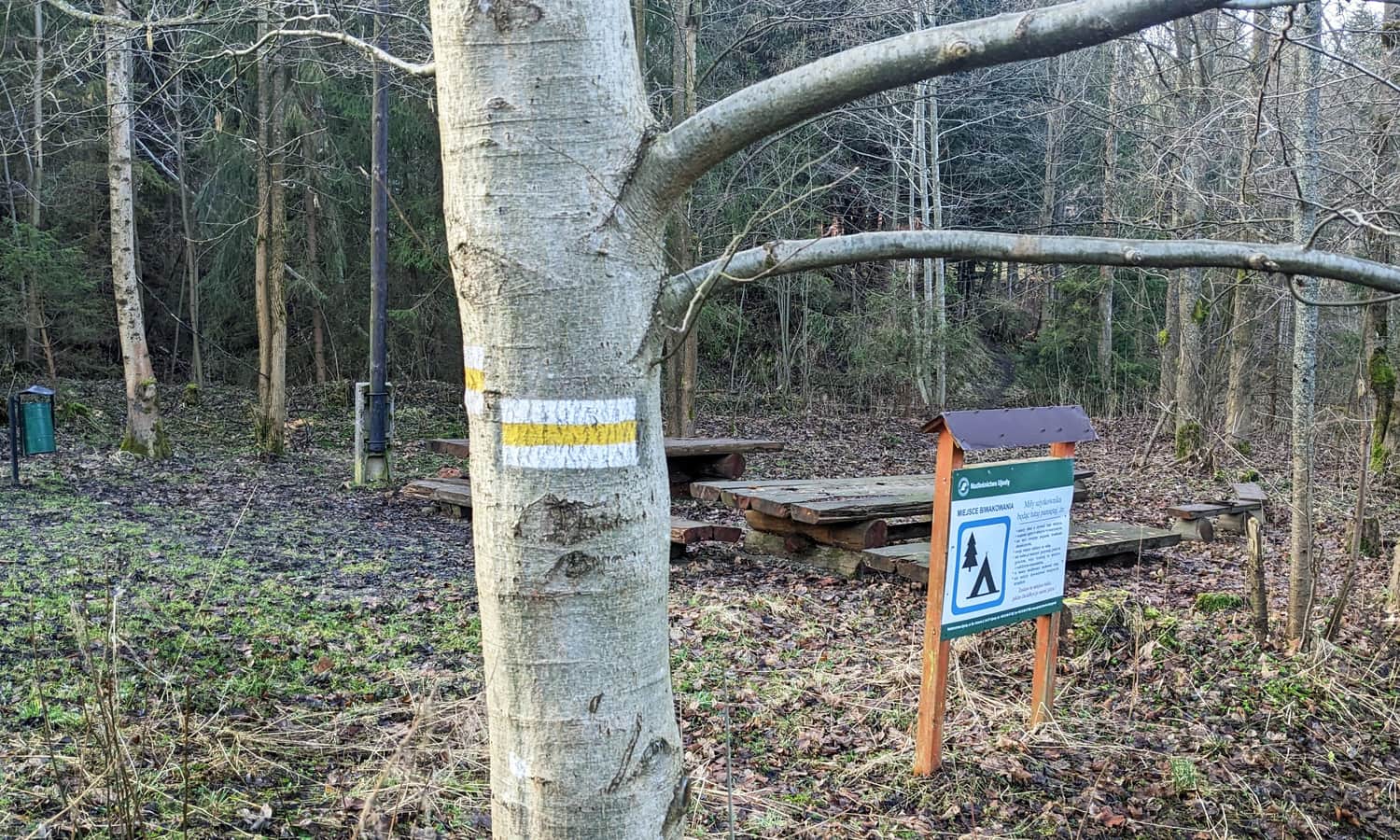
Rajcza Nickulina - Kręcichłosty estate and Chata na Zagroniu
Just before entering the forest, above the stream, you will find a well-equipped camping and picnic spot:
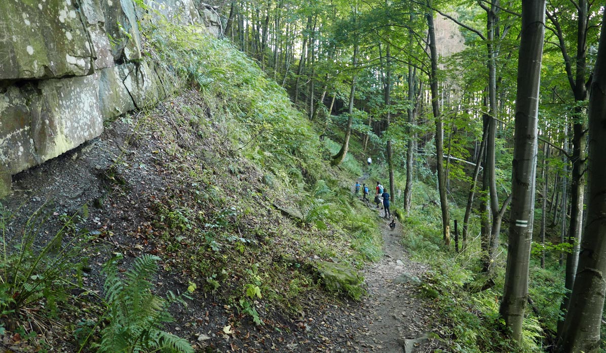
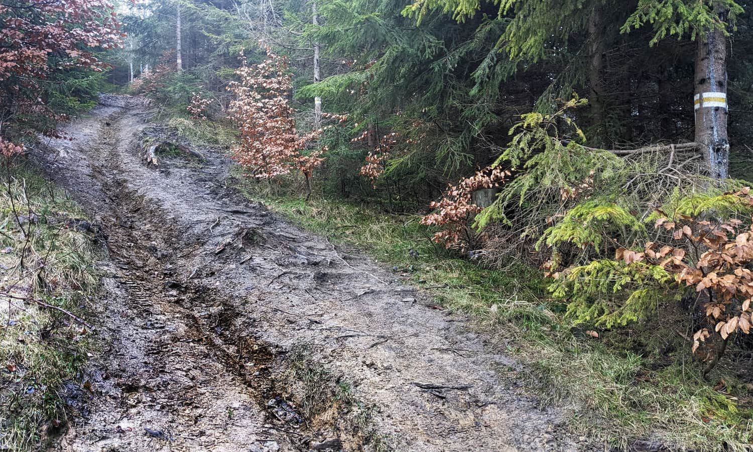
The first section of the yellow trail from Rajcza Nickulina is a somewhat strenuous climb to the mountain estate Kręcichłosty (Kręcichwosty).
Comfortable beaten path:
unfortunately, it will soon turn into a steep forest path:
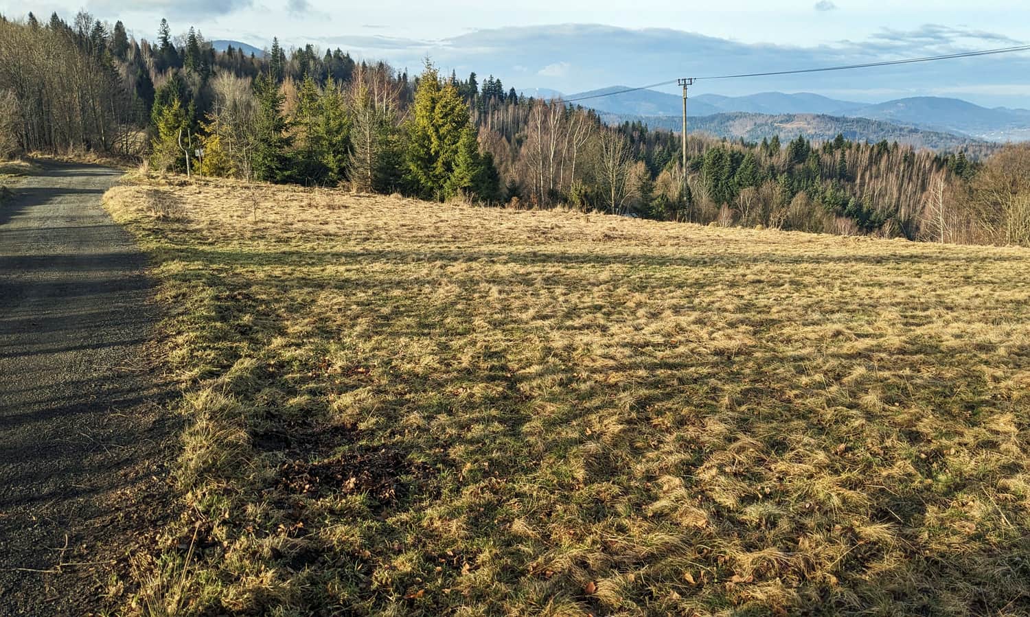
The reward for conquering the 200 m height difference will be the first views! After leaving the forest, we find ourselves in a picturesque estate with views of the peaks of Worka Raczańskiego and the neighboring Beskid Śląski.
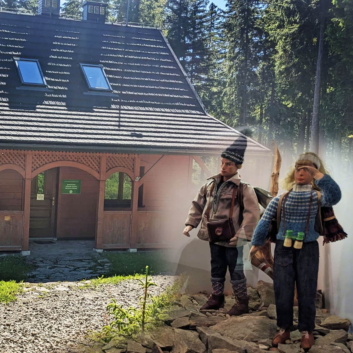
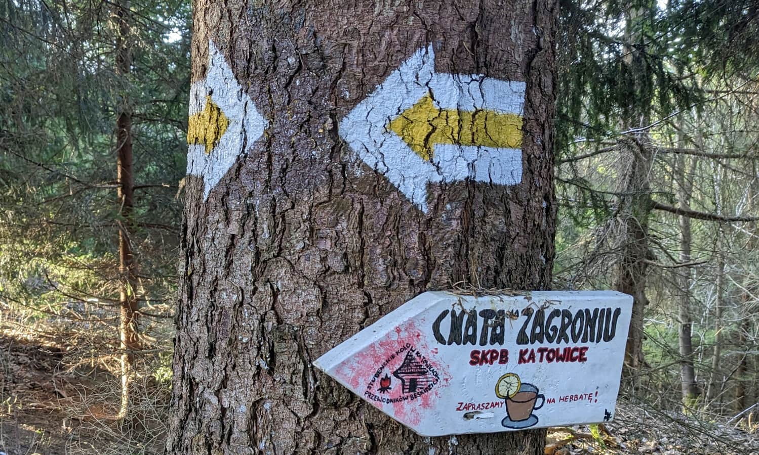
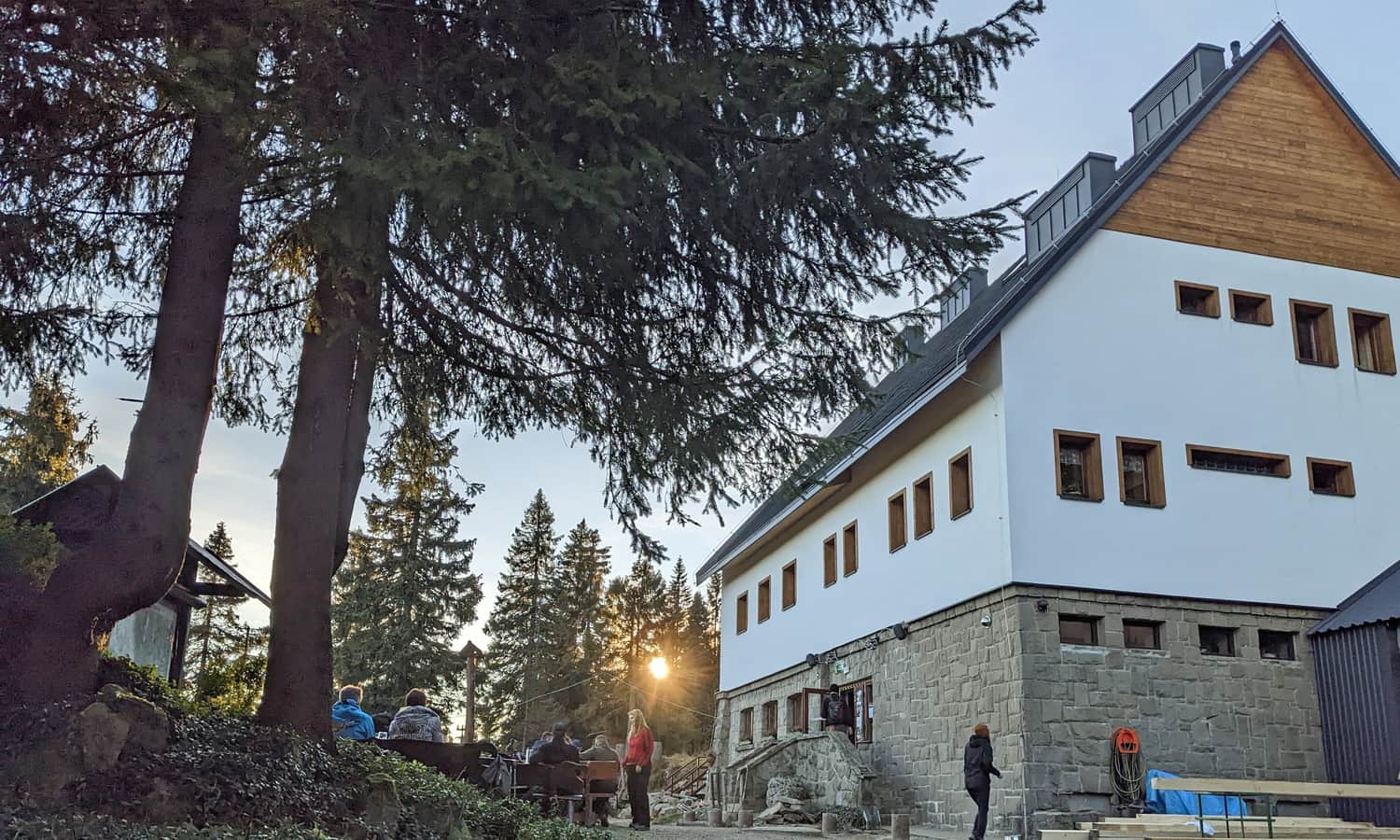
An additional attraction here is the possibility to visit the student's "Chata na Zagroniu". After prior arrangement, you can stay overnight here, or simply take a break before continuing your journey.
Yellow trail to Zapolanka
A walk through Kręcichłosty to the slopes of Zapolanka is an easy and pleasant walk. A comfortable country road rises along the edge of the forest and fields, opening up different views. Both to the northwest (Sucha Góra, and behind it Beskid Śląski), and to the southeast (Złatna valley and Pasmo Krawców Wierchu).
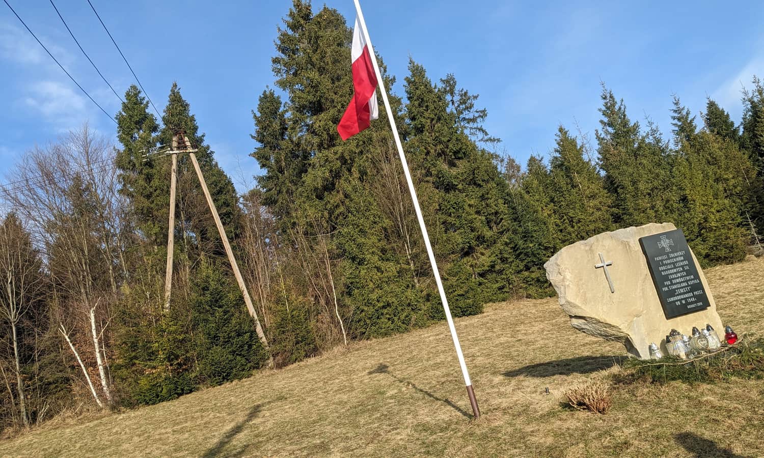
On the way, we pass a plaque commemorating the Beskid partisans:
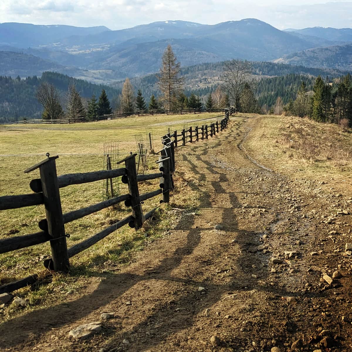
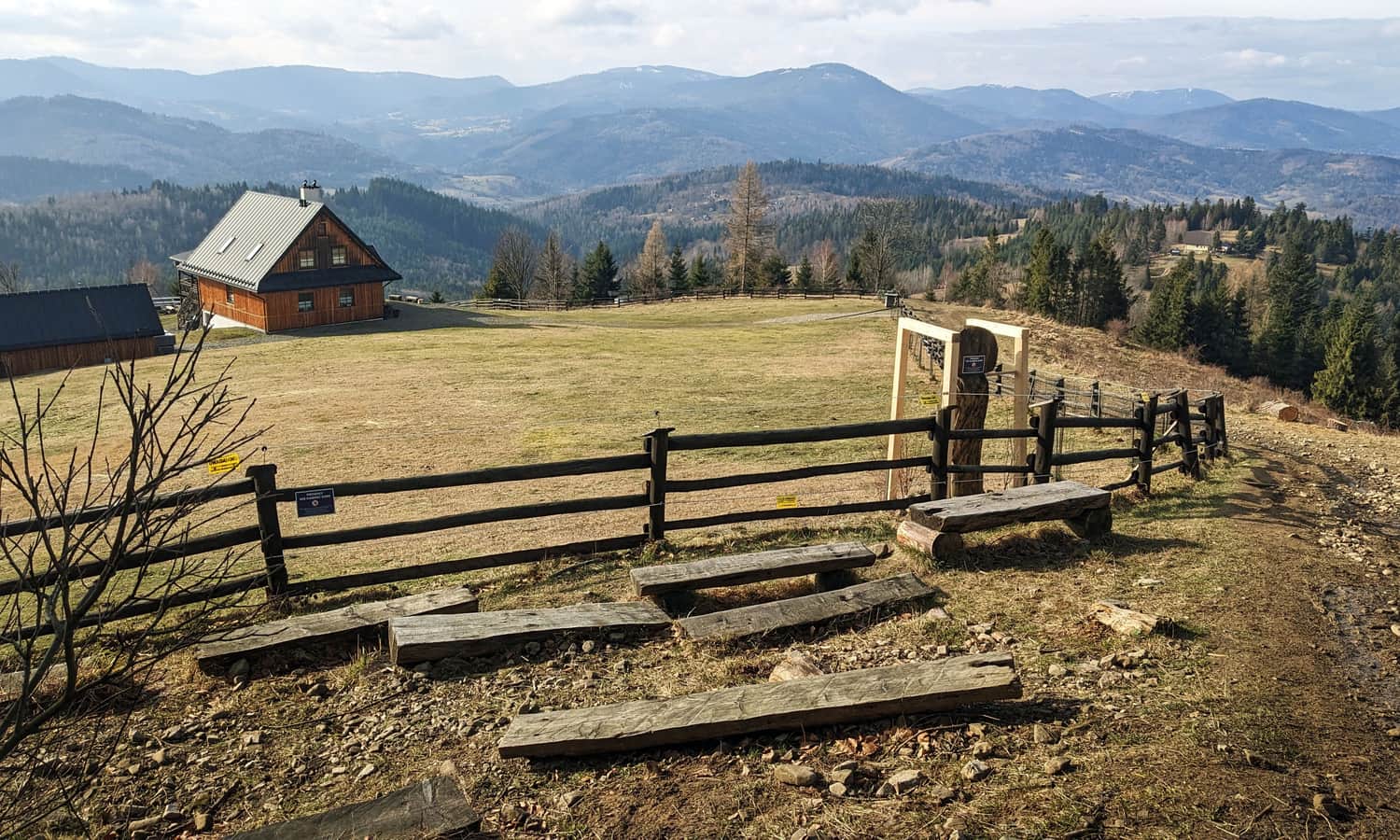
After about 1 hour of walking through the picturesque mountain hamlets of Złatna, we reach the slopes of Zapolanka. It's worth stopping here (either on the meadows or on the benches at the edge of the forest) and enjoy the beautiful, wide panorama!
Zapolanka - Redykalny Wierch
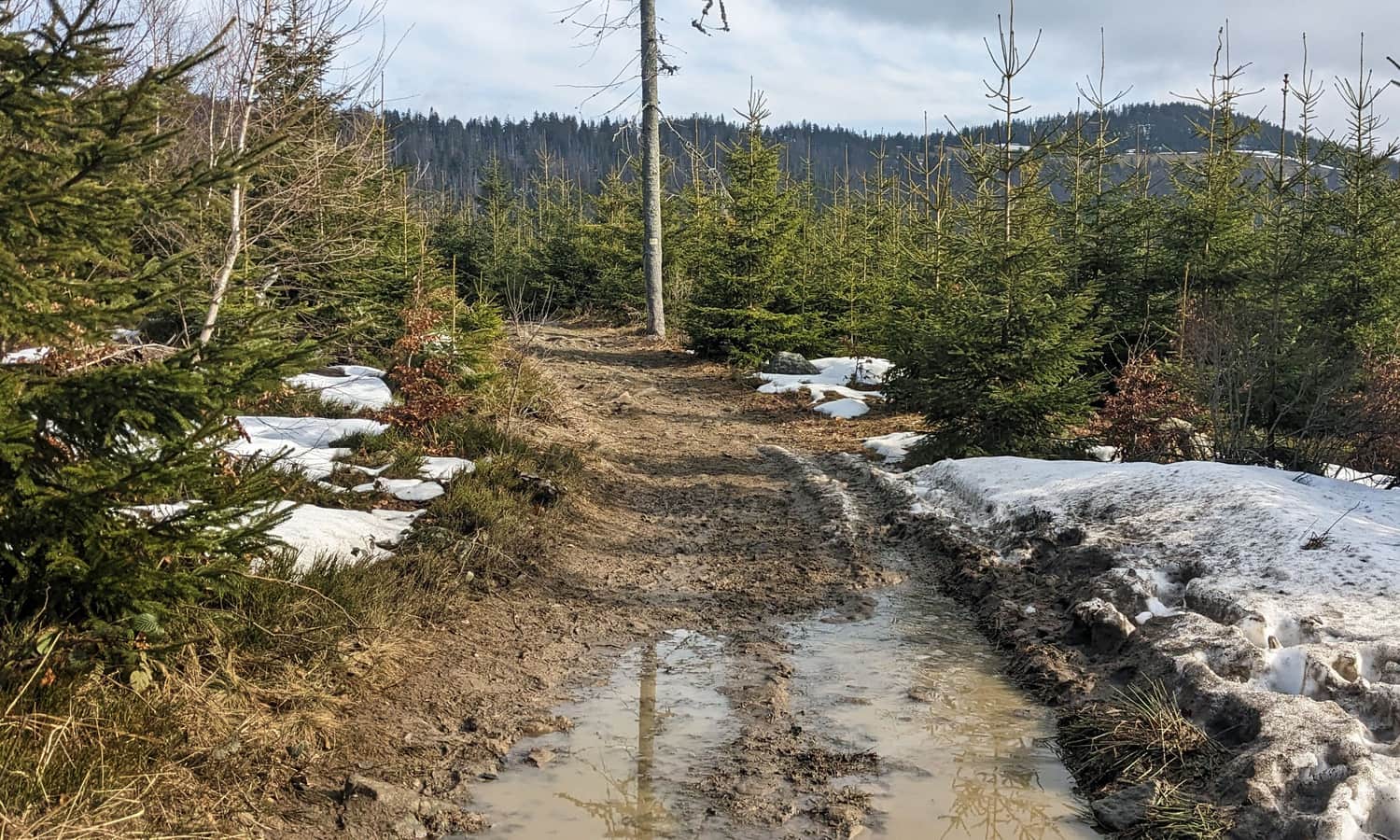
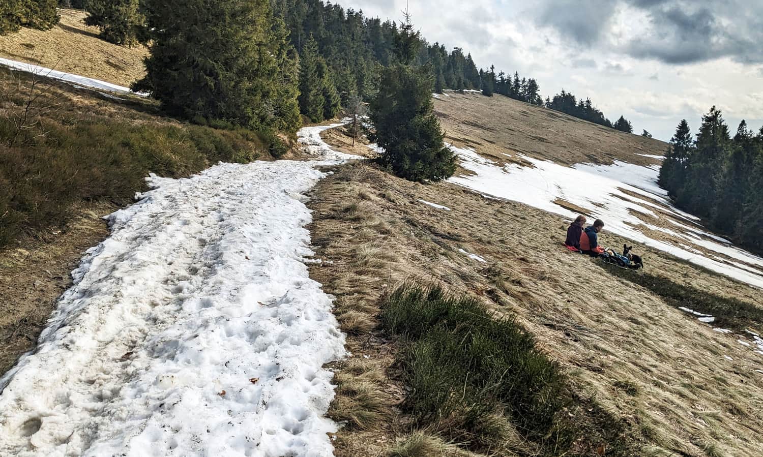
From the meadows on Zapolanka, we enter the forest. It's going to be a bit "uphill" again, but not as steep as in Nickulina.
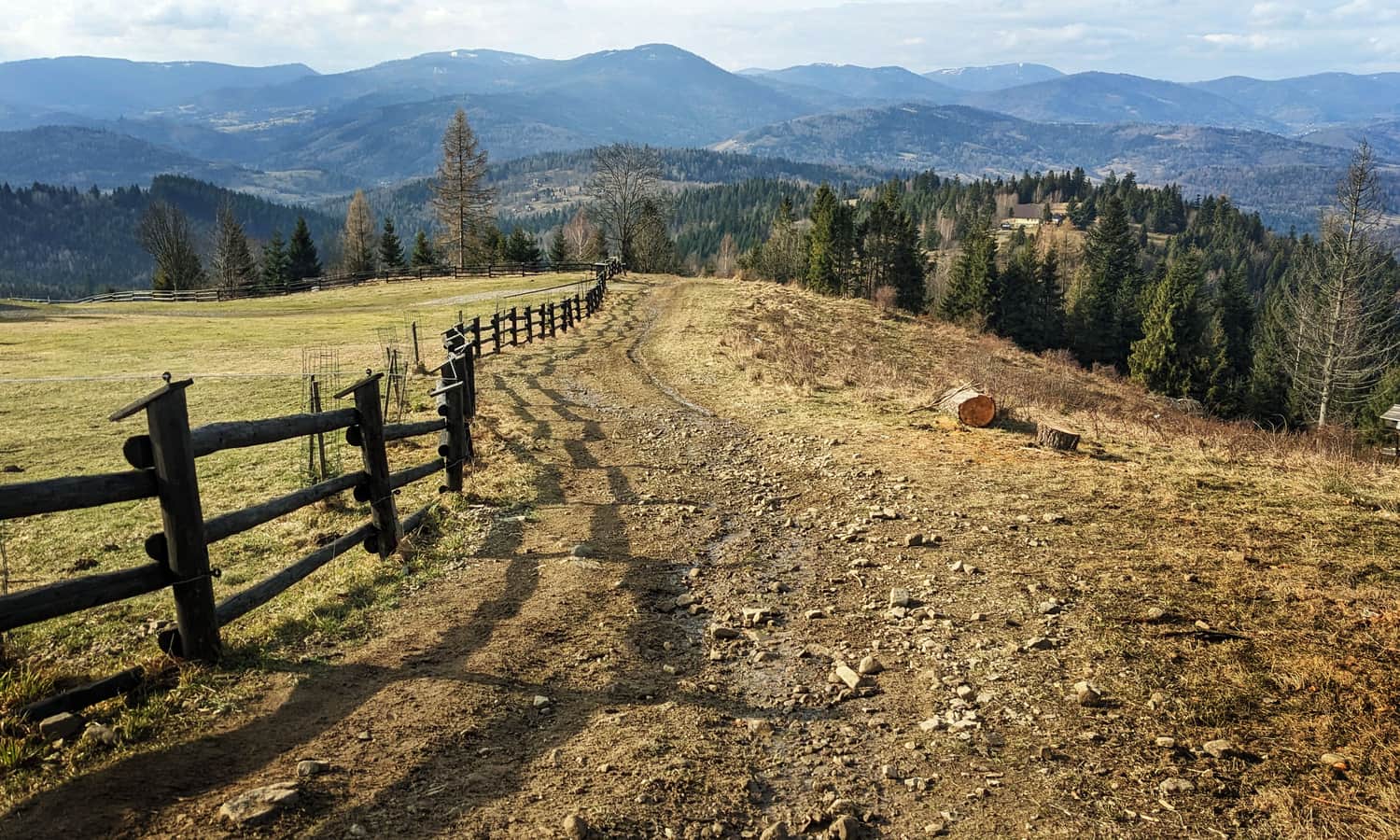
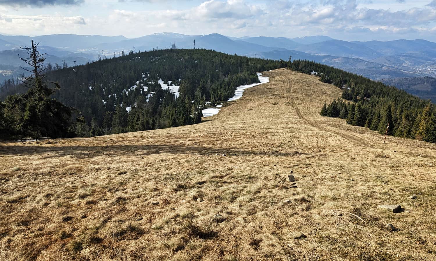
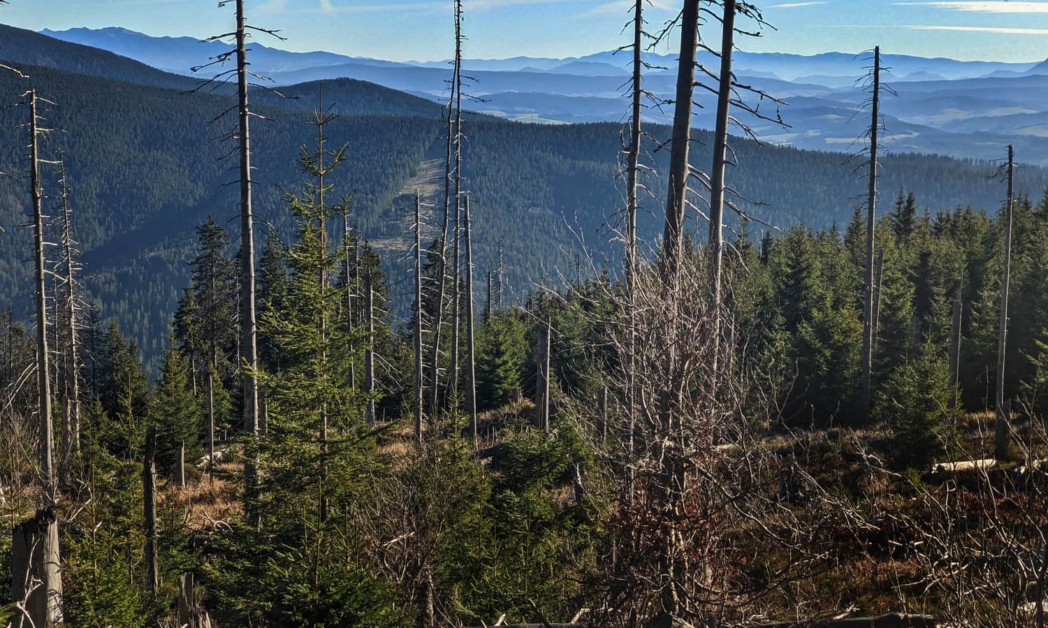
After about 30 min. we will reach another scenic meadow. This is the famous scenic Hala Redykalna under Redykalny Wierch (1146 m above sea level). Another excellent place for a longer stop!
Hala Redykalna - Hala Bacmańska - Hala Bieguńska - Hala Lipowska
Hala Redykalna is the first of several beautiful scenic meadows that await us on the way to Rysianka. Going further along the yellow signs, we pass the top of Redykalny Wierch and after a few minutes, we reach Hala Bacmańska under Boraczy Wierch, and then the small Hala Gawłowska.
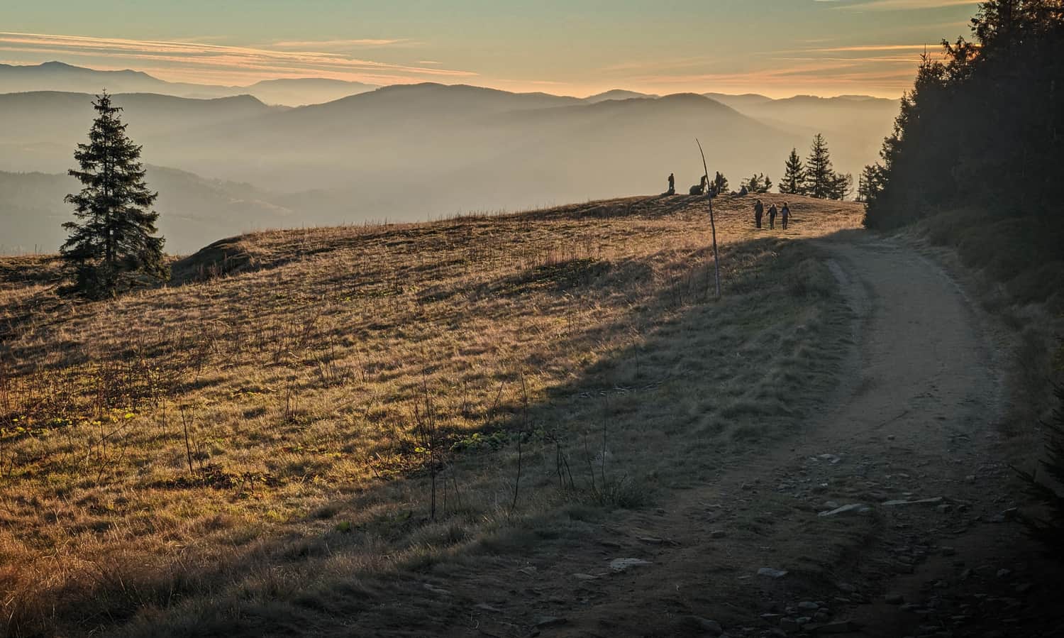
For a longer stop, choose the next, most extensive meadow, Hala Bieguńska under Lipowski Wierch. Here is a picture from this place at sunset:
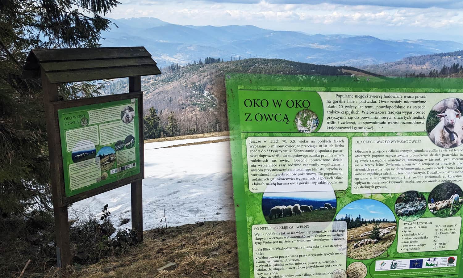
If the views are not so good (and not only), it's worth paying attention to the information boards about the pastoral traditions of the region, as it is thanks to them that we have these beautiful meadows.
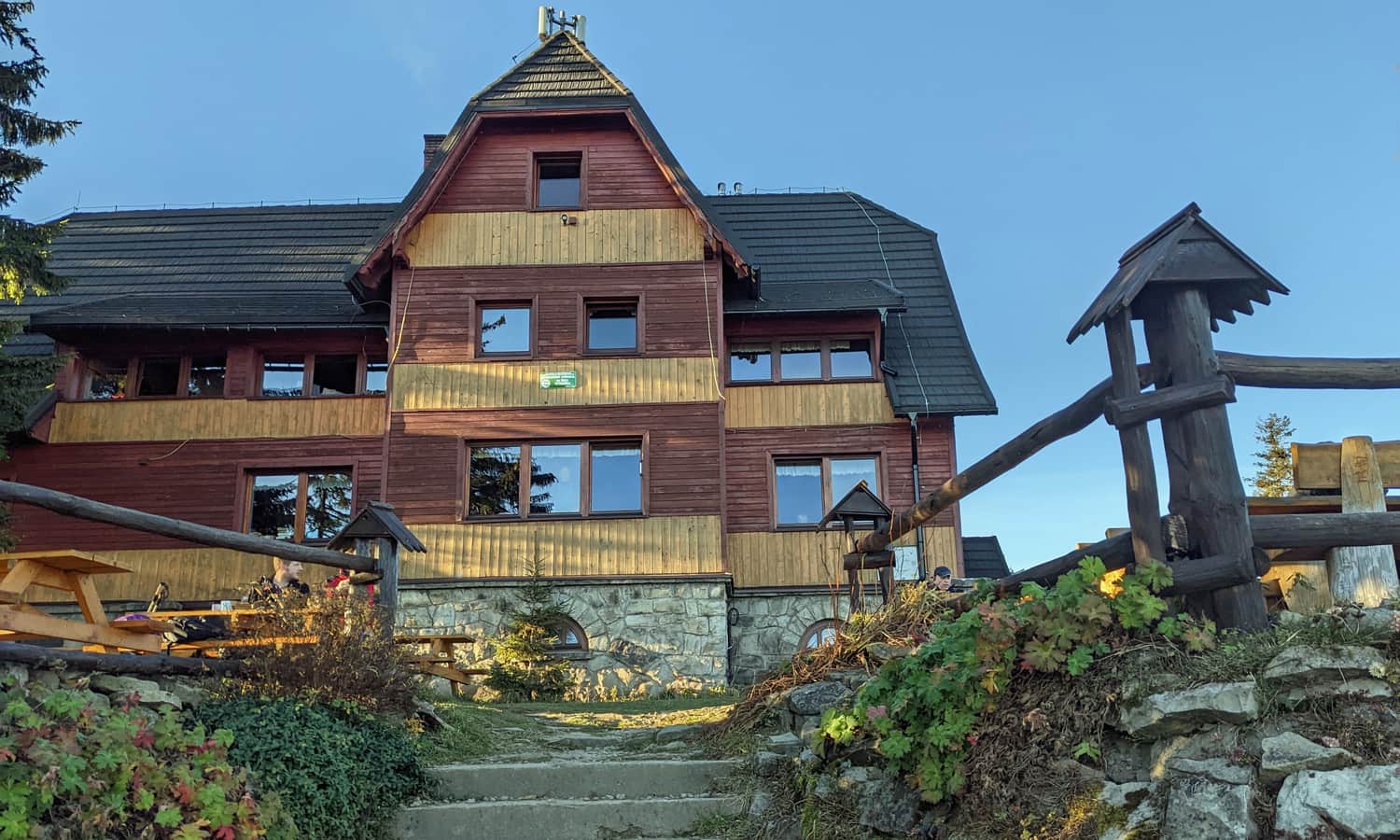
Lipowski Wierch and the shelter on Hala Lipowska
In the forest behind Hala Bieguńska, we reach the border of the Lipowska Reserve, which includes the peaks of Lipowski Wierch and Rysianka, as well as their northern slopes. Here also comes the green trail from Milówka (you can consider taking this path on the way back).
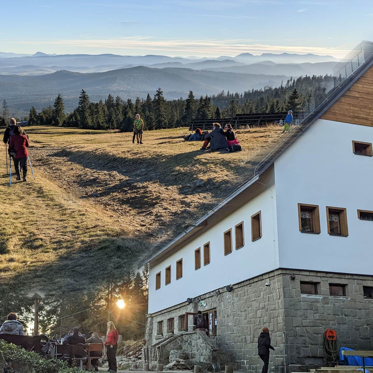
On Hala Lipowska, more views await us, and just above the meadow, unfortunately without views: PTTK Shelter on Hala Lipowska. You can stop here for lunch, or simply take a break. Children can play on the playground (and in winter, go sledding or snow tubing).
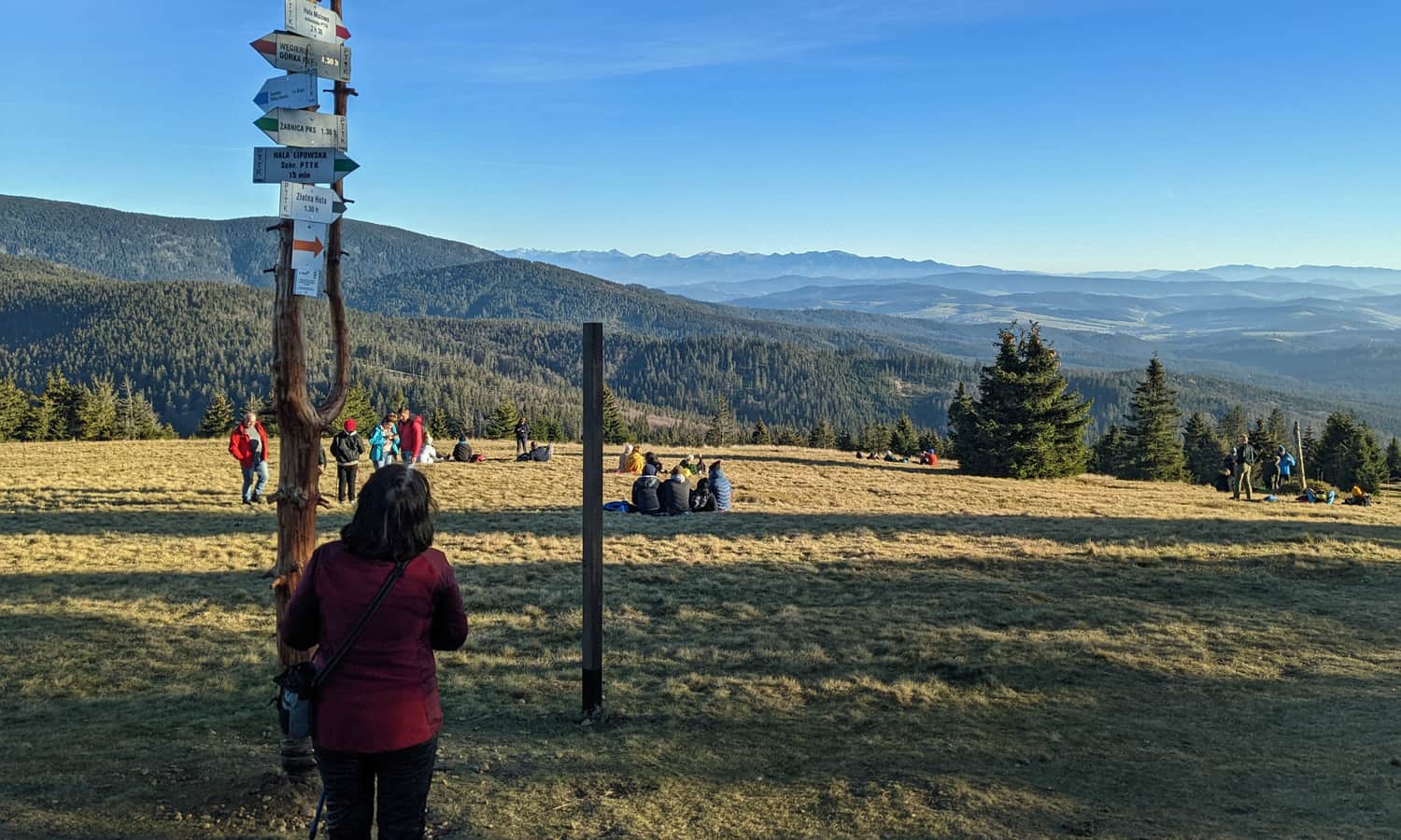
Rysianka: shelter and views
Just a few minutes' walk separates Hala Lipowska from another viewpoint and another shelter. On Rysianka, the panorama is even wider, almost "all around": from the slopes of Romanka, through Beskid Mały, the eastern part of Beskid Żywiecki, Babia Góra and Pilsko, through the Tatras to the Slovak ranges: Lower Tatras, Choczańskie Mountains with the conical Great Choc, Little Fatra with the jagged Great Rozsutec.
Rysianka and what's next?
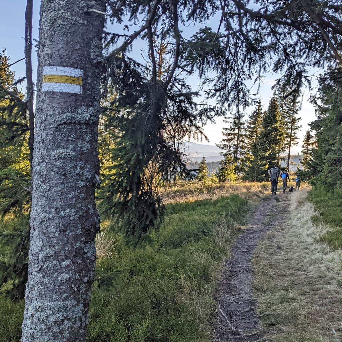
Firstly, if you continue along the yellow signs for about 1 hour, you will reach Romanka (1366 m above sea level), the highest, but unfortunately forested, peak of the mountain group called "Nest of Lipowski Wierch and Romanka". Attention! Dogs are not allowed here.
Medium
From Rysianka to Romanka - yellow trail

Return to Rajcza
You can return to Rajcza the same way: the return journey Rysianka - Rajcza train station is about 3.5 hours (to the parking lot in Rajcza Nickulina: 2:40 min.).
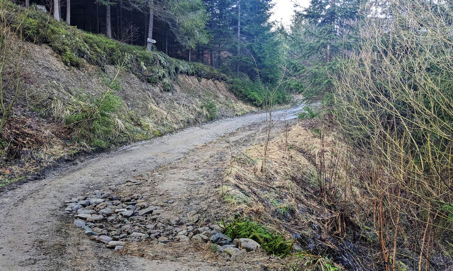
If you want some variety on the way back and turn onto the green trail, after about 1.5 hours you will reach Polana Cukiernica and the shelter on Hala Boracza. From here, you can go on the blue trail through Sucha Góra to Rajcza train station (in total, the route Rysianka > Hala Boracza > Rajcza train station is about 3.5 hours), or continue along the green signs all the way to Milówka train station (also about 3.5 hours).
Attention! If you choose one of these options, keep in mind that the green trail is a very narrow path traversing steep slopes. In winter, during or after heavy rainfall, it may be slippery and dangerous.