
Red Trail from Węgierska Górka to Barania Góra
Nearby: Bielsko-Białawb_sunny Route in the sun
directions_car Access by car
directions_bus Can be reached by bus
train Access by train possible
warning No dogs allowed
The red trail to Barania Góra from Węgierska Górka is quite long and challenging. However, along the way, you will see beautiful views and interesting rocks at Magurka Radziechowska.
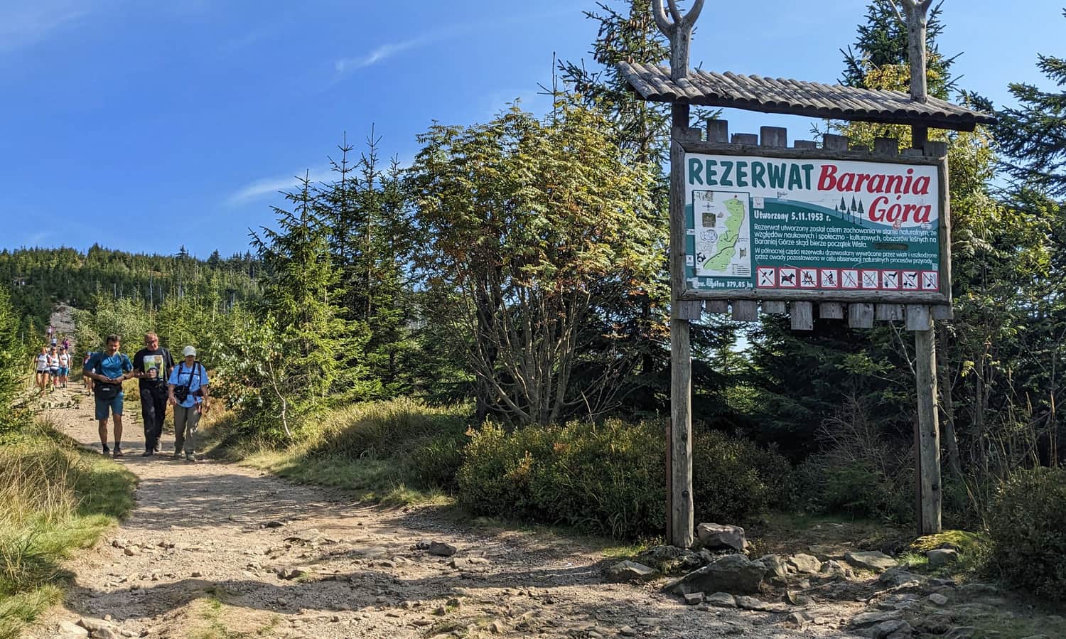
Attention! The final part of the trail runs along the edge of a nature reserve, where dogs are not allowed.
Węgierska Górka - Start of the Red Trail to Barania Góra
The red trail goes through the center of Węgierska Górka. You can find it near the train station (PKP) and the main road (bus stops). If you drive, you can park closer to the Soła Valley near the park by the river and the swimming pool complex.
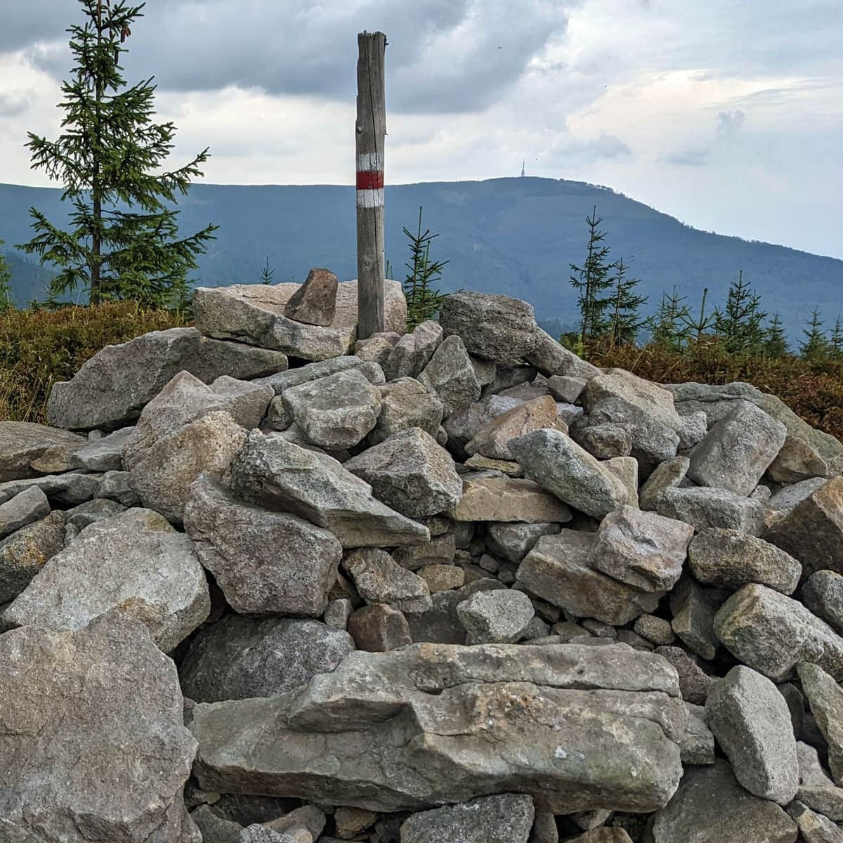
Red Trail: Węgierska Górka - Glinne, Hala, and Magurka Radziechowska
The first part of our hike is about 5 km of climbing to Glinne (1034 meters above sea level), then to the scenic Hala Radziechowska and the peak of Magurka Radziechowska.
This part of the red trail from Węgierska Górka to Barania Góra is described in detail in this article:
Medium
Hala and Magurka Radziechowska from Węgierska Górka

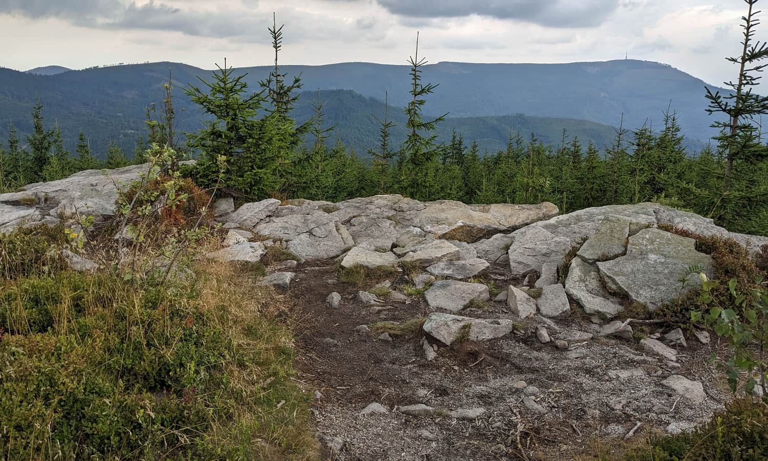
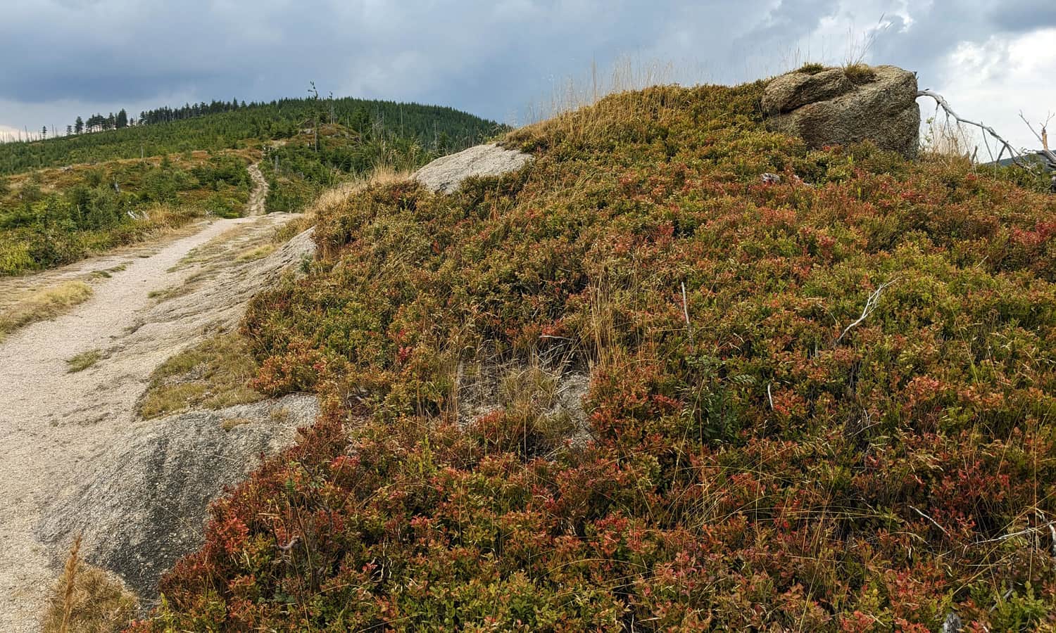
Rocks at Magurka Radziechowska
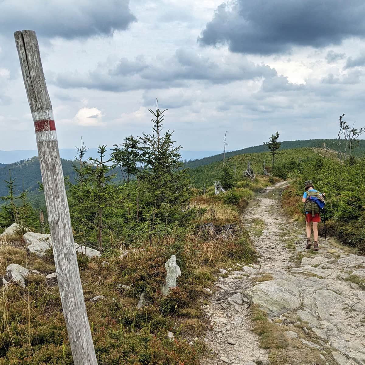
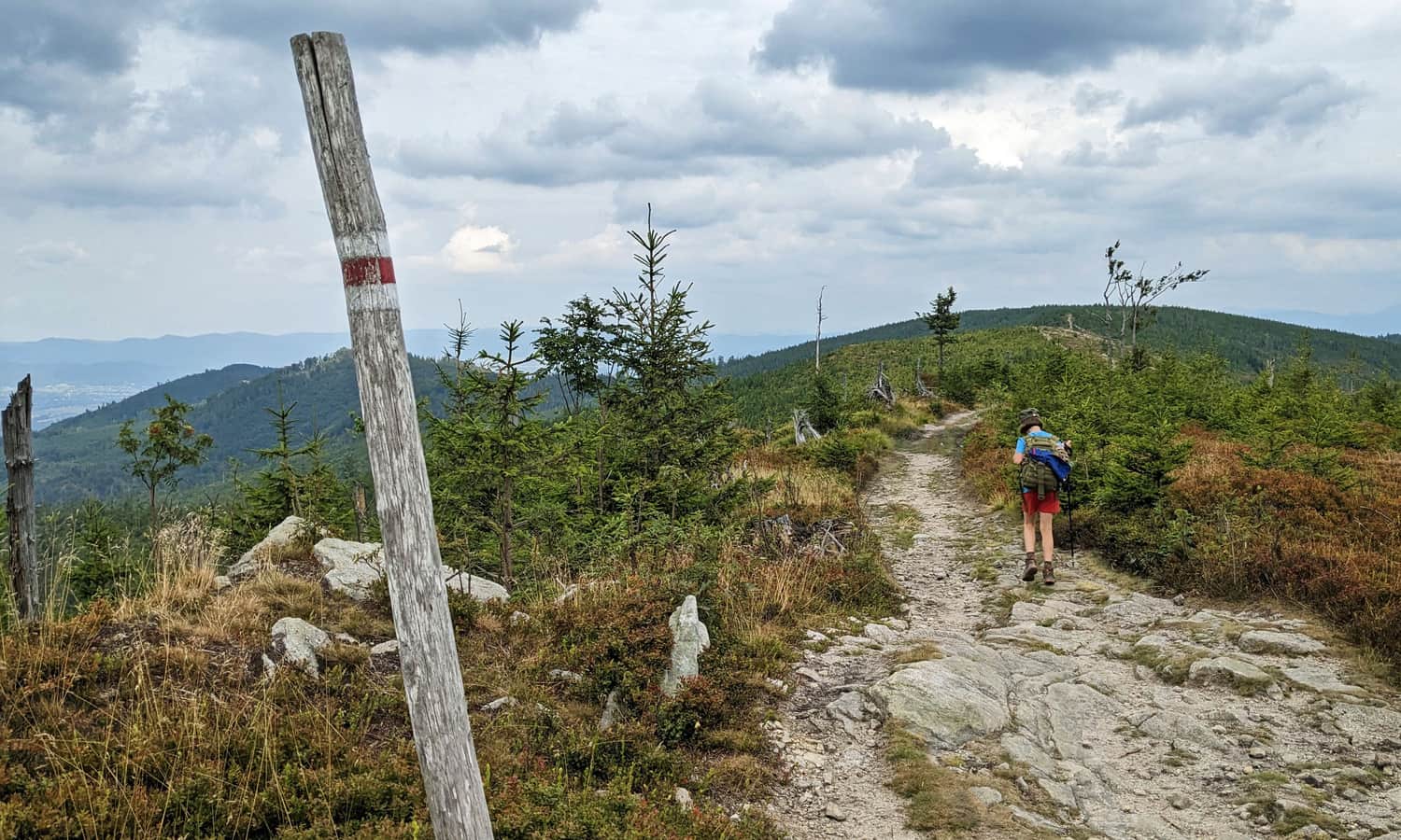
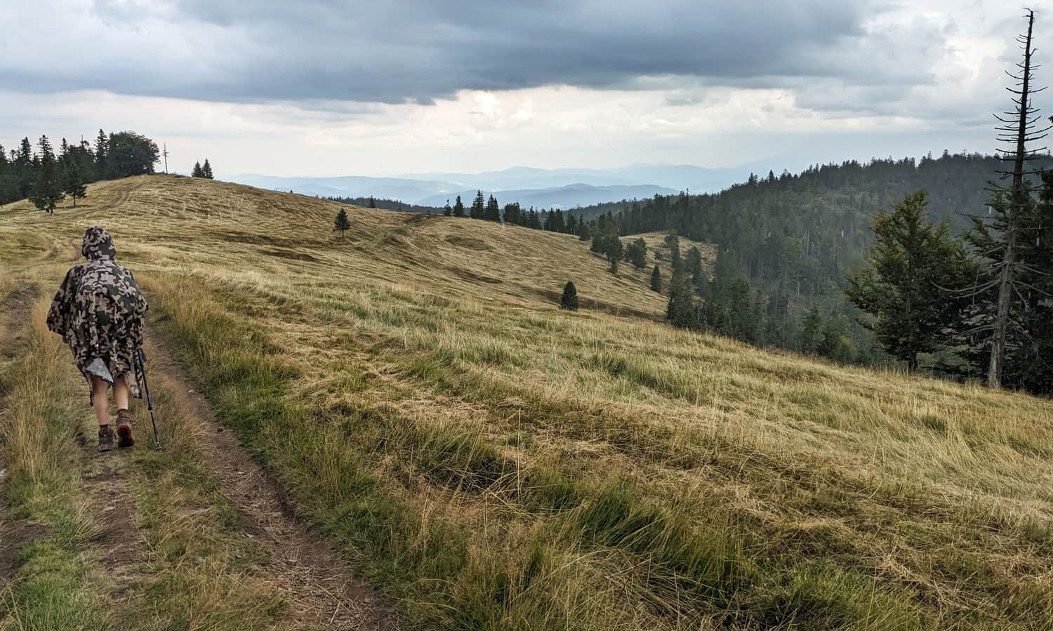
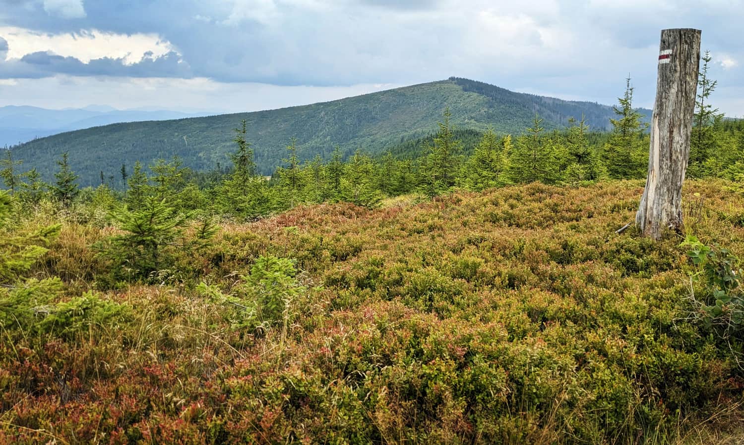
The ridge between the peak of Magurka Radziechowska and Magurka Wiślańska is a beautiful scenic route.
The first attraction, about 10 minutes past the peak, is a picturesque rock outcrop:
And the views from the trail towards Magurka Wiślańska are so beautiful:
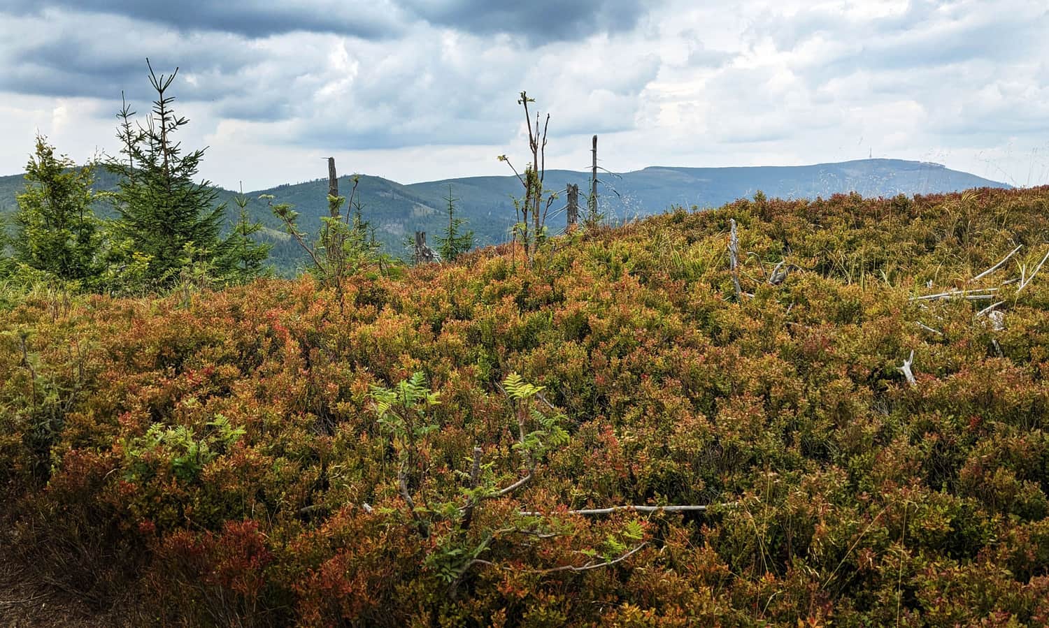
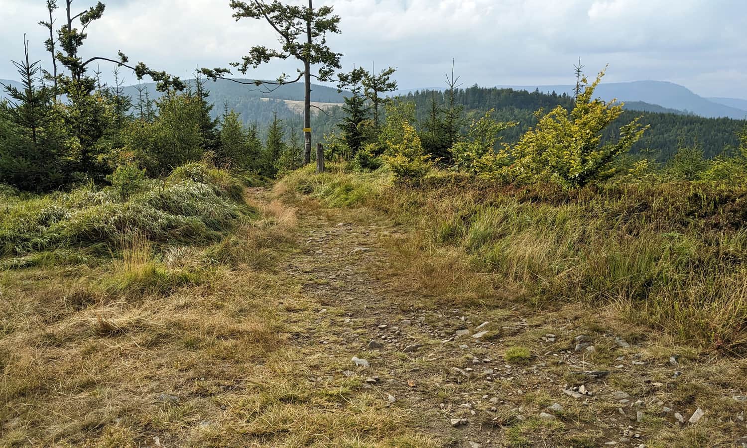
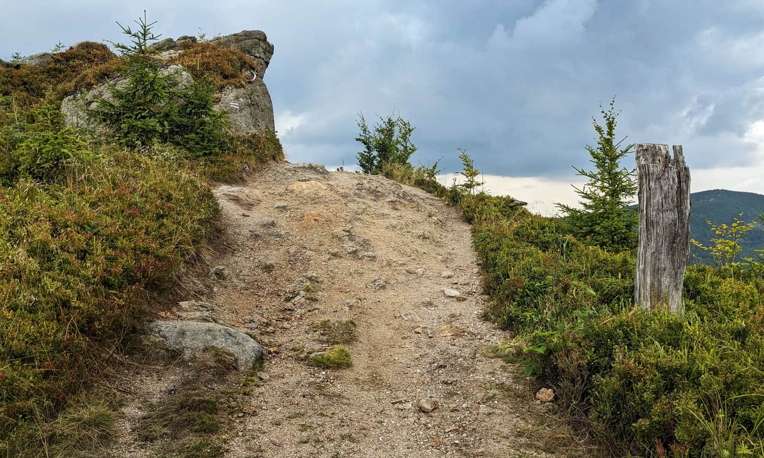
Magurka Wiślańska - Barania Góra
After reaching the peak of Magurka Wiślańska, we arrive at the green trail and the boundary of the Barania Góra Reserve.
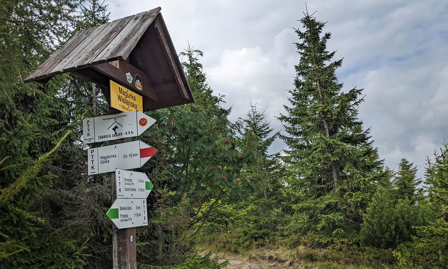
Attention! From here, dogs are not allowed!
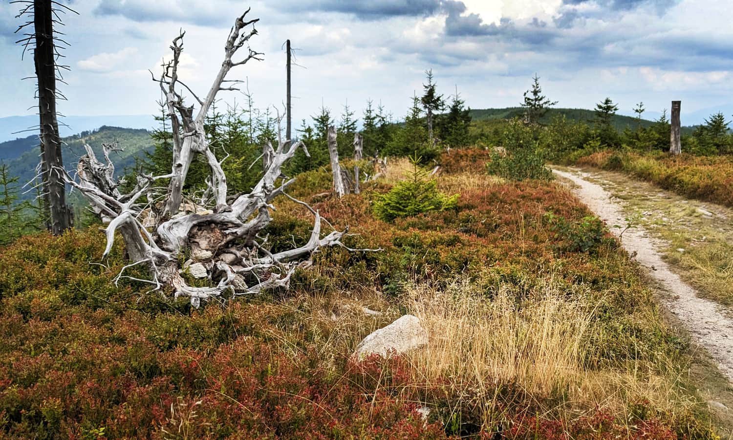
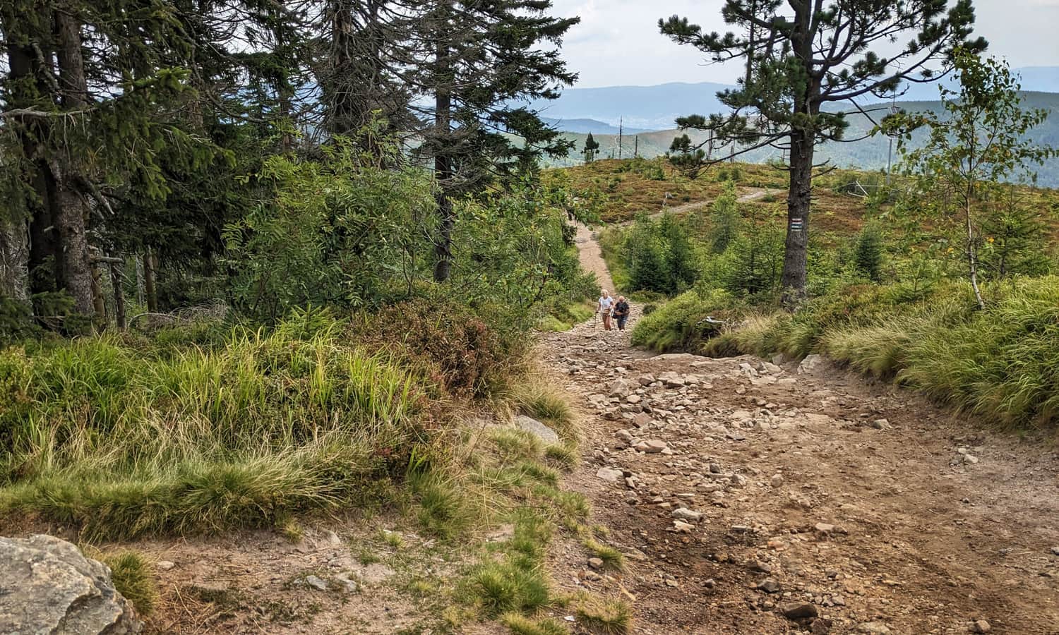
This 2-kilometer section is first a fairly gentle path, then a steep climb to the top of Barania Góra:
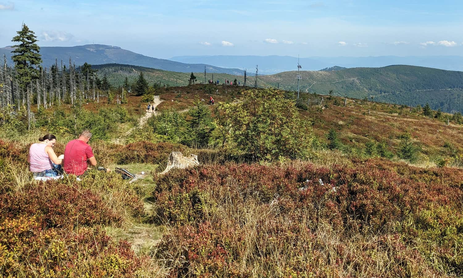
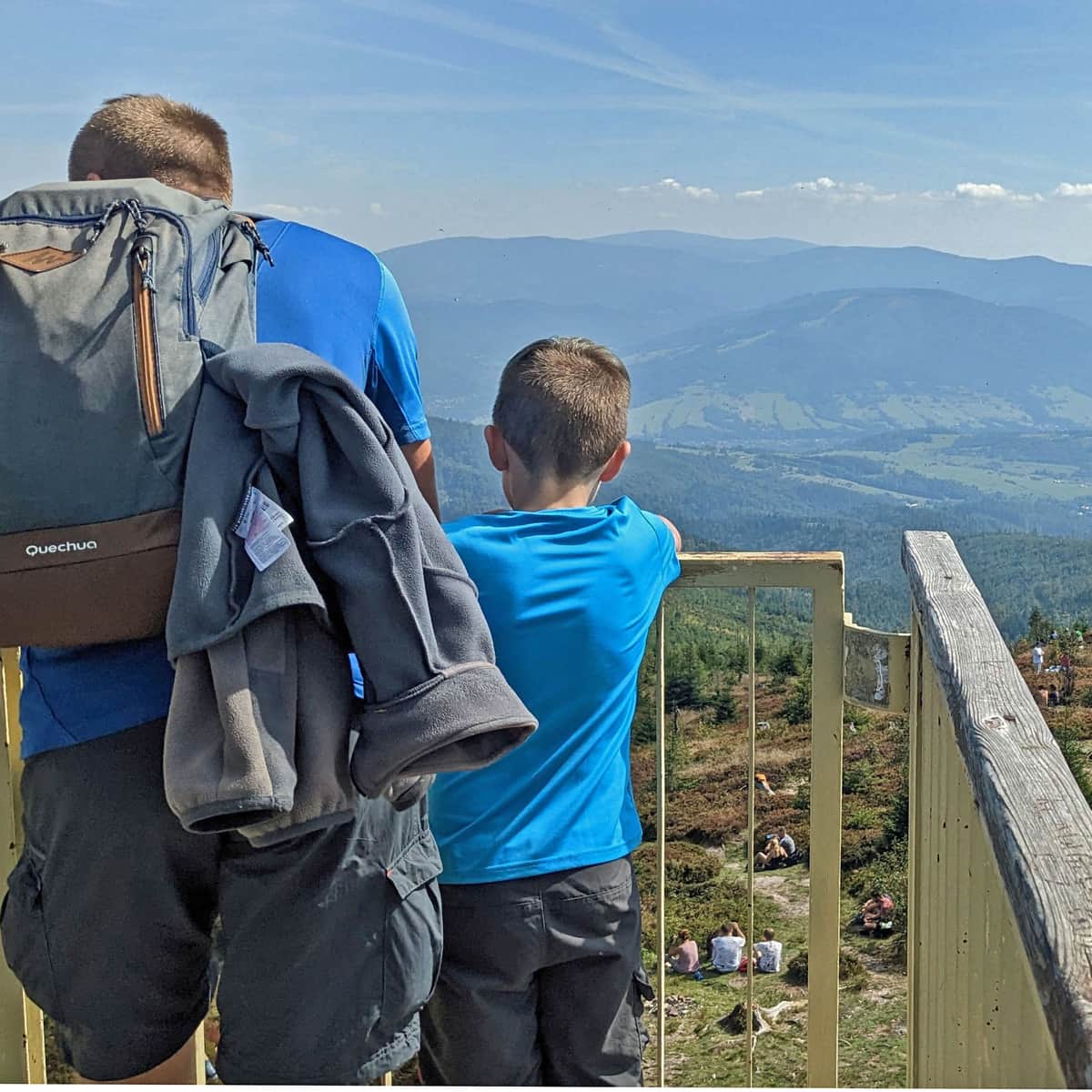
Barania Góra, 1215 meters above sea level
We have reached our goal! Here, you will find a recently renovated observation tower and wide, scenic meadows!
Learn more about the attractions of Barania Góra and other trails to the summit here:
Barania Góra - trails, tower, views and trivia
Barania Góra, 1215 m above sea level is the second highest peak of the Silesian Beskids. This is where the Queen of Polish Rivers - the Vistula has its source. What should you know about Barania Góra? What trails lead to the summit and which one to choose? ...

More in the Region Beskid Śląski (Silesian Beskid)


