Koskowa Góra and Parszywka from Bogdanówka - scenic loop on the new black trail
Nearby: Myślenice| Distance | 10.5km |
|---|---|
| Time | 3h 47min |
| Ascents | 466m |
| Descents | 466m |
Elevation Profile:

wb_sunny Route in the sun
restaurant Restaurant or bar nearby
sports_basketball Playground along the route
directions_car Access by car
wc Toilet along the route
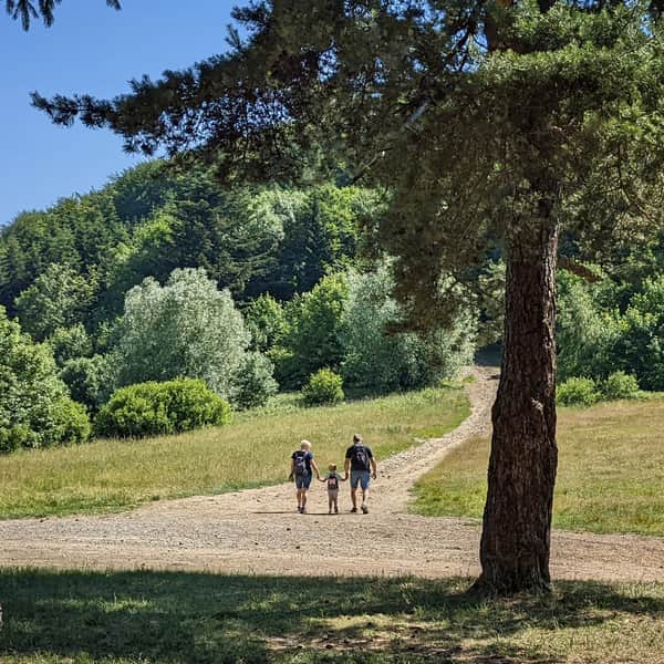
The new black trail from Bogdanówka offers the chance to plan an easy and very scenic mountain route in the form of a loop. Both from Koskowa Góra and the neighboring Parszywka, beautiful panoramas unfold. Additionally, along the way, there are several interesting chapels, and even a restaurant with a playground!
Bogdanówka - new black trail to Koskowa Góra and Parszywka
Marked in 2023, the new black trail connects Bogdanówka with the ridge, yellow trail running through the peaks of Koskowa Góra and Parszywka. Its eastern part circles Sołtysia Góra and reaches the yellow trail at the Chapel of St. Anna in Więciorce Polana (settlement under Parszywka). The western section leads us from the center of Bogdanówka through Gieratówka to the blue trail, crossing the Koskowa Góra range from north to south.
Thanks to the new black trail, we can go on a very scenic loop route through the peaks of Koskowa Góra and Parszywka, starting from Bogdanówka and returning to the trail entrance from the other side.
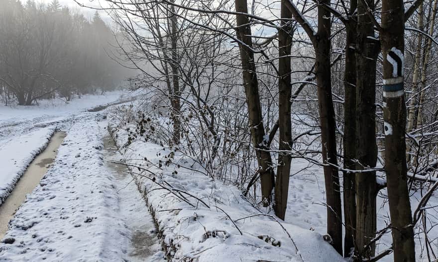
Start of the new black trail in Bogdanówka
The black trail passes through the center of Bogdanówka. You can find its signs both at the church and at the school. In these two places, you can also use small car parks. Heading west towards Koskowa Góra, we need to turn off the main road at this point (of course, we can also loop in the opposite direction).
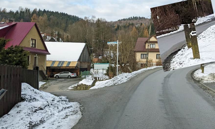
From Bogdanówka to Koskowa Góra
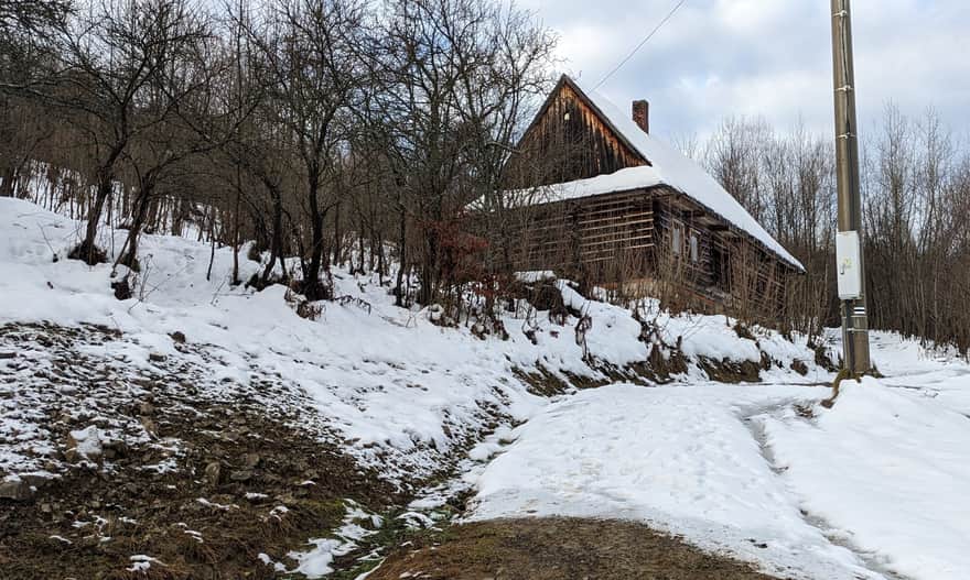
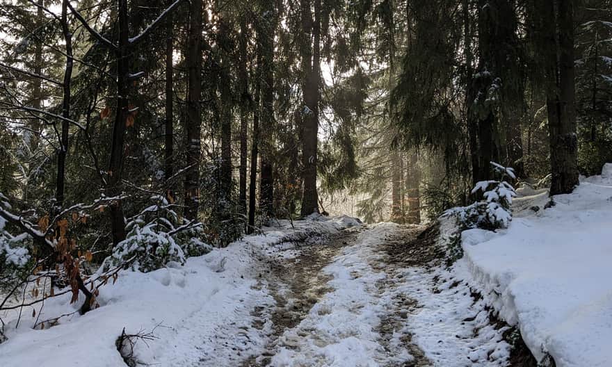
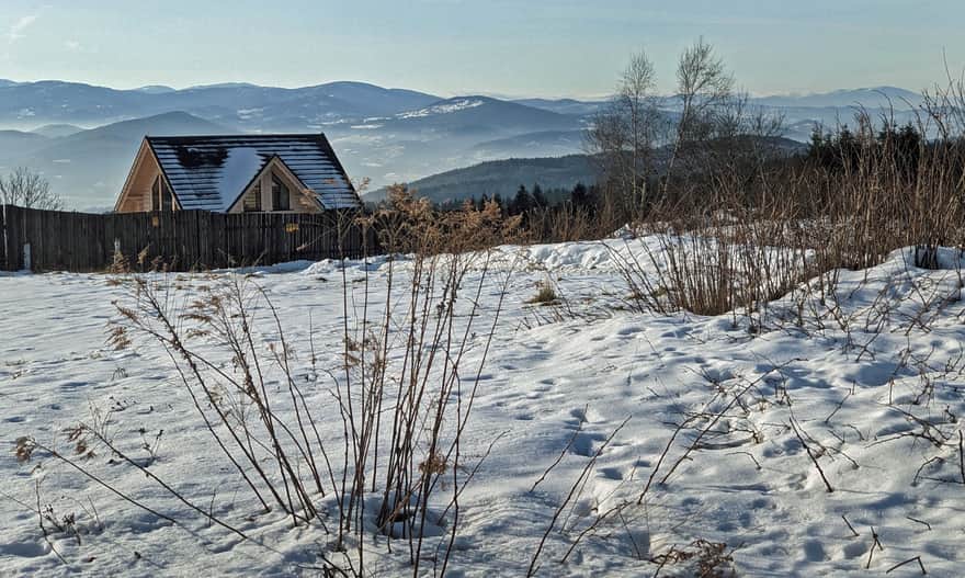
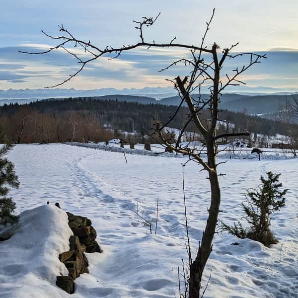
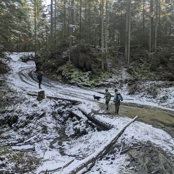
Initially, we climb a steep asphalt road between the buildings of the Gieratówka estate. Soon it turns into a wide field road and leads us to picturesque and scenic meadows, from which you can see, among others, the characteristic building of the restaurant under Parszywka.
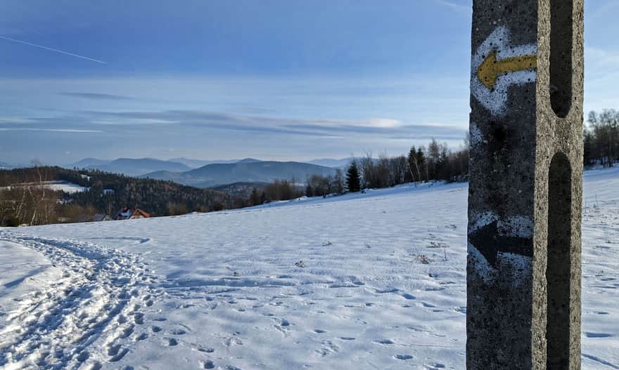
After about 40 min. from leaving the main road in Bogdanówka (after about 1 km, less than 200 m height difference) we reach the blue trail. Here the black trail ends, and we follow the blue signs to the right, to the north.
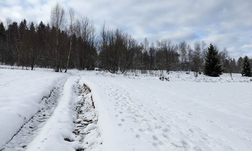
The blue trail is wide and comfortable. It leads mainly through the forest, but along the way, there are also "viewing windows", including to the west, towards Babia Góra.
Koskowa Góra, 867 m above sea level - viewpoints
After about 40 min. of walking the blue trail through the forest, we reach a vast clearing. The blue signs direct us straight towards the Koskowa settlement. However, it is worth turning left (visible wide road) to the very top of Koskowa Góra.
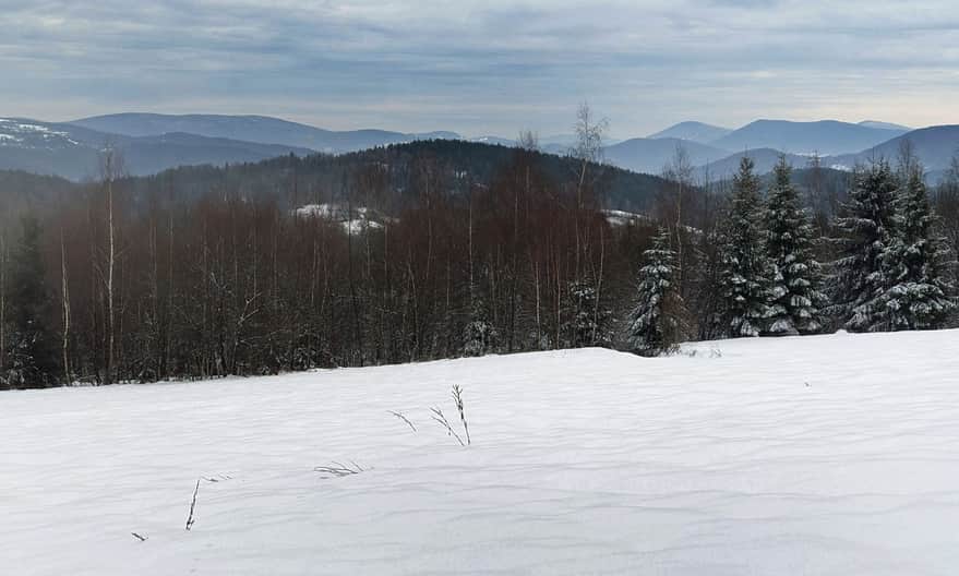
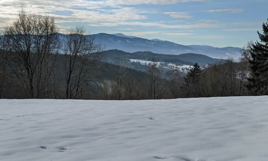
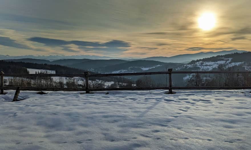
Here awaits us a beautiful panorama: from the Beskid Wyspowy and Gorce in the east, through the Tatra Mountains in the south to the Beskid Żywiecki in the west.
To return to the marked trail, let's go a little further north, towards the high mast. Here we will find yellow signs of the ridge trail. It is also worth taking a look at the view opening from this place to the north-west: not only the Beskid Żywiecki is visible, but also the Silesian and Small Beskids.
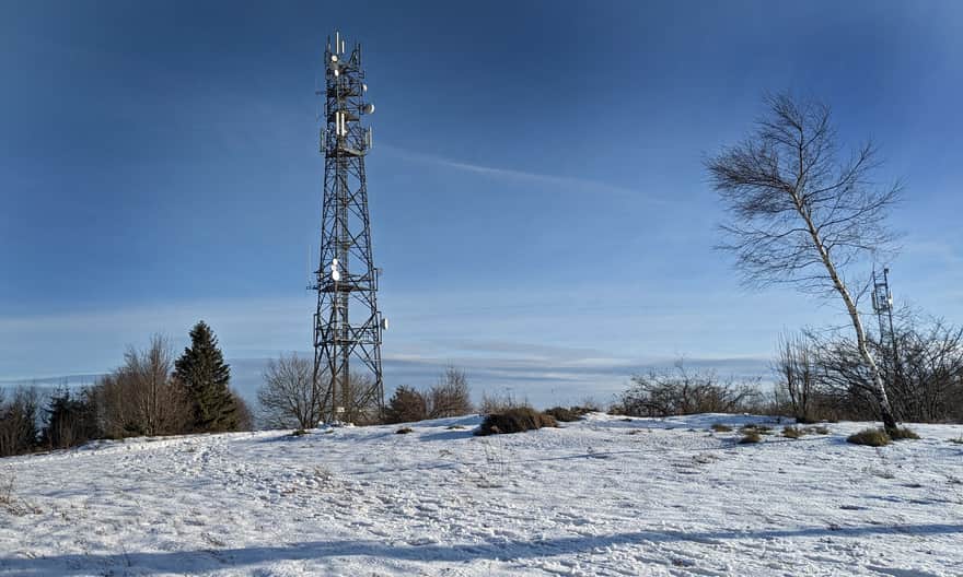
From the top and masts on Koskowa Góra, we head east on the yellow trail. In the Koskowa settlement, the blue trail "abandoned" before the summit joins us.
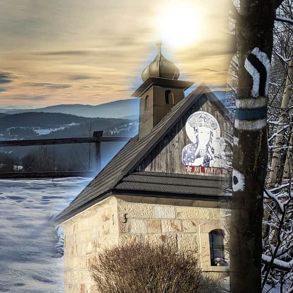
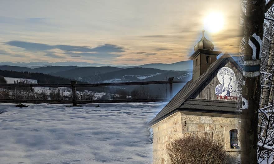
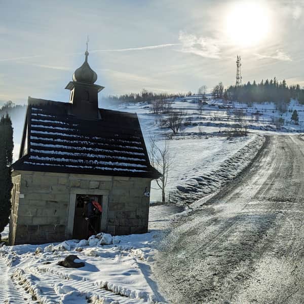
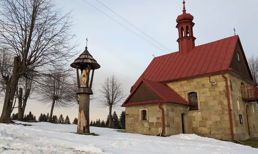
We reach a characteristic point on Koskowa Góra - the famous chapel - by asphalt road.
Chapel on Koskowa Góra
The chapel under the summit of Koskowa Góra is one of the most characteristic places of the Makowski Beskids. An asphalt road and the Way of the Cross from Bogdanówka also lead here.
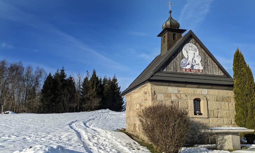
An interesting legend is associated with the chapel, you will learn about it (as well as other curiosities and descriptions of other trails to the top of Koskowa Góra) in this article:
Koskowa Góra - trails to the top, views and Koskowa Chapel
Koskowa Góra, at 867 meters above sea level, is a relatively low, but very scenic peak in the Makowski Beskids. How to get there and what is worth knowing about the peak and the famous chapel? ...
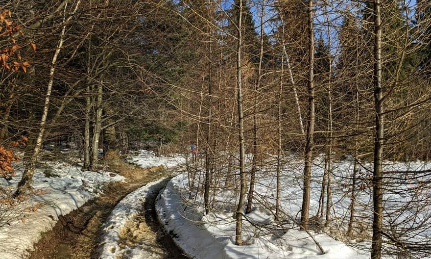
From Koskowa Góra to Parszywka
The route from Koskowa Góra to Parszywka is a comfortable, wide and practically flat road, initially asphalt, then forest, but still very comfortable.
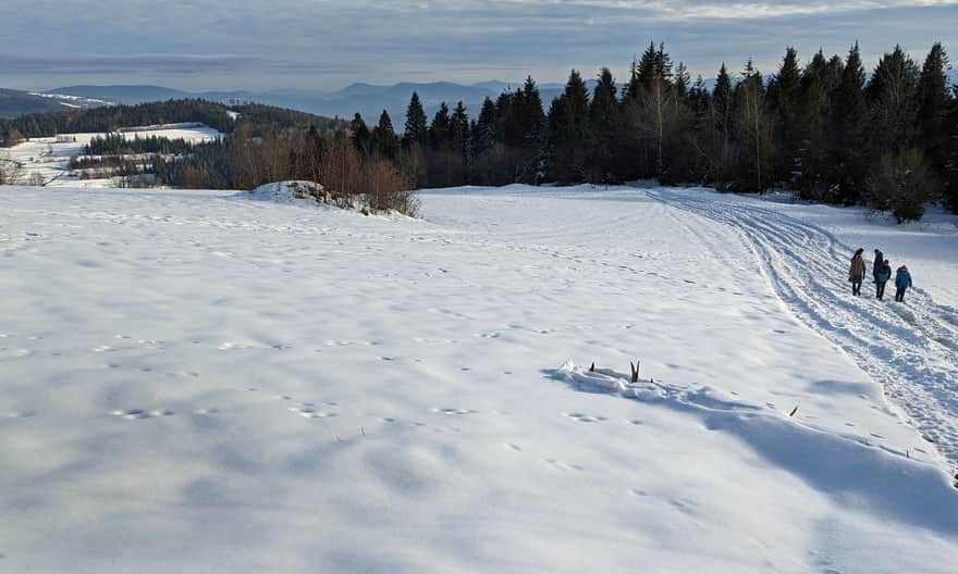
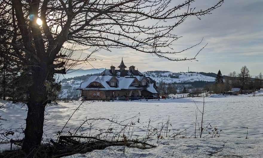
Just before the summit of Parszywka, there is another scenic clearing, where the "Wrzosowy Dwór" restaurant and hotel are located. Here you can enjoy a warm meal or dessert, a viewing terrace, and a playground.
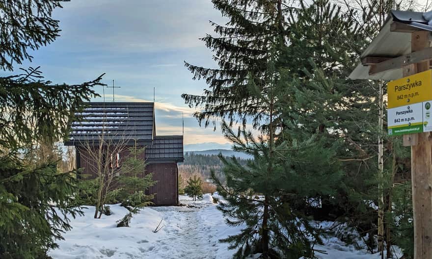
Parszywka, 842 m above sea level and Veronica's chapel
From the Wrzosowy Dwór restaurant, we return to the yellow trail. From here to the top of Parszywka, it's literally 5 minutes. For several years now, the new and very atmospheric Veronica's chapel has been waiting for us here. There's a bench by the chapel and equally beautiful views as from the restaurant.
Read more about the interesting history of Veronica's chapel, as well as other trails to Parszywka here:
Parszywka - trails to the top, views and Veronica Chapel
Parszywka, at an altitude of 842 m above sea level, is not a very prominent but very scenic peak in the Makowski Beskids. What trails lead here and what attractions await us at Parszywka? ...
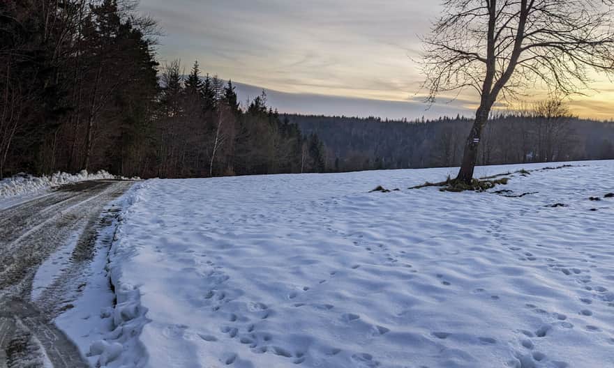
Descent from Parszywka to Bogdanówka
To return from Parszywka to Bogdanówka, we can go down the access road to the Wrzosowy Dwór Restaurant (it's about 2.5 km, the descent will take us about 40 min.), or we can continue further east following the yellow signs. Then, after a short walk through the forest, we will hit another scenic clearing above the Więciórka Polana settlement. Here awaits us another panorama of the Tatra Mountains:
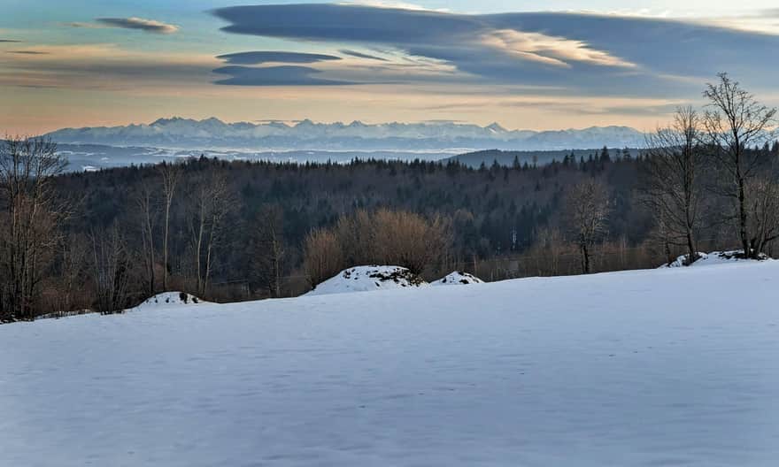
...as well as a view to the north-east: the neighboring Pasmo Babicy, Barnasiówka, Kotoń. From here, we can even see Krakow.
Descending towards the buildings, at the chapel of St. Anna, we will meet the signs of the black trail from Bogdanówka, which connects with the yellow trail at this point.
Following the black trail along the wide access road, we descend to Bogdanówka. The descent from the chapel of St. Anna to the center of Bogdanówka on the black trail is about 4 km, i.e. about 1 hour of walking.
PS. We have included this route in the article "Mountain routes for family walks near Krakow":
Mountain trails for family hikes near Krakow
Where to go from Krakow for a short mountain trip? Hundreds of kilometers of hiking trails south of the capital of Małopolska. ...
And "Top 10 Short mountain trails for winter near Krakow":
TOP 10 Short mountain trails for winter near Krakow
Short mountain hikes on short winter days? We have a few ideas for you for short routes with good and quick access from Krakow. Perfect for winter family walks! ...
Get to know the rest of them!


Publish Date: 2024-01-13
More in the Region Beskid Makowski (Beskid Makowski)
Total Length 96 km