From Myślenice to Mount Chełm (648 m above sea level) - green trail
beach_access Route in the shade
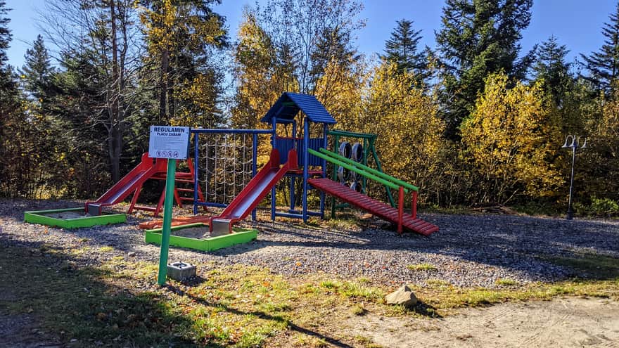
sports_basketball Playground along the route
sports_tennis Attractions for children
Myślenice - Zarabie
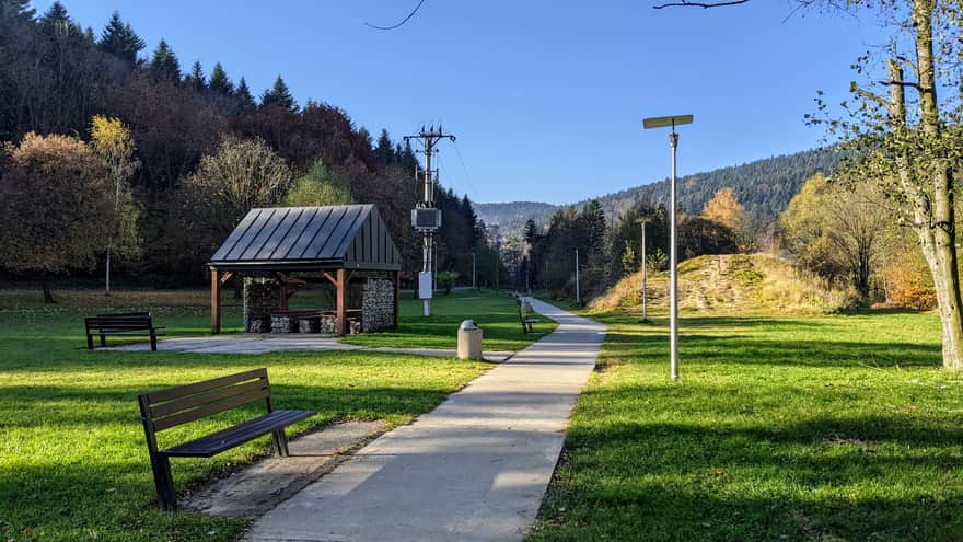
The beginning of the route is a pleasant walk along Zarabie - a recreational park area located in the Raba Valley. We head from the roundabout in Myślenice towards its western part. Along the way, we will find playgrounds, hammocks, benches, and even places for barbecues. From here, we can also take one of the longest chairlifts in Poland up to Mount Chełm! (information and schedule: https://kudlacze.pttk.pl/kolej.htm).
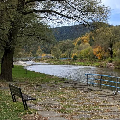
Zarabie (recration area) and Chełm Summit - Myślenice
...
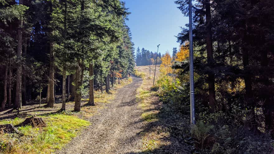
Green trail to Mount Chełm
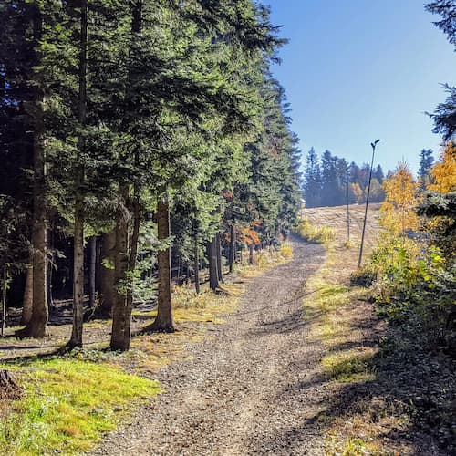
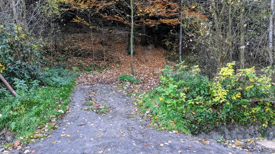
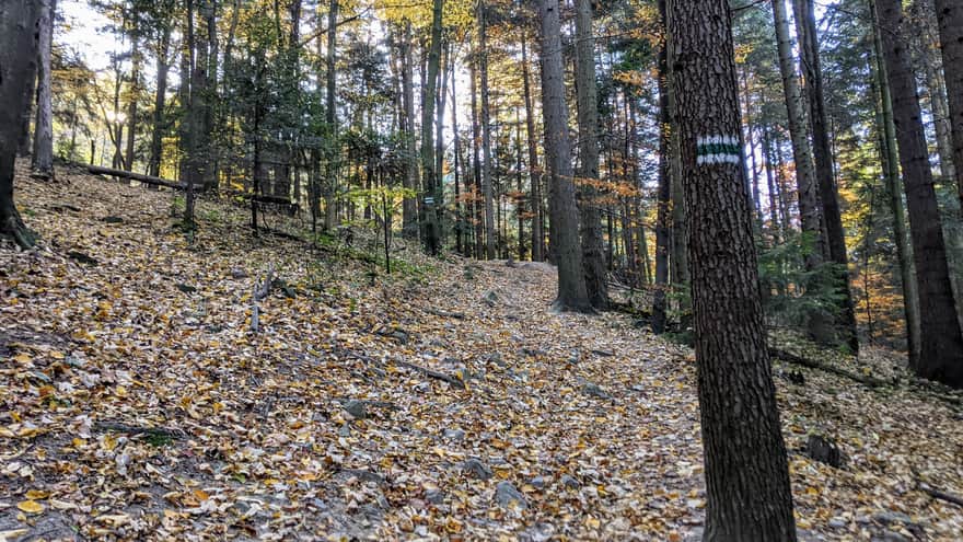
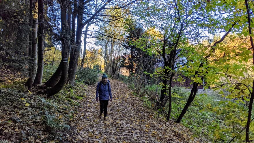
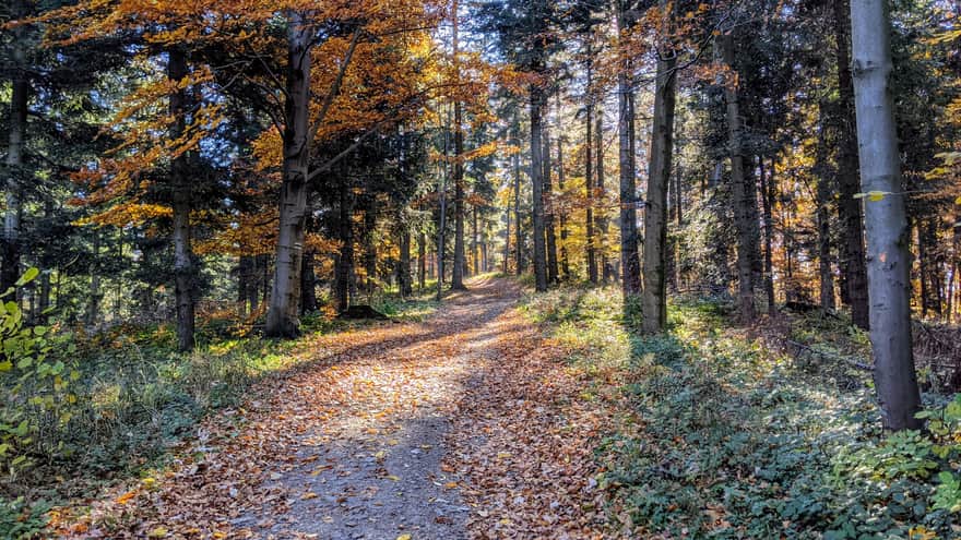
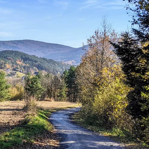
However, if we decide to hike, from the western part of Zarabie, the green trail turns into the forest and immediately starts climbing steeply uphill on a narrow, forest path. The trail is winding, and the path is not always clearly visible, but numerous trail markers prevent us from getting lost.
View of Uklejna
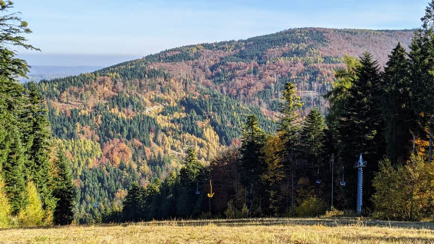
Ahead of us, there is a view of the Uklejna mountain range - another peak towering over Myślenice. According to legend, a bandit named Uklej roamed these forests, from whom the mountain took its name. At the foot of the mountain, there are ruins of a medieval defensive stronghold.
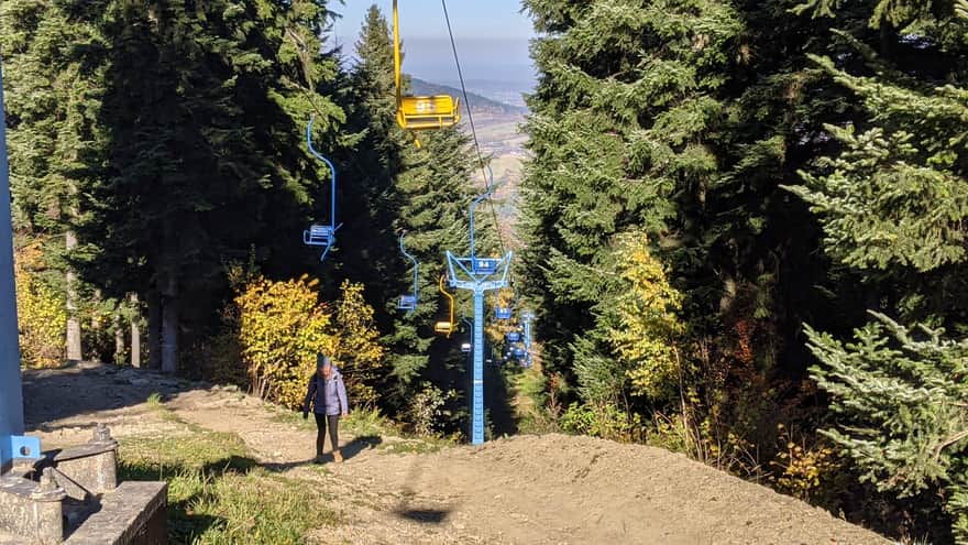
Final approach along the chairlift
In the final section of the route, we reach the cable car and walk along its course. Above us, the chairs move, and we can breathe a sigh of relief - the worst part of the ascent is behind us!
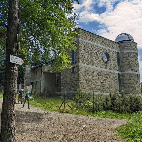
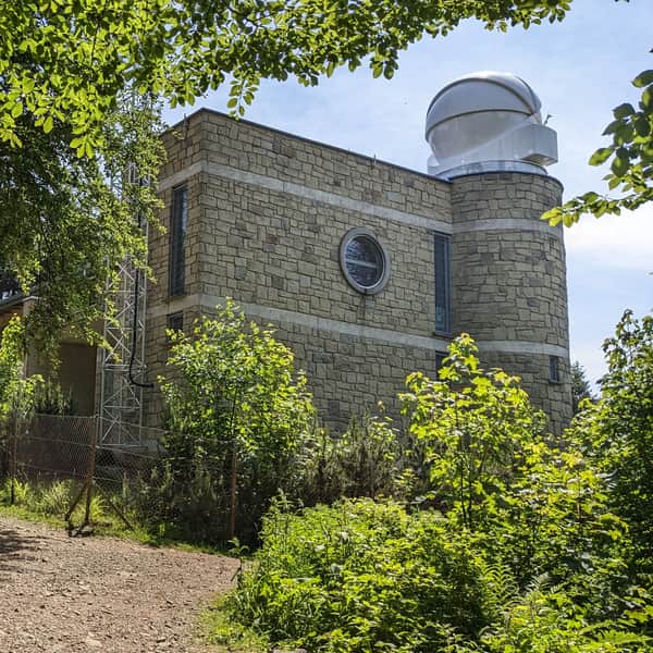
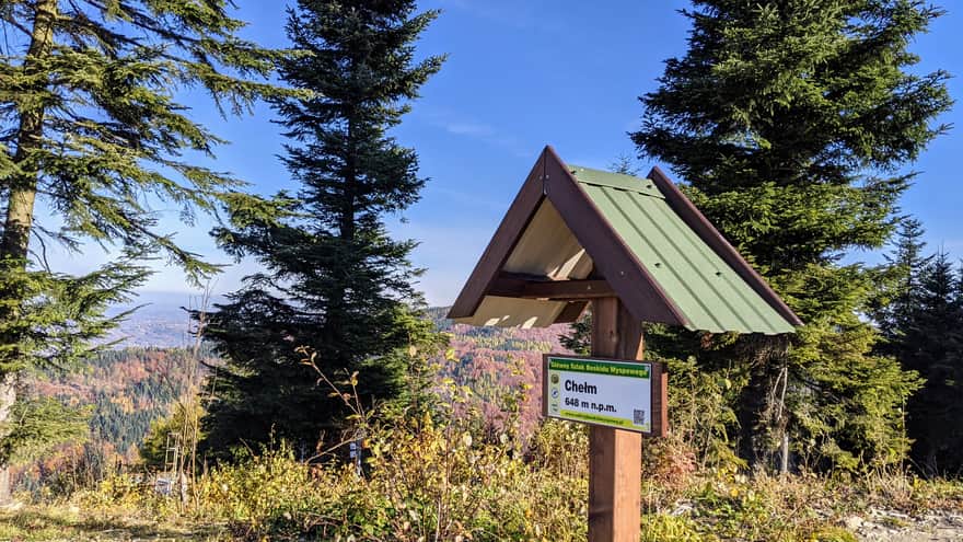
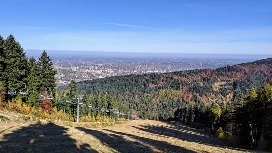
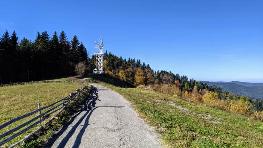
Mount Chełm
This summit rises above Myślenice and is accessible from Zarabie by the longest chairlift in Poland! At the top of Mount Chełm, there is an observation tower, a playground for children, benches, and a fast-food restaurant. In winter, there is a ski resort here.
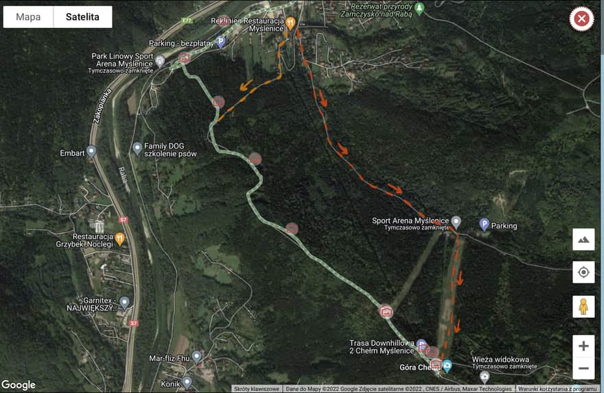
Alternative paths to Mount Chełm
Our reader Mr. Krzysztof suggested alternative paths from Myślenice to Mount Chełm:
The first one (marked in orange on the map) allows us to bypass the steep forest section (which can be muddy in bad weather) and joins the green trail. We walk along Jodłowa Street to the lower station of the chairlift and then enter the forest path.
The second one (marked in red on the map) leads along Leśna Street to the slope, and then we gain altitude along the ski slope until we reach the top of Mount Chełm.
We are on top of Mount Chełm - what next?
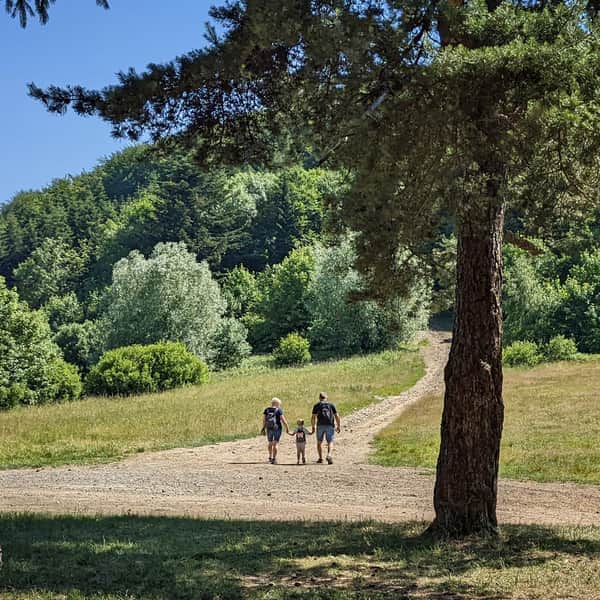
On the top of Mount Chełm, there is a winding asphalt path (green trail) that initially leads us to the observation tower and then to the Myślenice-Chełm hamlet, a peaceful path perfect for a family walk. If we continue further, the path enters the forest and leads to the summit of Działki - although it becomes wider, it becomes rocky and muddy in places after rain. We can follow it all the way to the Kudłacze Shelter - the shelter closest to Kraków.
Easy
From Mount Chełm to Kudłacze Shelter

See also:
Medium
Nature Reserve "Zamczysko nad Rabą" - Route from Myślenice

Medium
From Myślenice to Kudłacze - red trail

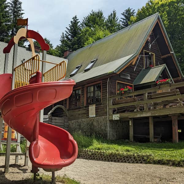
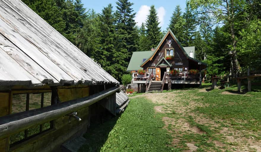
PTTK Shelter on Kudłacze Meadow
PTTK Shelter at Kudłacze - so close to Krakow that you can visit for an afternoon family walk. ...

Publish Date:
Last Updated:
More in the Region Beskid Makowski (Beskid Makowski)