From Myślenice to Kudłacze - red trail
Nearby: Myślenicebeach_access Route in the shade
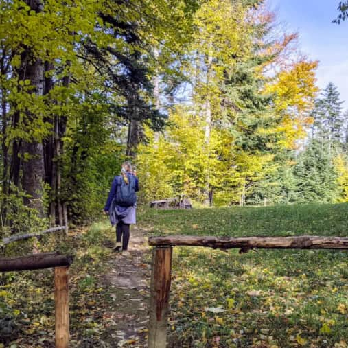
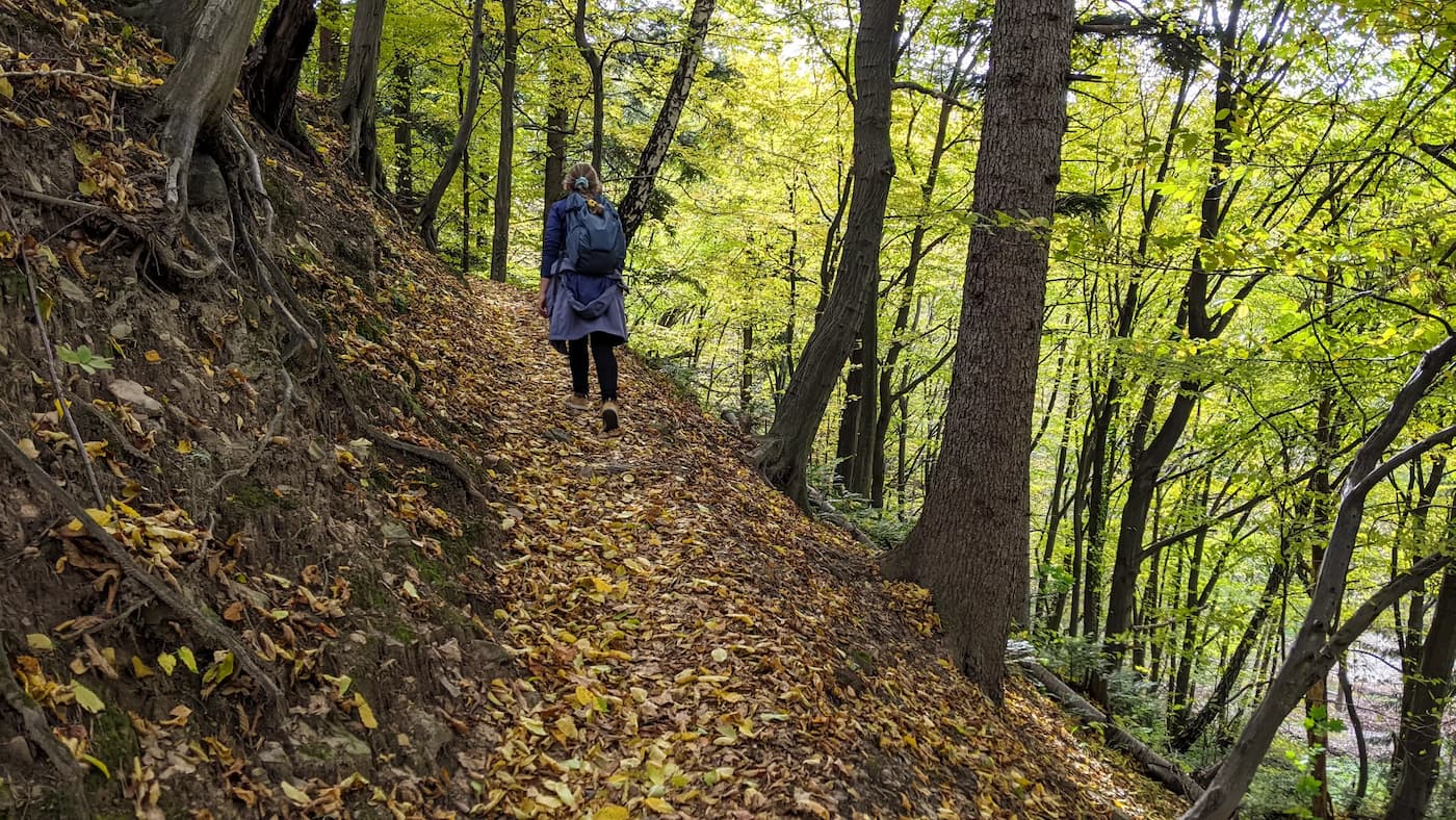
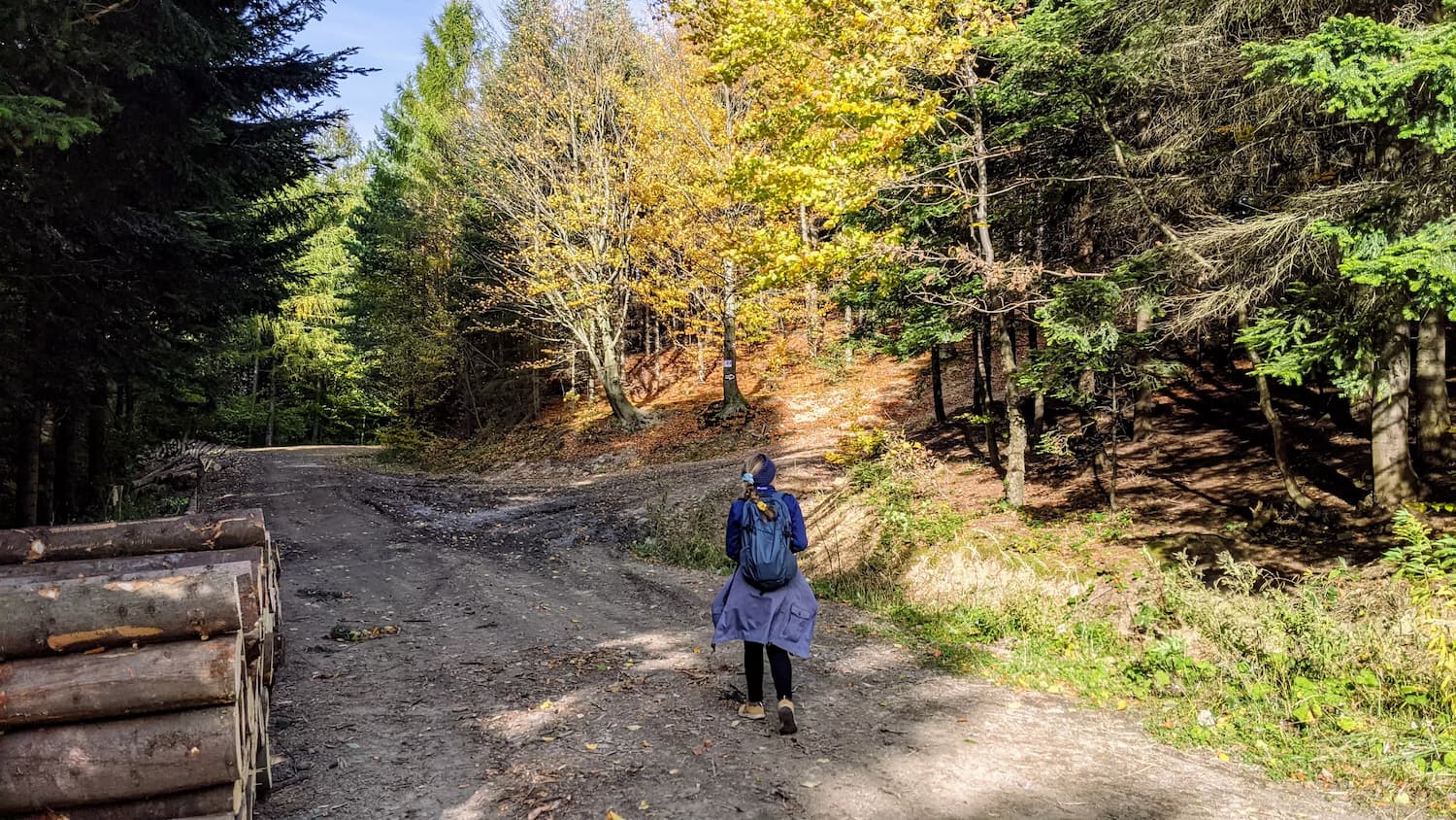
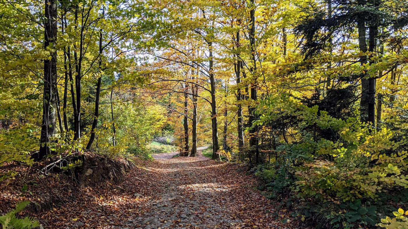
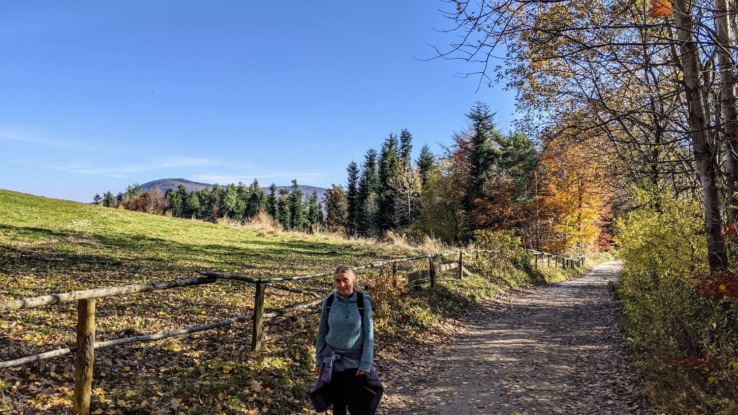
The trail is very diverse - it leads through forest paths, can be steep, sometimes very narrow and rocky. After rain, the trail may not be suitable for passage. Along the way, we pass the nature reserve "Zamczysko nad Rabą". On the route, we traverse the Uklejna mountain and conquer 2 other peaks: Śliwnik (618 m above sea level) and Działek (600 m above sea level) - in total, we overcome a height difference of 740 m - that's quite a lot, and the trail is not short! If you would like to limit the ascent a bit and walk more comfortably on a wider road (although slightly longer), we recommend the alternative route:
Medium
Easiest route from Myślenice to the Kudłacze shelter

And for wanderers and enthusiasts of off-road adventures, below is the description of the red trail:
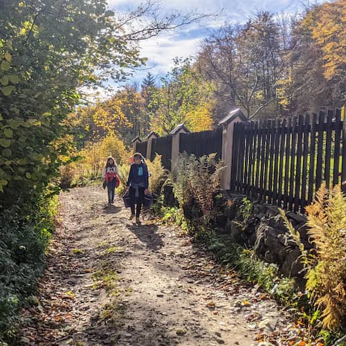
Start of the Red Trail
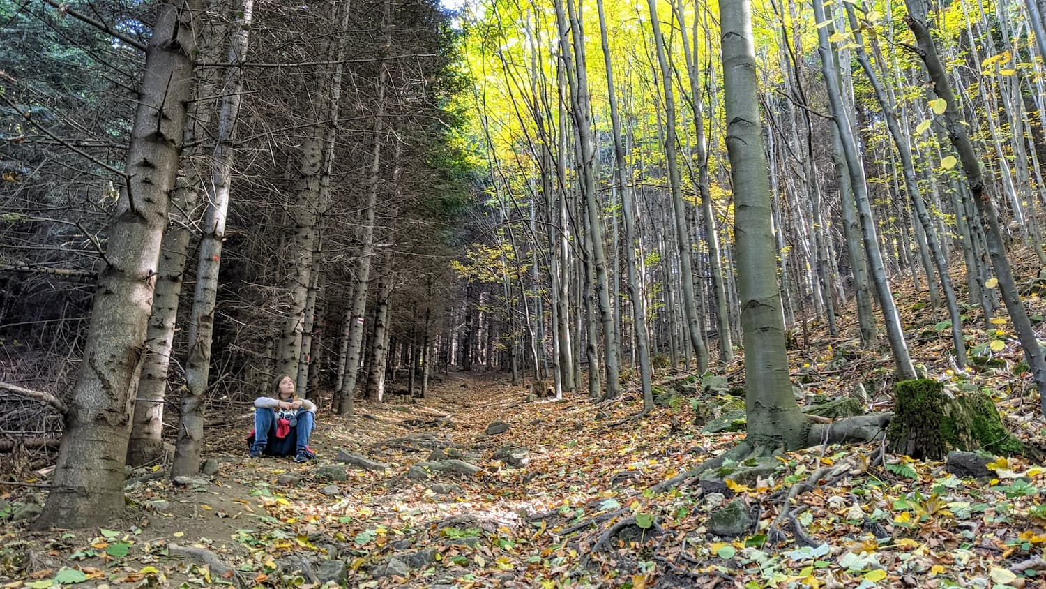
The trail starts in Myślenice, at the end of Zamkowa Street. From the beginning, it leads us up a steep forest path towards the "Zamczysko nad Rabą" nature reserve. The ascent is steep, narrow, but short, and we quickly reach the ruins of the former castle.
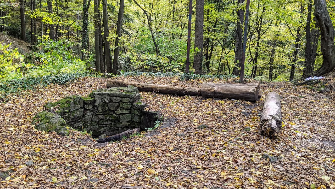
"Zamczysko nad Rabą" Nature Reserve in Myślenice
In the past, a trade route from Kraków and Wieliczka to Hungary ran at the foot of Uklejna hill. The ruins located on the hill are remnants of a defensive fortress built here in the 13th century, which was intended to protect the route. Its main element was a stone guard tower. There are also remains of the former moat, over which there was a drawbridge. The entire fortress used to be surrounded by a palisade.
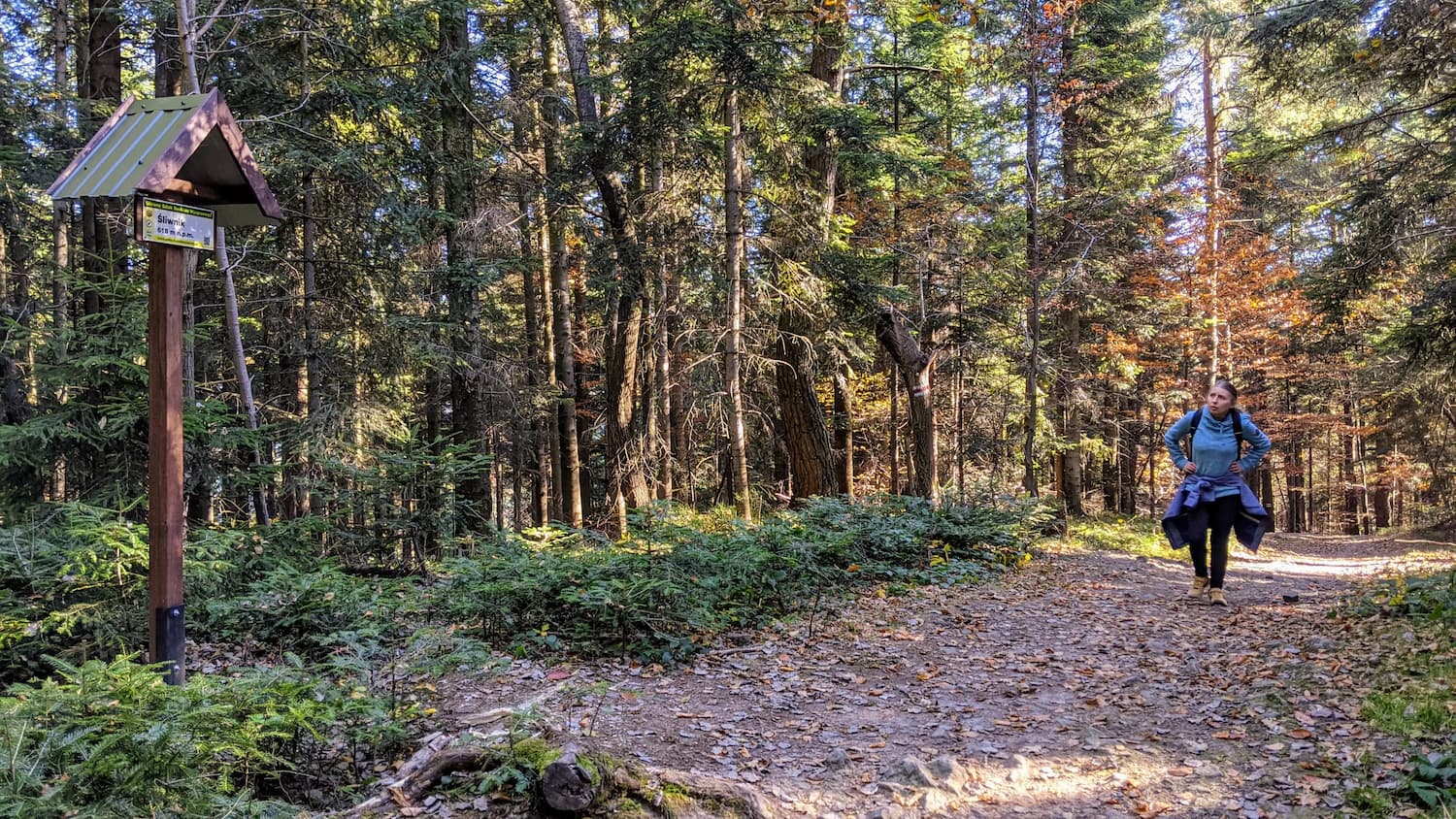
Climbing to Uklejna
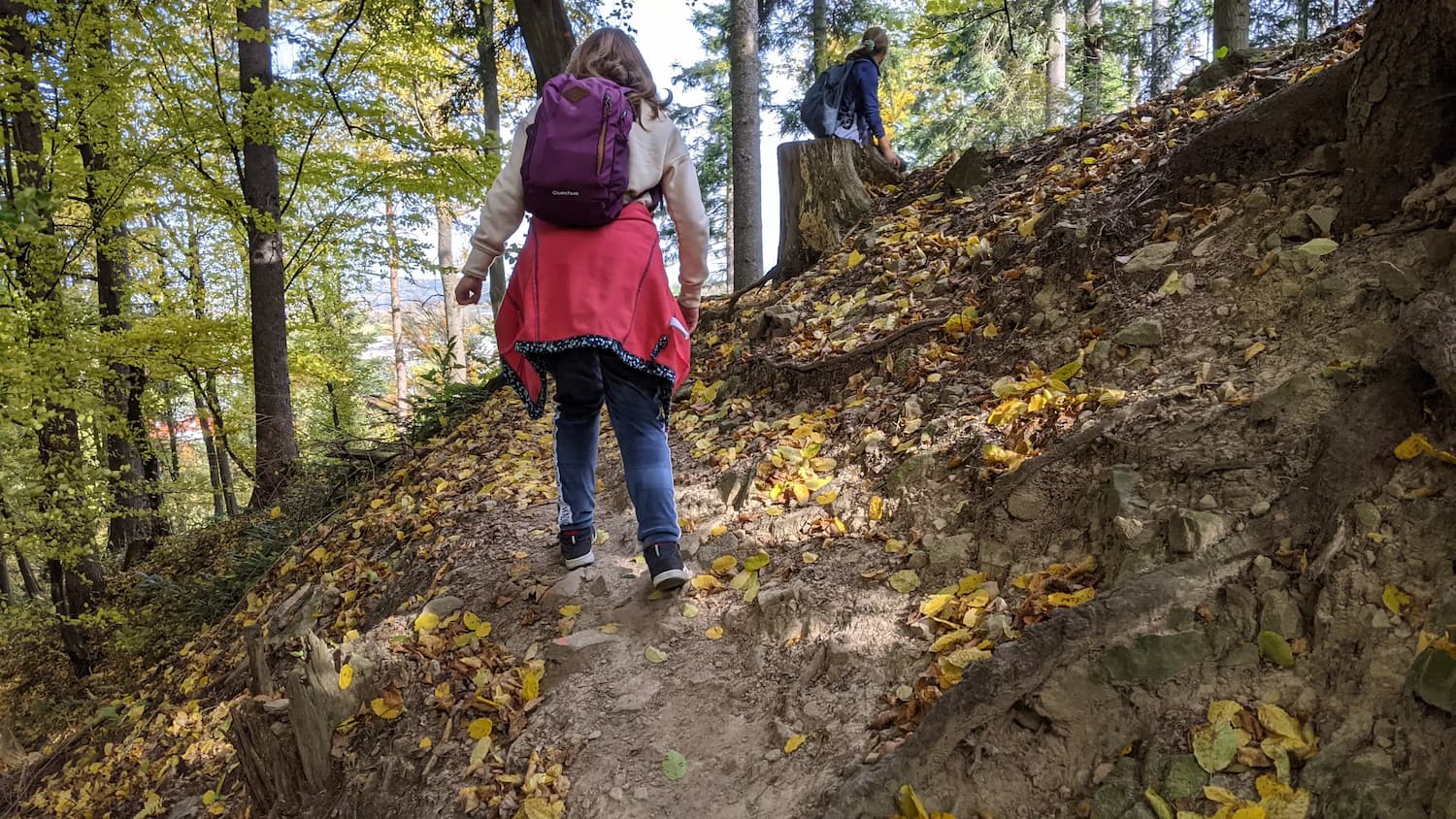
After passing the "Zamczysko" reserve, a steep and quite laborious climb awaits us towards Uklejna mountain. Although the red trail bypasses the summit itself, there is still quite a bit of climbing, and it can be tiring. The path uphill is also very rocky. Along the way, we also pass two smaller peaks - Śliwnik and Działek.
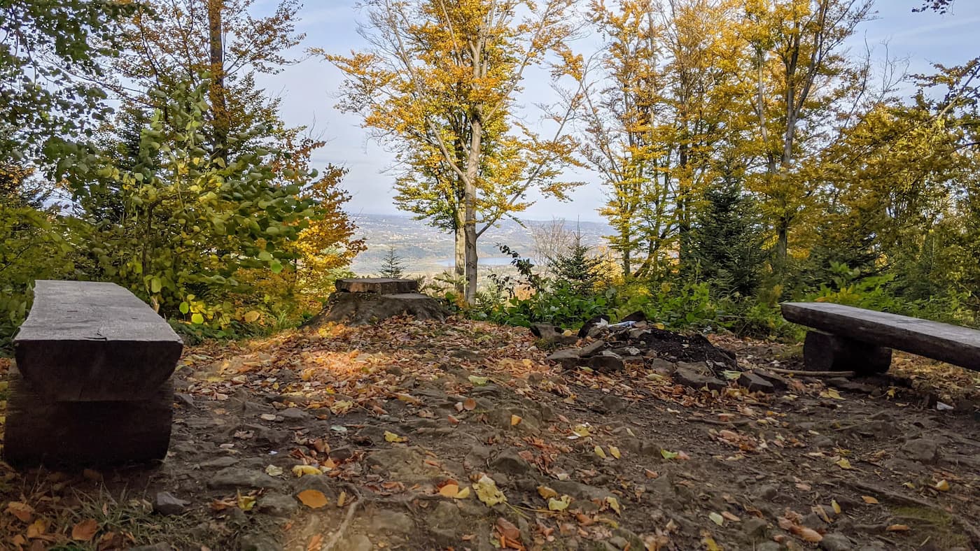
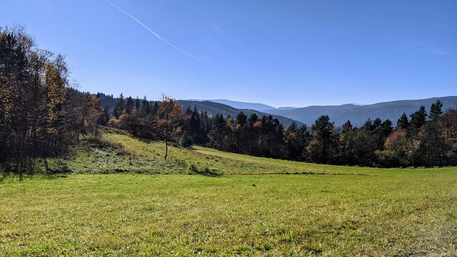
Further on, we reach the Działek peak, where we will find a place to rest and clearings.
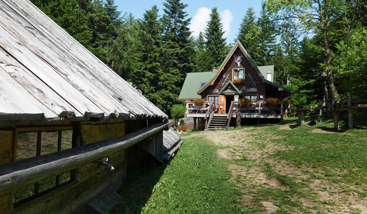
Kudłacze Shelter
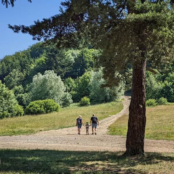
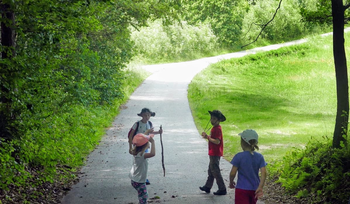
Phew, finally the destination of the trip! A cozy, small shelter - and closest to Kraków! Here we can have a warm meal and rest. Children will find a playground near the shelter, and we can have a bonfire.
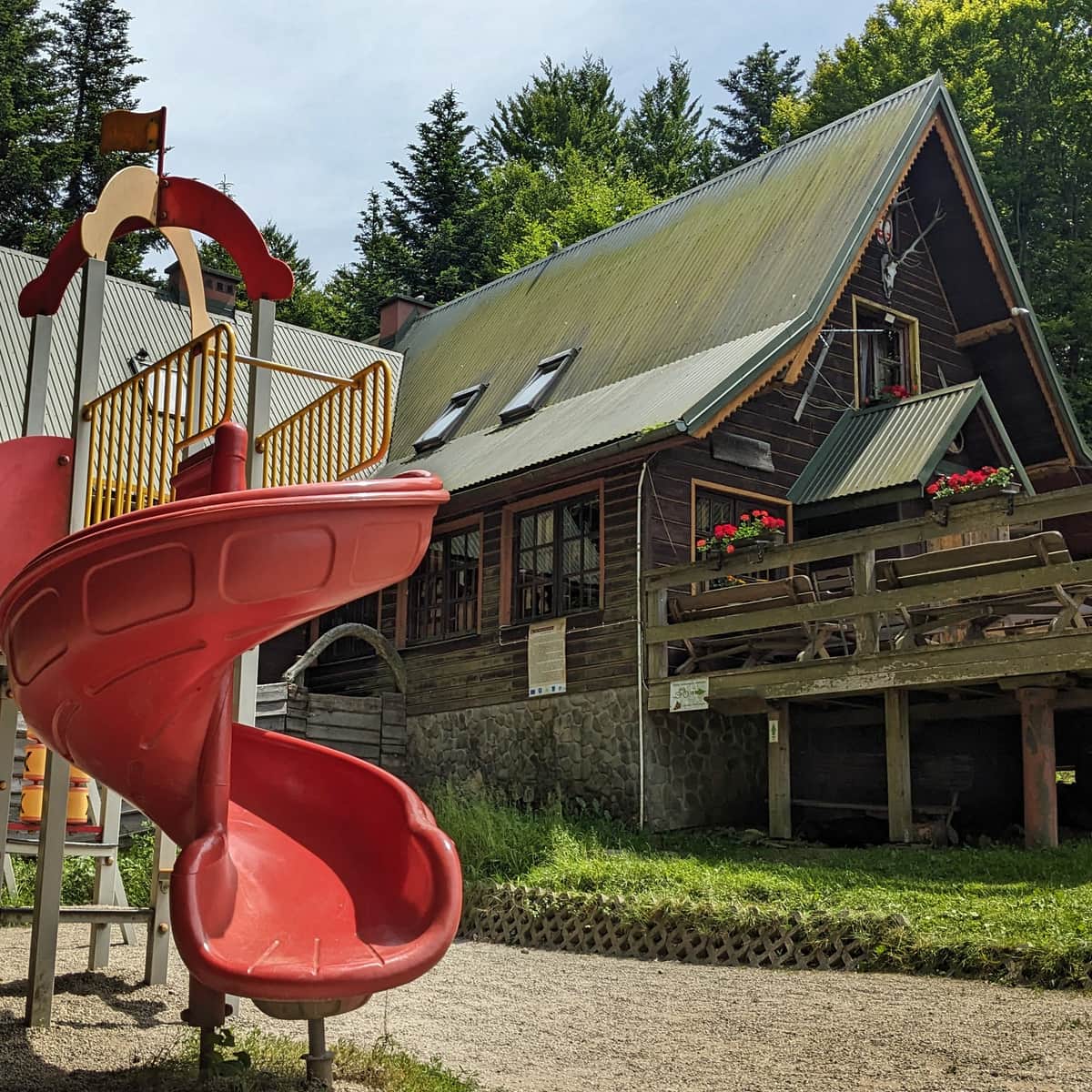
PTTK Shelter on Kudłacze Meadow
PTTK Shelter at Kudłacze - so close to Krakow that you can visit for an afternoon family walk. ...

Publish Date:
More in the Region Beskid Makowski (Beskid Makowski)