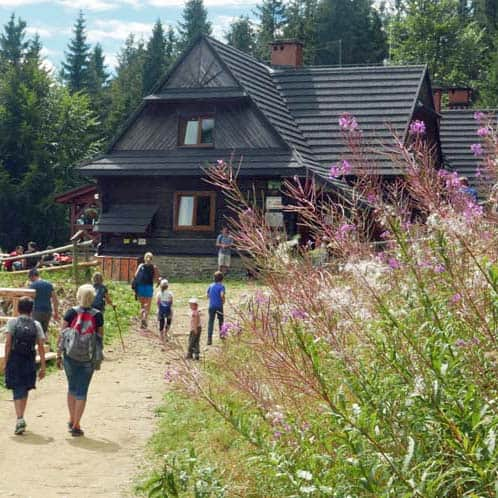
The PTTK Shelter on Hala Krupowa - trails, views, curiosities
- -34 - 236 Sidzina
check_circle In a room
check_circle Sloping terrain
check_circle Restaurant or bar nearby
check_circle Restroom available
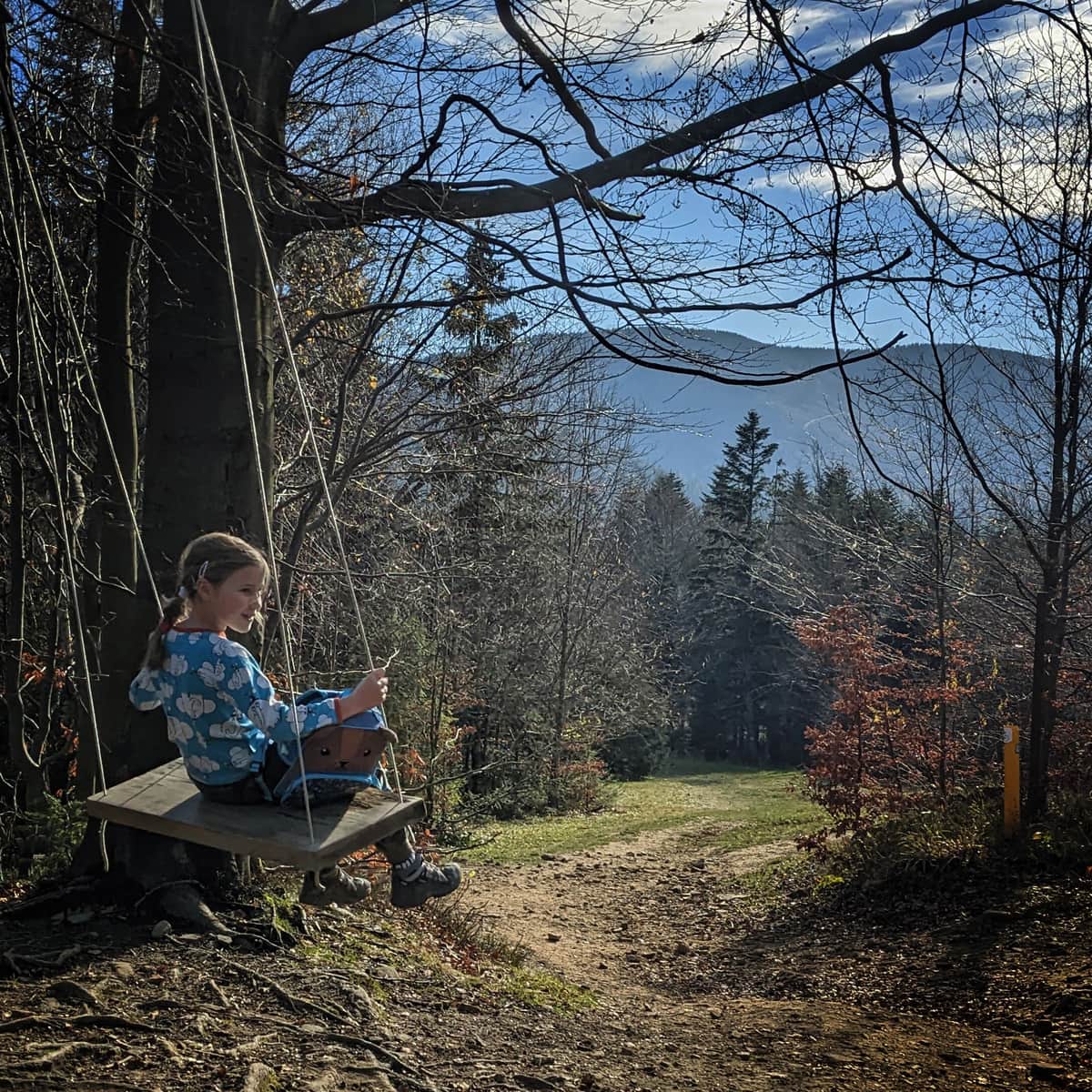
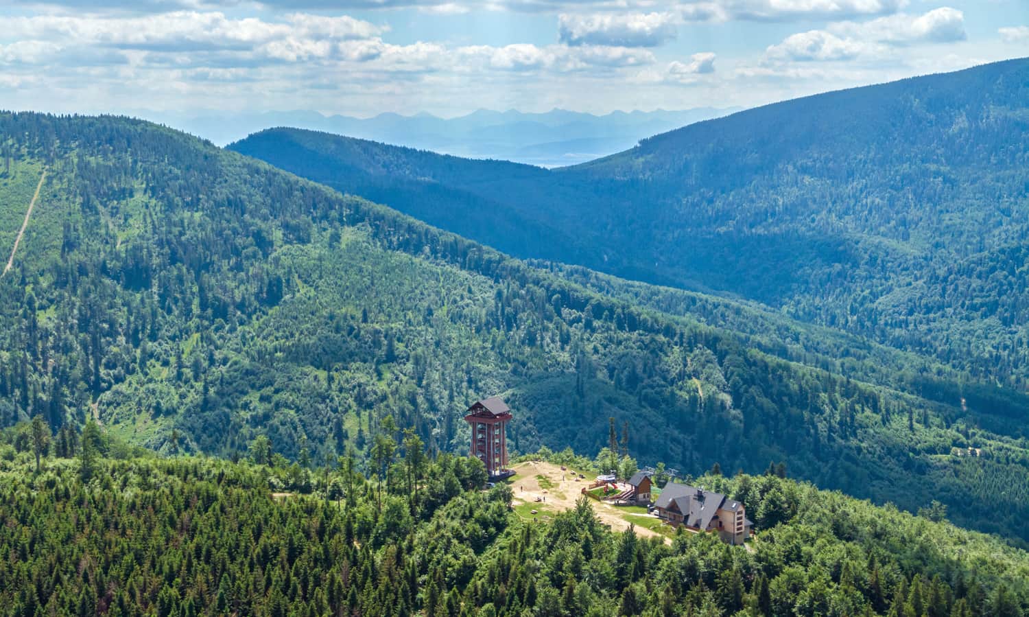
The PTTK Shelter on Hala Krupowa is a picturesque and scenic place in the Żywiec Beskids, near the summit of Policy (1369 meters above sea level). It can be a destination for a mountain trip or a stop during a longer hike through the Polic Range.
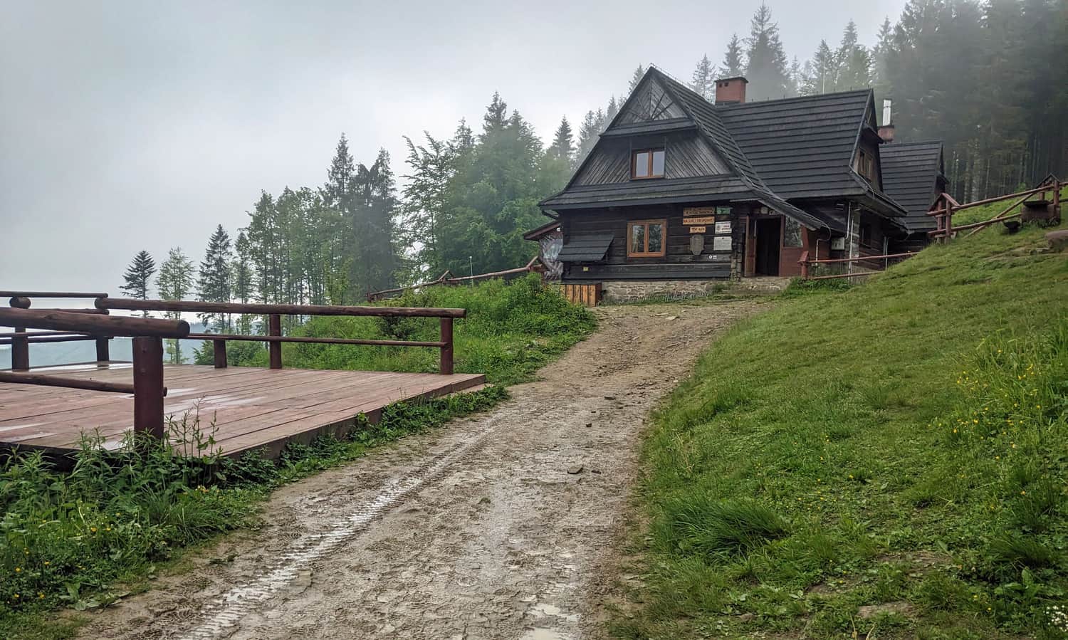
The Shelter on Hala Krupowa - attractions, views
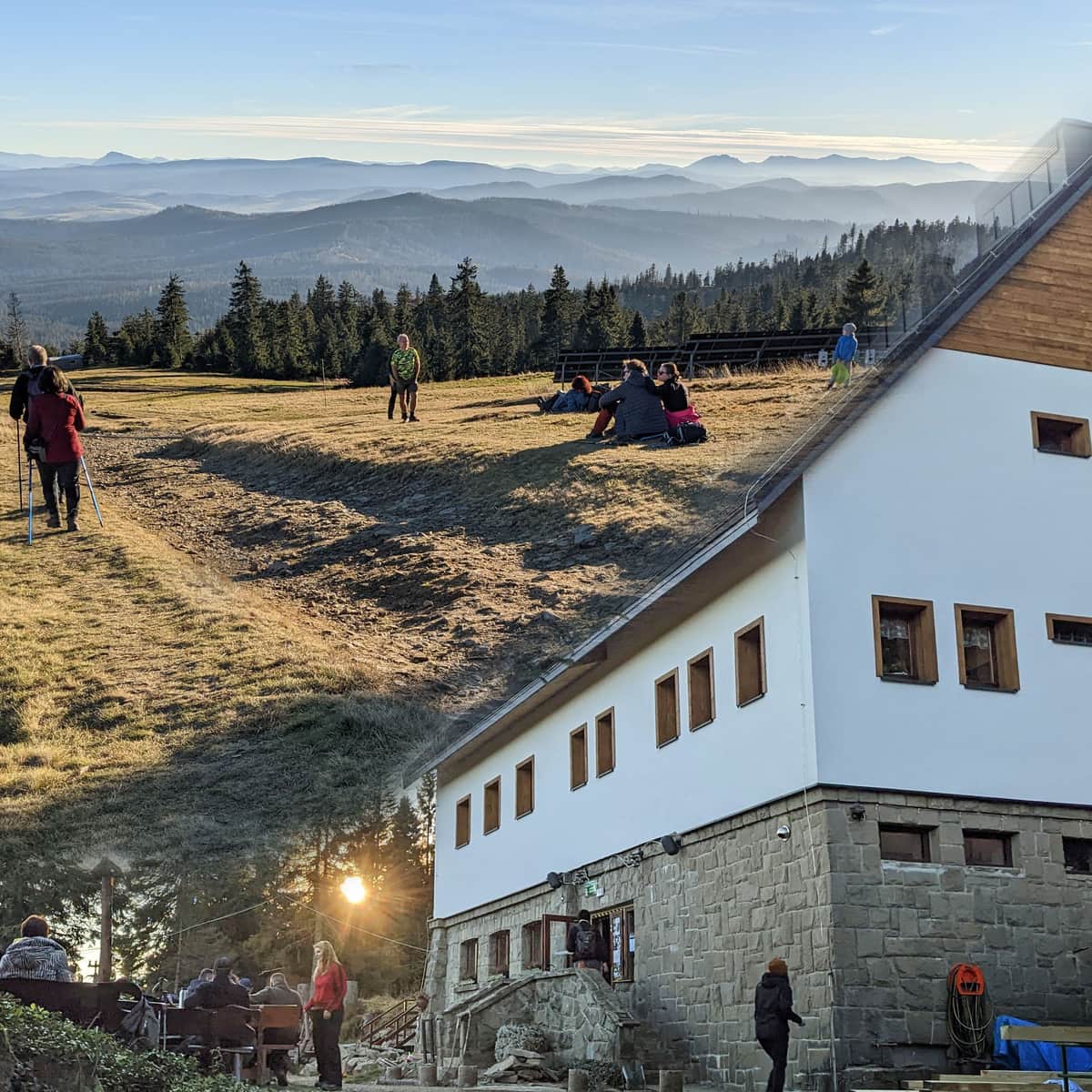
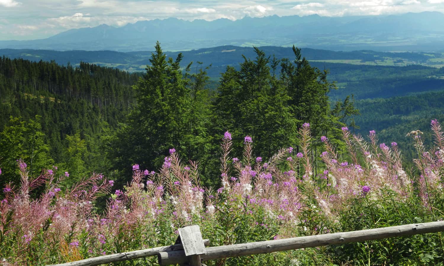
Undoubtedly, the main attraction of the shelter on Hala Krupowa (besides the opportunity to rest, have a warm meal, and spend the night) is the beautiful panorama of the Tatra Mountains. Here is how they present themselves in all their glory:
During the summer season, there is a cultural grazing of sheep on the neighboring meadow, right next to the shelter. In the shepherd's hut, you can buy fresh products, primarily oscypek cheese, but not only!
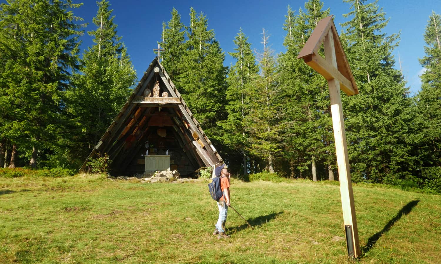
The Chapel of Our Lady, Guardian of Tourists on Okrąglica
In addition to the shelter, you can also visit the secluded and very picturesque Chapel of Our Lady, Guardian of Tourists. From the shelter on Hala Krupowa, you can reach it in about 30 minutes via the red trail (1 km along the red trail to the east, then turn left onto an unmarked path along the power line).
From the Shelter on Hala Krupowa to Policę
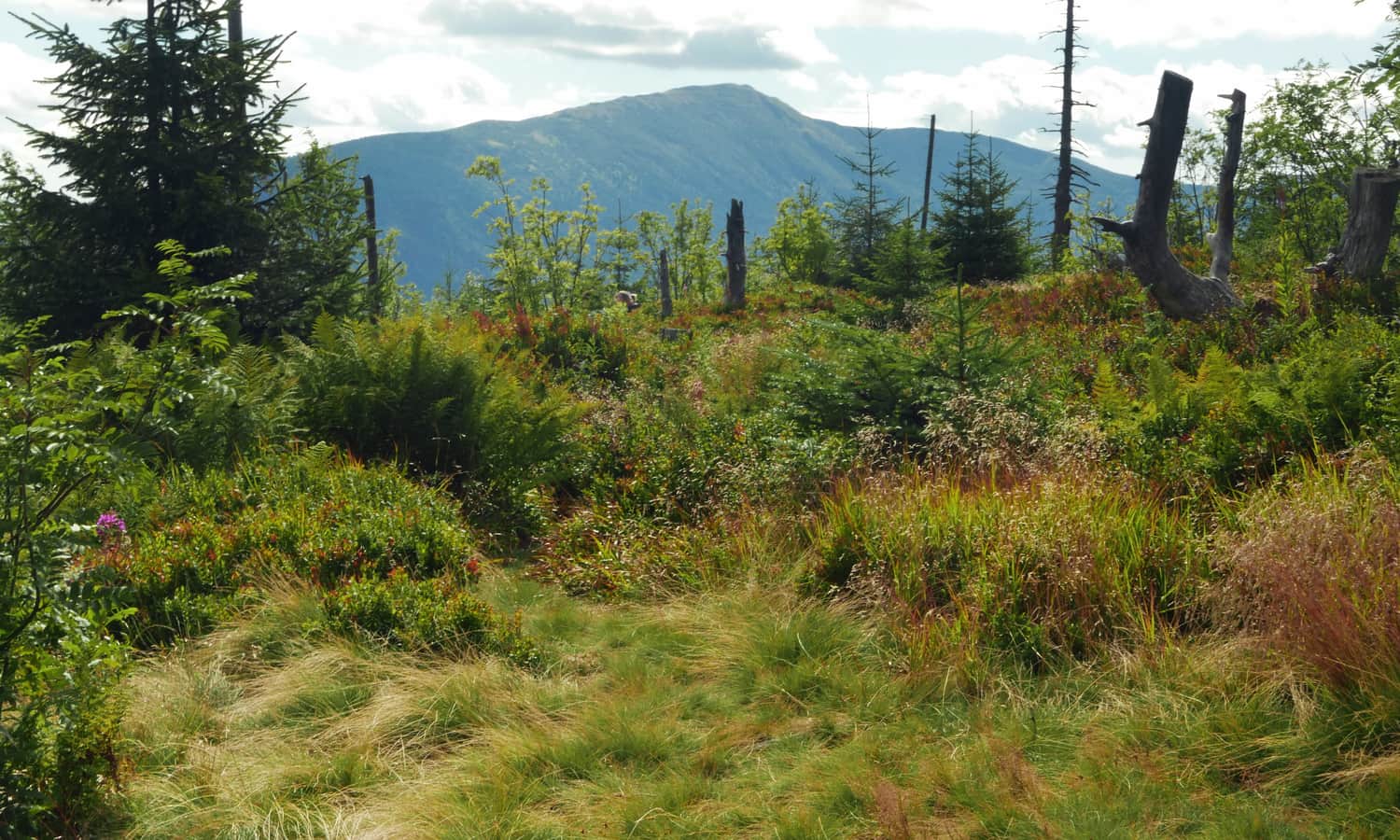
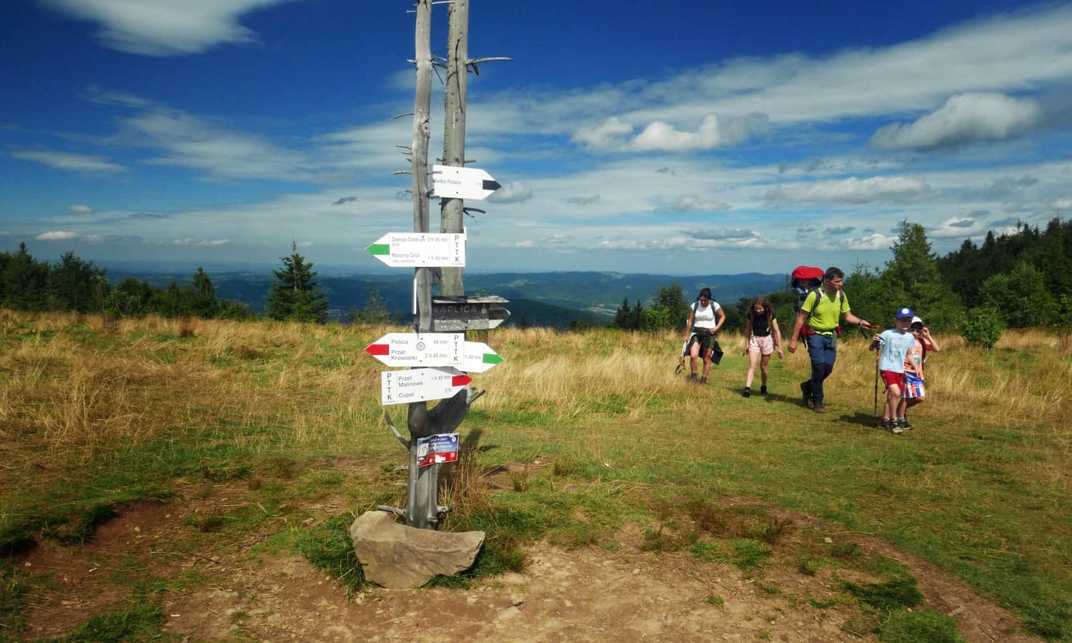
For many tourists, the shelter on Hala Krupowa is a stop on the way to Policę, the highest peak of the Polic Range, reaching 1369 meters above sea level. From the shelter, you can reach it in about 1 hour via the red trail, covering a distance of 2.5 km and an elevation difference of approximately 230 meters. From the summit of Policy, which is protected by two reserves, you can see, among other things, Babia Góra.
If you are short on time or energy to reach Policę, make sure to visit Kocia Łapa (also known as Jasna Góra), a scenic meadow just above Kucałowa Pass, to the right of the red trail to Policę.
How to reach the Shelter on Hala Krupowa?
There are several routes leading to the Shelter on Hala Krupowa: from the north, from Zawoja and Skawica, as well as from the south - from Sidzina. You can also reach it from Przełęcz Krowiarki or even from the Skawa Valley: from Bystrej Podhalańska, Osielce, and Kojszówka.
The Shortest Trail to the Shelter on Hala Krupowa
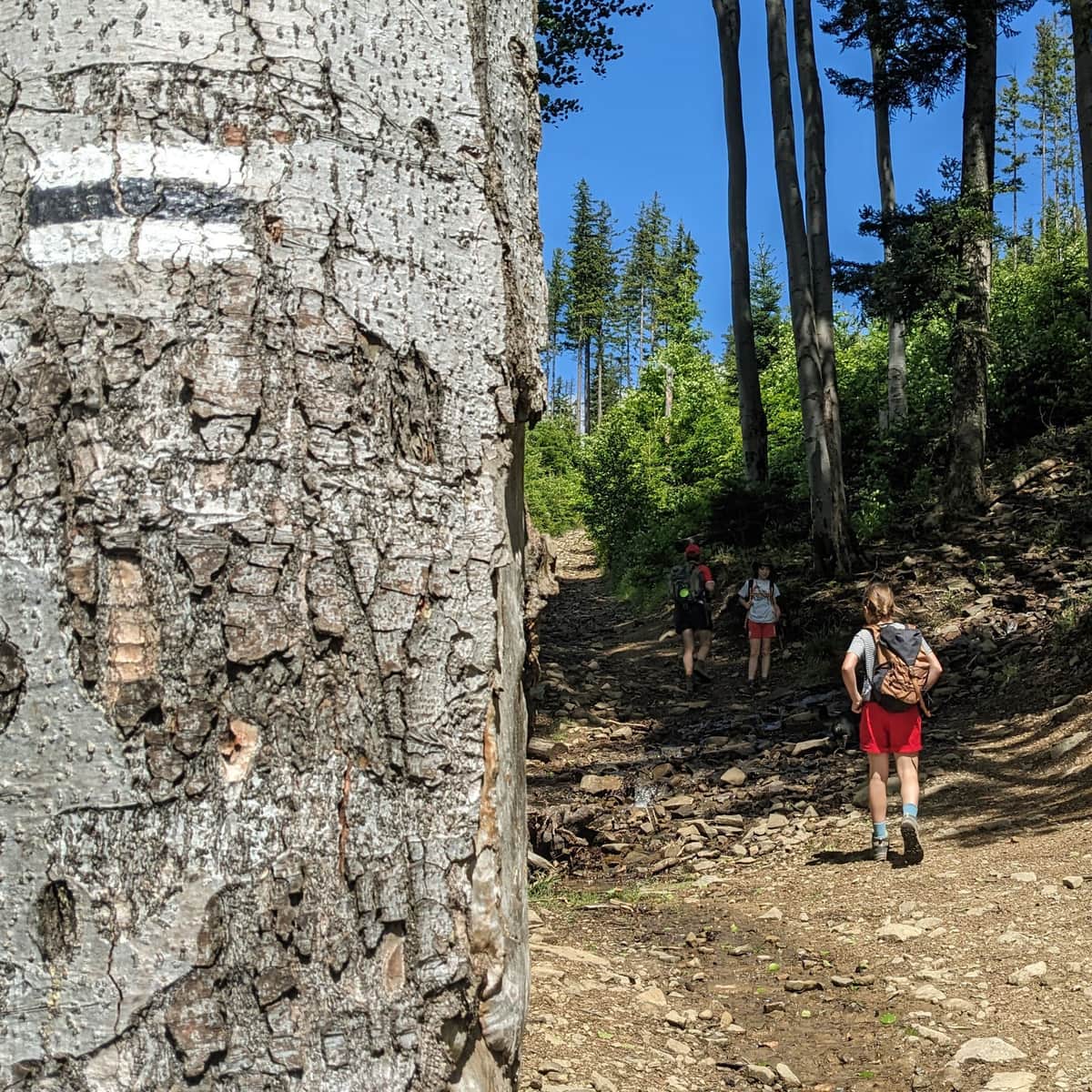
In terms of distance, the shortest trail to the Shelter on Hala Krupowa is the blue trail from Skawica. From the parking lot in Sucha Góra housing estate, you only need to hike 3 km to reach the shelter. However, be aware that it will be steep! On this trail, you will ascend almost 500 meters in elevation!
Medium
From Skawica to Hala Krupowa and Policę

The Easiest Trail to the Shelter on Hala Krupowa
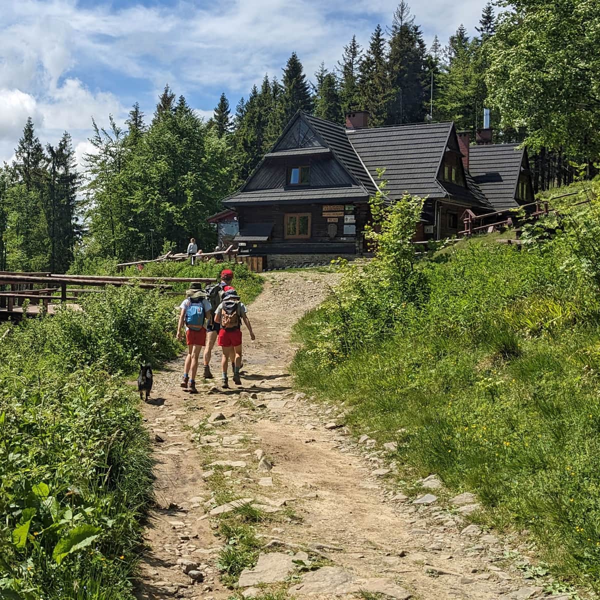
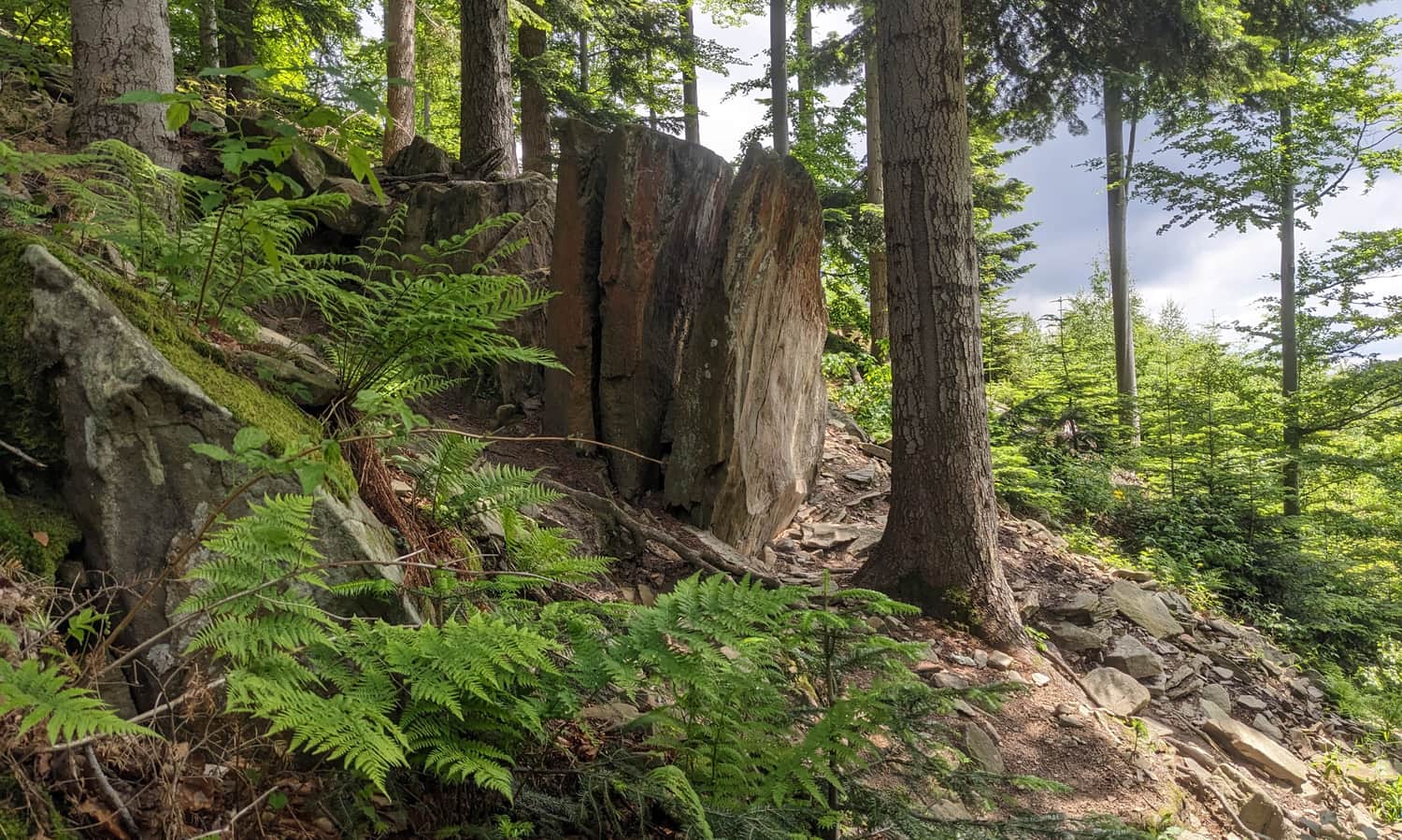
A slightly longer trail (3.5 km), but easier due to a smaller elevation difference to overcome (only about 400 meters) and no steep ascents, is the black trail from Sidzina Wielka Polana. Along this trail, you will pass an interesting rock formation. Another advantage is that when leaving Sidzina, you can return to the shelter via a different trail (green trail).
Medium
The easiest trail to the shelter on Hala Krupowa - black from Sidzina

Other Trails to the Shelter on Hala Krupowa
- Green from Zawoi Centrum - 10.5 km, 810 m elevation gain, about 4 hours one way;
- Yellow from Juszczyn Górny - 8.7 km, 800 m elevation gain, about 3.3 hours one way;
- Green from Sidzina (Dom Wczasów Dziecięcych) - 5 km, 560 m elevation gain, about 2 hours and 15 minutes one way;
- Blue from Sidzina (Dom Wczasów Dziecięcych), via Judaszka, Soska, Krupówka, and Urwanica (red trail) - 11 km, 690 m elevation gain, about 4 hours one way;
- Blue from Przełęcz Zubrzycka to Policę and then red to the shelter: - 6 km, 560 m elevation gain, about 2.5 hours one way;
- Red from Przełęcz Krowiarki via Syhlec, Kiczorka, and Policę - 9.5 km, 490 m elevation gain, about 3 hours one way;
- Yellow from Zawoja Lajkonik via Mosorny Groń, from Kiczorka red trail via Policę - 9.5 km, 760 m elevation gain, about 3 hours and 45 minutes one way. NOTE! You can shorten and make the route easier by using the year-round cable car to Mosorny Groń (you will have to cover 7 km and a 400 m elevation difference in about 2.5 hours). An additional attraction along the way is the new observation tower on Mosorny Groń!
- Blue from Zawoja Mosorne. Along the way: a waterfall on Mosorny Potok and an observation tower on Mosorny Groń. From Kiczorka - red trail via Policę. In total: 10 km, 830 m elevation gain, about 4 hours one way;
The trails from the Skawa Valleys are much longer (over 12 km one way), but the advantage is that you can reach them by train.
From Kojszówka (train station), it is 12.5 km (blue + red trail, about 4.5 hours), from Osielce (train station), it is 12.8 km (green + red trail, about 4 hours and 44 minutes), red from Bystrej Podhalańska is 12.5 km (5 hours), or from Jordanów (train station) - 18 km (6 hours).
The PTTK Shelter on Hala Krupowa - facts and curiosities
History of the PTTK Shelter on Hala Krupowa
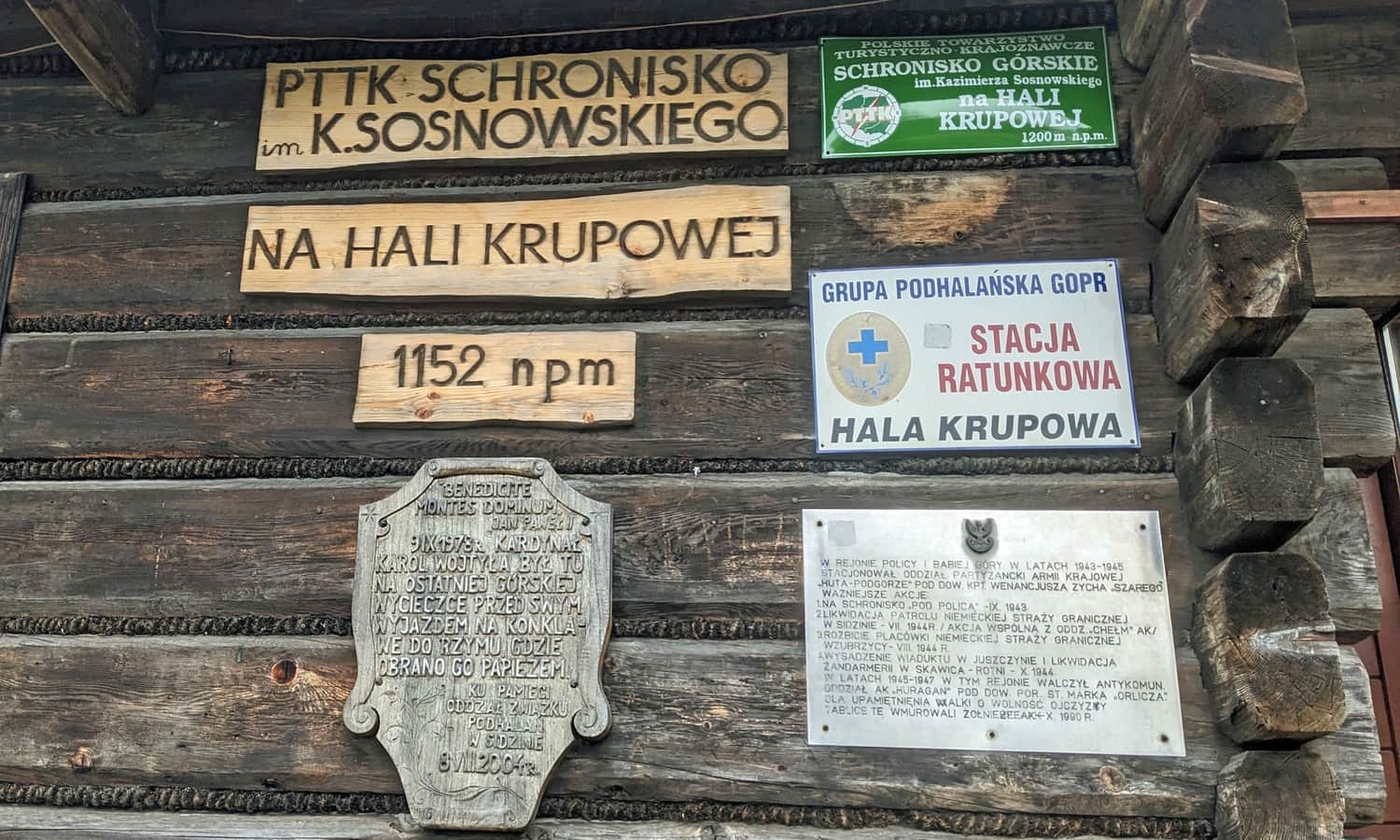
The first wooden shelter was built here in 1935 and was called "Pod Policą" (or "Na Policy"). It was burned down during World War II (partisan raid) and rebuilt in 1955, named after Kazimierz Sosnowski.
On which meadow is the PTTK Shelter on Hala Krupowa located?
Does the question seem illogical to you? Did you know that the PTTK Shelter on Hala Krupowa is not actually located on Hala Krupowa? Hala Krupowa is a clearing on the slopes of Okrąglica, along the green trail from Sidzina to Hala Krupowa. Right next to it is Hala Kucałowa - the one on the ridge where the trails intersect. The shelter itself is located on the edge of Hala Kucałowa, on a meadow called Sidzińskie Pasionki.
Events on Hala Krupowa
Every year, around the anniversary of the reopening of the shelter in October, an event called Gwiaździsty Zlot Turystów Górskich (Starry Gathering of Mountain Tourists) takes place here. On the first Sunday of October, a mass is held at the Chapel of Our Lady, Guardian of Tourists. Additionally, in August, local highlanders gather here for the "Juzyna na Hali" meeting.
Was Pope John Paul II at the PTTK Shelter on Hala Krupowa?
Not Pope John Paul II, but Karol Wojtyła visited here in September 1978. It was his last mountain expedition before being elected pope. The route led from Skawica along the blue trail, through Przełęcz Kucałowa and the shelter, then along the red trail to Policę and further to Przełęcz Krowiarki. On the wall of the shelter, you will find a plaque commemorating this trip and the exceptional guest of the shelter.

Publish Date:
Last Updated: