The easiest trail to the shelter on Hala Krupowa - black from Sidzina
Nearby: Jordanówbeach_access Route in the shade
restaurant Restaurant or bar nearby
directions_car Access by car
directions_bus Can be reached by bus
wc Toilet along the route
The black trail from Sidzina to the PTTK shelter on Hala Krupowa is the easiest route to the picturesque and scenic plateau on the ridge of the Polic Range. After resting at the shelter, we can continue and reach the summit of Policy (1369 meters above sea level).
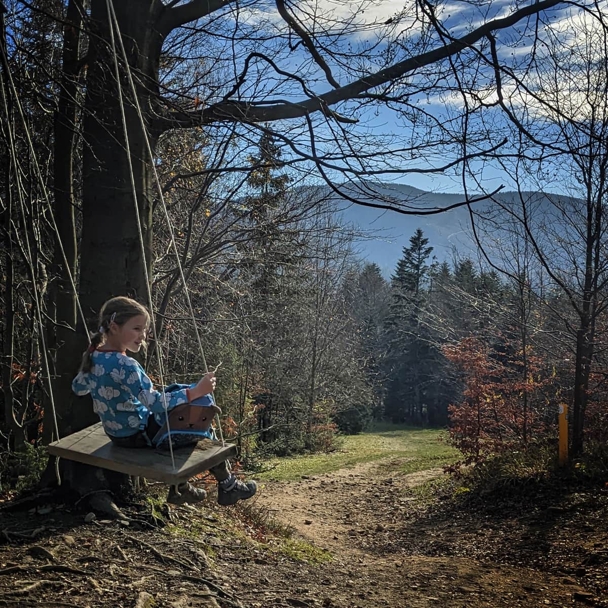
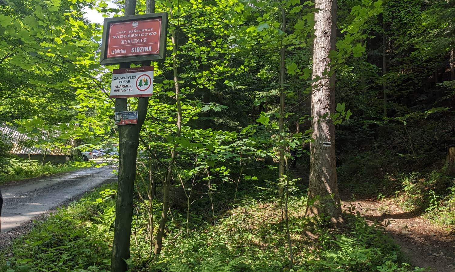
The beginning of the black trail to Hala Krupowa - Sidzina Wielka Polana
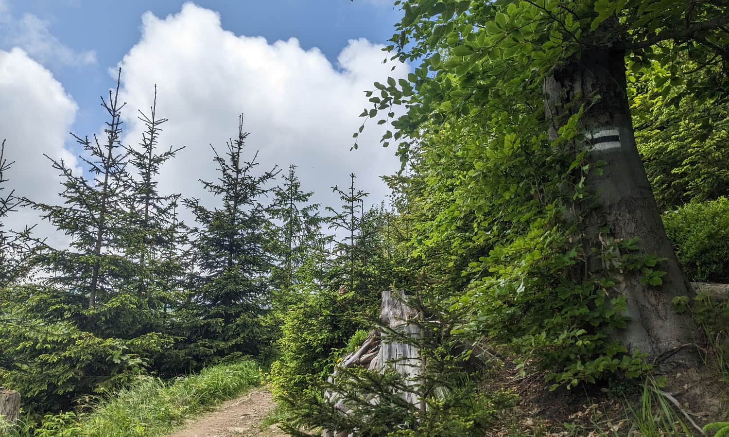
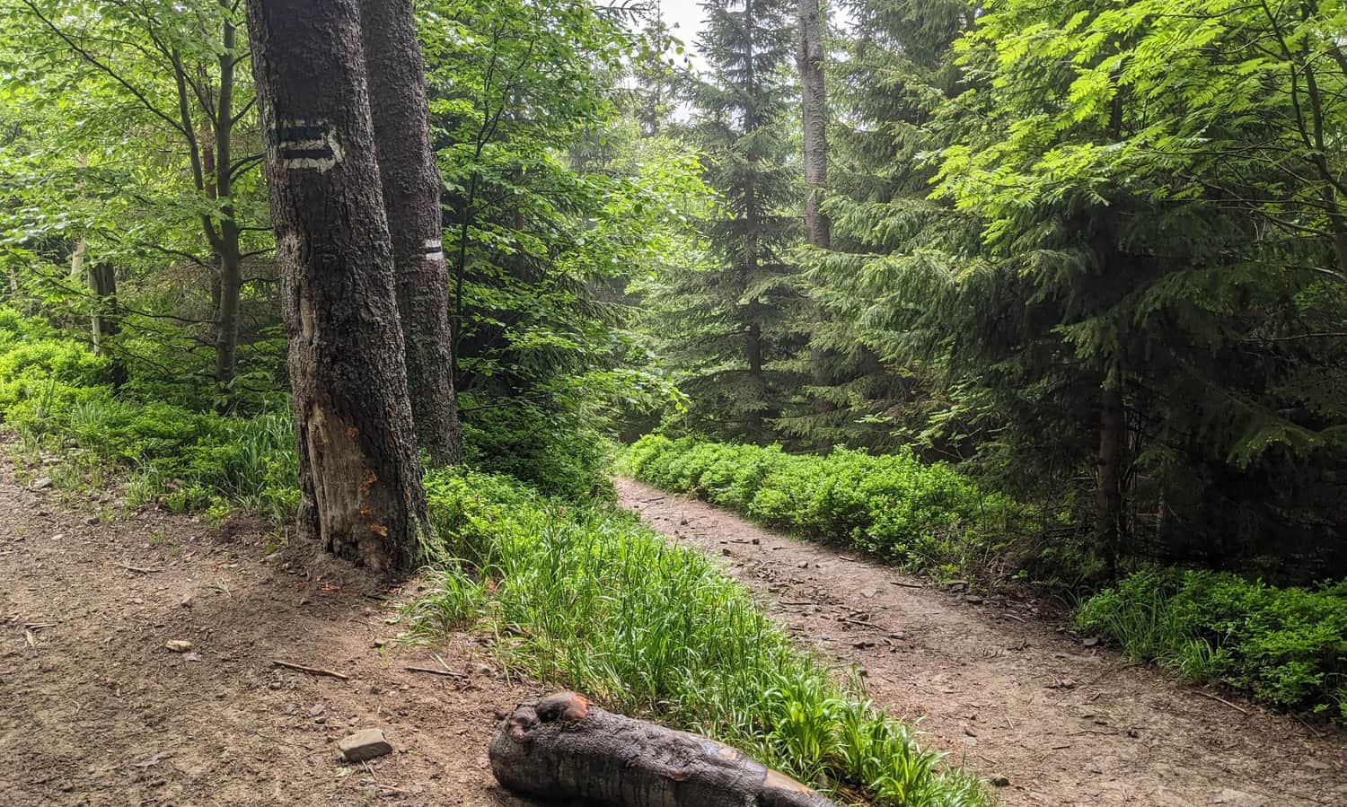
There are two trails leading from Sidzina to Hala Krupowa: the green trail, which is longer and starts near the Children's Holiday House in the center of Sidzina, and the shorter black trail, which requires driving further to the Sidzina Wielka Polana residential area. At the end of the side road, there is a parking lot, shelters, a place for a bonfire, and a toilet. From here, the black trail enters the forest, traversing the slopes of Kordelki.
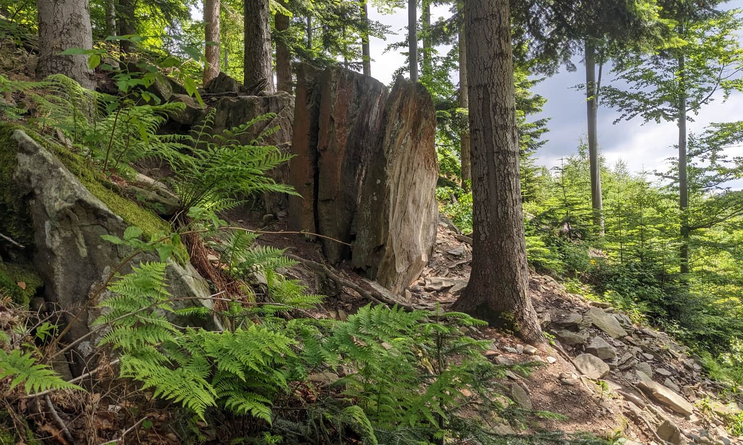
Books of Life - an interesting rock formation
It is worth planning our first stop at the interesting rock formation called "Books of Life," located right next to our trail. Notice that the vertically positioned rock slabs - "books" - are divided into separate parts symbolizing the stages of human life: childhood and youth, mature life, and old age (the lowest rocks on the slope).
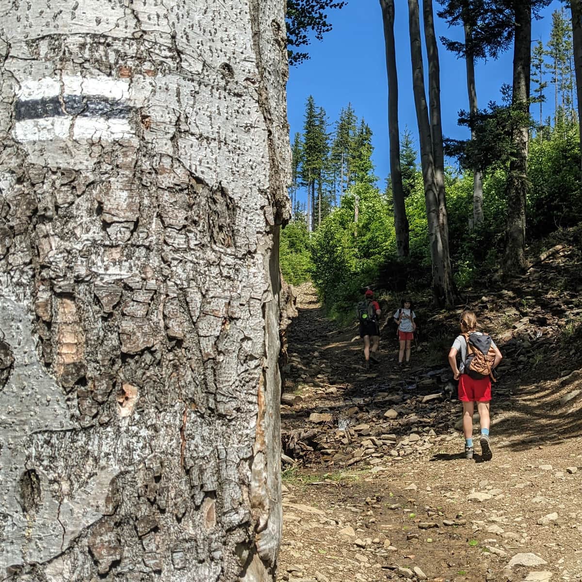
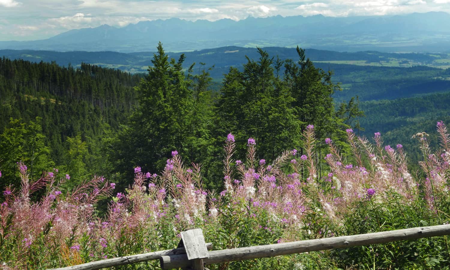
Our narrow path crosses a wide forest road but soon enters the forest again. We will climb a comfortable "slope" after another forest section, about 1.5 km from the beginning of the trail. Here, we will be greeted by the first beautiful views to the southeast, towards Podhale, and even the Tatra Mountains if they are not hidden by clouds...
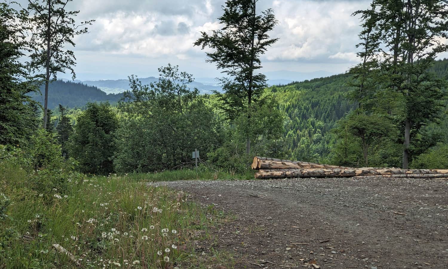
After a few hundred meters on the wide forest road, we enter the forest again - attention: do not miss this turn! This will be the steepest section of our trail, but fortunately, it is not very long.
After reaching the junction of the black and green trails, it becomes almost completely flat: easy and enjoyable!
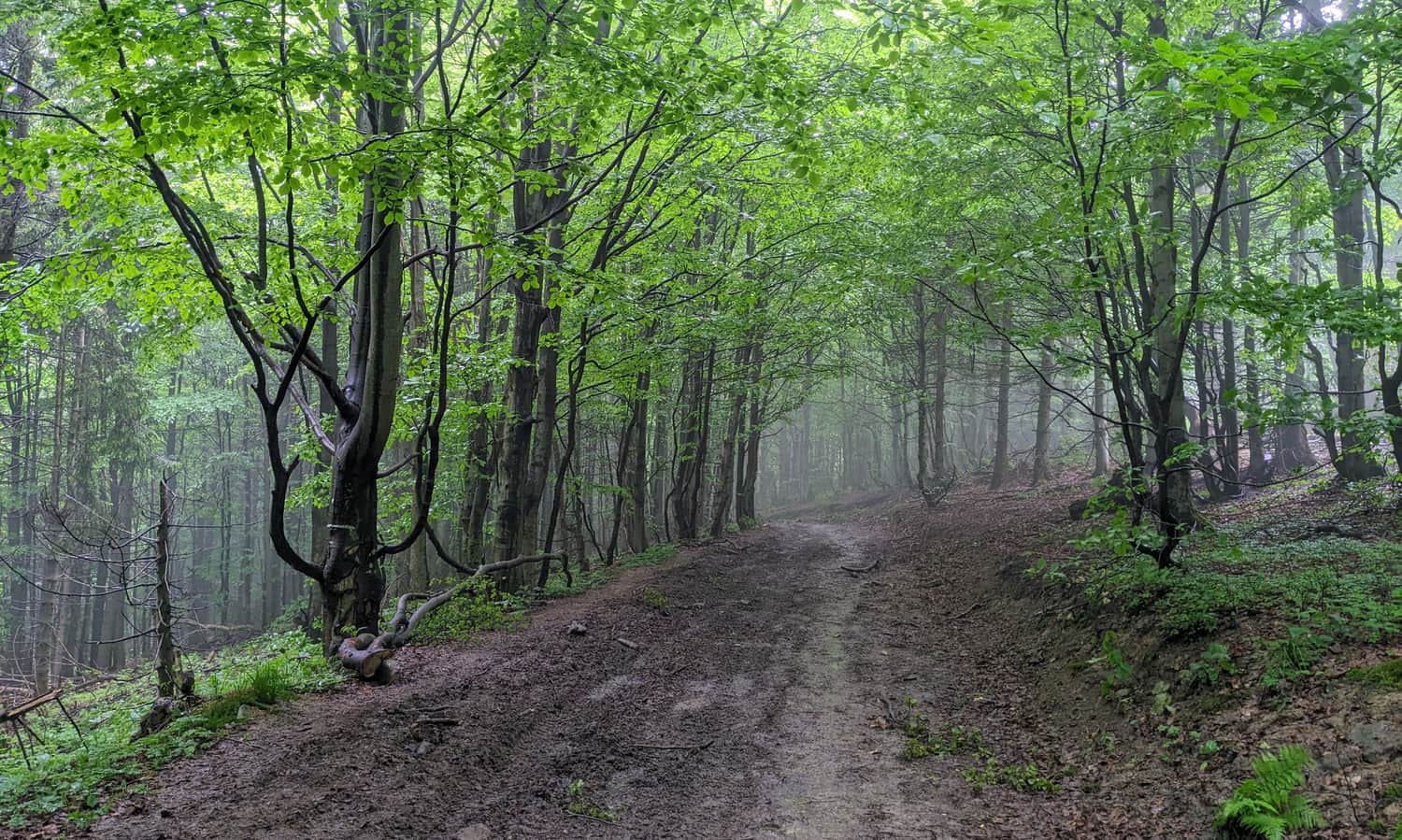
We will first reach the Kucałowa Pass via the ridge path - a beautiful and scenic spot, provided that it is not covered by fog...
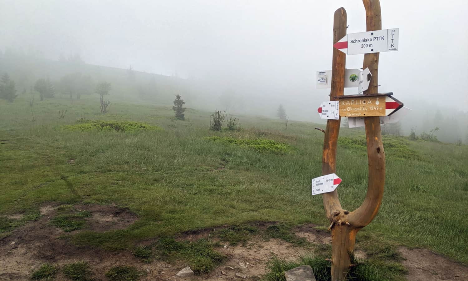
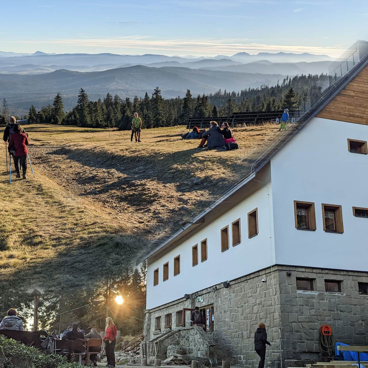
...and right after that, we will reach our destination: the PTTK shelter on Hala Krupowa with a beautiful panorama of the Tatra Mountains. During the season, there is also an open shepherd's hut (offering fresh oscypek cheese and other products made from sheep's milk). More information about the shelter can be found here:
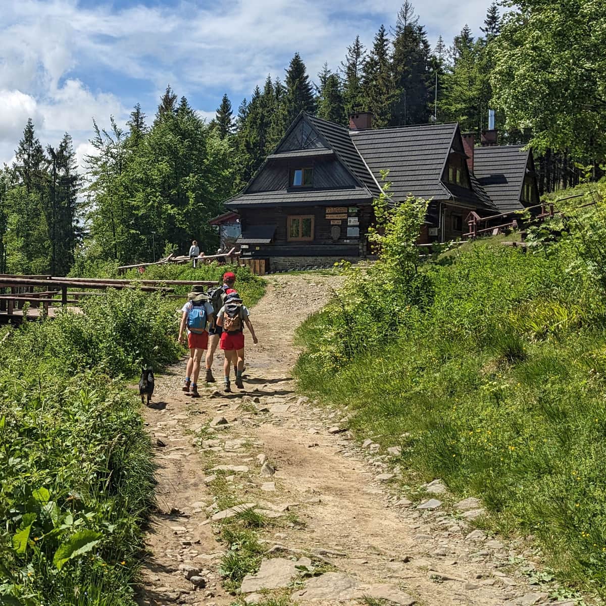
The PTTK Shelter on Hala Krupowa - trails, views, curiosities
The PTTK Shelter on Hala Krupowa is a picturesque and scenic place in the Żywiec Beskids, near the summit of Policy (1369 meters above sea level). It can be a destination for a mountain trip or a stop during a longer hike through the Polic Range. ...
And here is the view of the Tatra Mountains from the viewpoint terrace near the shelter, in slightly better weather conditions:
PTTK shelter on Hala Krupowa - Polica
At the shelter, we can rest, have a meal, buy souvenirs, and use the toilet. If we want to return to Sidzina, we can descend using the same black trail (the descent will take about 1 hour) or, for a change, take the green trail (1 hour and 20 minutes). Between the beginning of the black and green trails in Sidzina, there is a section that can be covered by an asphalt road (about 3 km).
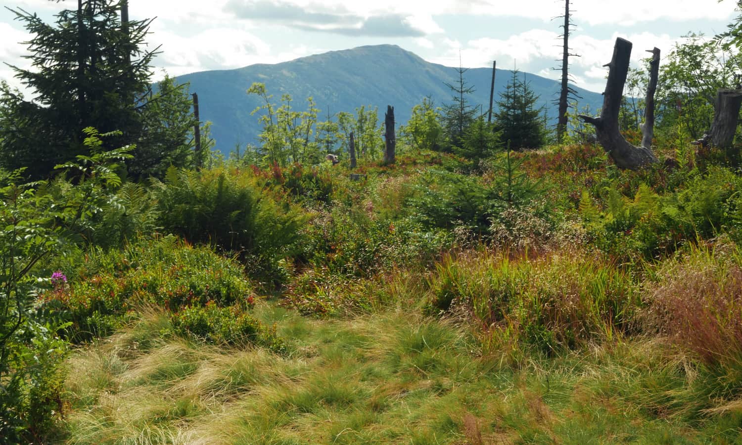
We can also visit the beautiful viewpoint: Jasna Góra (also known as Kocia Łapa on maps), located just above the pass, along the red trail to Polic, 15-20 minutes from the shelter. We can continue climbing and reach the summit of Policy (1369 meters above sea level). From the shelter on Hala Krupowa, it is only 2.5 km with a 230-meter elevation difference, which takes about 1 hour of hiking on the red trail.
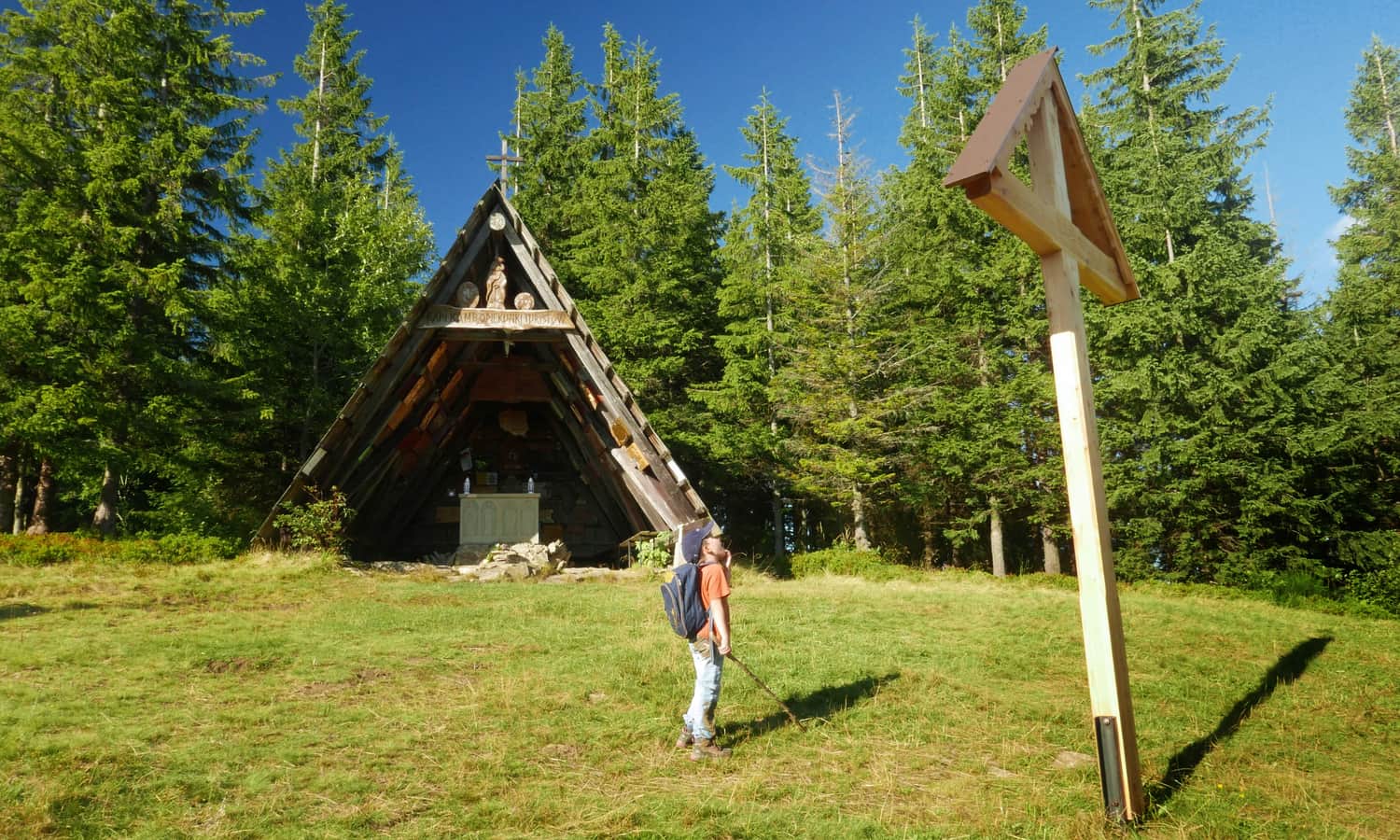
Another interesting place in the area is the Chapel of Our Lady of the Tourists on Okrąglica. We can reach it from the shelter on Hala Krupowa by following the red trail for about 30 minutes (1 km on the red trail to the east, then turning left onto an unmarked path along the power line.

Publish Date:
Last Updated: