From Skawica to Hala Krupowa and Policę
Town: Skawica Nearby: Sucha Beskidzkabeach_access Route in the shade
restaurant Restaurant or bar nearby
directions_car Access by car
directions_bus Can be reached by bus
wc Toilet along the route
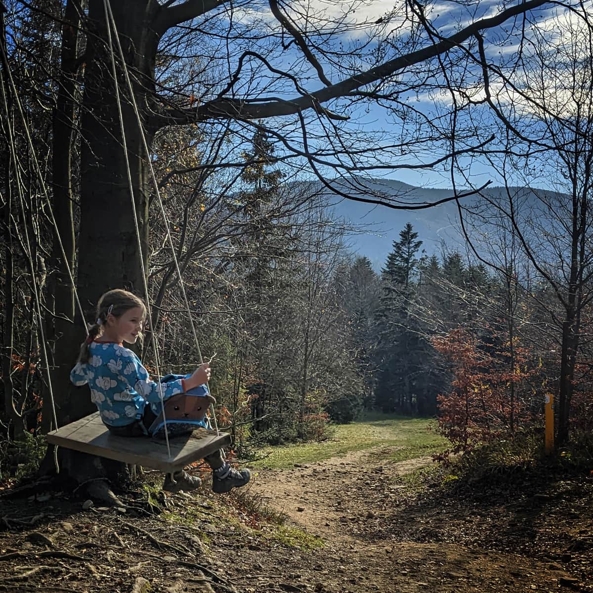
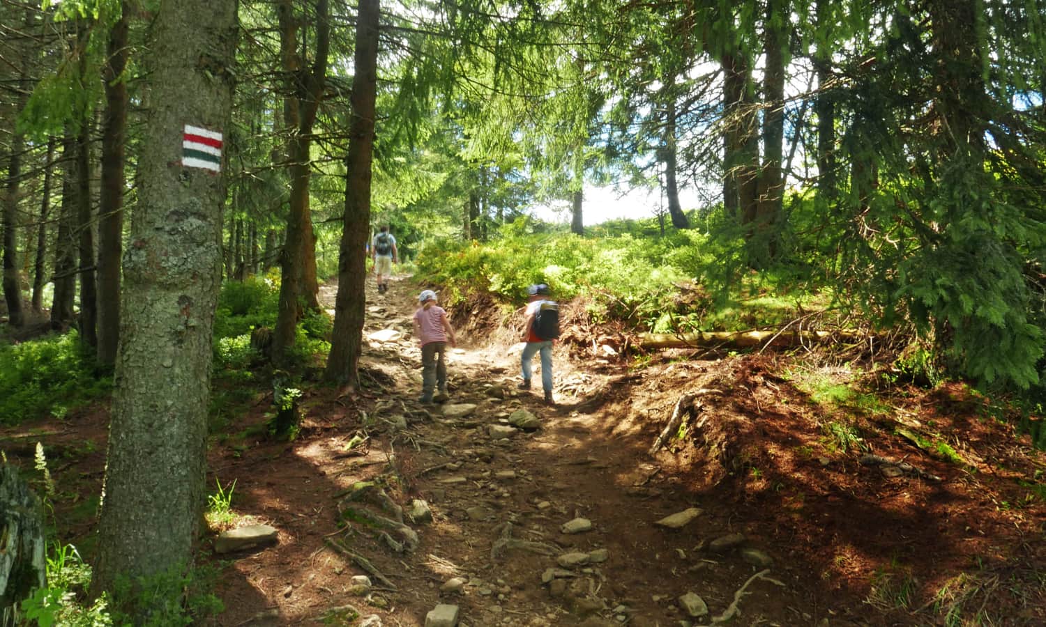
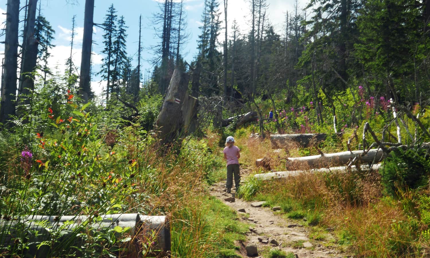
The blue trail starts in the center of Skawica (PKS), but because it mostly follows an asphalt road, it is worth driving to the Sucha Góra neighborhood. We parked near the fire station (parking for about 10 cars). From here, we will only walk a few dozen meters on the asphalt before entering the forest.
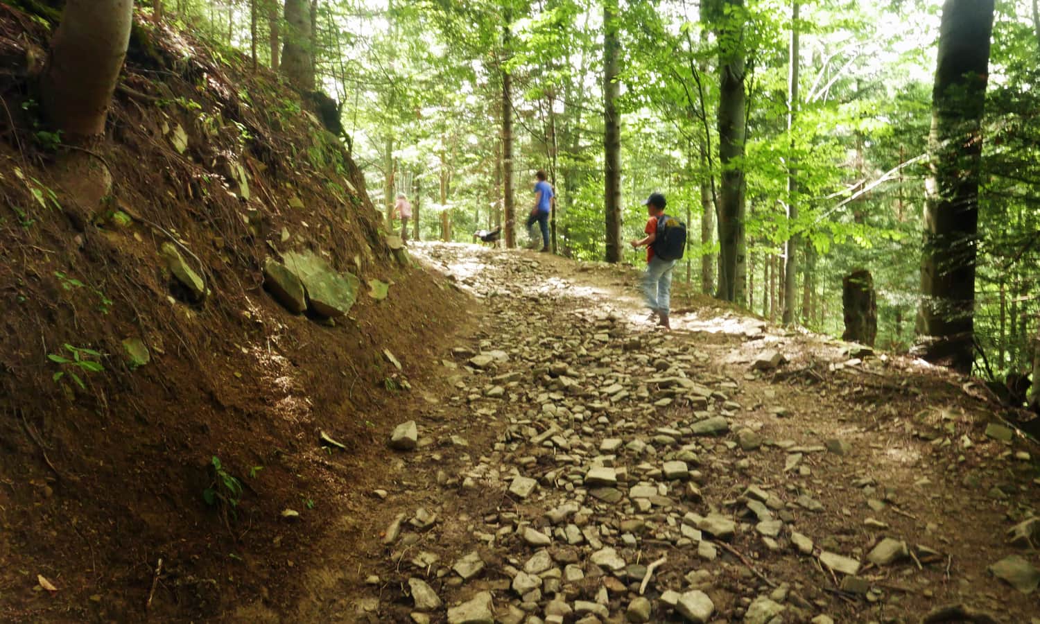
The ascent on the blue trail can be difficult: the path is very steep in some places, and it often leads through a rocky ravine with loose stones, where forest streams flow (slippery!). That's probably why this route took us about 2 hours instead of the promised 1 hour and 15 minutes (according to the signs).
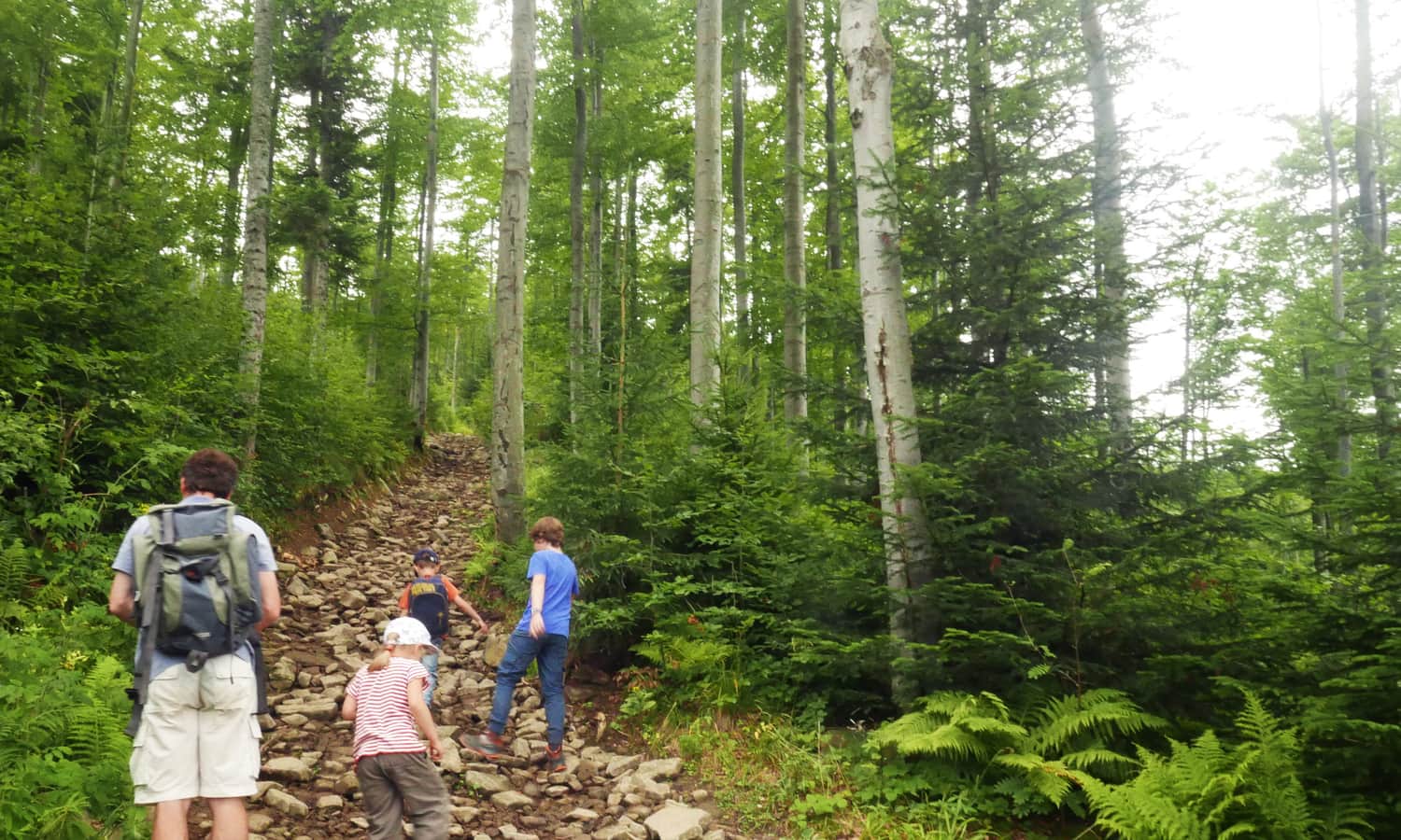
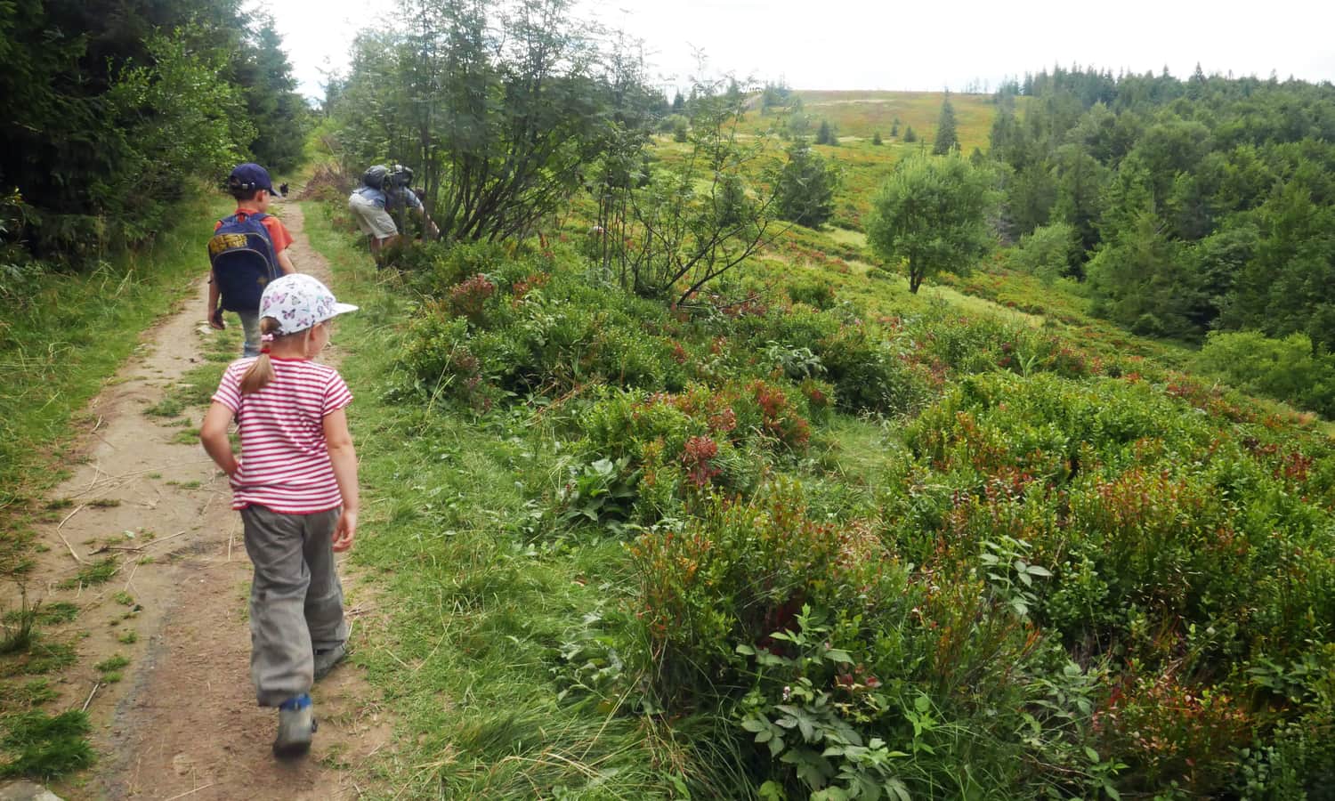
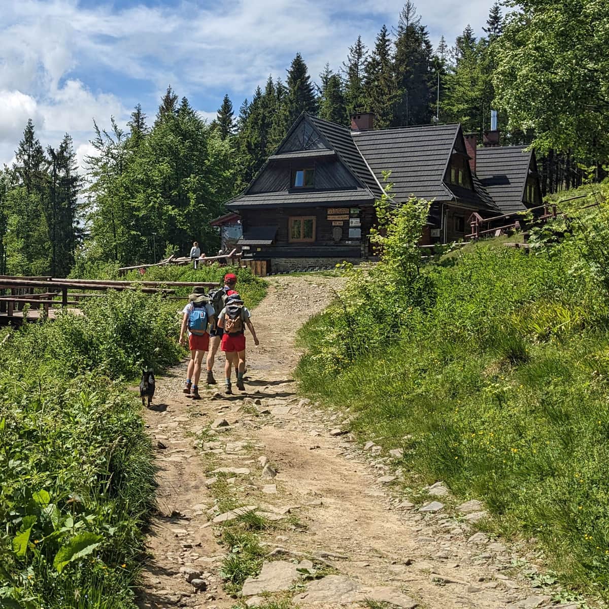
Fortunately, the steep sections are interspersed with more gentle parts where you can catch your breath. When the blue trail merges with the yellow trail, we are greeted by beautiful views between the trees – it's worth stopping for a moment. And when we reach the blueberry meadow, it means that Przełęcz Kucałowa and the mountain hut are nearby!
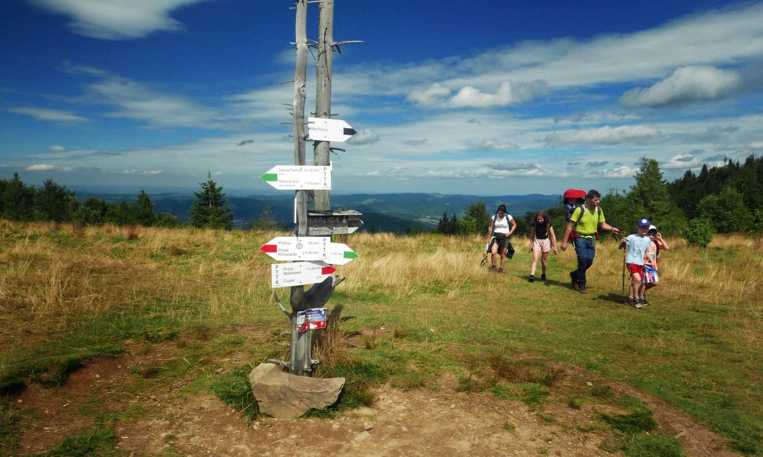
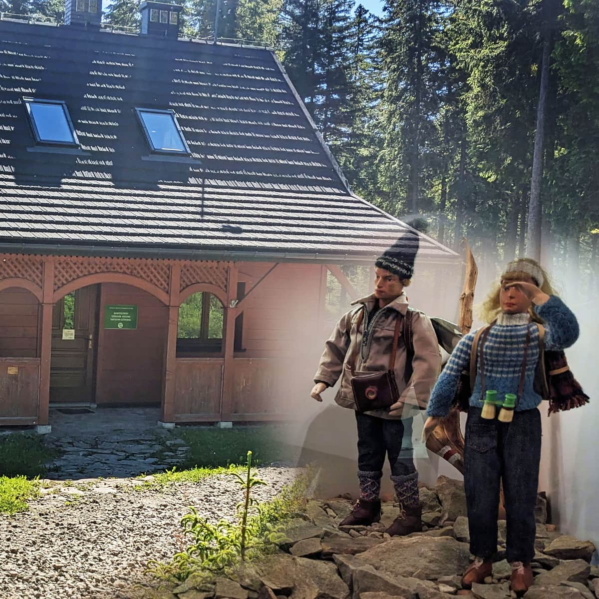
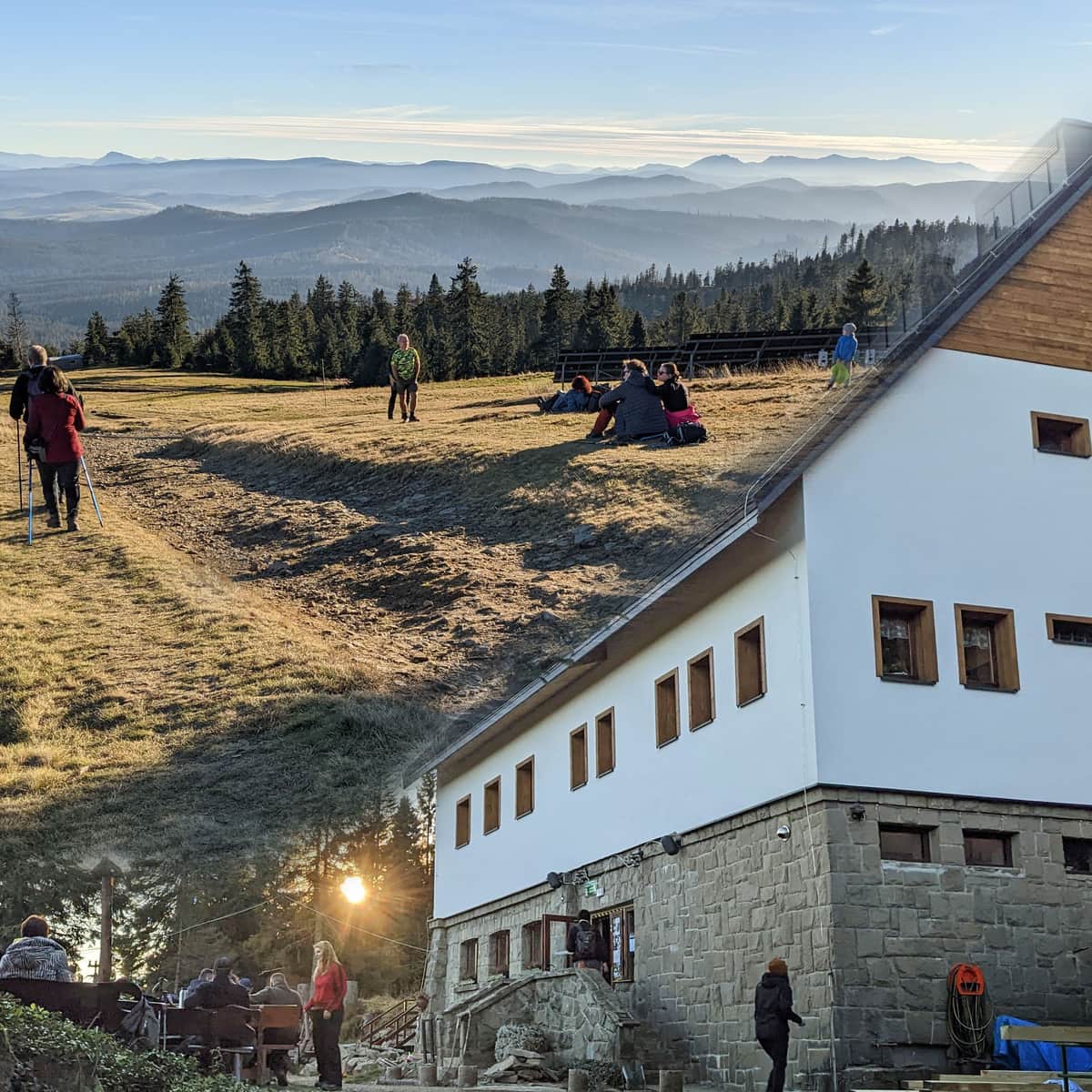
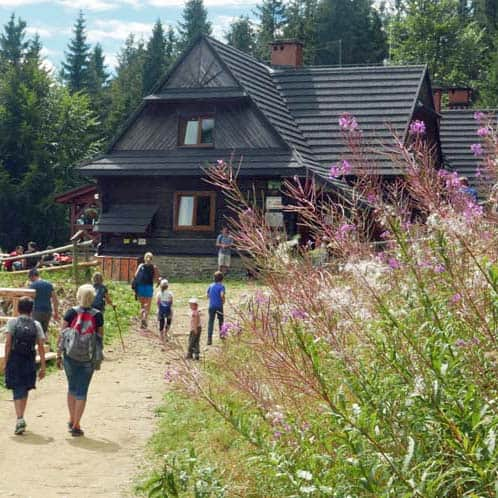
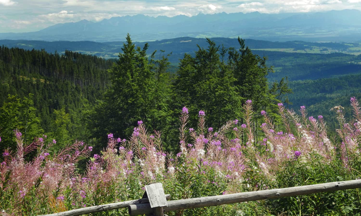
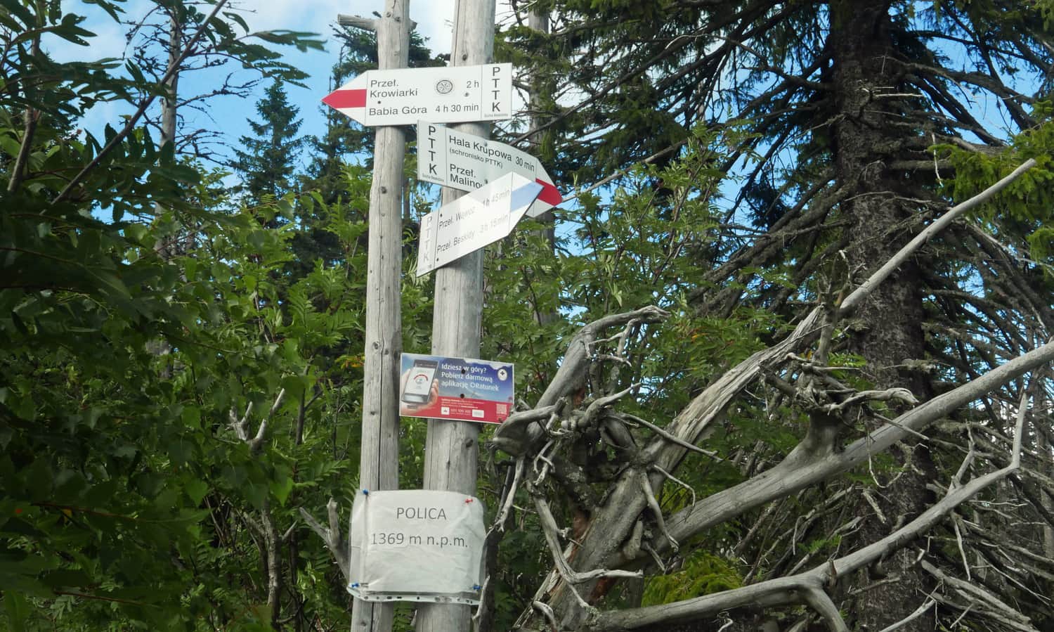
At Przełęcz Kucałowa, we are greeted by a beautiful chain of the Tatra Mountains. From here, we can immediately head towards Policę, or (as in our case) take a break at the PTTK mountain hut (just below the pass). In the hut – apart from the view of the Tatras – we can enjoy dinner dishes, sweets, and drinks. Right next to the hut, there is a shepherd's hut with mountain cheese and pancakes with bryndza cheese.
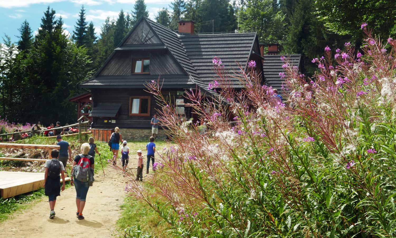
Learn more about the PTTK mountain hut on Hala Krupowa, its attractions, and other trails that lead here in this article:
The PTTK Shelter on Hala Krupowa - trails, views, curiosities
The PTTK Shelter on Hala Krupowa is a picturesque and scenic place in the Żywiec Beskids, near the summit of Policy (1369 meters above sea level). It can be a destination for a mountain trip or a stop during a longer hike through the Polic Range. ...
From Hala Krupowa to Policę
It took us about an hour to walk from the hut to Policę on the red trail. After the challenging ascents on the blue trail, we were pleasantly surprised by the gentle forest path – perfect for warming up after resting (and indulging) at the mountain hut. Although the second half (after leaving the green trail) was uphill, the beautiful views, delicious blueberries, and glimpses between picturesque clearings and spruce trees made it worthwhile.
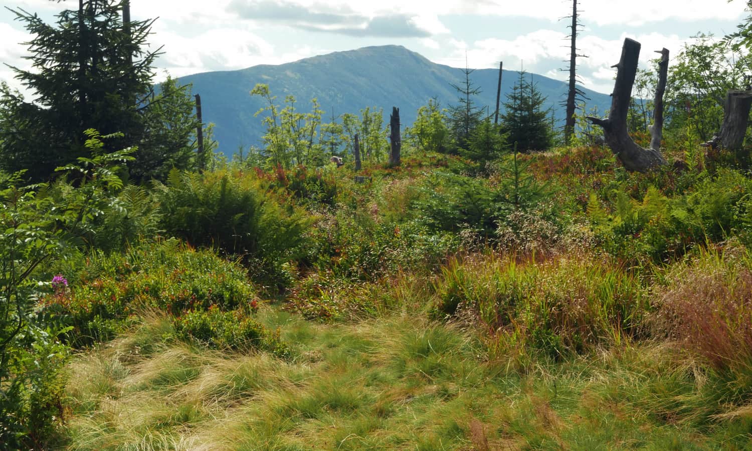
Polica, 1369 meters above sea level
At the summit of Polica – again the Tatras, again blueberries, but this time with an extra treat: Babia Góra:
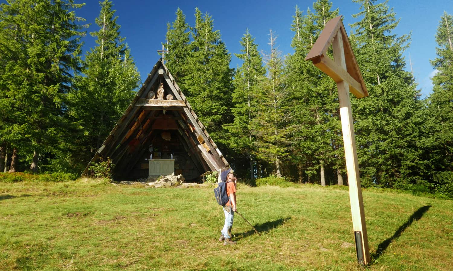
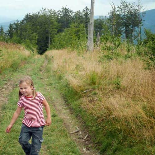
After descending from Polica... we visited the hut again – this time for ice cream. Before returning, we also visited the chapel of Our Lady, the Guardian of Tourists on Okrąglica (the red trail from the pass, the path on the left). To reach the chapel, you need to walk about 10 minutes from the pass, turn left at the electric pole, and walk uphill on an unmarked path. After a few minutes, we will reach a mast and a wooden chapel.
From there, we returned to the pass (10 minutes) and descended to Skawica on the blue trail. Despite the promised 30 minutes (according to the signs), it took us about an hour – the steep sections with wet loose stones slowed us down.
PS. This route has been included in our article "Around Babia Góra. Trails around Zawoja". Would you like to learn about the others?
Around Babia Góra. Trails in the vicinity of Zawoja
Where to go for a mountain hike from Zawoja? Not just to Babia Góra! The surrounding mountain ridges offer kilometers of beautiful scenic trails accessible to everyone! ...

Publish Date:
Last Updated: