Zabierzów Forest - Trails and Attractions
Town: Zabierzów
check_circle Stroller-friendly
check_circle Large-wheeled stroller
check_circle Bike paths
check_circle Small cyclist paths
check_circle Mainly in the shade
check_circle Accessible by public transport
Zabierzów Forest
Located near Balice Airport, Zabierzów Forest is one of the largest forest complexes in the Krakow area. It takes about 20 minutes to get there from the center of Krakow. In Zabierzów Forest, you will find asphalt paths suitable for strolling with a stroller, scooter, or children's bike, as well as many trails for a family walk.

Forest Entrances, Public Transport Access, and Parking:
You can access Zabierzów Forest from several directions, with the most entrances and trails located near Szczyglice and Zabierzów.
Grzybowska Valley with a Stroller and Bicycle
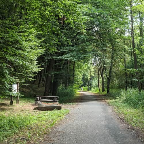
This is one of the most popular paths in Zabierzów Forest. There is a parking lot and a public transport stop called Skała Kmity at the entrance to the valley. Suburban bus line 258 from Bronowice Małe terminates here. Grzybowska Valley has an asphalt path suitable for strollers, bicycles, and scooters.
Easy
Grzybowska Valley


Entrance to the Forest from Leśna Street in Zabierzów
The entrance to the forest at the end of Leśna Street in Zabierzów, right next to the "Zapałka" radar, is one of the most beautiful paths in Zabierzów Forest. It is a long, wide, shaded, well-maintained path suitable for strollers and bicycles. There is no official parking lot here, but people often leave their cars near the radar.
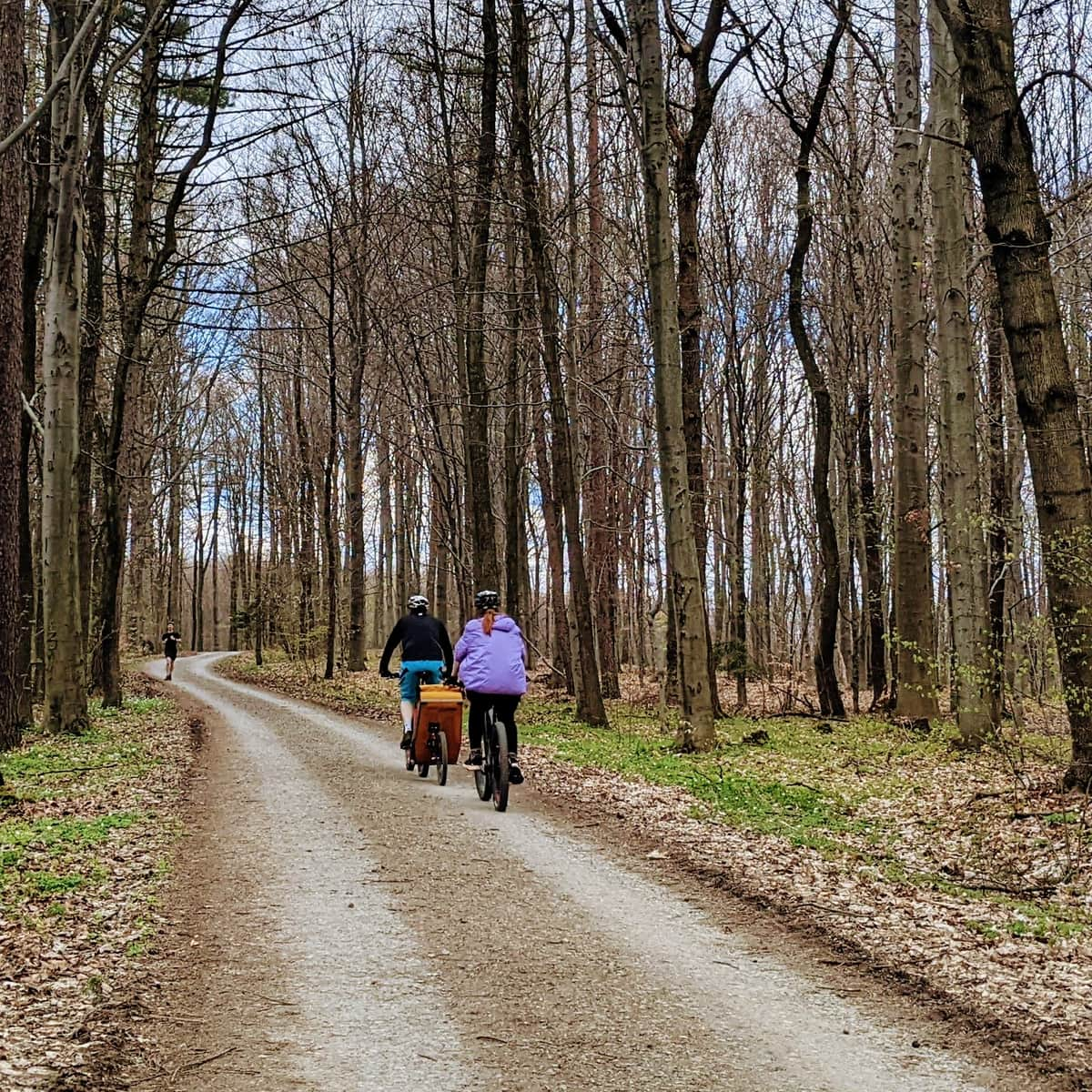
Easy
Zabierzów Forest - Bike or Stroller Path from Zabierzów to Kleszczów


Entrance to the Forest from Kleszczów
You can also enter the aforementioned path from the direction of Kleszczów. The entrance to the forest is located near the Kleszczów Centrum bus stop, which is served by bus line no. 218 from Bronowice Małe. From the bus stop, we will walk along a charmingly named street with an equally charming appearance called Wąwóz Kochanowski. We will reach the Zapałka radar in Zabierzów via a wide path suitable for strollers and bicycles.
Easy
Zabierzów Forest - Bike or Stroller Path from Zabierzów to Kleszczów


Skała Kmity Reserve
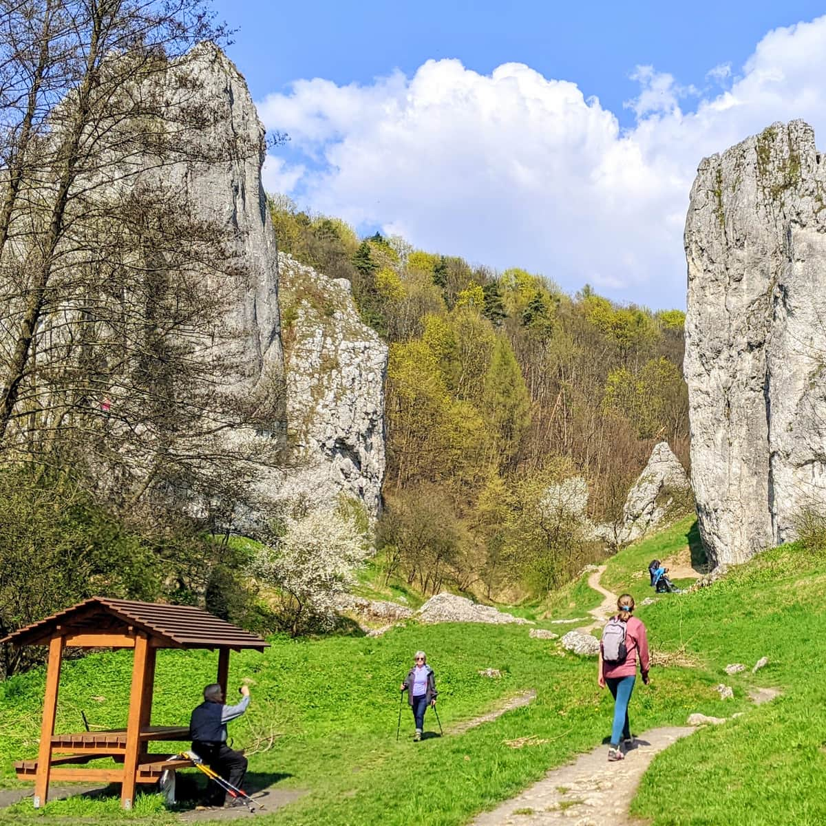
The entrance to the yellow trail in the Skała Kmity reserve is located near the entrance to Grzybowska Valley, behind the parking lot. The trail is off-road and goes uphill. We will reach a viewpoint and Skała Kmity, which offers a panorama of limestone rocks and the Krakow area.

Medium
Skała Kmity Reserve


Zabierzów Quarry
Recently renovated, the Zabierzów Quarry now features a safe beach, picnic areas, and family rest spots. You will find numerous benches and wide sidewalks that allow for stroller access. There is a parking lot and a restaurant near the quarry.

Quarry in Zabierzów - what to see? History, geology, and a walk
Zabierzów Reservoir - suitable for strollers. It is less known and less crowded than the quarry at Zakrzówek in Kraków, but just as beautiful. ...

Educational Forest Path
Within Zabierzów Forest, the forestry department has created an educational forest loop leading through Grzybowska Valley. Before going for a walk, it is worth getting a booklet with tasks for children and tips for parents (booklets available at the Niepołomice Forestry Office: ul. Myśliwska 41, at the Regional Directorate of State Forests in Krakow: al. Słowackiego 17a, or on the website: www.pomocniklesnika.pl)

Easy
Zabierzów Forest: educational forest trail


Zapałka Radar
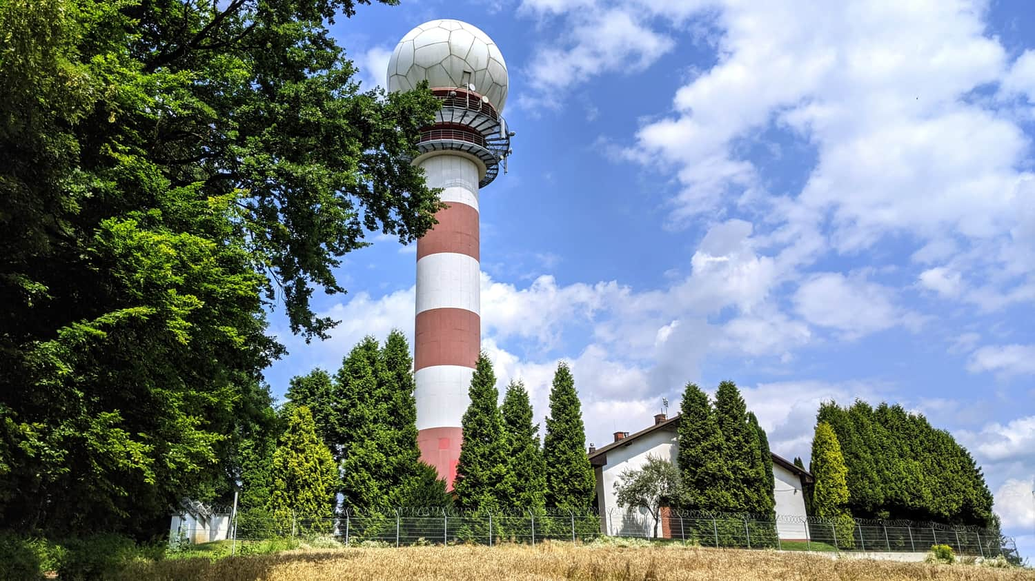
Crowned with a spherical dome and standing 30 meters high, the Zapałka radar is a distinctive point in Zabierzów Forest (342 meters above sea level). It is located on a hill near the Krakow border and can be easily seen, for example, from the Piłsudski Mound. The radar serves Balice Airport but also acts as a backup for Pyrzowice Airport.
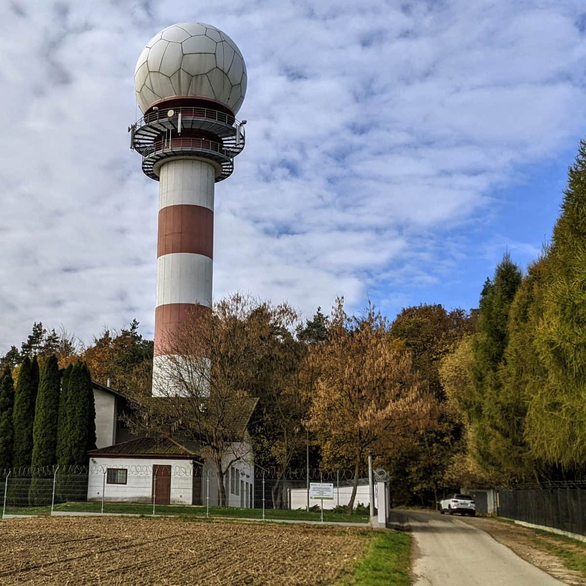
Zapałka (Match) Radar in Zabierzów
The aviation radar in Zabierzów Forest, near Balice, is a distinctive point visible, for example, from the Piłsudski Mound. ...

Publish Date:
More in the Region Jura (Jura)