Zapałka (Match) Radar in Zabierzów
check_circle Outdoors
check_circle Sloping terrain
check_circle Asphalt roads
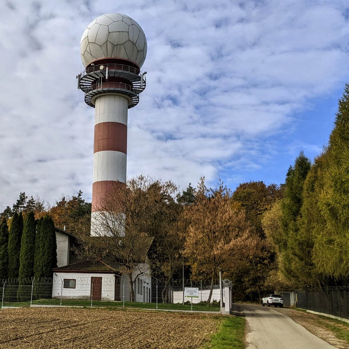
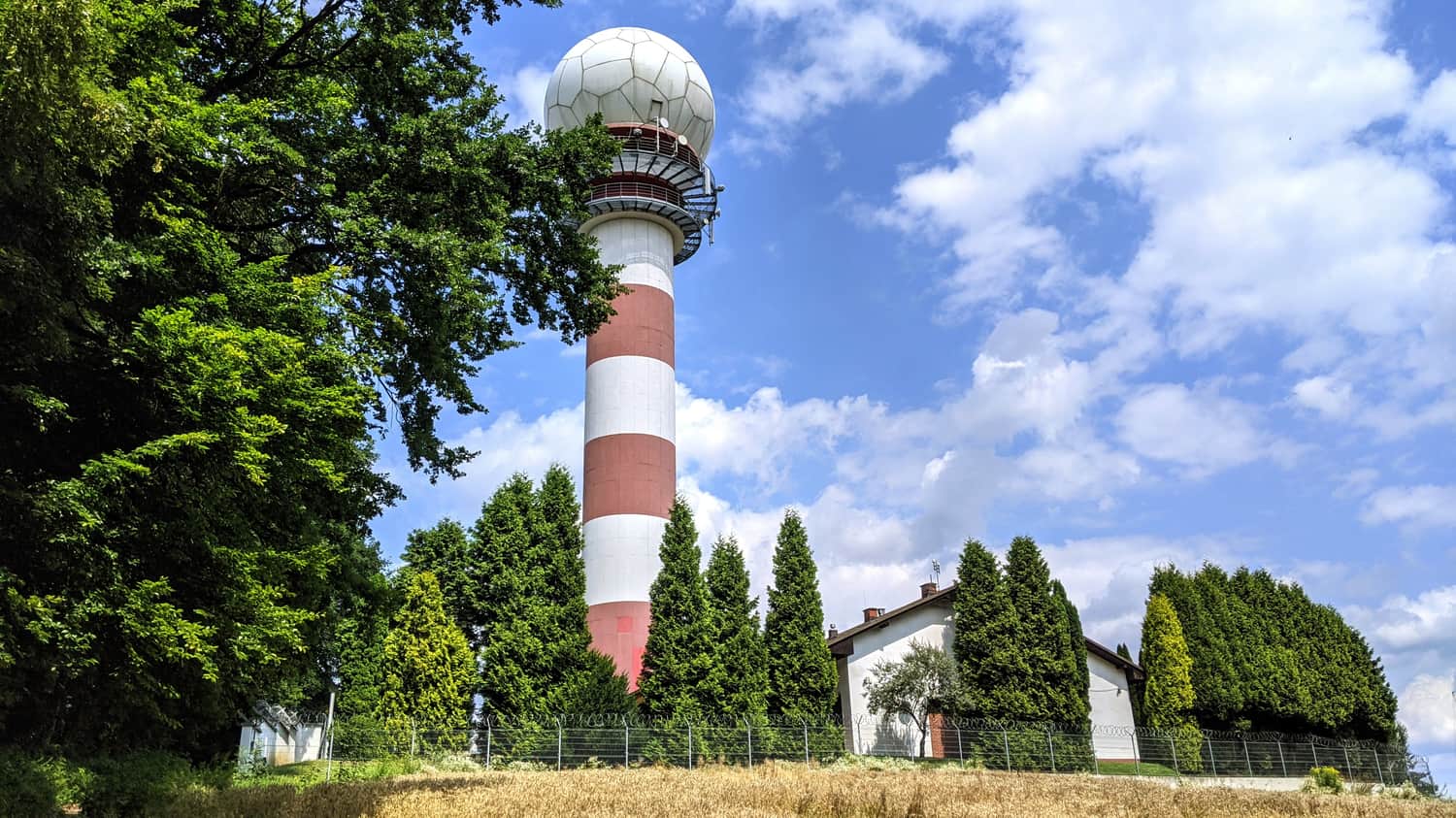
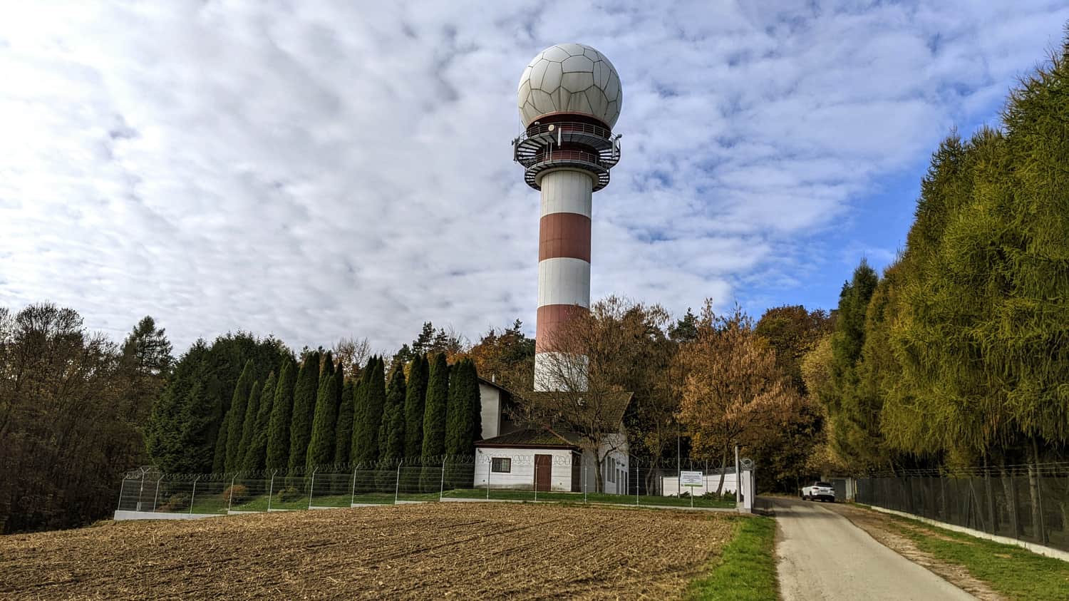
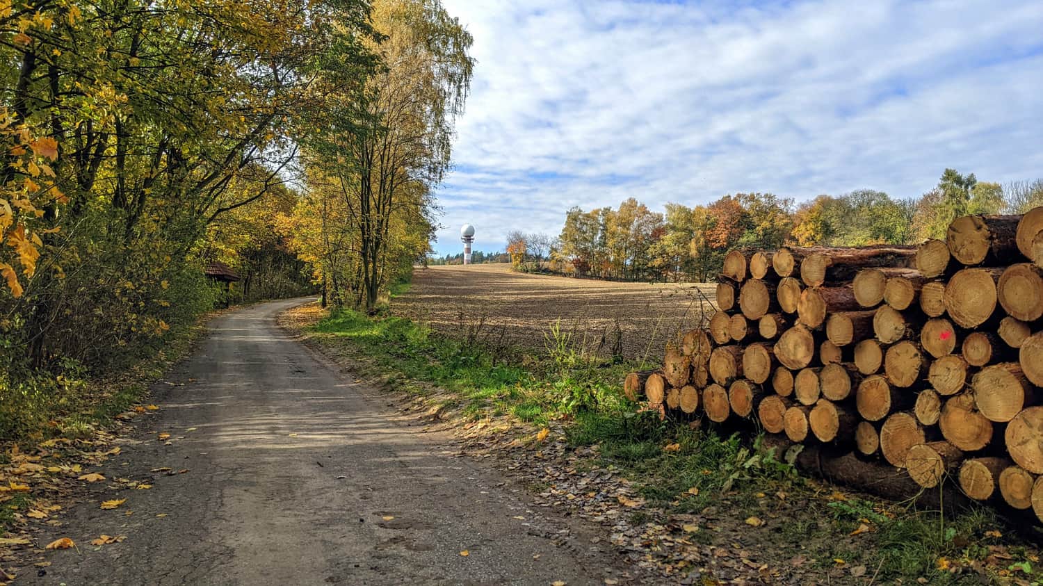
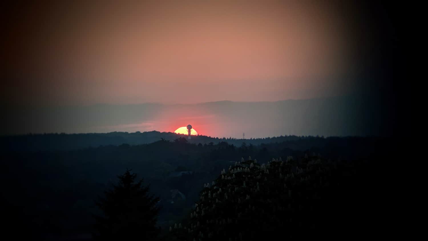
The radar tower, crowned with a spherical dome and standing at 30m tall, is locally known as "Zapałka" and is a distinctive point in the Zabierzów Forest (342m above sea level). It is located on a hill near the border of Krakow. It can be easily seen, for example, from the Piłsudski Mound. The radar serves the Balice Airport, but also acts as a backup for the Pyrzowice Airport.
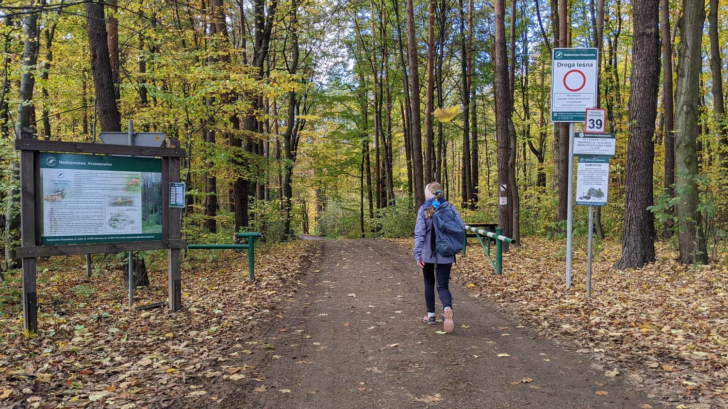
Entrance to Zabierzów Forest
The radar is located on the edge of one of the larger forests near Krakow, at the intersection of hiking trails. Right next to the radar, one of the main wheelchair-accessible paths in Zabierzów Forest begins.
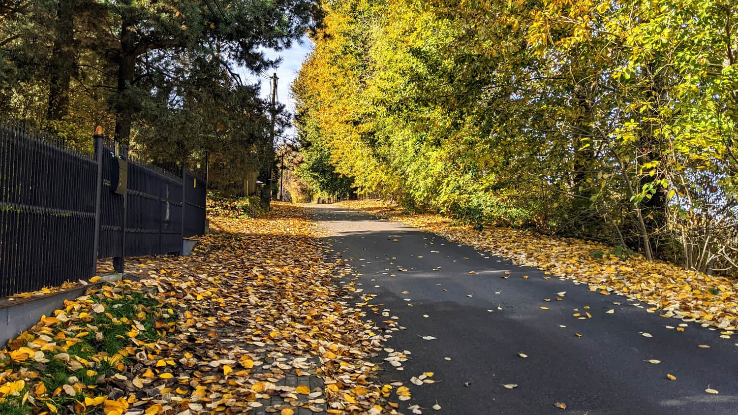
To get to the forest and the radar from Zabierzów, take Leśna Street. Unfortunately, the sidewalk along the street is missing, and there is no shoulder or sidewalk near the forest. Although cars rarely appear here, they can drive quite fast. It is manageable to walk with caution, especially with older people, but if you have a stroller, it is better to avoid this section and drive directly to the radar by car. There are several places where you can park your car on the side of the road (although it may be difficult to find a parking spot on weekends).
Grzybowska Valley
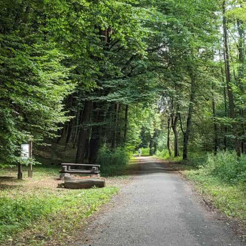
The second and definitely the best option is to take a walk through Grzybowska Valley - a fairly large parking lot can be found near the valley. An asphalt pedestrian and cycling path, suitable for strollers, leads us flat for a long time, and then we climb up to reach the Zapałka Radar.
Easy
Grzybowska Valley

From Kleszów
We can also reach the Zapałka Radar through Zabierzów Forest from Kleszów. The trail marked with blue leads from here.
Easy
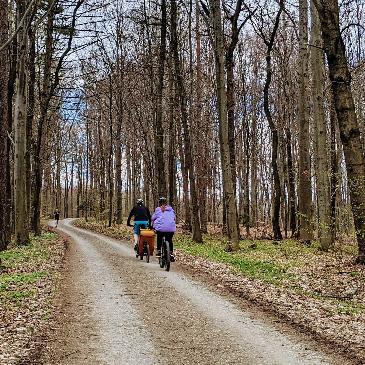
Zabierzów Forest - Bike or Stroller Path from Zabierzów to Kleszczów

View of the Radar from Krakow

Publish Date:
Last Updated:
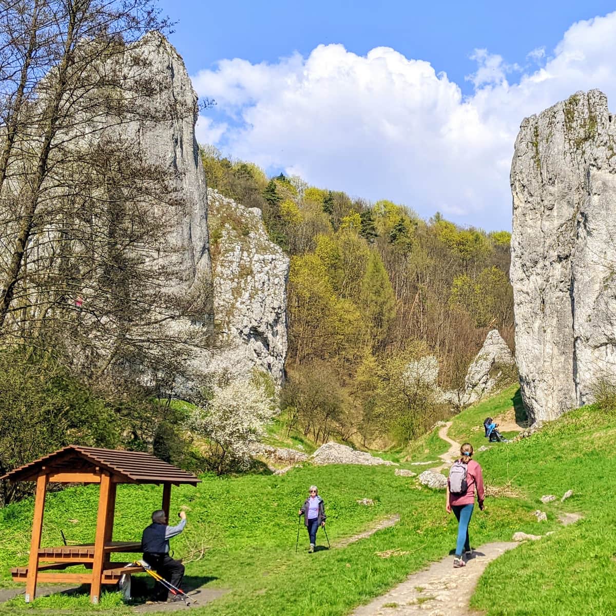
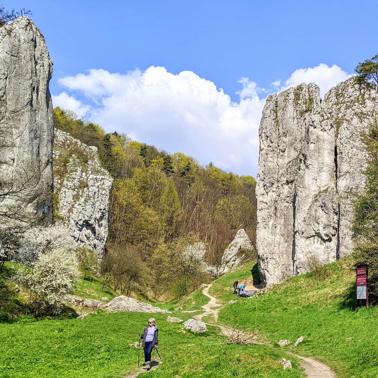
More in the Region Okolica Krakowa (The Surroundings of Krakow)