Where is the source of the Vistula?
The Vistula is the longest river in Poland. Its sources are in the Silesian Beskids on the slopes of Barania Góra. Known as the Queen of Polish Rivers, it is formed by the joining of several streams, the most famous being Biała and Czarna Wisełka. Where exactly can you find the sources of the Vistula and how can you reach them?
How long is the Vistula?
Until recently, all sources stated the length of the Vistula as 1047 km. Today, after measurements in 2010, the official length is 1022 km. The Vistula begins where the Wisełka and Malinka streams meet in the Nowa Osada area of the town of Wisła. The Wisełka itself is formed in the Czerniańskie Lake by the joining of Biała and Czarna Wisełka.
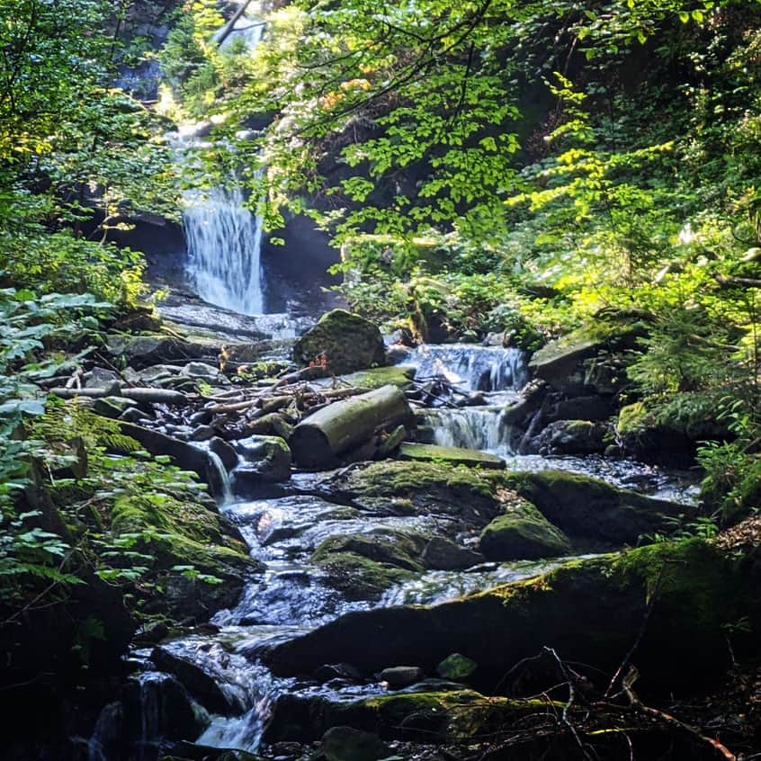
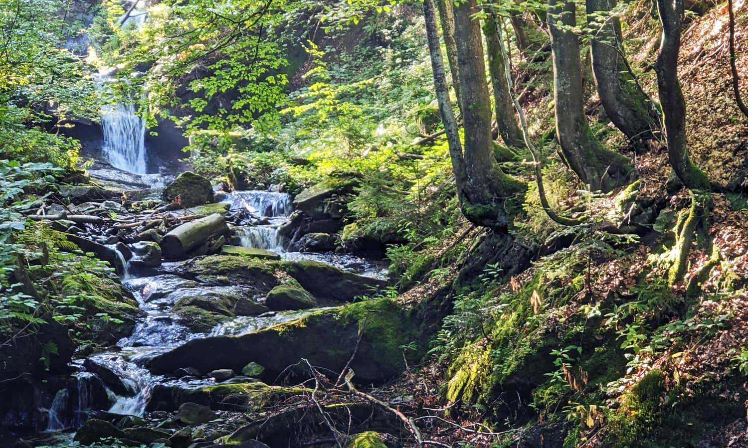
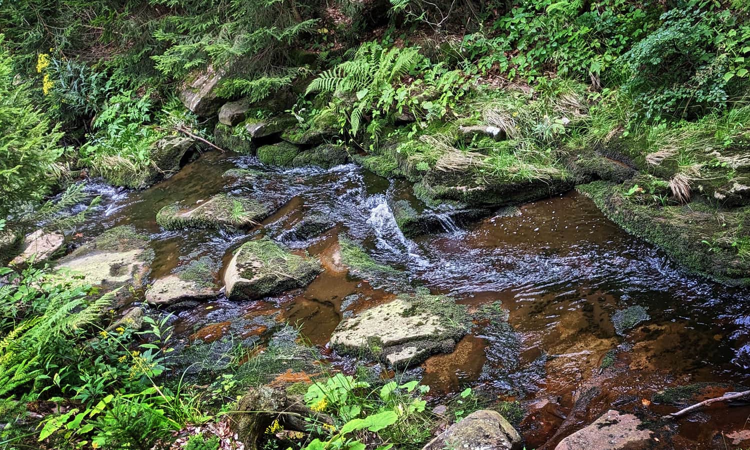
Biała and Czarna Wisełka
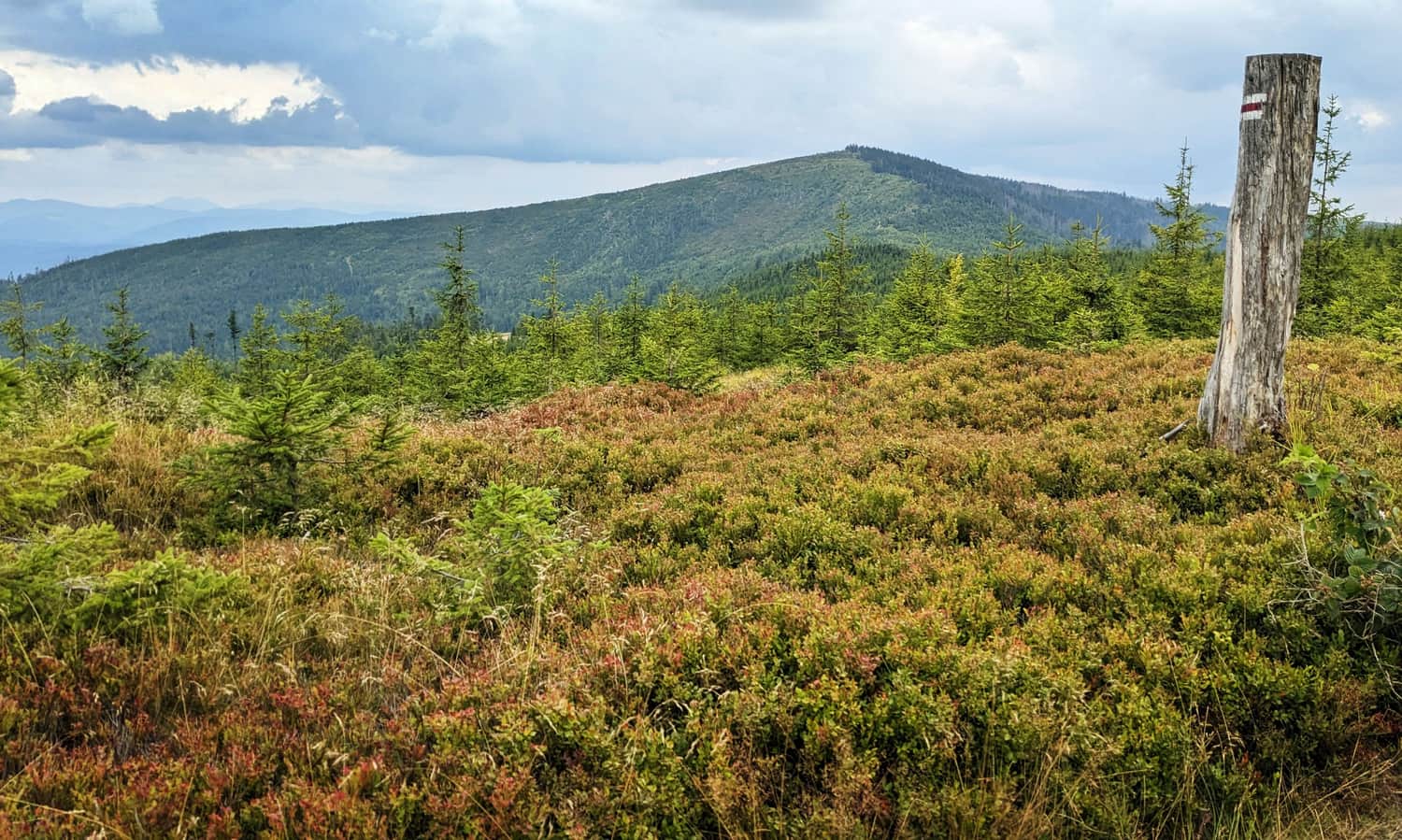
Both streams, Biała and Czarna Wisełka, flow from the slopes of Barania Góra, a prominent peak 1215 meters above sea level, located in the heart of the Silesian Beskids.
The sources of the shorter Biała Wisełka (6.7 km) are at about 1120 meters above sea level, while the longer Czarna Wisełka (9.3 km) is higher, at 1150 meters. Czarna Wisełka is considered the main source stream, and its 'drips' are the true source of the Vistula.
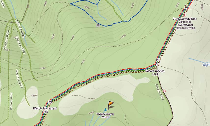
Where exactly are the sources of the Vistula on Barania Góra?
The sources of Czarna Wisełka are near the top of Barania Góra, not far from the trail from the shelter. Unfortunately, it is not a spring with sparkling water but rather 'drips' (a term used by B. Hoff, who wrote in the late 19th century that the Vistula is born 'in a puddle of black mud', meaning it seeps from small marshes formed by water-soaked humus).
Since these Vistula 'drips' are just a wet, marshy area, and part of a strict nature reserve, we cannot go directly to this place. We pass it on the flat area between Wierch Równiański and Wierch Wisełka (where the black trail from Kamesznica joins).
More about the trail from PTTK Przysłop Shelter under Barania Góra, near the source of the Vistula, the 'drips' of Czarna Wisełka to the top of Barania Góra, we write here:
Medium
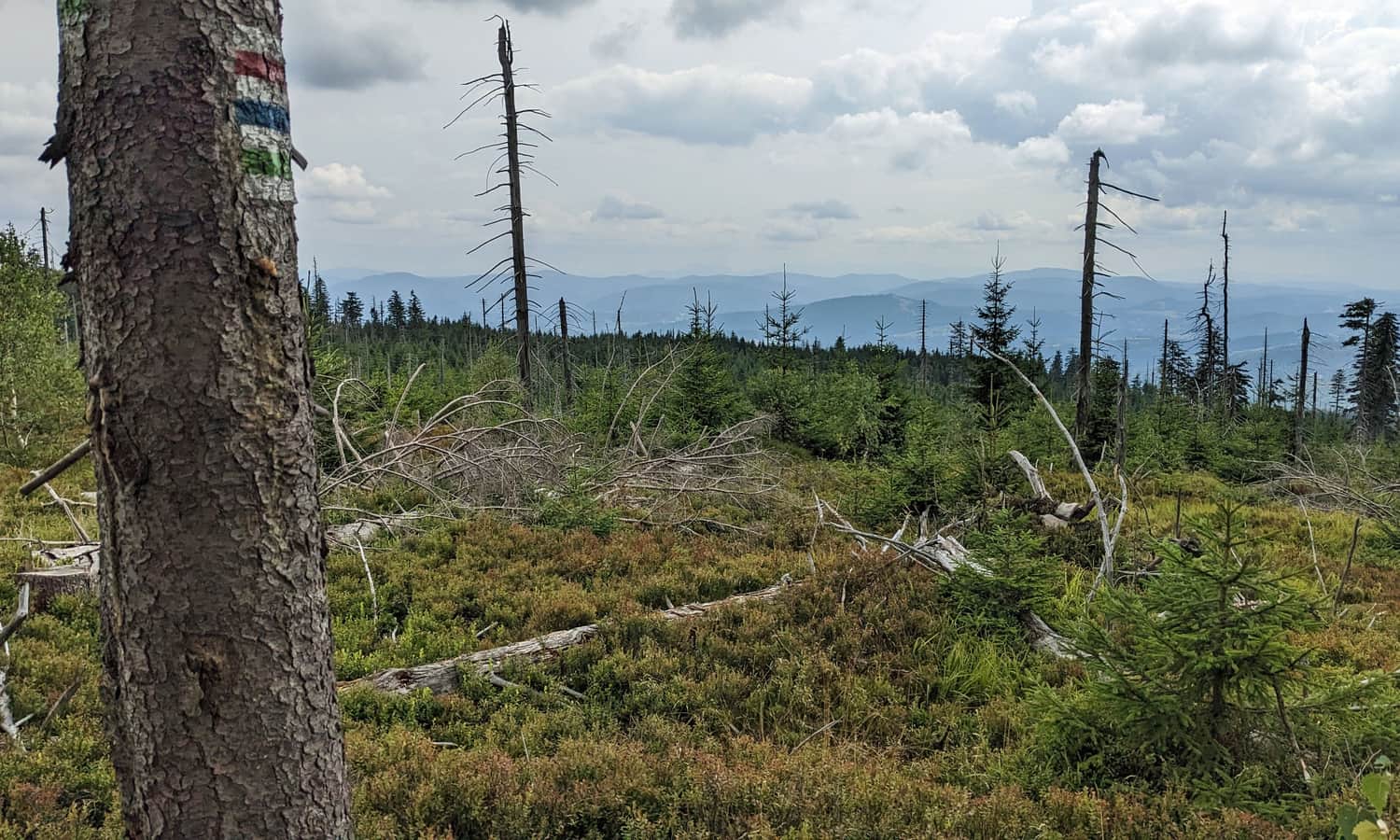
Trail from PTTK Przysłop Shelter to Barania Góra

Trip to the sources of the Vistula on Barania Góra
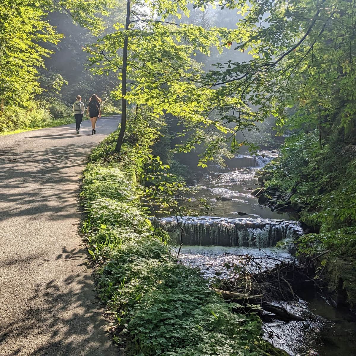
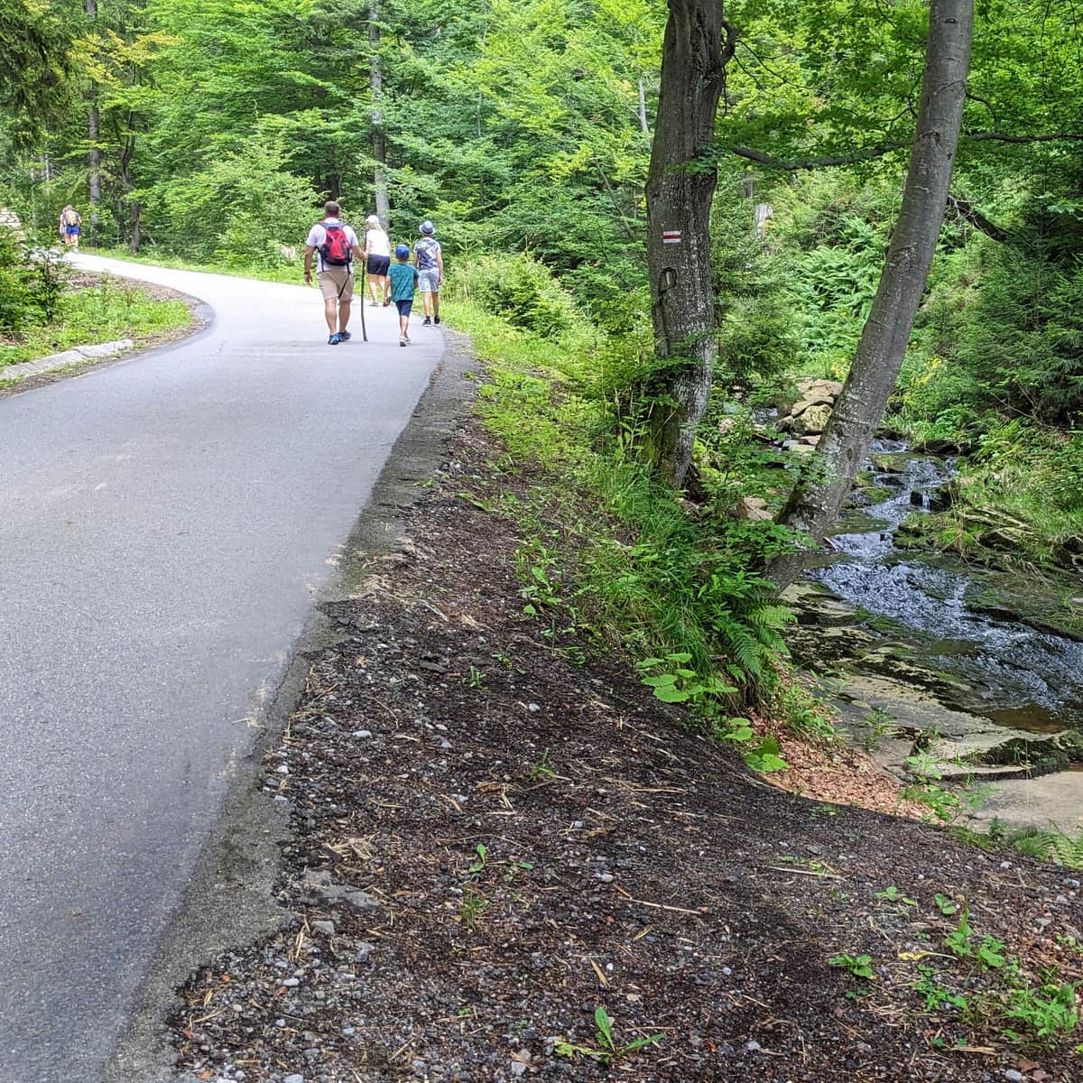
If you want to set out on a journey to the sources of the Queen of Polish Rivers, we recommend hiking through the valleys of both Biała:
Easy
Biała Wisełka Valley and Rodła Cascades - an easy walk in the Silesian Beskids

Medium
Barania Góra - blue trail through Biała Wisełka and Rodło Cascades

...and Czarna Wisełka:
Easy
Valley of Czarna Wisełka: the easiest way to the mountain hut under Barania Góra

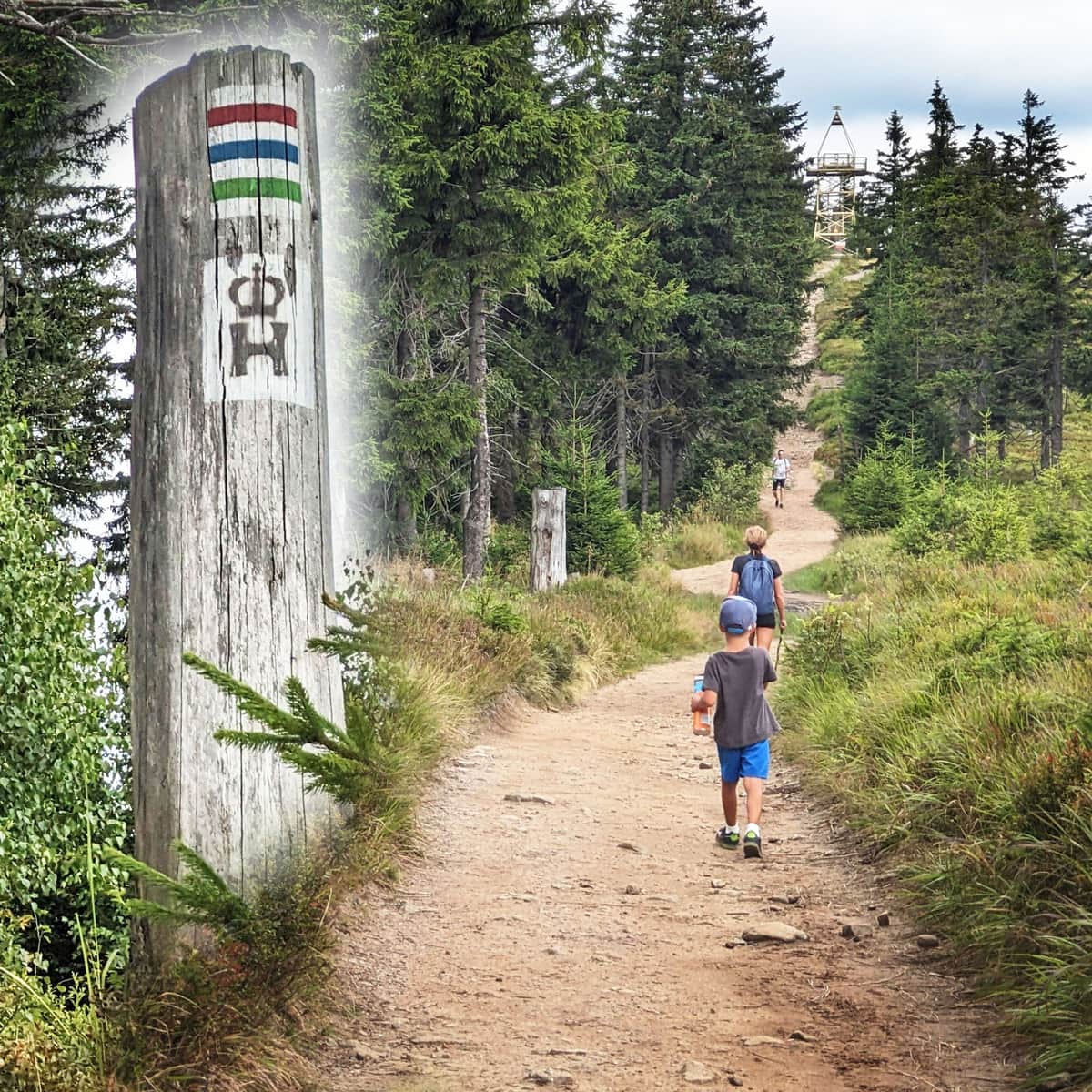
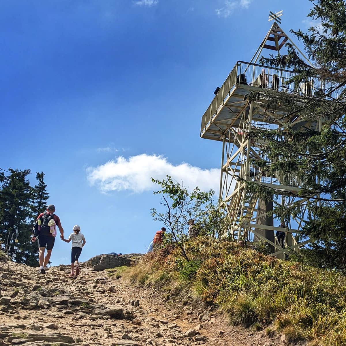
If time and energy allow, it's best to combine a walk along both streams with reaching the top of Barania Góra. We recommend first climbing to the top of Barania Góra via the blue trail, then resting and having a meal at the shelter, and returning to the trailhead via the comfortable road in the Czarna Wisełka Valley.
The entire loop is 18 km, with about 700 meters of elevation gain. Walking it, not counting stops along the way, at the top, and in the shelter, will take about 5.5-6 hours.
Who discovered the sources of the Vistula and when?
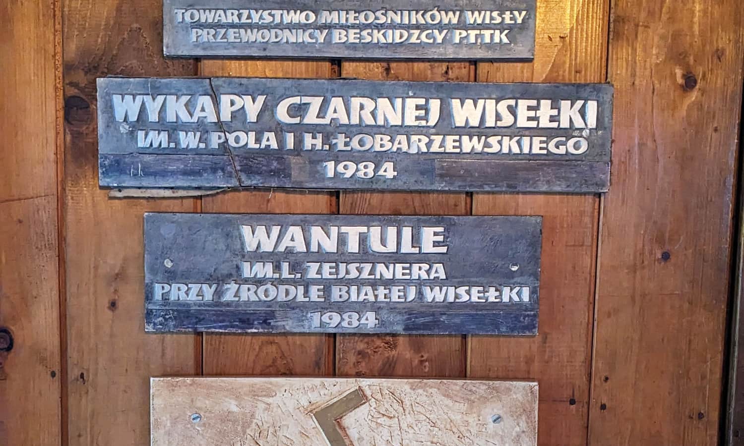
The mystery of the Vistula's sources fascinated scientists, historians, and naturalists from ancient times. In the 15th century, Jan Długosz described the 'Source under the Rock', the source of Biała Wisełka.
In the 19th century, scientists reached the sources of Biała and Czarna Wisełka. In 1843, geographer and poet Wincenty Pol, along with botanist Hiacynt Łobarzewski, located the sources of Czarna Wisełka, and in 1849, geologist and geographer Ludwik Zejszner visited Barania Góra. In 1984, commemorative plaques were placed at the sources in their honor: