Przysłop Miętusi and Wyżne Stanikowe Siodło - Red Trail from Nędzówka
Nearby: Zakopanebeach_access Route in the shade
Przysłop Miętusi
Nędzówka is a small hamlet before Kiry and the Kościeliska Valley. You can get here from Zakopane by heading towards the Kościeliska Valley - if you take a bus, get off at the Kościelisko Nędzówka stop. You can park your car, for example, at the entrance to the Kościeliska Valley. From Przysłop Miętusi, you can then descend to the Kościeliska Valley, making a loop.
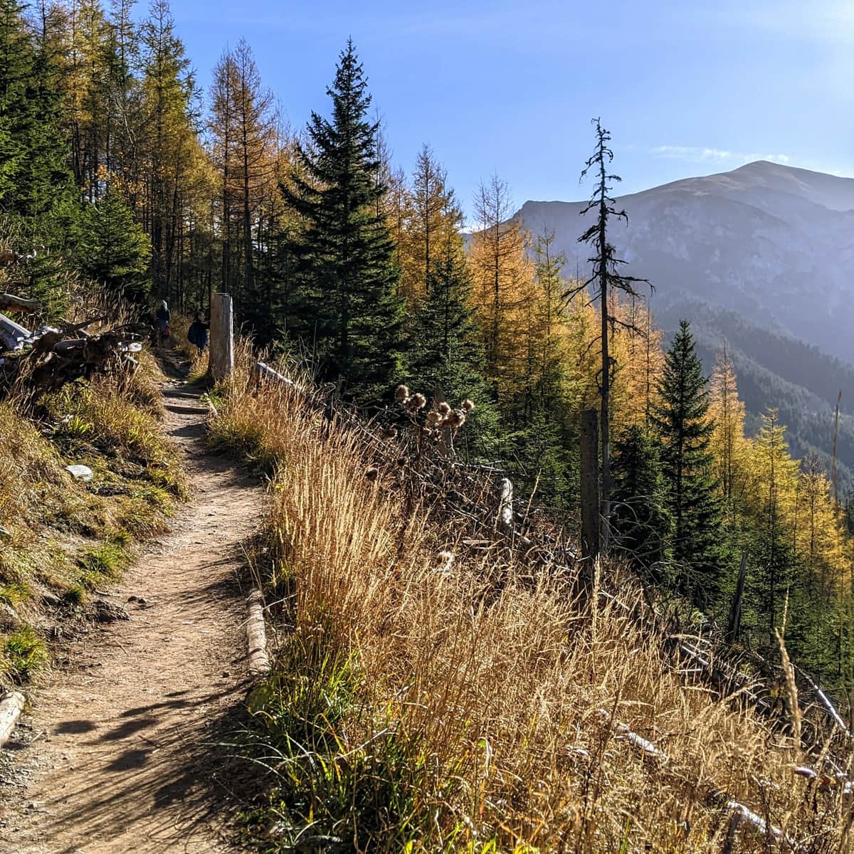
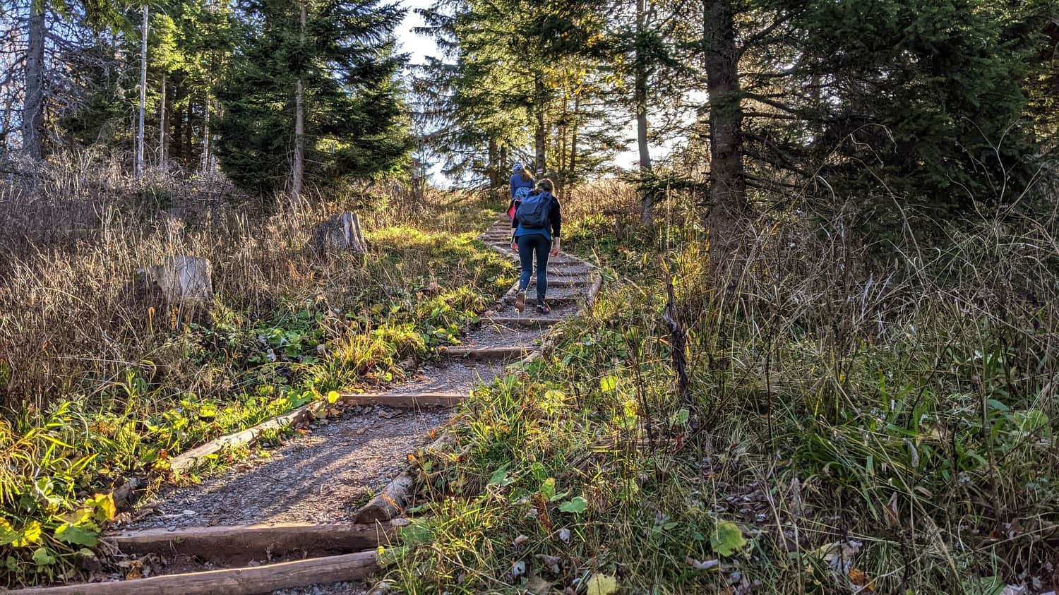
Red Trail to Przysłop Miętusi
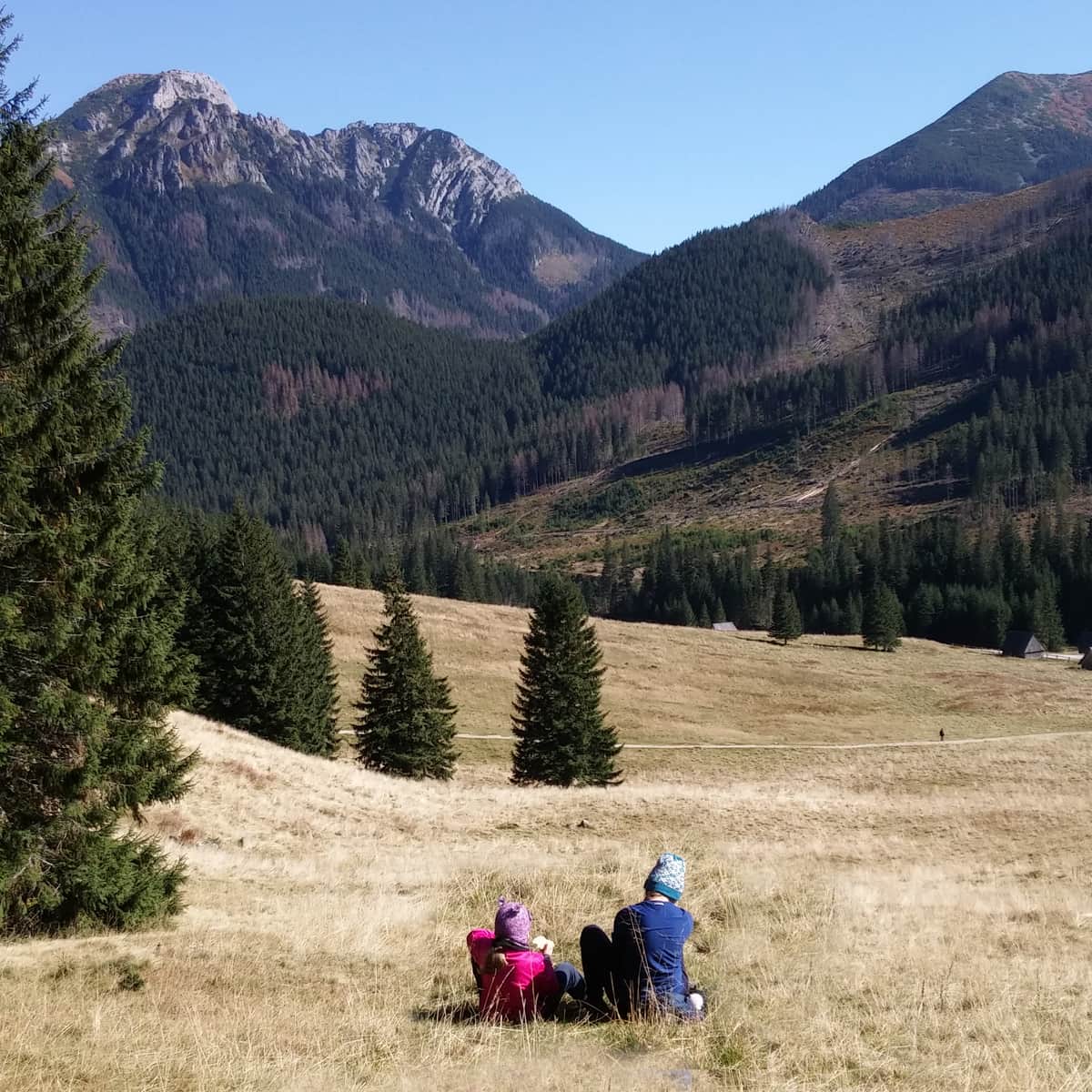
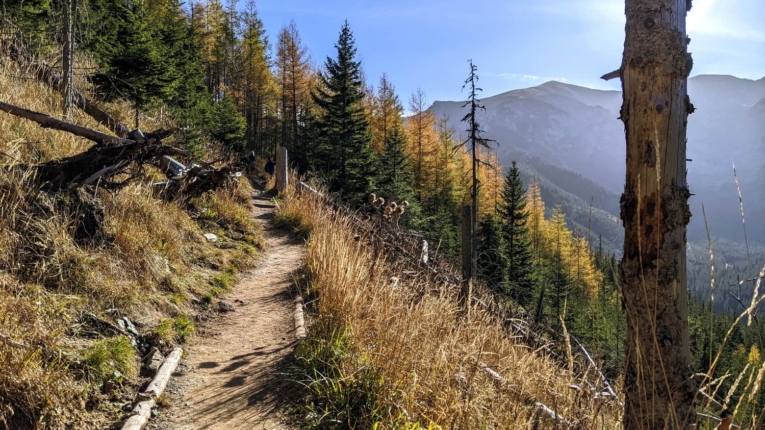
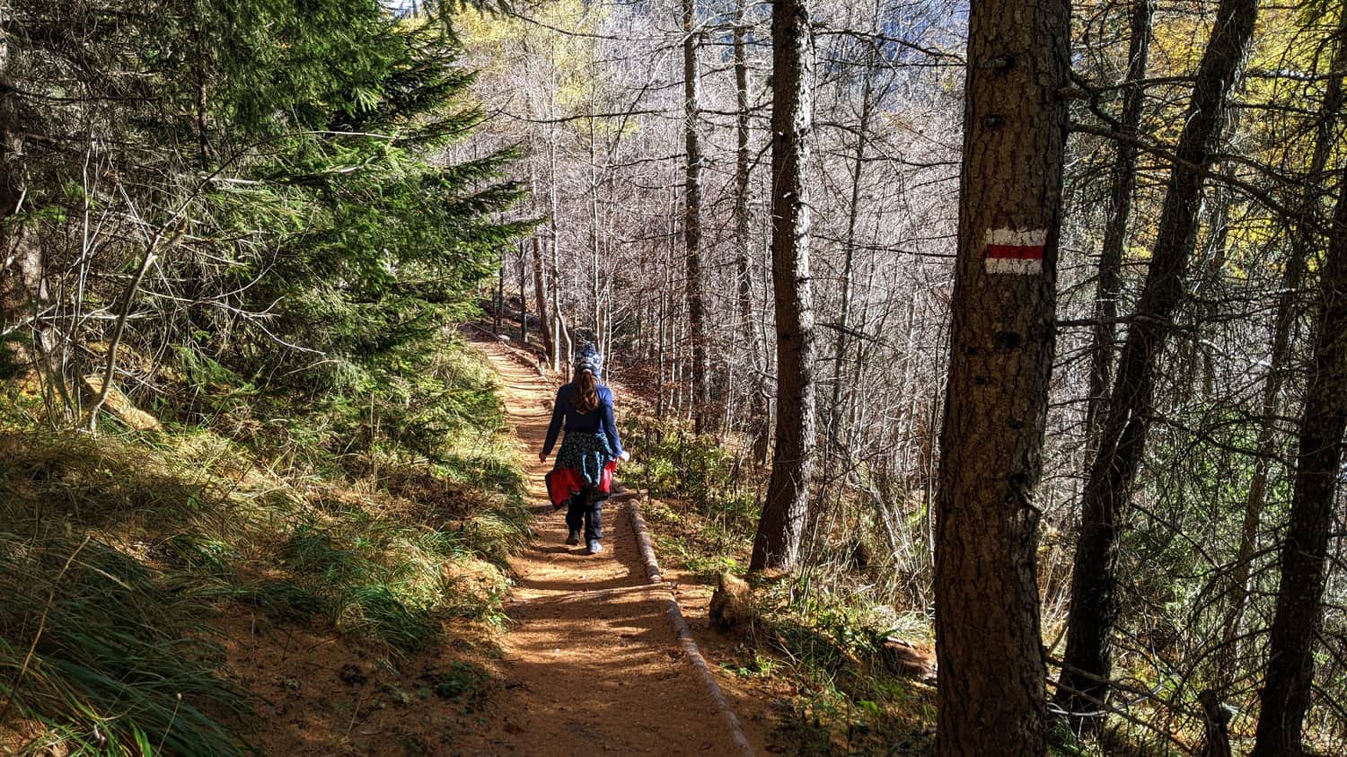
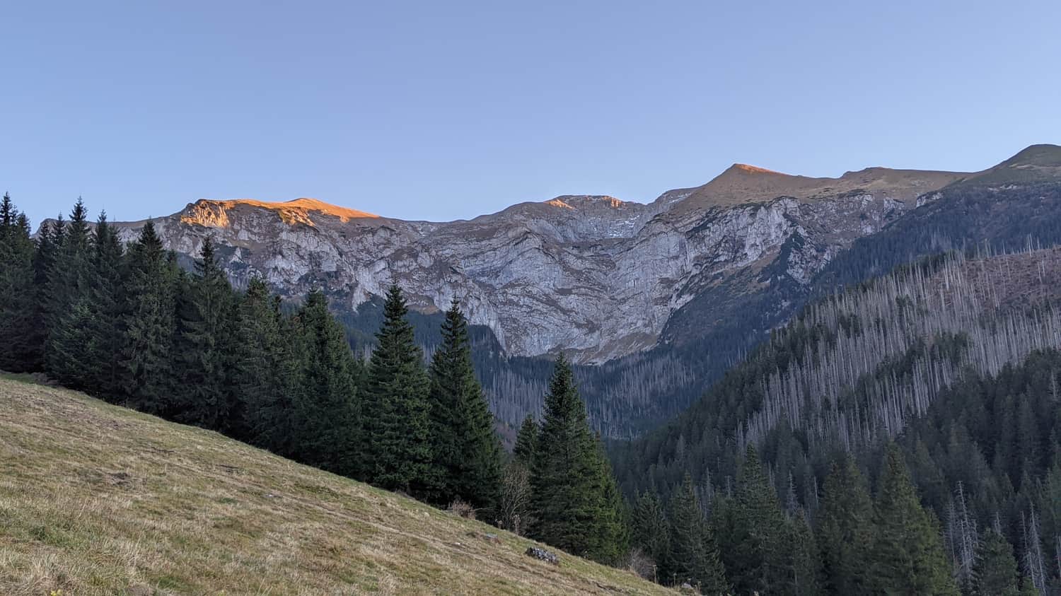
After a somewhat tedious climb, we reach a very scenic part of the trail - Wyżne Stanikowe Siodło. This is a pass between Hruby Regiel and Czerwony Gronik, and the views - wow! In front of us are Giewont and the Czerwone Wierchy massif. We are now above Przysłop Miętusi, which we will descend to via a narrow forest path.

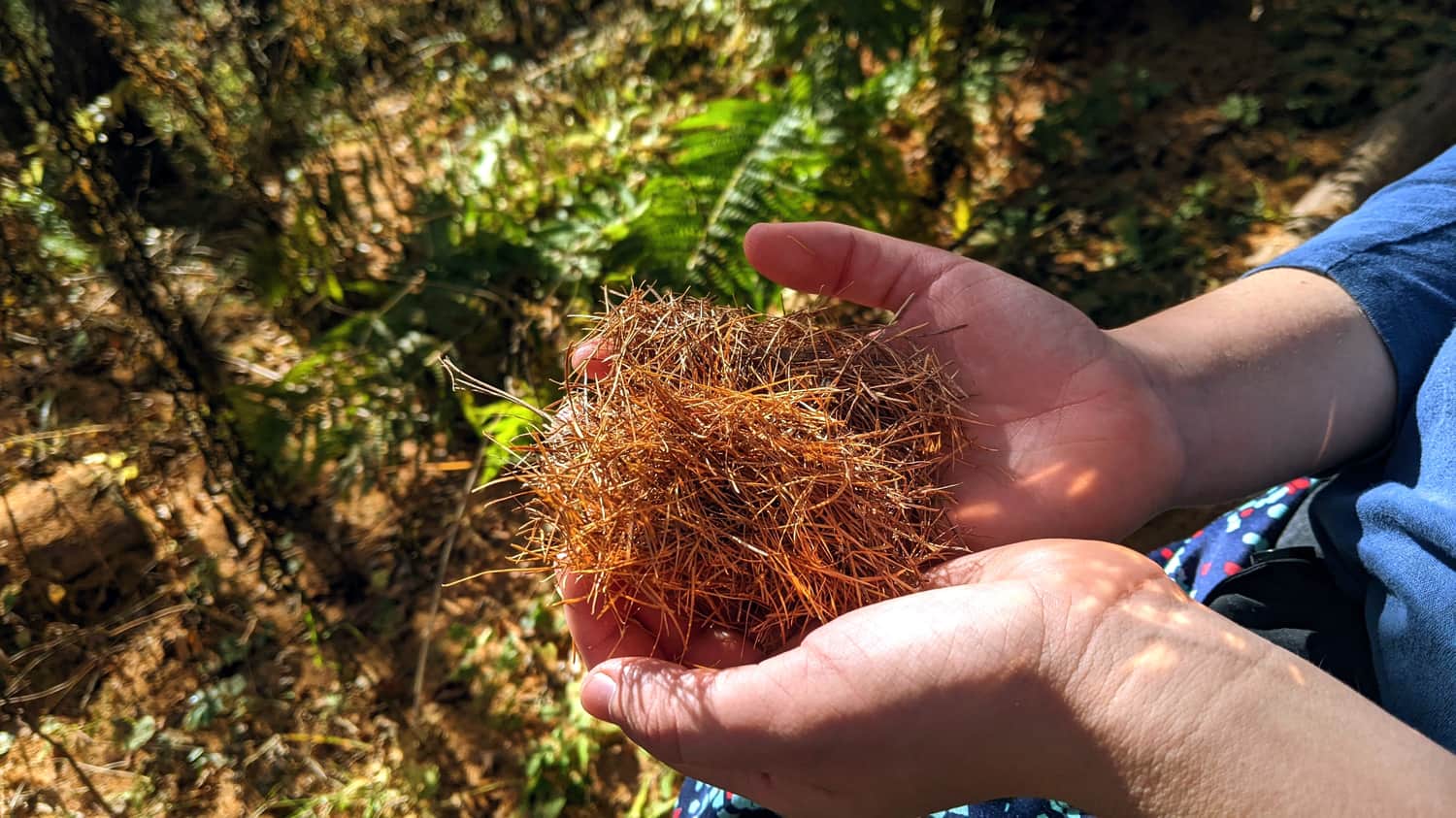
Larch and its Needles
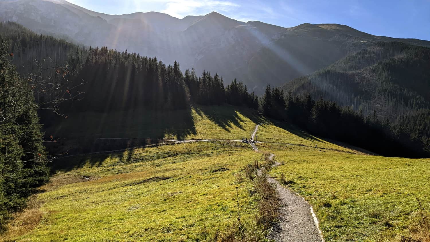
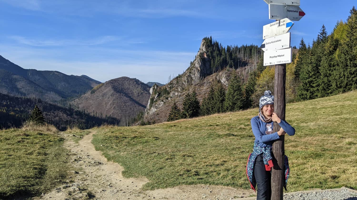
We reach our destination - Przysłop Miętusi. There are benches and a large meadow here where we can rest - although, as is often the case with passes between higher mountains, it is a windy place.
From Przysłop Miętusi, we can descend to the Kościeliska Valley.
Modrzew i jego igły
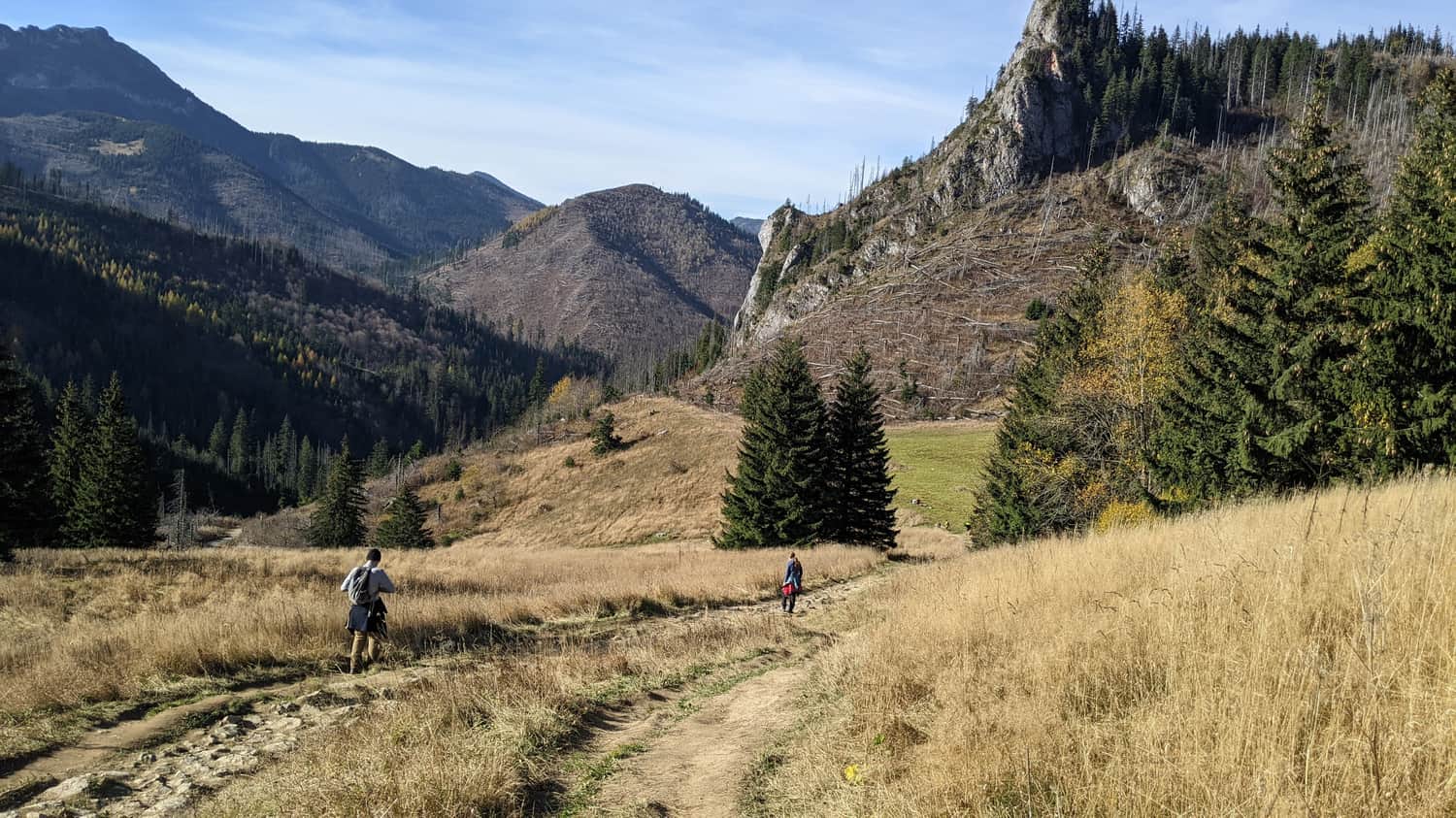
Na tej części szlaku idziemy przez zbocze, które porasta modrzew - jedyne drzewo iglaste, które gubi igły na zimę. W jesiennej porze ścieżka jest więc usłana jego złotymi igiełkami.
Przysłop Miętusi
Dochodzimy do celu naszej wędrówki - Przysłop Miętusi. Znajdują się tu ławeczki i rozległa polana, na której możemy odpocząć - choć, jak to bywa z przesmykami pomiędzy wyższymi górami, jest to miejsce, gdzie bardziej wieje.
Przysłop Miętusi to skrzyżowanie wielu szlaków - możemy stąd zejść do Doliny Kościeliskiej i Doliny Małej Łąki lub kontynuować wspinaczkę w stronę Małołączniaka, jednego ze szczytów Czerwonych Wierchów.
Z Przysłopu Miętusiego możemy zejść do Doliny Kościeliskiej.
Szlaki w okolicy:
Easy
Kościeliska Valley - Mountain Refuge at Hala Ornak

Difficult
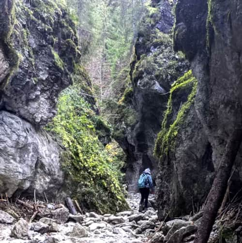
Krakow Gorge and Dragon's Lair Cave in Kościeliska Valley

Easy
Valley of Mała Łąka

Easy
Road under the Regle


Publish Date:
More in the Region Zakopane (Zakopane)