
Mount Szyndzielnia without the gondola: the fastest hiking route to the top
Nearby: Bielsko-Białabeach_access Route in the shade
restaurant Restaurant or bar nearby
directions_car Access by car
directions_bus Access by public transport
How to hike up Szyndzielnia? Szyndzielnia is a mountain above the city of Bielsko-Biała in southern Poland. If you do not want to use the gondola lift, we recommend the blue trail. It is the shortest and fastest way to the summit of Szyndzielnia. Warning! Do not walk uphill along the gondola line – it is very dangerous because a downhill bike trail runs there.
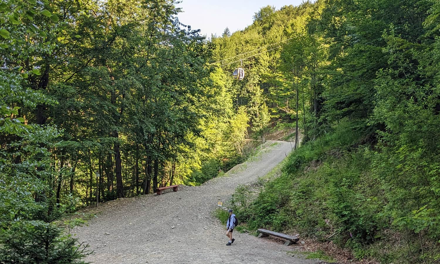
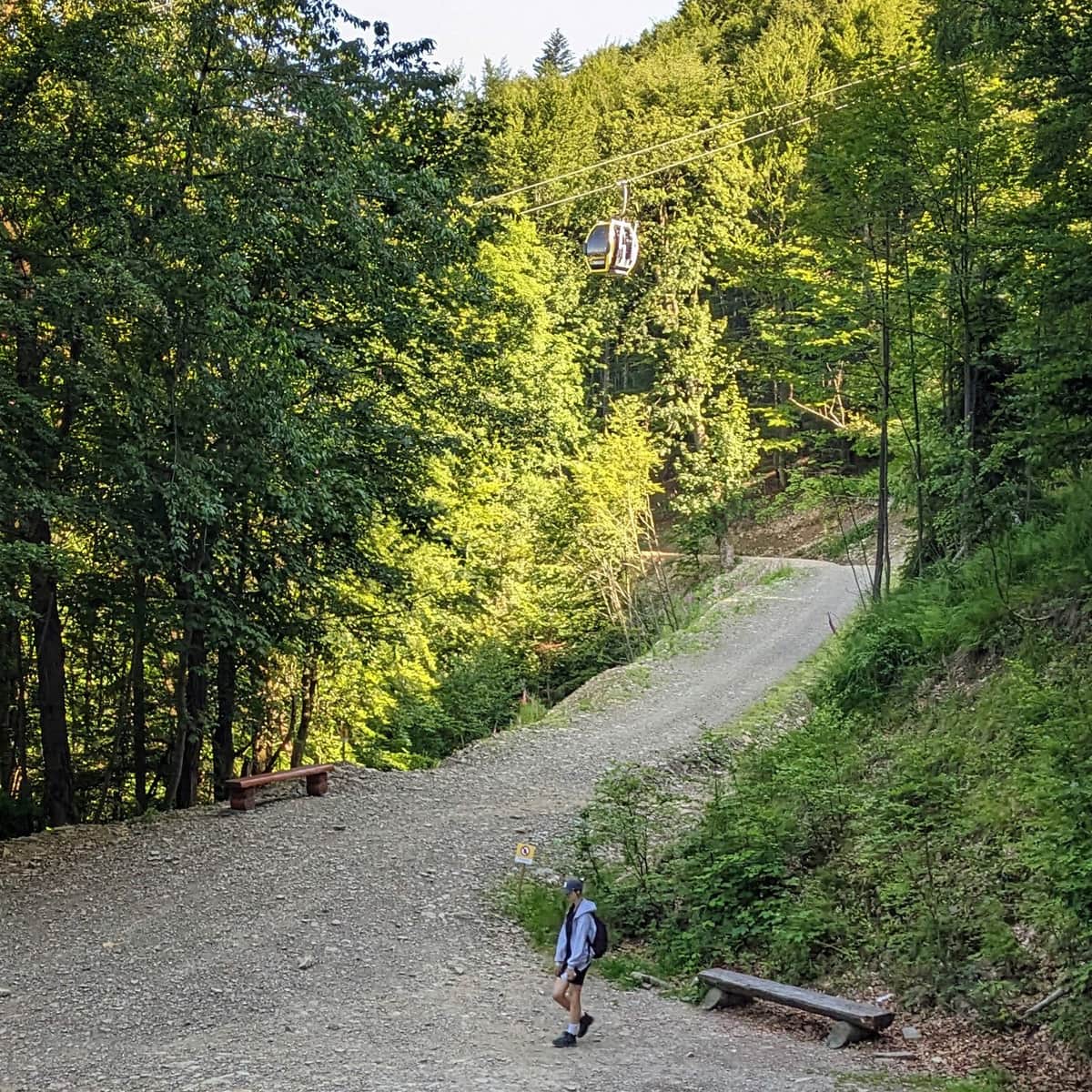
Start of the blue trail to Szyndzielnia
You will find the blue trail markers right by the lower station of the Szyndzielnia gondola lift (you can reach it from the bus stop or the car park by a wide asphalt road). The blue trail turns right into the forest just behind the gondola building. Note: in Poland, trail colors mark the route, not the difficulty.
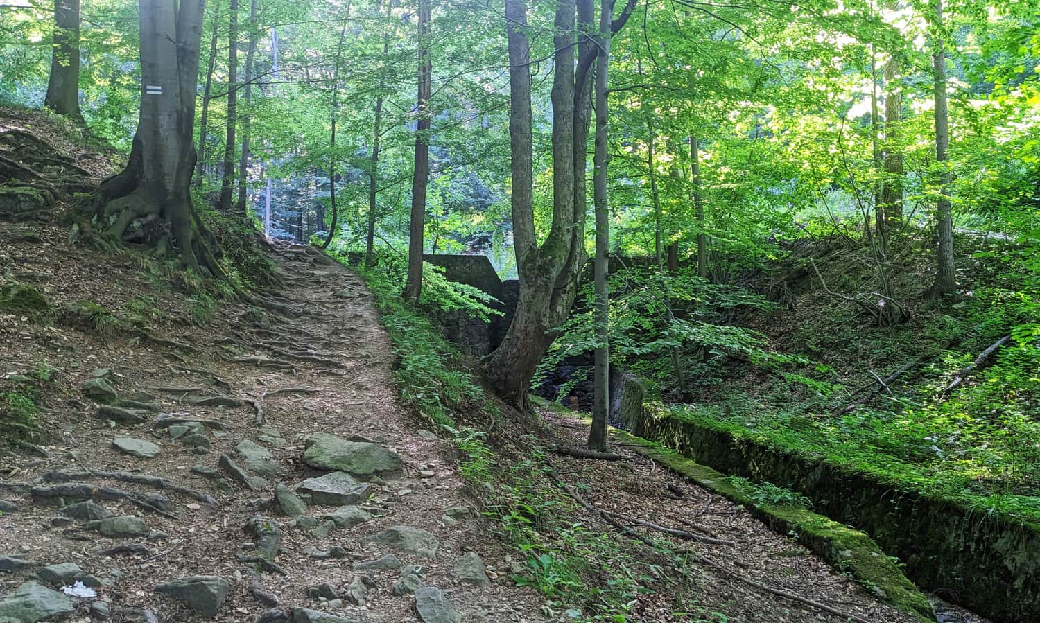
The blue trail is a short but steep forest path. The beginning is demanding and climbs quickly up the slope.
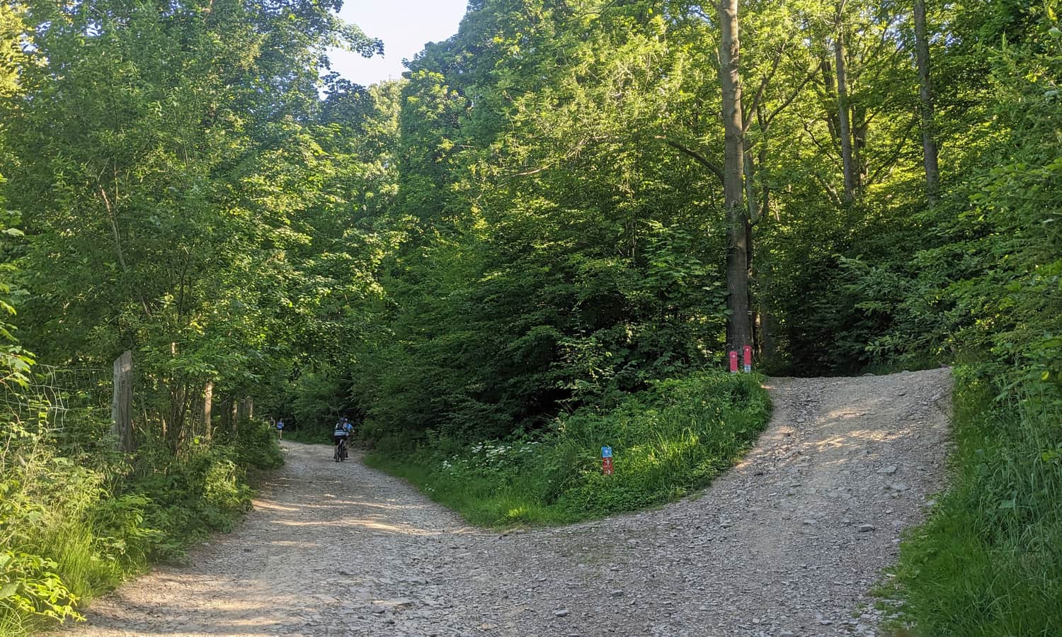
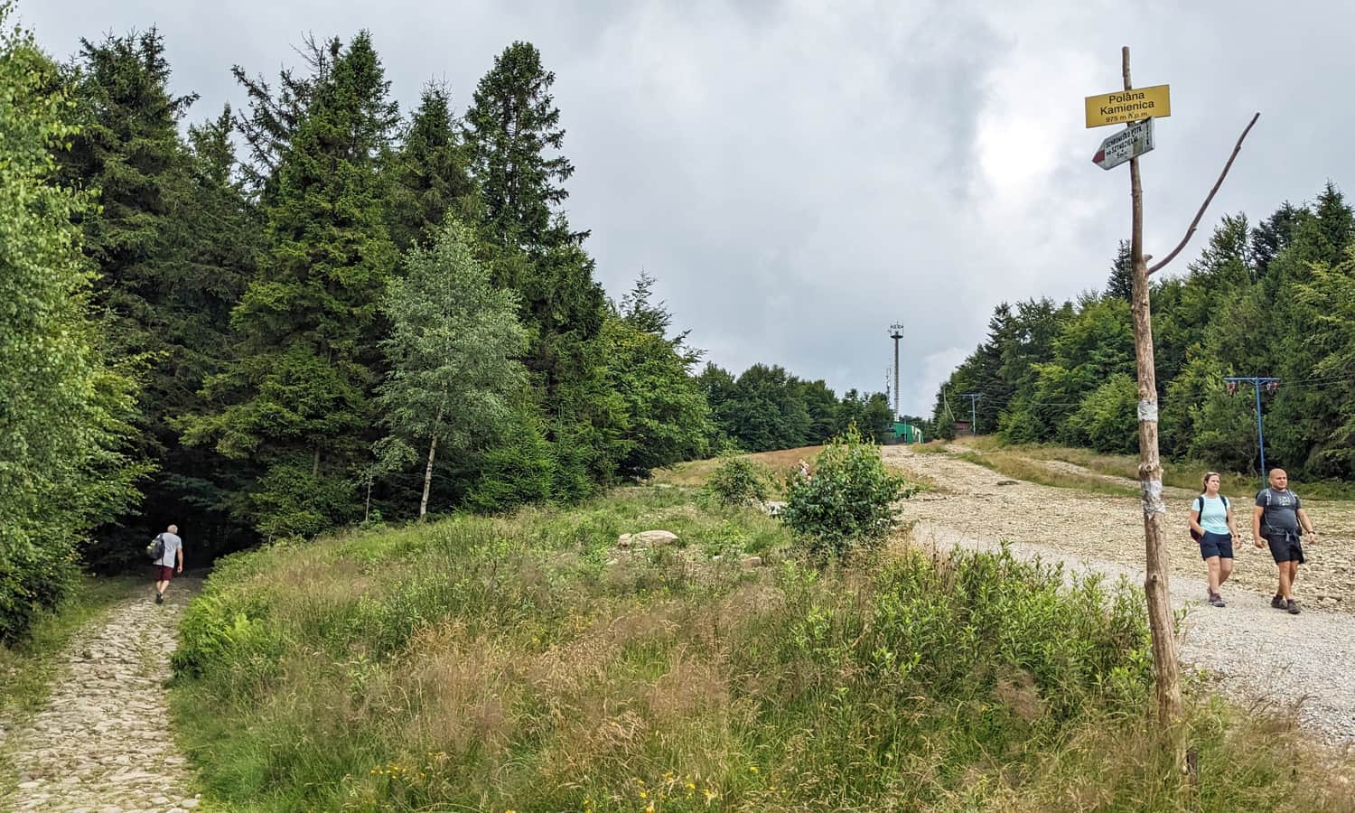
After about 1 km from the lower gondola station and more than 200 m of elevation gain, the forest path meets a wide gravel road. The blue markers end here, and from now on you will follow the red or green trail.
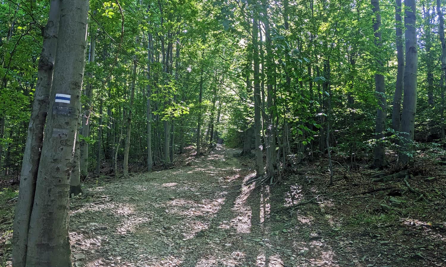
Red and green trails to Szyndzielnia
The red and green markers lead almost in parallel to the summit of Szyndzielnia – both start near the Dębowiec clearing.
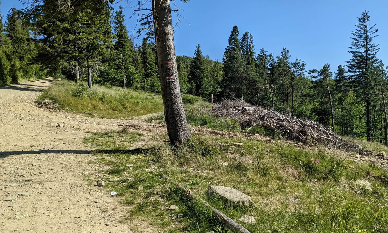
The red trail follows a road that zigzags gently toward the top, while the green trail cuts these bends on narrow forest paths. If you want to save time, choose the green markers; if you prefer comfort, choose the red.
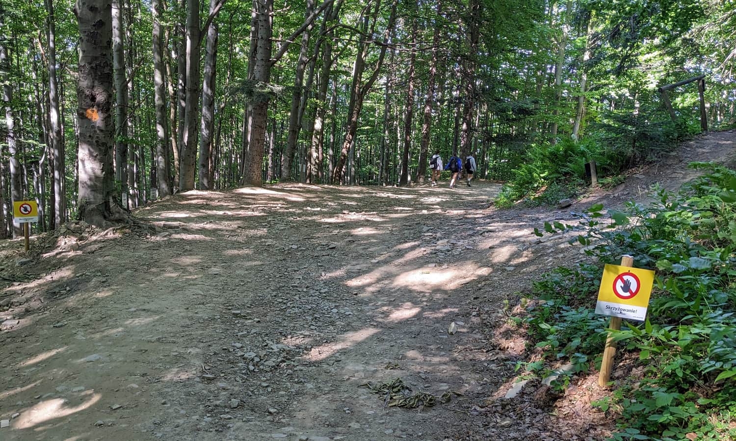
Warning! Both trails cross bike routes several times. These crossings are clearly marked. Look around and give way to fast downhill riders – it is easier for hikers to stop than for bikes.
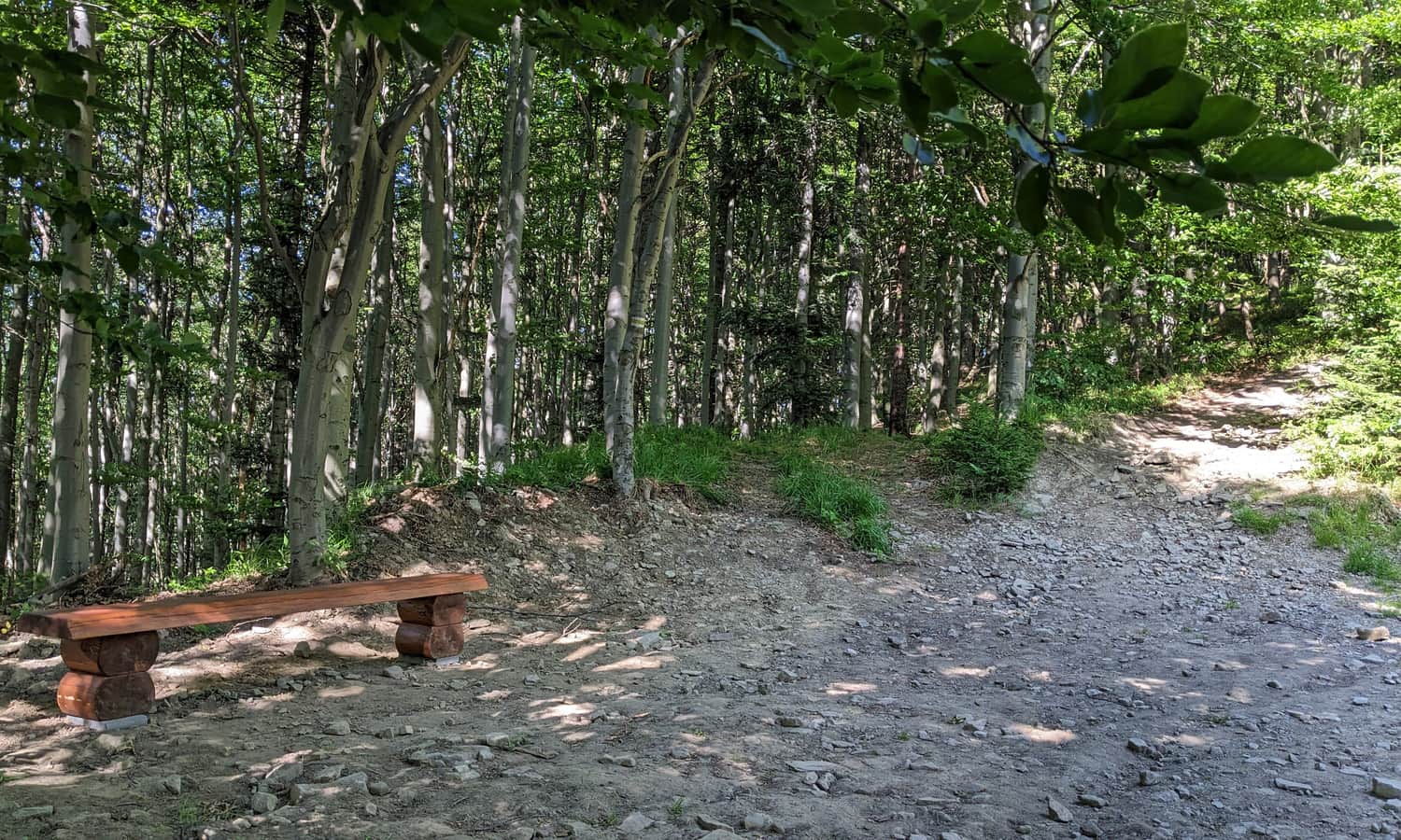
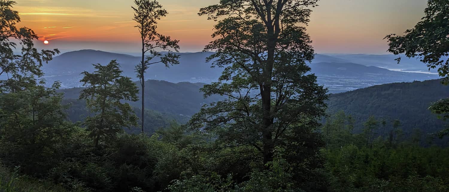
Just before you reach the upper gondola station, the forest thins and small viewpoints appear.
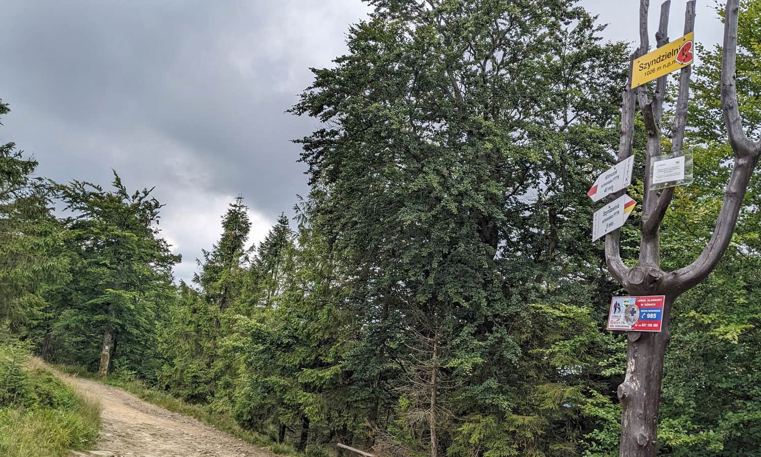
From the upper gondola station to the mountain hut and the summit of Szyndzielnia, 1,028 m a.s.l.
From the upper station it is about a 10‑minute easy walk to the mountain hut: either along the sunny slope or, following the markers, through the forest.
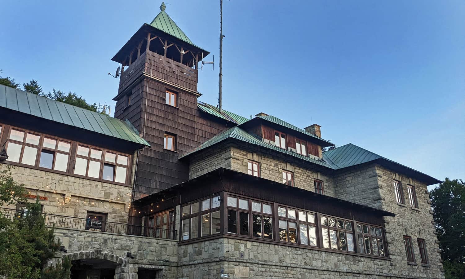
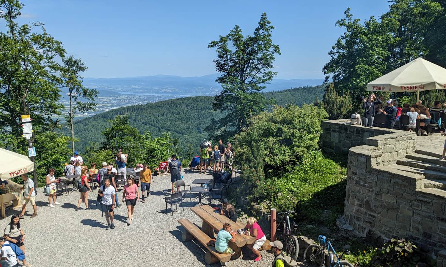
The Szyndzielnia mountain hut is a good place to rest and enjoy the views. To reach the actual summit, walk about 5–10 minutes more through the forest to the sign with the peak name. After your photo, you can return to the hut for views and snacks.
Read more about the Szyndzielnia hut, views, attractions, and other routes to the top here:

Mount Szyndzielnia – mountain hut, scenic views, and trails to the summit.
Szyndzielnia (1,028 m a.s.l.) is a peak in the Silesian Beskids with lots to offer. What is worth knowing, what attractions await at the top, and which trail should you choose to get there? ...

More in the Region Beskid Śląski (Silesian Beskid)


