Gorc Troszacki and Kudłoń from the Kamienica Valley
Nearby: Mszana Dolna| Distance | 8.9km |
|---|---|
| Time | 3h 56min |
| Ascents | 689m |
| Descents | 104m |
wb_sunny Route in the sun
directions_car Access by car
warning No dogs allowed
The route from Rzek through the Kamienica Gorczańska Valley (blue trail) and then the green trail through Polana Stawieniec is a long but gentle path to the incredibly scenic Gorc Troszacki meadow and the summit of Mount Kudłoń.
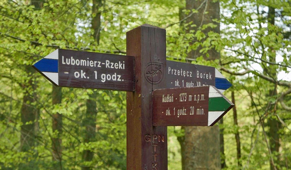
From Rzek through the Kamienica Valley to Kudłoń - the beginning of the trail
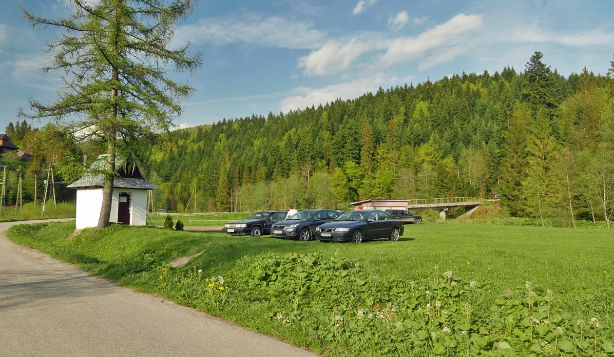
We start our hike at the parking lot near the blue trail in Lubomierz-Rzeki. We can also drive a bit further to Polana Trusiówka on the border of the Gorczański National Park. Both parking lots require a fee.
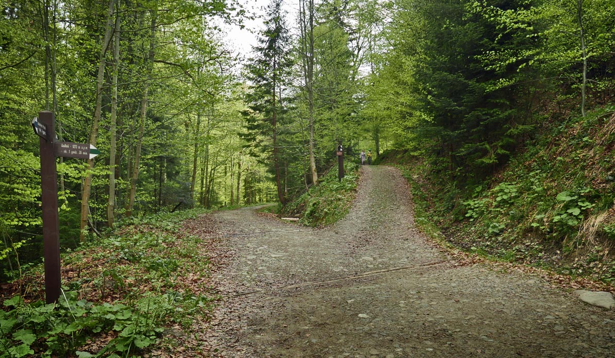
Kamienica Gorczańska Valley
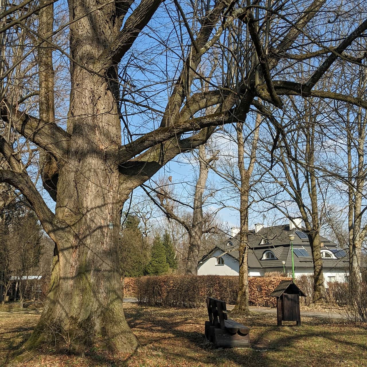
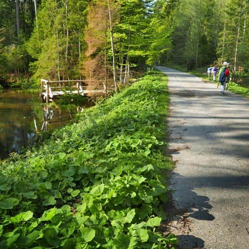
For the first 1.5-2 hours, we walk along a wide road along the Kamienica Gorczańska river.
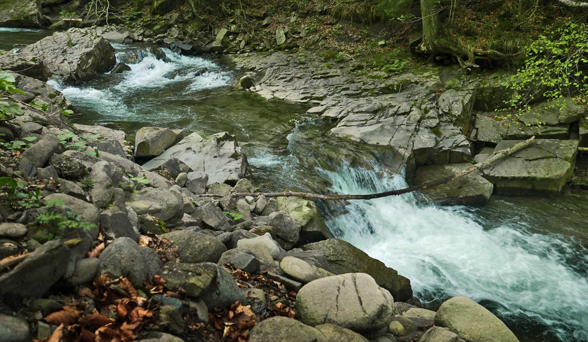
Along the way, we pass many interesting places, such as ponds for amphibians, forest streams, and beaver habitats.
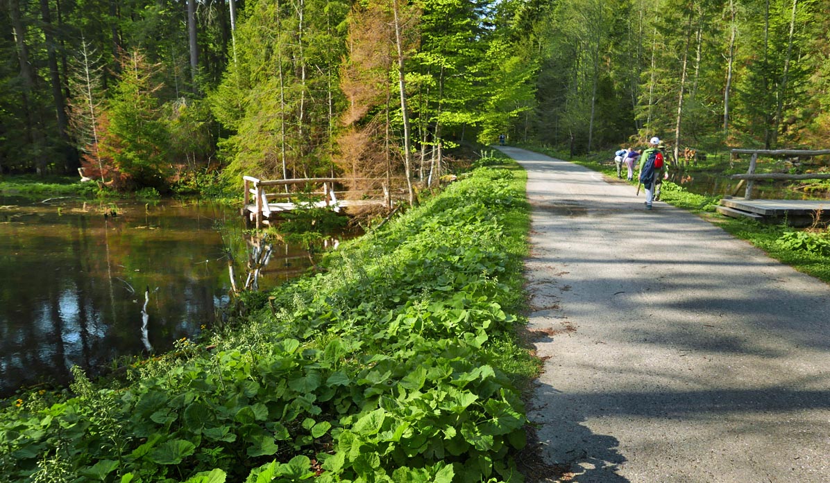
There are also many benches along this road, and occasionally with tables as well.
Easy
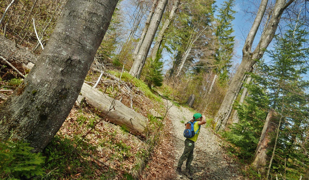
Valley of Kamienica, blue trail from Rzek

Green trail from the Kamienica Valley to Gorc Troszacki and Kudłoń
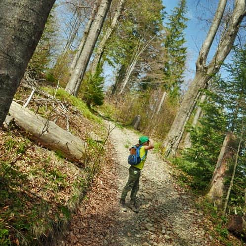
The climb begins on the green trail, which turns right from the valley and ascends through a forested slope.
The forest road is comfortable, leading with wide bends and without steep sections.
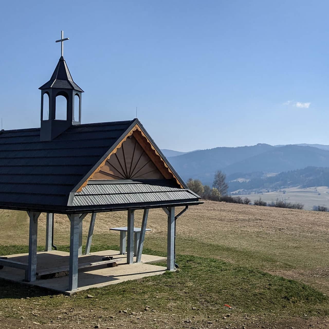
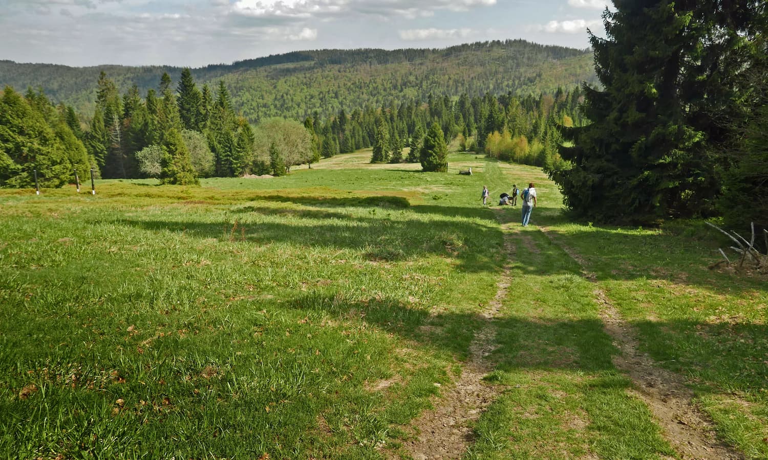
Scenic Polana Stawieniec
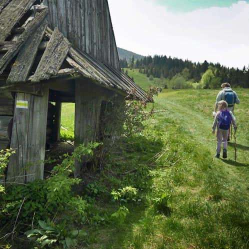
After about 40 minutes, we will reach Polana Stawieniec (a picnic area with an information board and the ruins of a shelter).
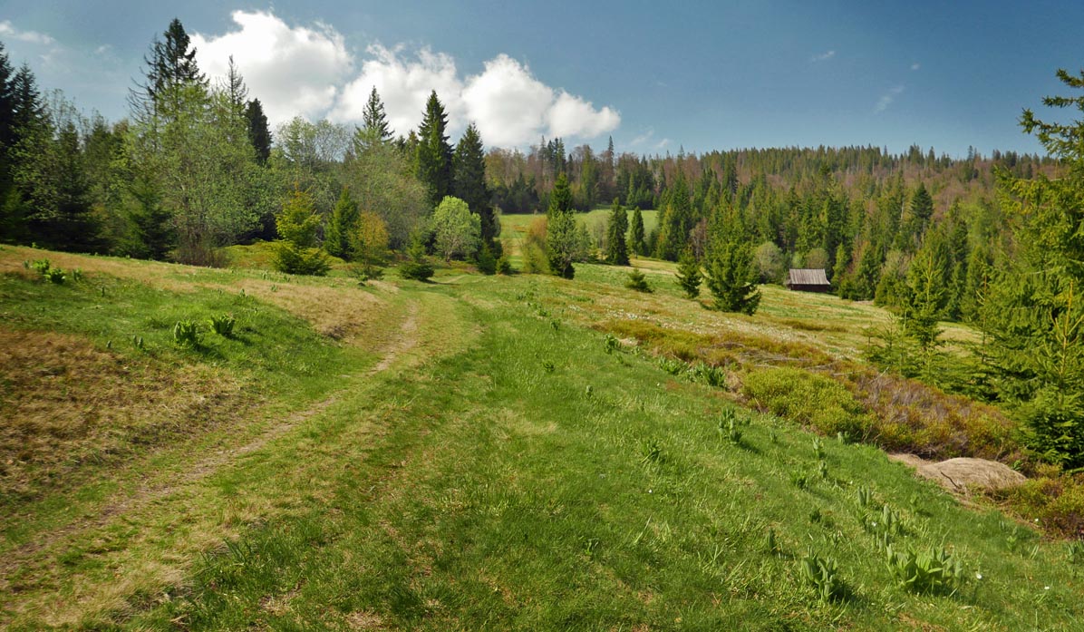
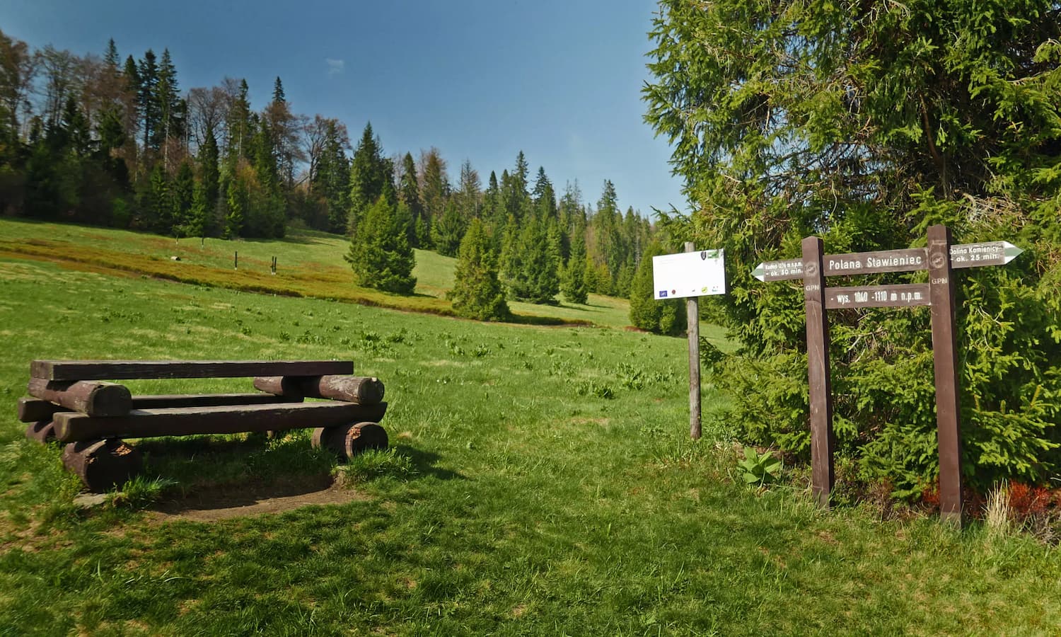
The most beautiful views from Polana Stawieniec, including the Gorc range, can be seen from its upper part.
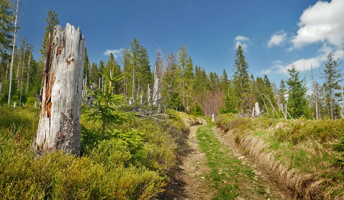
Green trail from Polana Stawieniec to Gorc Troszacki
From Polana Stawieniec, we enter the forest again.
In the upper part, just before the summit, the forest is heavily damaged. Broken trees provide no shade, so we will be climbing in full sun...
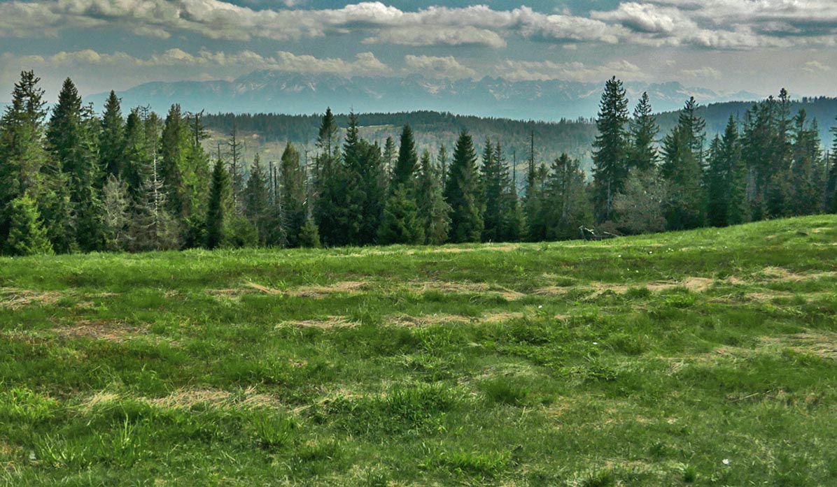
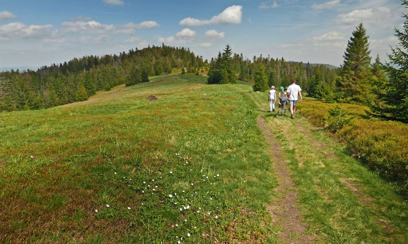
Gorc Troszacki and Kudłoń
Polana Gorc Troszacki offers us extraordinary panoramas - in two directions! From the north, we can see the Beskid Wyspowy mountains, and from the south, the Gorce and Tatra mountains!
The yellow trail along the ridge of the meadow will lead us to the summit of Kudłoń (about 30 minutes there and back).
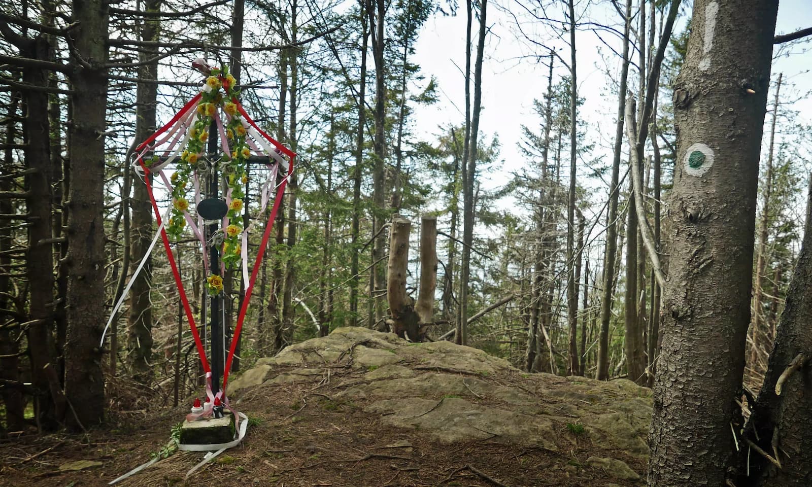
The summit of Kudłoń (marked by a black trail) is wooded and lacks even a signboard. Only a cross and a geodetic survey point can be found here.
From Kudłoń and Gorc Troszacki to Rzek
On the way back, we can either return the same way or, for a change, take the yellow trail:
Medium
Jaworzyna, Gorc Troszacki and Kudłoń - Yellow Trail

The yellow trail is steeper (but shorter) and leads through scenic meadows: Polana Podskały and Polana pod Jaworzynką.
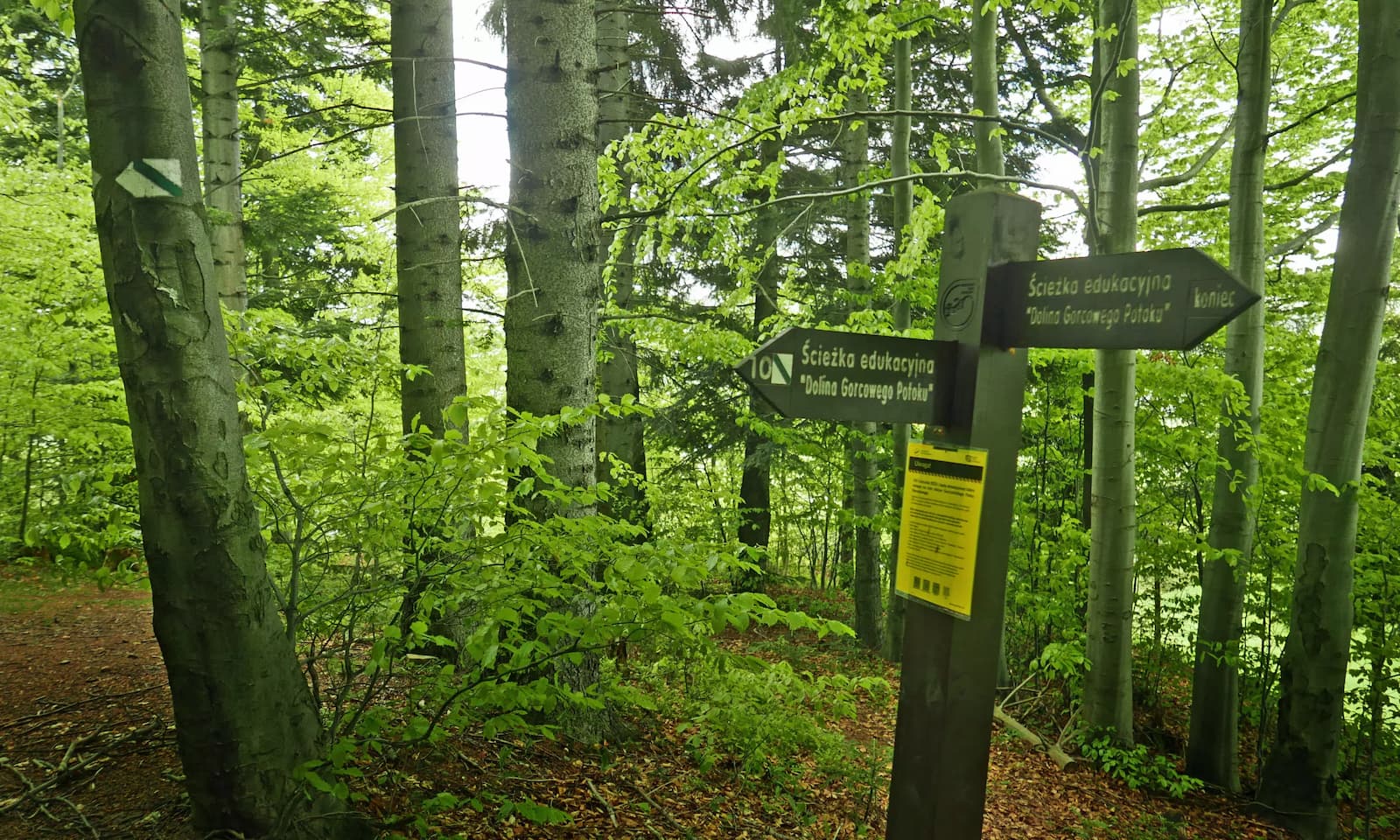
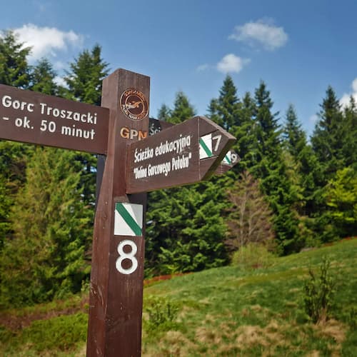
To complete the loop and avoid the busy road 968 before reaching the first buildings, turn onto the green educational path "Dolina Gorcowego Potoku," which will lead us through the forest to the Kamienica Valley and Polana Trusiówka. Here:
Medium
Dolina Gorcowego Potoku - Scenic Educational Trail

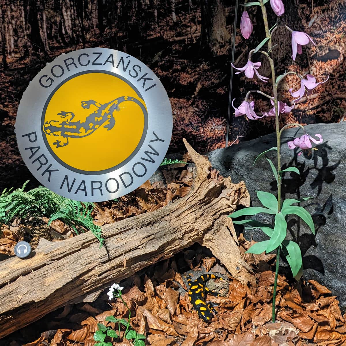
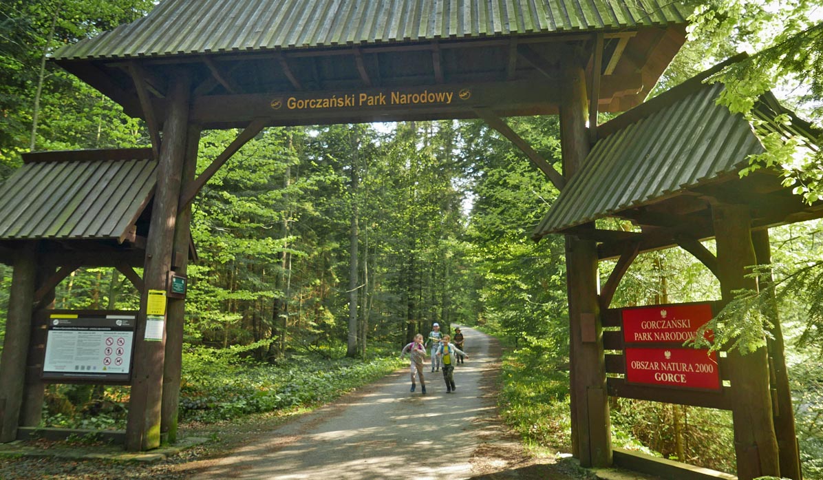
ATTENTION! The entire route is located in the Gorczański National Park - entrance tickets are required, and bringing dogs is prohibited.

More in the Region Gorce (Gorce)