Jaworzyna, Gorc Troszacki and Kudłoń - Yellow Trail
Nearby: Mszana Dolna| Distance | 5.7km |
|---|---|
| Time | 2h 57min |
| Ascents | 616m |
| Descents | 89m |
wb_sunny Route in the sun
directions_car Access by car
directions_bus Can be reached by bus
warning No dogs allowed
The Yellow Trail from Lubomierz - Rzeki to Gorc Troszacki and Kudłoń is a beautiful scenic route where we will be able to enjoy various Gorc meadows. There are two challenging forest sections (the ascent to Jaworzyna and Gorc Troszacki), which are steep and difficult, but for the most part, the trail is relatively gentle. So, we invite you to...
The Most Scenic Trail in the Gorc Mountains!
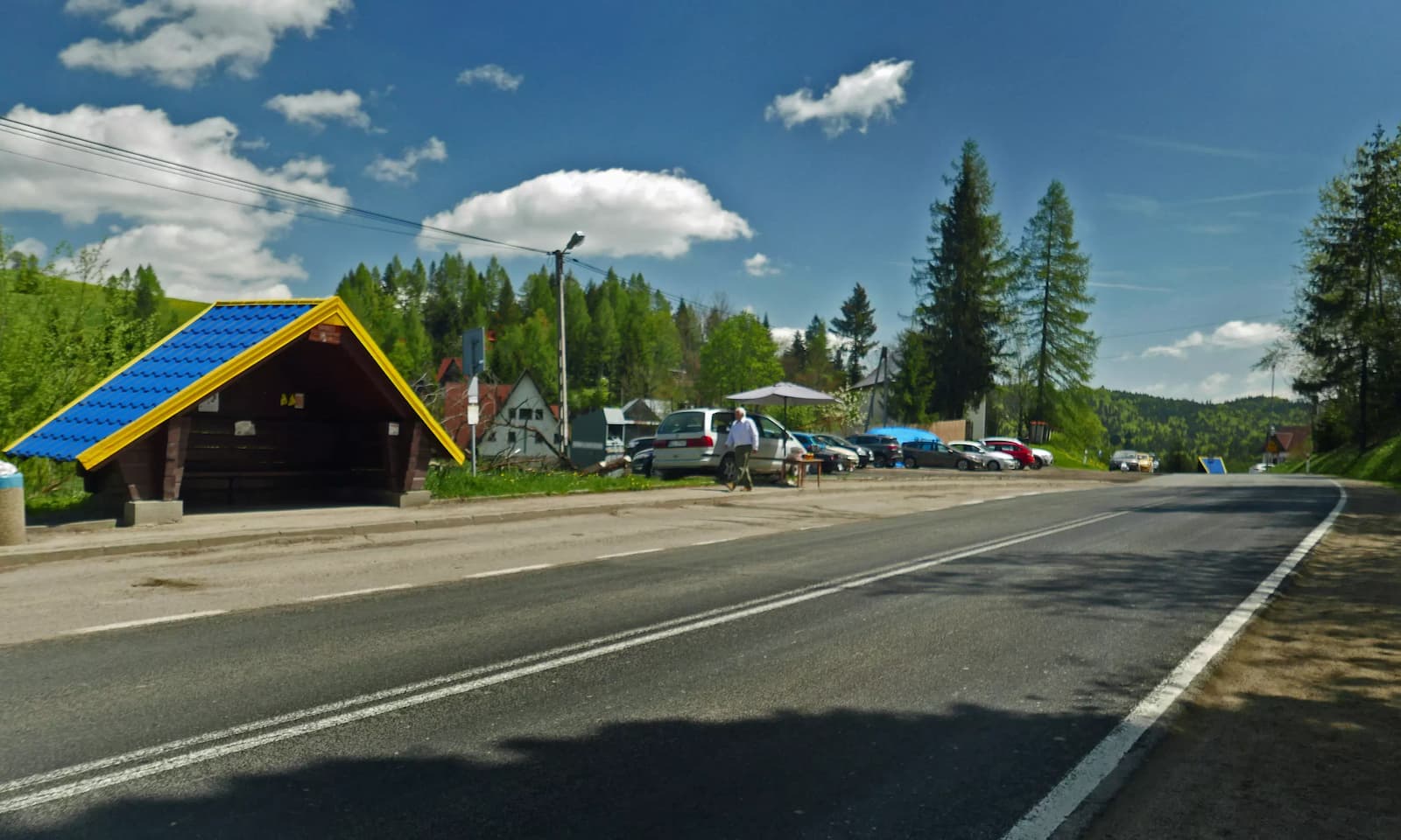
Starting Point of the Yellow Trail from Rzeki to Kudłoń
The Yellow Trail from Rzeki to Kudłoń starts near road 968. There is a PKS bus stop and a fairly large car bay (free parking) located here.
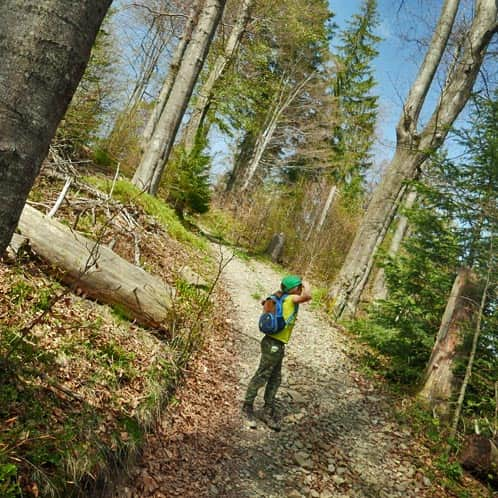
Initially, we walk along a village road, passing the last buildings. After crossing a narrow ravine along the meadows, we enter the forest.
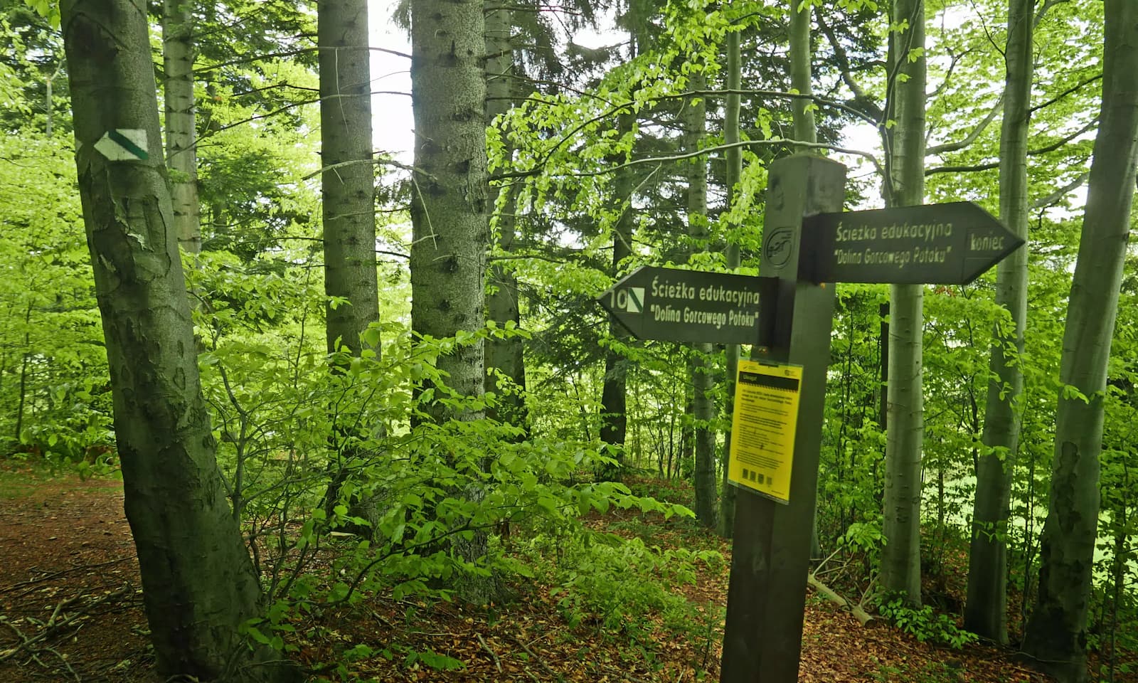
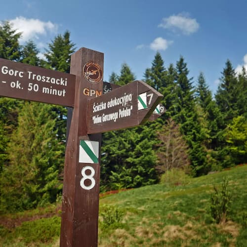
In the forest, the green educational trail Dolina Gorcowego Potoku >>> joins us from the meadow and parking area of Trusiówka (you can also start our hike from there - instead of walking along the village road, we can directly enter the forest, parking at Trusiówka requires a fee).
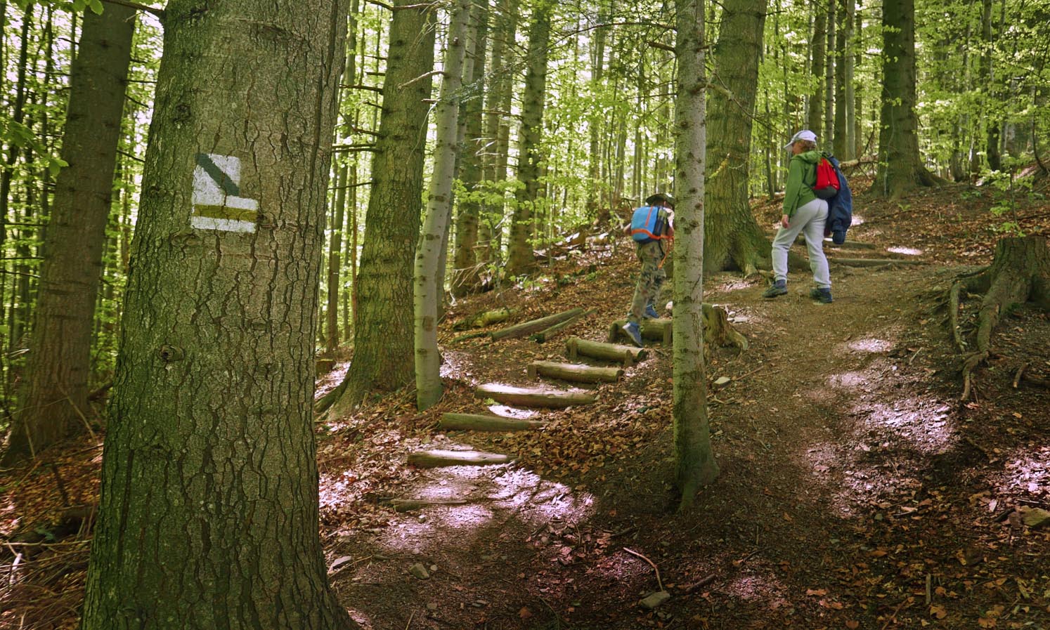
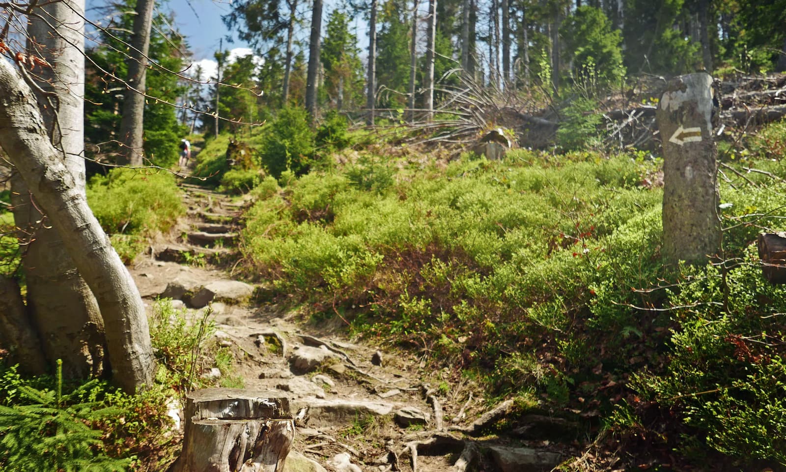
Now, the first more challenging (= steep) section awaits us, including some "forest stairs"...
Gorc Mountains: The Most Beautiful Trail with Views
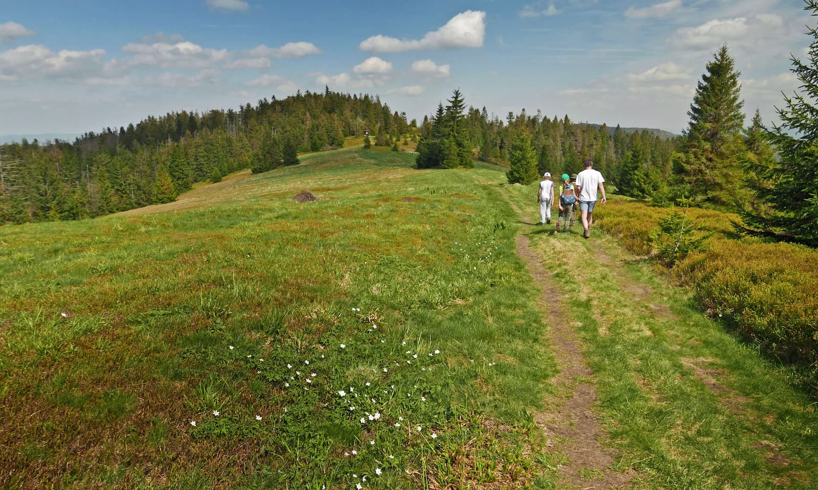
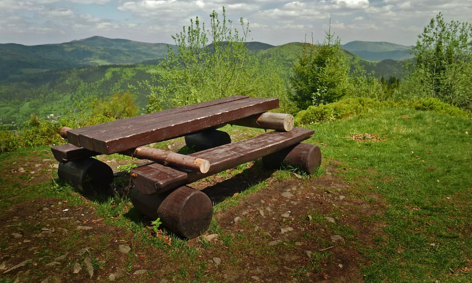
After exiting the forest, a reward awaits us! The first of the scenic meadows, of which we will encounter several along this trail. From this point onwards, we will be walking "from one meadow to another", and beautiful views and mountain panoramas will surround us at every step! Each meadow has a board with a description of the visible peaks.
Pod Jaworzynką Meadow
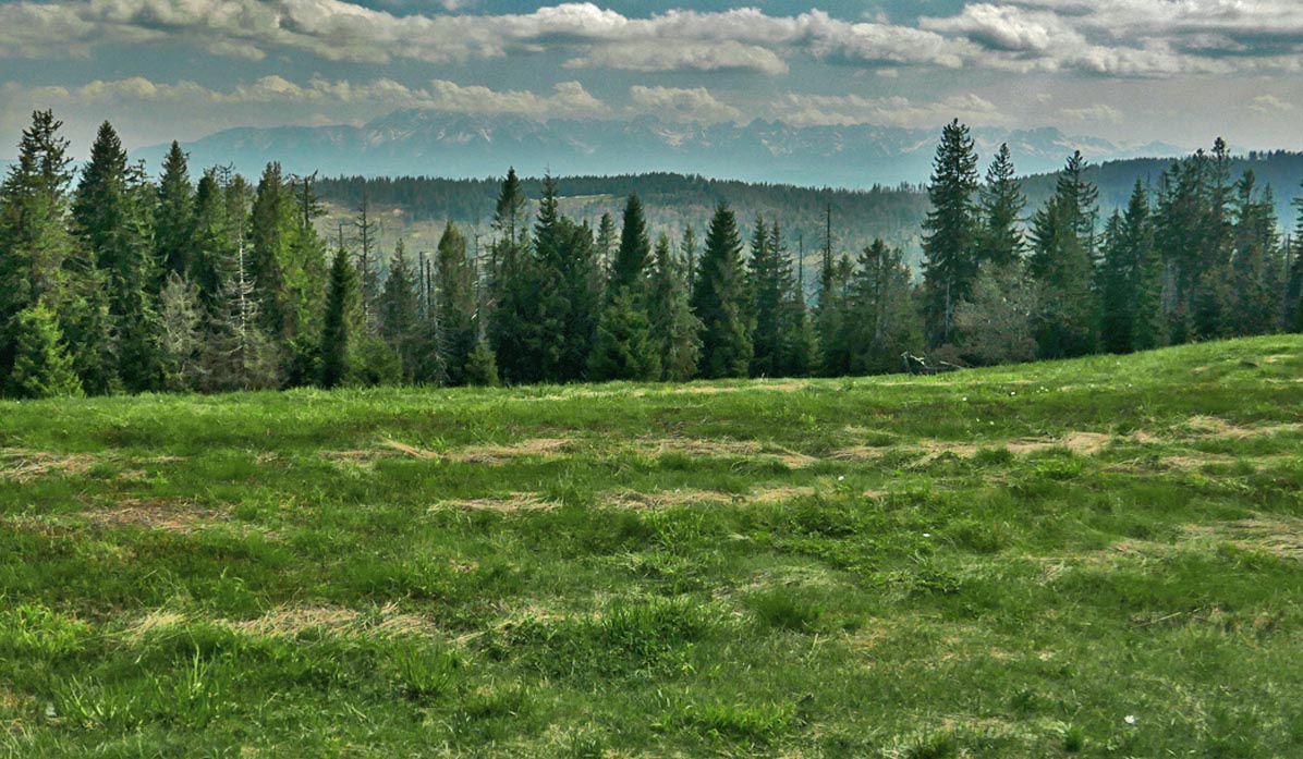
From Pod Jaworzynką meadow, there is a beautiful view: from the Wyspowy Beskids, including the Mogielica peak (you will recognize it by the tower) in the north:
...to the majestic massif of Gorc - also with a tower, but on the southeast side (standing with your back to the forest, on the top right side of the meadow):

Podskały Meadow
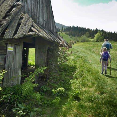
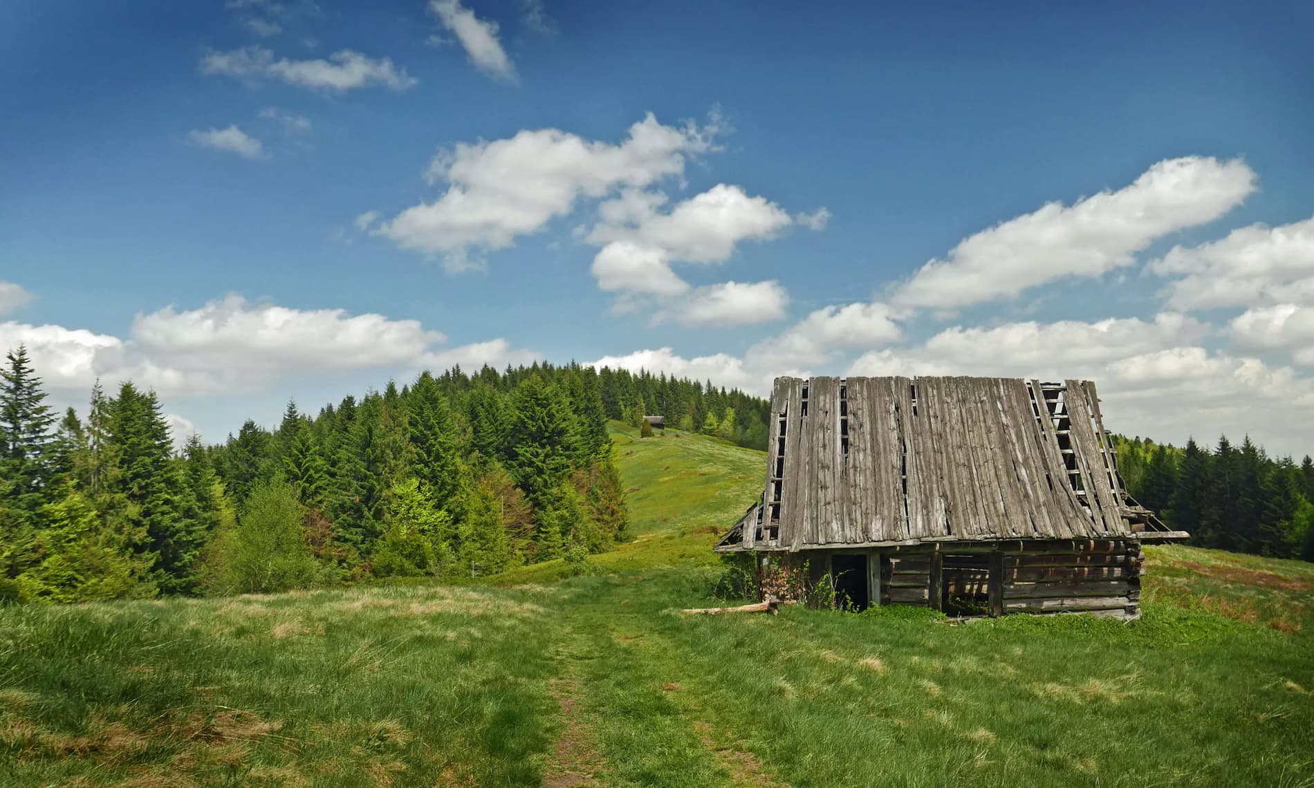
This is a large, picturesque meadow with preserved wooden shepherd huts:
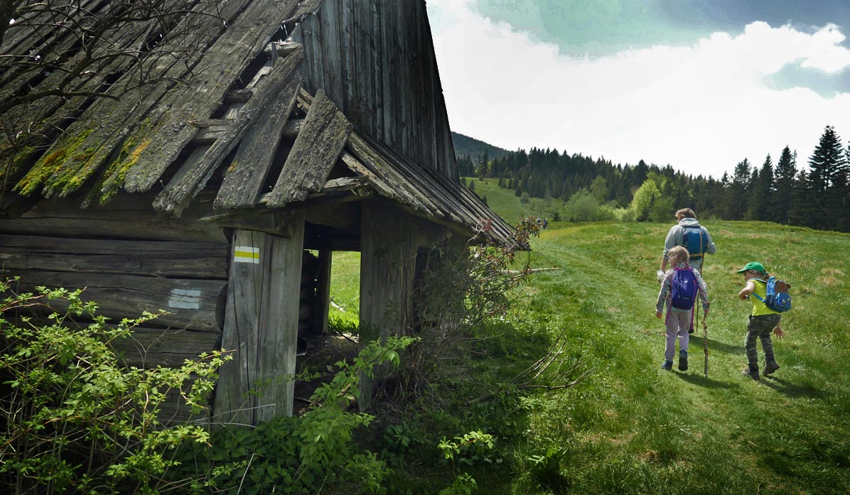
From Podskały Meadow, we enter the forest again, and another climb awaits us. It will be quite steep in some places...

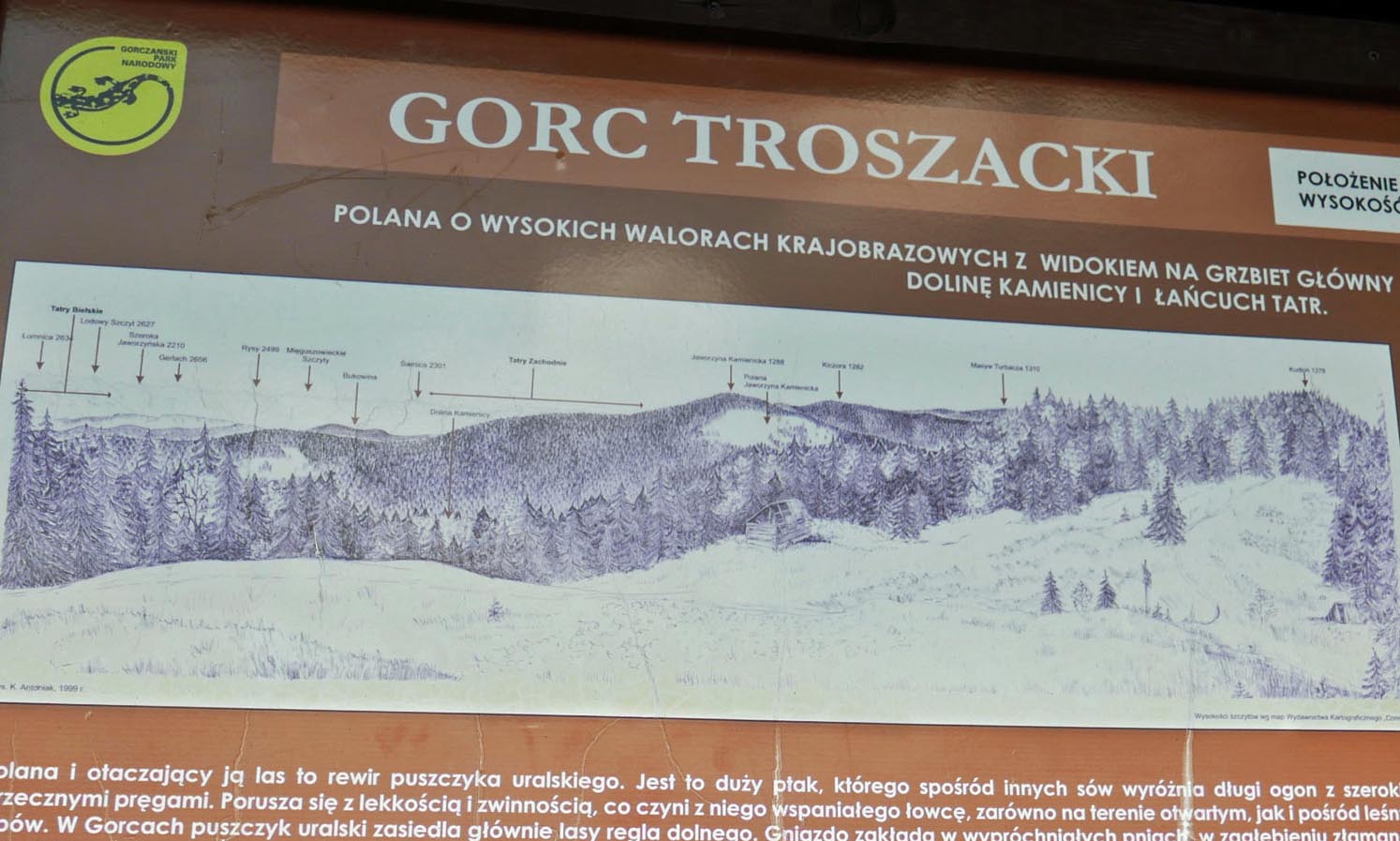
Gorc Troszacki and Kudłoń Meadow
A panoramic view of the Tatra Mountains, including the Rysy peak, awaits us at the Gorc Troszacki meadow, and on the northern side of the meadow, we can see the peaks of the Wyspowy Beskids.
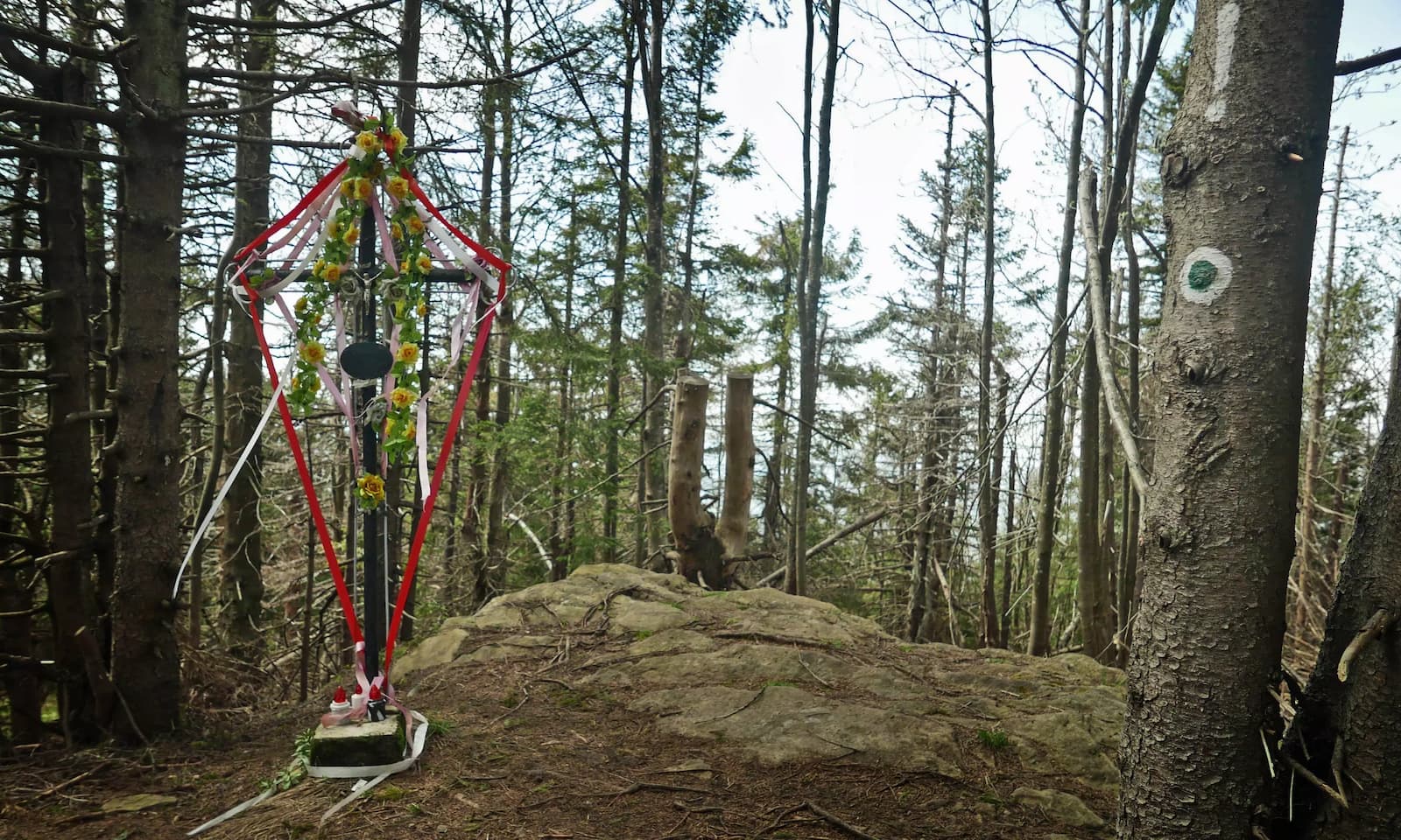
If we want to reach the summit of Kudłoń, we walk along the ridge of the meadow towards the forest, where we briefly turn onto the black trail. The summit of Kudłoń is forested (there is not even a sign...). We will only find a cross and a survey point there. The round trip from Gorc Troszacki meadow to Kudłoń summit will take about 30-40 minutes.
From Gorc Troszacki and Kudłoń to Rzeki
On the way back, we can return the same way, or for a change, we can take the green trail through Stawieniec Meadow to the Kamienica Gorczańska Valley, which will lead us to Rzeki on the blue trail. This will be a gentler, slightly longer route, but it also has its attractions!
Medium
Gorc Troszacki and Kudłoń from the Kamienica Valley

If we want to return to the yellow trail from the Kamienica Valley and avoid walking along the busy road 968, we can use a section of the educational trail "Dolina Gorcowego Potoku" and cut through the forest from Trusiówka Meadow using its green markers. In this way, we can reach the yellow trail in half an hour, while walking to road 968 and along it to the parking lot at the yellow trail would take us about an hour.
Medium
Dolina Gorcowego Potoku - Scenic Educational Trail


Publish Date:
Last Updated:
More in the Region Gorce (Gorce)