From Przełęcz Przegibek to Magurka Wilkowicka
Town: Miedzybrodzie Bialskie Nearby: Bielsko-Biała| Distance | 2.0km |
|---|---|
| Time | 1h 9min |
| Ascents | 260m |
| Descents | 12m |
beach_access Route in the shade
restaurant Restaurant or bar nearby
directions_car Access by car
directions_bus Can be reached by bus
wc Toilet along the route
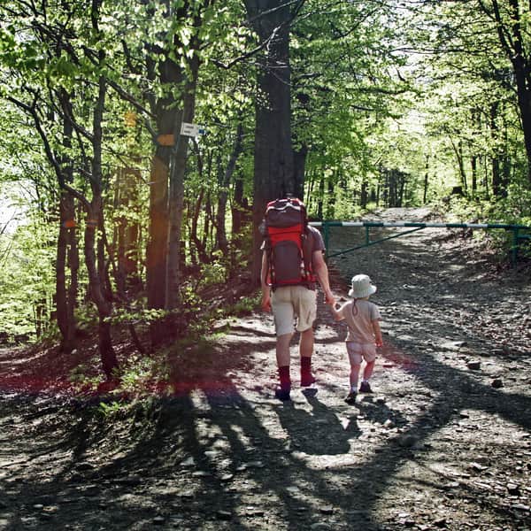
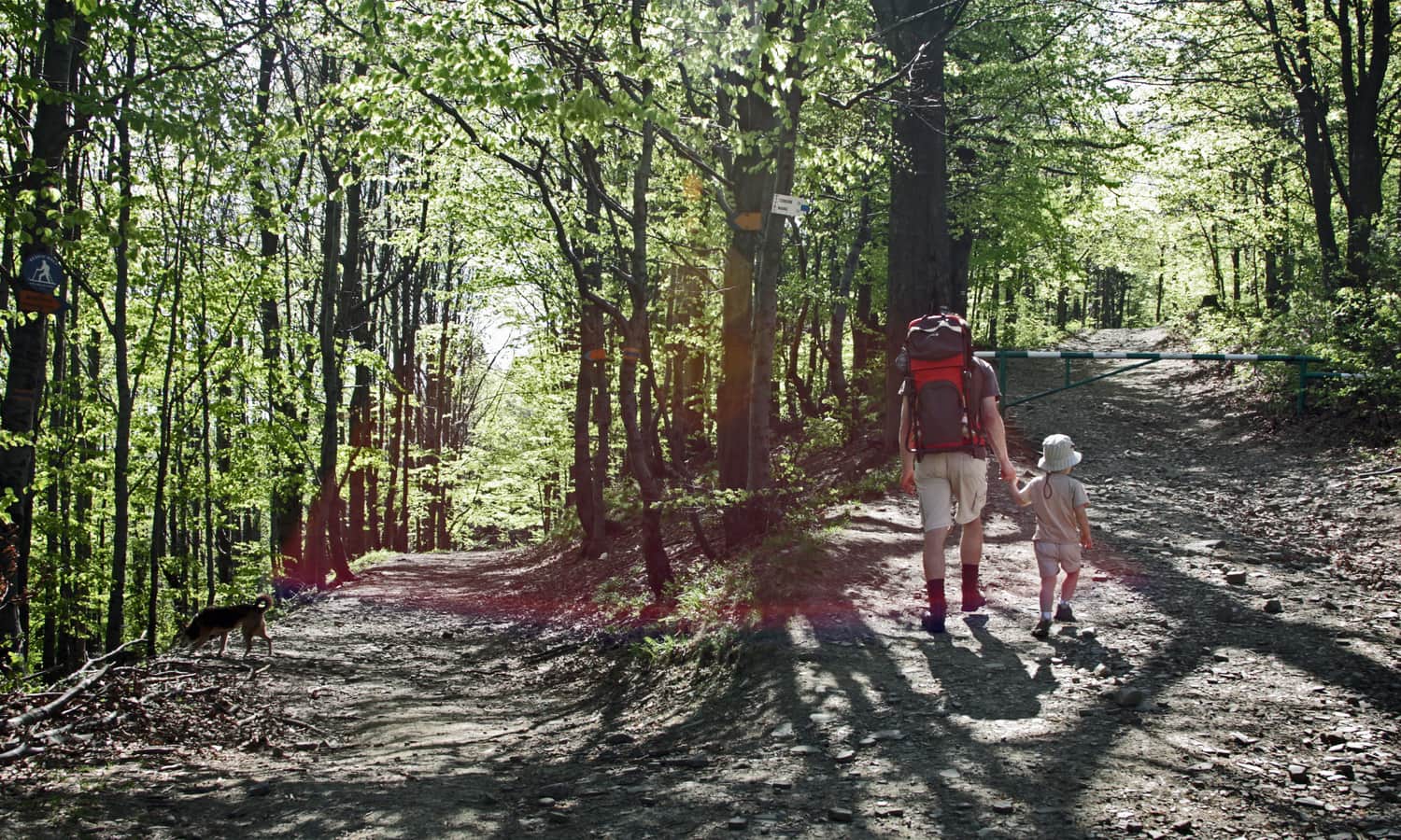
The shortest and easiest trail to Magurka Wilkowicka in the Little Beskids leads from Przełęcz Przegibek. The trail is easy, pleasant, perfect for young hikers. Most of the route follows a wide forest road. Towards the end, there are more sunshine and views, and at the destination, there is a shelter with a large meadow.
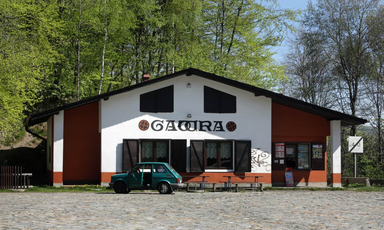
Parking at Przełęcz Przegibek
The easiest way to get to Przełęcz Przegibek is by car - there is a large parking lot here, as well as the "Gawra" inn (serving snacks, drinks, sweets, with indoor and outdoor seating).
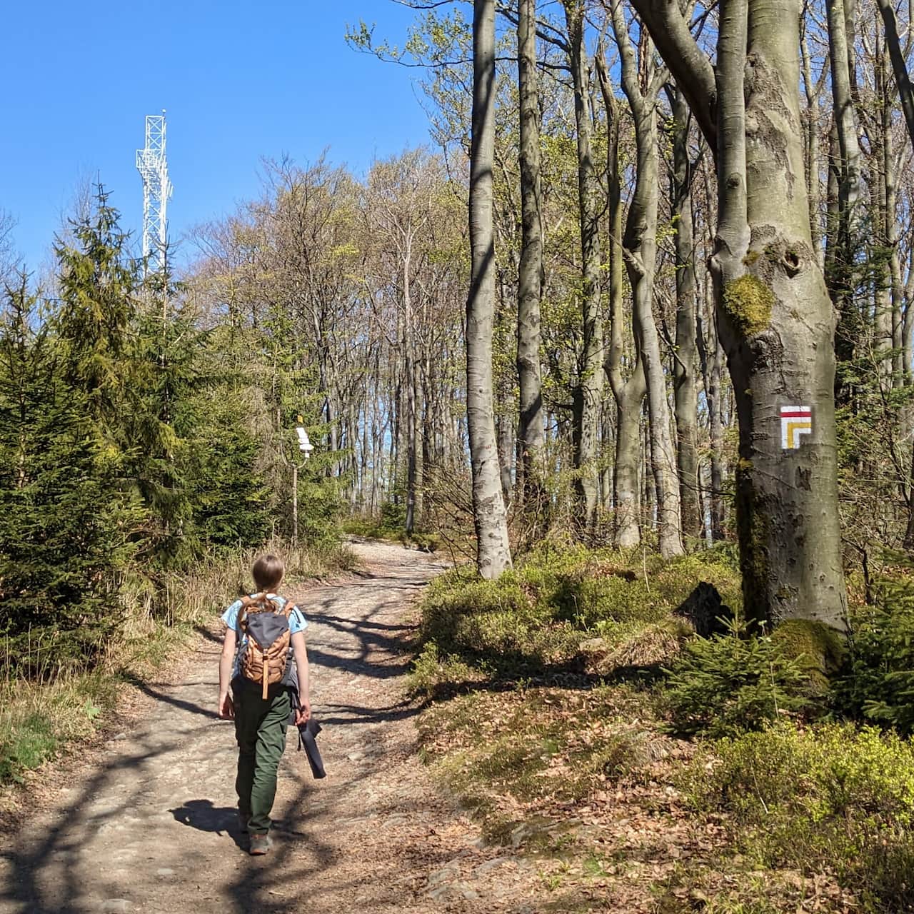
After crossing to the other side of the road, you will find two diverging paths - the ski trail on the left and the blue hiking trail on the right:
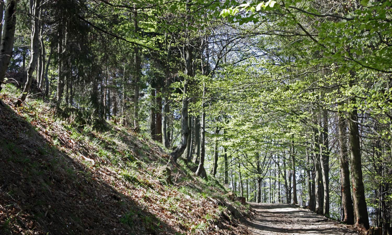
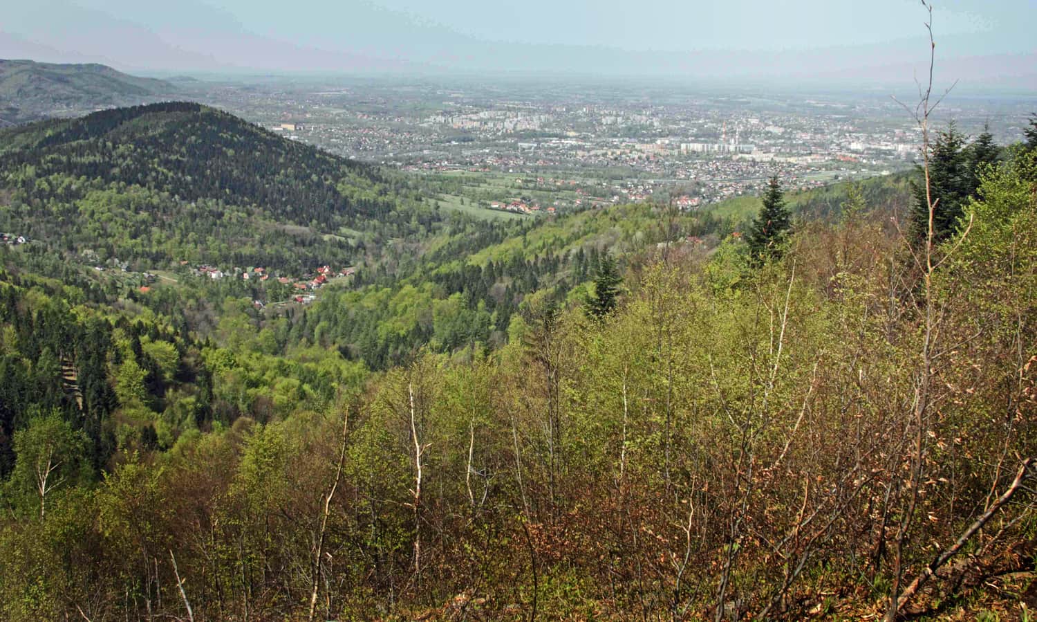
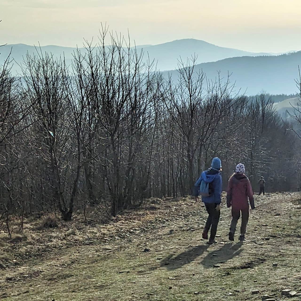
The hiking trail runs along the western slope of Sokołówka, it is wide but rocky and somewhat steep in places, but after a while, it becomes gentler and less rocky. The path mostly goes through the forest or along its edge - along the way, you can enjoy nice views of Bielsko-Biała.
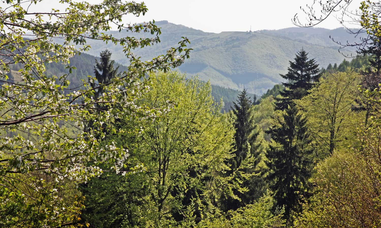
After joining the red and green trails, the path continues along a gentle ridge. The lack of shade is compensated by the views - including the Żar mountain with a pumped-storage power plant, Lake Międzybrodzkie, and the city of Bielsko-Biała:
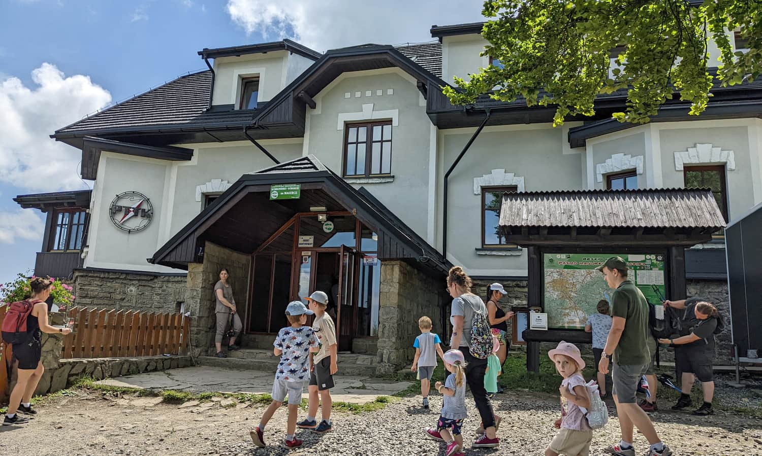
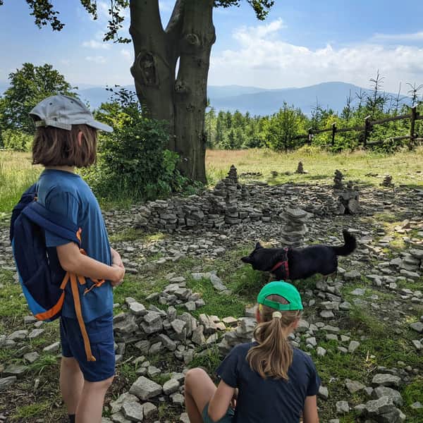
Soon, you will reach a vast meadow, the summit of Magurka Wilkowicka (909 m above sea level), and the PTTK Shelter (phone number: 033 817-04-21). The shelter has a restaurant (serving soups, meat and vegetarian dishes, including pancakes and delicious steamed dumplings with plum jam, with seating inside and outside) and offers accommodation.
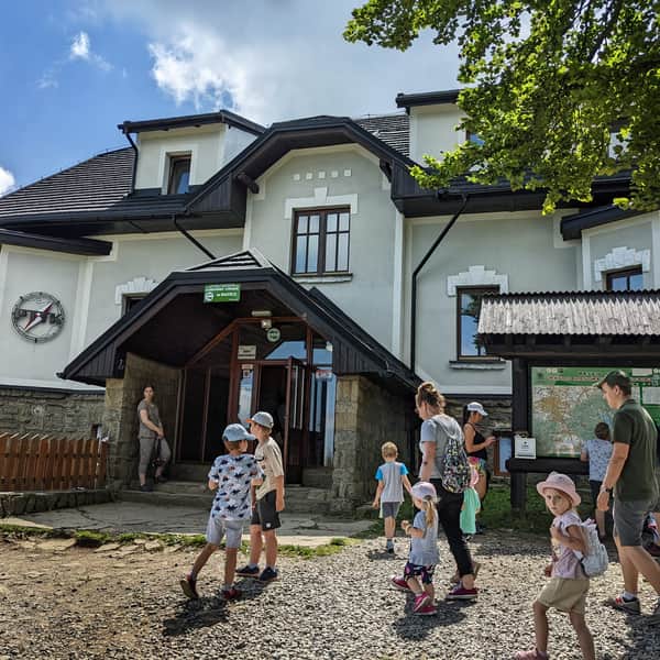
Magurka Wilkowicka - shelter, trails to the peak
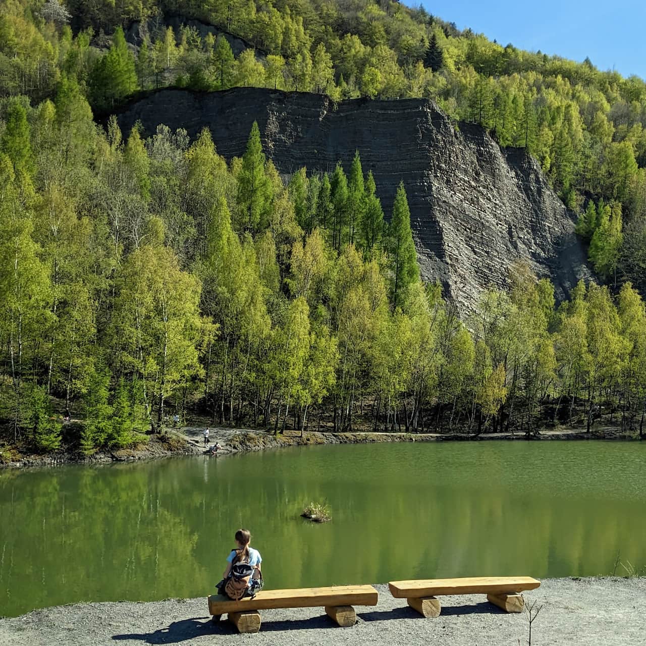
Magurka Wilkowicka is a peak in the Little Beskids, located between Bielsko-Biała and Wilkowice in the west, and Lake Międzybrodzkie and Lake Żywieckie in the east. ...
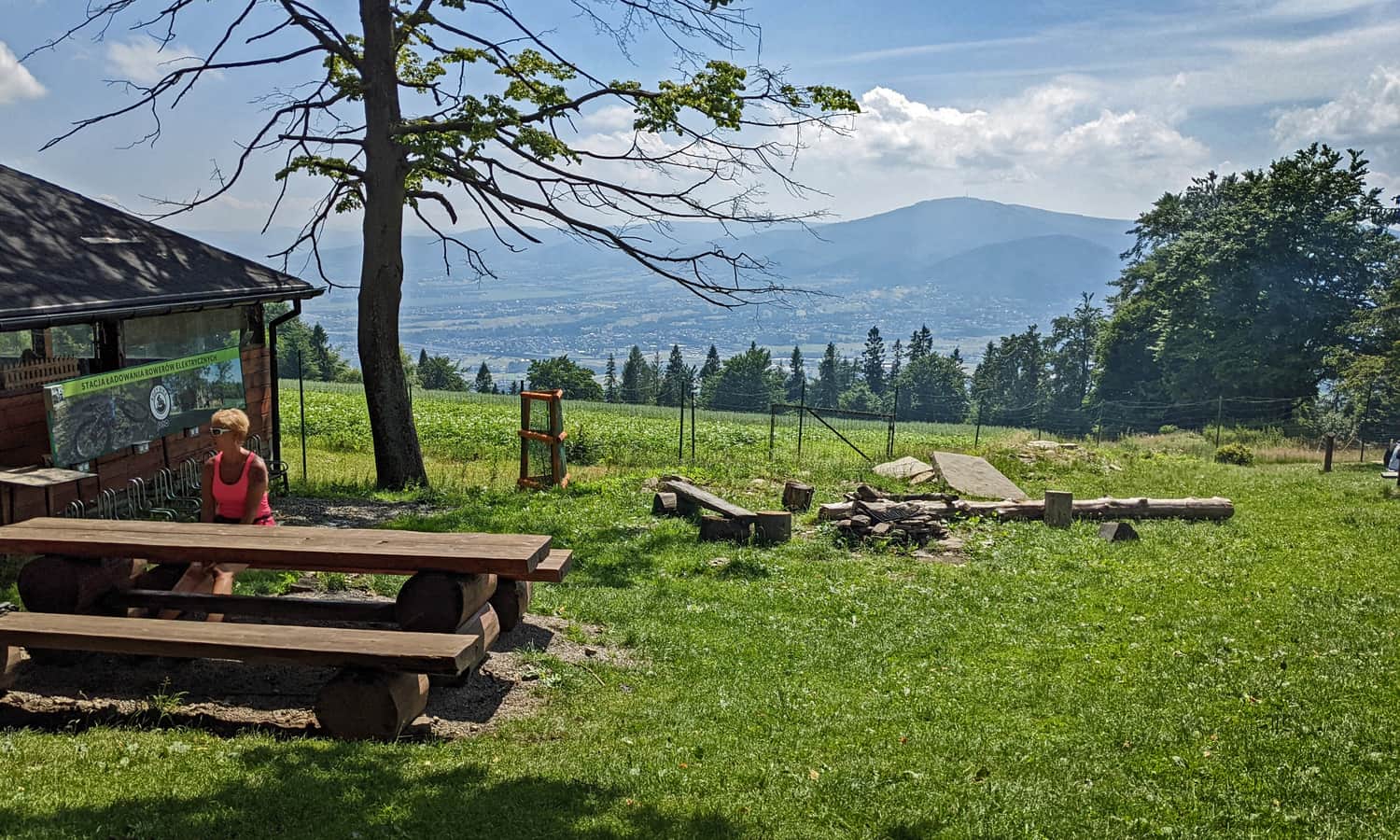
From the summit, you can enjoy views of Babia Góra, Pilsko, Wielka Raczę, as well as Barania Góra, Skrzyczne, and Klimczok (the views are better in winter as the trees obstruct the view in summer).
There is also a scenic spot at Chatka Turystyczna on Magurka. It is a gastronomic point along the red trail towards Wilkowice (10-15 minutes from the shelter) - it is marked on the map above.
Ps. From Magurka Wilkowicka to Czupel
Once you are at Magurka Wilkowicka, it might be worth taking a walk to Czupel and "conquering" the highest peak of the Little Beskids. It will be an easy and short hike:
Easy
Magurka Wilkowicka - Czupel

This trail is included in our article "TOP 5 Little Beskids - the most beautiful scenic trails". Would you like to know the rest of them?
TOP 5 Beskid Mały: Most Beautiful Scenic Trails
Beskid Mały is an easily accessible mountain range on the border of Silesian and Lesser Poland Voivodeships, where you will find many trails for interesting and scenic family mountain excursions. ...
We have also selected it for our ranking "TOP 15: easiest mountain trails for the first hikes with children". Discover all of them!
TOP 15: Easiest mountain trails for the first hikes with children in Poland
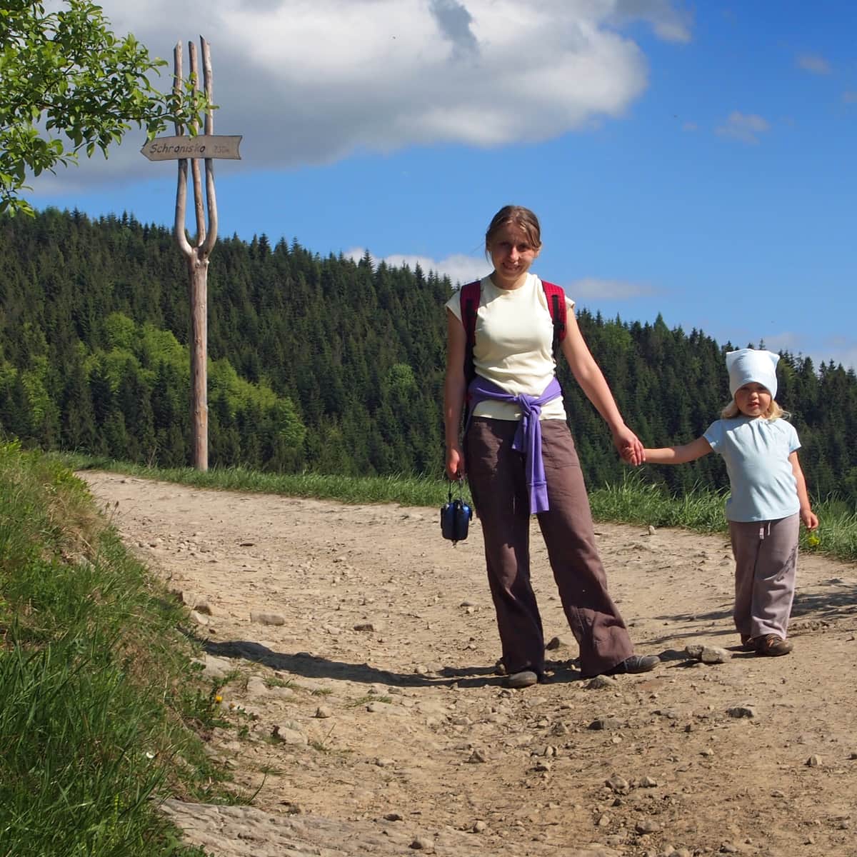
When our toddler outgrows the carrier and wants to hike on their own, we need to choose a trail that suits their abilities. The satisfaction of conquering their first summit will be invaluable and will remain in the child's memory... and the parents' memory too! ...

Publish Date:
Last Updated:
More in the Region Beskid Mały (Beskid Mały)