From Piwniczna Zdrój to Eliaszówka via Niemcowa
Nearby: Nowy Sącz| Distance | 14.9km |
|---|---|
| Time | 6h 9min |
| Ascents | 973m |
| Descents | 328m |
wb_sunny Route in the sun
restaurant Restaurant or bar nearby
directions_car Access by car
directions_bus Can be reached by bus
train Access by train possible
The trail from Piwniczna Zdrój through Niemcowa, Wielki Rogacz, and the scenic meadow of Litawcowa to Obidza and the tower on Eliaszówka is not the shortest, but it is a very scenic and diverse trail to the highest peak of the Gór Lubowelskich Mountains. It is worth combining it into a loop with the green border trail (total distance is about 23 km, 7-8 hours of hiking, with an elevation gain of 1000 m).
Our hike will consist of several stages:
- Yellow trail from Piwniczna Zdrój to Niemcowa (about 2.5-3 hours)
- Red trail from Niemcowa to Wielki Rogacz (about 1 hour)
- Blue trail from Wielki Rogacz to Polana Litawcowa and Obidza (about 40 minutes)
- Green trail from Obidza to Eliaszówka (about 1 hour)
Yellow trail from Piwniczna Zdrój to Niemcowa
The first stage of our hike is to take the yellow trail to Niemcowa. The beginning of the trail can be found in the market square in Piwniczna Zdrój (parking area). You can also reach here by train (the train station is slightly below the market square) or by bus (bus stop in the market square).
From the center of Piwniczna Zdrój, we climb through field roads (sometimes cobblestone, sometimes concrete slabs) through scenic meadows and higher located buildings. Behind us, we will have increasingly beautiful views of Kicarz:
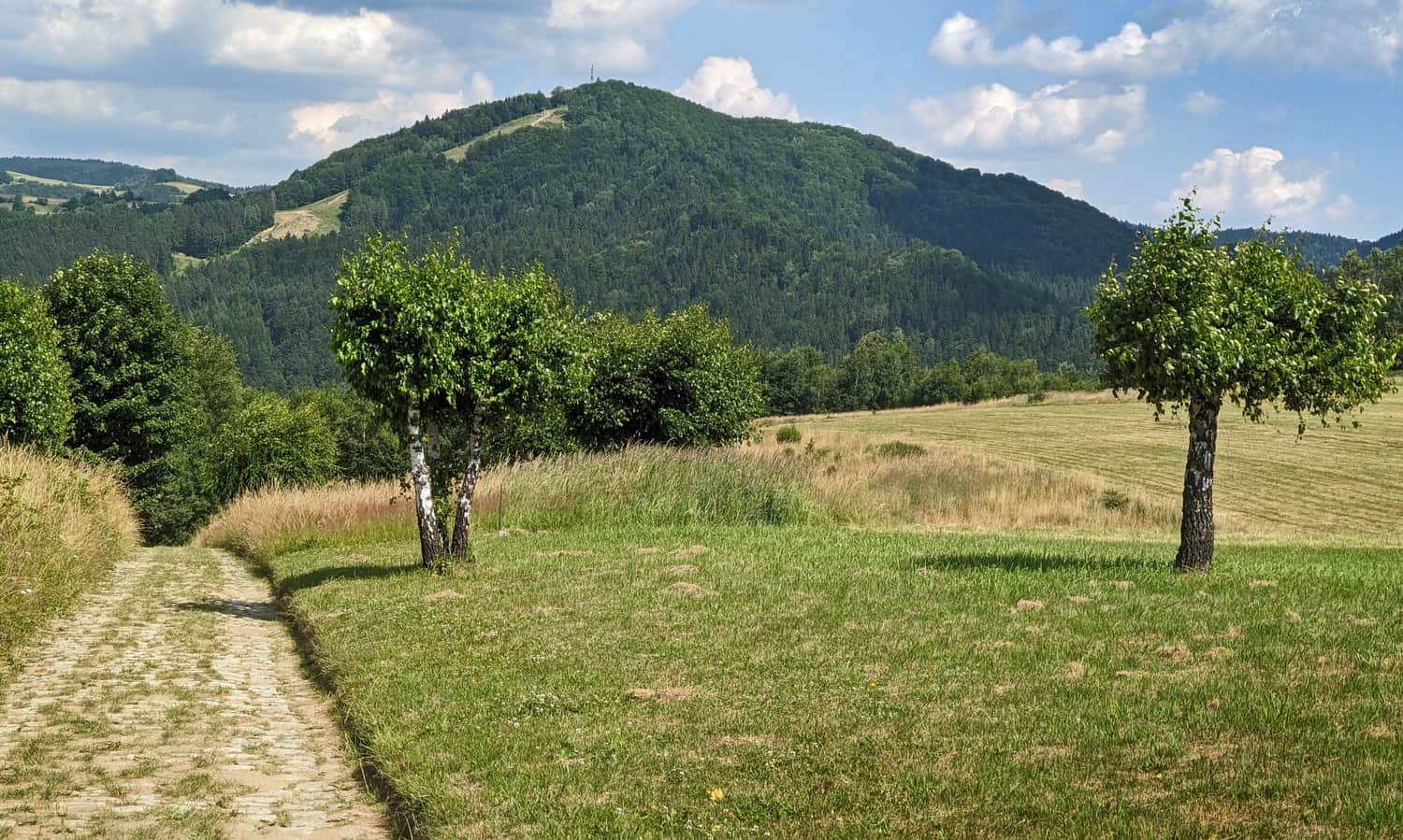
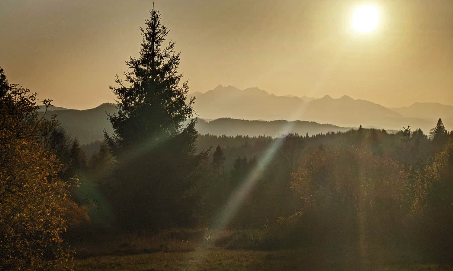
On our left side (from the south), on the other side of the Czercz stream, the Lubowelskie Mountains with Eliaszówka will appear - the goal of our expedition!
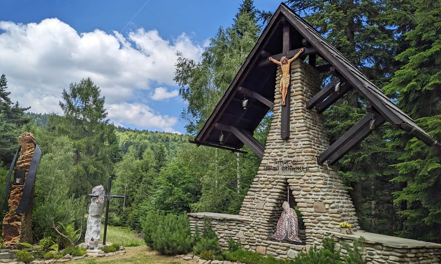
An interesting place along the yellow trail is the "Jackowa Pościel" mountain memorial. It is reached by a well-marked side path (about 5-10 minutes from the trail):
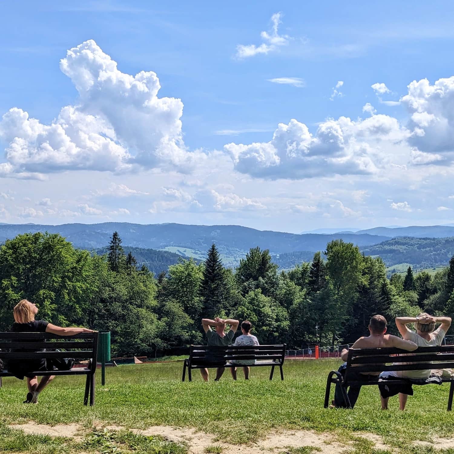
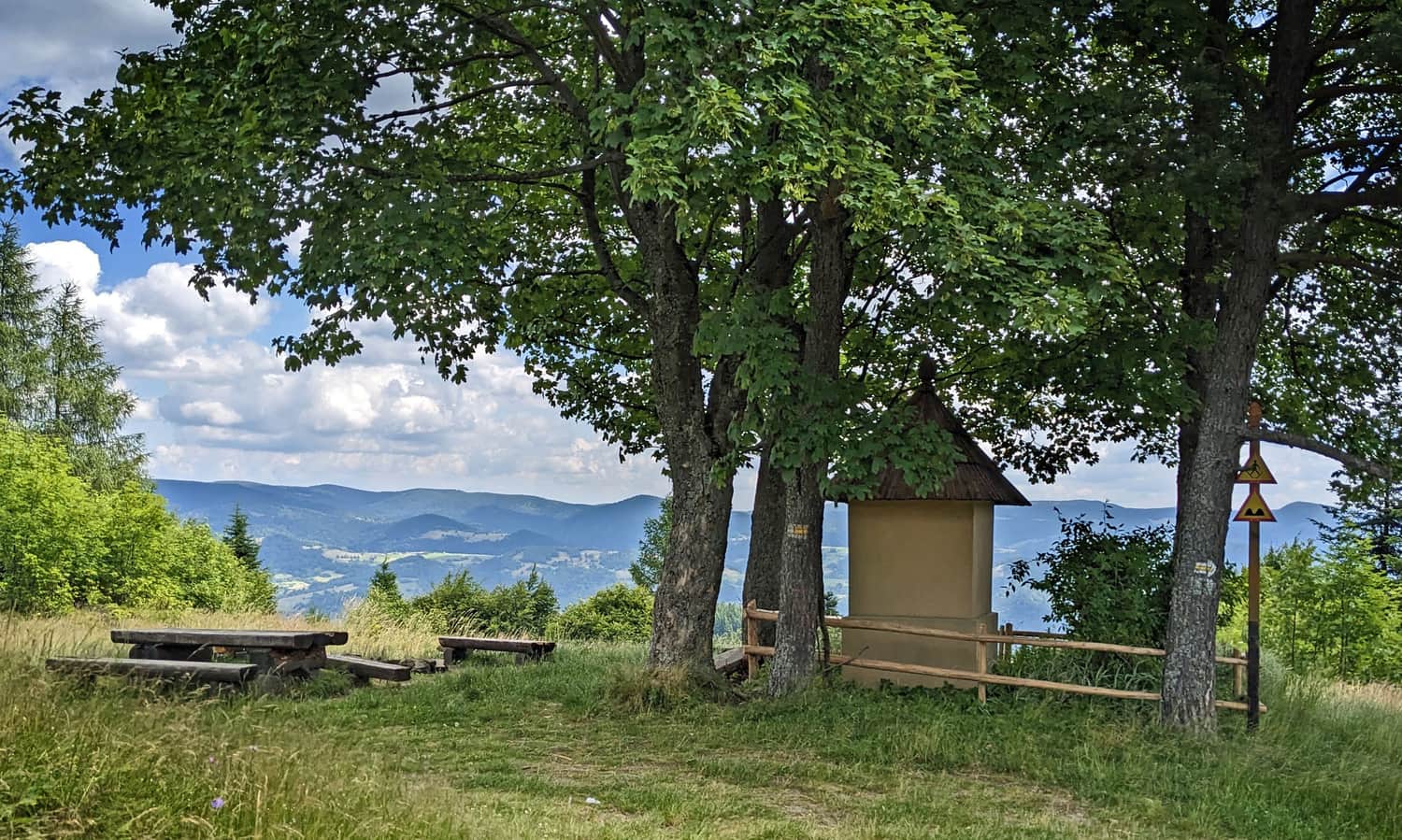
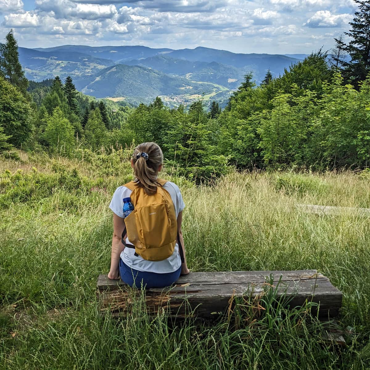
One of the most beautiful viewpoints along the way will be a meadow with a chapel (benches, tables). From here, we will see the majestic Jaworzyna Krynicka Range rising on the other side of the Poprad Valley.
You can find more photos and a detailed description of this section of the route here:
Medium
Yellow Trail from Piwniczna Zdrój to Niemcowa

From Niemcowa to Wielki Rogacz on the red trail
After about 2.5-3 hours of climbing on the yellow trail, we reach its end at the berry-filled meadow of Niemcowa. This place (or rather the meadow just below the place where we are) is associated with an interesting story about the mountain school above the clouds >>>
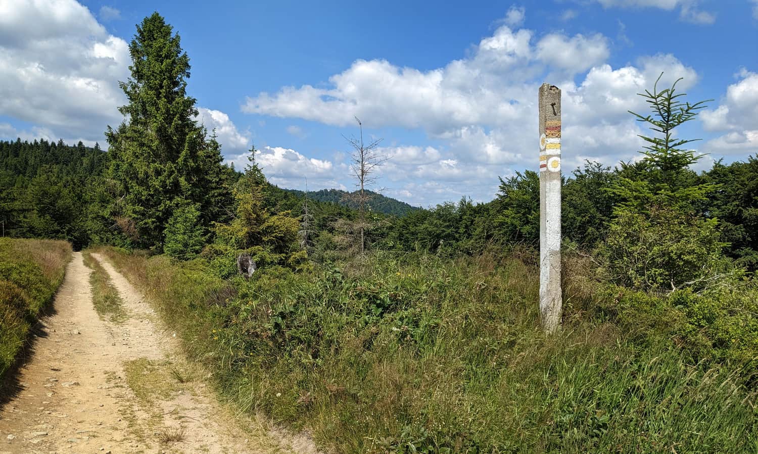
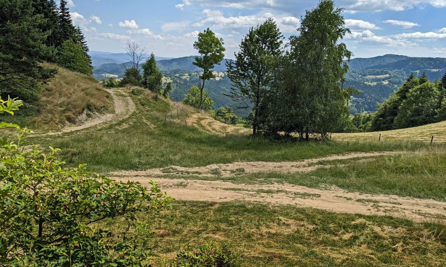
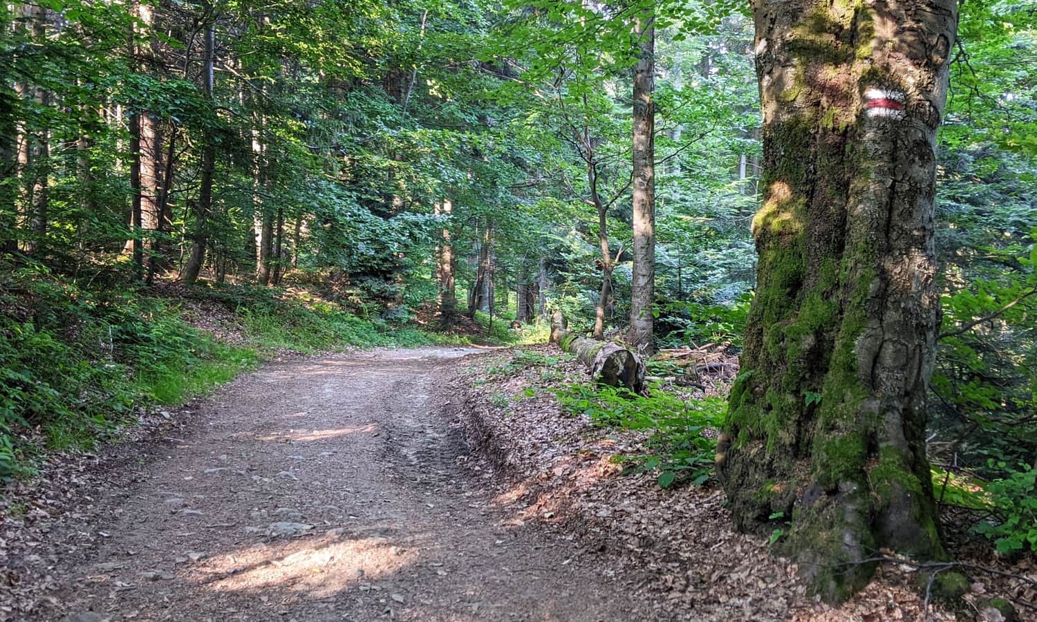
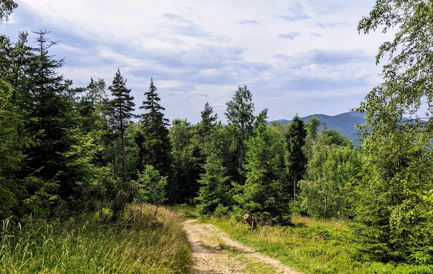
From Niemcowa, we continue our journey - this time guided by red markers. This section of the trail is an easy walk through the forest. The wide forest road gently ascends towards the summit of Wielki Rogacz:
Wielki Rogacz - Polana Litawcowa - Obidza
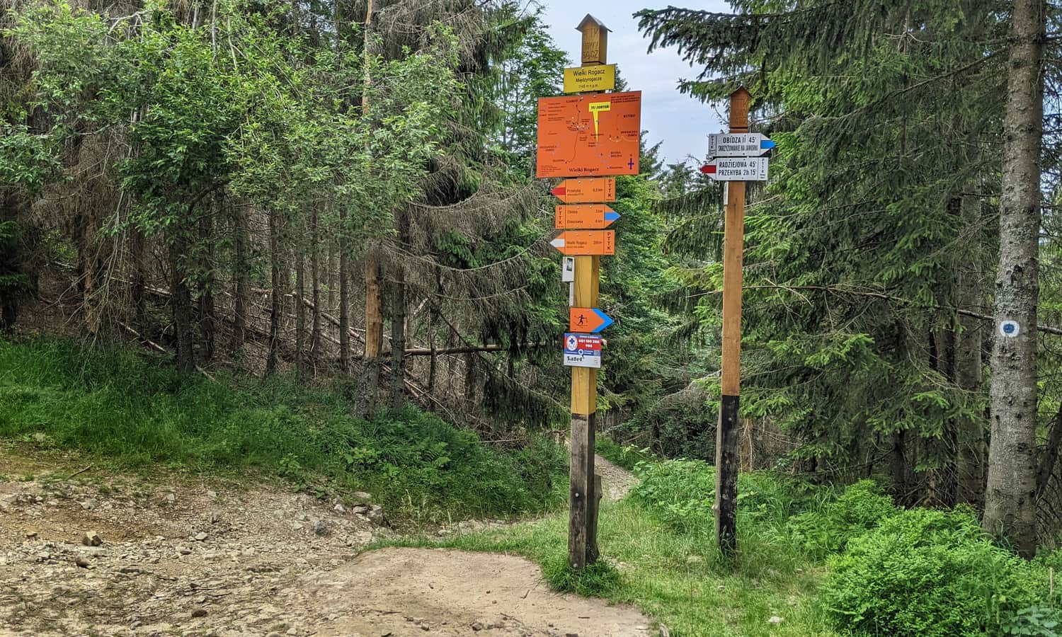
Just below the summit of Wielki Rogacz, at Przełęcz Obrazek, there is a junction of trails: the red trail continues towards Radziejowa, while we turn left following the blue markers towards Obidza.
Soon, we will descend to the incredibly scenic Polana Litawcowa - offering one of the most beautiful views of the High Tatras!
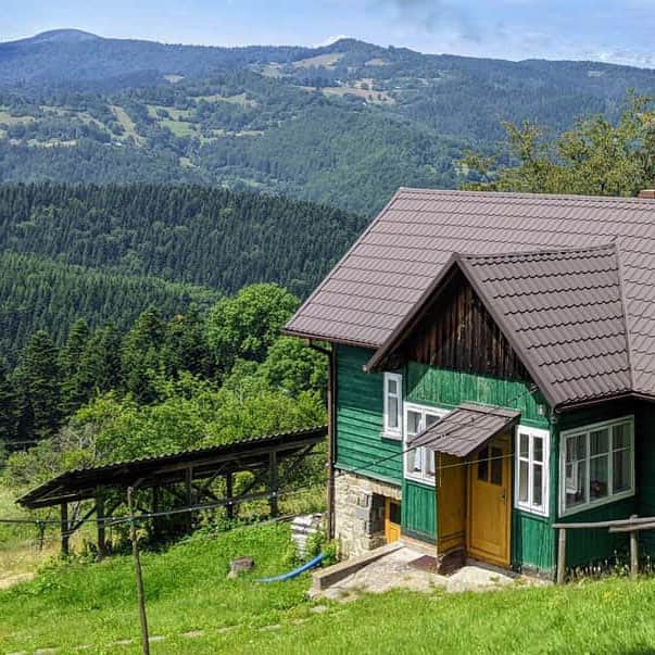
From Polana Litawcowa, we reach another junction of trails at Przełęcz Gromadzka. If we need a longer rest (and a meal), we can descend to the hamlet of Obidza, where the private shelter "Chata Obidza" operates.
Obidza - Przełęcz Gromadzka - Eliaszówka (1024 m above sea level)
The final stage of our trip is a peaceful ascent through the forest to the summit of Eliaszówka (about 1 hour).
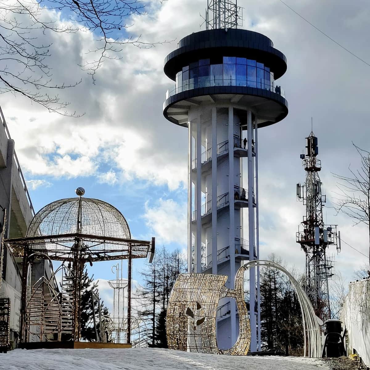
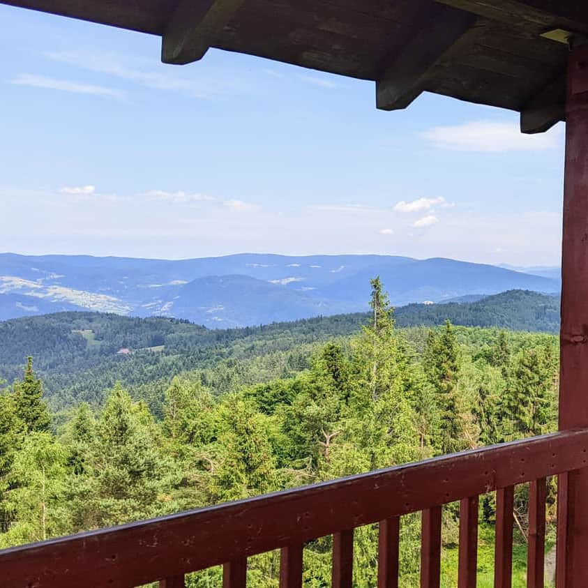
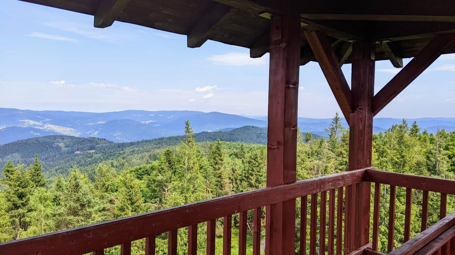
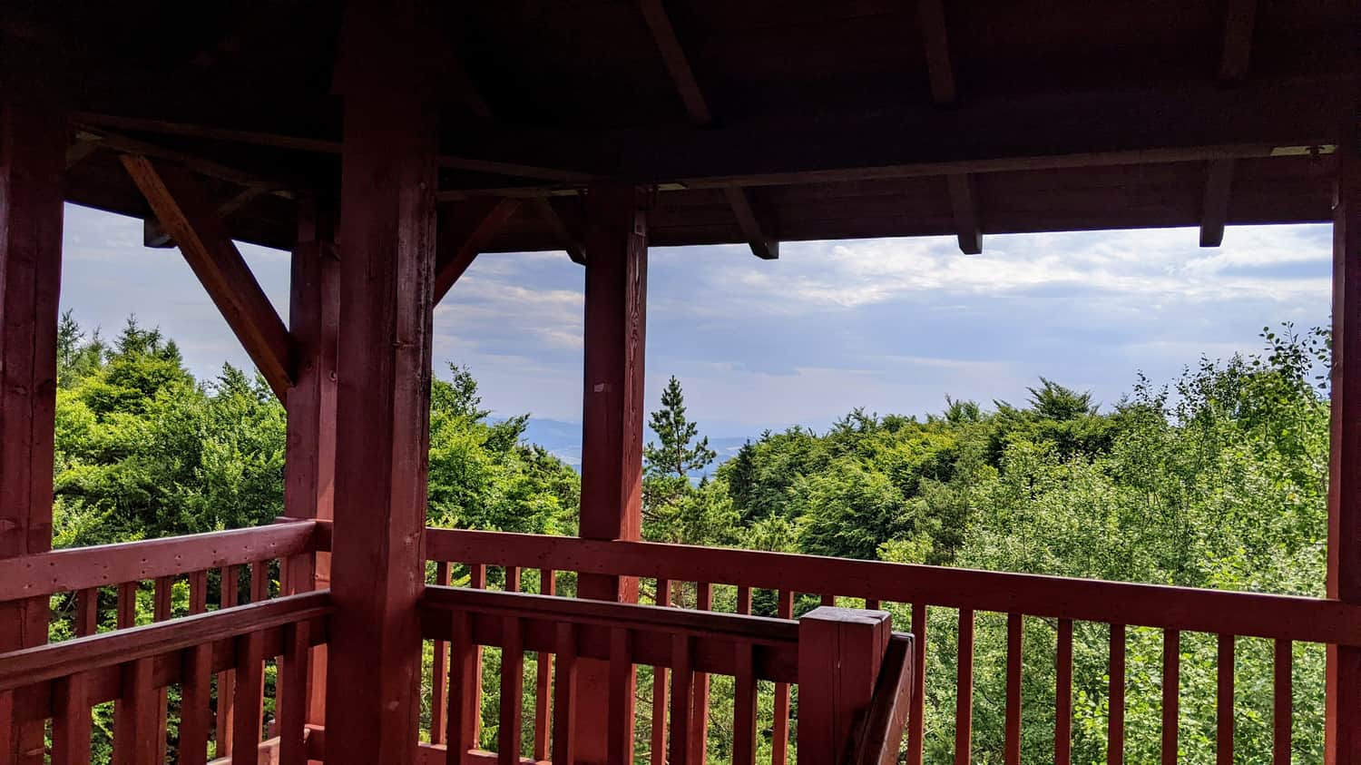
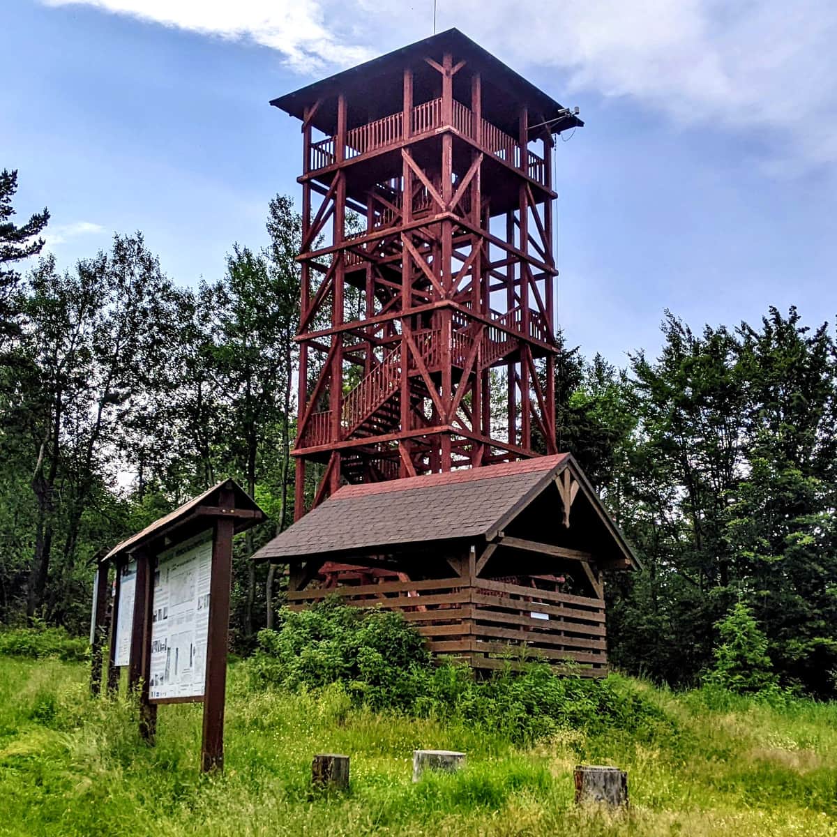
At the summit, a small observation tower awaits us, offering a panorama of the surroundings:
You can read more about Eliaszówka, the tower, the views, and other routes leading to the summit in this article:
Eliaszówka Peak (1024 m) - trail map, views from the tower
All trails to the observation tower on Eliaszówka! ...
...and back to Piwniczna-Zdrój
The return along the same route (through Polana Litawcowa, Wielki Rogacz, and Niemcowa) will take about 4 hours.
However, we can also descend to Piwniczna Zdrój by a shorter route: the green scenic ridge trail (the descent takes about 2 hours).
Medium
Eliaszówka - green, border trail from Piwniczna-Zdrój

If the weather deteriorates or darkness catches up with us, it is safest to descend to Obidza (about 50 minutes) and then take the asphalt road to Piwniczna Zdrój (about 2.5 hours).