From Koninki to Turbacz through Obidowiec
Town: Koninki Nearby: Rabka Zdrójwb_sunny Route in the sun
restaurant Restaurant or bar nearby
directions_car Access by car
directions_bus Can be reached by bus
wc Toilet along the route
warning No dogs allowed
The trail from Koninki to Turbacz through Obidowiec is one of the easiest routes to the highest peak of the Gorc Mountains. If we take the chairlift at the beginning, we will only have 6 km of road and about 400 m of elevation to go.
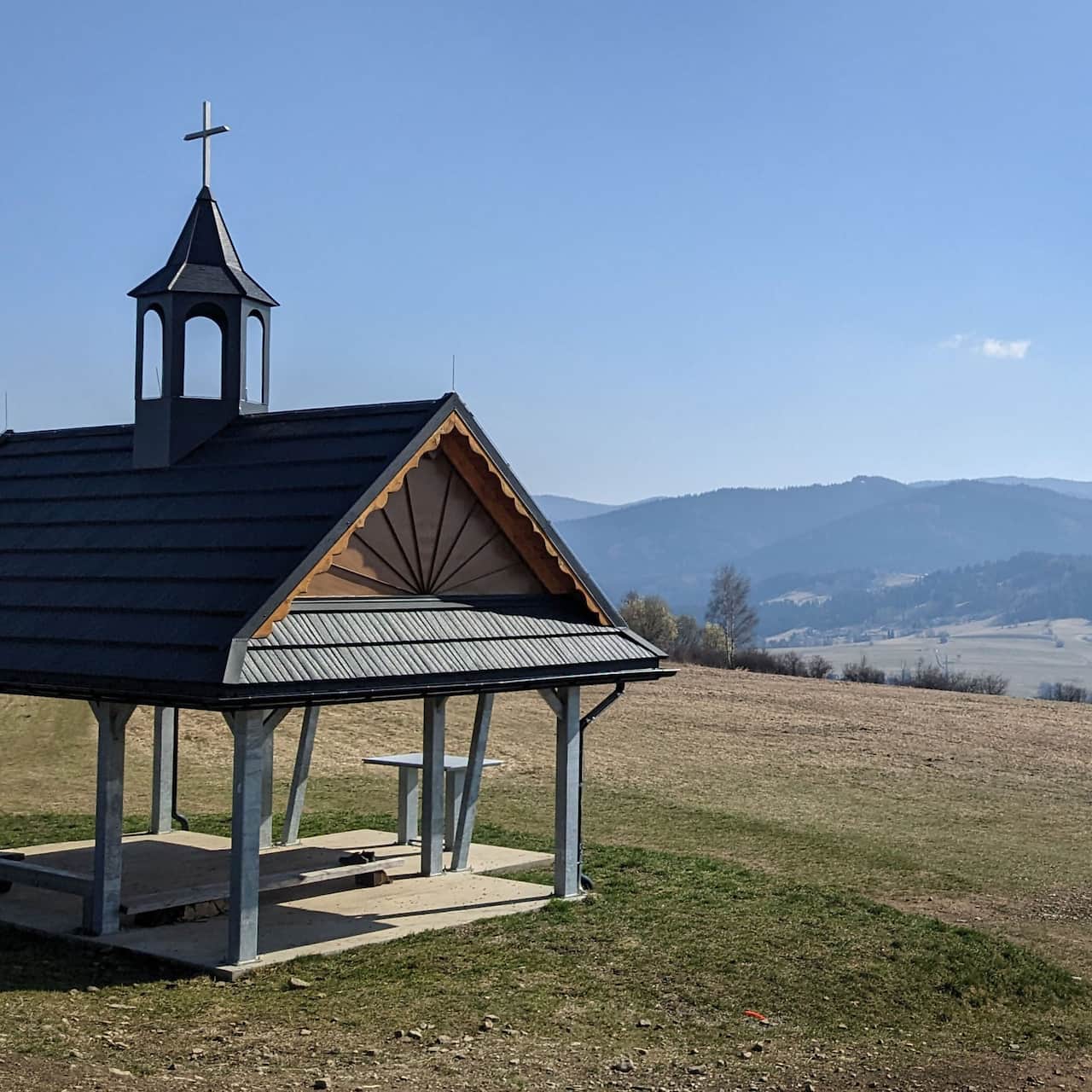
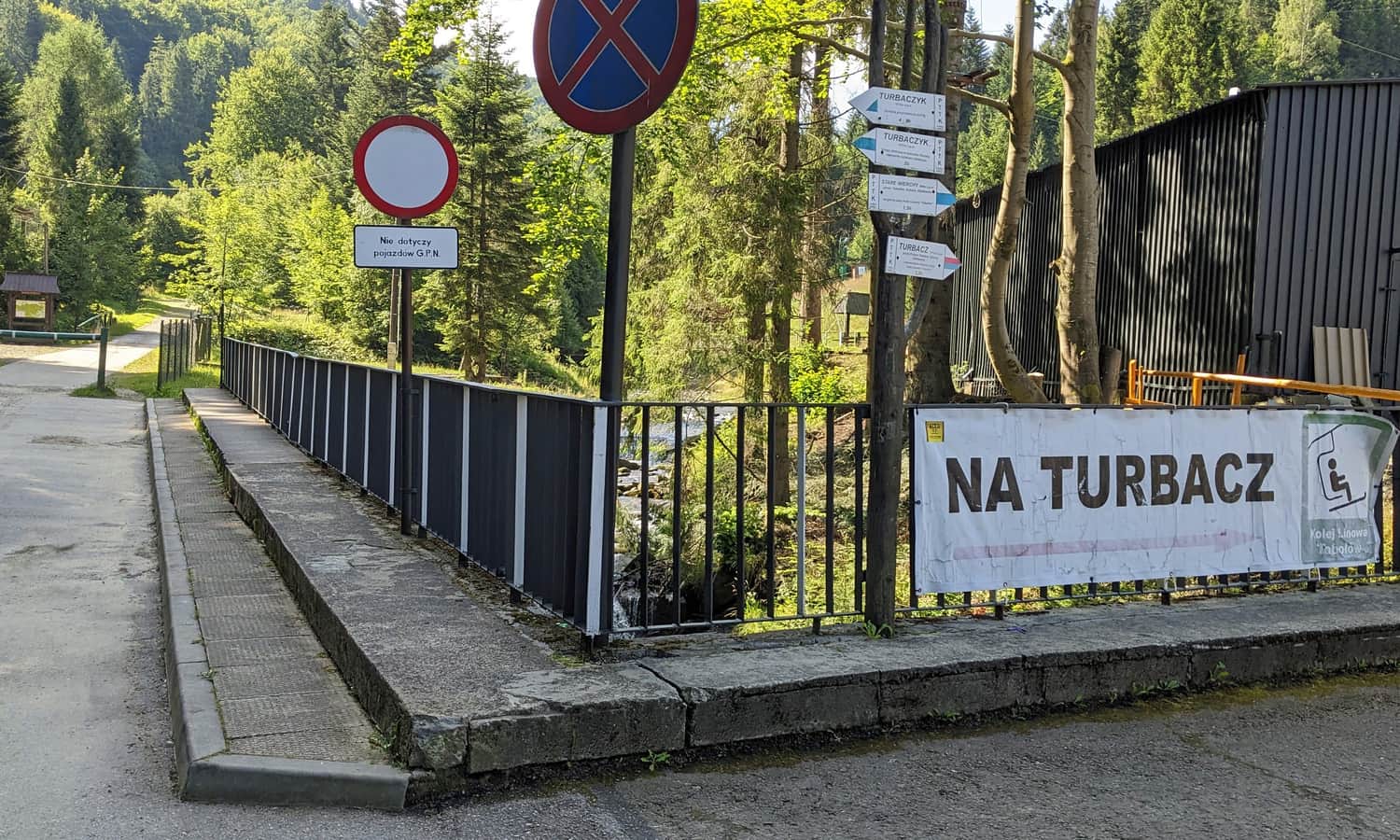
Beginning of the Trail to Turbacz from Koninki
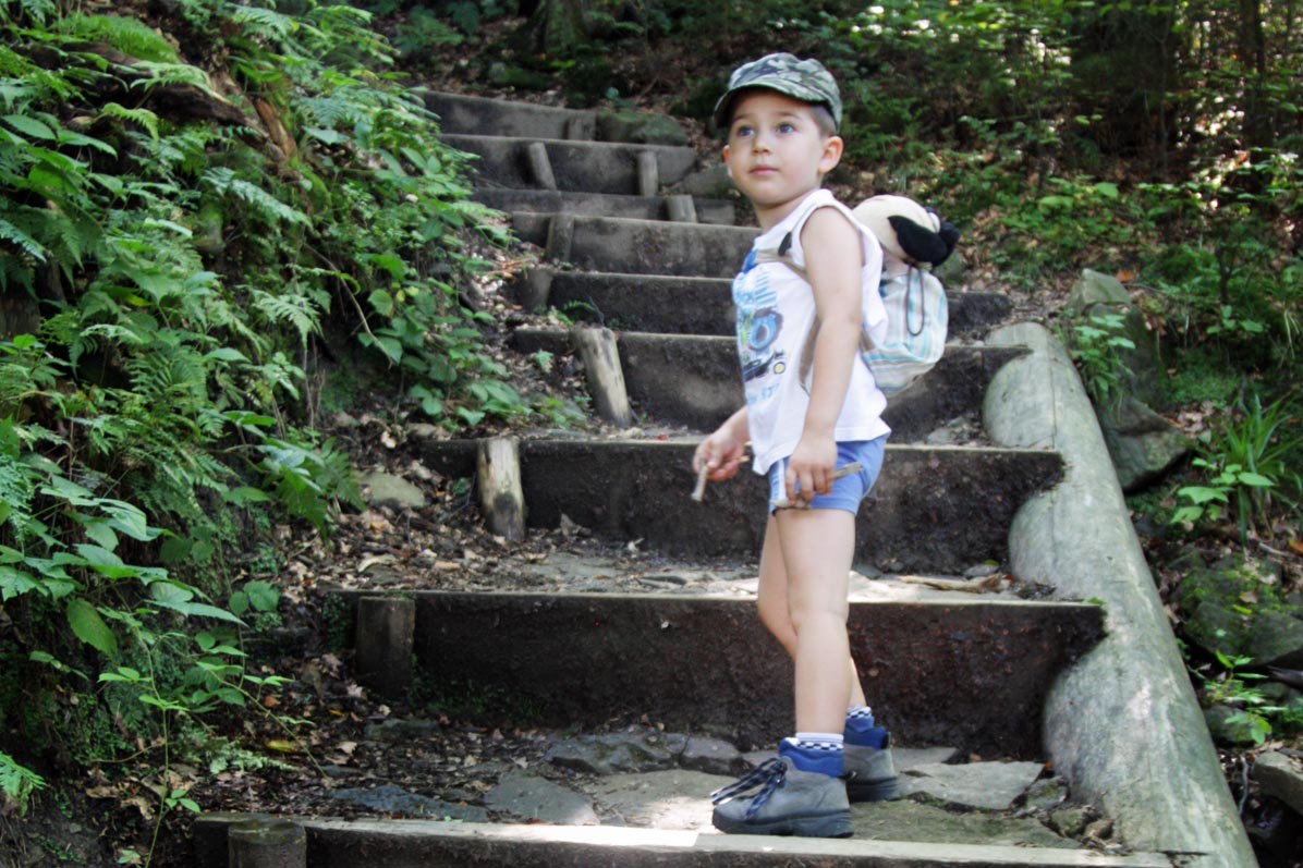
The green trail starts in Koninki near the chapel. There is a large parking lot near the ski station, but you need to walk back to the beginning of the trail. The start of the trail is a steep and tiring path through the forest.
However, you can bypass this section by taking the chairlift - it's an additional attraction for children! There are no age restrictions for the chairlift.
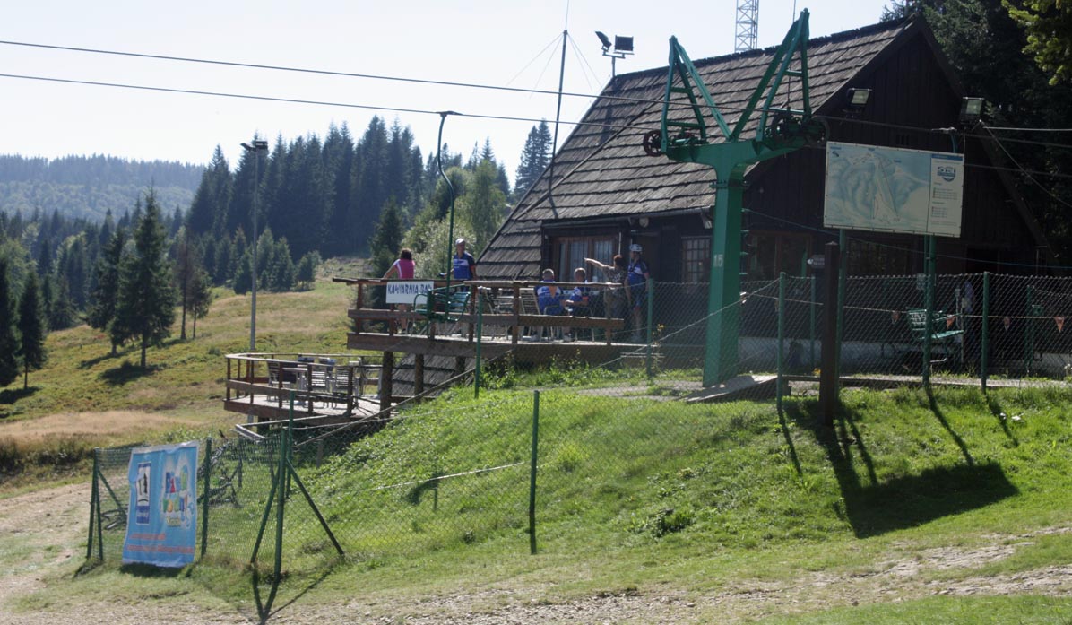
The traditional single-seat chairs are deep enough to sit with a child on your lap - even a toddler. Backpacks can ride in separate chairs. The staff helps children and caregivers with children on their laps to get on and off. Check availability on the Koninki Ski Resort website.
At the upper station of the chairlift, there is a food point, benches, and tables. The green educational trail also starts here, leading through Stare Wierchy and descending to Koninki.
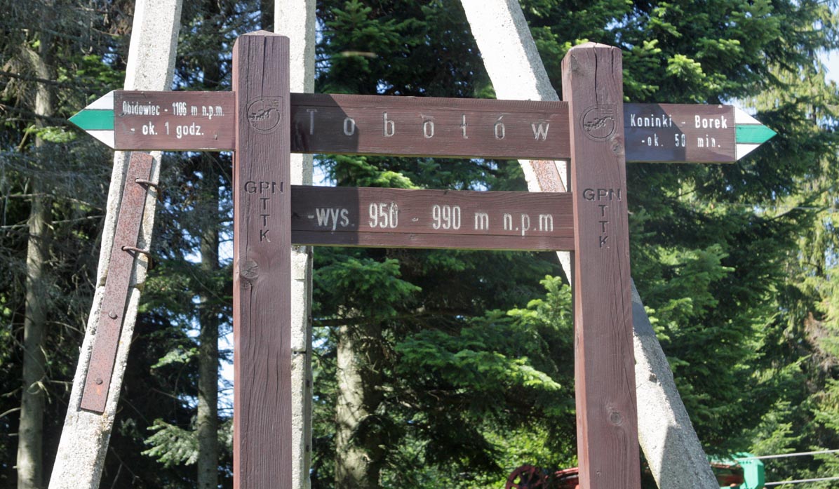
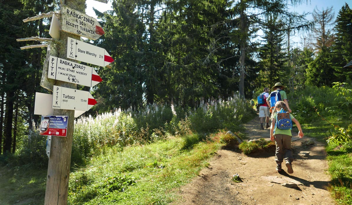
Green Trail to Obidowiec
From Tobołów, we set off on the green trail towards Obidów.
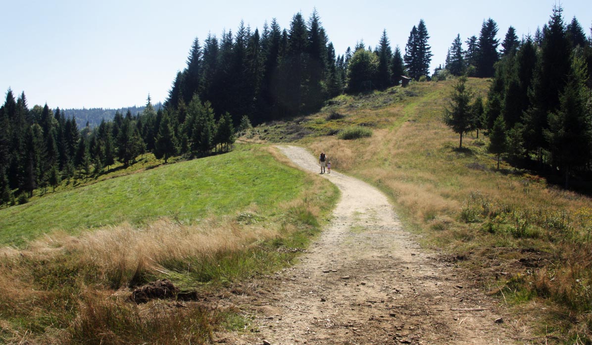
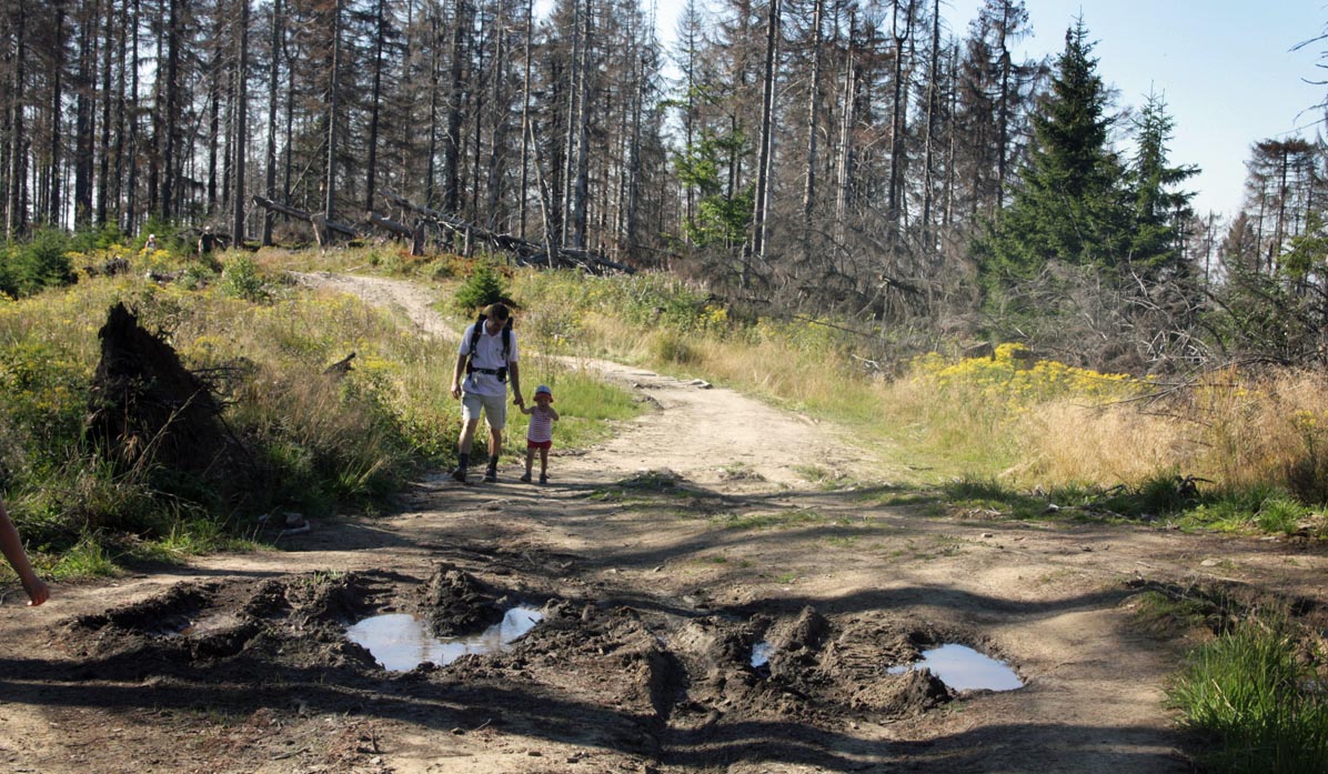
The hike towards Turbacz follows the ridge of the Tobołów clearing, partially wooded, so the sun is not too bothersome. Along the way, we pass a clearing under Suchora - you can turn right to the astronomical observatory on Suchora, but it's easy to miss this moment (no visible signs).
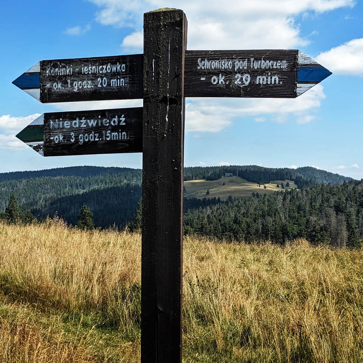
After about 30 minutes, we reach the foot of Obidowiec. The educational trail bypasses the summit and turns right towards Stare Wierchy. To reach Turbacz, we climb up Obidowiec on the green trail. Just before entering the forest, there is an interesting sign about Suchora, the observatory, and... wolves.
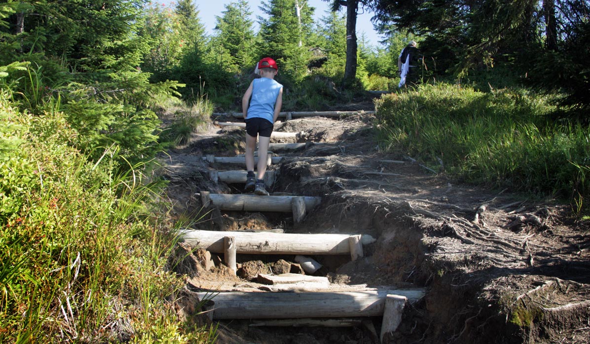
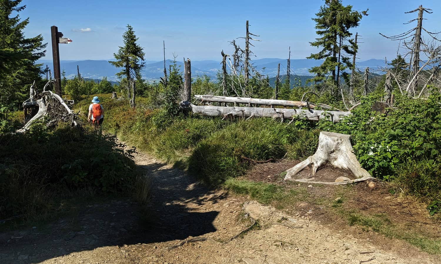
The ascent to the summit of Obidowiec is a fairly steep forest path with high steps - after about 30 minutes, we reach the wooded peak and join the red trail, which will lead us to Turbacz.
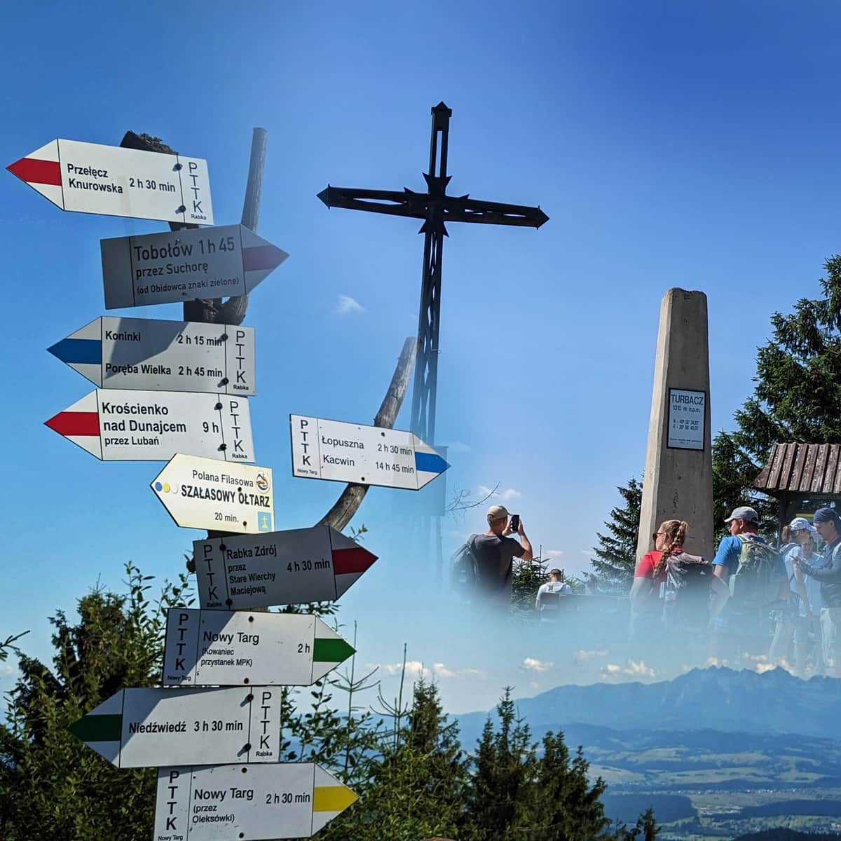
Obidowiec - Turbacz: Red Trail
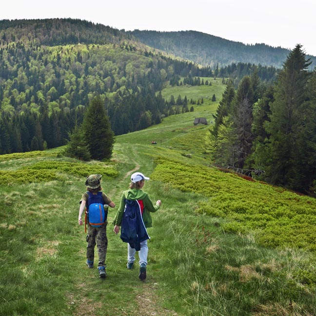
Now we have a pleasant walk along the ridge for about an hour - sometimes flat, sometimes slightly downhill or uphill. Sometimes through meadows - with beautiful views of the Tatra Mountains (e.g., from the Rozdziele viewpoint), sometimes along the edge of the forest.
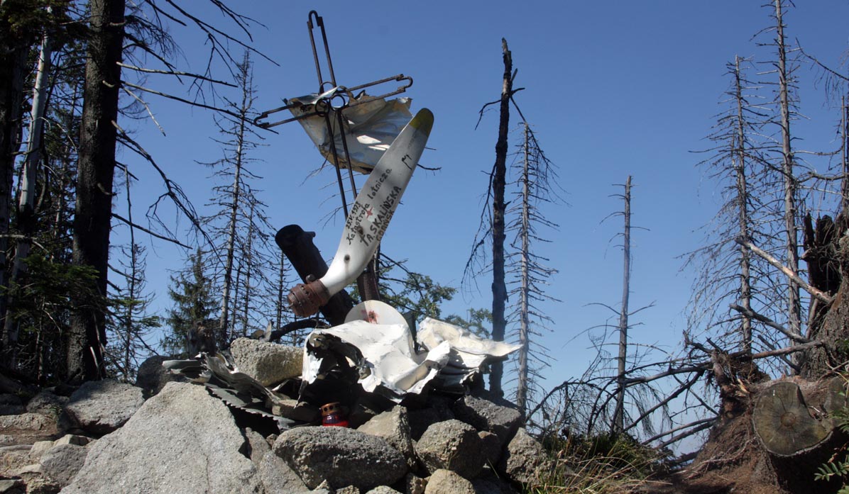
Along the way, there is an attraction - remains of a medical airplane that crashed nearby.
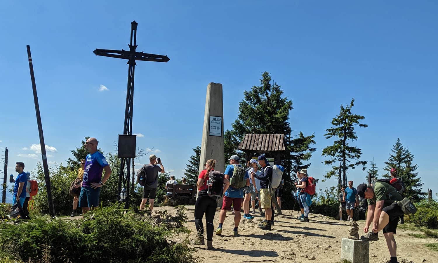
The closer we get to the summit, the more demanding the trail becomes... rocky, moist gullies, and finally, about 30 minutes of climbing steep steps in open terrain, among blueberries and broken trees - on a sunny day, it will be quite warm here...
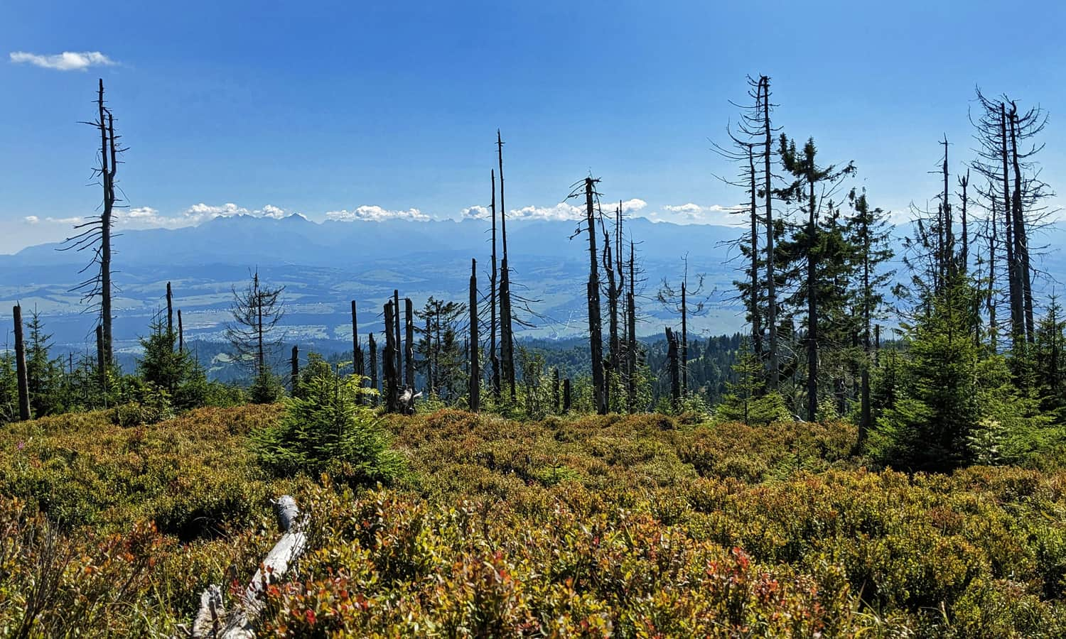
However, through the sparse, damaged forest, we will be rewarded with a beautiful view! First to the north and west (Beskid Wyspowy, Żywiecki, and Babia Góra):
...and from the summit, also a view of the Tatra Mountains!
More about Turbacz
You can find more information about the views from the summit, the mountain hut, and other trails to the highest peak of the Gorc Mountains in this article:
Turbacz - all trails, shelter, attractions
Turbacz (1310 meters above sea level) is the highest peak of the Gorce Mountains, famous for its stunning views of the Tatra Mountains. ...
PS. Possible assistance for the climb: If little (and bigger...) legs have had enough of steep ascents and stairs, we suggest changing the order of "summit-mountain hut" to "mountain hut-summit".
At a certain point during the ascent to the summit of Turbacz on the red trail, you can see a sign pointing "to the papal chapel, 5 min." The chapel stands on the Hala Turbacz clearing. From the chapel, it takes about 20 minutes to reach the mountain hut via an easy blue, yellow, and green trail.
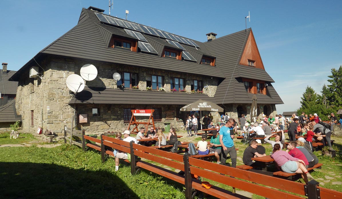
After a rest, we can reach the summit: the ascent from the mountain hut is much gentler, taking about 20 minutes uphill and 15 minutes downhill.
Return from Turbacz to Koninki
We can return to Koninki the same way (the descent will take about 2 hours), or for variety, take the blue trail, which also leads to the parking lot in Koninki.
By choosing this route, we will bypass the steep forest stairs when descending from the summit of Turbacz and Obidowiec (but there is also the option of taking the chairlift from Tobołów). However, we will see the papal chapel on Hala Turbacz and pass through 3 picturesque clearings (one unfortunately with steep stairs)...
Medium
Blue Trail from Koninki to Turbacz summit

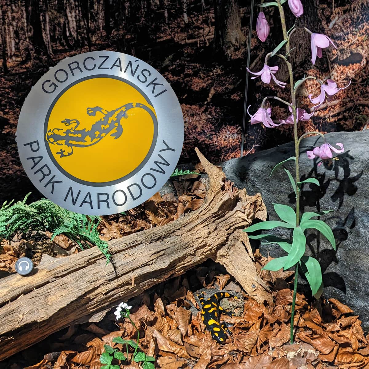
PS. 1. The green, red, and blue trails are located within the Gorczański National Park, entrance fee required, and dogs are not allowed!
You can also climb Turbacz from the side of Nowy Targ, bypassing the Gorczański National Park, using the green or yellow trails - in that case, you can bring a dog!
PS. 2. This route has been included in our article "Gorce - Easy Trails and Routes for Children". Would you like to know about the others?
Gorce: easy trails and routes for children
Are you looking for a route for a family trip to the mountains? Perhaps this will be your child's first mountain hike? It's worth choosing a s ...

More in the Region Gorce (Gorce)