Chrobacza Łąka from Lipnik (Bielsko-Biała)
Nearby: Bielsko-Białabeach_access Route in the shade
restaurant Restaurant or bar nearby
directions_car Access by car
directions_bus Access by public transport
wc Toilet along the route
The route from Lipnik (a district of Bielsko-Biała) to Chrobacza Łąka (828 m a.s.l. / 2,717 ft) first follows the blue trail to Gaiki, then the red ridge trail to the scenic summit with a mountain hut. This hike is in the Little Beskids (Beskid Mały) near the city of Bielsko-Biała in southern Poland.
Start of the blue trail in Lipnik, Bielsko-Biała
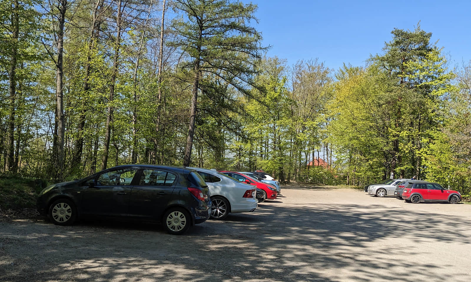
The blue trail starts at the bus stop named Krakowska Kopiec, but you can ride a little farther—to the stop on Polna Street (ul. Polna). You can leave your car in a large, free parking lot right at the edge of the forest.
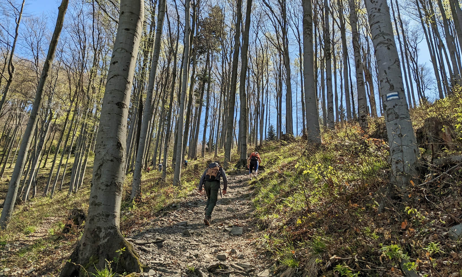
At first you enter the forest on a wide, comfortable road and pass a small forest amphitheater, then the climb begins. Note: over a stretch of about 1.5 km (0.9 mi) you gain around 300 m (985 ft) of elevation! This means it is really steep, so plan a few short breaks along the way.
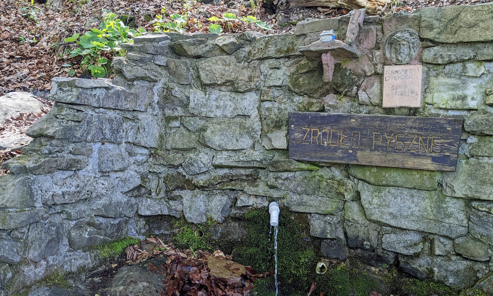
A good place to rest is Źródło Pyszne ("Pyszne" Spring)—just above it there is a table with benches.
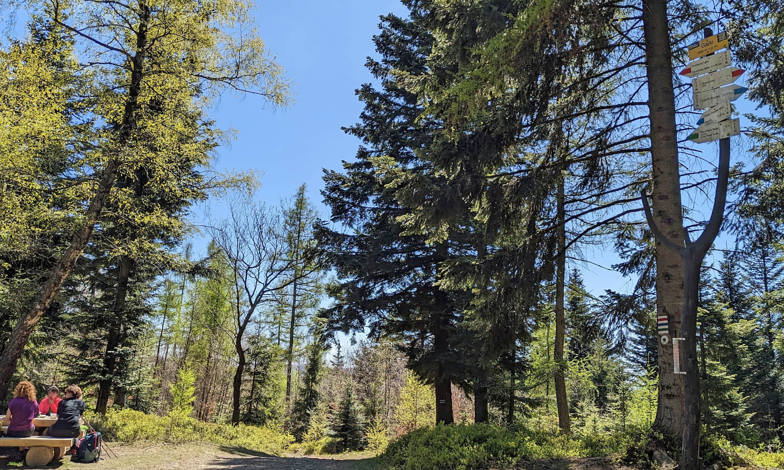
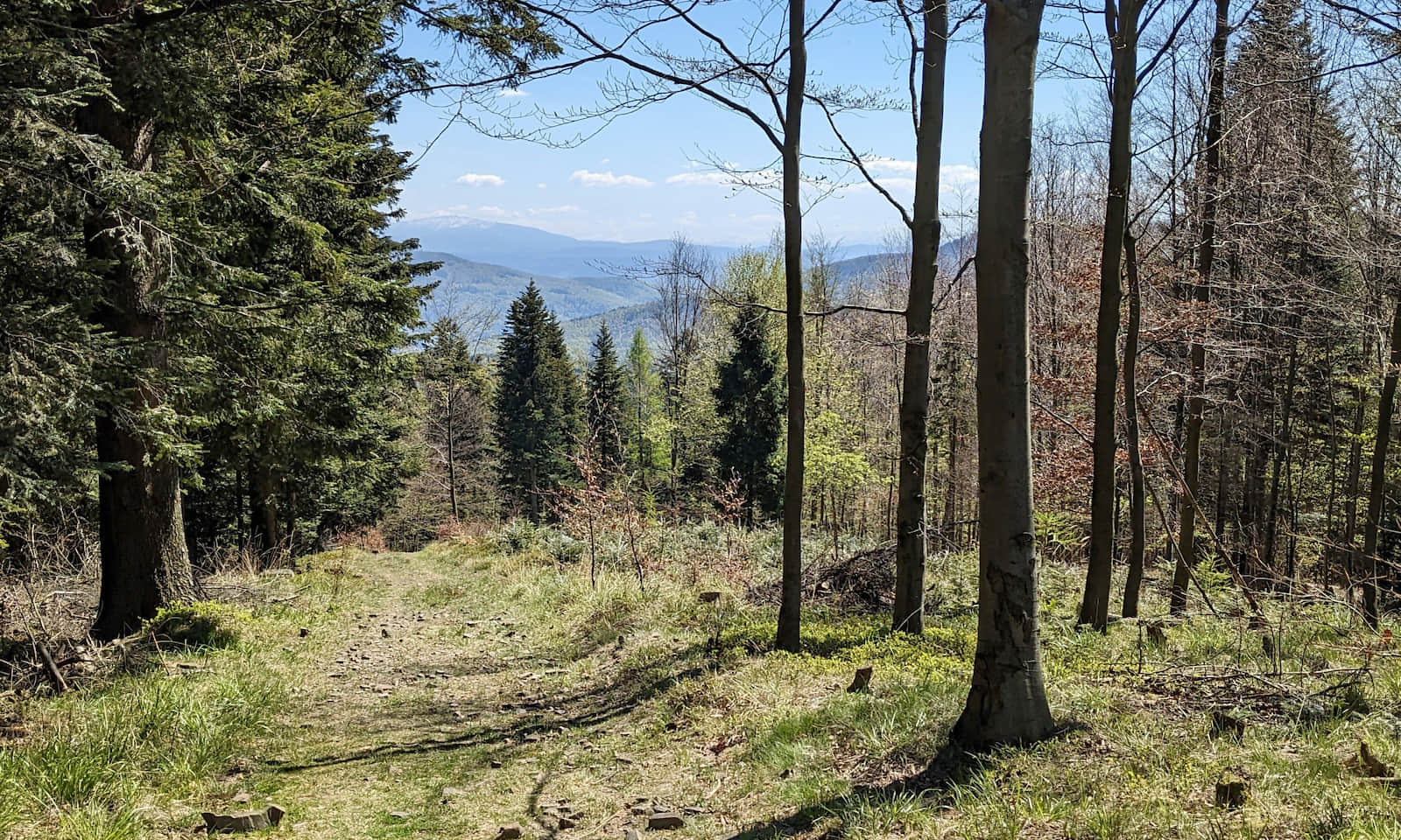
From Gaiki to Chrobacza Łąka
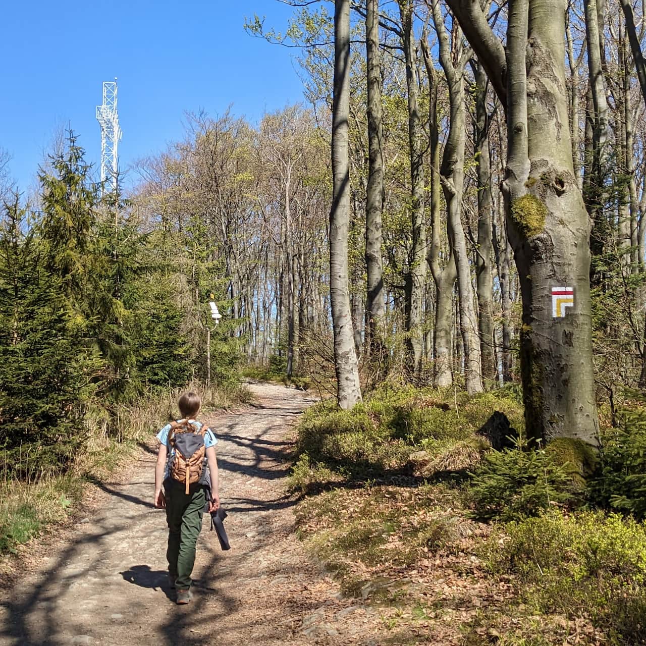
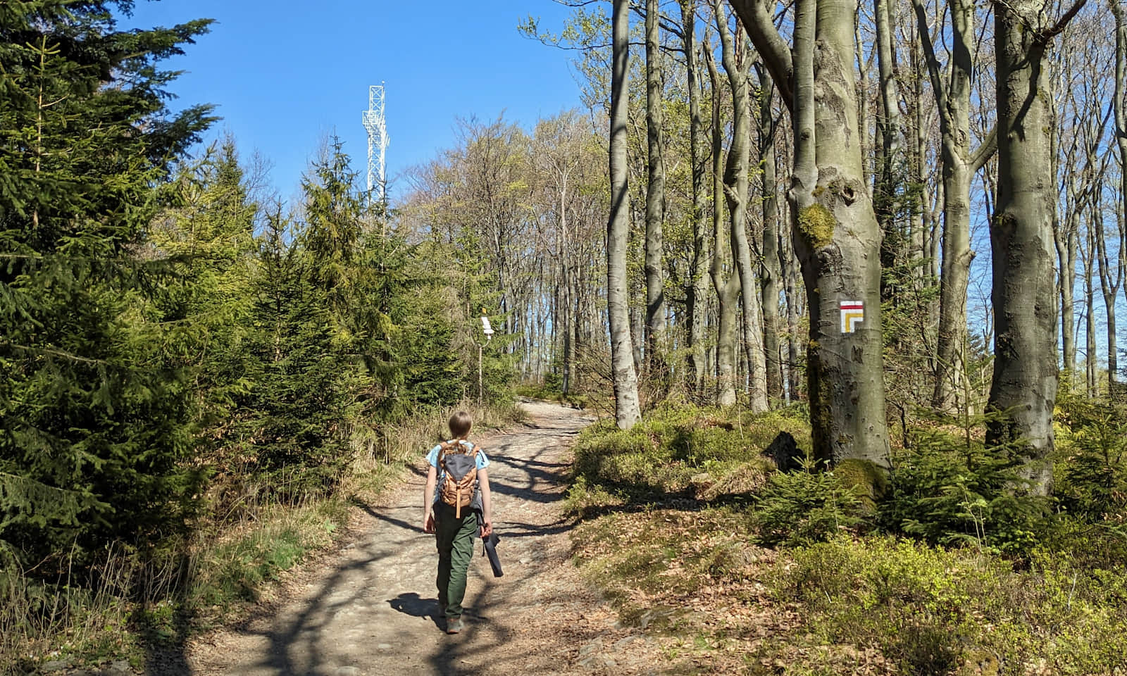
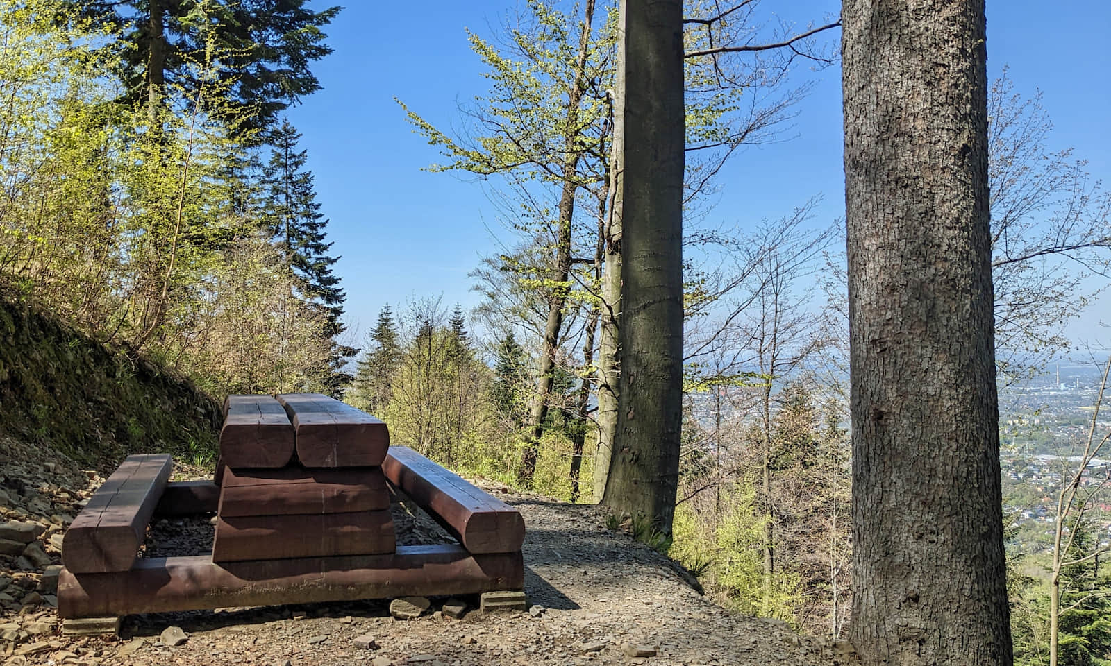
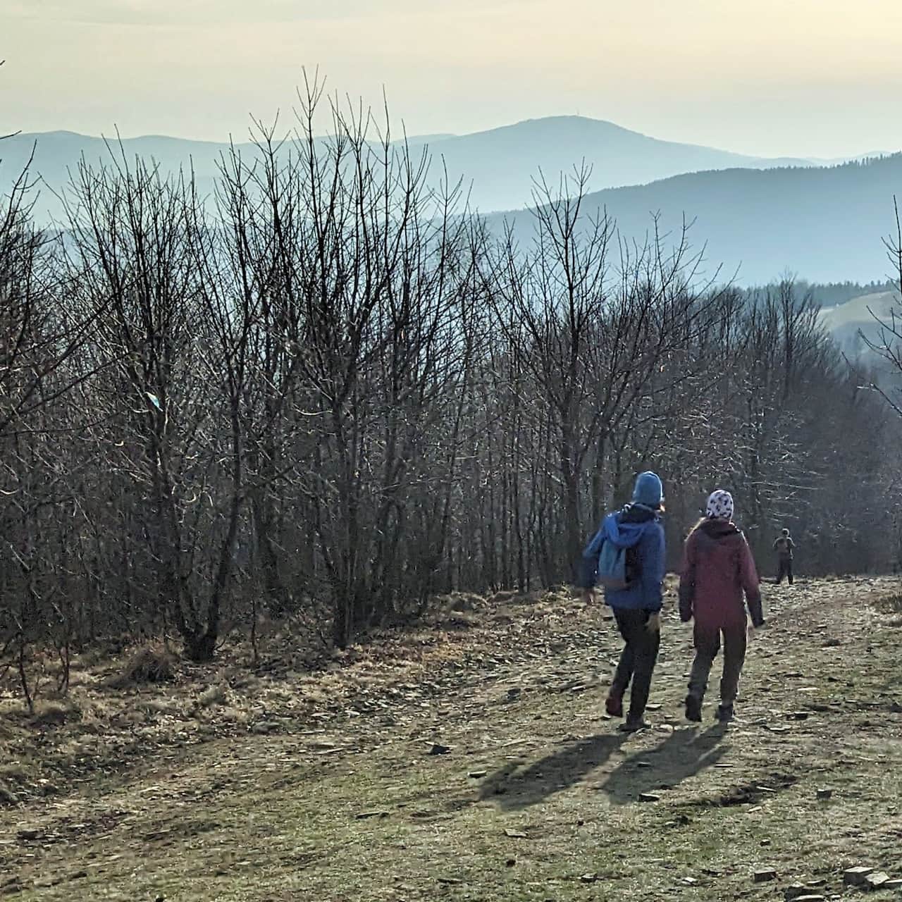
After the blue trail meets the red trail on the summit of Gaiki (816 m a.s.l. / 2,677 ft), it gets much easier: the route now follows the ridge, with gentle ups and downs and some flat sections.
Even though you walk in the forest most of the time, on both sides you can catch small "view windows".
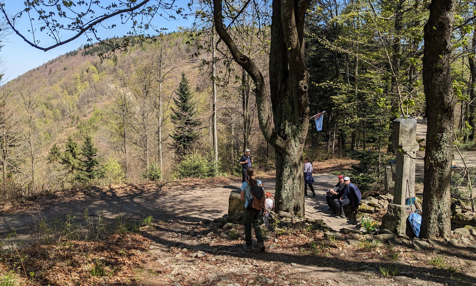
Groniczki - "U Panienki" Pass - Chrobacza Łąka
After reaching the summit of Groniczki (833 m a.s.l. / 2,733 ft), descend (quite steeply) to the saddle called "U Panienki". There is a small chapel here and a junction of trails. At this point the black trail from Lipnik joins the ridge—you can use it to go back down almost to the same place where you started the blue trail.
From the pass the trail climbs again, but there is not much left: about 20–30 minutes to the summit.
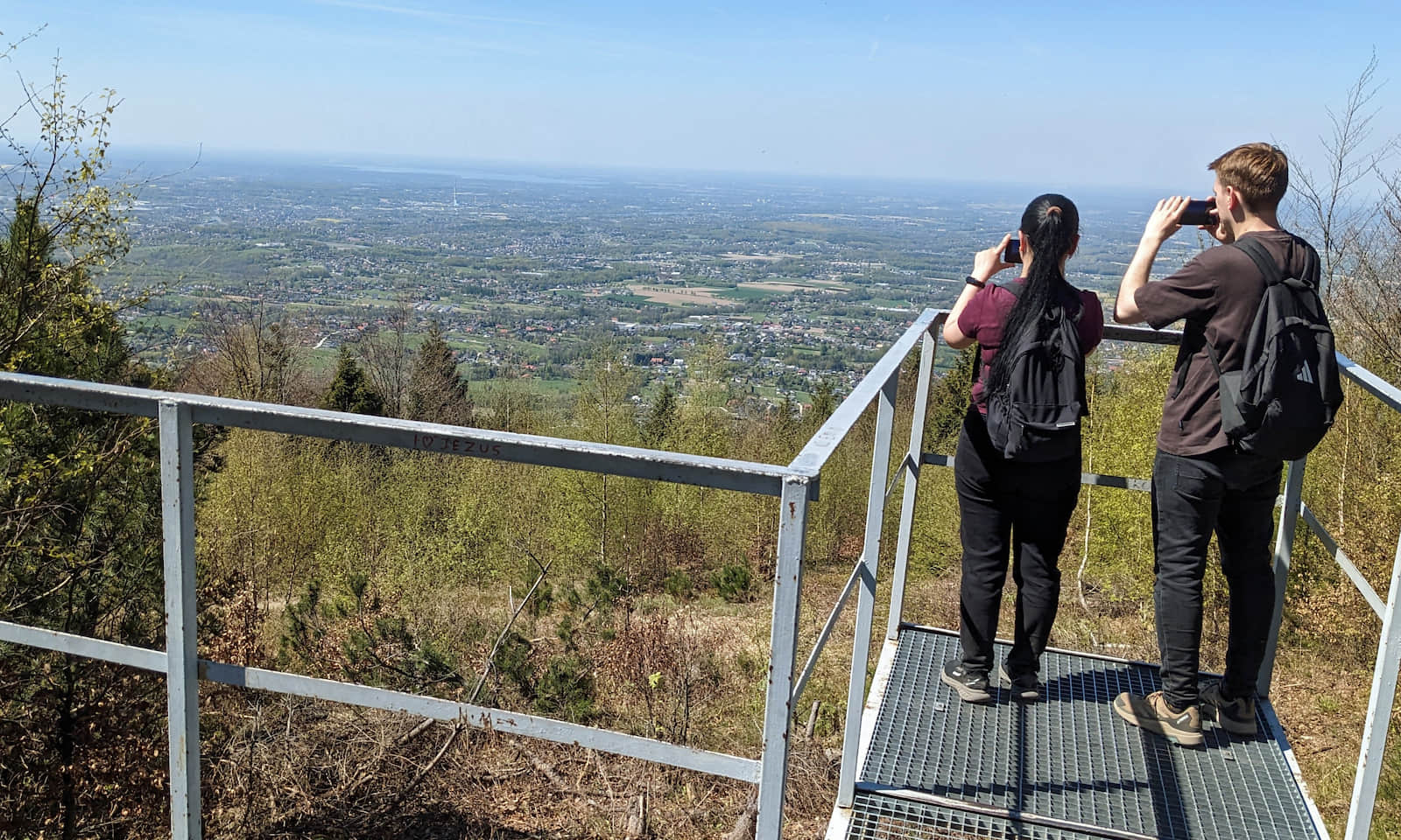
Chrobacza Łąka, 828 m a.s.l.—summit, cross, hut, and views
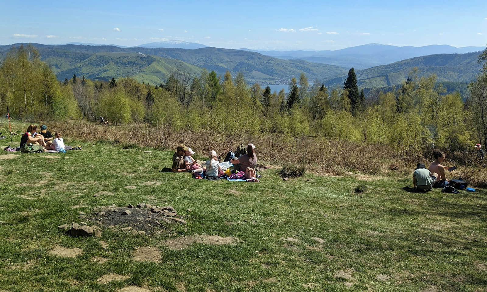
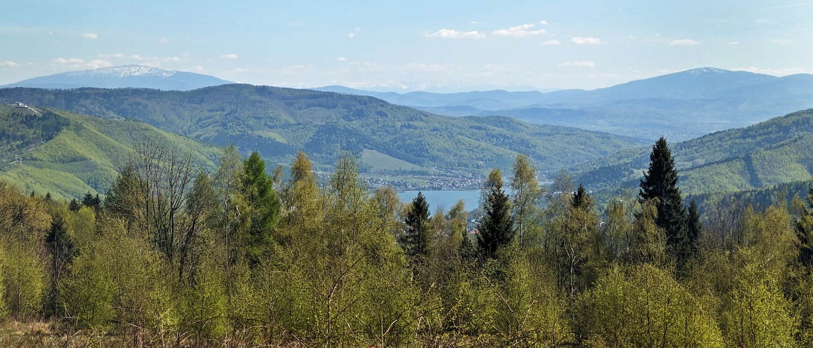
Right on the summit of Chrobacza Łąka stands a large cross with a viewing platform facing north. The mountain hut with a picnic meadow is a little lower, on the south side.
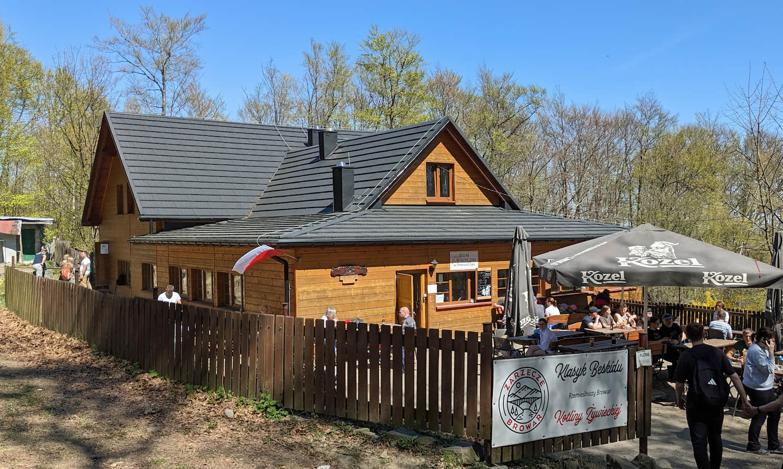
This small hut serves simple meals, snacks, drinks, and souvenirs. From the meadow beside it you get a beautiful view to the southeast: the Soła River Valley, Babia Góra, Pilsko, and even the Tatra Mountains on a clear day.
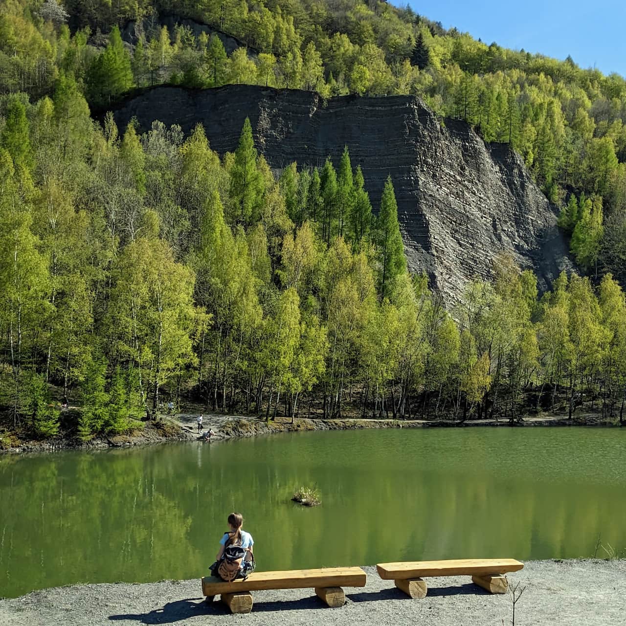
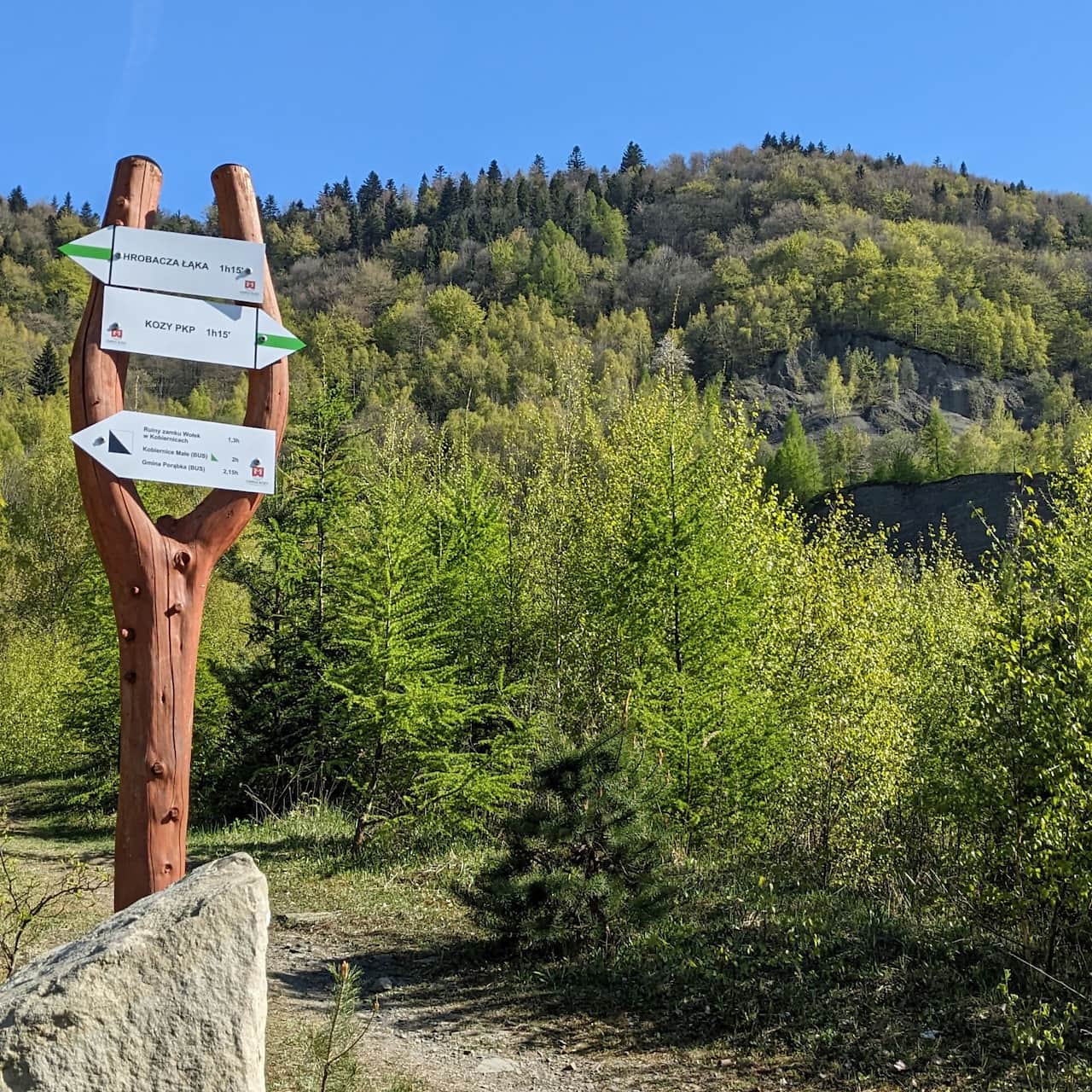
P.S. Would you like to hike to Chrobacza Łąka from Kozy (a nearby village) through a scenic quarry?
Medium
Chrobacza Łąka from Kozy via the quarry - green trail

Other scenic places, peaks, and trails in the Little Beskids (Beskid Mały)
Both the summit of Chrobacza Łąka and the meadow by the hut are among the best viewpoints in the Little Beskids. Check out the other ones too:
TOP 5 Beskid Mały: Most Beautiful Scenic Trails
Beskid Mały is an easily accessible mountain range on the border of Silesian and Lesser Poland Voivodeships, where you will find many trails for interesting and scenic family mountain excursions. ...

More in the Region Beskid Mały (Beskid Mały)