
Wysoka Peak in the Pieniny Mountains - all trails from the Polish side
Wysoka (1050 meters above sea level) is the highest peak in the Pieniny Mountains, located (for fun, it seems!) in the Lesser Pieniny. And don't be fooled - the mountain is 68 meters higher than the Three Crowns! From the summit, you can enjoy a beautiful panorama of the Tatra Mountains. The range of the Lesser Pieniny is located outside the Pieniny National Park, so you can hike to Wysoka with your dog (except for the trail through the Homole Gorge).
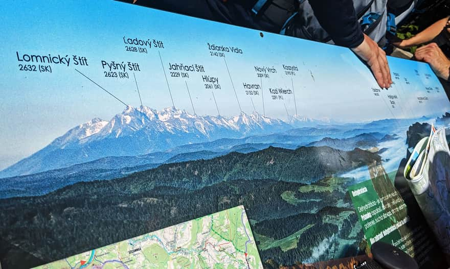
Wysoka, 1050 meters above sea level - views from the summit
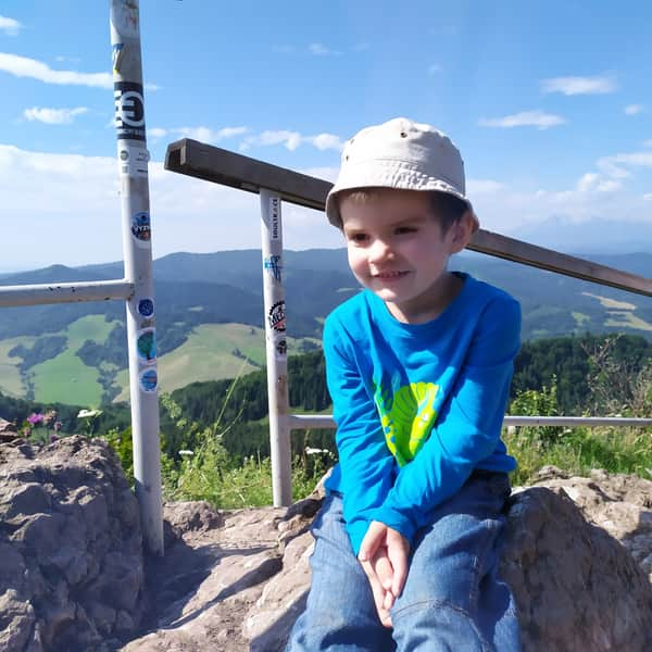
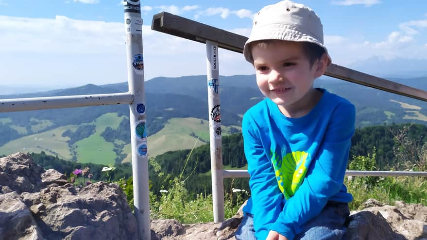
At the top of Wysoka, there is a small viewing platform fenced with barriers. From here, you can admire the beautiful views to the south (from southeast to southwest). You can see the Beskids, Spis Magura, Pieniny, and the Tatra Mountains from here...
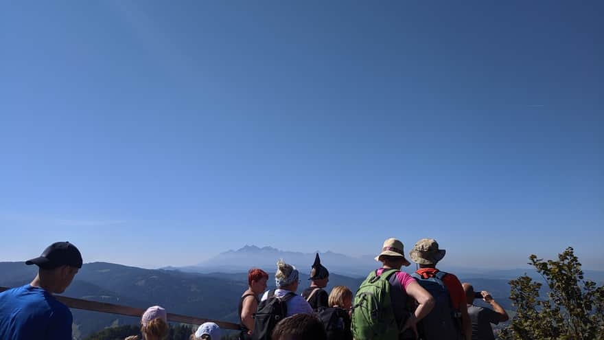
...as long as the views are not obstructed by crowds of tourists:
Wysoka - shelter and tent base
Is there a shelter on Wysoka? At the very top of Wysoka, there is barely enough space for tourists, so there is no possibility of any base, buffet, or accommodation. The nearest shelter, or rather the Mountain School and Recreation Center "Pod Durbaszką" (meals and drinks, accommodation only for organized school groups), is located less than 3 km from the summit of Wysoka.
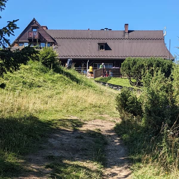
Shelter under Durbaszka - trails in the area
The Shelter under Durbaszka, or the Mountain School and Recreation Center, is a must-visit spot for hiking in the Small Pieniny Mountains! This atmospheric place offers simple meals, drinks, accommodations, and above all, a moment of relaxation during a mountain excursion. ...
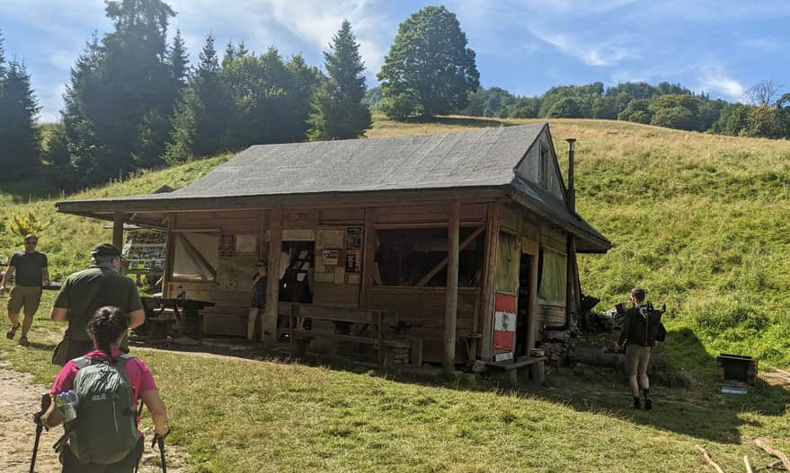
Closer - 1.5 km below the summit, at Polana pod Wysoką, along the green trail from the Homole Gorge, there is a seasonal student tent base. In summer (July and August), you can take shelter here from the rain, have a warm tea, and replenish your water supply at the spring.
You can see the exact locations of both places on the map in the article header.
How to get to Wysoka in the Lesser Pieniny Mountains?
Below you will find descriptions of all the trails leading to this extraordinary peak on the Polish side of the Pieniny Mountains: a short (but steep) one, a gentler (but longer) one, and even routes with attractions such as a train or a shelter along the way!
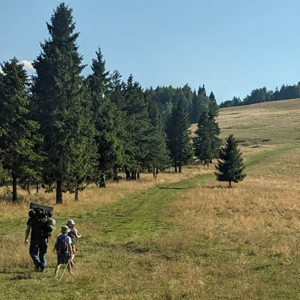
The shortest and most popular trail to Wysoka through the Homole Gorge
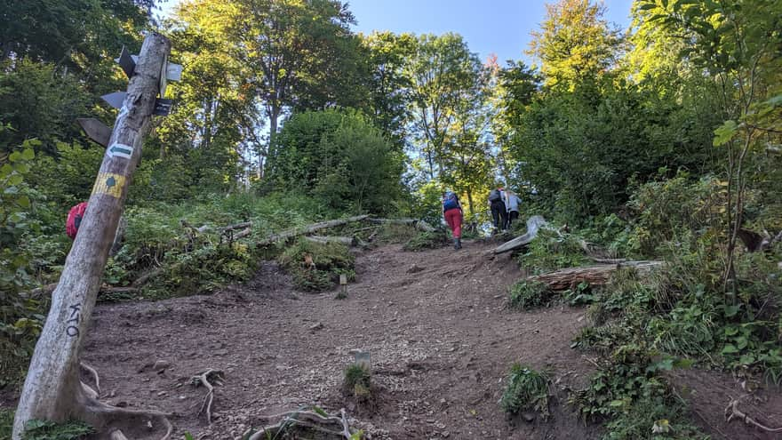
This is definitely the most popular, shortest, and most frequently chosen trail to Wysoka. In addition to the summit itself, the gorge itself is very popular and one of the main attractions of the Pieniny. However, after Polana pod Wysoką, we have a very difficult section: a steep path with a steep incline.
Medium
Wysoka Peak - the shortest trail through the Homole Gorge

The easiest trail to Wysoka
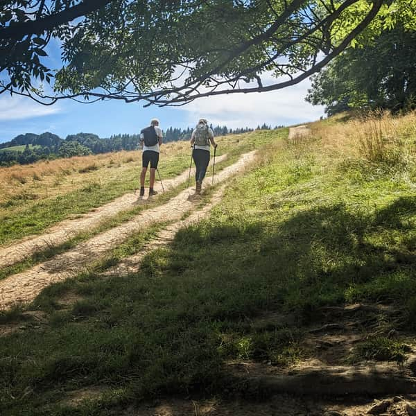
There will be much less steep ascents on the way to Wysoka through the shelter at Durbaszka and the summit of Borsuczyna. This route is just over 5 km and 540 m of elevation gain, and it takes about 2 hours to complete.
First, we walk on an unmarked but wide and comfortable access road to the shelter (about 1 hour). From there, we climb onto the ridge and then follow the blue trail to the summit of Wysoka. At the very end of the trail, we also have to overcome a final steep ascent, but it is much shorter than the one from the Homole Gorge (here we only have about 200 meters of steepness).
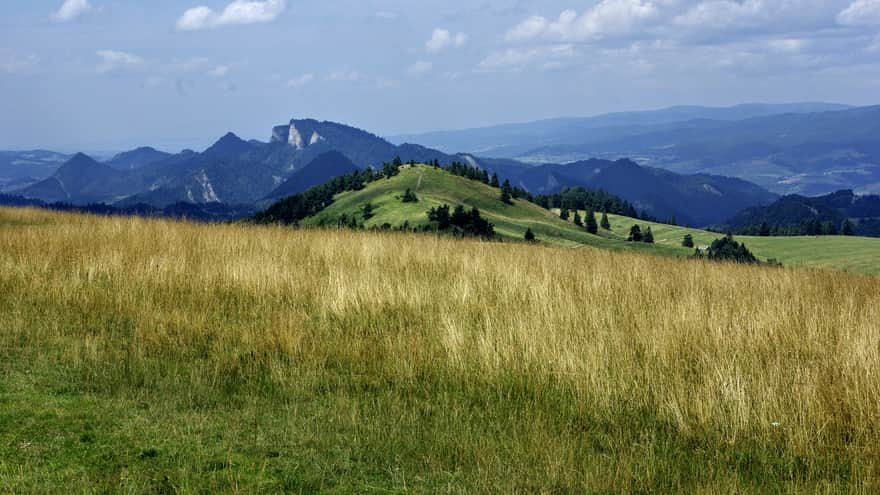
To Wysoka through the Biała Woda Reserve
This trail is longer (9 km, 660 m of elevation gain, to be completed in about 3.5 hours one way), but it is very scenic, less steep, and much less frequented.
The yellow trail leads us through the picturesque Biała Woda Reserve and climbs through meadows to the scenic Rozdziela Pass. From there, we have about 2 more hours of hiking on the border blue trail to reach the summit of Wysoka.
In the final section, this trail also passes through a difficult ascent, but with a shorter section than the trail from the Homole Gorge (about 500 meters of steepness to overcome).
Medium
Hiking to Wysoka through the Biała Woda Reserve and Przełęcz Rozdziela

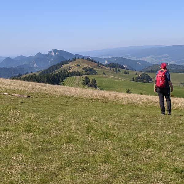
To Wysoka from Szczawnica and Palenica
If you want to reach Wysoka from Szczawnica, you initially have to climb or take the chairlift to Palenica - as the trail itself is quite long, the chairlift makes the hike much easier.
From the summit of Palenica, we continue along a gentle and scenic ridge.
In total, we have to cover 9 km, 700 m of elevation gain, almost 4 hours of hiking (and in the case of using the chairlift to Palenica: 8 km, 500 m of elevation gain, about 3 hours).
Here is the description of this trail in the opposite direction: from Wysoka to Szczawnica.
Medium
Along the Ridge of the Small Pieniny Mountains: Wysoka - Szczawnica


