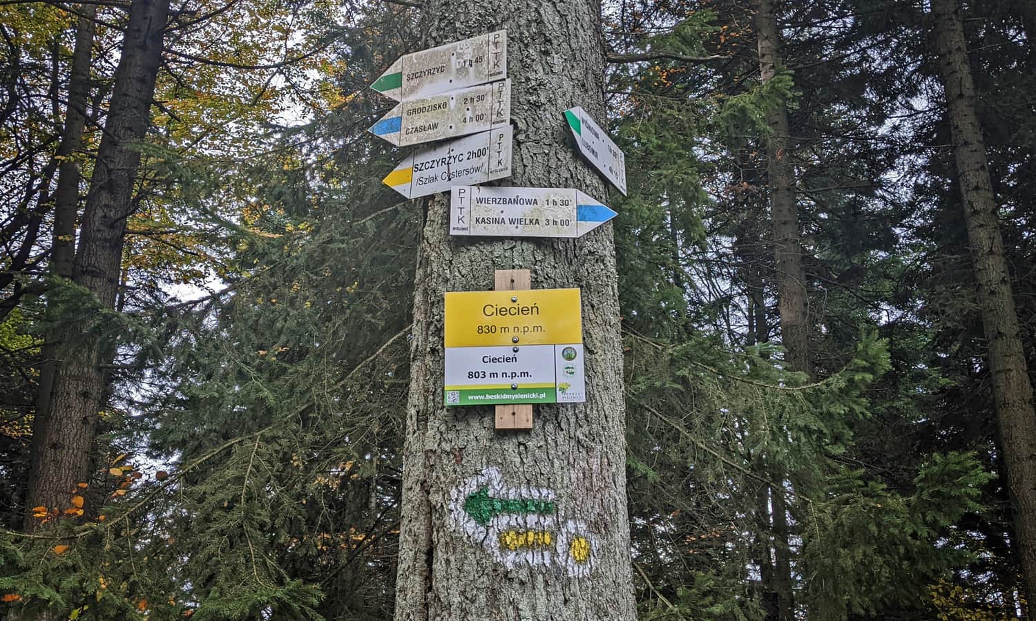
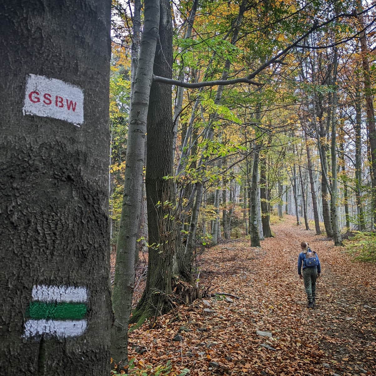
Trails to Ciecień
Ciecień is a not very high peak in the Beskid Wyspowy range, measuring only 830 meters above sea level. It stands out from the surrounding area with its north-south ridge, while all other ranges align east-west. Just below the forested summit, there is a beautiful viewpoint meadow where you can even see Babia Góra.

Did you know that there used to be many more meadows here, and the non-forested summit was even called "Łysa Góra" or "Goła Góra"? In the Middle Ages, this mountain was called "Czeczen".
Ciecień, 830 meters above sea level - a peak in the Beskid Wyspowy range
Although Ciecień is not as high as its closer and more distant neighbors (Lubomir and Lubogoszcz exceed 900 meters, and Śnieżnica and Ćwilin are over 1000 meters above sea level), Ciecień has its own advantages!
First of all, it is easy and convenient to reach Ciecień from Krakow. It is less than 40 kilometers from the city center to Wiśniowa (a little further to Wierzbanowa or Szczyrzyc), and if we choose the route through Wieliczka, we can completely avoid the Zakopane road. Perhaps it is the good access from Krakow that made the forests on the Ciecień ridge a favorite hunting ground of King Władysław Łokietek?
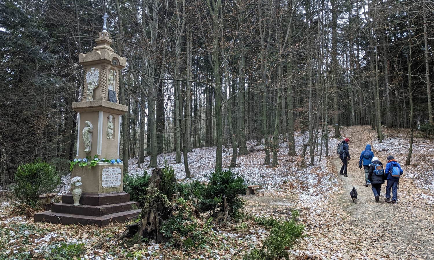
The more recent history reminds us of the partisans stationed here. Plaques and a cross on the nearby Grodzisko serve as reminders of them. Today, paragliders, who have their takeoff base on the meadow below the summit, eagerly visit the peak of Ciecień. Watching their flights is an additional attraction for hikers!
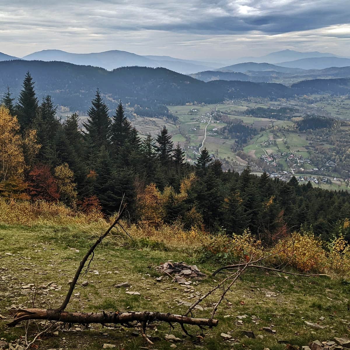
Ciecień - views and panorama from the summit
If we don't encounter the spirit of King Władysław, traces of partisans, or modern paragliding enthusiasts, we can always admire the view from the meadow below the summit, called "Wielkie Pole". What can we see from the so-called Great Field?
The Wielkie Pole meadow offers a view to the west and southwest. In the foreground, there is Wierzbanowska Góra (on the left) and Lubomir and Kamiennik (on the right). Behind Wierzbanowska Góra, the ridges of Lubogoszcz and Szczebla emerge, and further away, Luboń (recognizable by its tall mast). In good weather, in the middle, in the farthest background, you can see the characteristic and majestic silhouette of the Queen of the Beskids, Babia Góra (marked with a yellow dot in the photo).
How to get to Ciecień?
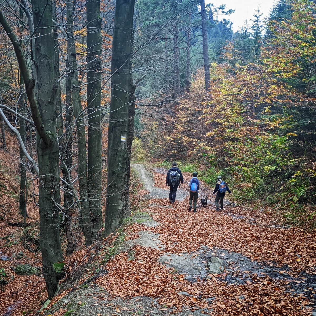
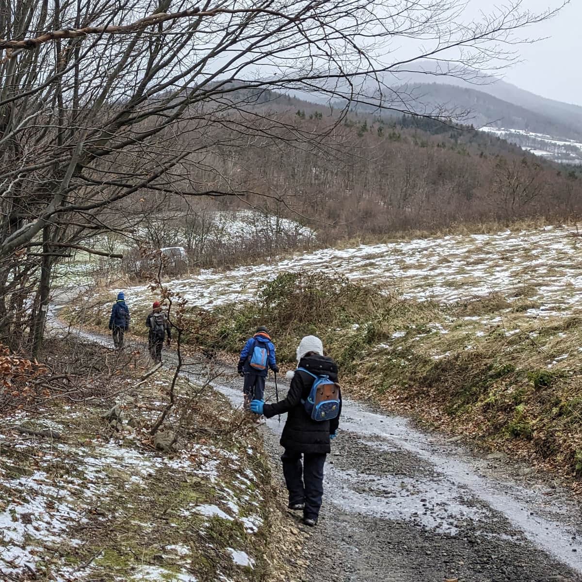
There are many trails leading to the summit from the surrounding area. Some of them can be combined into a loop, meaning you can go up one trail and come down another to the same place. Which one should you choose?
Wierzbanowa: the shortest and easiest trail to Ciecień
The easiest and at the same time shortest way to the summit of Ciecień leads from Przełęcz Wierzbanowska. There is also a PKS bus stop here (Wierzbanowa III Skrzyżowanie; on request). The blue trail will take us to the summit in about 1 hour, with only 2 kilometers and about 300 meters of elevation gain to overcome.
The downside of this trail is the lack of organized parking and the inability to make a convenient loop back to the same place. For example, if we descend the red trail to Skrzydlna and then to Przełęcz Wierzbanowska, we will have to walk 2 kilometers back on the asphalt road through Przenosza.
Loop from Wiśniowa to Ciecień
If you want to hike to the summit of Ciecień in a loop, a good starting point is Wiśniowa. There is a large, convenient, and free parking lot here, as well as a variety of gastronomic facilities (bars, pizzerias, shops).
You can choose the shorter green trail:
Medium
Green Trail to Ciecień from Wiśniowa

or the slightly longer but easier yellow trail through Księża Góra:
Medium
To Ciecień from Wiśniowa - yellow trail

Both trails start from the same place: the center of Wiśniowa, so it's easy to combine them into a 3-4 hour forest walk.
Ciecień - loop from Szczyrzyc
Another good starting point is Szczyrzyc, where you can also visit the historic Cistercian monastery (and the monastery brewery). You can choose a loop through Księża Góra, which involves the yellow, blue, and green trails, or a slightly longer version with the green and red trails. Both versions of the route are approximately 10 kilometers long and have an elevation gain of 500 meters, which takes about 3.5 hours of walking.
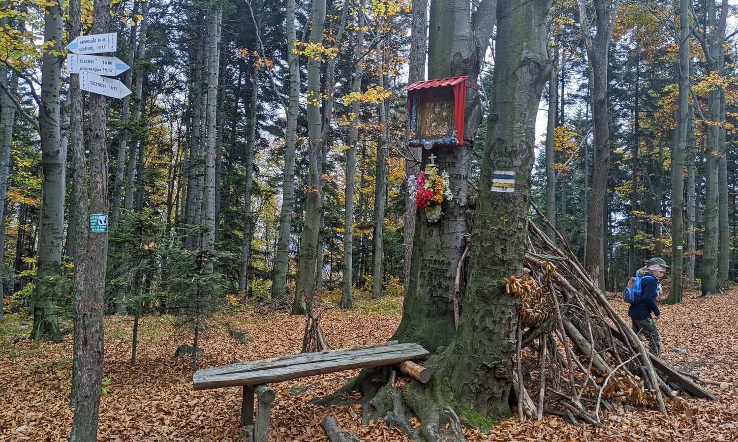
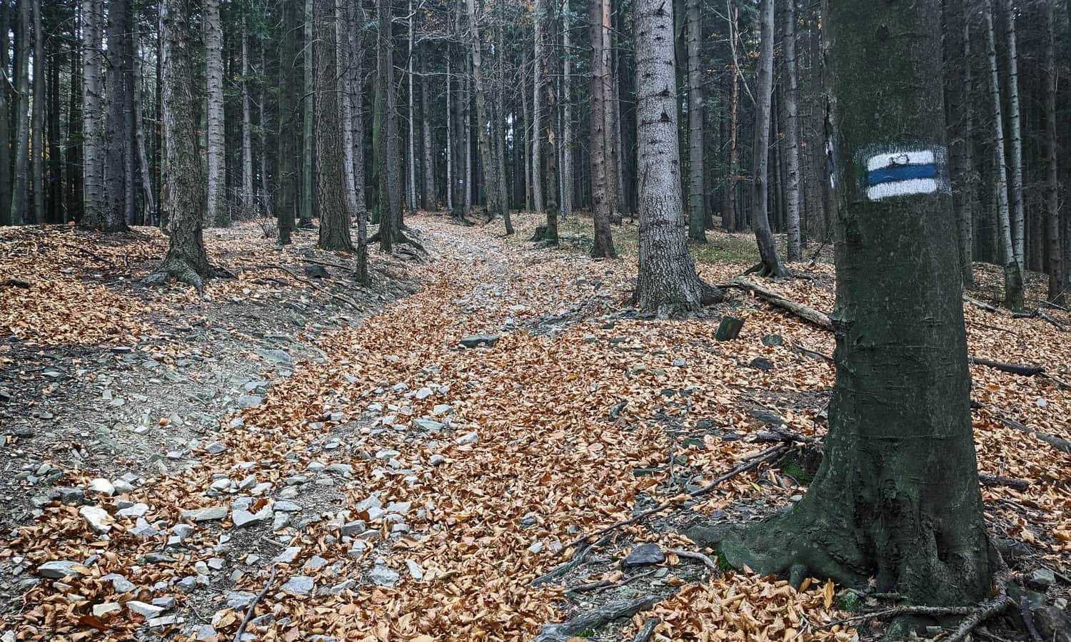
Blue trail along Grodzisko - Ciecień ridge
The north-south ridge stands out among the mountain ranges that run east-west. The route between the distinctive, steep peak of Grodzisko in the north, through Cubla Góra and Księża Góra, to the highest peak, Ciecień, in the south, is about 6 kilometers long, which takes about 2 hours of easy forest walking. Going from south to north, the path is downhill, while going from north to south is uphill.
Both Grodzisko and Ciecień offer beautiful viewpoints, and the entire route is surrounded by forests, which can be very desirable when looking for a shaded trail on a hot lazy day. Additionally, at Grodzisko, you can learn about the medieval castle and partisan fights!
Medium
Grodzisko and Cietnia: blue trail from Poznachowice Gorne