Grodzisko and Cietnia: blue trail from Poznachowice Gorne
Nearby: Dobczycebeach_access Route in the shade
directions_car Access by car
The Cietnia ridge trail from the northern peak of Grodzisko, through Cubla and Ksiaza Gora, all the way to Cietnia itself, is a pleasant forest walk with a few scenic viewpoints along the way.
Beginning of the blue trail - Poznachowice Gorne
The long-distance Swoszowice-Skawa trail leads through the entire Cietnia Range from north to south. The easiest way to start the hike is in Poznachowice Gorne, at the border of the asphalt road and the forest. Although there is no designated parking lot here, a few cars can fit in the pull-off by the road.
From Poznachowice to Grodzisko
Grodzisko is not very high, but it is a distinctive, cone-shaped peak that stands out in the area. Here is Grodzisko seen from the viewpoint below the summit of Lubomir:
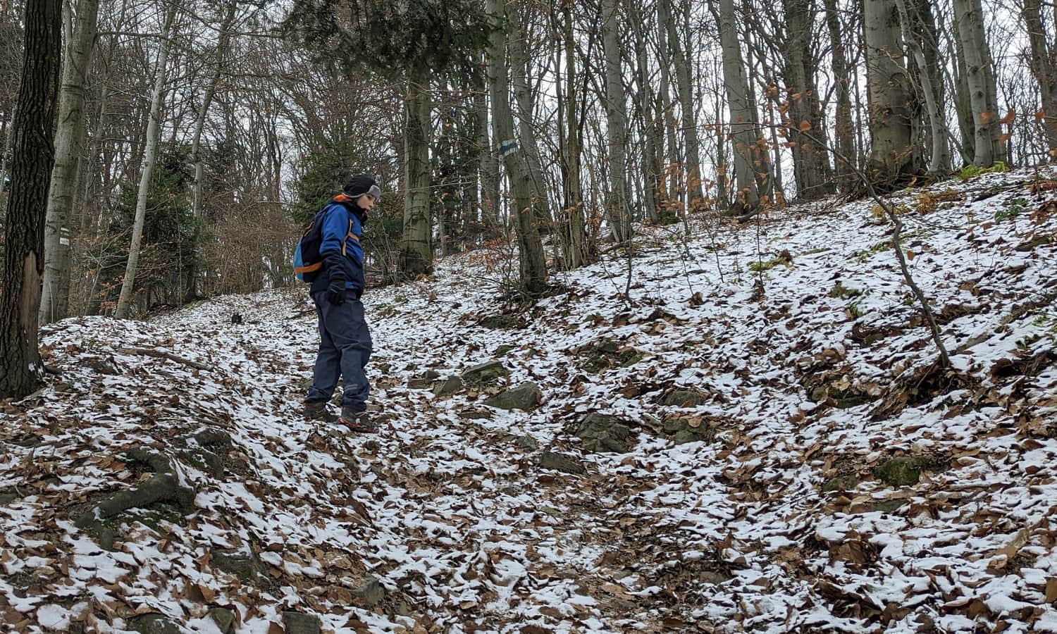
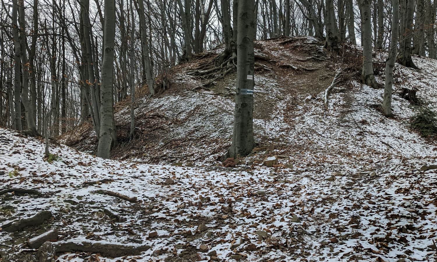
It must be admitted that the ascent to the summit of Grodzisko from Poznachowice is short but quite steep: over a distance of 800 meters, we climb an elevation difference of almost 200 meters.
Grodzisko, 618 m above sea level - what will we see at the top?
The summit of Grodzisko is currently completely forested, but the terrain clearly indicates that it was not always the case!
The history of the stronghold and fortress on Grodzisko
Numerous ditches, moats, and ramparts, as well as traces of stone foundations around the summit, are remnants of the former fortress. It is most likely that a stronghold existed here as early as the Lusatian culture period (findings from around the 5th century BC), as well as during the Tyniec culture period (2nd-1st century BC).
Later, during the reign of the first Piasts, an early medieval stone stronghold called the "Szczyrzycki stronghold" was built here, which was destroyed during the Mongol invasions in the 13th century. This stronghold was written about by Karol Bunsch in the novel "Dzikowy Skarb" (set in the times of Mieszko I).
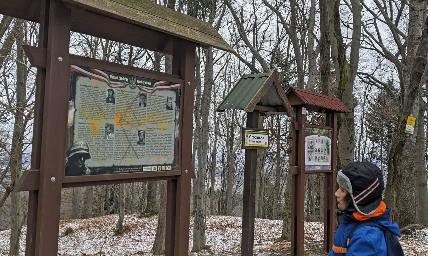
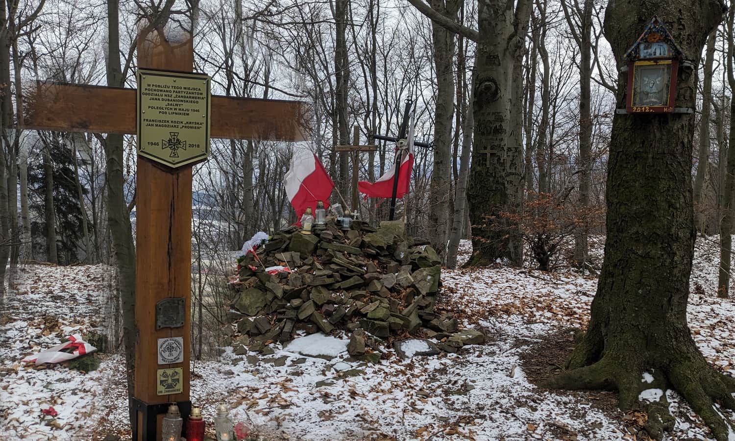
Partisans on Grodzisko
Today, the partisans who operated in this area during World War II are primarily commemorated on the summit of Grodzisko (the shelter of the "Smialy" unit and a partisan hospital were located here), as well as two anti-communist opposition partisans buried in the vicinity. They are commemorated by symbolic graves, a cross, and informational plaques.
From Grodzisko to Cietnia
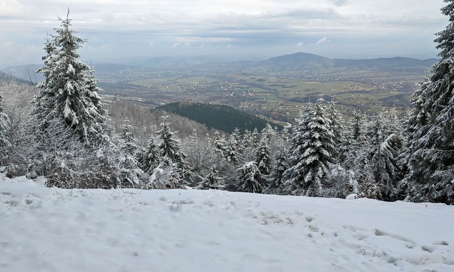
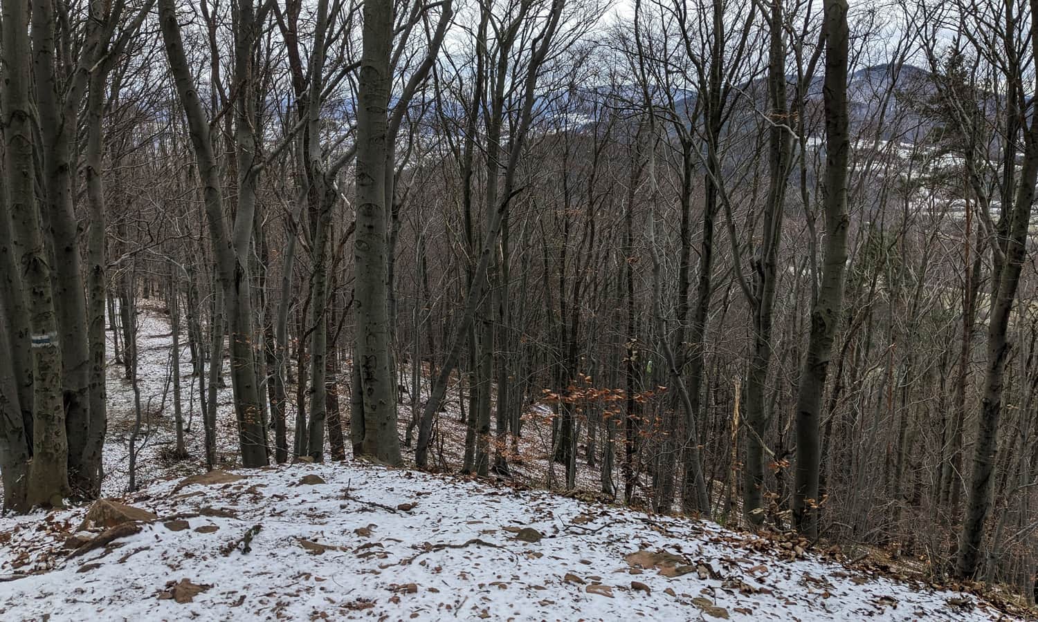
From the summit of Grodzisko, we descend to the north, towards the Borsuki settlement. Here, the black trail from the Stradomka Valley joins us, and on the wide meadows, there are views to the south and west. From here, we can see the destination of our hike - the quite prominent, double-peaked dome of Cietnia, and in the background, the much lower Ksiaza Gora. From the west, the massif of Lubomir and Lysina, as well as Kamiennik, are visible.
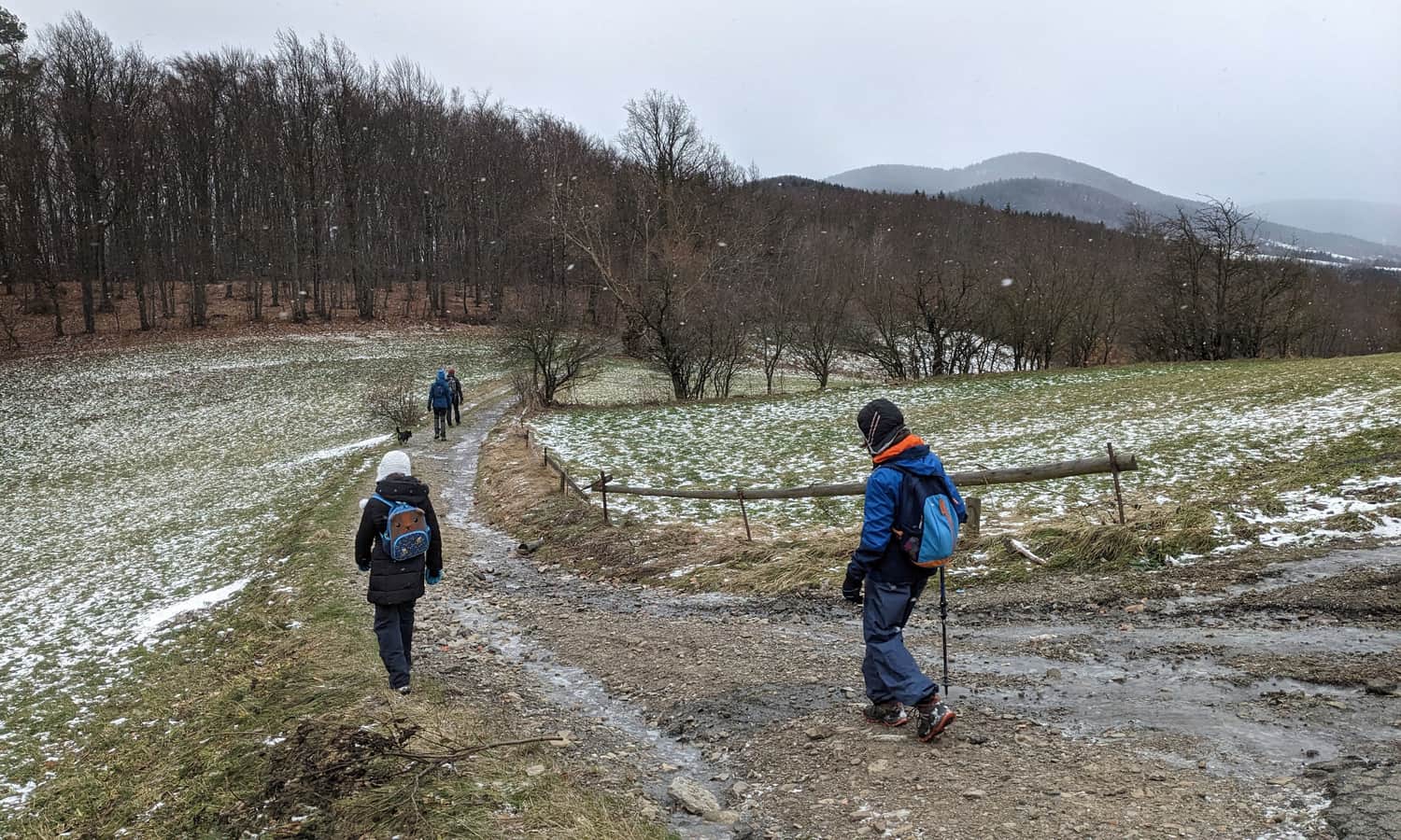
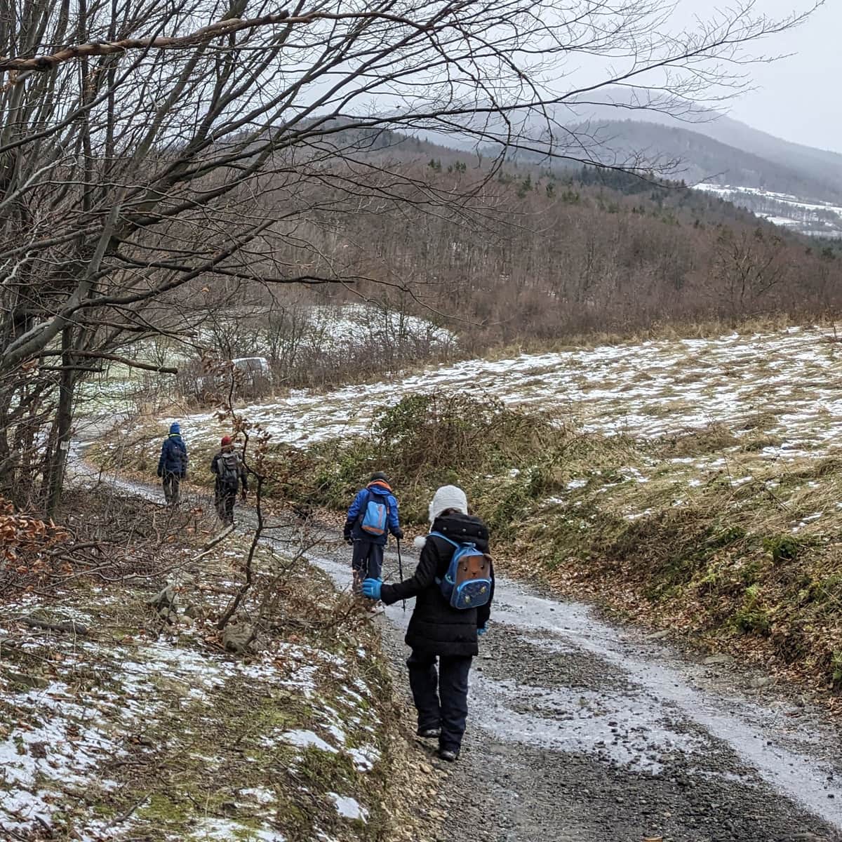
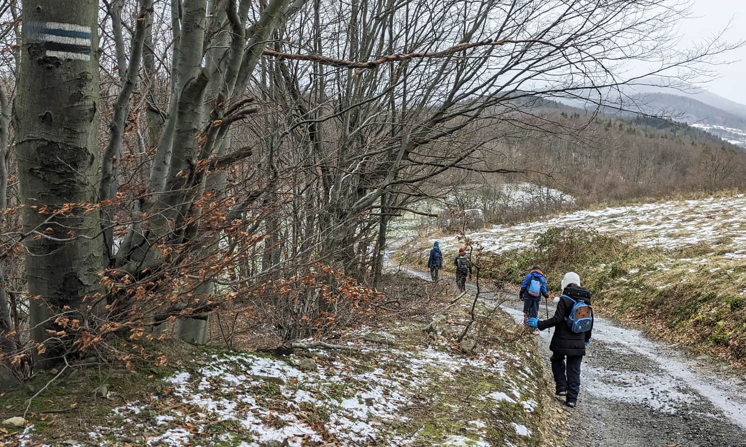
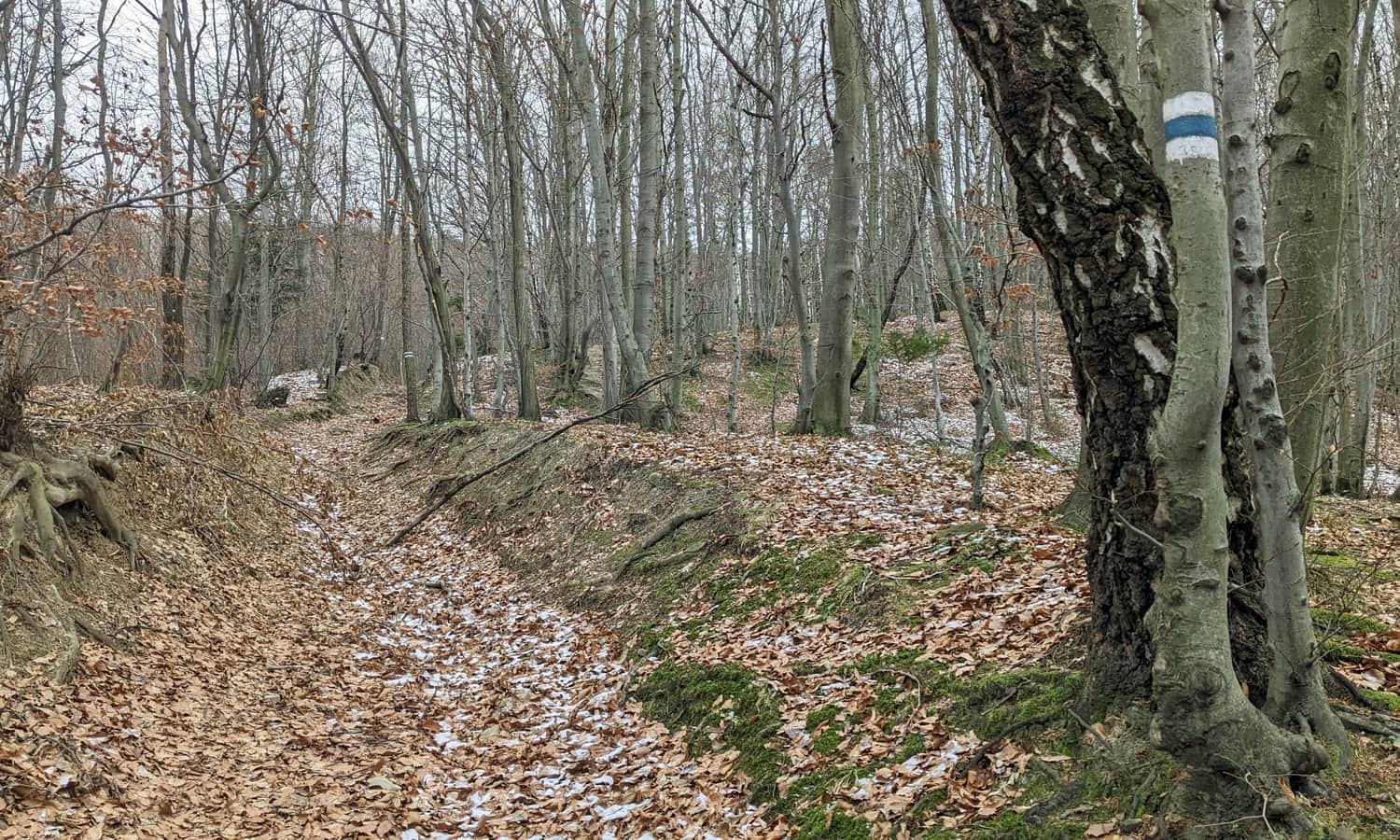
The trail from Grodzisko to Cietnia is a wide, comfortable forest road, which, as is often the case on a ridge, alternates between slight ascents and descents, and often leads on a mostly flat terrain.
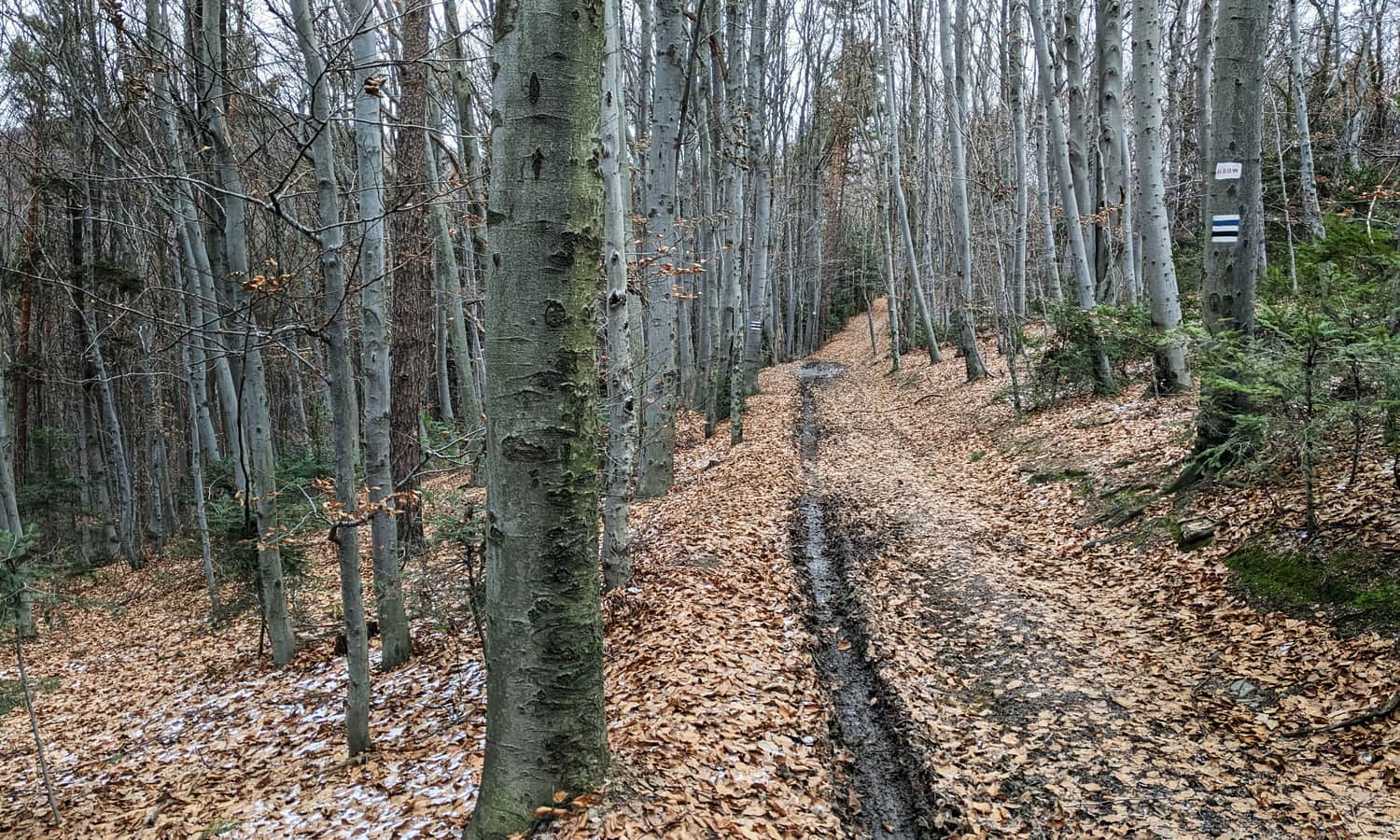

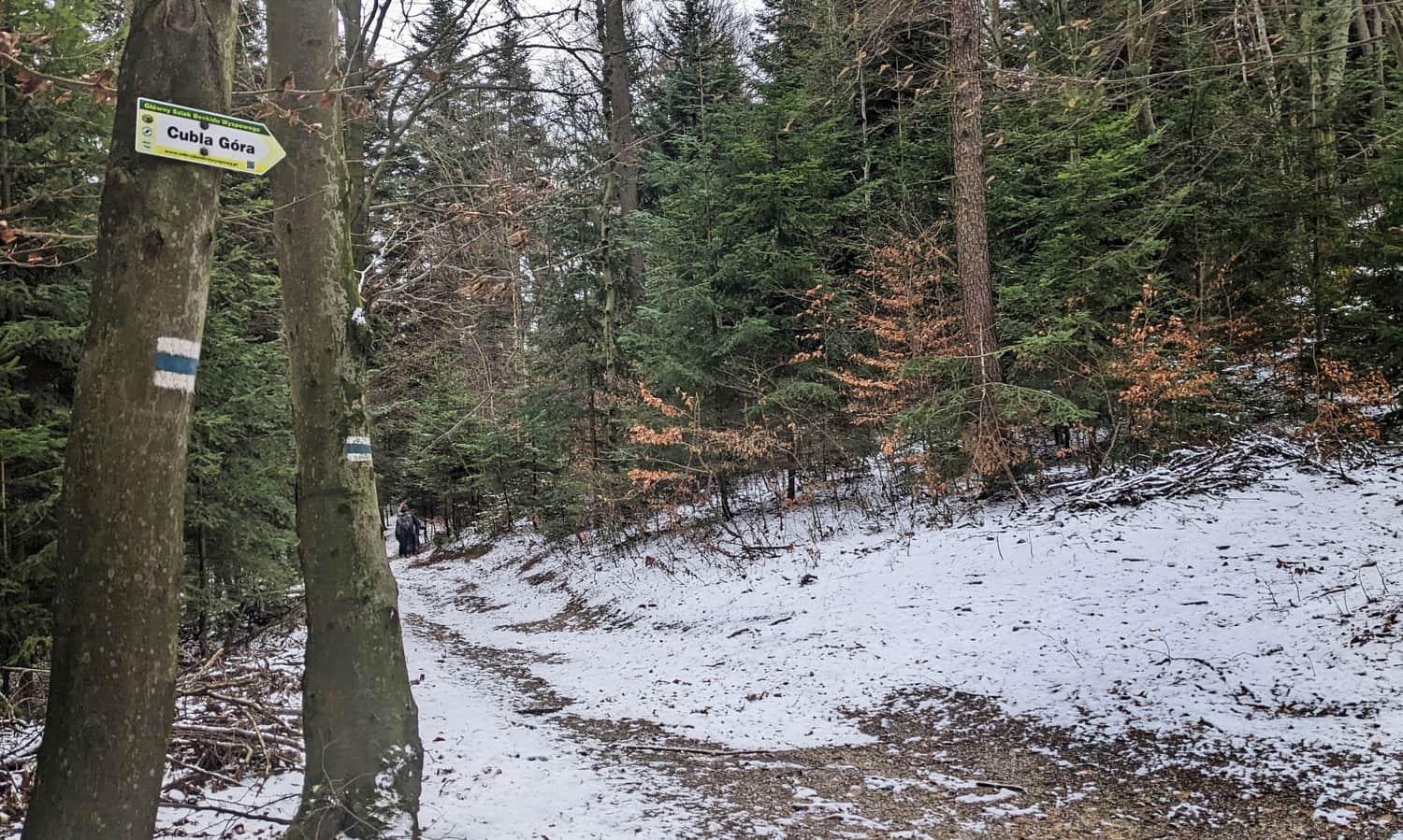
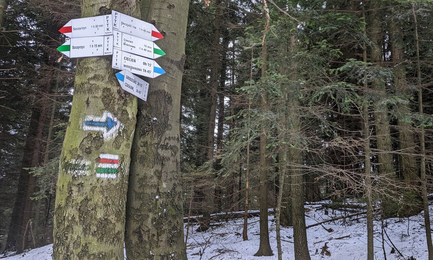
Along the way, after separating from the black trail, we traverse two poorly distinguishable peaks, first Cubla Gora, and then Ksiaza Gora.
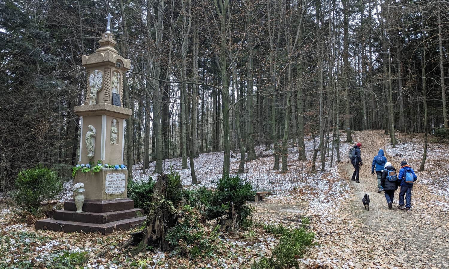
Chapel below Ksiaza Gora
Between Cubla Gora and Ksiaza Gora, there is an impressive pillar-shaped chapel from 1869, with a bench next to it.
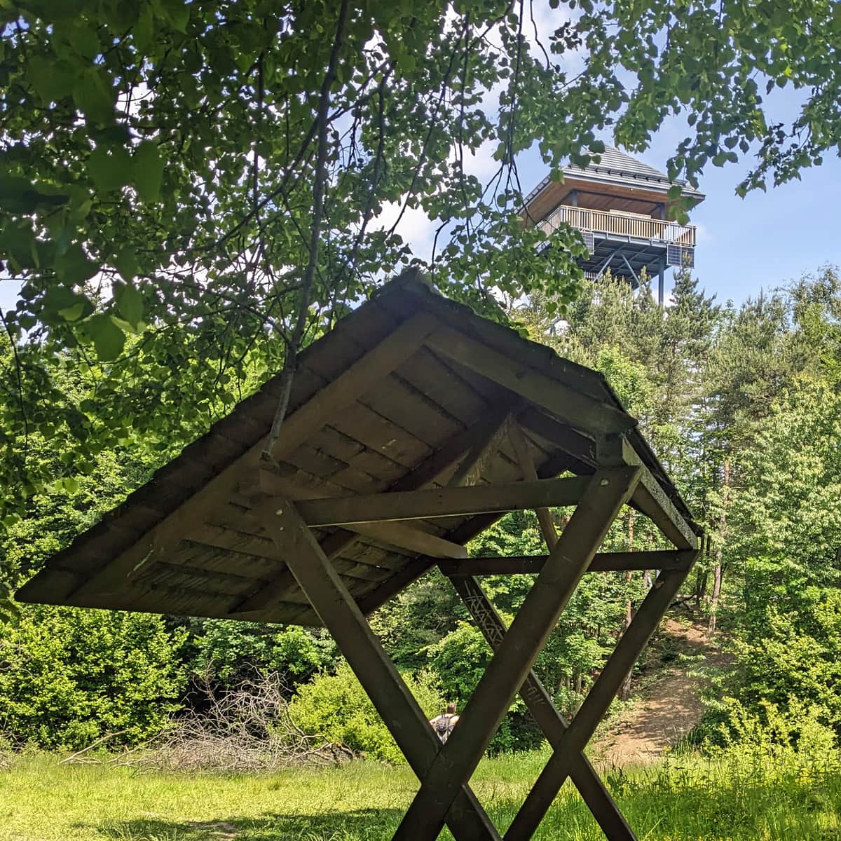
On Ksiaza Gora itself, we will find a small clearing surrounded by the forest, an altar, and a cross. There used to be a wooden observation tower here (dismantled in 2014).
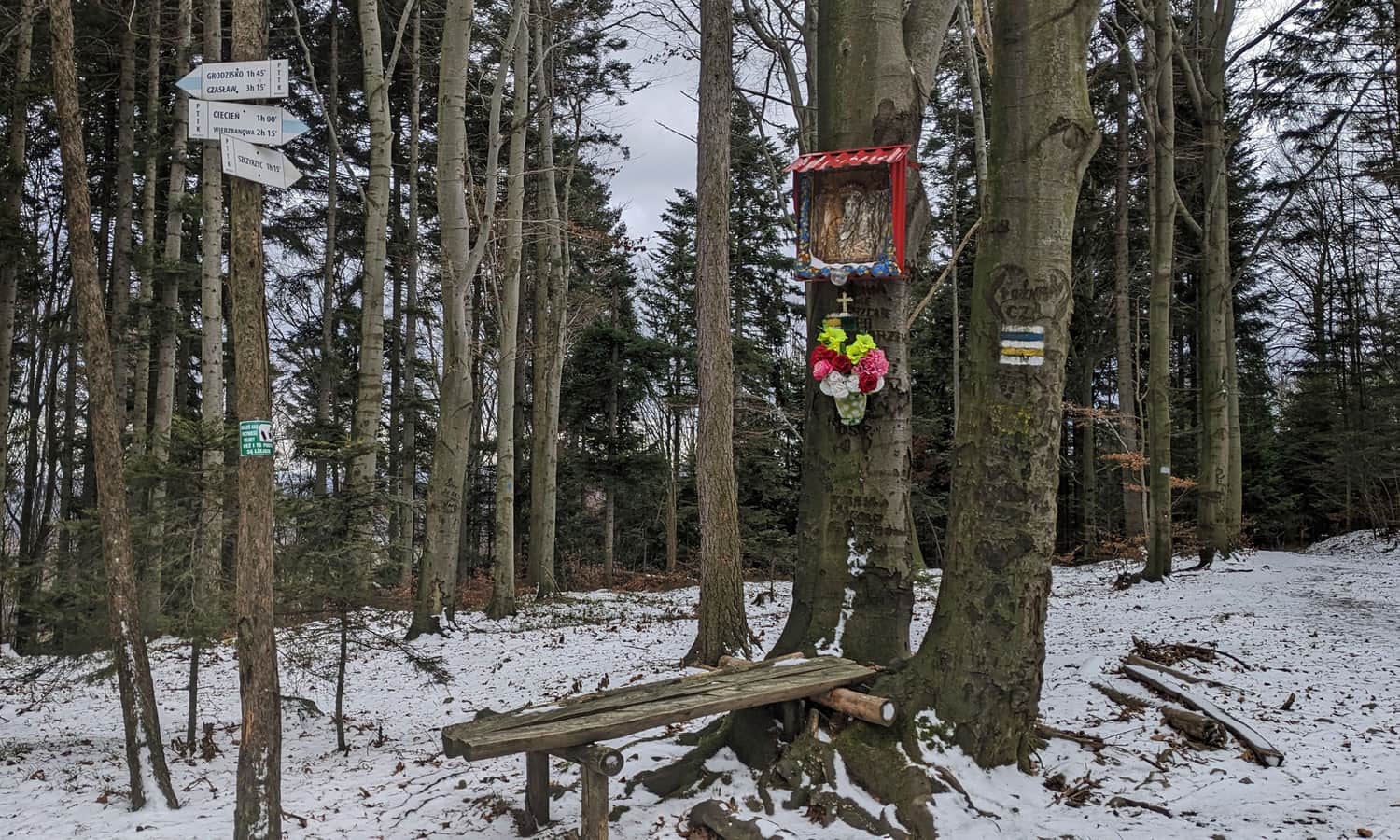
Just past Ksiaza Gora, at the intersection of the blue ridge trail with the yellow - the so-called Monastic Route, which connects Wisniowa with Szczyrzyc - a small chapel and another bench await us:
Ascent to Cietnia
Just before the summit of Cietnia, the green and red trails from Szczyrzyc join our blue trail. When the red trail turns away from us and the yellow trail joins instead, it means that we have one last steep but not too long section of ascent to the summit.
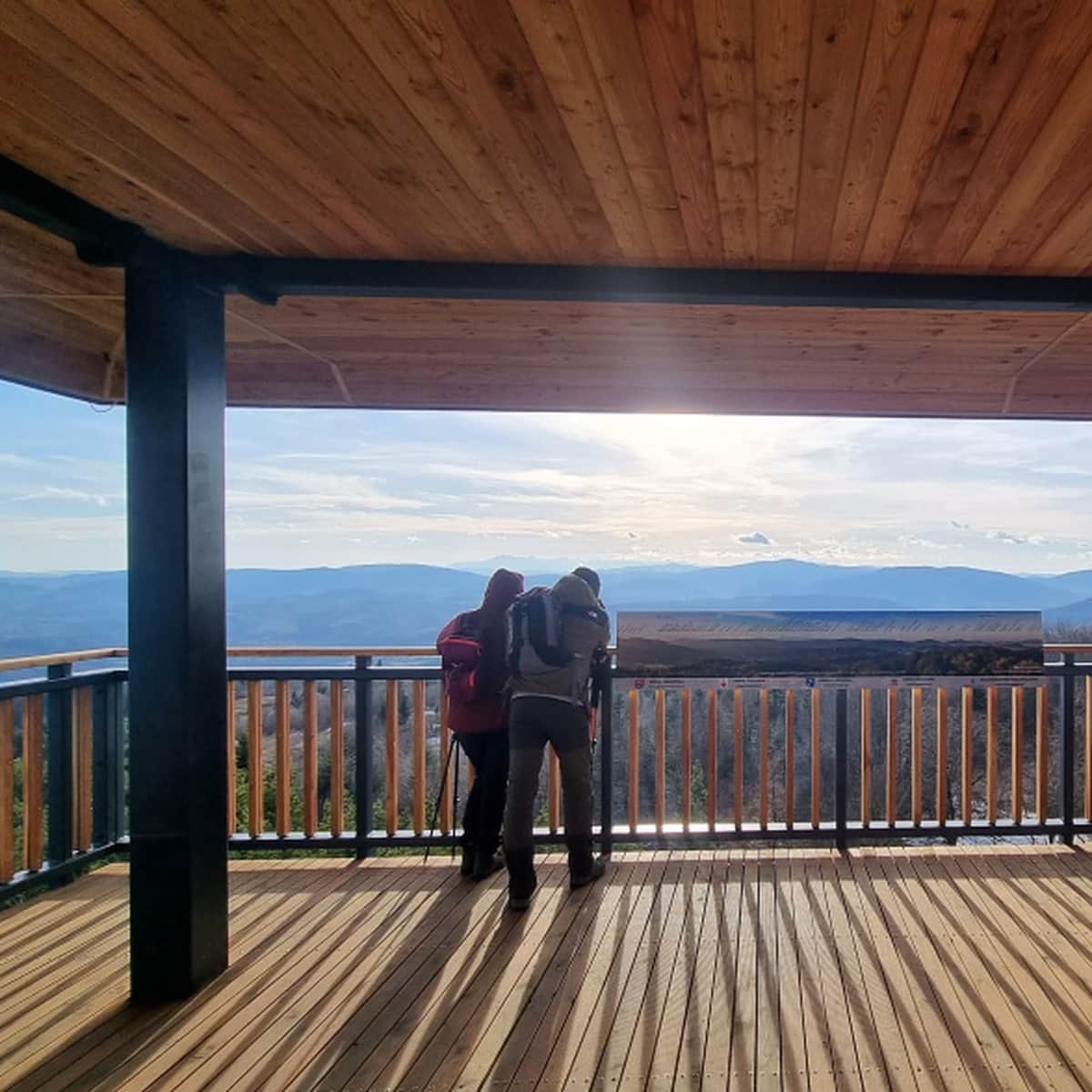
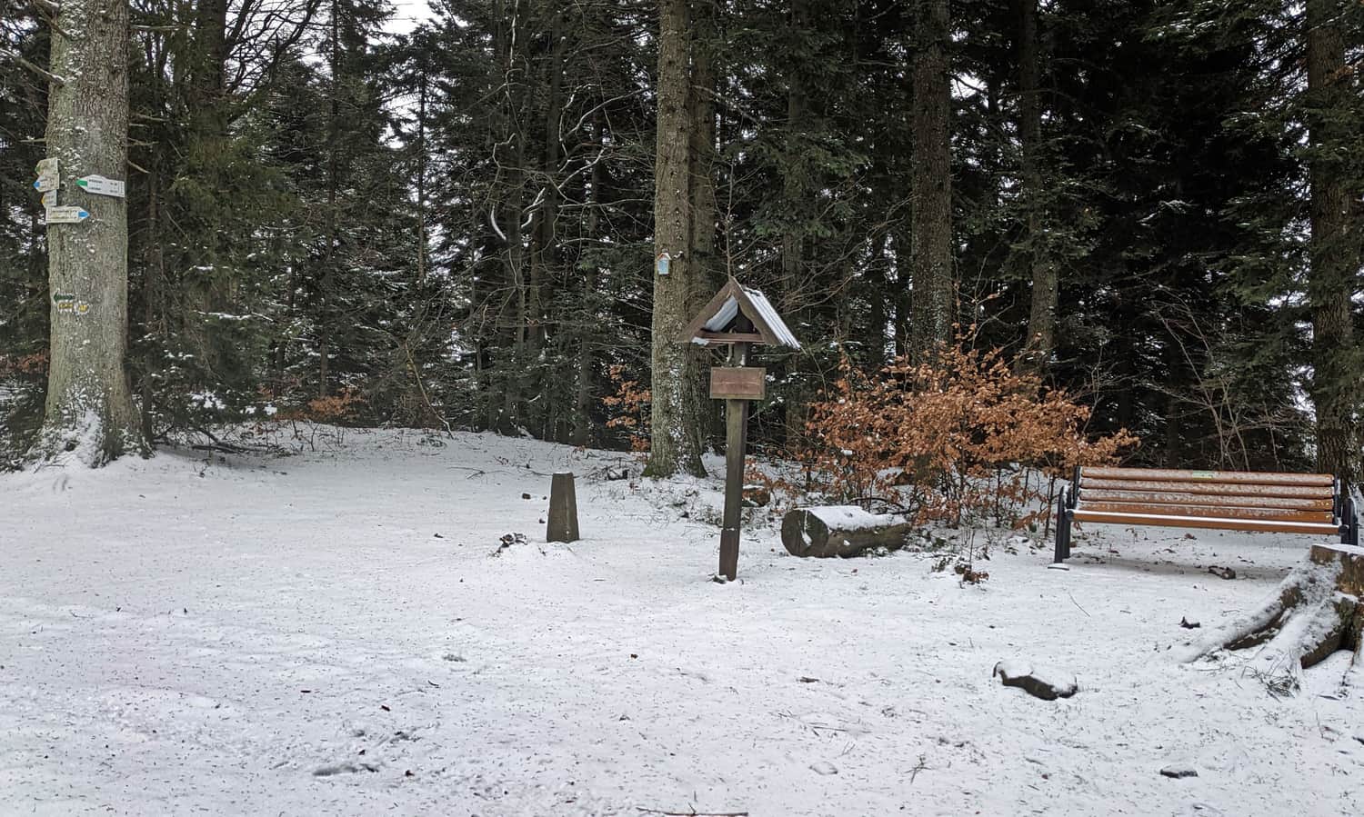
Cietnia, 830 m above sea level - summit and attractions at the top
At the summit of Cietnia, there is a signboard (no stamps) and a bench... and a forest. To see the views, we need to descend slightly below, following the blue markers (about 5 minutes below the summit).
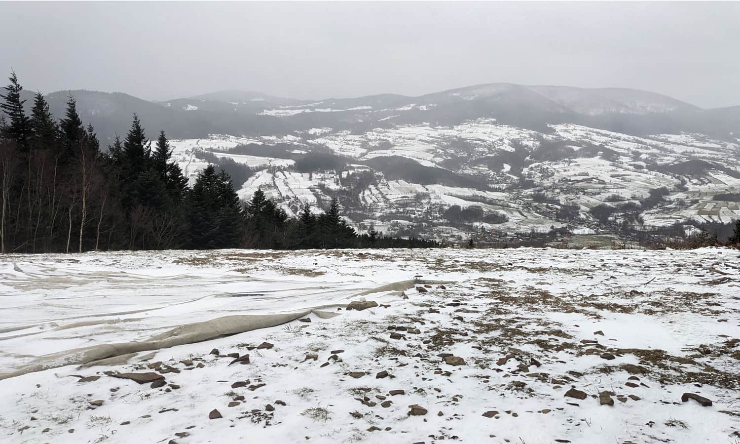
Here, we will find such a panorama, here in the winter fog:
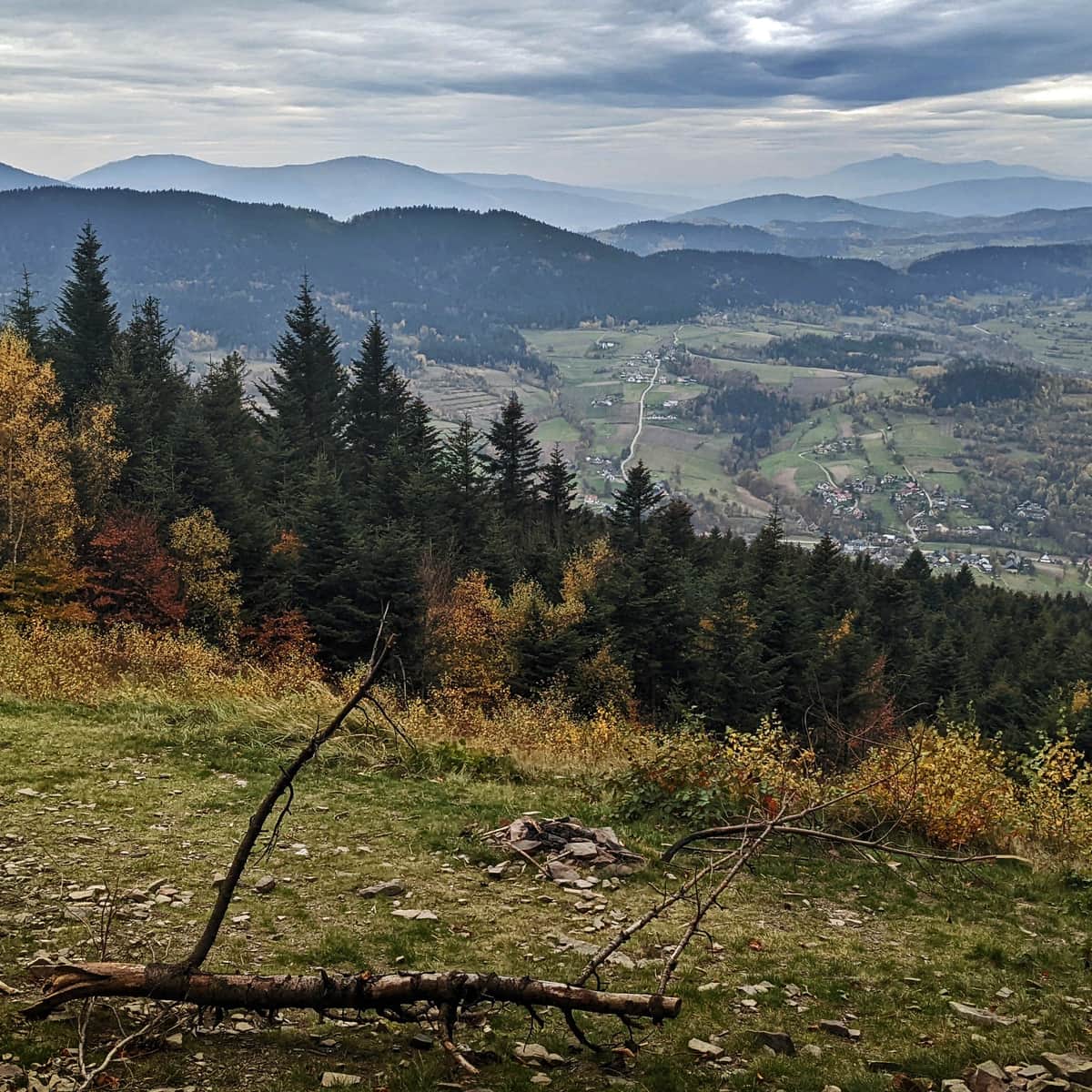
...or a slightly better one in the autumn weather:

Cietnia - curious, views, trails
You can read more about Cietnia and interesting facts about this peak and other trails that lead here in the article:
Trails to Ciecień
Ciecień is a not very high peak in the Beskid Wyspowy range, measuring only 830 meters above sea level. Just below the summit, there is a viewpoint meadow. ...
Back to Poznachowice
Returning to Poznachowice Gorne along the same trail should take about 2 hours. Alternatively, we can descend on the green trail to Wisniowa and try to catch a bus or hitchhike to Poznachowice. The descent to Wisniowa takes about 45 minutes. The route along the asphalt road from Wisniowa to Poznachowice Gorne is about 5 km long.

Publish Date:
Last Updated: