To Ciecień from Wiśniowa - yellow trail
Nearby: Myślenice| Distance | 4.5km |
|---|---|
| Time | 2h 22min |
| Ascents | 497m |
| Descents | 40m |
beach_access Route in the shade
directions_car Access by car
directions_bus Can be reached by bus
Easy trail to Ciecień from Wiśniowa. At the top, there is a scenic meadow waiting for us.
There are two trails leading from Wiśniowa to Ciecień: yellow and green. Both start in the town center (PKS bus stop, free large parking lot near the cemetery). Initially, both trails follow the asphalt road:
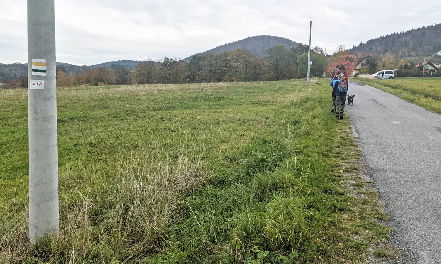
After about 20 minutes, we reach a road junction where we can choose the shorter and more challenging green trail (straight ahead) or the gentler but longer yellow trail (turn left).
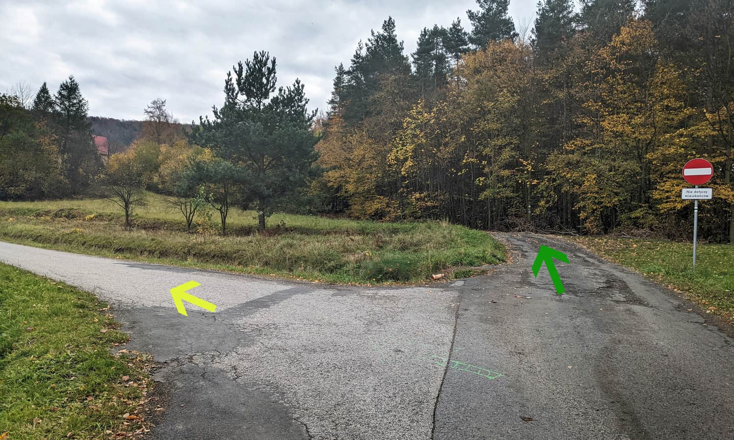
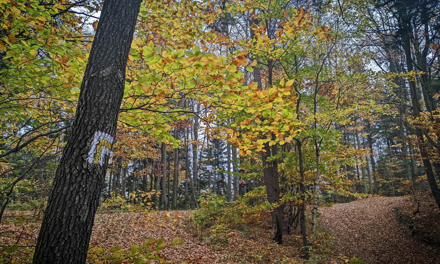
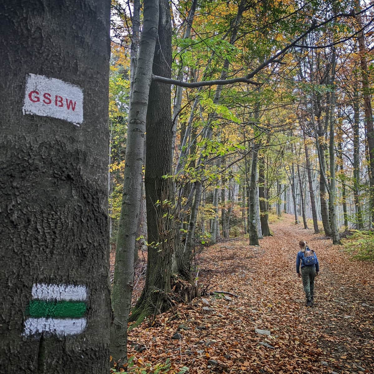
Yellow trail from Wiśniowa to Ciecień
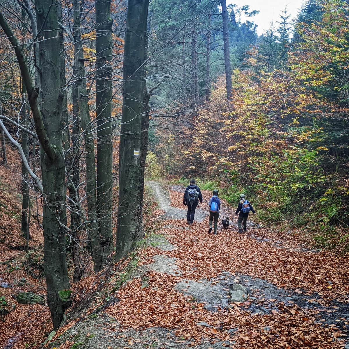
By choosing the yellow trail, we stay on the asphalt road, which will lead us to the forest after about 15 minutes.
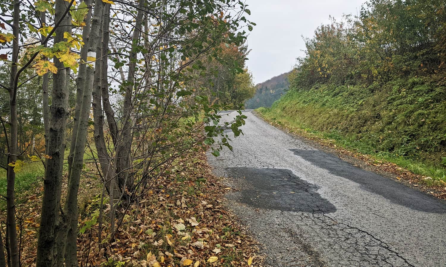
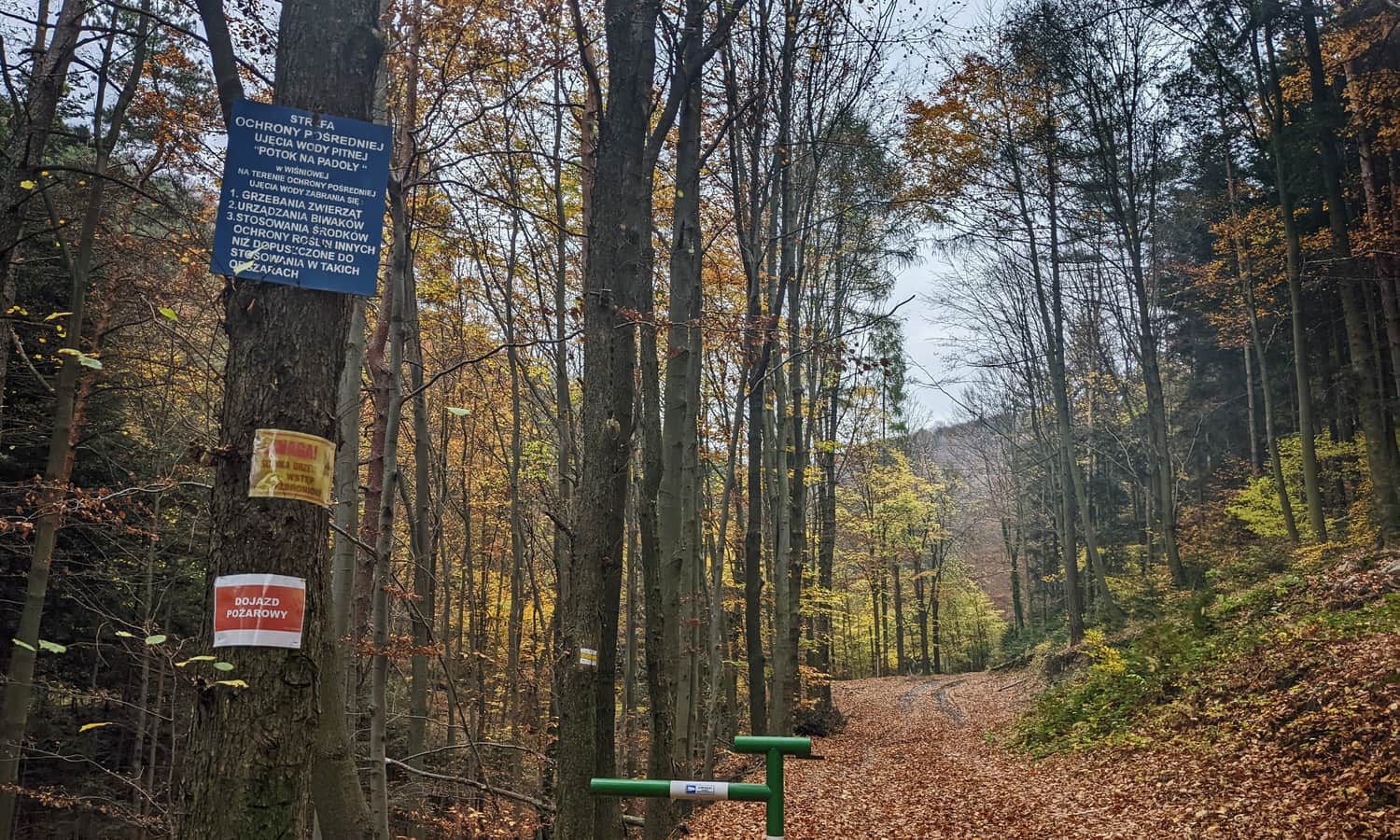
Now we will walk along a wide forest road, following the Potok na Padoły stream. The road ascends gently, bypassing the summit of Księża Góra.
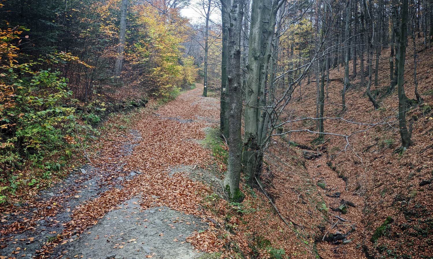
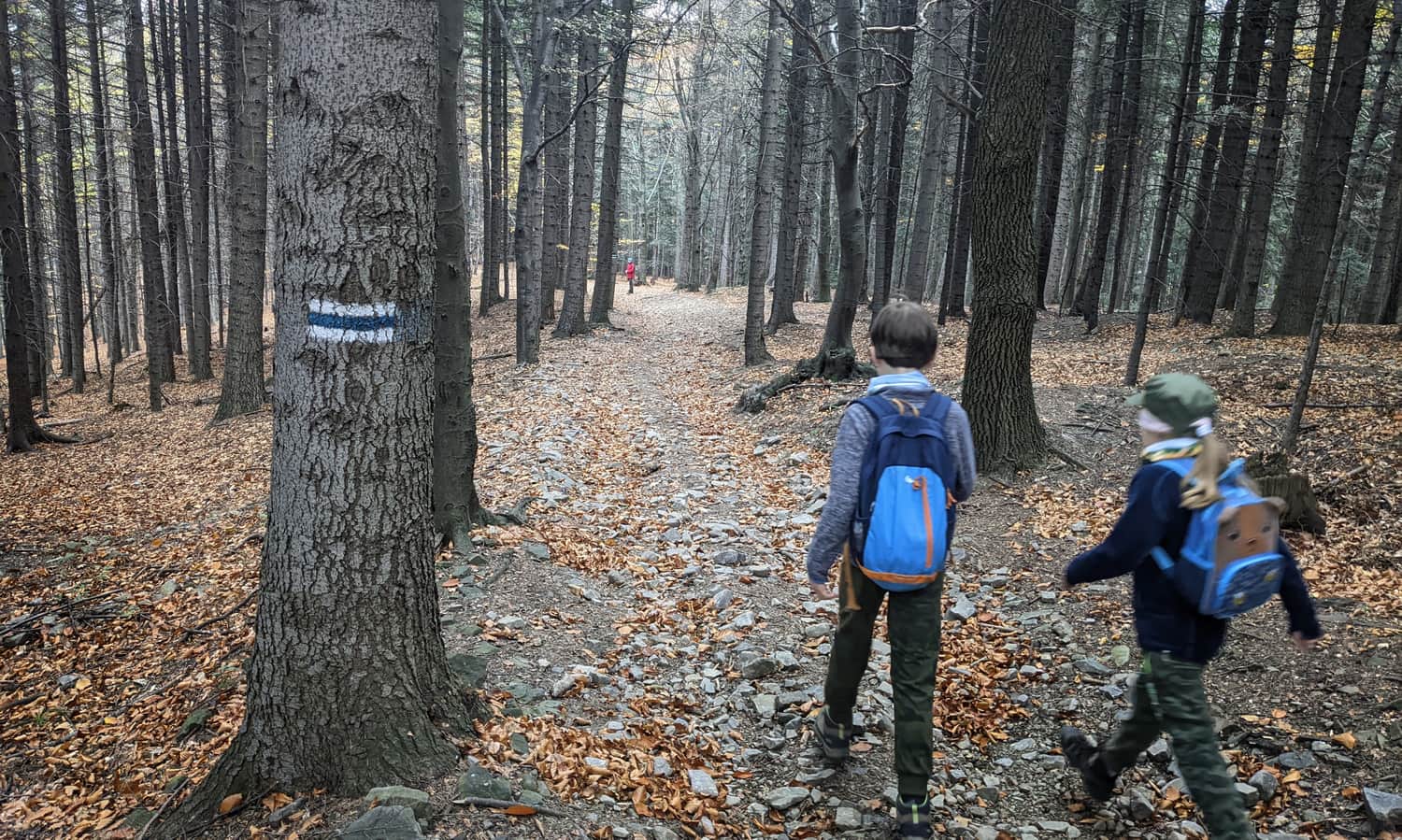
After about 1 hour from starting the trail in Wiśniowa, we will reach the ridge and the intersection with the blue trail.
If we continue on the yellow trail, in less than an hour, we will descend to Szczrzyce. Turning left (north), the blue trail will take us through Cubla Góra to Grodzisko (about 1 hour and 20 minutes), but we turn right towards Ciecień.
Blue trail to Ciecień
The blue trail follows the entire long ridge: Grodzisko - Cubla Góra - Księża Góra - Ciecień. Yes, the path will continue to ascend, but more gently than the final section of the yellow trail.
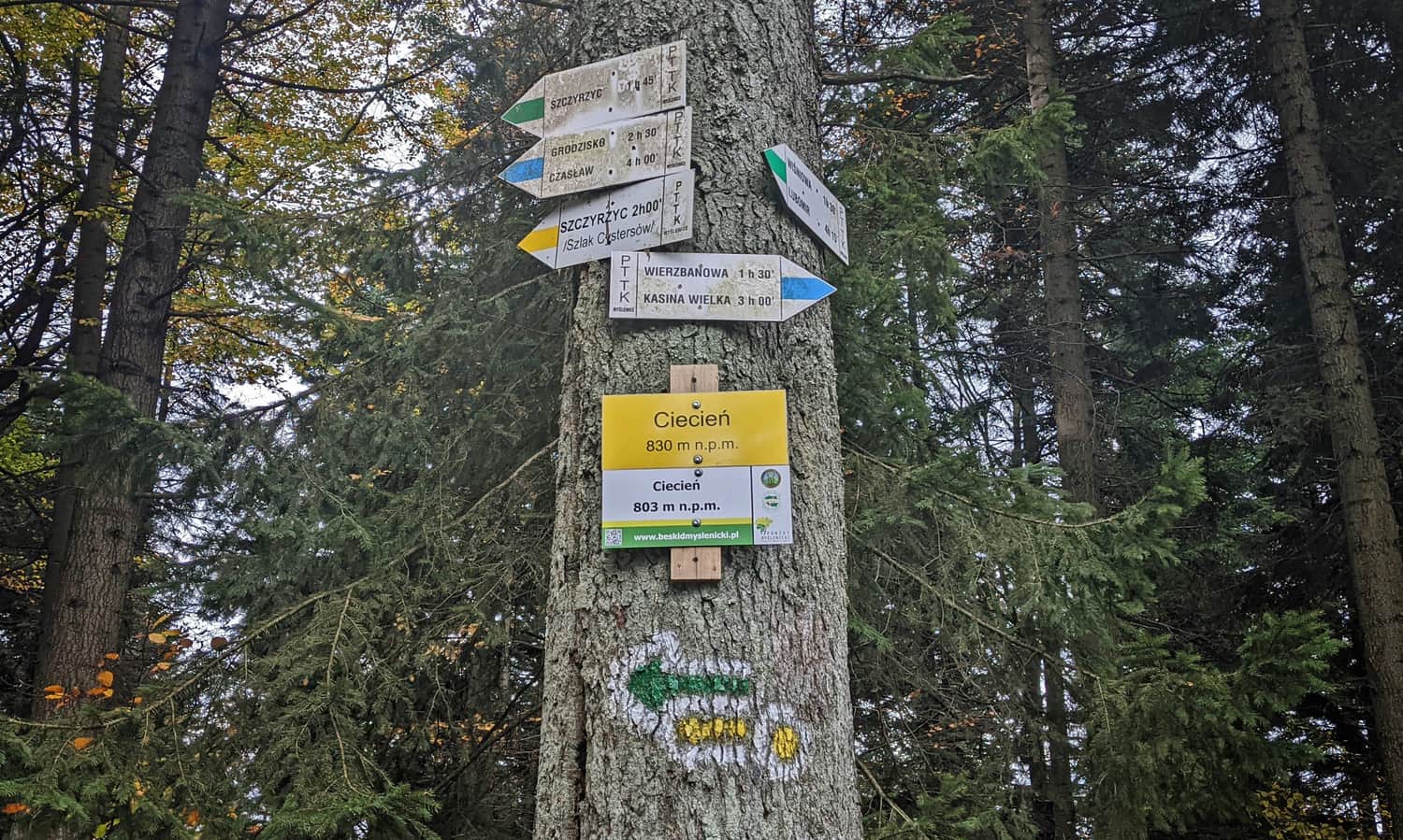
Along the way, we will pass intersections with trails from Szczrzyce: green, red, and yellow.
Ciecień - summit
After less than an hour of walking along the ridge, we will reach the summit of Ciecień: 829/830 meters above sea level (according to one of the signs, only 803 meters?). There is a comfortable bench here, but no commemorative stamp.
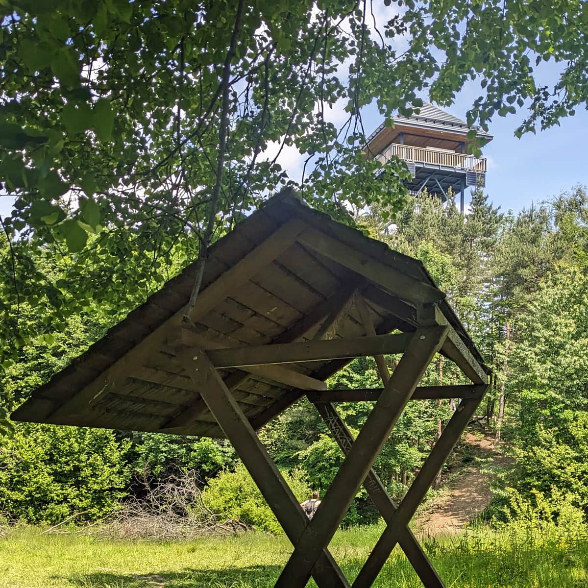
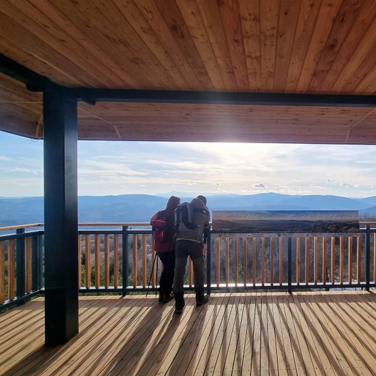
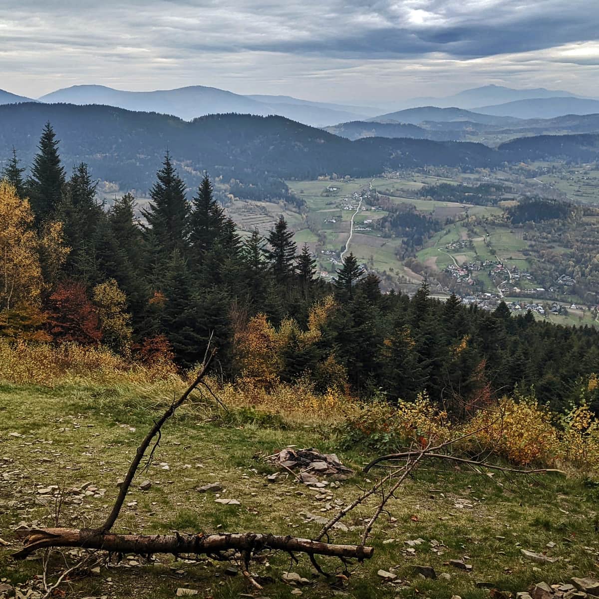
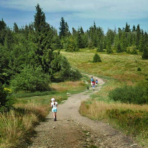
Scenic Meadow - Ciecień
From the summit of Ciecień, make sure to descend a few meters down the blue trail! There awaits a small but charming meadow with a beautiful view: in the foreground, neighboring peaks such as Wierzbanowska Góra, Lubomir, and Kamiennik, and in the far distance, the queen: Babia Góra; in between, a sea of gentle Beskid hills.

On a clear day, you may see paragliders taking off from here! It has recently become one of their favorite bases in the Beskid Wyspowy range.
Do you want to learn more about Ciecień? Here are some interesting facts about the summit:
Trails to Ciecień
Ciecień is a not very high peak in the Beskid Wyspowy range, measuring only 830 meters above sea level. Just below the summit, there is a viewpoint meadow. ...
From Ciecień to Wiśniowa
On the way back, you can return the same way (about 1 hour and 15 minutes), or for a change, take the shorter green trail downhill (45 minutes).
Medium
Green Trail to Ciecień from Wiśniowa

PS. We have included this route in the article "Mountain trails for family hikes near Krakow". Check out the others!
Mountain trails for family hikes near Krakow
Where to go from Krakow for a short mountain trip? Hundreds of kilometers of hiking trails south of the capital of Małopolska. ...

Publish Date:
Last Updated: