Green Trail to Ciecień from Wiśniowa
Nearby: Myślenice| Distance | 3.1km |
|---|---|
| Time | 1h 57min |
| Ascents | 471m |
| Descents | 15m |
beach_access Route in the shade
directions_car Access by car
directions_bus Can be reached by bus
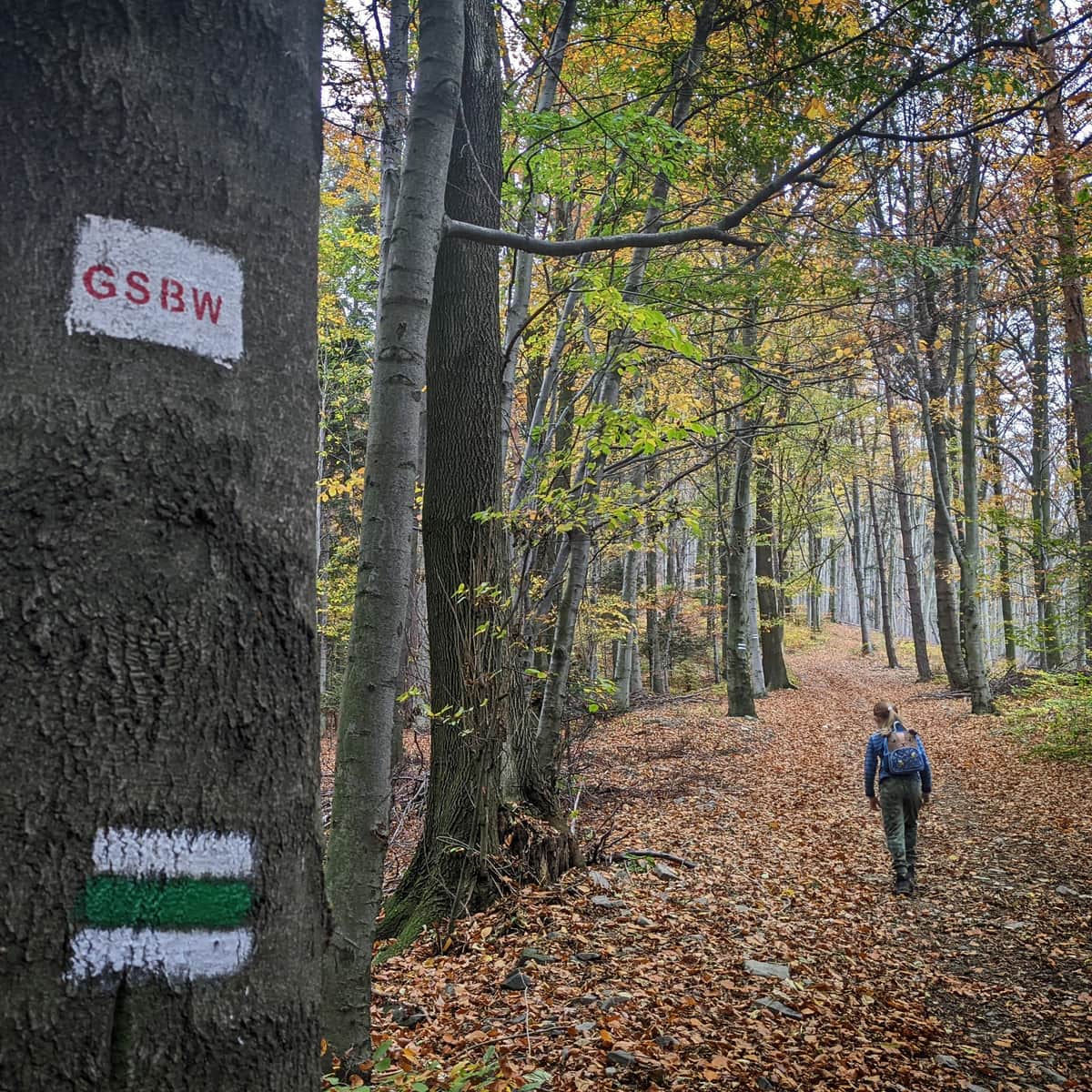
The Green Trail to Ciecień from Wiśniowa is a short forest walk with a beautiful viewpoint at the end of the journey. It is also a part of the long-distance GSBW (Main Trail of the Island Beskids).
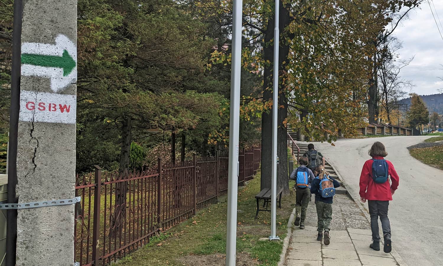
Starting Point of the Green Trail in Wiśniowa
In Wiśniowa, there are two trails that lead to the summit of Ciecień: a longer yellow trail and a shorter green trail. Both start in the center of the village, near the old wooden church (bus stop, large free parking near the cemetery). Initially (about 15 minutes), we walk on asphalt:
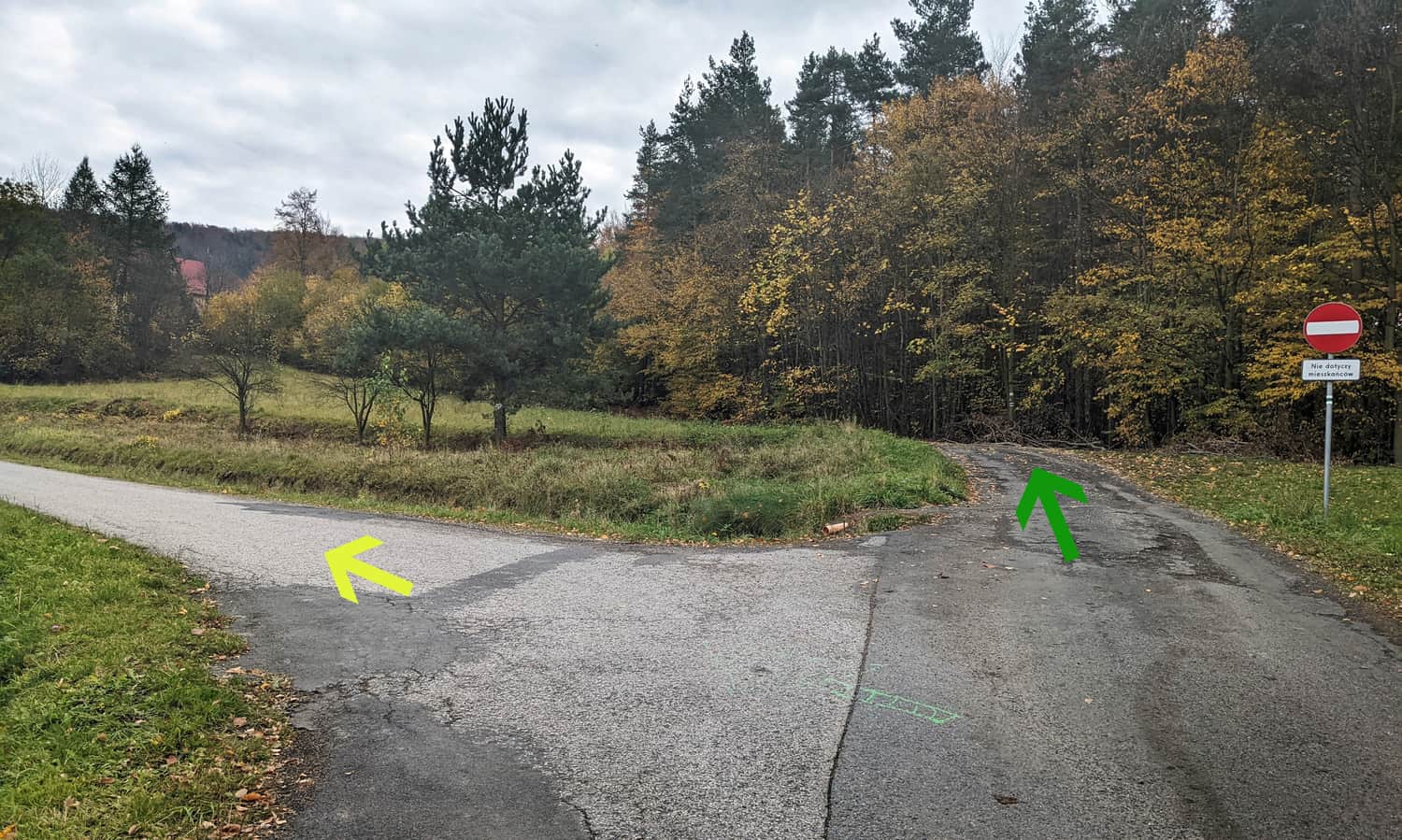
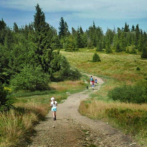
Soon, the trails diverge, and we continue straight on the green trail: through a small grove to another clearing:
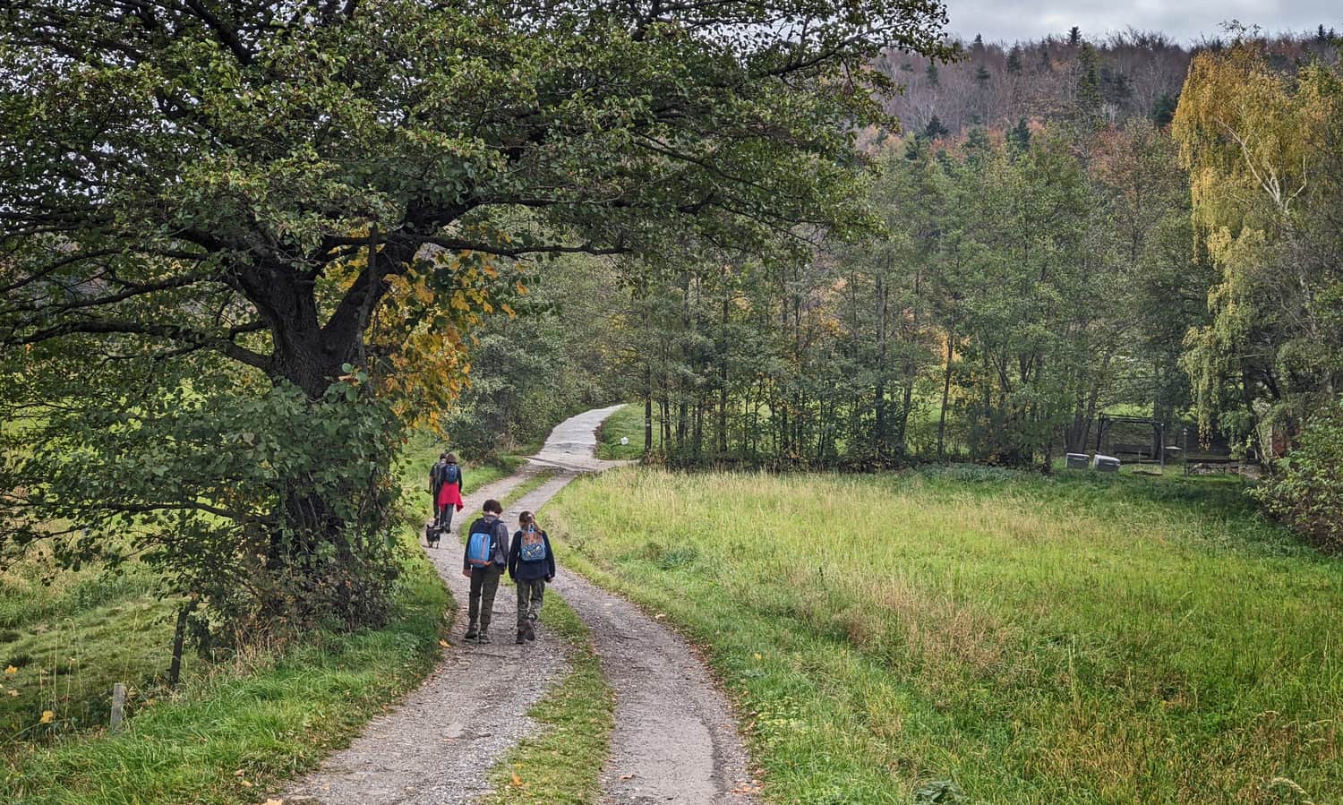
Before entering the forest, let's enjoy the view of the surroundings and the neighboring hills: Lubomir and Kamiennik:
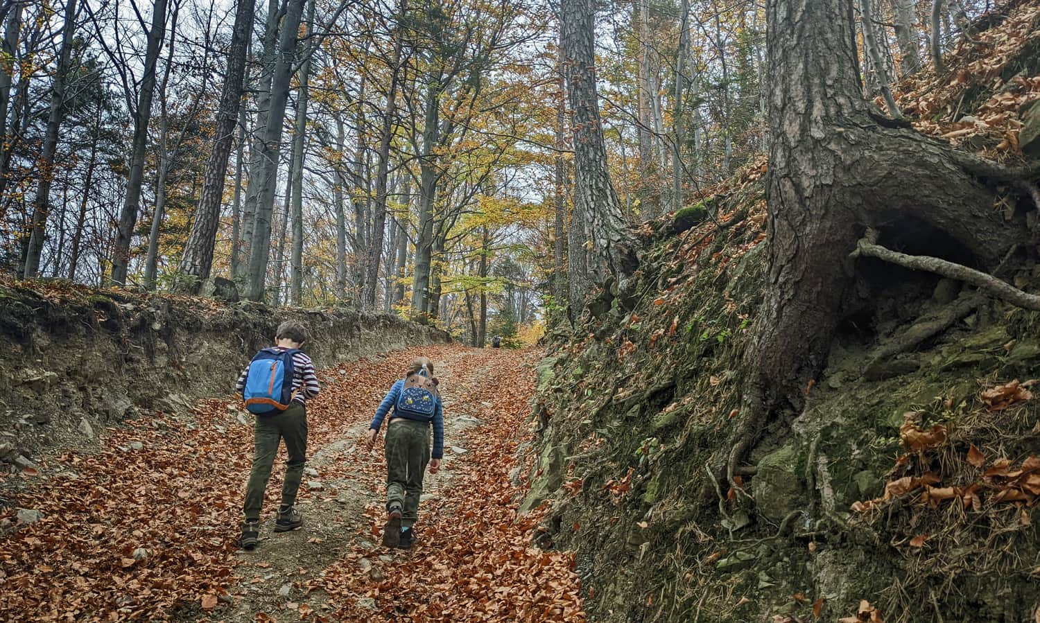
In the forest, we will encounter a quite steep climb. The forest road is comfortable and wide, but it goes uphill all the time - a moment of rest only at the summit, about 1.5 hours from the trailhead.
Ciecień - Summit
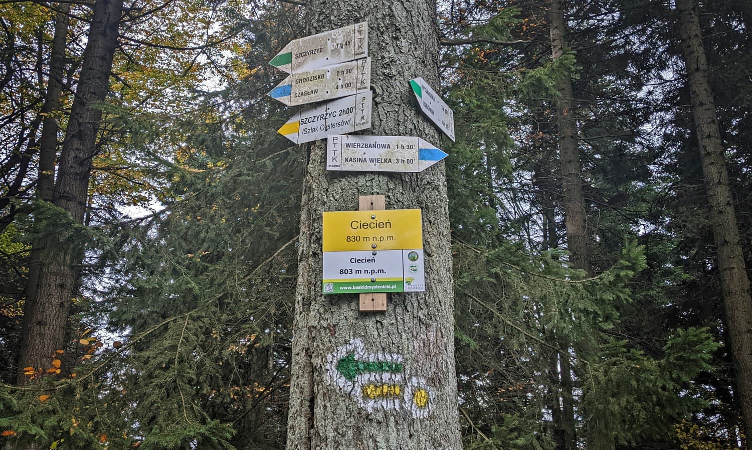
The summit of Ciecień is covered with trees. Besides some signposts, there is only a bench (no stamp). However, there are many interesting signs... It turns out that the elevation of the summit ranges from 803 to 830 meters above sea level.
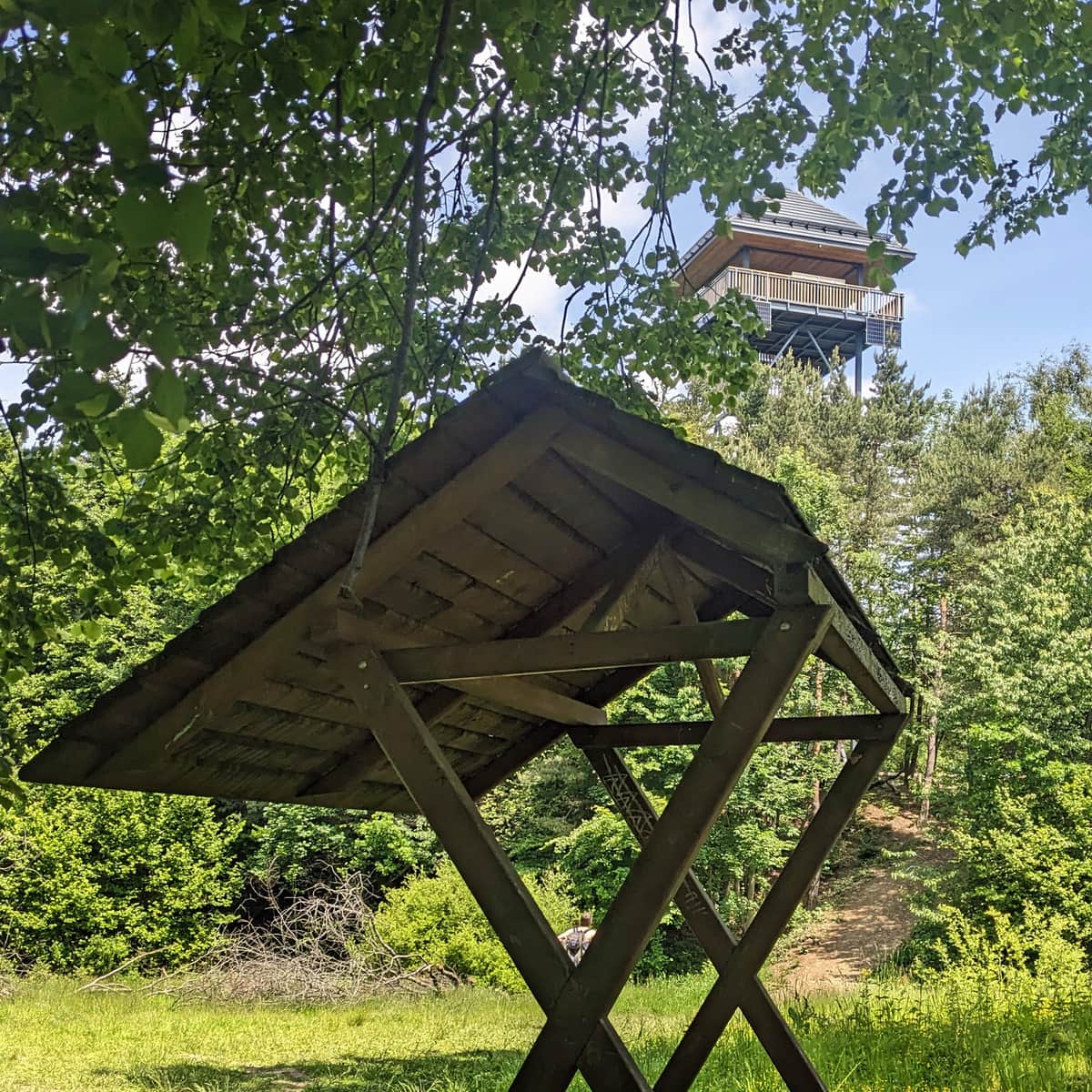
Ciecień - Views
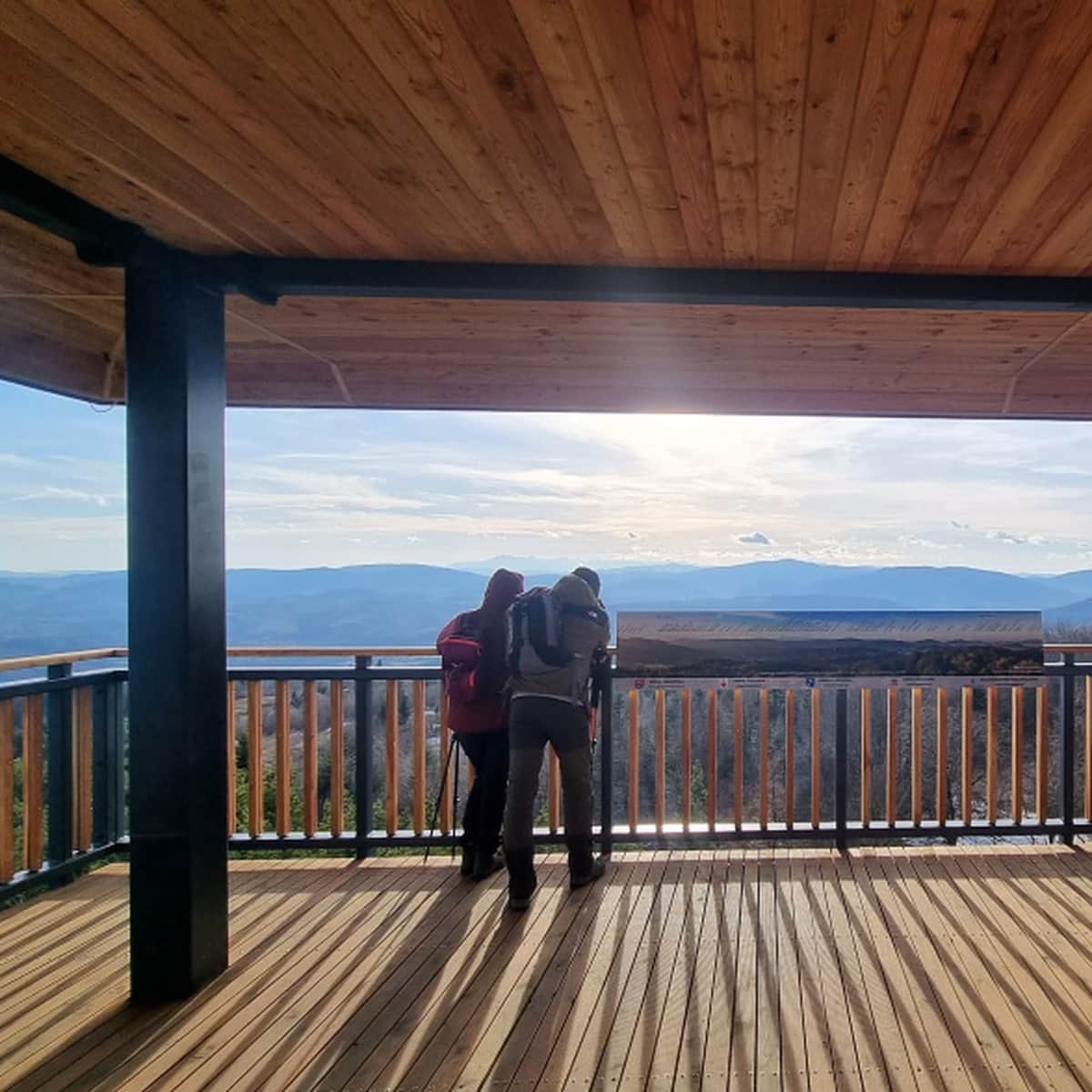
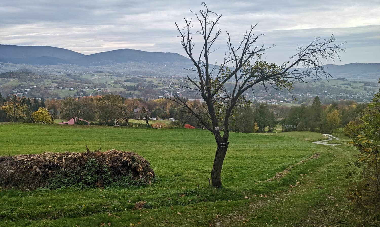
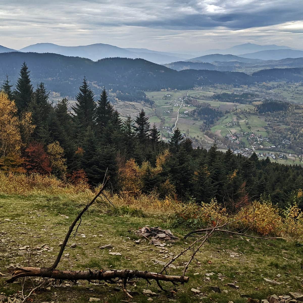
From the forested summit, we won't see anything... However, if we descend a few meters to the south on the blue trail, we will find a beautiful viewpoint!

On a clear day, you will see the characteristic silhouette of Babia Góra from here. It is also one of the favorite spots for paragliders, maybe you will be lucky enough to spot them?
Do you want to learn more about Ciecień? Here are a few interesting facts about the summit:
Trails to Ciecień
Ciecień is a not very high peak in the Beskid Wyspowy range, measuring only 830 meters above sea level. Just below the summit, there is a viewpoint meadow. ...
Ciecień - Wiśniowa: Loop with Green, Blue, and Yellow Trails
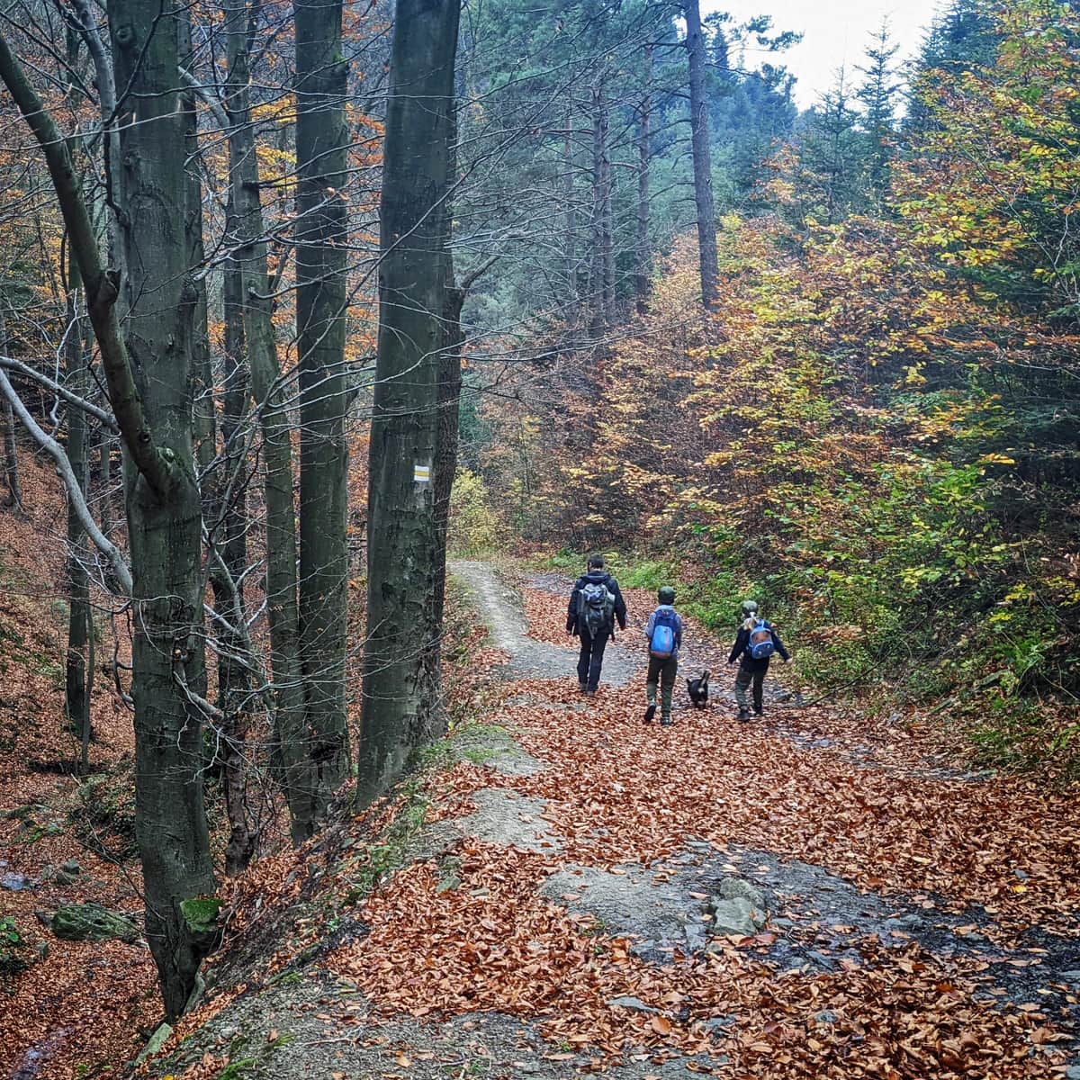
We can return to Wiśniowa the same way (the descent takes about 45 minutes), but if we are not in a hurry, it is worth walking along the ridge towards Księża Góra and then descending to Wiśniowa on the yellow trail. In total, this loop will take about 3 hours.
Medium
To Ciecień from Wiśniowa - yellow trail

PS. We have included this trail in the article "Mountain Trails for Family Hikes near Krakow". Check out the rest of them!
Mountain trails for family hikes near Krakow
Where to go from Krakow for a short mountain trip? Hundreds of kilometers of hiking trails south of the capital of Małopolska. ...

Publish Date:
Last Updated: